|
|
|
Directions: From Denver head west on I-70 and east on C-470. Exit at Wadsworth Blvd and head south towards Chatfield State Park. Pass by Chatfield and turn left onto Waterton Road just before the Lockheed Martin Facility. Turn right on North Rampart Range Road and head south to the dirt road leading into Roxborough State Park. Instead of turning right into Roxborough, proceed straight on the dirt road (Roxborough Park Road) heading uphill. Follow the dirt road until you see the Sharptail Ridge Open Space parking area and trailhead on the right.
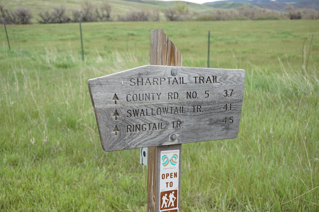
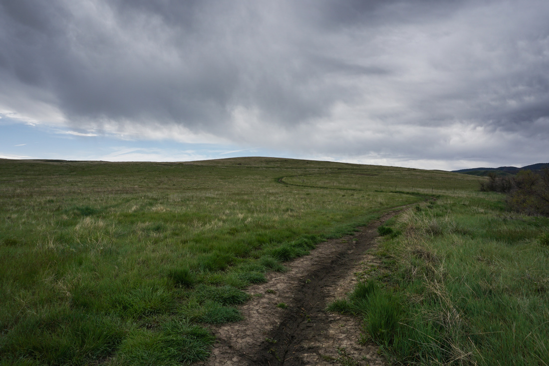
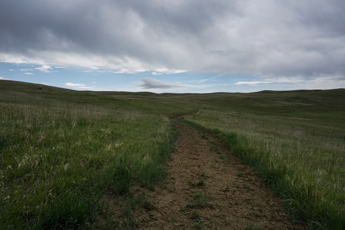
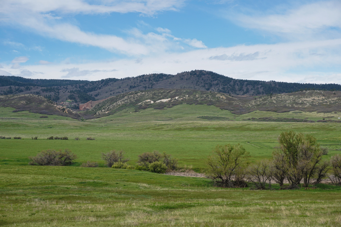
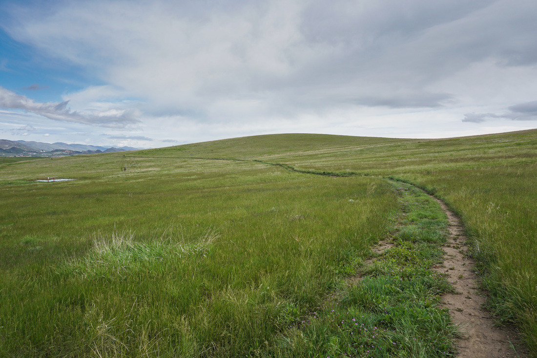
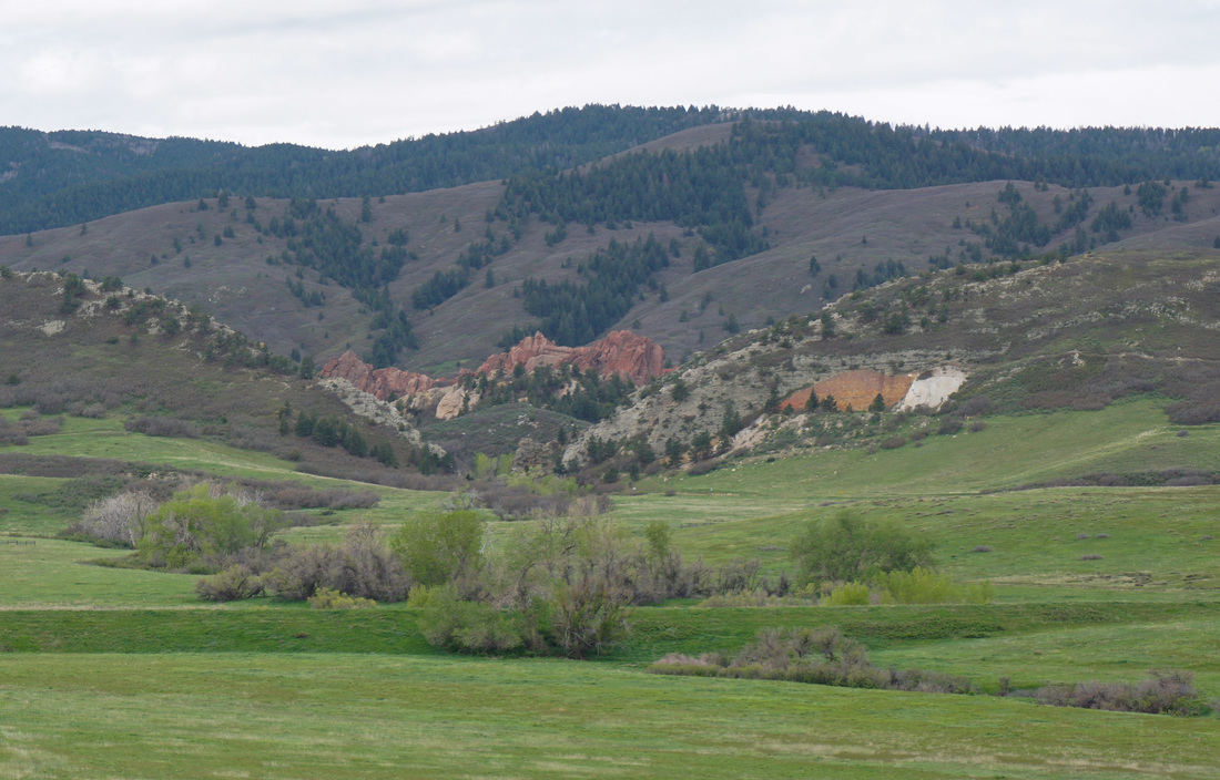
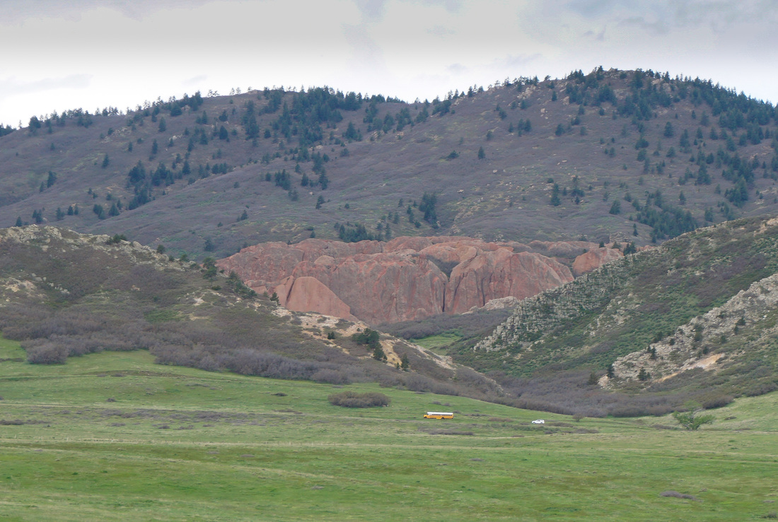
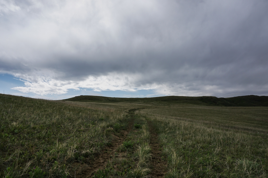
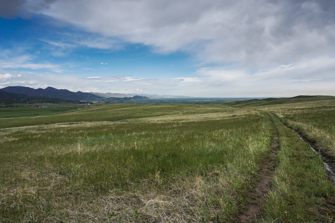
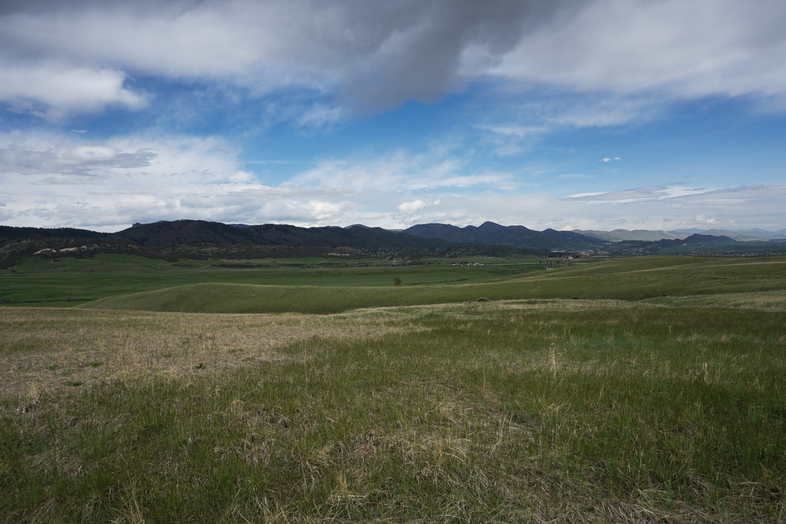
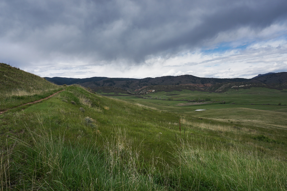
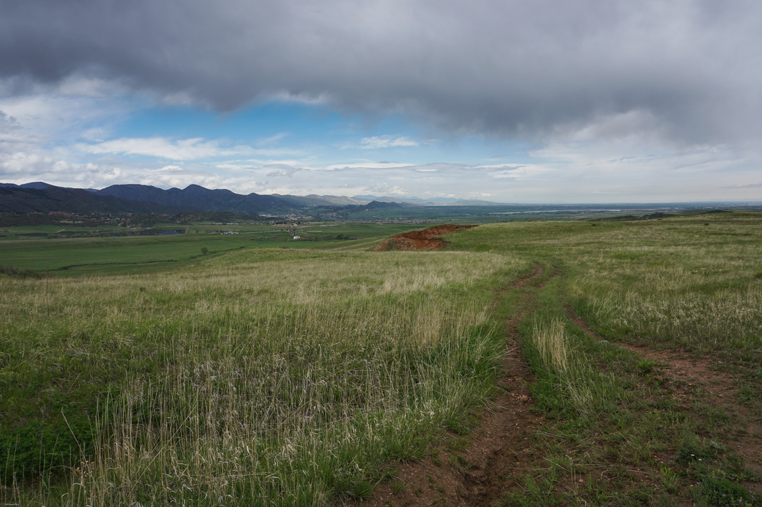
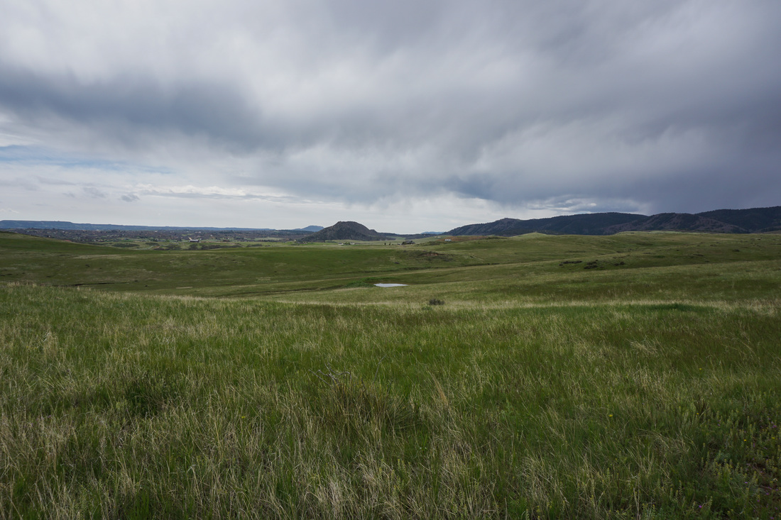
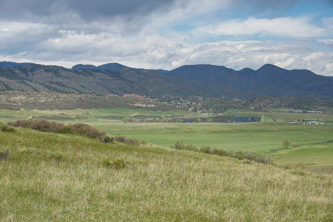
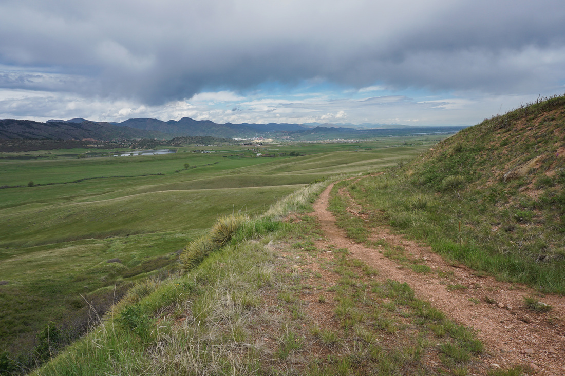
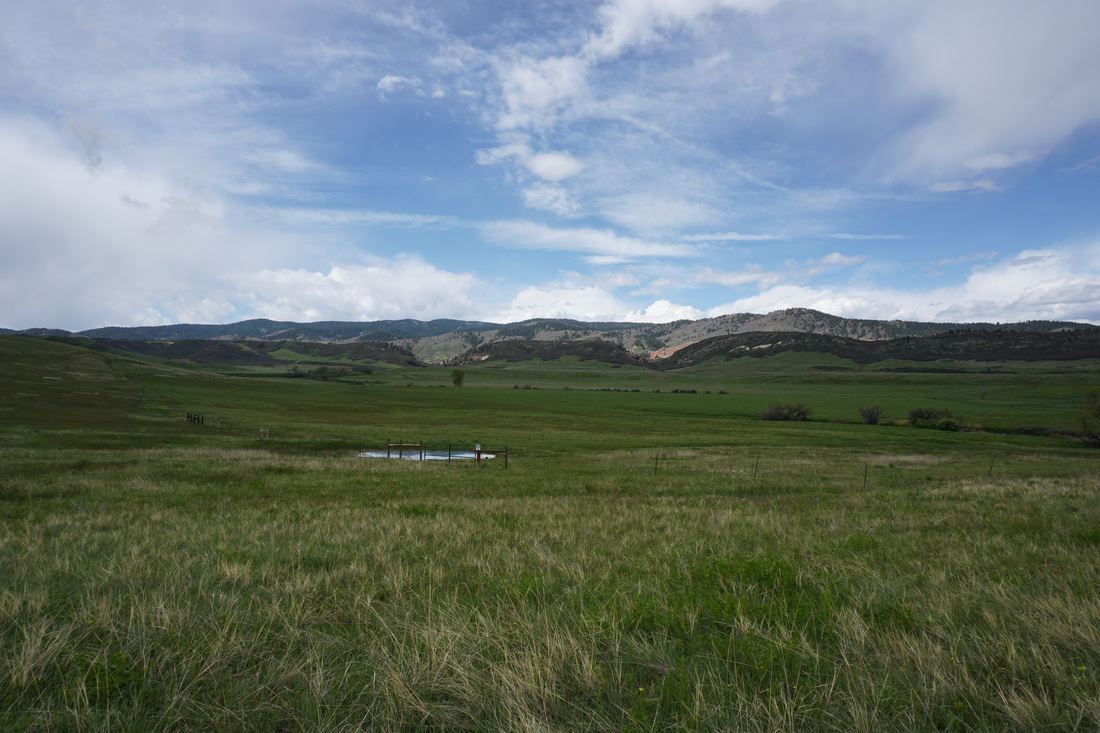
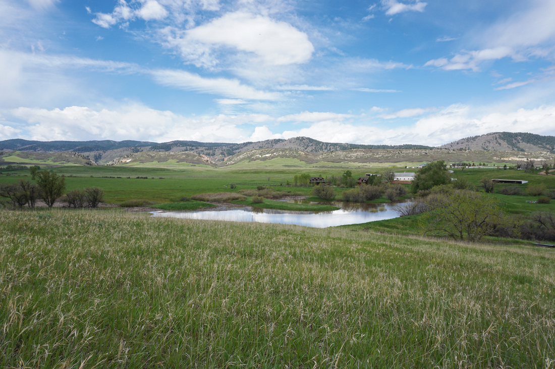
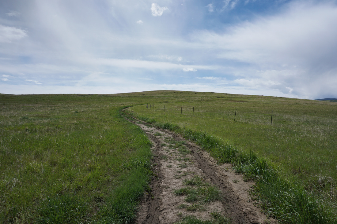
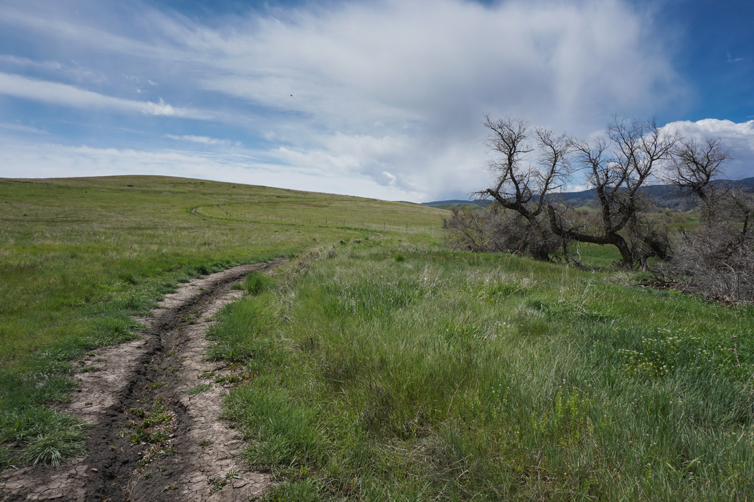
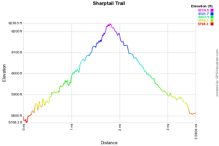
The Sharptail Trail is part of the Douglas County Open Space trail system that surrounds and links to Roxborough State Park. The trail links to the Swallowtail Trail and then to the Ringtail Trail which takes you into Pike National Forest and ultimately leads to the Indian Creek Trail. The Sharptail Trail extends for 4.4 miles at which point it joins the Swallowtail Trail. While hiking the entire length of the trail would be 9 miles, the open space is nice to explore on shorter hikes. For this trail there really is no destination, the hike itself is the scenic attraction and there are some natural turnaround points along the way. This description is an out and back hike that travels 1.6 miles to the top of a mesa ridge. There really are not many directions needed here. From the parking area head out on the obvious (and only) trail. Cross the creek and head uphill as the trail snakes its way over the rolling hills. The views from the trail are wonderful and they improve the higher you go. By the time you reach the top of the mesa you’ll be rewarded with terrific views of the Front Range foothills and the red rock of Roxborough State Park as it peeks out from breaks in the hogback. The trail is peaceful and quiet with few visitors. Be careful in the rainy spring season as the trail quickly becomes a muddy mess. However, with all the rain comes the green rolling hills that will soon become gold and brown so braving the mud in this case is likely worth the extra effort. |
|