|
|
|
Directions: This hike starts at the main parking area for Roxborough State Park (Park Fees are required). From Denver take C470 and exit at S. Wadsworth Blvd. Follow S. Wadsworth south until you pass by the Waterton Canyon Parking Area. The road then becomes Waterton Road as you bear left. Make a right on N. Rampart Range Rd. Take this road until it ends and you see the signs for Roxborough SP. When you enter the park you follow the good dirt road to the parking area and visitor's center. The trail starts across from the flag pole at the main trailhead.
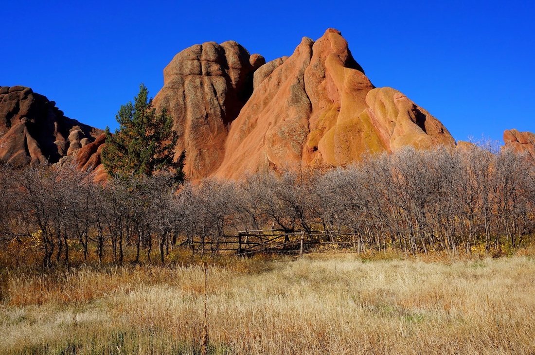
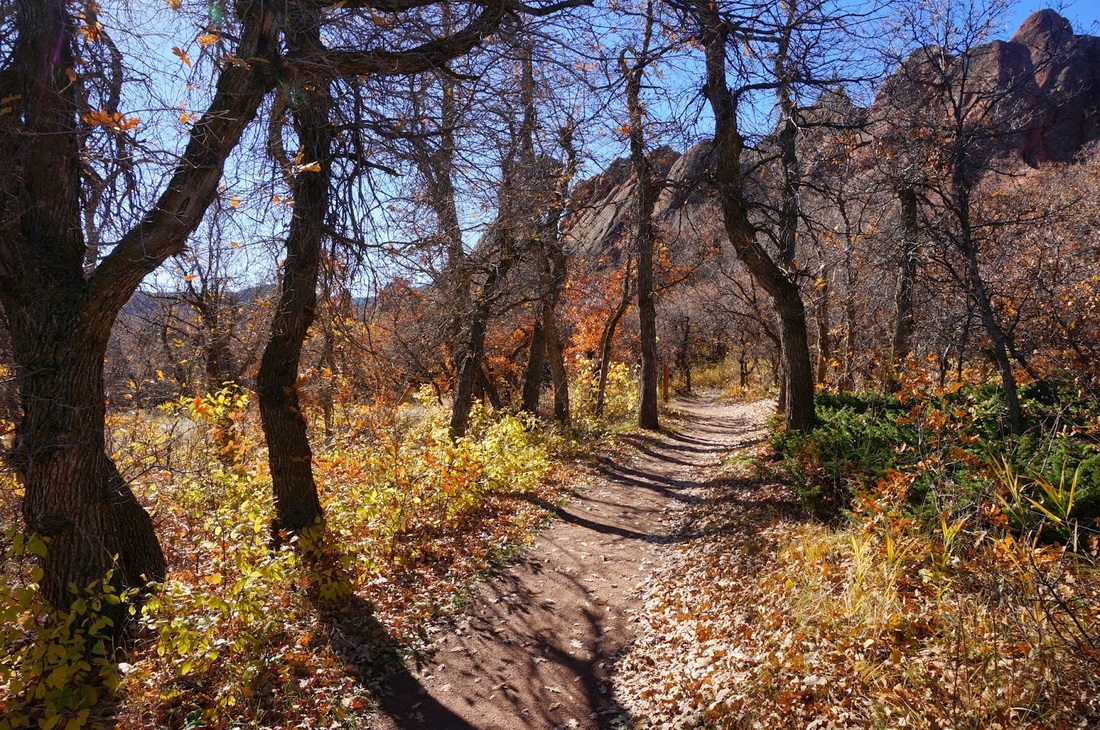
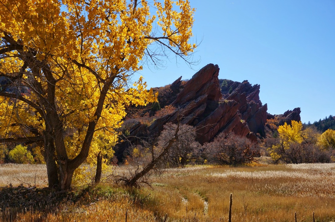
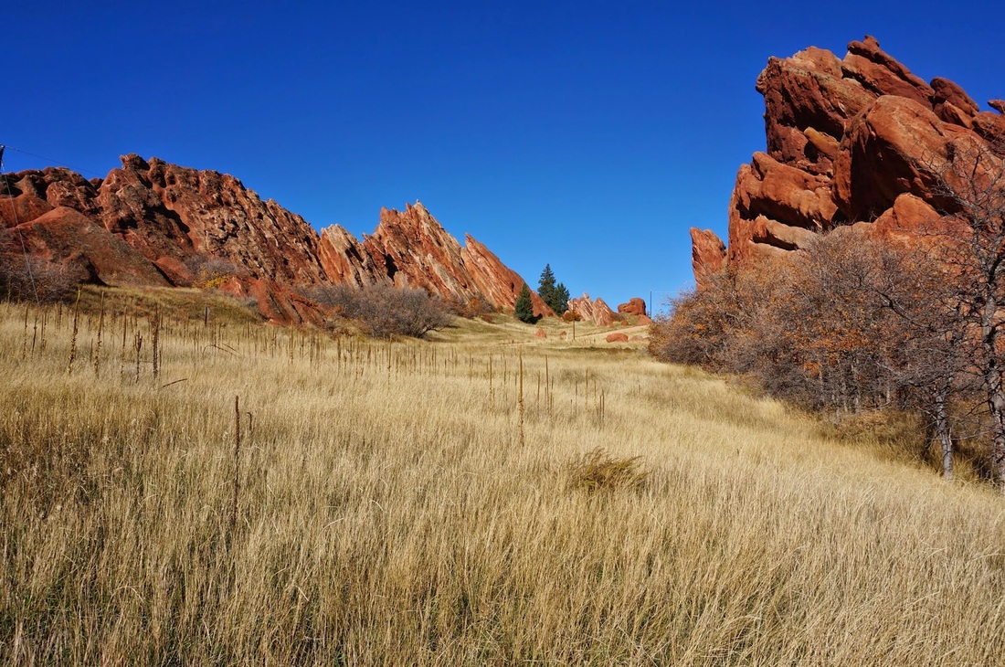
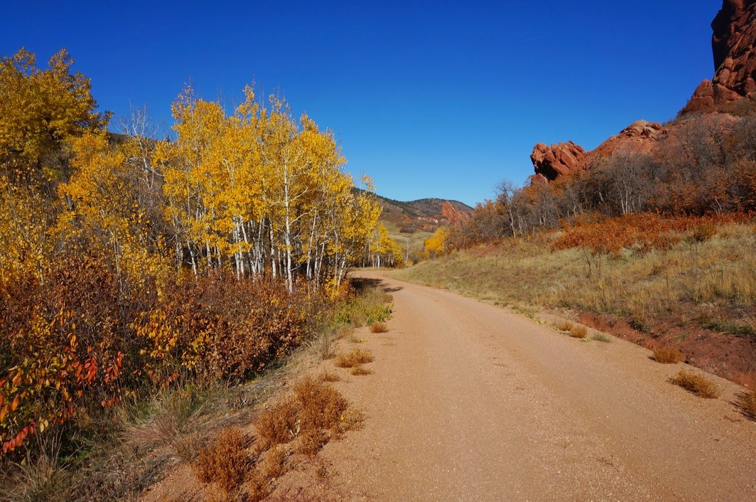
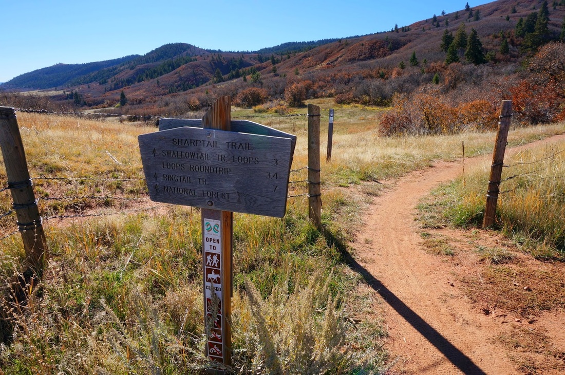
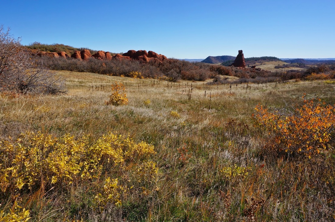
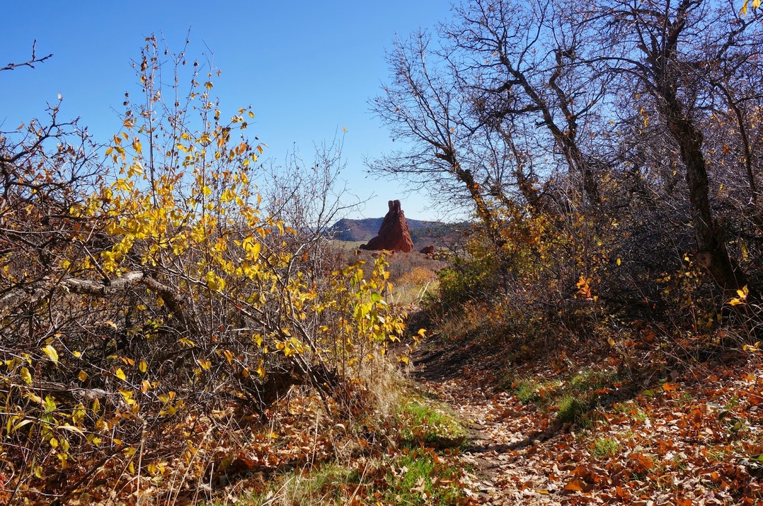
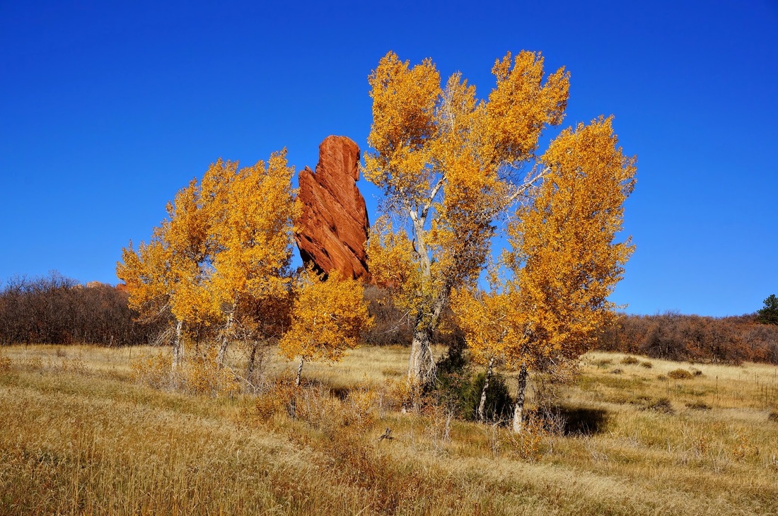
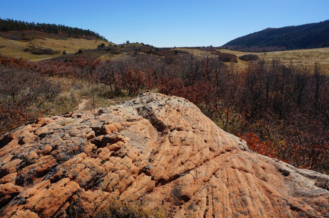
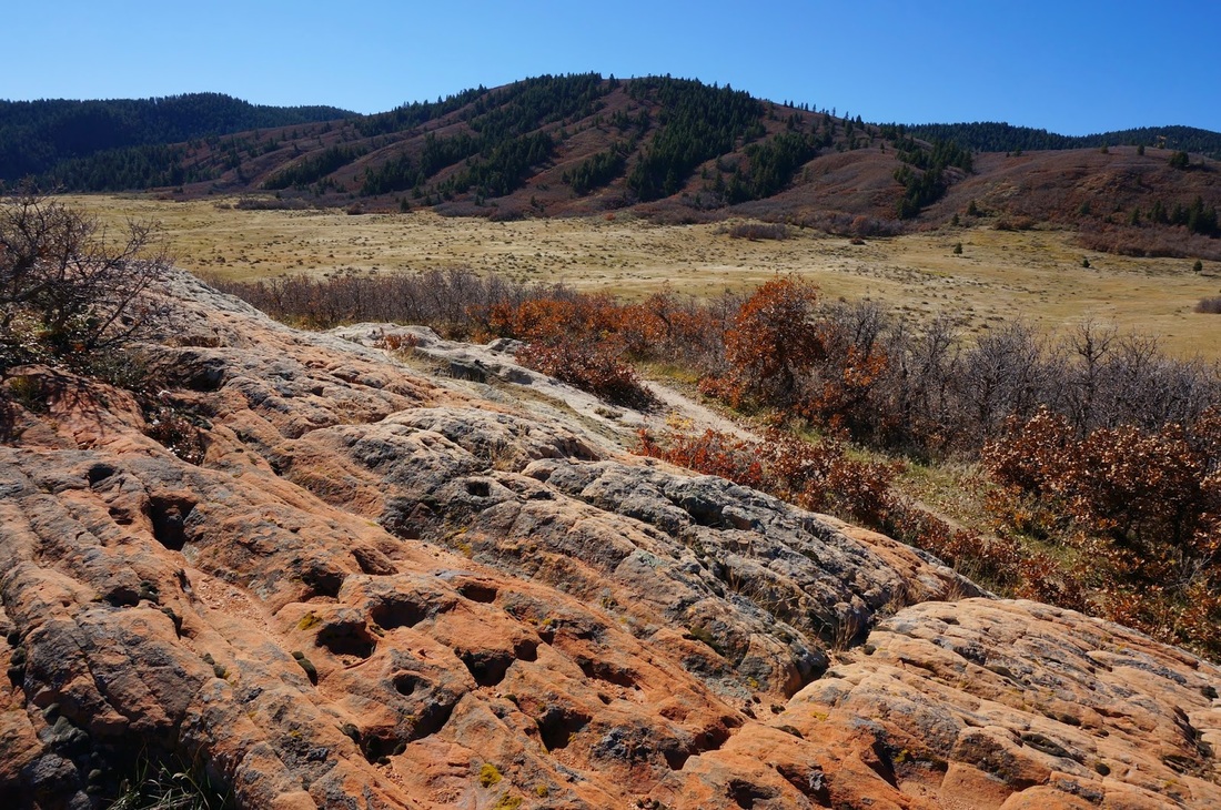
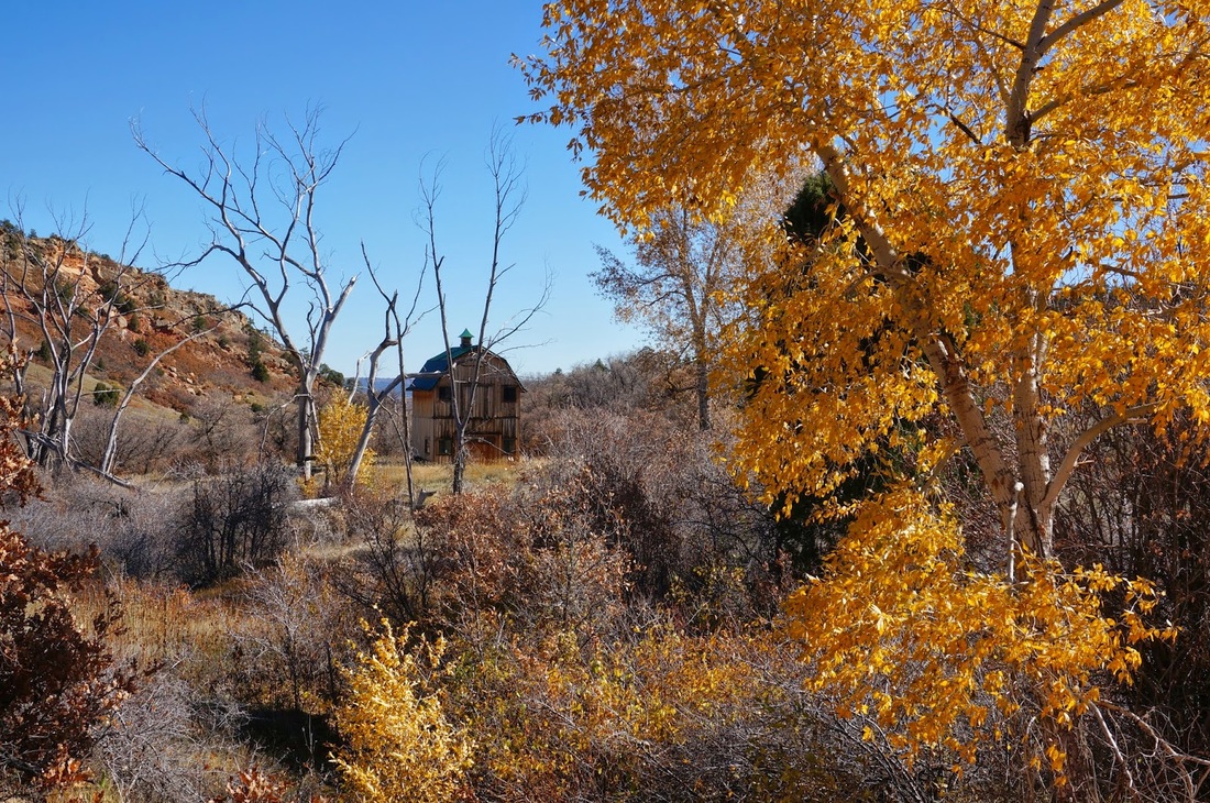
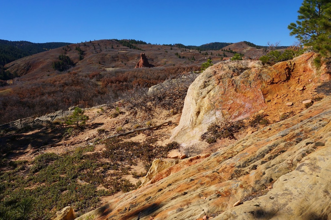
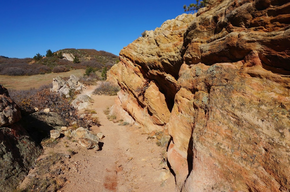
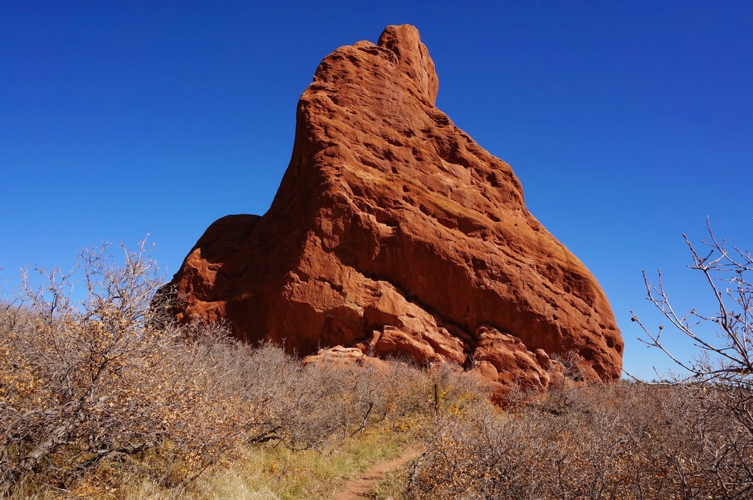
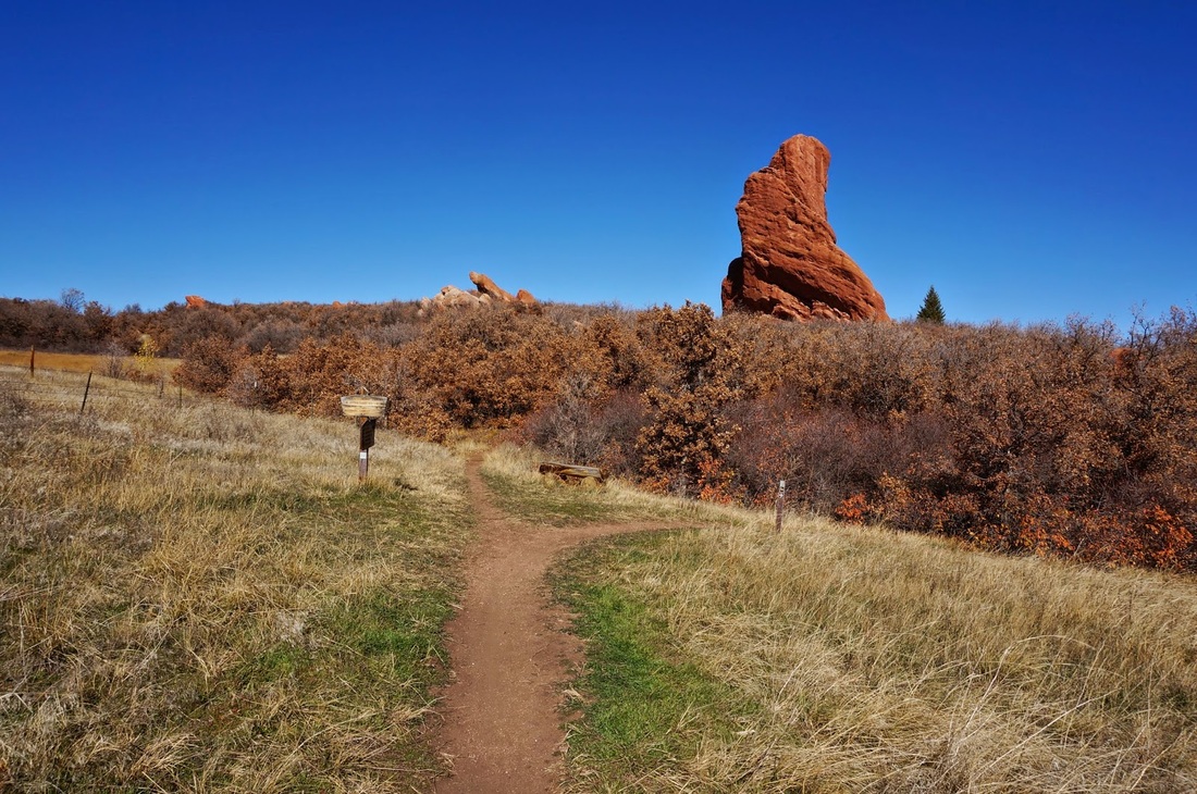
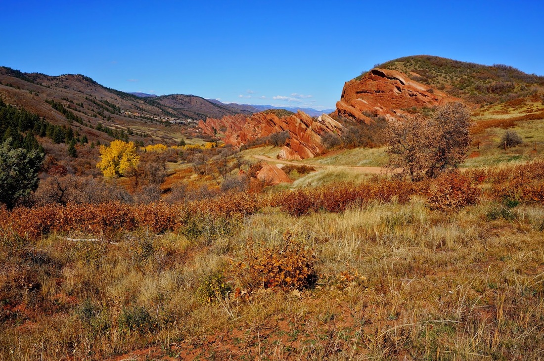
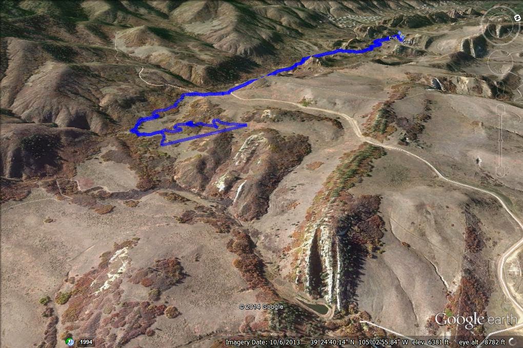
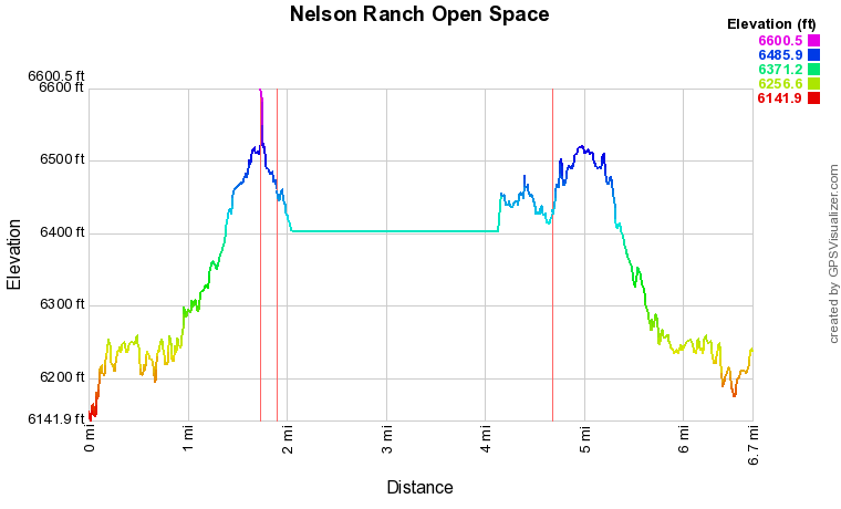
This hike accesses the difficult to get to Nelson Ranch Open Space. Managed by Douglas County, this area is only accessible by this hike, or by hiking/biking in via the Sharptail Trail (4.6mi) or the Ringtail Trail (7.2mi). The difficult access is worth it however as Nelson Ranch is a peaceful foothills park with impressive Red Rock formations and few people. Start out by following the signs towards the Willow Creek Trail, South Rim Trail, and Carpenter Peak Trails. Follow the trail through Roxborough's red rock splendor until you hit County Rd 5. Going straight takes you up to Carpenter Peak, but you want to turn left and follow the dirt road for about 1 mile. The road takes you past some impressive cliffs and a few small private houses before reaching the trail junction with the Sharptail Trail. Don't take this trail, instead follow the road for a few minutes more to the next trail junction. There is terrific view here looking back onto the entirety of Roxborough. Enter the trail through the fence and follow the signs to the Swallowtail trail loops. There are two loops, the upper and the lower, I prefer to follow the upper trail first and work your way counter-clockwise back to the starting place. This takes you past the red rock tower (I think it is actually called Red Rock...) on your way out of the loop. Once you complete the loops, head back the way you came. This trail provides similar terrain to Roxborough but lacks the crowds that tend to build up on summer days. Nelson Ranch itself is mostly flat but follows a rolling trail through a geologically impressive landscape. The trail is particularly nice in the fall when the temperatures are cooler and the scrubby brush is turning a nice yellow and red color. |
|