GO HIKE COLORADO
Get in Touch:
  • HOME
  • ABOUT
  • HIKES BY REGION
    • DENVER AREA >
      • Denver Mountain Parks
      • Jefferson County Open Space
      • Lakewood Parks
      • Denver Area Greenways
    • BOULDER AREA
    • DOUGLAS COUNTY
    • FORT COLLINS AREA
    • COLORADO SPRINGS AREA
    • FRONT RANGE
    • TENMILE & MOSQUITO RANGES
    • GORE RANGE
    • SANGRE DE CRISTO MOUNTAINS
    • PARK RANGE
    • SAWATCH RANGE
    • ELK MOUNTAINS
    • SAN JUAN MOUNTAINS
    • THE FLAT TOPS
    • GRAND MESA
    • COLORADO PLATEAU
    • EASTERN PLAINS
  • NATIONAL PARK HIKES
    • BENT'S OLD FORT NATIONAL HISTORIC SITE
    • BLACK CANYON OF THE GUNNISON NATIONAL PARK
    • COLORADO NATIONAL MONUMENT
    • CURECANTI NATIONAL RECREATION AREA
    • DINOSAUR NATIONAL MONUMENT
    • FLORISSANT FOSSIL BEDS NATIONAL MONUMENT
    • MESA VERDE NATIONAL PARK
    • ROCKY MOUNTAIN NATIONAL PARK
    • GREAT SAND DUNES NATIONAL PARK
    • HOVENWEEP NATIONAL MONUMENT
    • SAND CREEK MASSACRE NATIONAL HISTORIC SITE
    • YUCCA HOUSE NATIONAL MONUMENT
  • HIKES BY CATEGORY
    • HIKES TO ALPINE LAKES
    • HIKES TO PEAKS & PASSES
    • HIKES THROUGH CANYONS
    • HIKES WITH FALL COLORS
    • HIKES ALONG THE I-70 CORRIDOR
    • HIKES ON PAVED TRAILS
    • HIKES FOR KIDS
    • HIKES TO WATERFALLS
    • HIKES ALONG RIVERS
    • HIKES WITH ROCK FORMATIONS
    • HIKES WITH WILDFLOWERS
    • WINTER HIKES
  • NEWS
  • WEBCAMS
  • $UPPORT GHC
  • INTERACTIVE MAP

Challenge Hill Incline (Blue Loop)
Philip S. Miller Park

Date Hiked: February 18, 2018

Distance: .6 mi (RT)
Elevation Gain: 200 ft
Elevation Max/Min: 6,399 to 6,570 ft 
Trailhead Lat/Long: 39º 22' 04" N; 104º 52' 42" W  
Managing Agency: Town of Castle Rock
​Fee: None

Philip S. Miller Park Trail Map
Picture

DIRECTIONS:  From I-25 in Castle Rock, take Exit 181 for Plum Creek Parkway and head west for 3/4 of a mile to the park entrance on the left. 

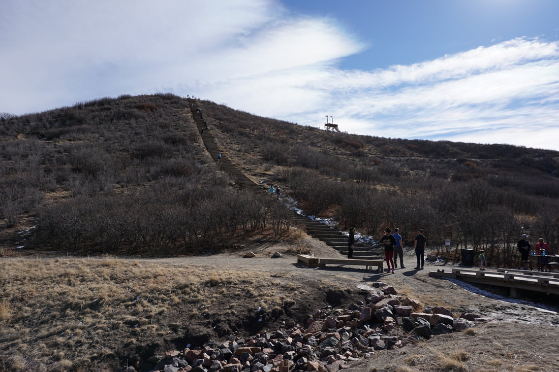
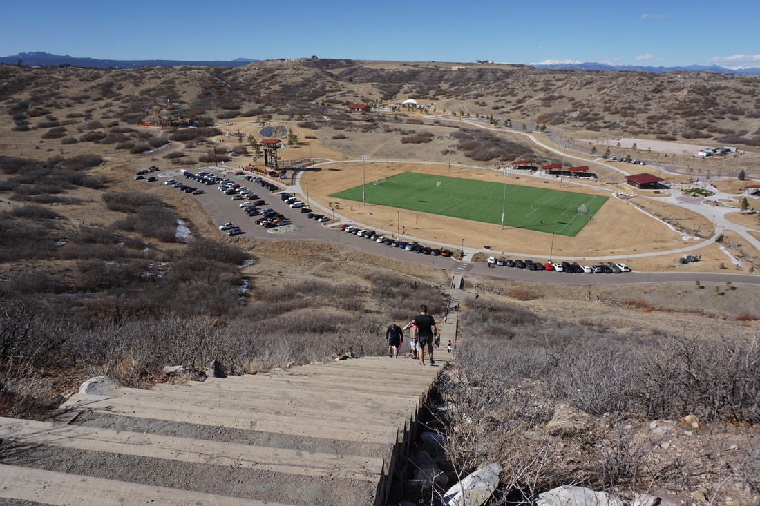
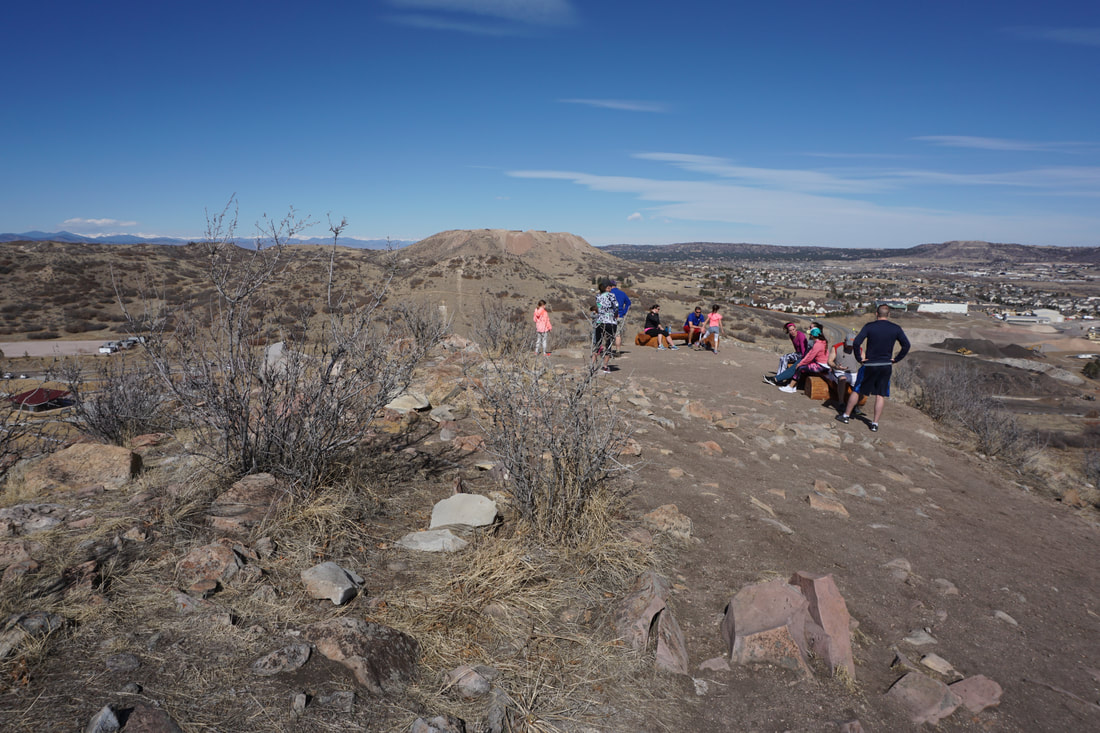
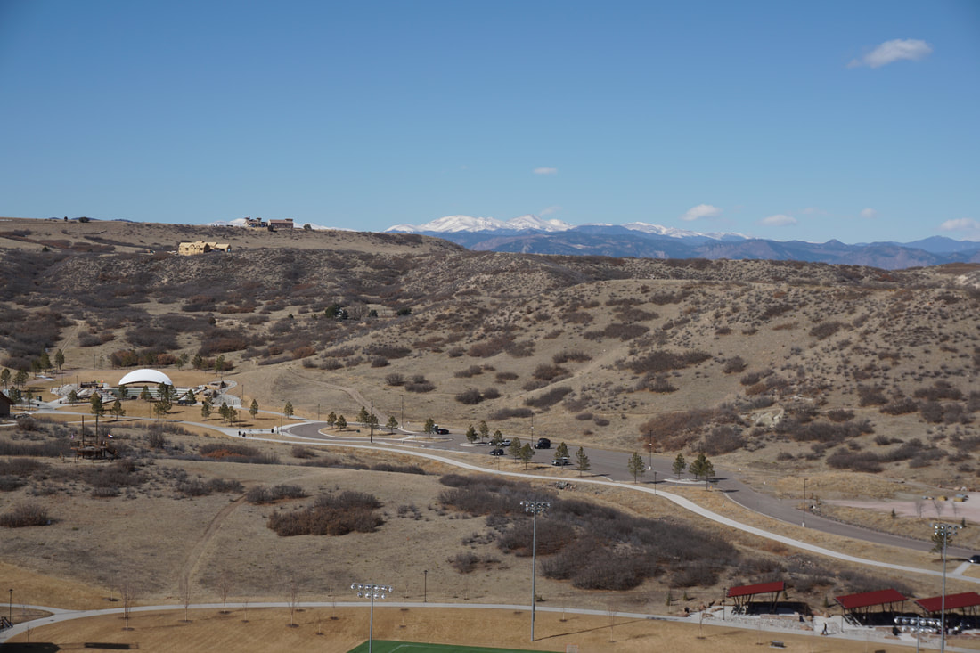
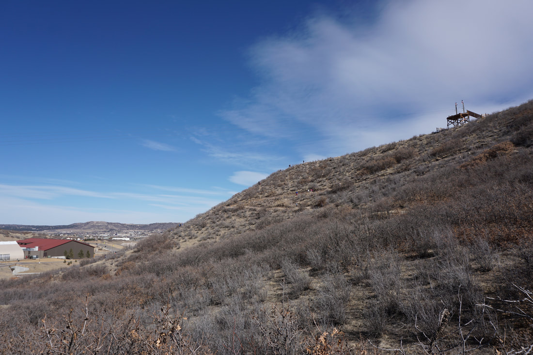
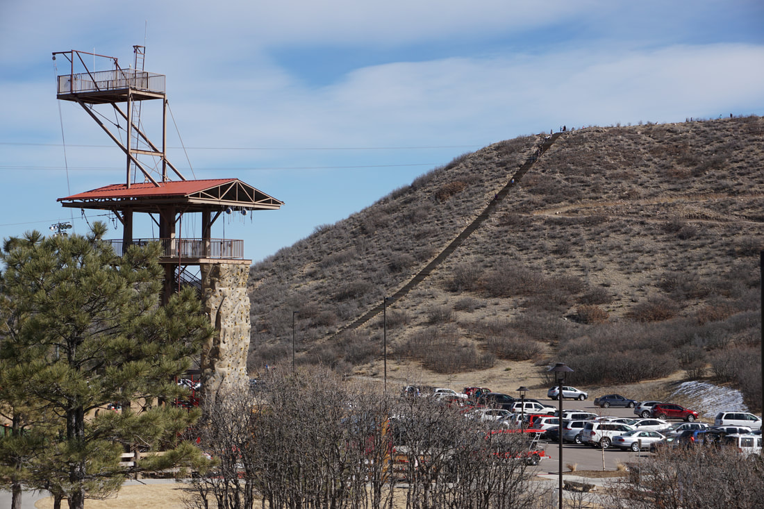
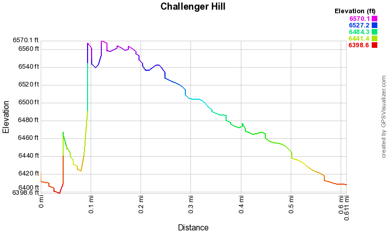
Philip S. Miller park has a lot to offer.  If you have kids, this park will be your best friend.  If you are looking for miles and miles of hiking trails in the vicinity of Castle Rock, then you'll also be pleasantly surprised.  The main attraction is the incline, a miniature version of the Manitou Incline with 200 steps rising about 200 ft to the top of a hill with great views of the Front Range mountains and the surrounding terrain.  The incline is labeled as an "extreme obstacle" on the trailhead sign, but it's not too difficult. It get's steeper as you go but must people walk/run up and down it multiple times for their workout.  That being said, you are gaining 200 ft of elevation in .1 mi, steeper than your typical hiking trail.

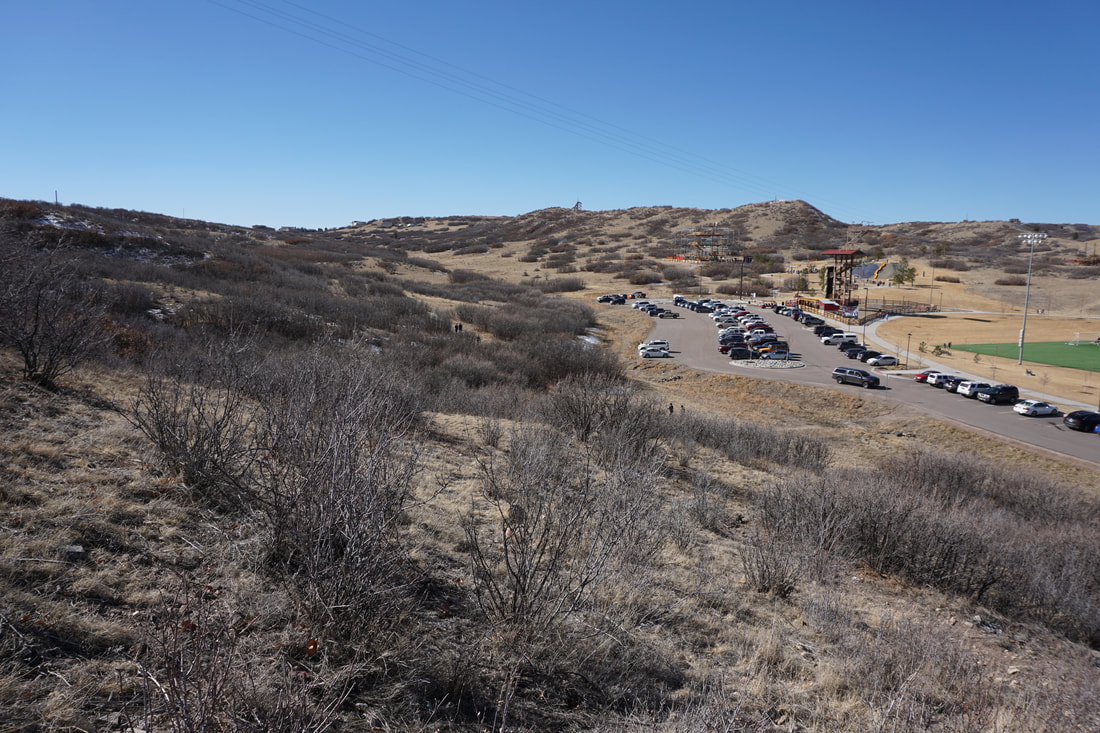
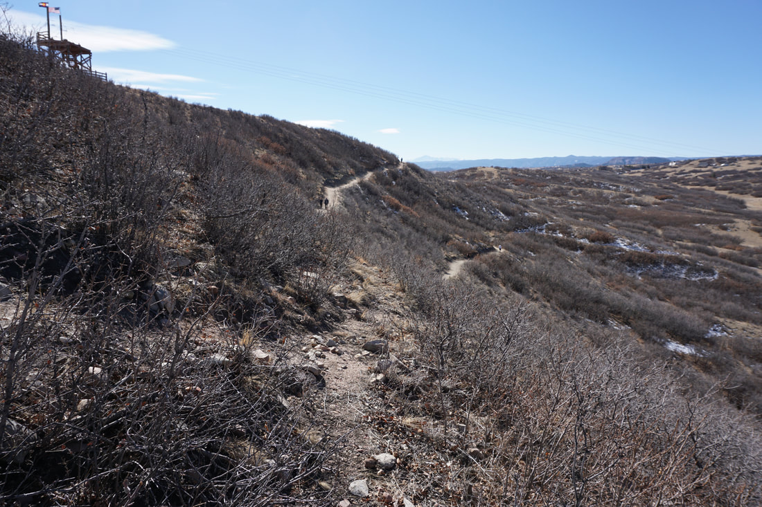
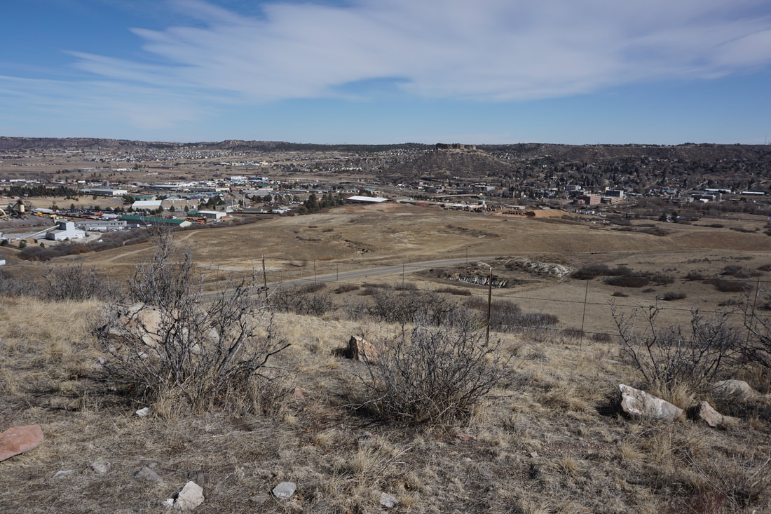
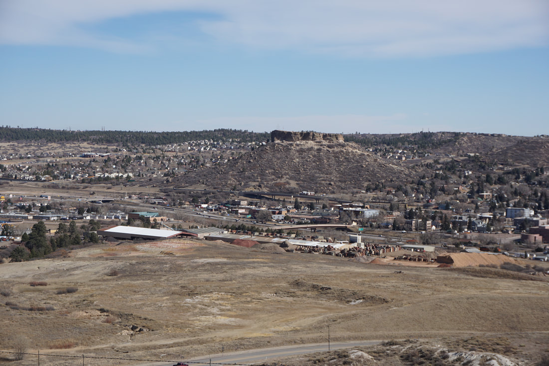
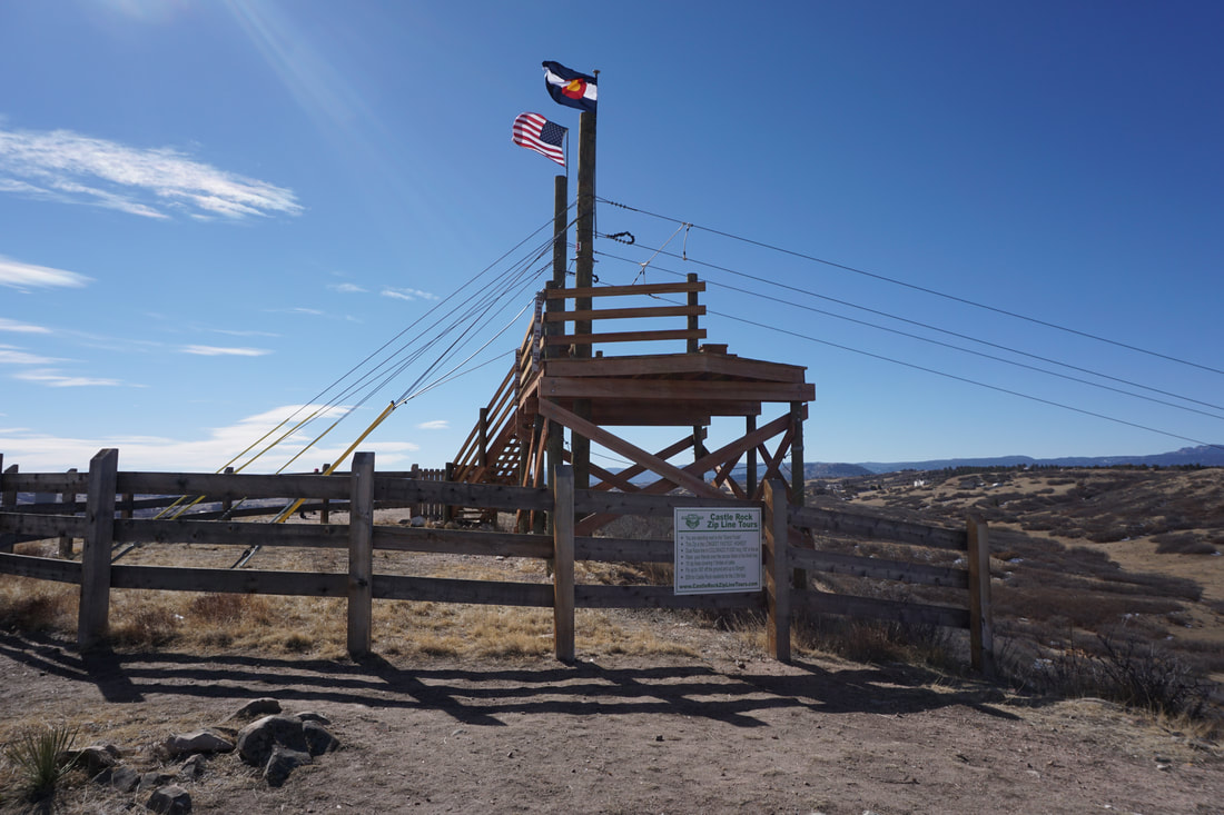
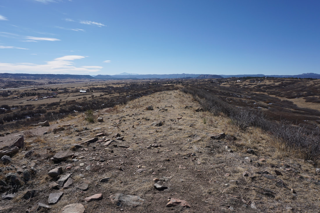
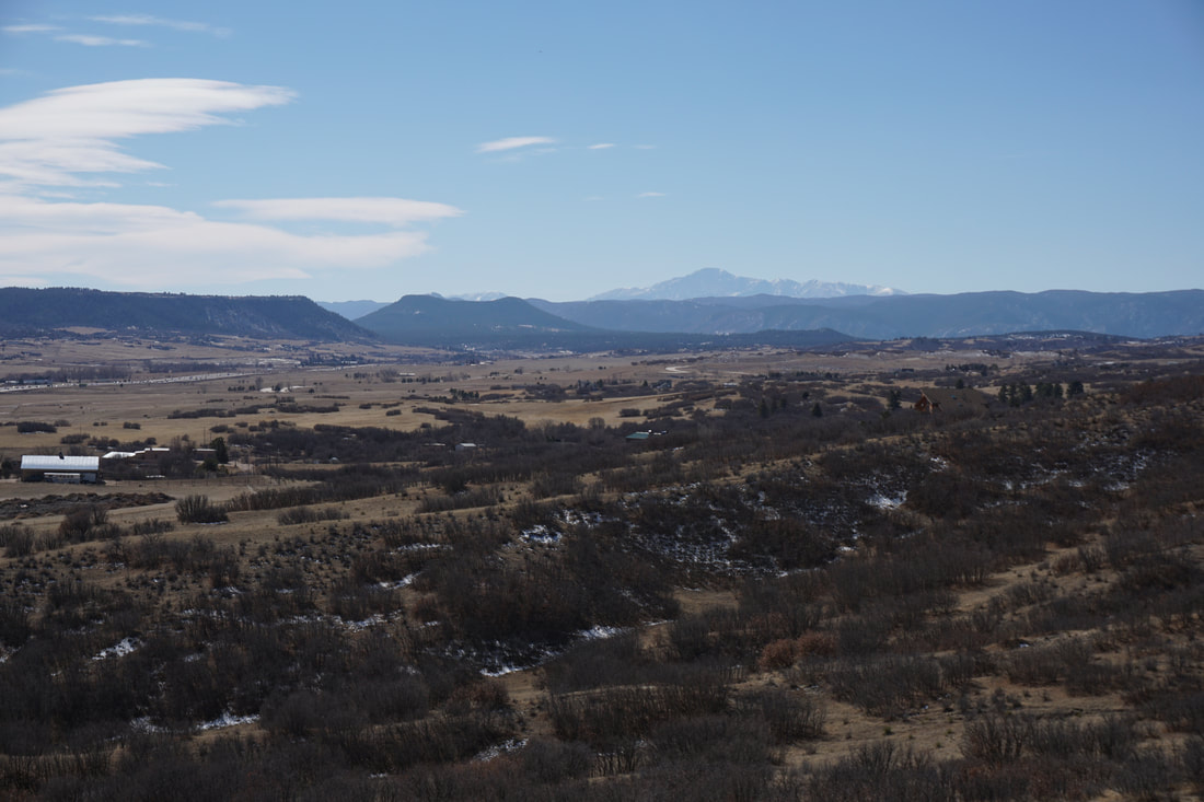
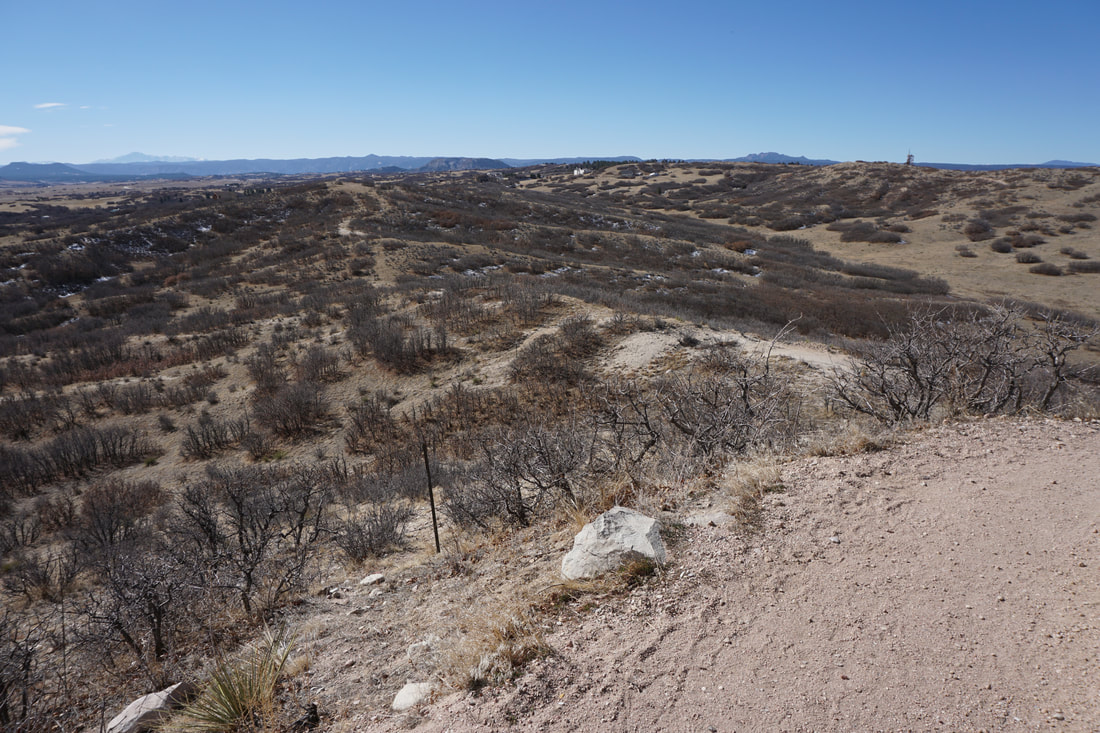
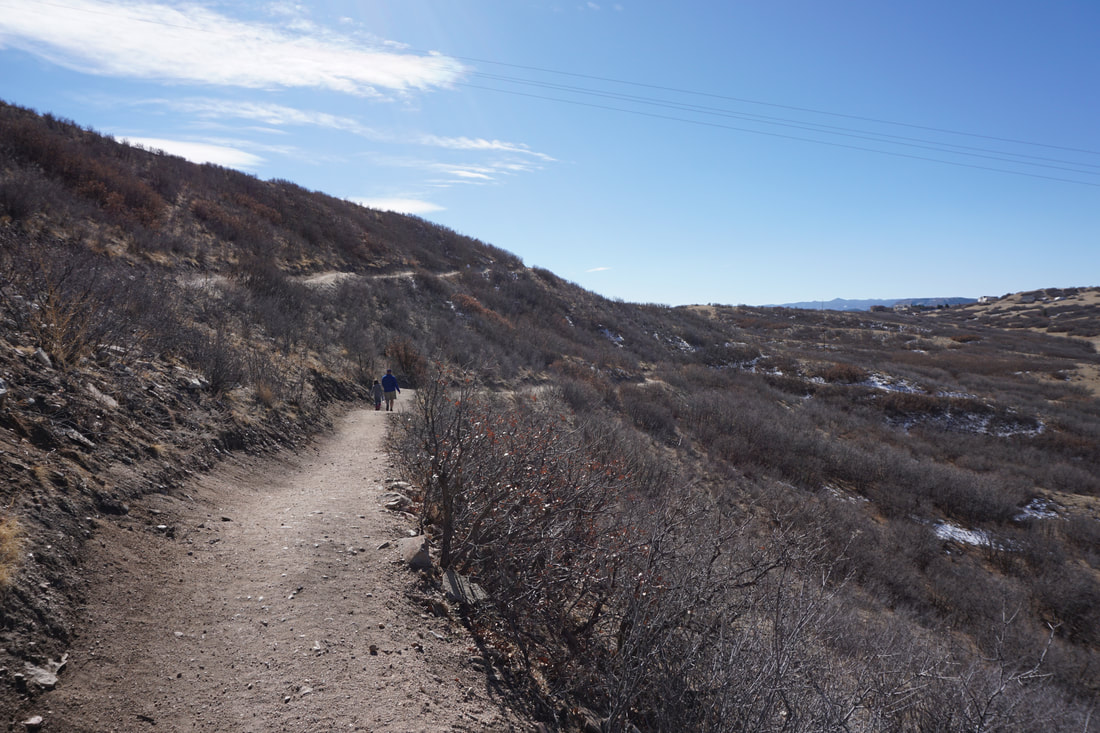
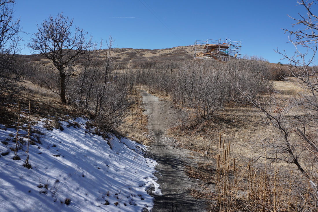
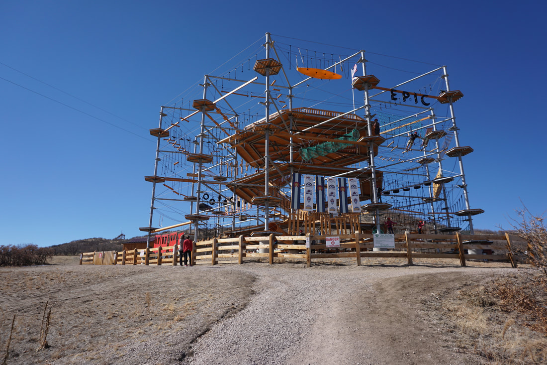
At the top of the incline, a natural surface hiking trail (the Blue Loop) continues along the ridge and begins to gently descend the south and west slopes of Challenger Hill.  The hike down is easy, well graded, and has great views south to Pike's Peak.  Once you reach the bottom, the trail splits leading back to the base of the incline, or south to access the other hiking loops in the park.  The park has an additional 10 miles of trails making up the Red, Green, Gold, and Purple Loops.  

For the kids, the ropes course, the awesome playground, and the zip-lines will add to their experience making the hiking part...tolerable...

All-in-in, this is a great community park and I look forward to exploring the longer trail loops...as the kids get older...  
© Go Hike Colorado, 2020.  All Rights Reserved. 
Use of photographs without prior authorization is
​strictly prohibited.


Contact us at:
[email protected]
Legal Disclaimer - Information provided on this site is based upon our own observations, always double check information with the appropriate land management agency before heading into the backcountry.  Backcountry travel is inherently dangerous, please take all proper precautions.  Go Hike Colorado is not responsible for injury or incident.