GO HIKE COLORADO
Get in Touch:
  • HOME
  • ABOUT
  • HIKES BY REGION
    • DENVER AREA >
      • Denver Mountain Parks
      • Jefferson County Open Space
      • Lakewood Parks
      • Denver Area Greenways
    • BOULDER AREA
    • DOUGLAS COUNTY
    • FORT COLLINS AREA
    • COLORADO SPRINGS AREA
    • FRONT RANGE
    • TENMILE & MOSQUITO RANGES
    • GORE RANGE
    • SANGRE DE CRISTO MOUNTAINS
    • PARK RANGE
    • SAWATCH RANGE
    • ELK MOUNTAINS
    • SAN JUAN MOUNTAINS
    • THE FLAT TOPS
    • GRAND MESA
    • COLORADO PLATEAU
    • EASTERN PLAINS
  • NATIONAL PARK HIKES
    • BENT'S OLD FORT NATIONAL HISTORIC SITE
    • BLACK CANYON OF THE GUNNISON NATIONAL PARK
    • COLORADO NATIONAL MONUMENT
    • CURECANTI NATIONAL RECREATION AREA
    • DINOSAUR NATIONAL MONUMENT
    • FLORISSANT FOSSIL BEDS NATIONAL MONUMENT
    • MESA VERDE NATIONAL PARK
    • ROCKY MOUNTAIN NATIONAL PARK
    • GREAT SAND DUNES NATIONAL PARK
    • HOVENWEEP NATIONAL MONUMENT
    • SAND CREEK MASSACRE NATIONAL HISTORIC SITE
    • YUCCA HOUSE NATIONAL MONUMENT
  • HIKES BY CATEGORY
    • HIKES TO ALPINE LAKES
    • HIKES TO PEAKS & PASSES
    • HIKES THROUGH CANYONS
    • HIKES WITH FALL COLORS
    • HIKES ALONG THE I-70 CORRIDOR
    • HIKES ON PAVED TRAILS
    • HIKES FOR KIDS
    • HIKES TO WATERFALLS
    • HIKES ALONG RIVERS
    • HIKES WITH ROCK FORMATIONS
    • HIKES WITH WILDFLOWERS
    • WINTER HIKES
  • NEWS
  • WEBCAMS
  • $UPPORT GHC
  • INTERACTIVE MAP

Ridgeline Open Space
Town of Castle Rock

Date Hiked: July 16, 2013
​
Distance: 1.9 mi (RT)
Elevation Gain: 300ft
Elevation Min/Max: 6,373 > 6,550ft
Managing Agency: Town of Castle Rock Parks & Open Space
Fee: None

Ridgeline Open Space Trail Map
Picture

Directions:  This hike start from the Avery Way trailhead.  Take the Wolfensberger Exit of I-25 and head west.  Make a right on Coachline Rd and a left on Foothills Drive.  Then make a left on Clear Sky Way and a right on Avery Way.  This is a neighborhood access so please respect the residences around the trailhead and be careful to park as close to the trailhead as possible.

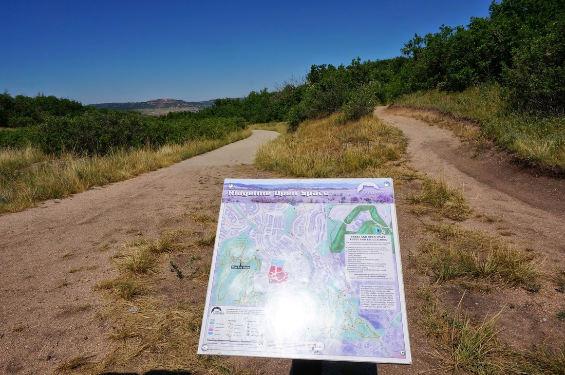
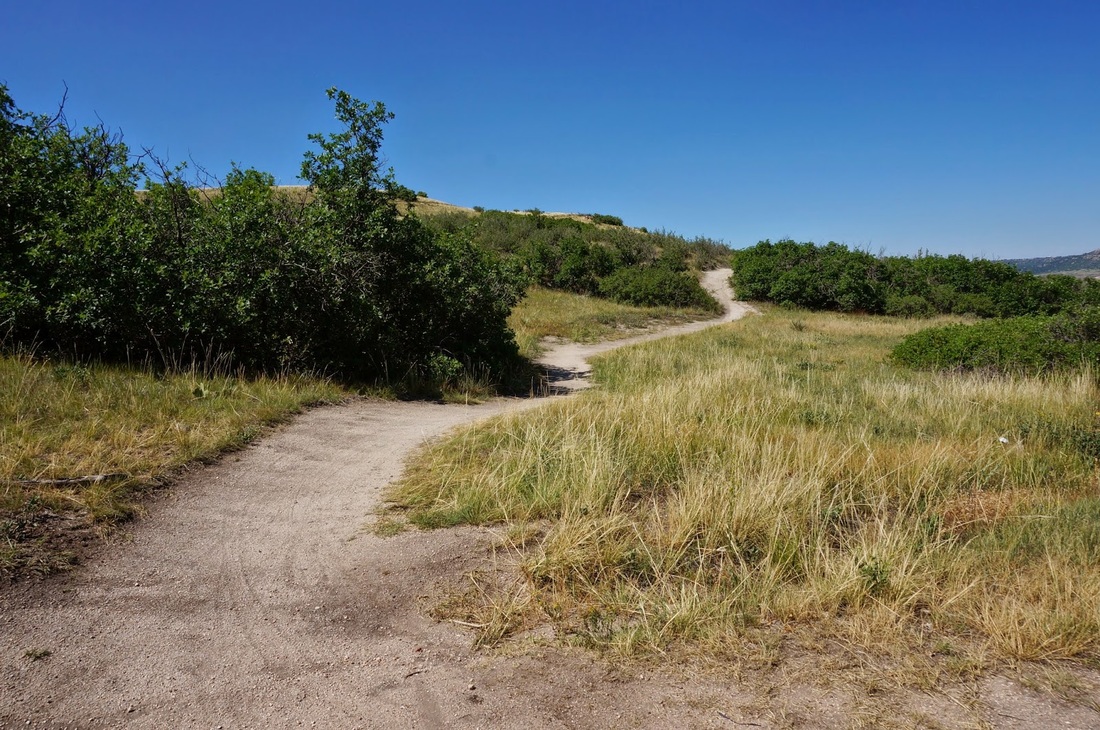
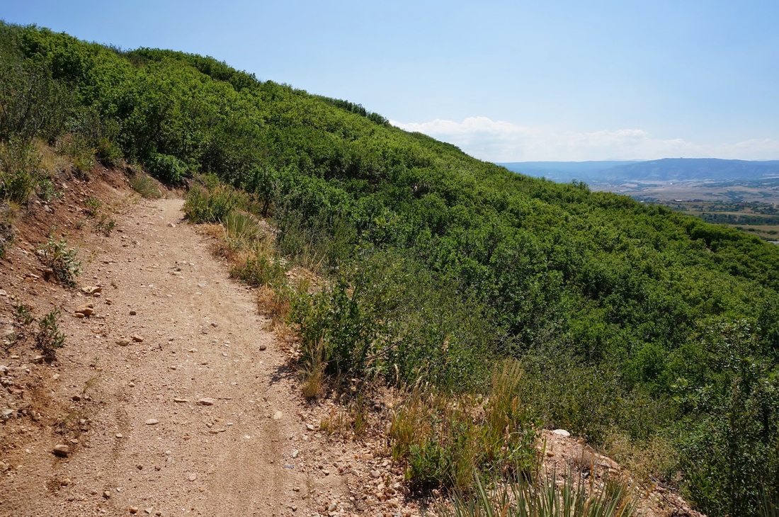
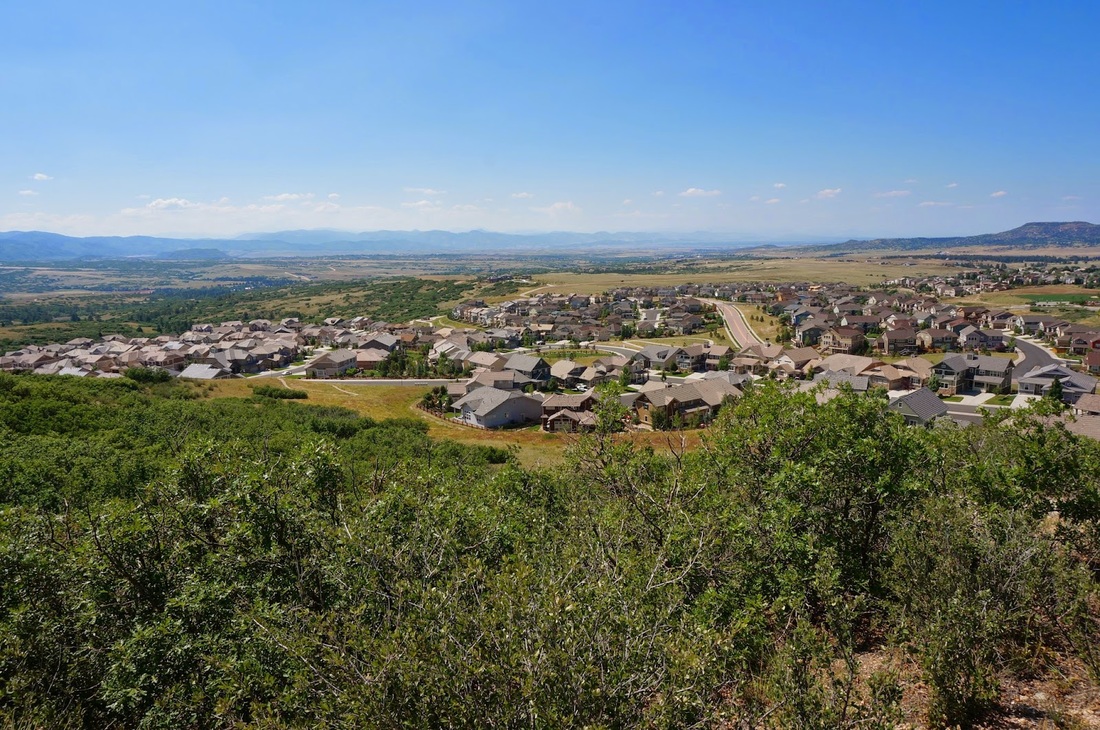
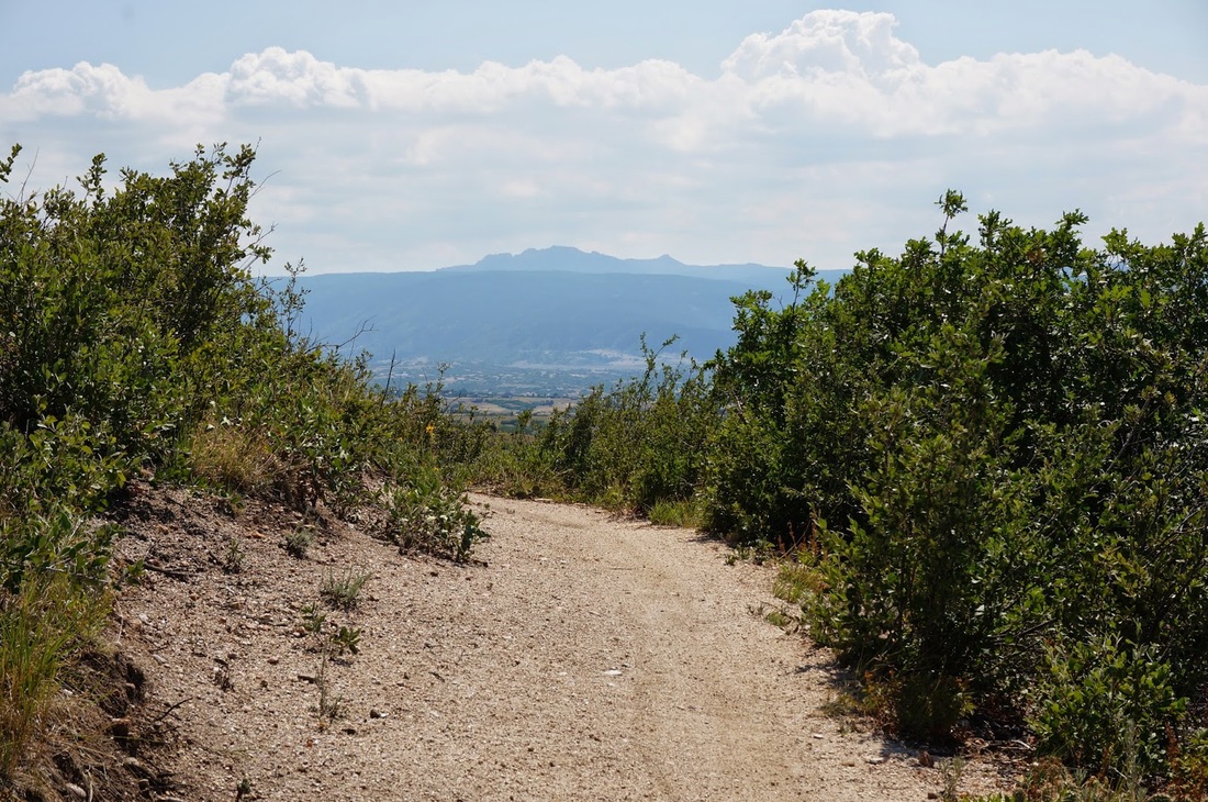
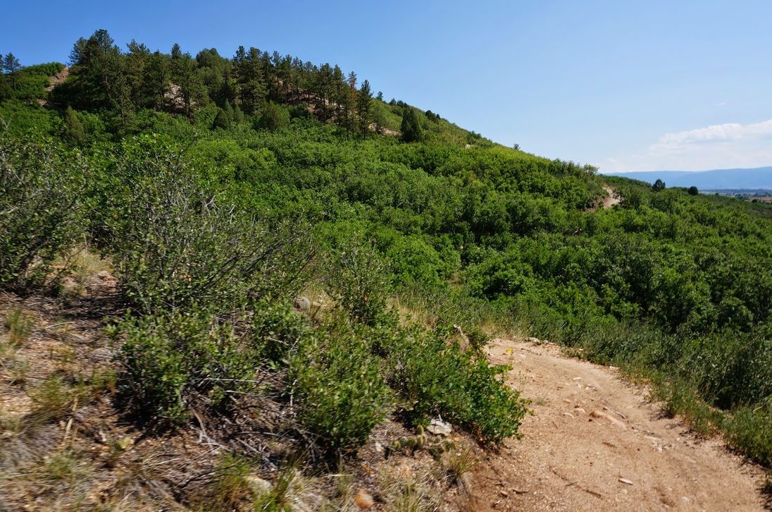
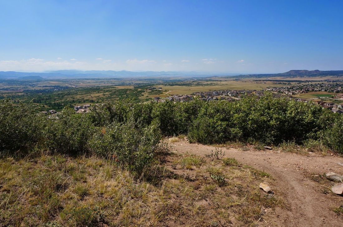
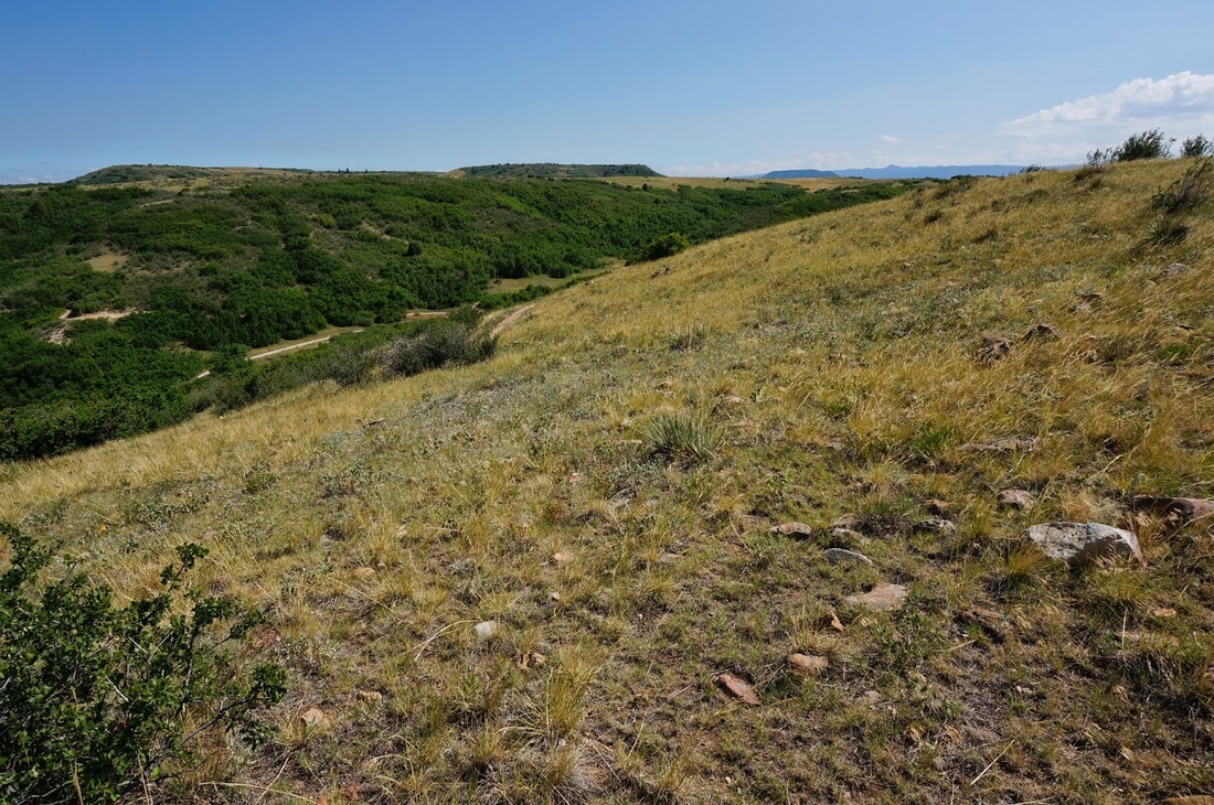
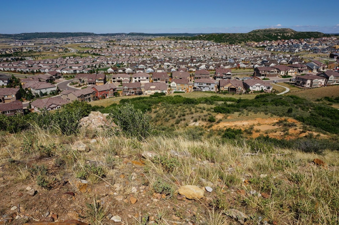
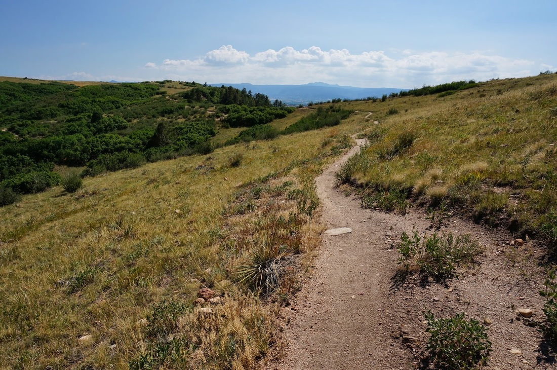
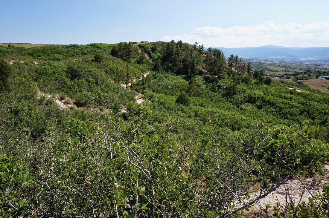
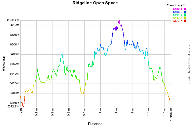
Ridgeline Open Space is a hiking or biking park in the middle of a subdivision of Caste Rock.  The park provides some nice scenery, great views of the front range, and many options. This hike is a short 1.9 miler but could be a much longer hike if you wish it to be.

From the trailhead proceed .2 miles along paved trail to a Ridgeline Open Space trail sign and map.  Turn right here and follow the trail along the side of a mesa meandering through scrub and manzanita trees.  After about 1.2 miles, you'll come to the top of the mesa.  There a great views here of the Castle Rock townsite as well as the front range foothills, including the Rampart Range and Pikes Peak if the weather holds. From here follow the trail and take the trail connector back to the sign and the paved path leading back to the trailhead.

This accounts for a very small portion of this park, there are many more areas to explore and all sorts of hiking options.
Powered by Create your own unique website with customizable templates.