GO HIKE COLORADO
Get in Touch:
  • HOME
  • ABOUT
  • HIKES BY REGION
    • DENVER AREA >
      • Denver Mountain Parks
      • Jefferson County Open Space
      • Lakewood Parks
      • Denver Area Greenways
    • BOULDER AREA
    • DOUGLAS COUNTY
    • FORT COLLINS AREA
    • COLORADO SPRINGS AREA
    • FRONT RANGE
    • TENMILE & MOSQUITO RANGES
    • GORE RANGE
    • SANGRE DE CRISTO MOUNTAINS
    • PARK RANGE
    • SAWATCH RANGE
    • ELK MOUNTAINS
    • SAN JUAN MOUNTAINS
    • THE FLAT TOPS
    • GRAND MESA
    • COLORADO PLATEAU
    • EASTERN PLAINS
  • NATIONAL PARK HIKES
    • BENT'S OLD FORT NATIONAL HISTORIC SITE
    • BLACK CANYON OF THE GUNNISON NATIONAL PARK
    • COLORADO NATIONAL MONUMENT
    • CURECANTI NATIONAL RECREATION AREA
    • DINOSAUR NATIONAL MONUMENT
    • FLORISSANT FOSSIL BEDS NATIONAL MONUMENT
    • MESA VERDE NATIONAL PARK
    • ROCKY MOUNTAIN NATIONAL PARK
    • GREAT SAND DUNES NATIONAL PARK
    • HOVENWEEP NATIONAL MONUMENT
    • SAND CREEK MASSACRE NATIONAL HISTORIC SITE
    • YUCCA HOUSE NATIONAL MONUMENT
  • HIKES BY CATEGORY
    • HIKES TO ALPINE LAKES
    • HIKES TO PEAKS & PASSES
    • HIKES THROUGH CANYONS
    • HIKES WITH FALL COLORS
    • HIKES ALONG THE I-70 CORRIDOR
    • HIKES ON PAVED TRAILS
    • HIKES FOR KIDS
    • HIKES TO WATERFALLS
    • HIKES ALONG RIVERS
    • HIKES WITH ROCK FORMATIONS
    • HIKES WITH WILDFLOWERS
    • WINTER HIKES
  • NEWS
  • WEBCAMS
  • $UPPORT GHC
  • INTERACTIVE MAP

John Emerson Summit Trail
Rock Park

Date Hiked: April 20, 2013

Distance: 1.5 mi (RT)
Elevation Gain: 400ft
Elevation Min/Max: 6,195 to 6,551ft
Managing Agency: Town of Castle Rock Parks & Open Space
Fee: None

Rock Park Website & Map
Picture

Directions:  From Denver take I-25 S to Castle Rock, exit the Wolfensberger/Wilcox exit and head east on Wilcox.  Make a left of 5th Street and another left onto Front Street.  The trailhead and parking are will be on your right... or... just look for the big rock in the middle of town and head for the base...

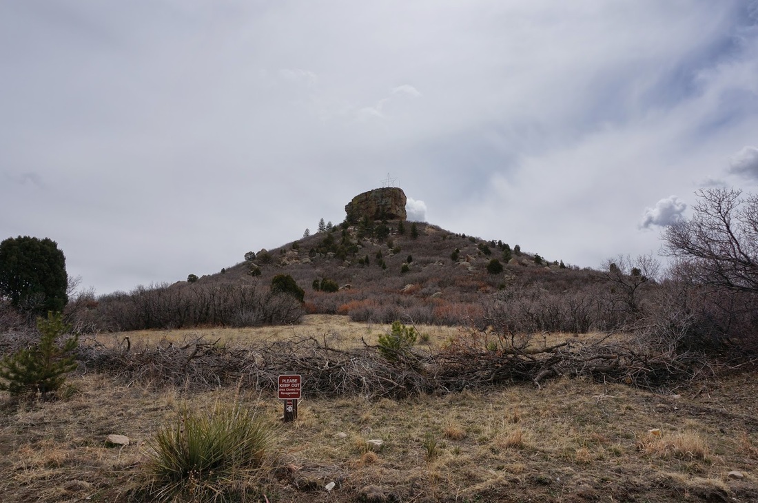
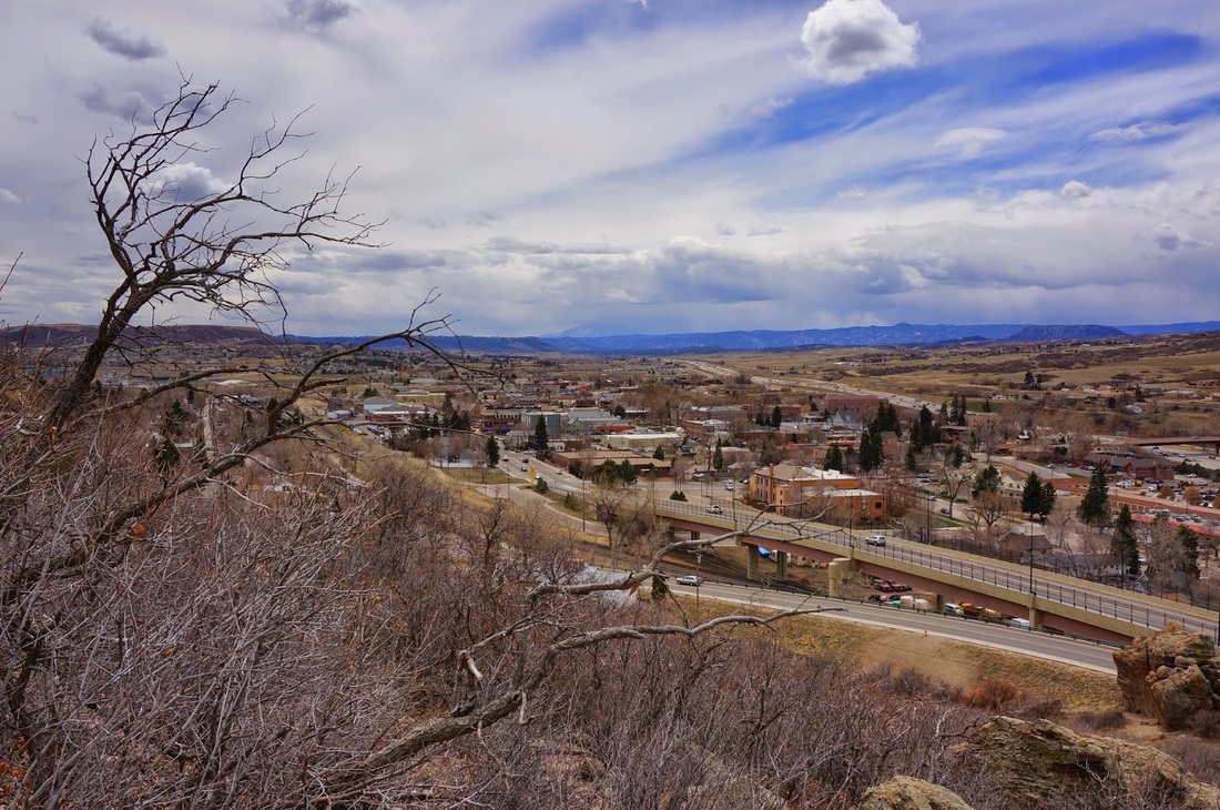
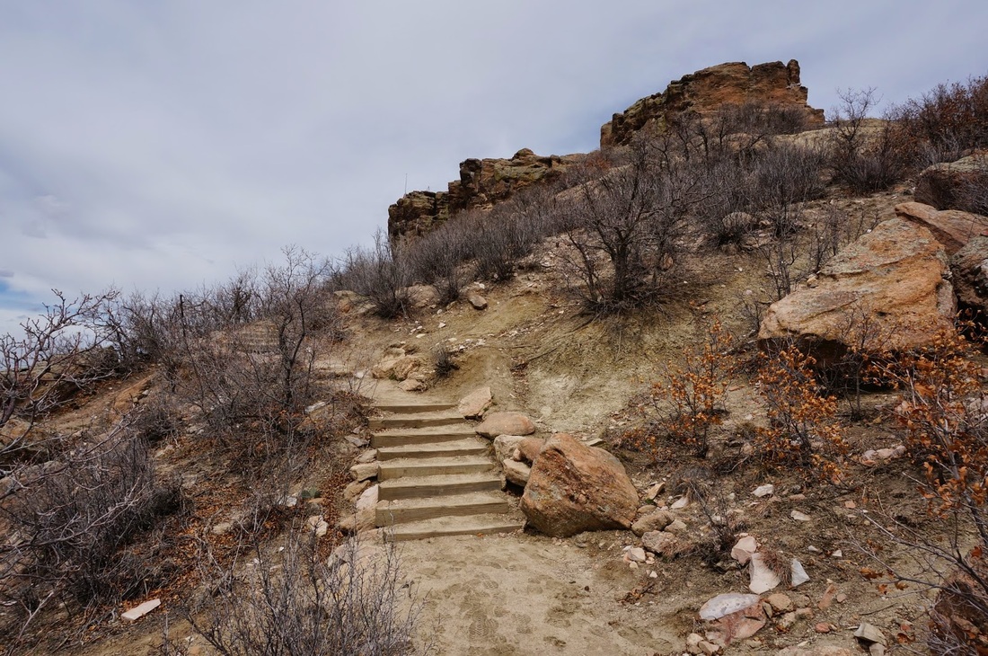
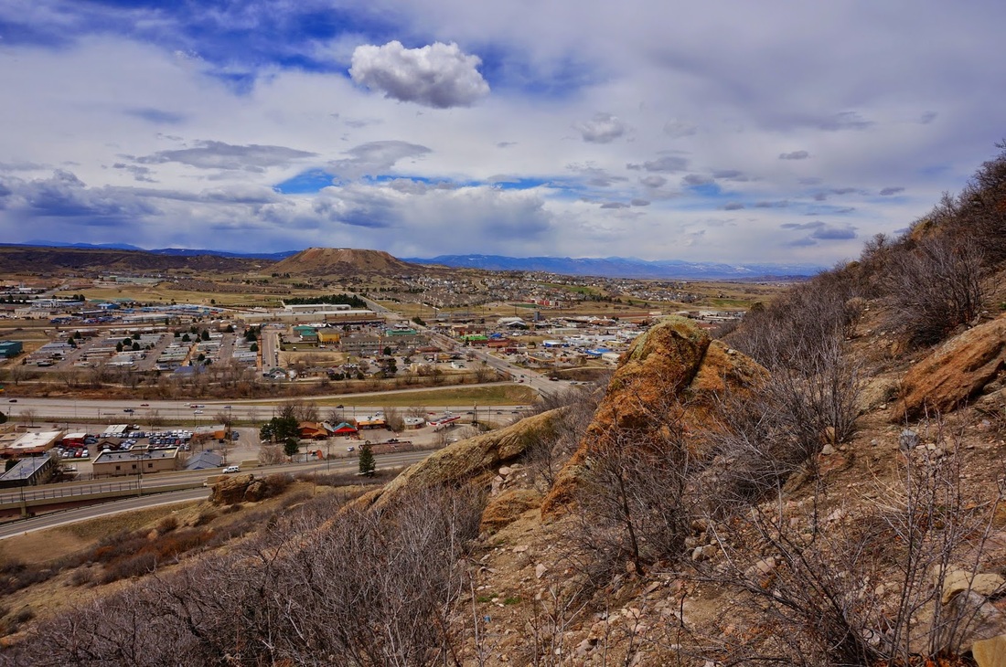
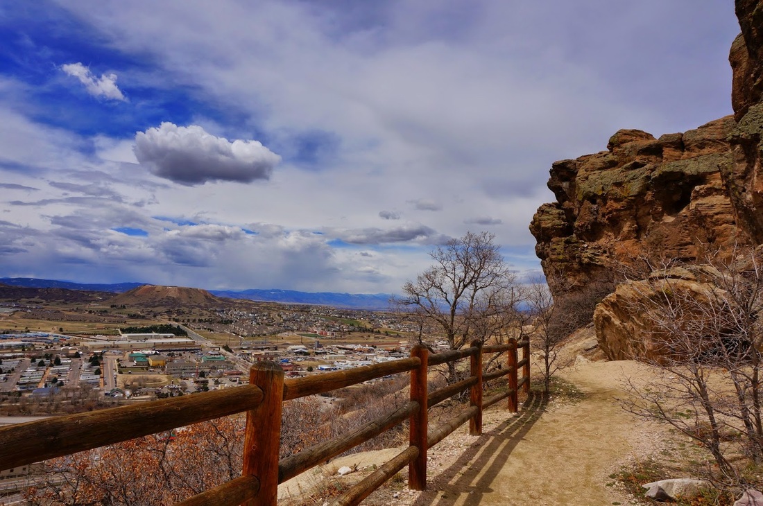
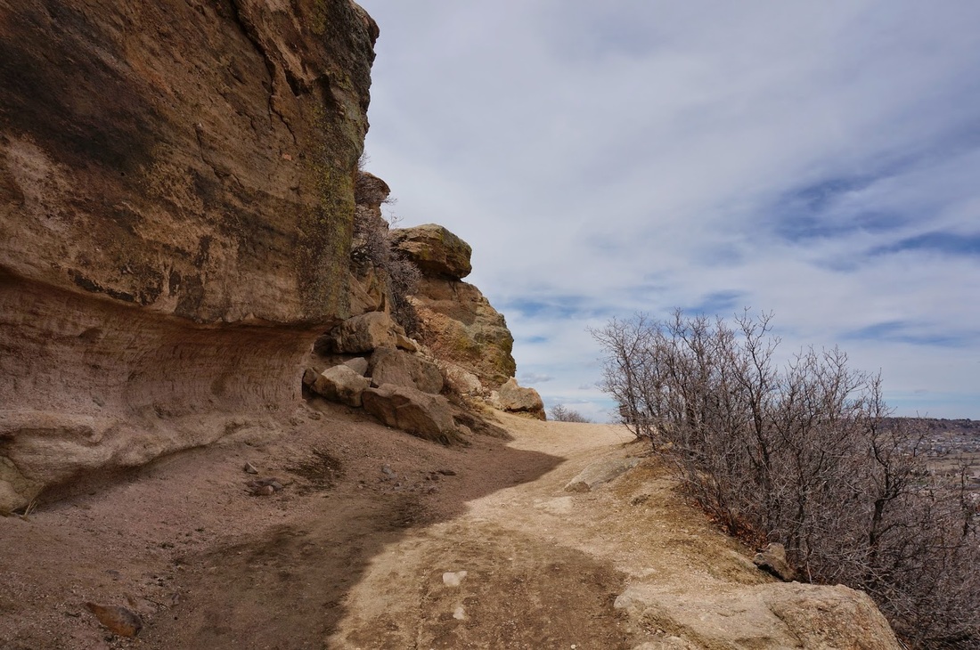
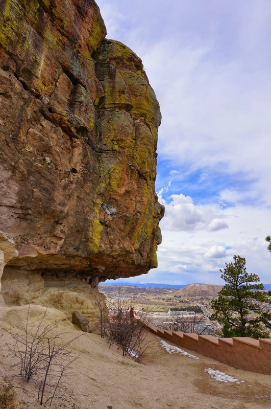
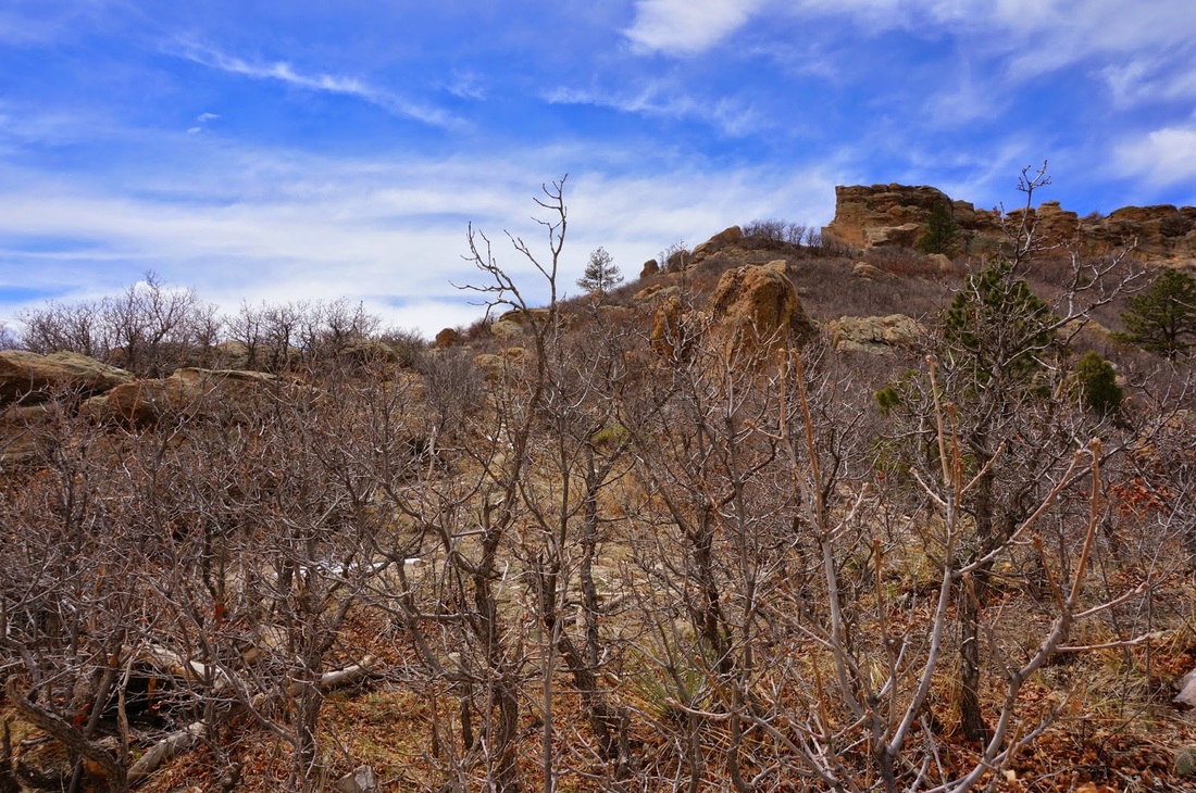
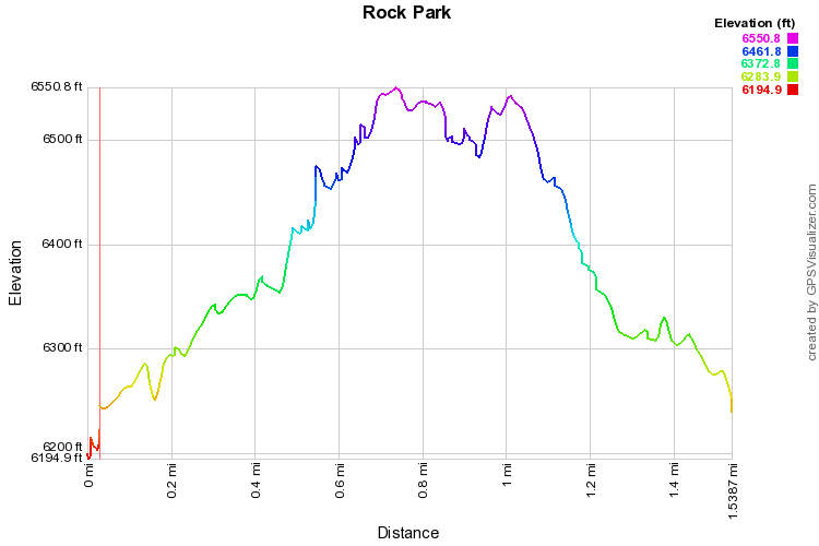
This short, popular hike take you up to the base of the large rock thingy that looks like a castle...hmmm...I wonder if that's why they call this town Castle Rock...hmmm.....

The hike will gently ascend up the side of Castle Rock and put out onto the top of the mesa with the Rock.  There is no trail up to the top of the rock, just to the top of the mesa.  From there you can walk all the way around the rock, which is impressive up close.  Follow the trail on the opposite side of the rock and it will loop you back to the parking lot.  This is a great hike for kids as they will love being up close to the enormous rock face.
Powered by Create your own unique website with customizable templates.