GO HIKE COLORADO
Get in Touch:
  • HOME
  • ABOUT
  • HIKES BY REGION
    • DENVER AREA >
      • Denver Mountain Parks
      • Jefferson County Open Space
      • Lakewood Parks
      • Denver Area Greenways
    • BOULDER AREA
    • DOUGLAS COUNTY
    • FORT COLLINS AREA
    • COLORADO SPRINGS AREA
    • FRONT RANGE
    • TENMILE & MOSQUITO RANGES
    • GORE RANGE
    • SANGRE DE CRISTO MOUNTAINS
    • PARK RANGE
    • SAWATCH RANGE
    • ELK MOUNTAINS
    • SAN JUAN MOUNTAINS
    • THE FLAT TOPS
    • GRAND MESA
    • COLORADO PLATEAU
    • EASTERN PLAINS
  • NATIONAL PARK HIKES
    • BENT'S OLD FORT NATIONAL HISTORIC SITE
    • BLACK CANYON OF THE GUNNISON NATIONAL PARK
    • COLORADO NATIONAL MONUMENT
    • CURECANTI NATIONAL RECREATION AREA
    • DINOSAUR NATIONAL MONUMENT
    • FLORISSANT FOSSIL BEDS NATIONAL MONUMENT
    • MESA VERDE NATIONAL PARK
    • ROCKY MOUNTAIN NATIONAL PARK
    • GREAT SAND DUNES NATIONAL PARK
    • HOVENWEEP NATIONAL MONUMENT
    • SAND CREEK MASSACRE NATIONAL HISTORIC SITE
    • YUCCA HOUSE NATIONAL MONUMENT
  • HIKES BY CATEGORY
    • HIKES TO ALPINE LAKES
    • HIKES TO PEAKS & PASSES
    • HIKES THROUGH CANYONS
    • HIKES WITH FALL COLORS
    • HIKES ALONG THE I-70 CORRIDOR
    • HIKES ON PAVED TRAILS
    • HIKES FOR KIDS
    • HIKES TO WATERFALLS
    • HIKES ALONG RIVERS
    • HIKES WITH ROCK FORMATIONS
    • HIKES WITH WILDFLOWERS
    • WINTER HIKES
  • NEWS
  • WEBCAMS
  • $UPPORT GHC
  • INTERACTIVE MAP

Canyon View/Inner Canyon Loop
Castlewood Canyon State Park

Date Hiked: October 11, 2014

Distance: 3.1 mi (RT)
Elevation Gain: 440 ft
Elevation Min/Max: 6,397 to 6,622 ft
Trailhead Lat/Long: 39º 19' 48" N; 104º 44' 15" W
Managing Agency: CO Div. of Parks & Wildlife
Fee: Yes

Castlewood Canyon Official Trail Map
Picture

Directions: Directions:  From Castle Rock, head east on Founders Parkway (86).  At the intersection with 5th Street, turn left (east) following 86.  Take 86 to Franktown and turn right (west) on 83.  Follow signs to the park.  After you pass the entrance station turn right into the overlook parking area and start out on the paved overlook trail.

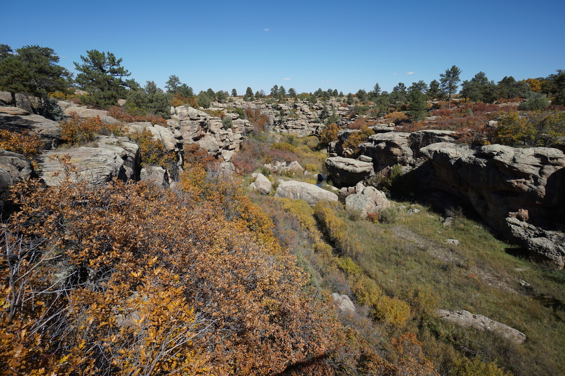
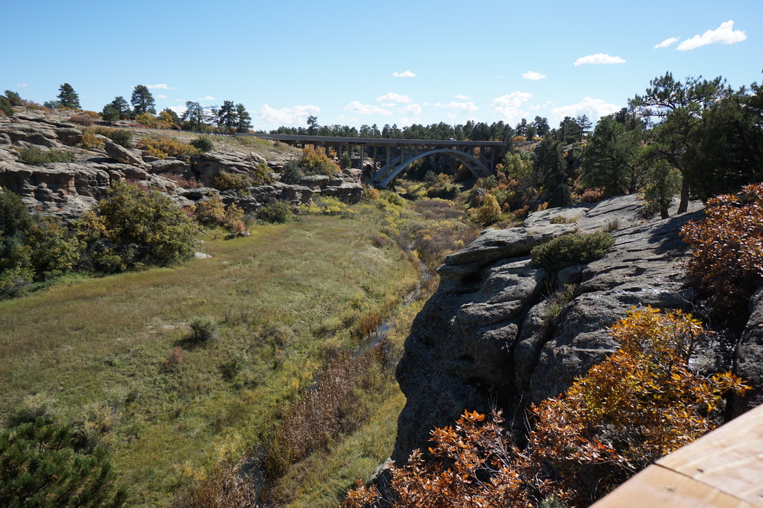
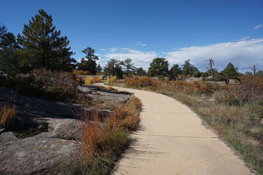
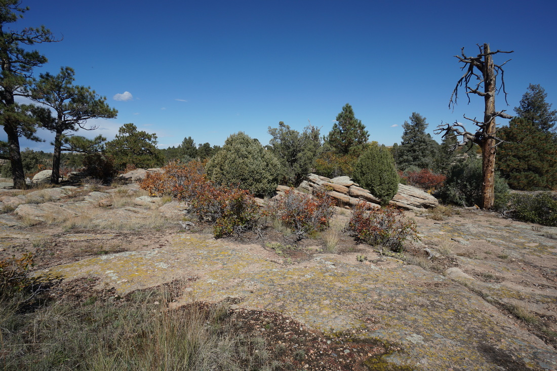
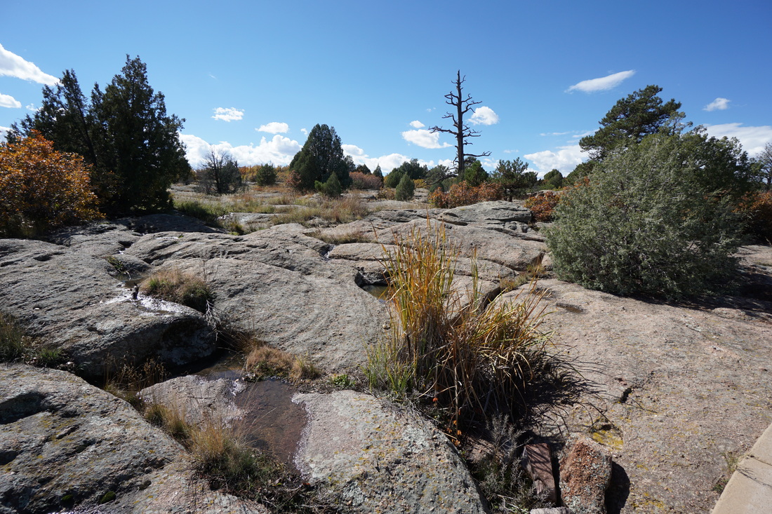
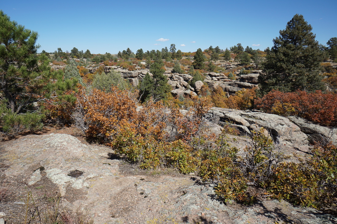
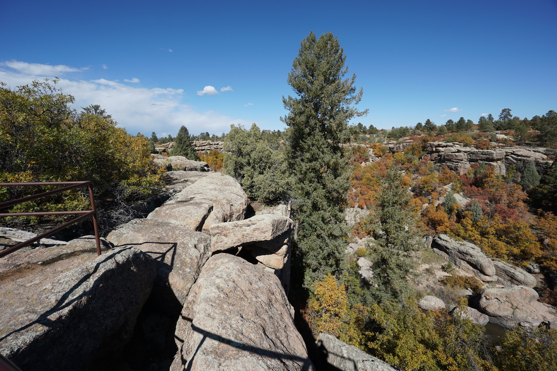
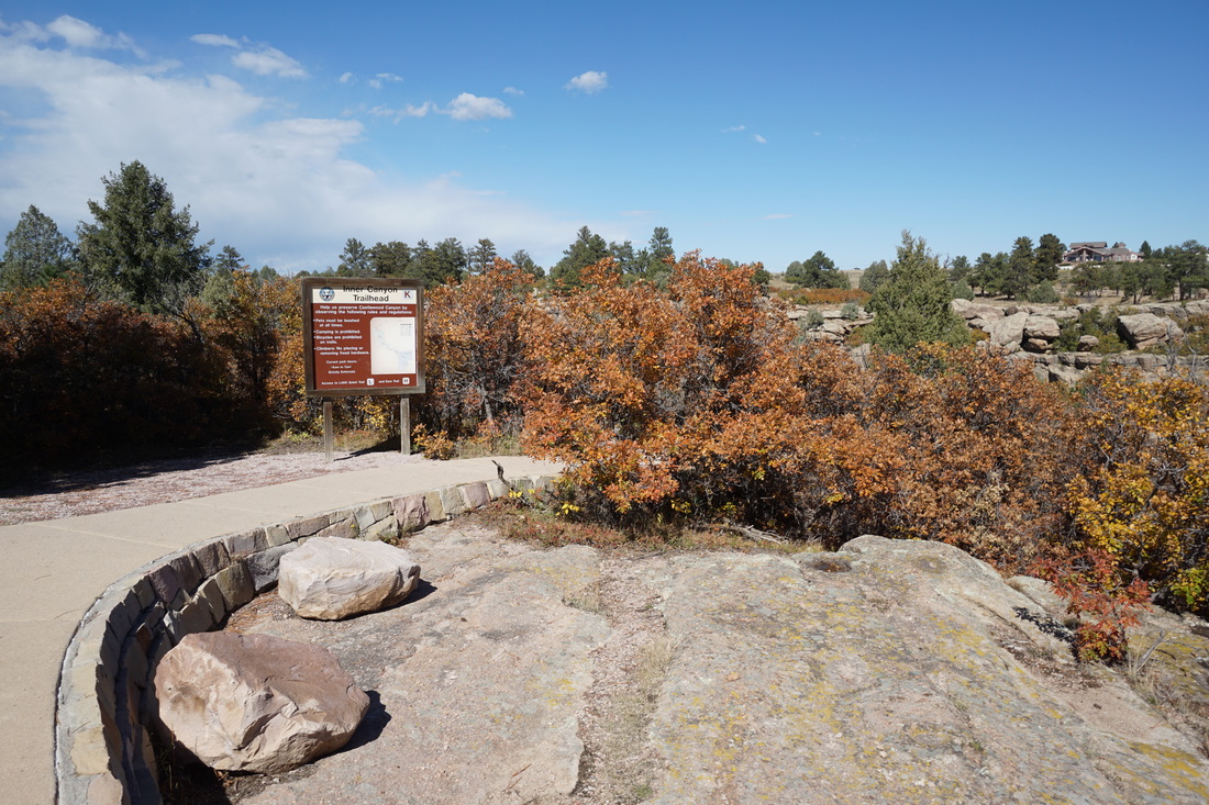
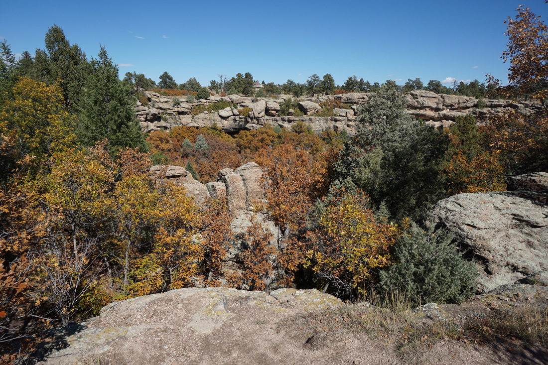
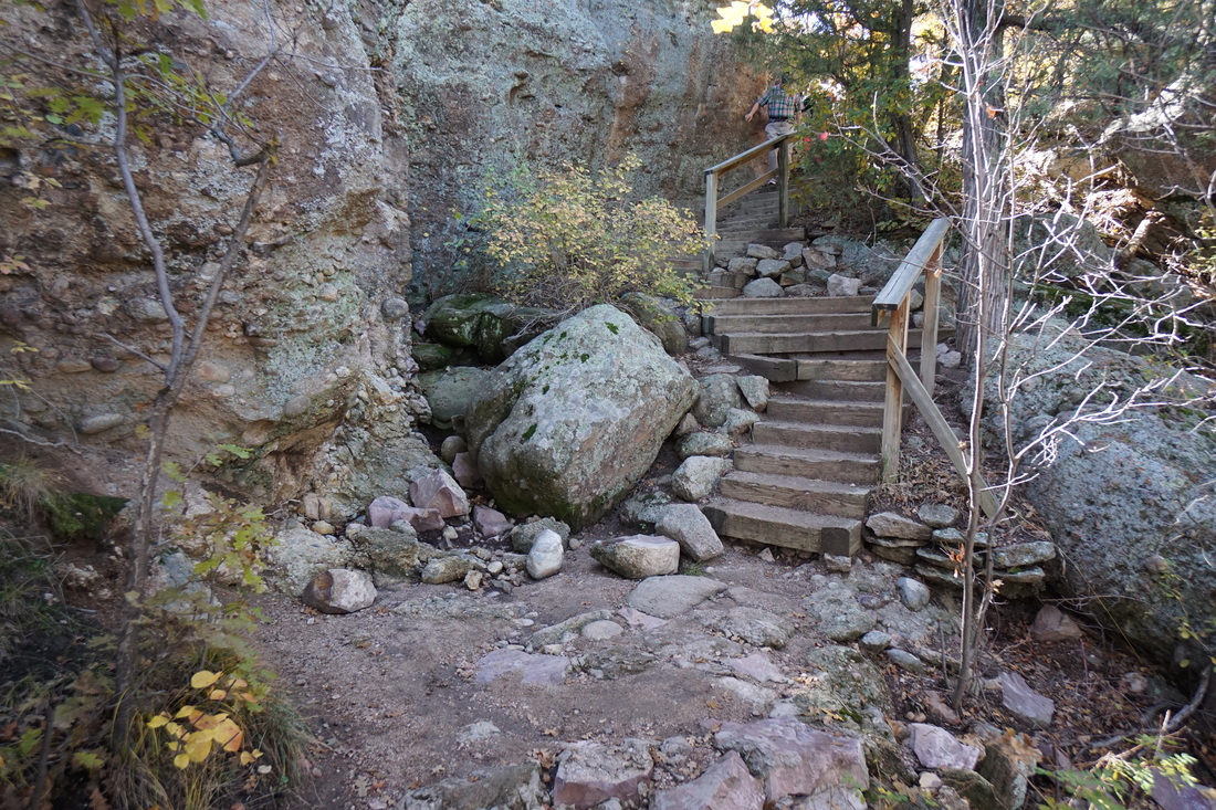
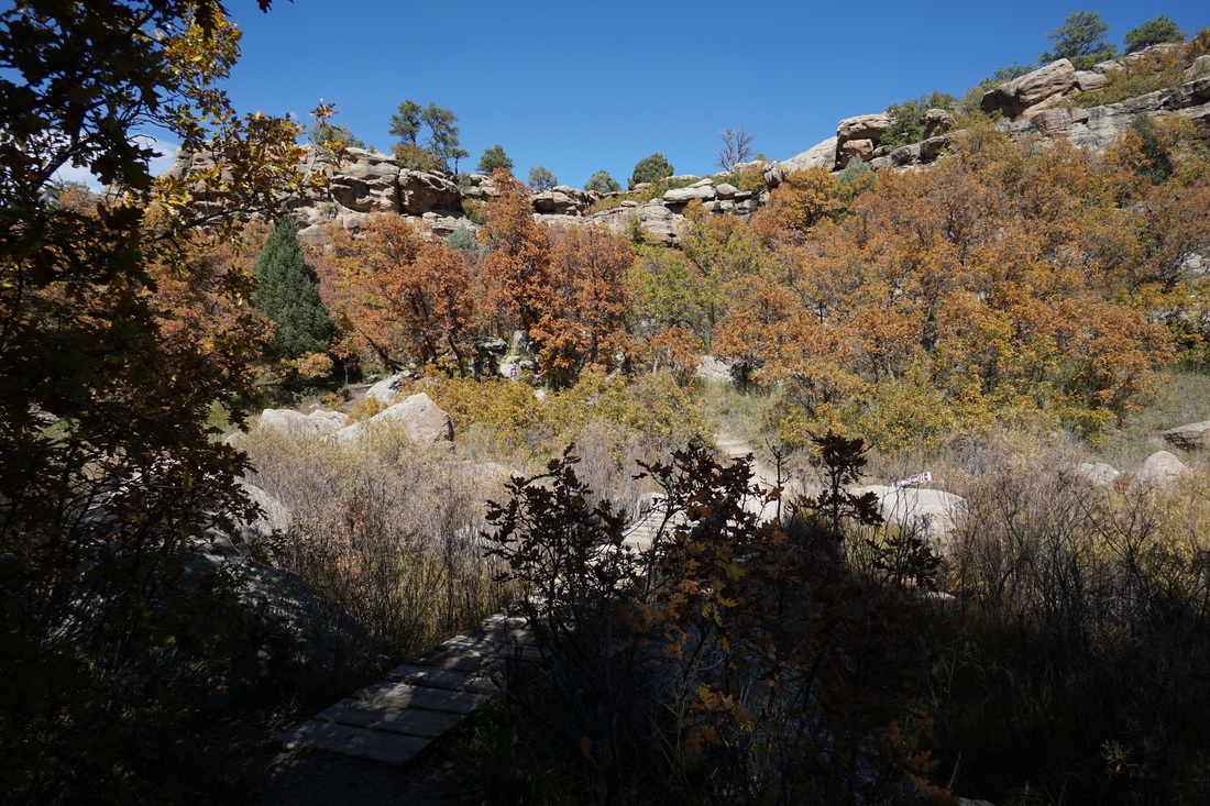
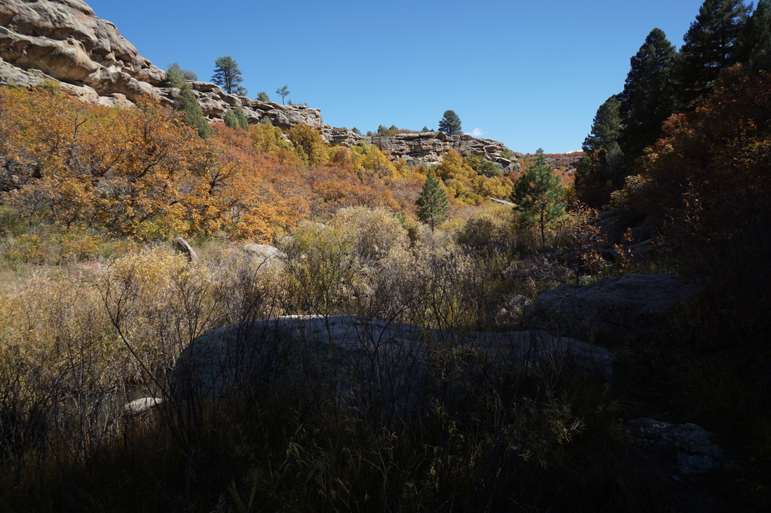
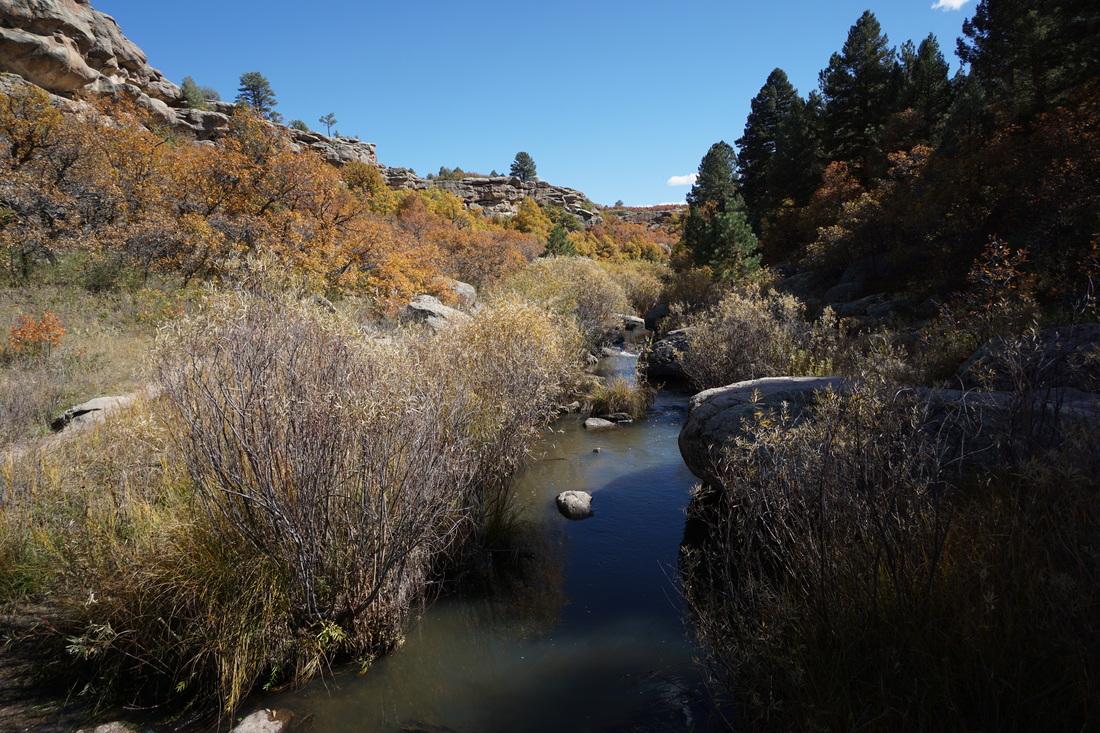
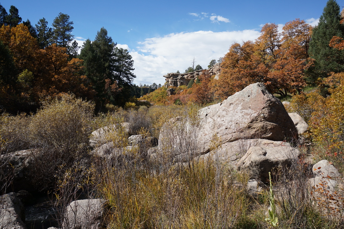
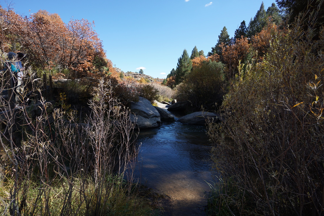
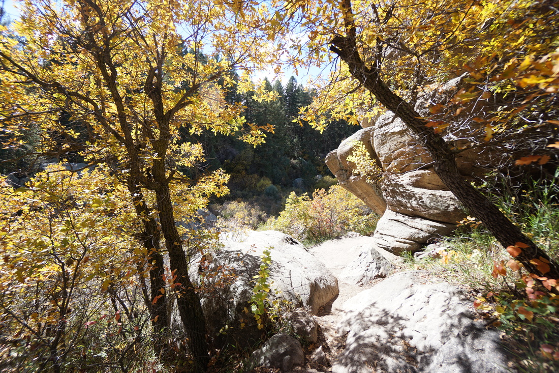
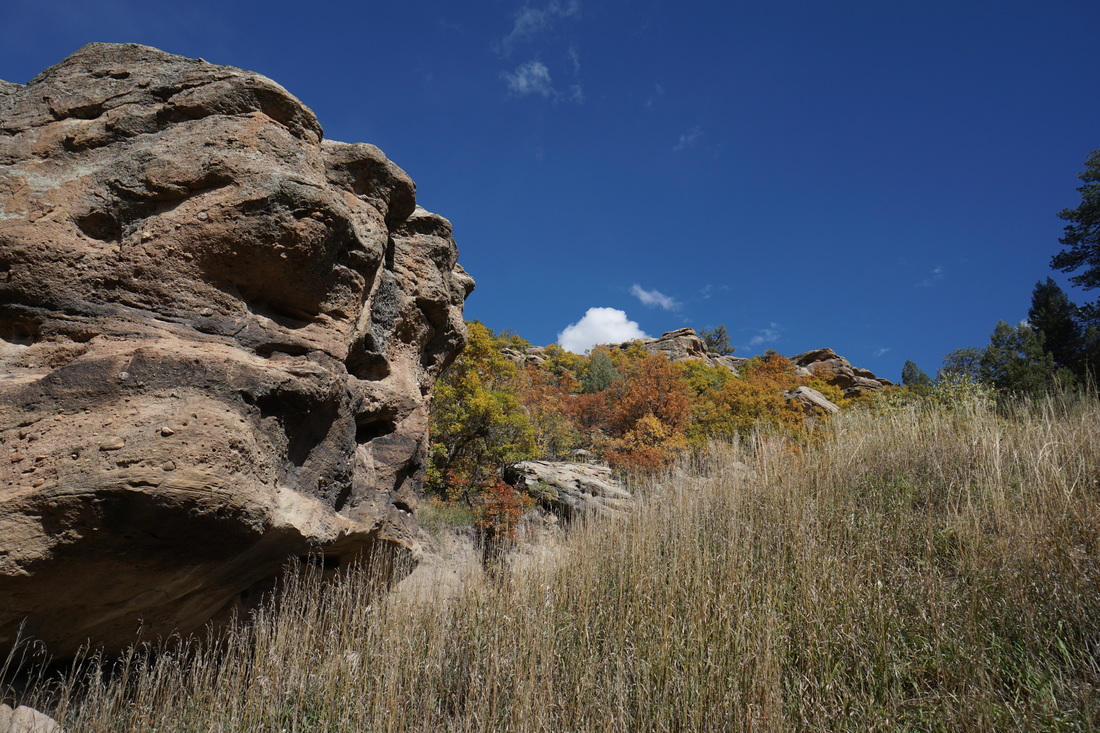
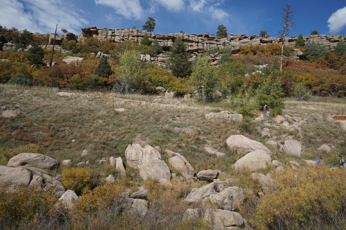
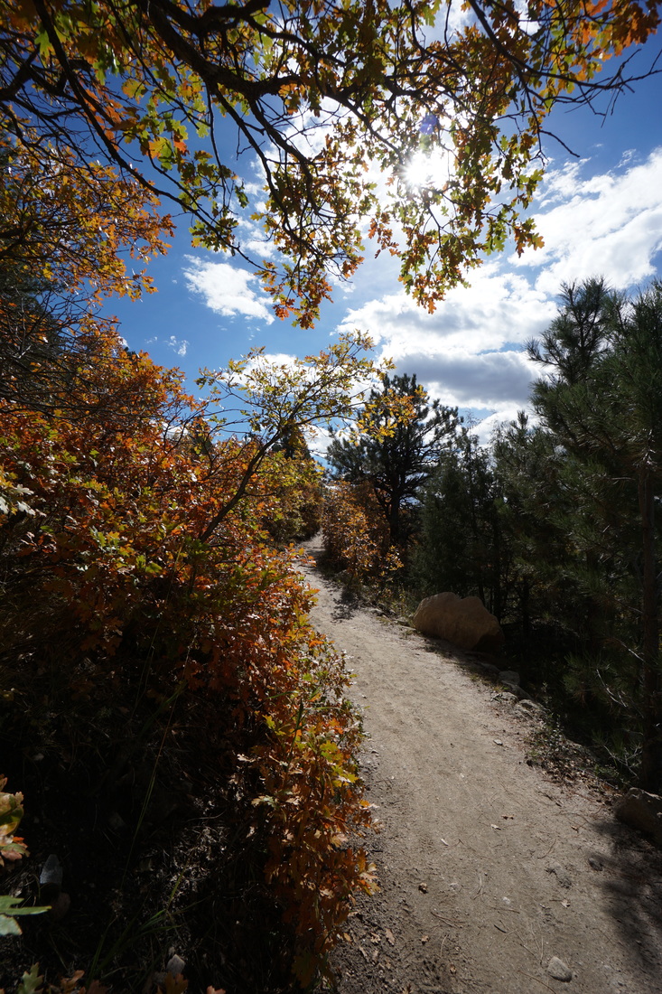
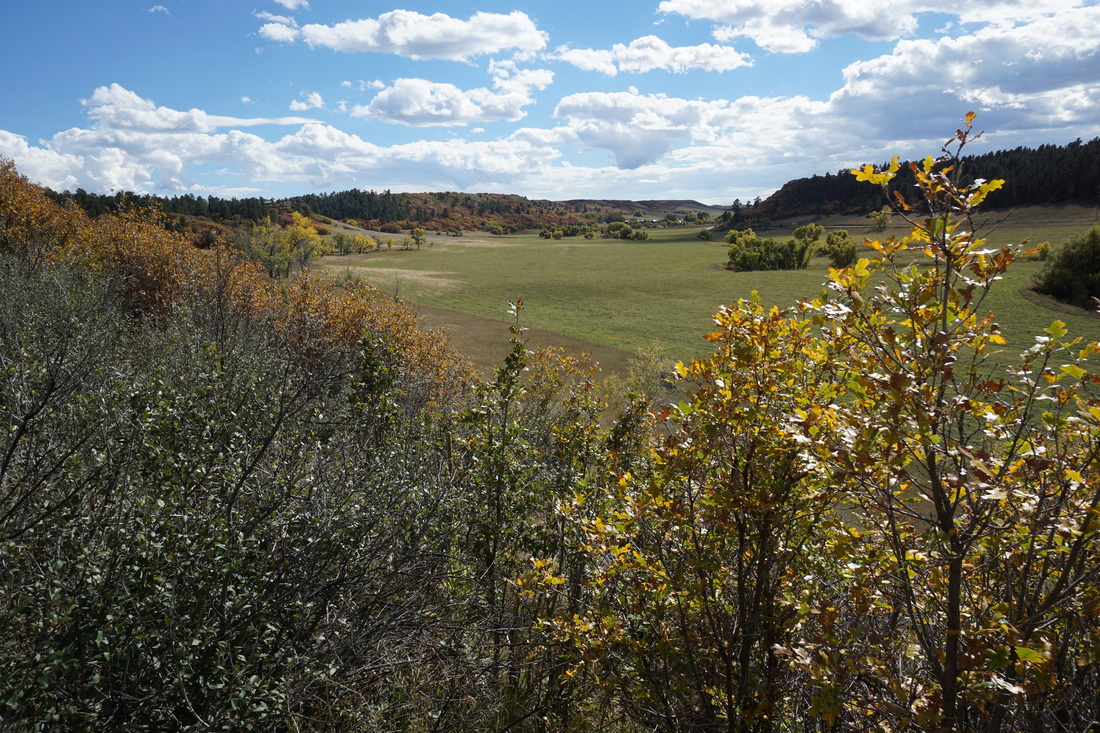
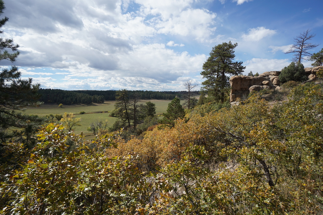
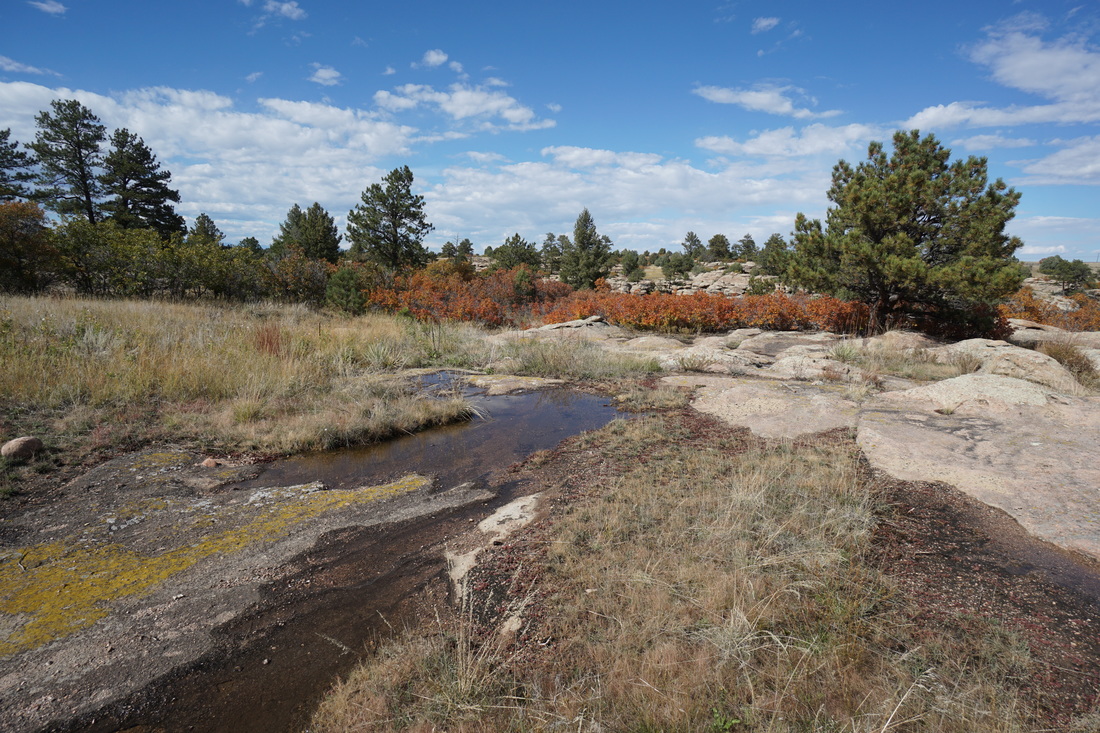
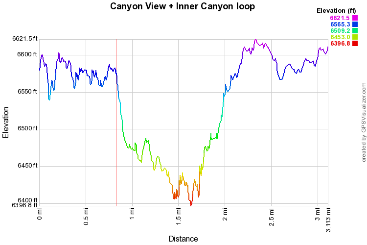
The Canyon View nature trail is an easy, paved, trail that starts from the parking lot adjacent to the Visitor Center and leads to a breathtaking canyon view point and along the ridge with various viewpoints along the way.  The nature trail gains almost no elevation making it possibly the easiest trail in the park with great views as well.
If you want to add some distance and dip down into the canyon, you can connect to the Inner Canyon trail and follow the steps down to the canyon floor.  Once at the bottom of the canyon, cross the creek and follow the canyon floor through oak brush, amazing in the fall…

After a little over a mile, the canyon will open up.  At the trail junction, cross the creek again and pick up the Lake Gulch Trail.  Over .8 miles, the Lake Gulch Trail climbs back up to the rim of the canyon, with great views of Pike’s Peak, and connects to the paved trail that leads back to the parking area. 
​
It cannot be stressed enough that Castlewood Canyon is spectacular in early-mid October when the oak trees are glowing yellow, orange, and red.  This trail is an easy way to experience this incredible environment.
© Go Hike Colorado, 2020.  All Rights Reserved. 
Use of photographs without prior authorization is
​strictly prohibited.


Contact us at:
[email protected]
Legal Disclaimer - Information provided on this site is based upon our own observations, always double check information with the appropriate land management agency before heading into the backcountry.  Backcountry travel is inherently dangerous, please take all proper precautions.  Go Hike Colorado is not responsible for injury or incident.