|
DIRECTIONS: Enter Chatfield State Park from the main entrance off of Wadsworth Blvd on the west side of the park. After you pass through the entrance station, turn right and follow the park road south and as the road veers east look for the Platte River Trailhead on the right.
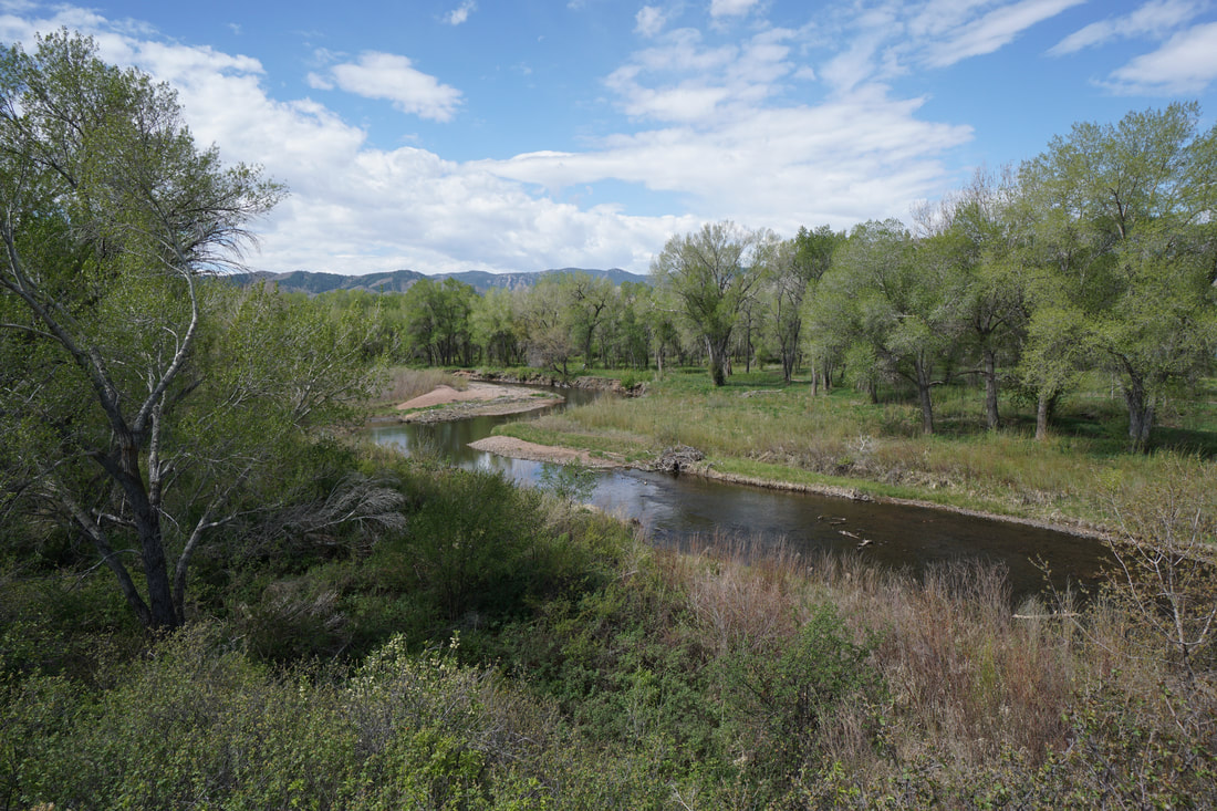
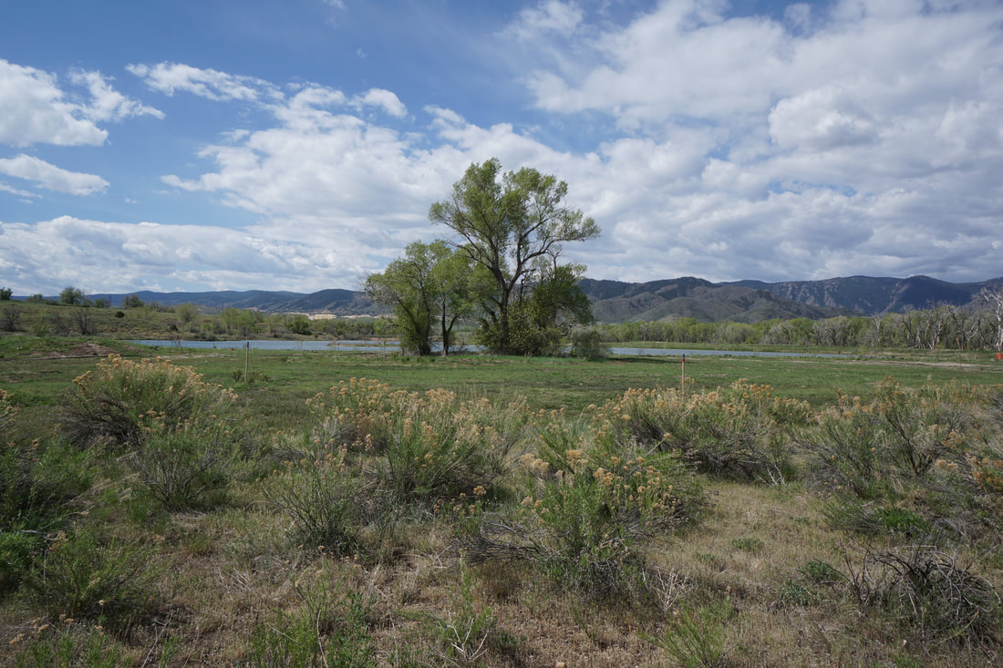
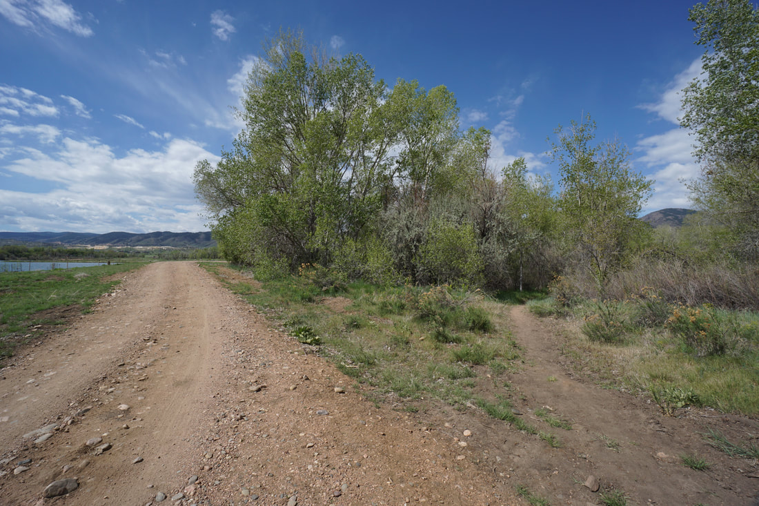
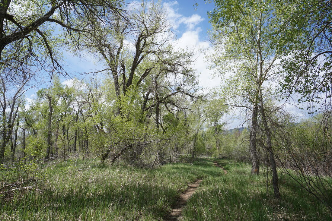
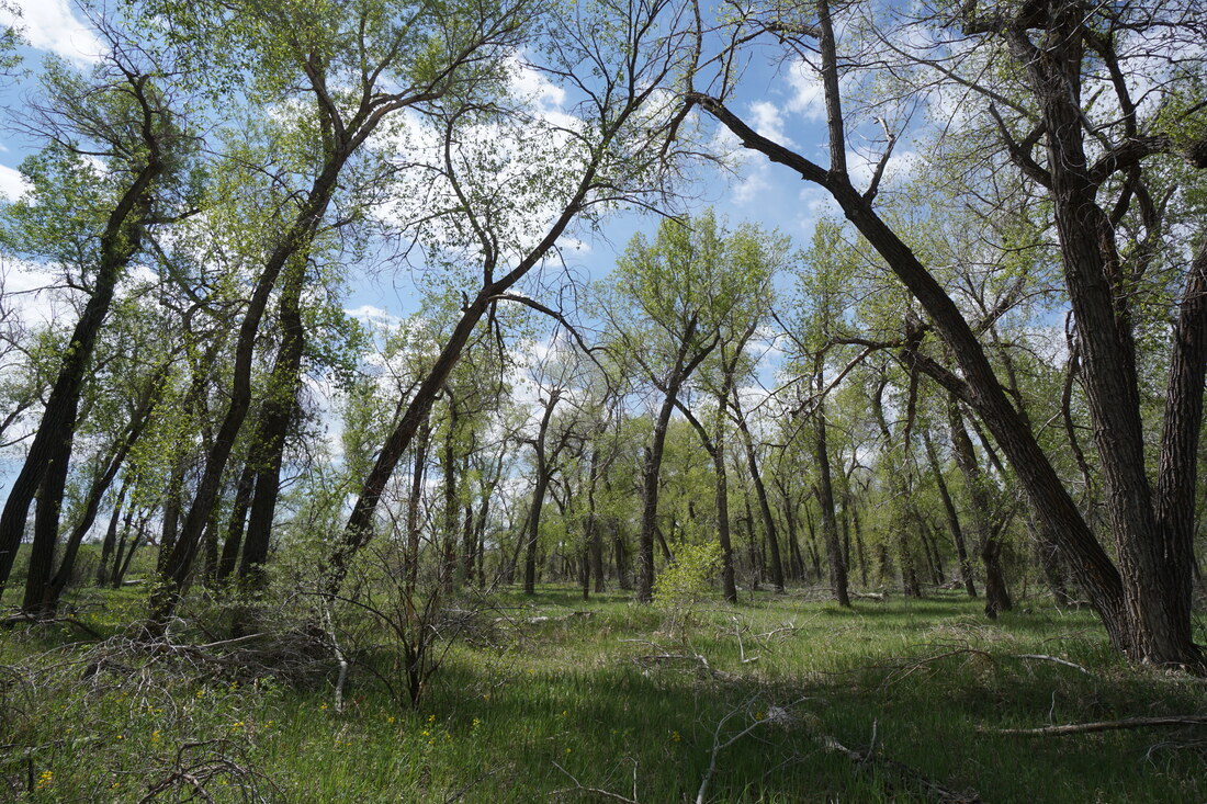
The Platte River Trail at Chatfield State Park is a wonderful hike in any season. The freshly green cottonwoods in the spring and the gold and yellow trees of mid-October are especially wonderful. There are a few options for how to hike this trail. The actual Platte River Trail is a dirt road (sometimes used by the park for administrative purposes) however, there are social trails, side trails, and a trail system through the Experimental Access Area that does not exist on the park maps for more interesting options. This description utilizing both options to form a nice partial loop hike.
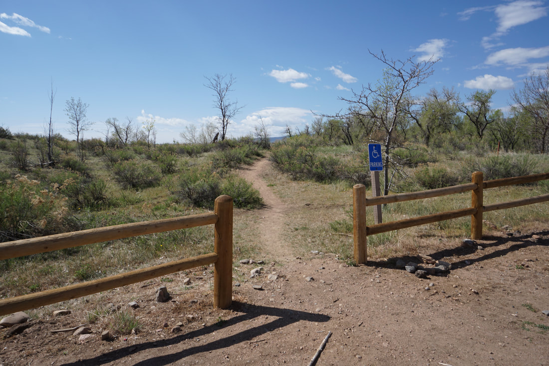
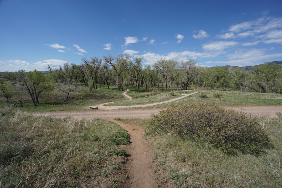
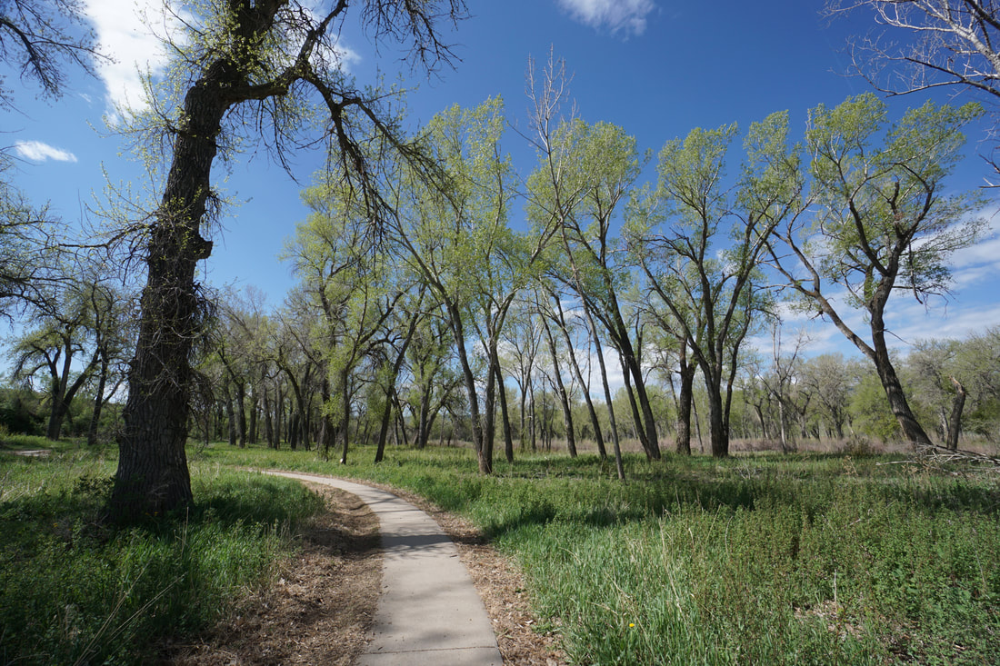
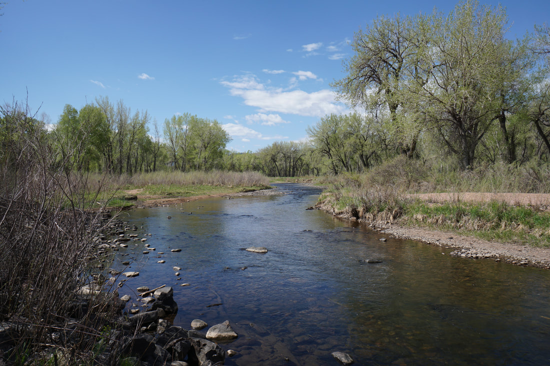
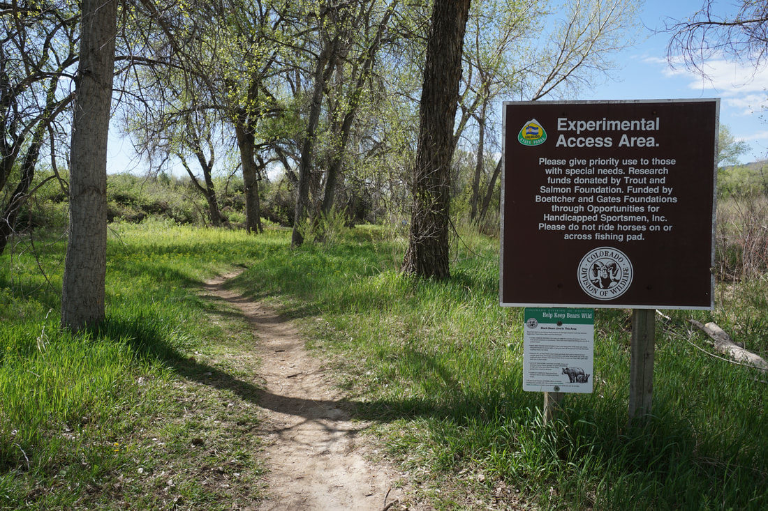
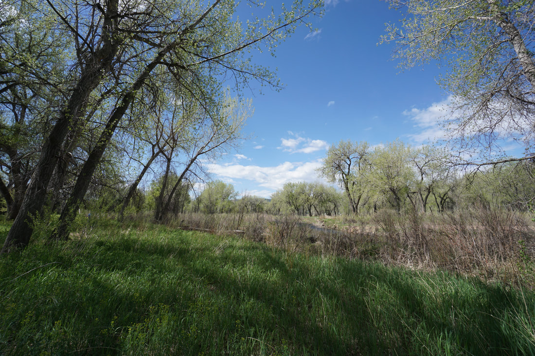
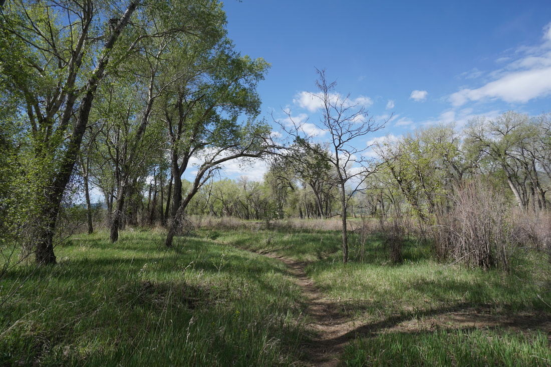
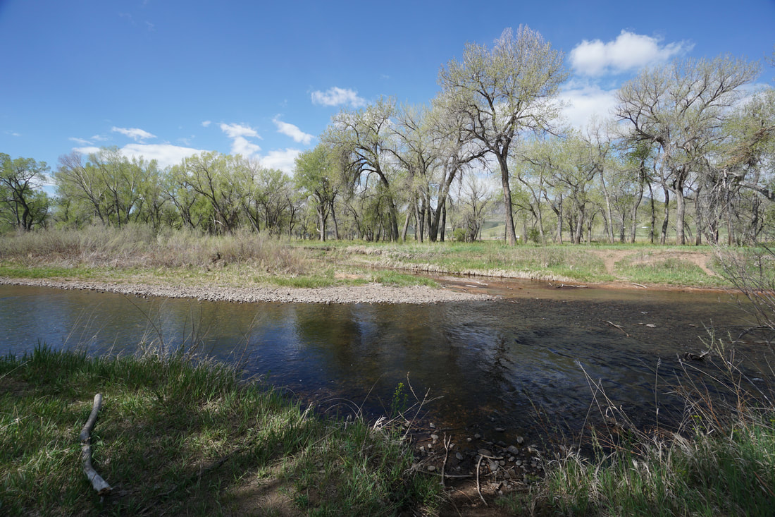
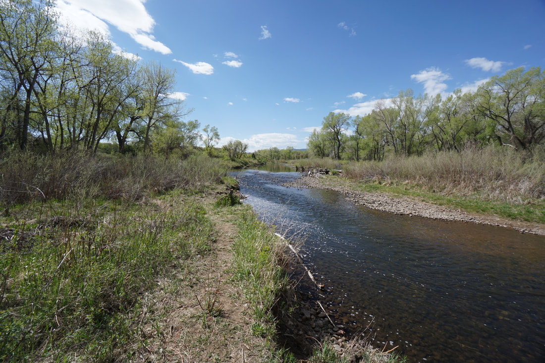
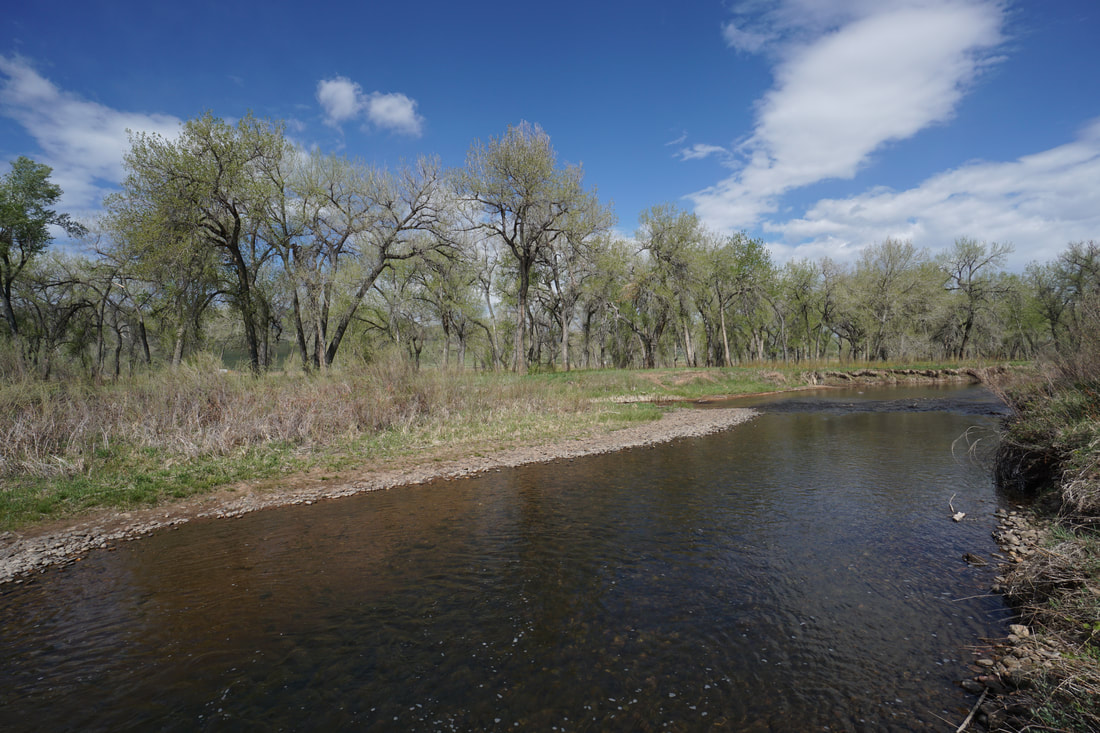
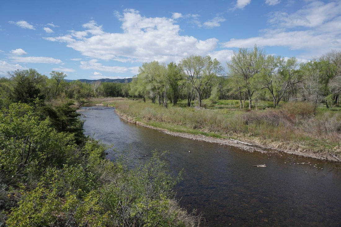
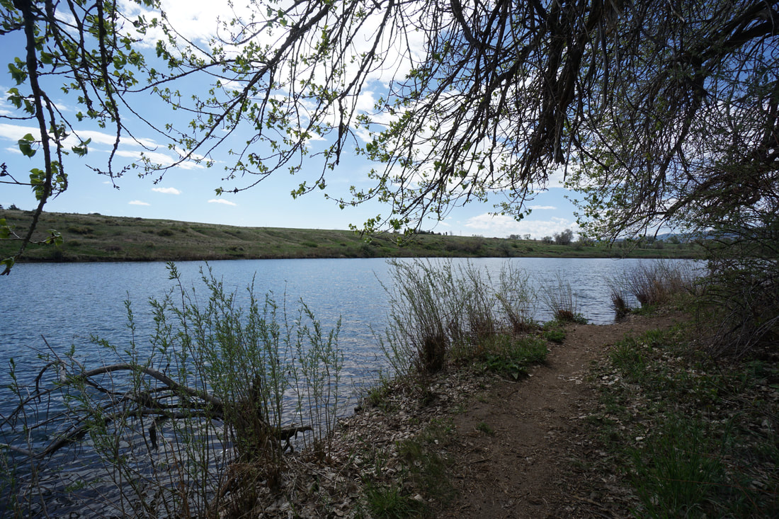
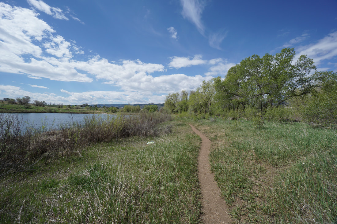
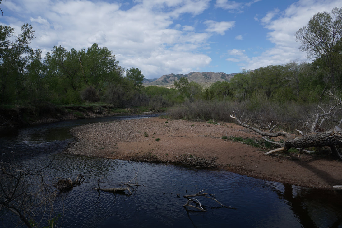
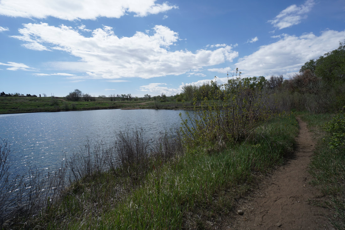
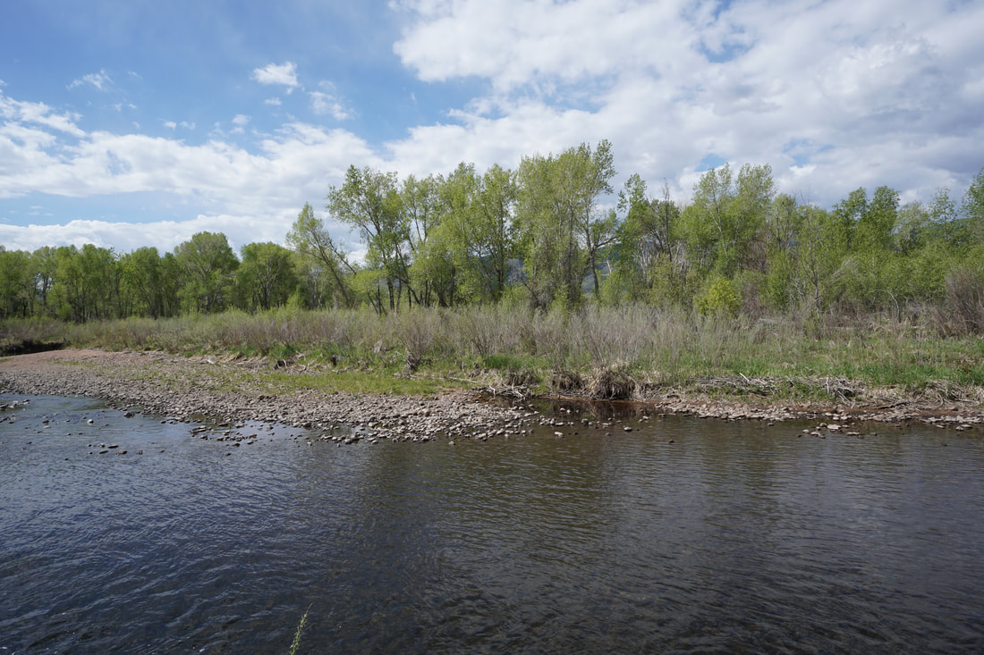
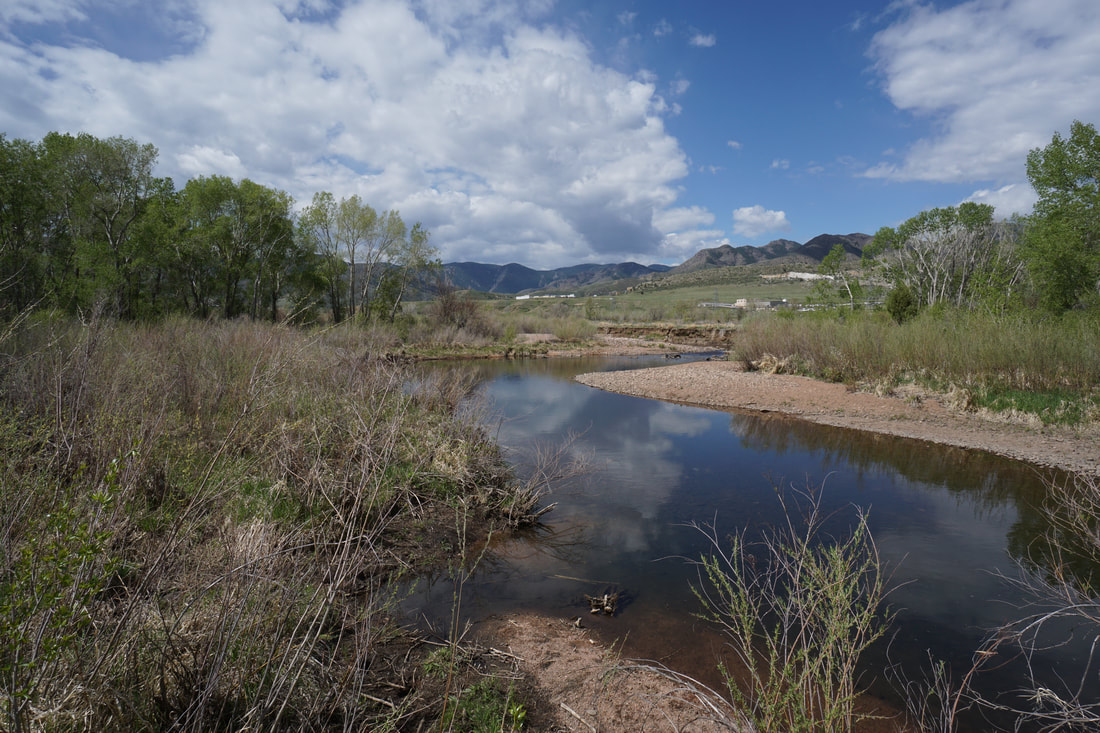
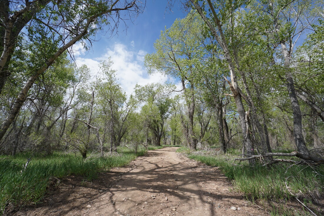
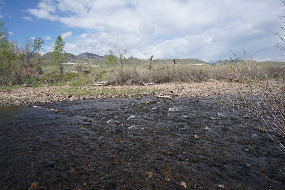
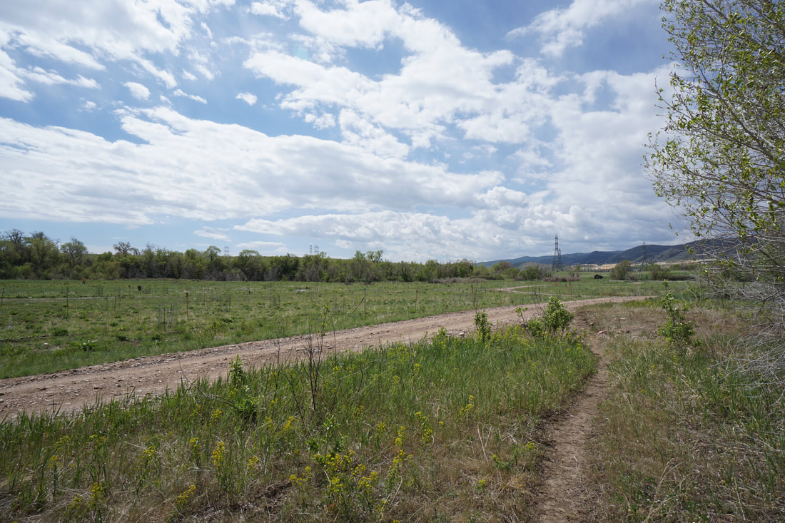
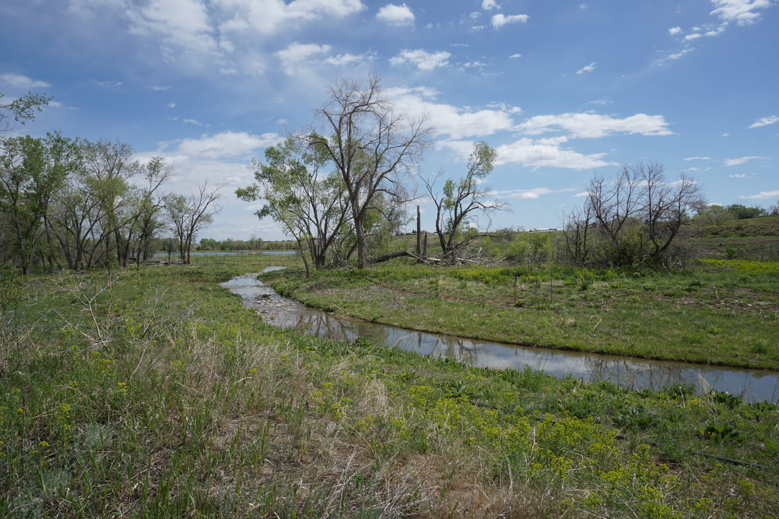
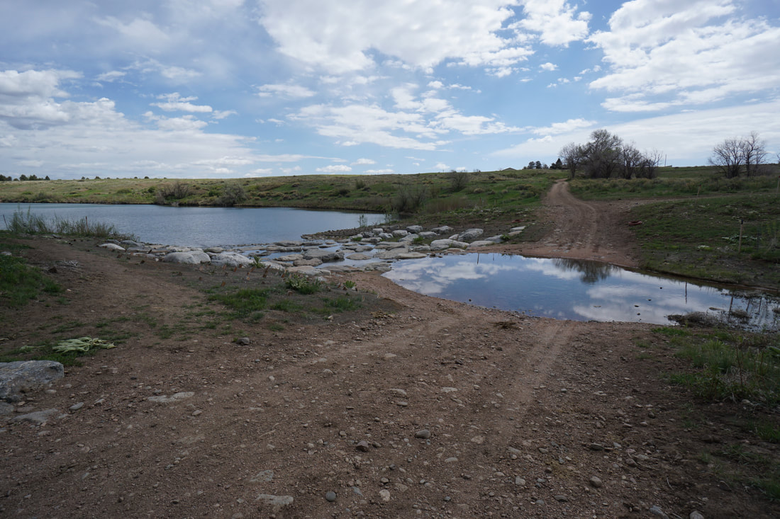
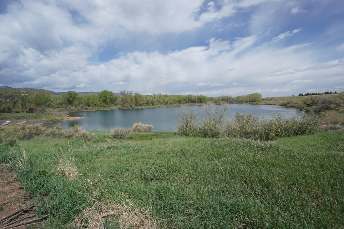
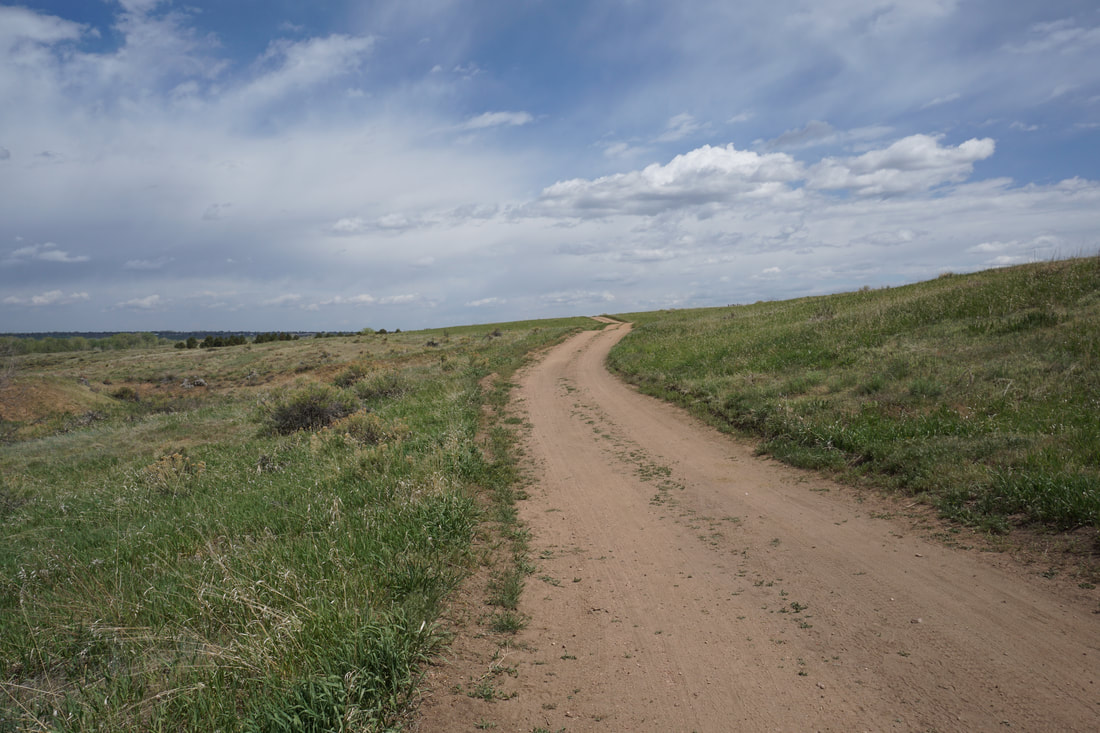
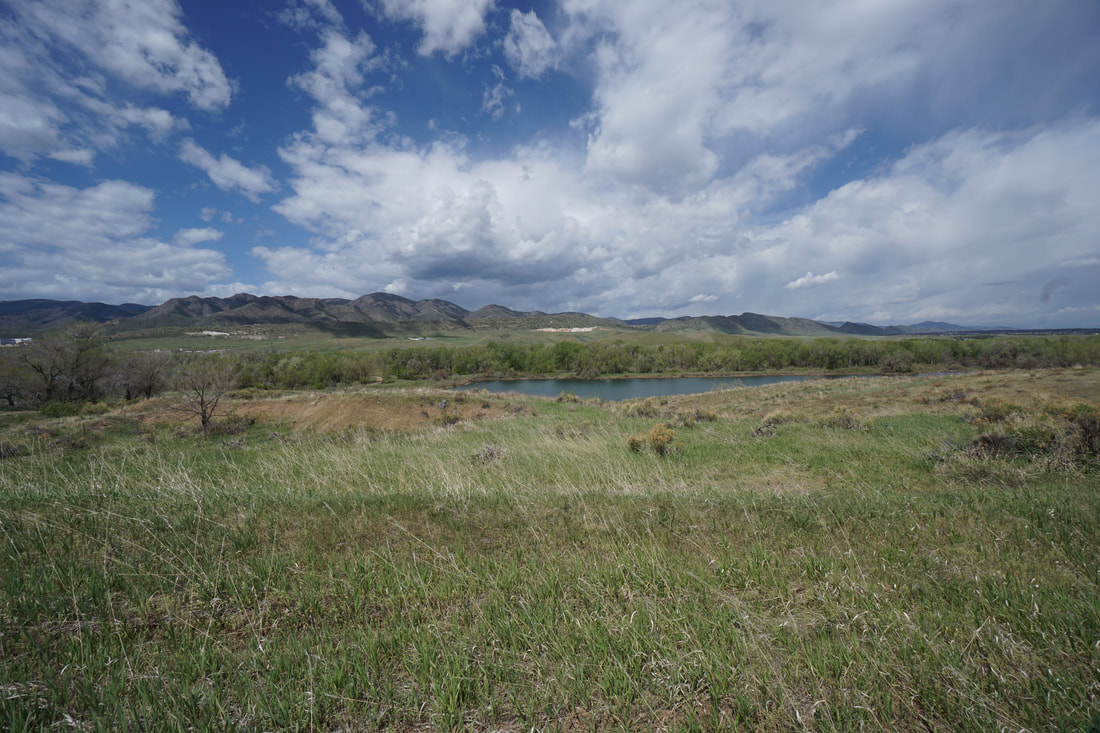
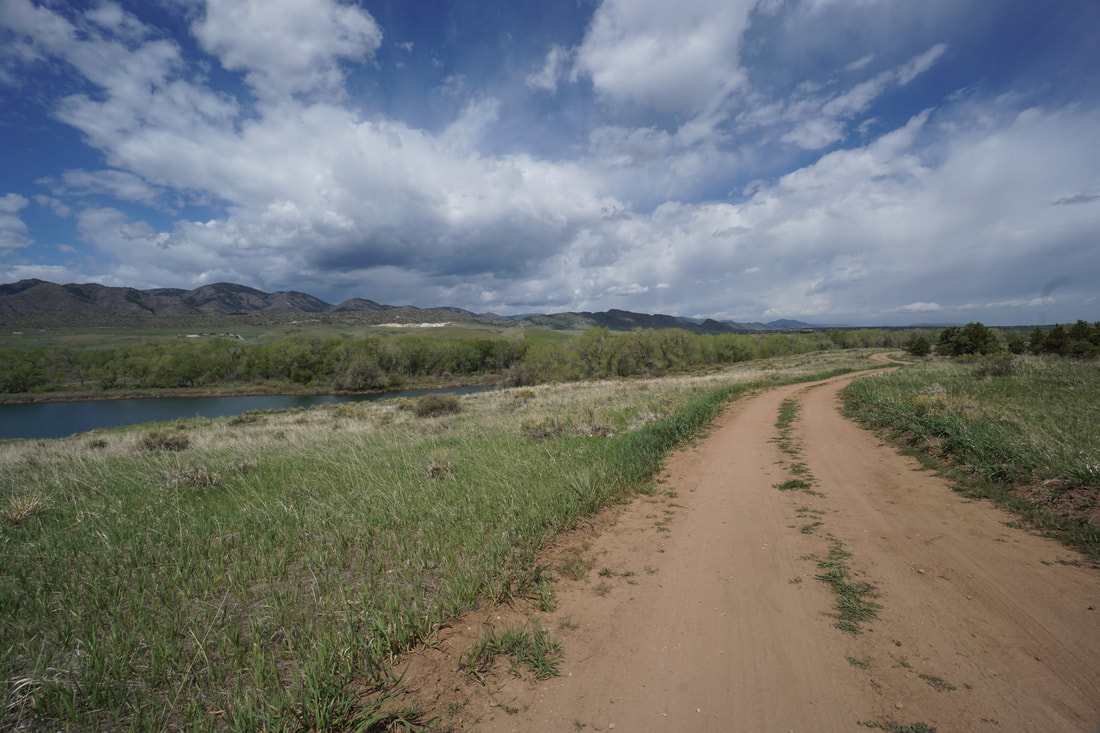
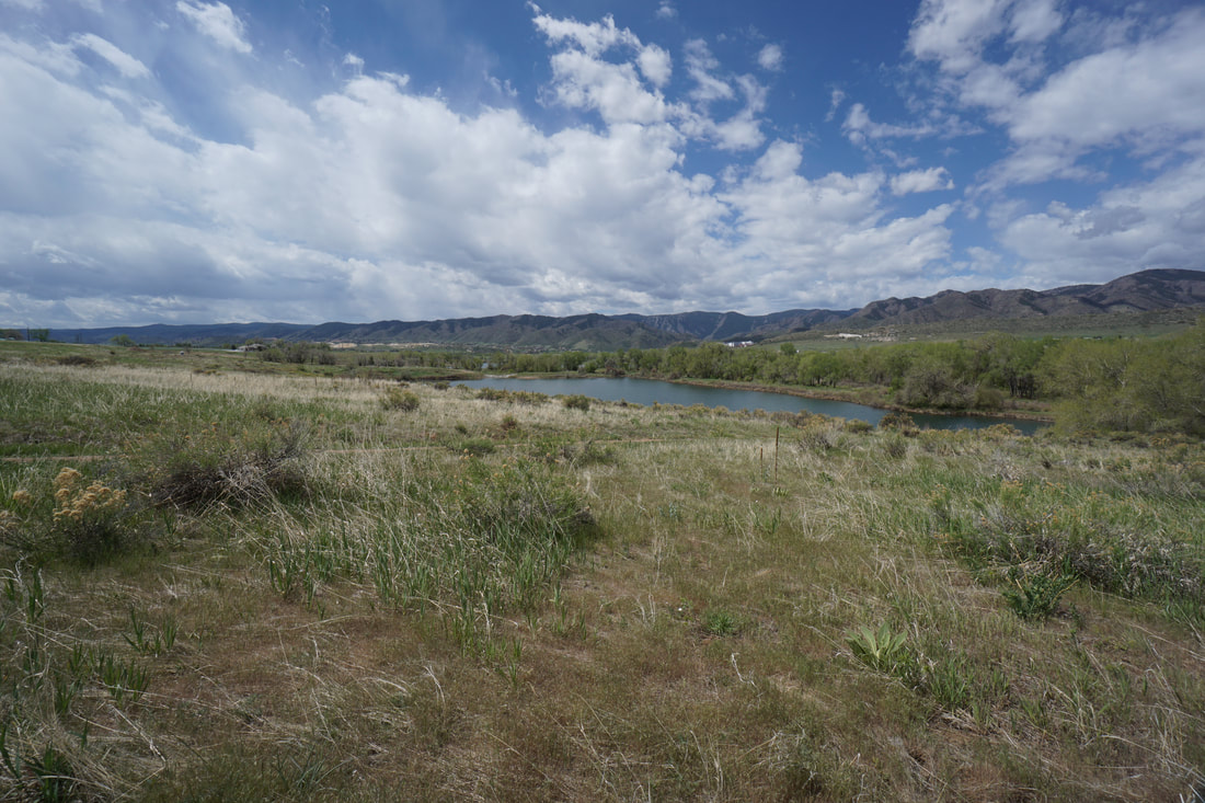
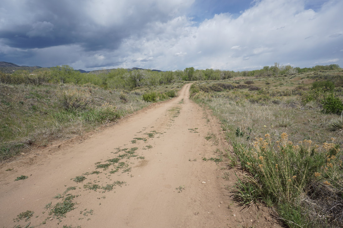
From the Platte River Trailhead and Parking area, follow the unsigned single track trail through the opening in the fence and head down hill. The dirt road is the Platte River Trail but I suggest crossing the road and following the paved trail into the forest. This trail winds through the cottonwoods for a few minutes until you reach a sign for the Experimental Access Area and straight ahead is a small overlook. Enter the Experimental Access Area. After the Experimental Access Area sign follow the single track dirt trail trail through the cottonwood forest. At the first fork in the trail, bear right to head down towards the Platte River, this is the more scenic option. The trail follows the river's edge for a few minutes walk, then leaves the cottonwood forest and climbs a small hill. The views looking down on the Platte River are especially scenic. The trail continues and joins with the Platte River Trail. However, there is an option to bear right and descend a hill back to the river, take this route. The trail again follows the river for a short way before arriving at a pond. At the western end of the pond is a small beaver dam, walk across the dam to continue following the trail which leads along the western edge of the pond. Past the pond, the trail rejoins the Platte River Trail and heads west past a large open meadow and towards a larger lake. The trail follows the western shore of the lake and soon a social trail branches off to the right into the forest and towards the river. Before long the social trail joins again with the Platte River Trail. Follow the Platte River Trail south and yet another social trail will branch off into the forest and to the river. This trail is short and soon returns you to the Platte Trail now south of the larger lake. This is a good place to turn around or continue for another few minutes to the ruins of an abandoned historic homestead. I recently visited this spot coming from the other direction from the trail as it branches off from the High Line Canal Trail. For your return, follow the Platte River Trail for a change in scenery. The trail returns to the western shore of the larger lake, then crosses to the eastern shore of the pond. Here the trail gains a small hill providing extremely scenic views of the foothills and the park. The trail then dips downhill and follows the bottom of a gully before returning to the trailhead. |
|
- HOME
- ABOUT
-
HIKES BY REGION
-
NATIONAL PARK HIKES
- BENT'S OLD FORT NATIONAL HISTORIC SITE
- BLACK CANYON OF THE GUNNISON NATIONAL PARK
- COLORADO NATIONAL MONUMENT
- CURECANTI NATIONAL RECREATION AREA
- DINOSAUR NATIONAL MONUMENT
- FLORISSANT FOSSIL BEDS NATIONAL MONUMENT
- MESA VERDE NATIONAL PARK
- ROCKY MOUNTAIN NATIONAL PARK
- GREAT SAND DUNES NATIONAL PARK
- HOVENWEEP NATIONAL MONUMENT
- SAND CREEK MASSACRE NATIONAL HISTORIC SITE
- YUCCA HOUSE NATIONAL MONUMENT
- HIKES BY CATEGORY
- NEWS
- WEBCAMS
- $UPPORT GHC
- INTERACTIVE MAP
Platte River Trail &
Experimental Access Area
Chatfield State Park
Date Hiked: May 14, 2020
Distance: 3.7 mi (RT)
Elevation Gain: 100 ft
Elevation Min/Max: 5,430 to 5,520 ft
Trailhead Lat/Long: 39.52112, -105.07724
Managing Agency: CO Division of Parks & Wildlife
Fee: Yes