|
DIRECTIONS: From the Denver Area take C-470 to Wadsworth Blvd. and follow Wadsworth south past Chatfield State Park to Waterton Road and continue south past the Waterton Canyon Trailhead to the High Line Canal Parking Lot.
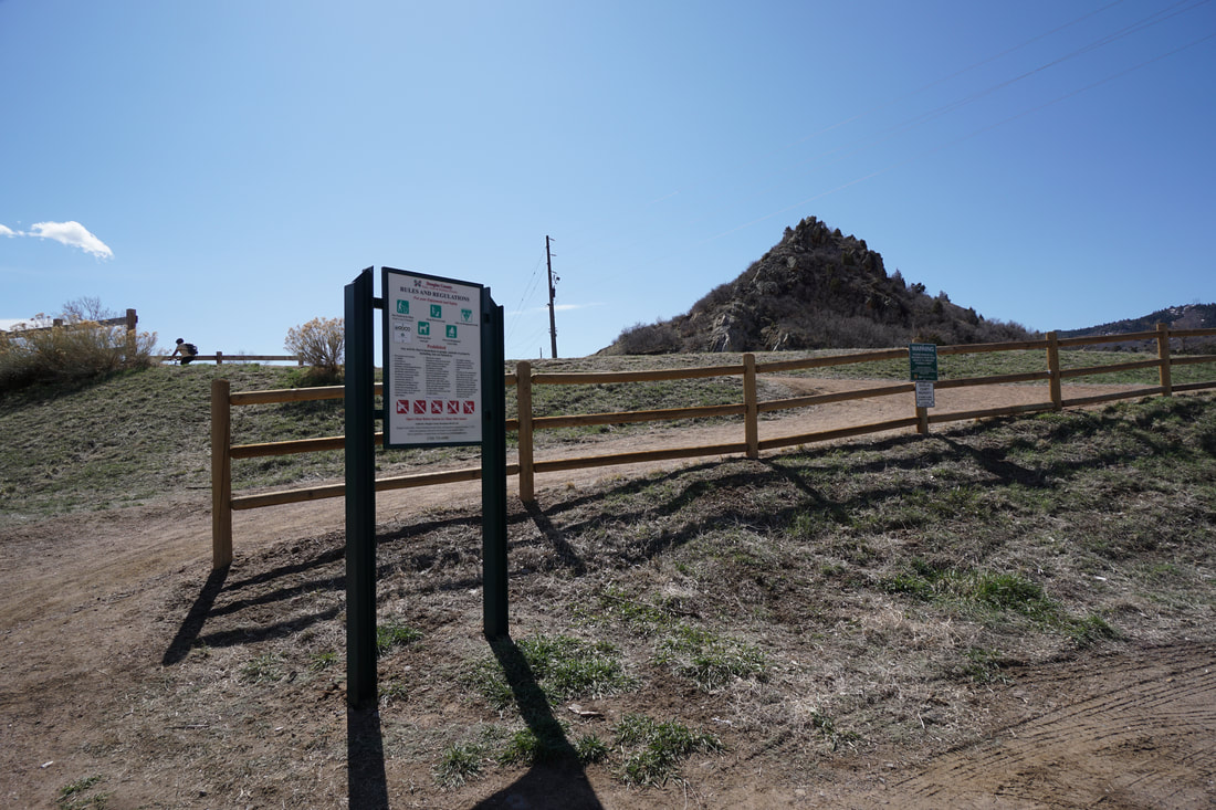
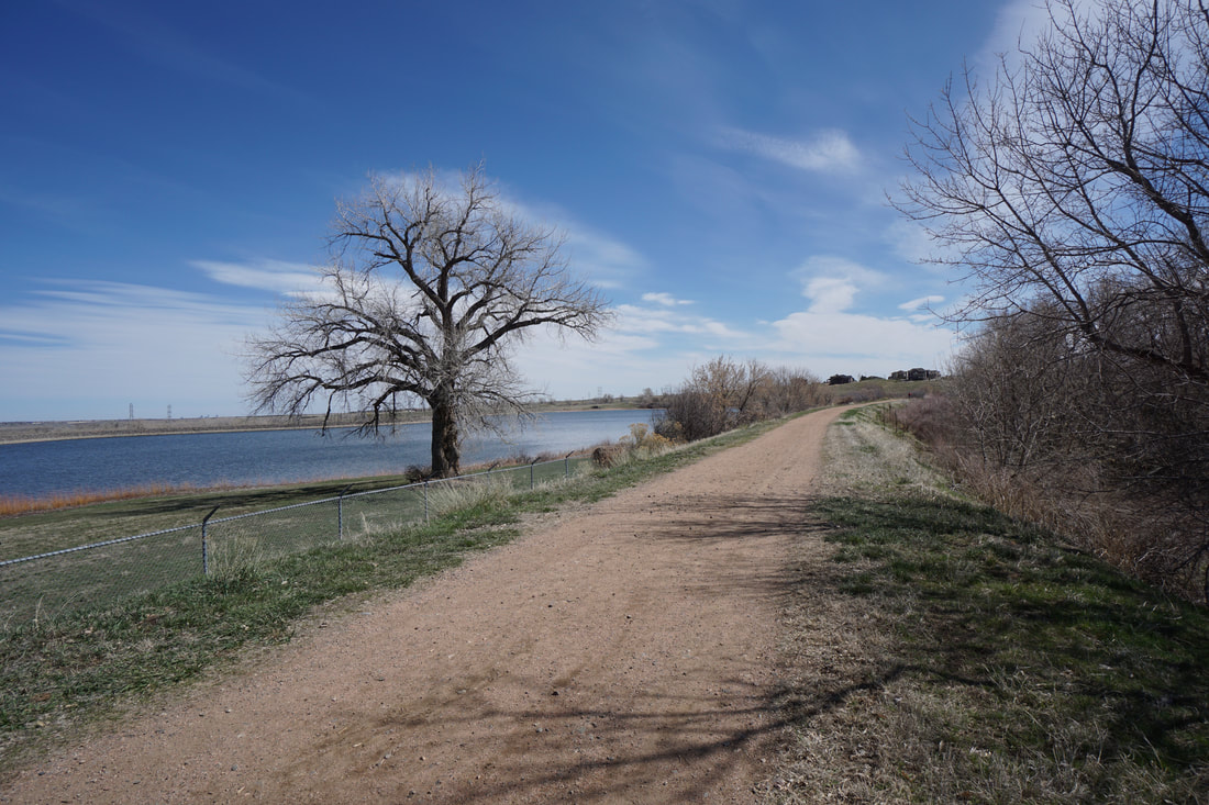
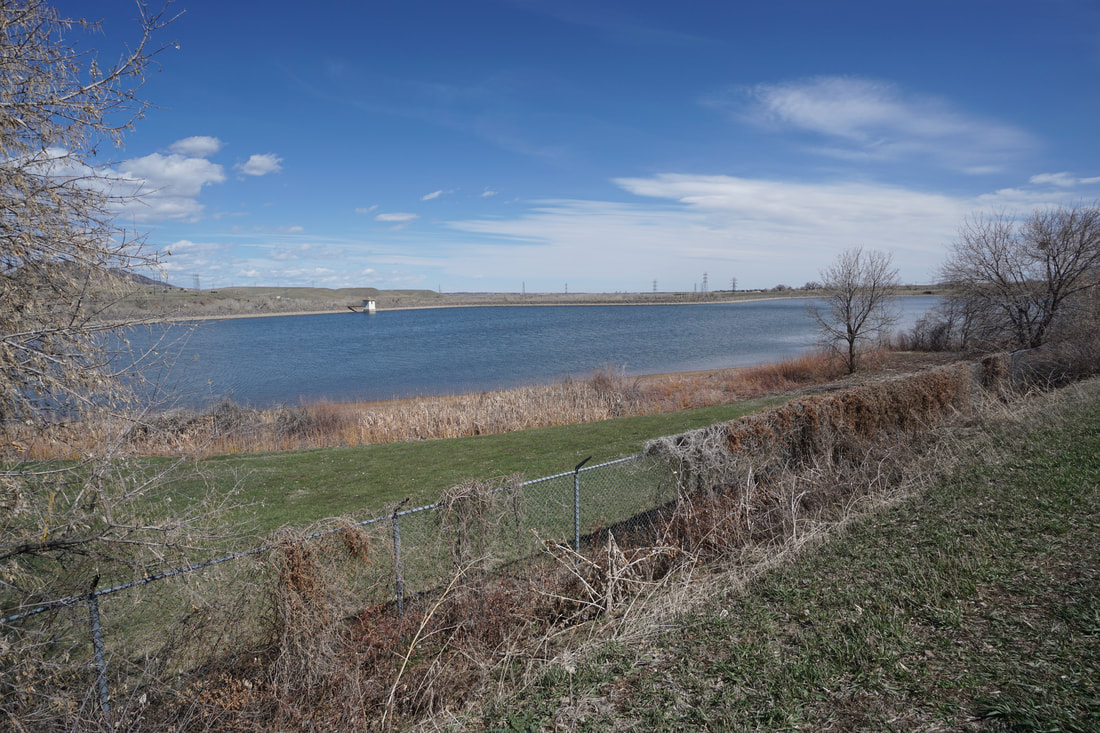
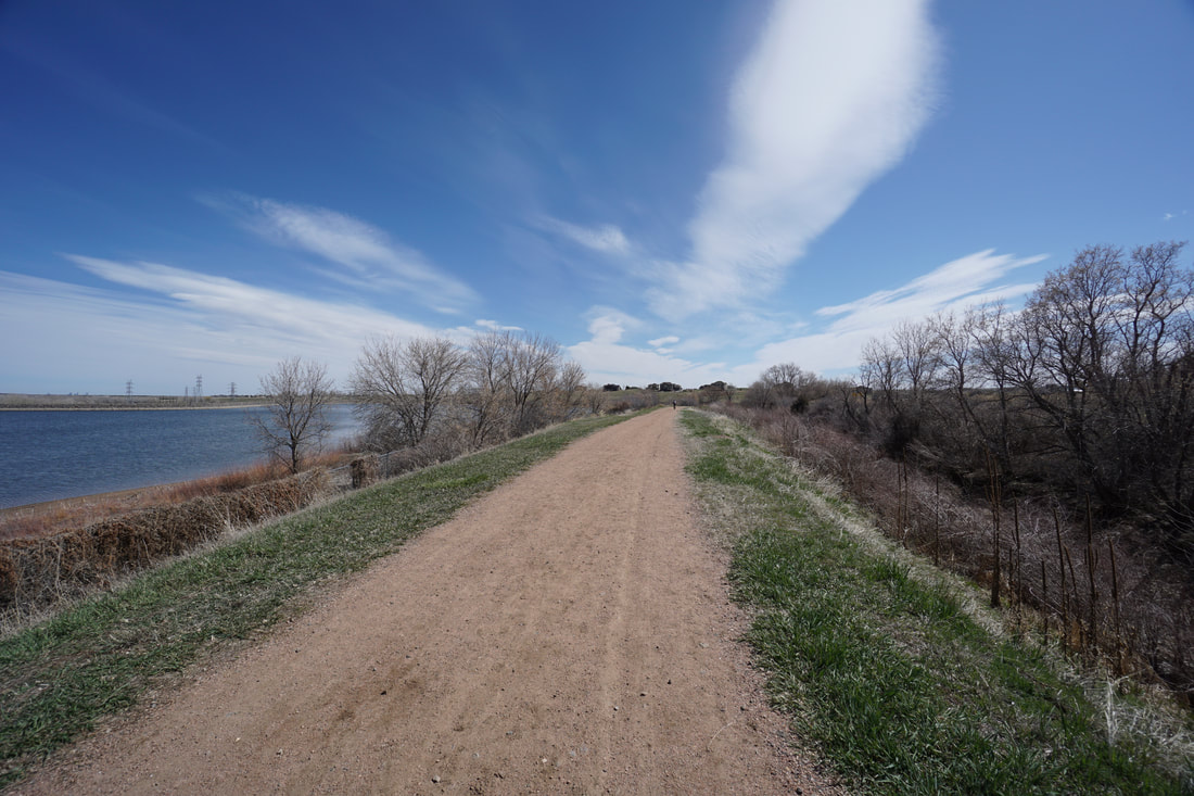
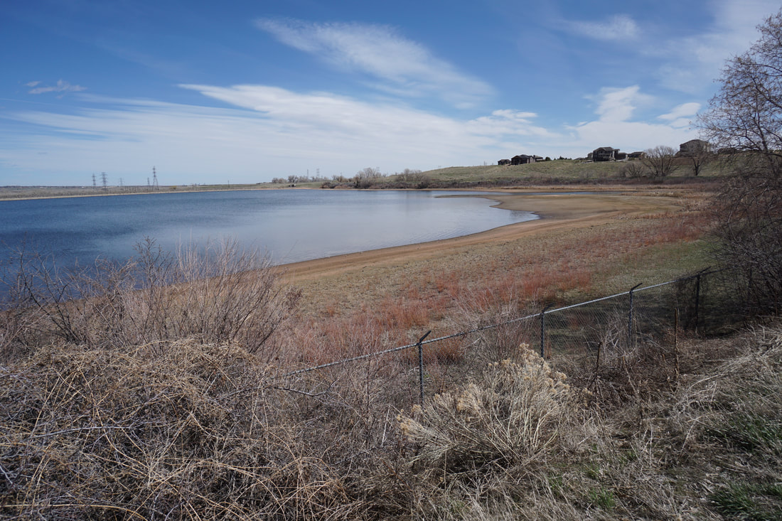
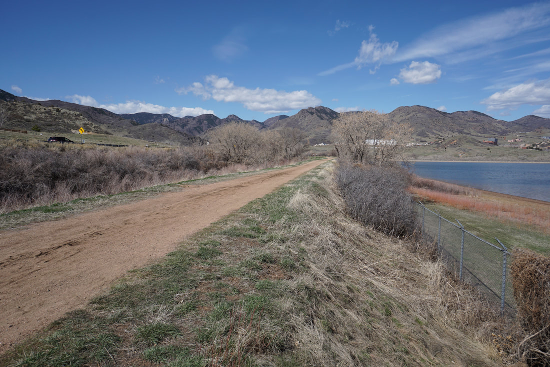
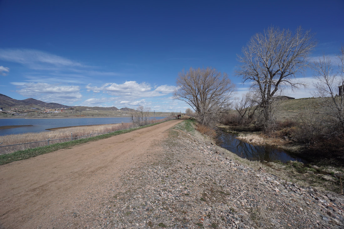
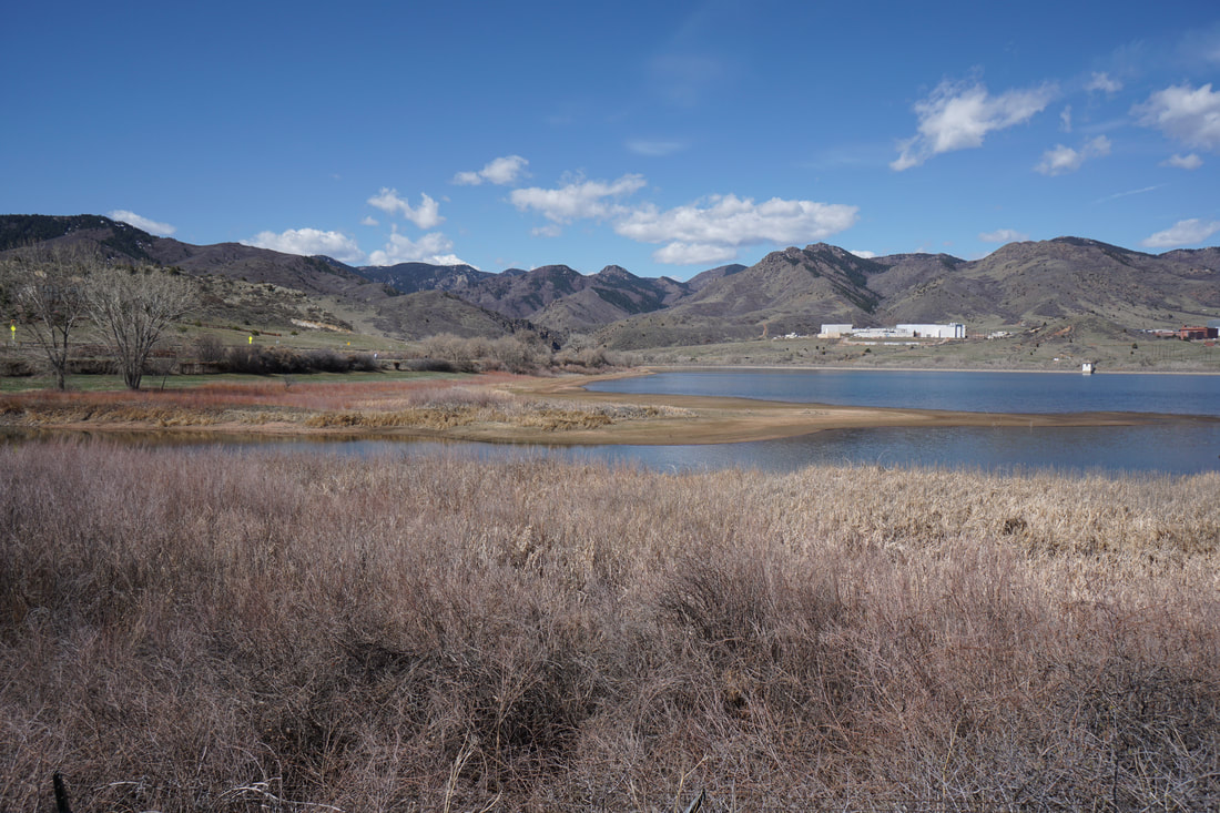
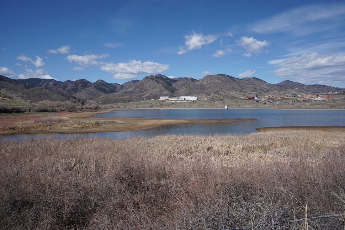
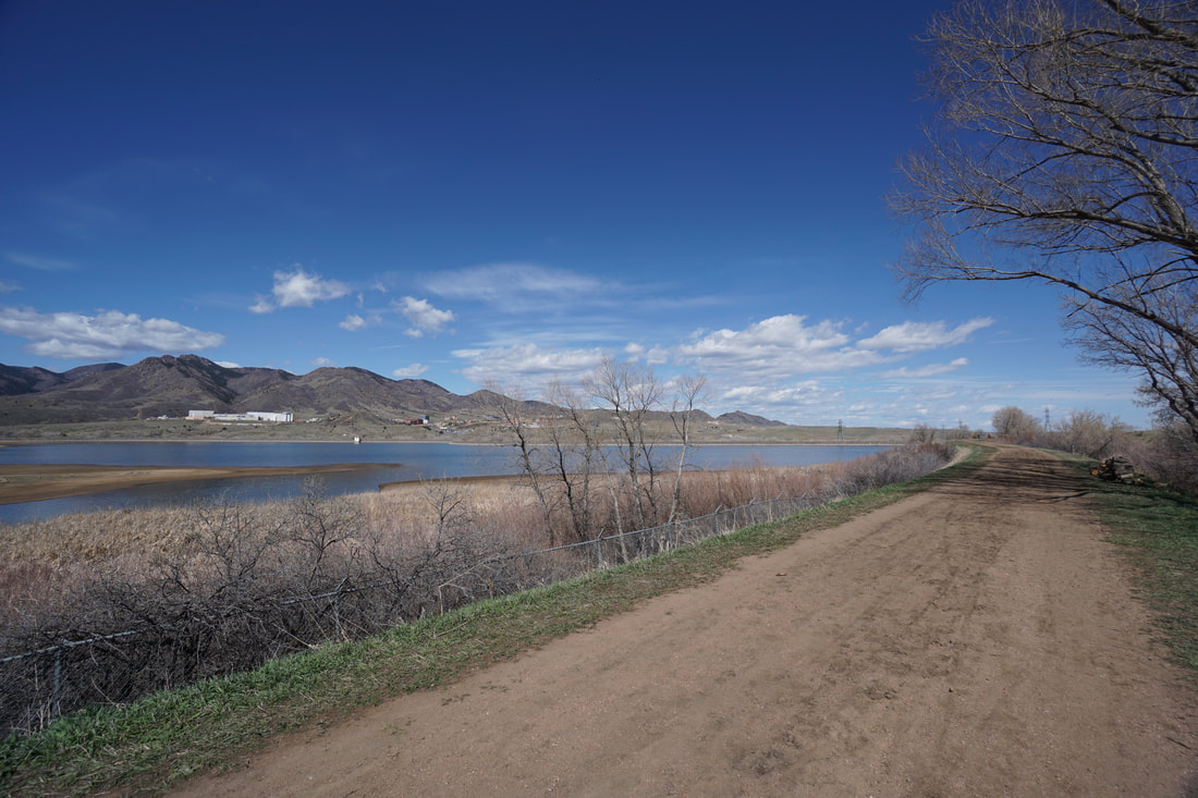
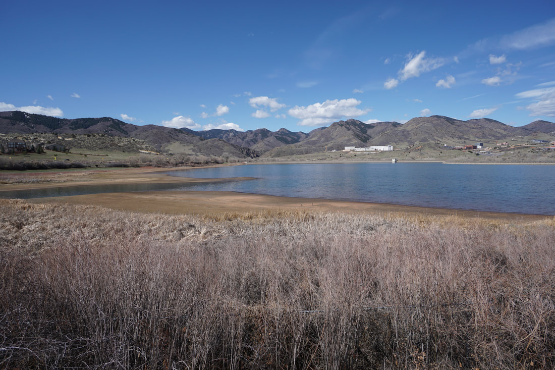
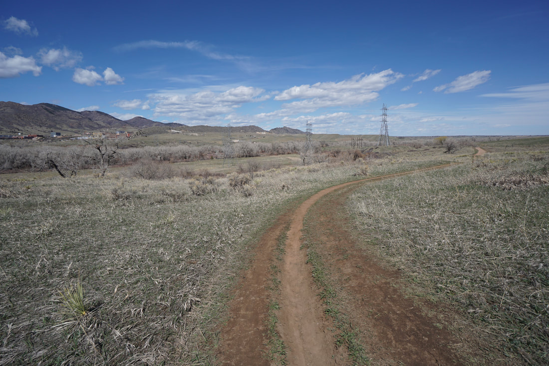
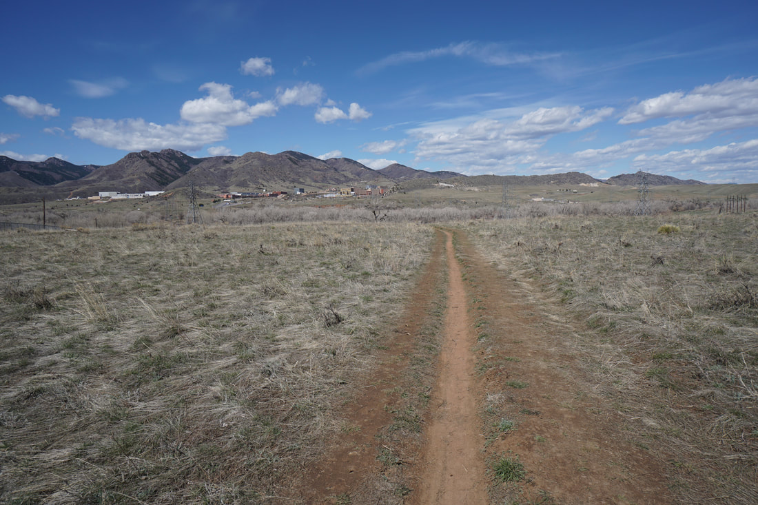
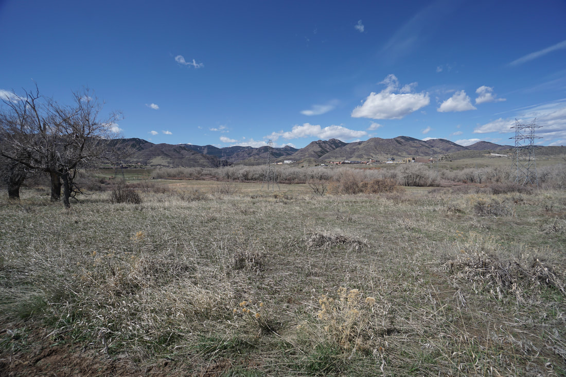
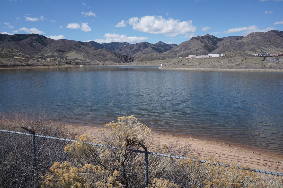
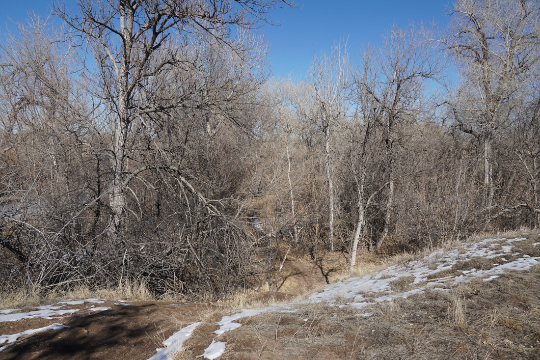
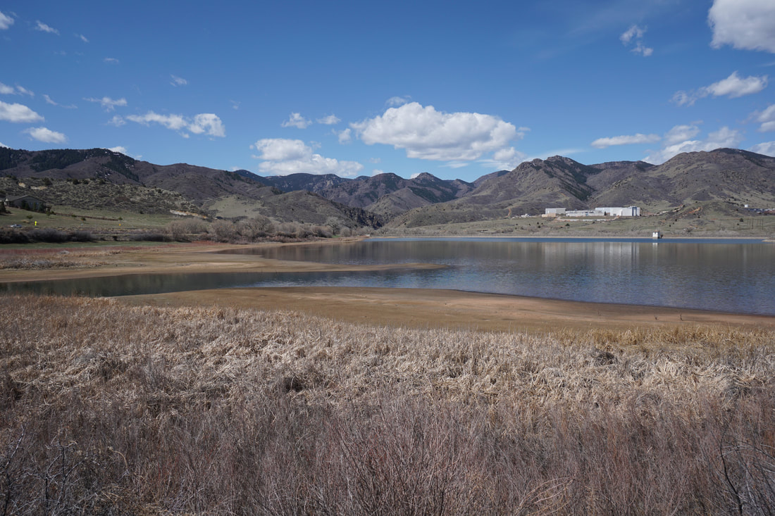
The High Line Canal Trail is an amazing resource stretching from Waterton Canyon all the way to Green Valley Ranch. While the canal itself starts about 2 miles into Waterton Canyon, the trail begins at a parking lot south of Chatfield State Park along the shores of the Platte Canyon Reservoir (no access). This initial segment is very scenic and consists of a wide dirt trail that follows the reservoir and heads north to skirt the southern boundary of Chatfield State Park.
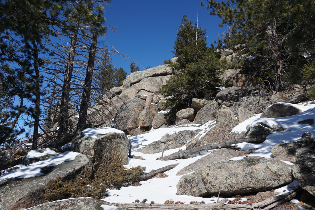
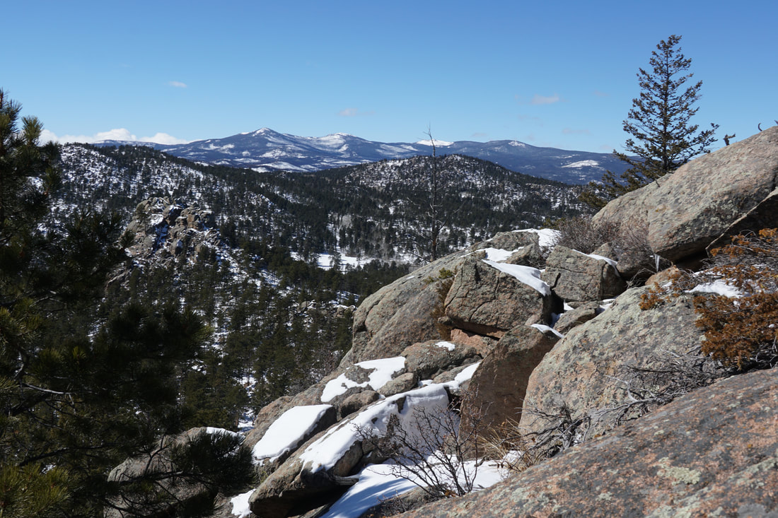
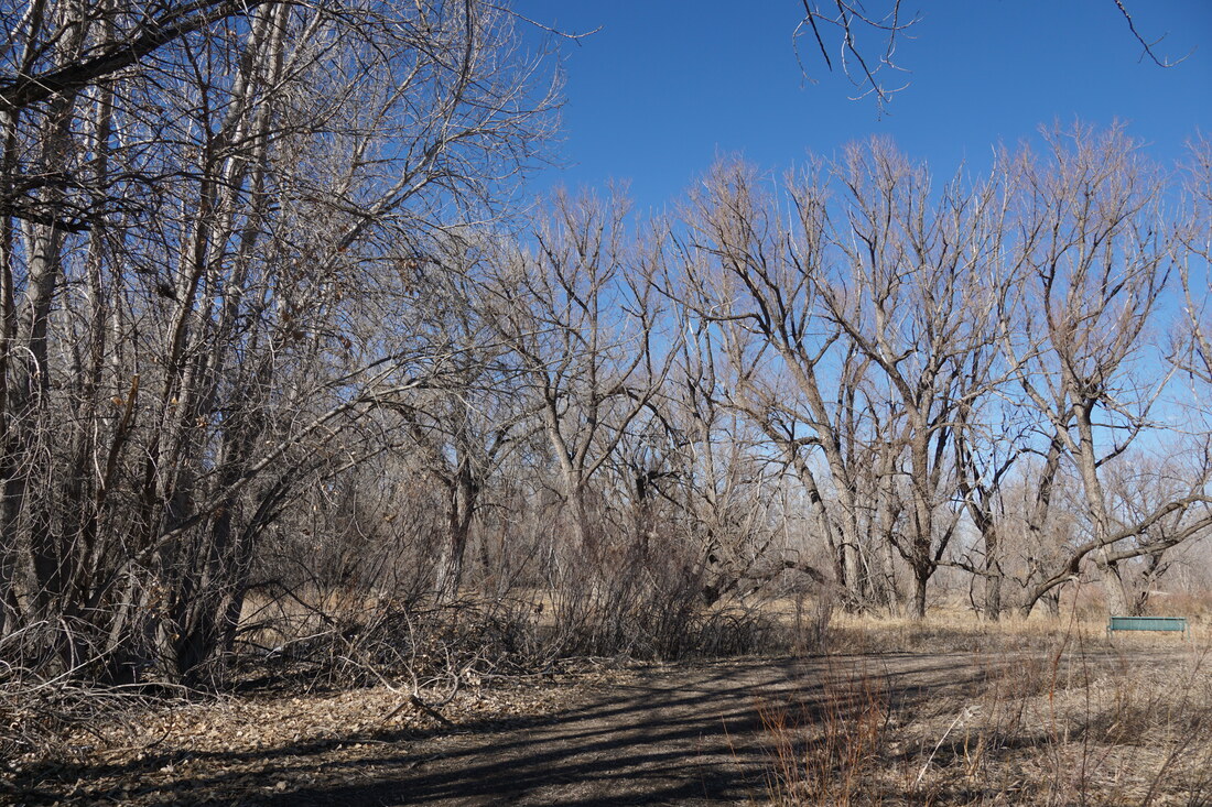
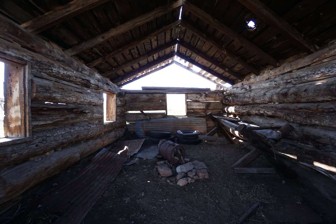
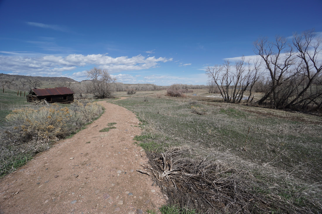
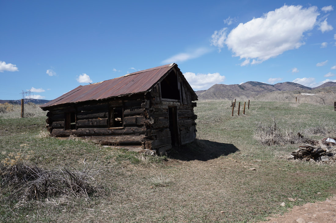
From the parking area, the trail is easy enough to follow. The views across the reservoir are beautiful and include the mouth of Waterton Canyon with Turkshead Peak popping up in the distance. The trail follows the southern shore then heads north along the eastern shore. You can follow the trail as far as you want but once you reach the end of the Eastern Shore the trail moves away from the Reservoir. At this point, there is a relatively unknown trailhead for Chatfield State Park. I highly recommending following this trail into the State Park and I look forward to returning in the fall to explore this area. The trail is a mix of dirt single track and old dirt service roads. The trail descends down to the South Platte River and various Chatfield ponds. As you reach the valley floor there is an interesting old ruin of a ranch house that you can explore. This is also a good place to turn around if you want to keep this hike to a short 3 miles round trip. Heading back to the trailhead follows the same route along the High Line Canal. This short segment makes for a nice easy hike. The trail is used by hikers and bikers but is not a bikers' speedway like some other multi-use recreational trails tend to be. With many many miles of trail you can make it as long or as short as you want. |
|
- HOME
- ABOUT
-
HIKES BY REGION
-
NATIONAL PARK HIKES
- BENT'S OLD FORT NATIONAL HISTORIC SITE
- BLACK CANYON OF THE GUNNISON NATIONAL PARK
- COLORADO NATIONAL MONUMENT
- CURECANTI NATIONAL RECREATION AREA
- DINOSAUR NATIONAL MONUMENT
- FLORISSANT FOSSIL BEDS NATIONAL MONUMENT
- MESA VERDE NATIONAL PARK
- ROCKY MOUNTAIN NATIONAL PARK
- GREAT SAND DUNES NATIONAL PARK
- HOVENWEEP NATIONAL MONUMENT
- SAND CREEK MASSACRE NATIONAL HISTORIC SITE
- YUCCA HOUSE NATIONAL MONUMENT
- HIKES BY CATEGORY
- NEWS
- WEBCAMS
- $UPPORT GHC
- INTERACTIVE MAP
High Line Canal Trail
Platte Canyon Reservoir to Chatfield State Park
Date Hiked: April 5, 2020
Distance: 2.7 mi (RT)
Elevation Gain: 120 ft
Elevation: 5,575 ft
Managing Agency: Douglas County Parks & Trails
Fee: None