|
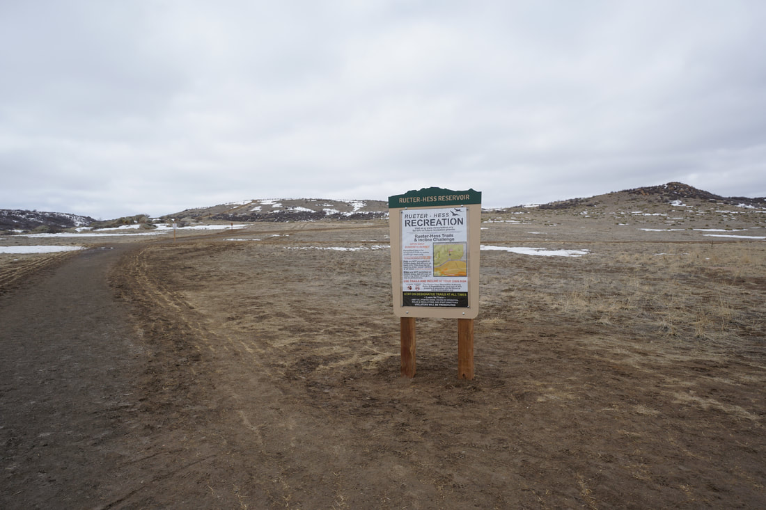
DIRECTIONS: From I-25 south of Denver, take exit 188 and turn east on East Hess Road. Head east for 4 miles and turn left onto Heirloom Parkway. Follow signs to the parking area and trailhead.
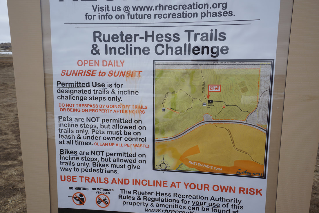
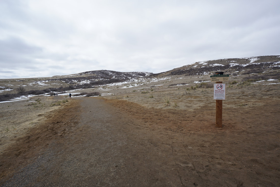
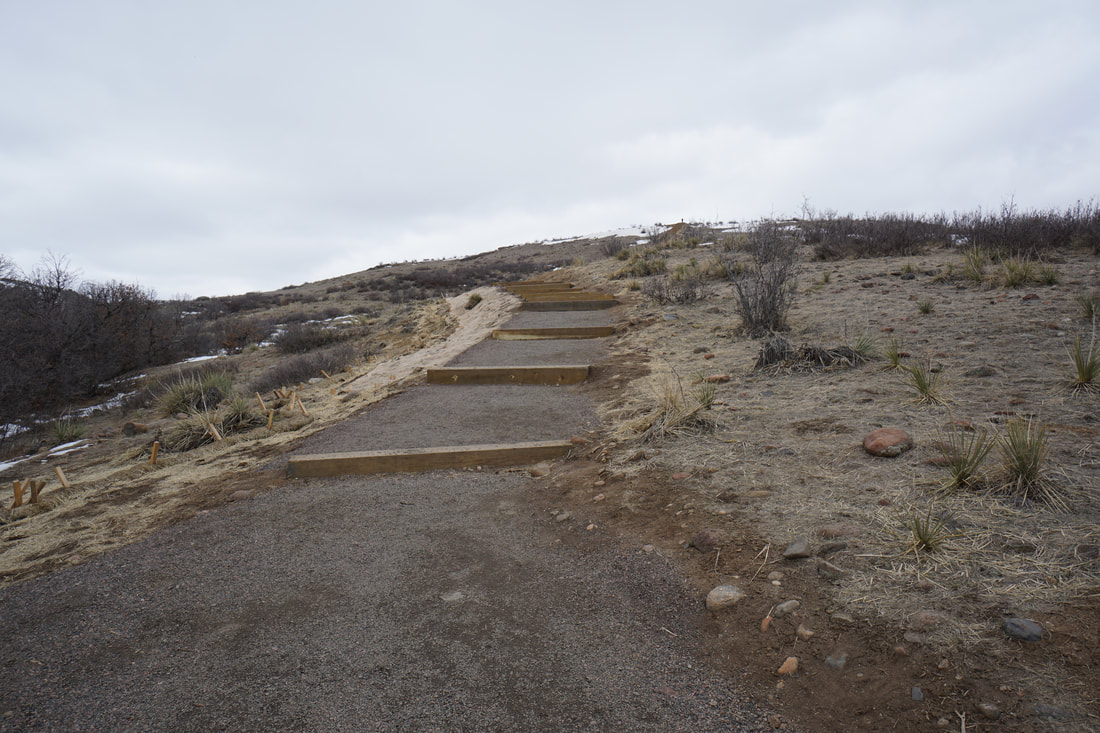
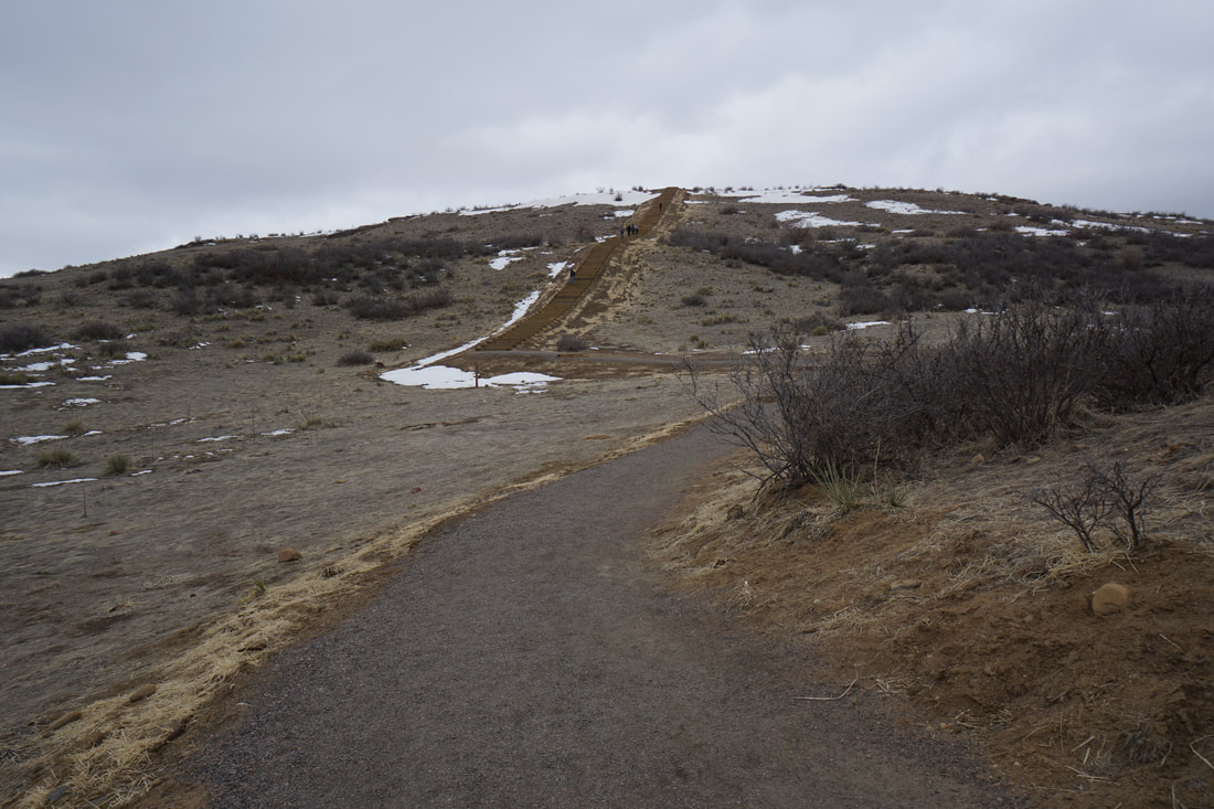
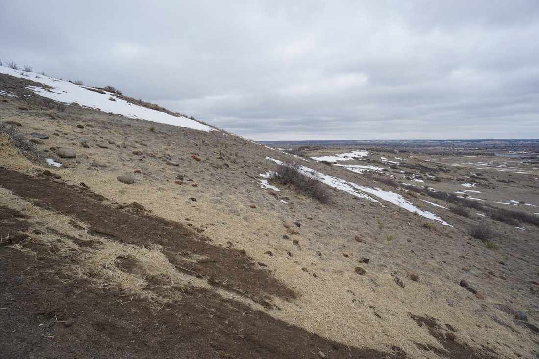
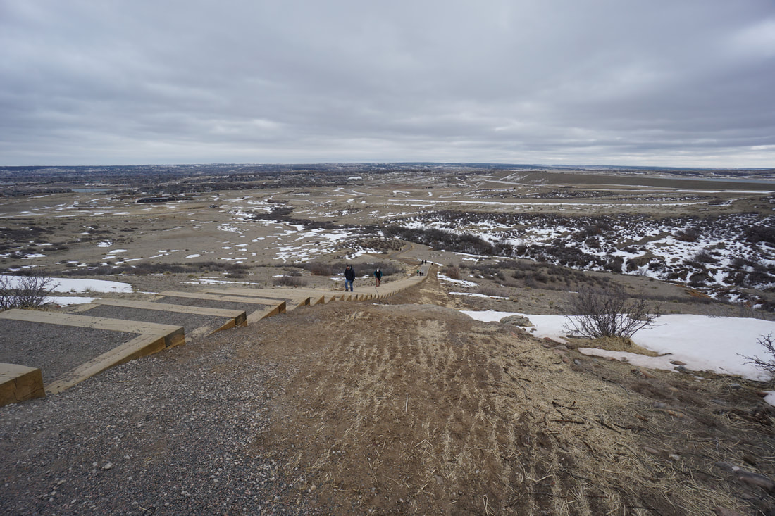
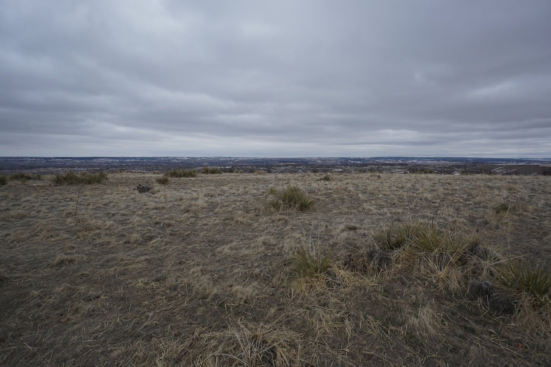
The Rosie Rueter Incline is a brand new trail built in the Douglas County suburbs. The small open space park has a one mile (roundtrip) hiking trail, with the Incline being the main attraction. The incline has 132 steps and makes for a fun workout. The incline is a good challenge for kids and a nice pre-season warm up.
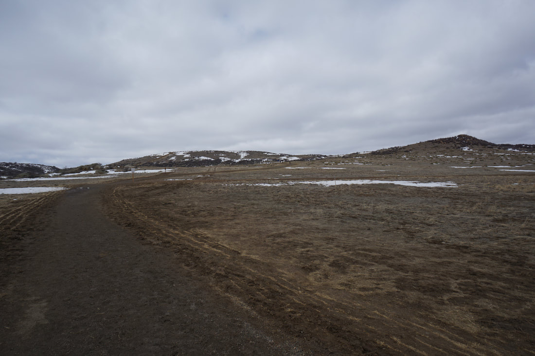
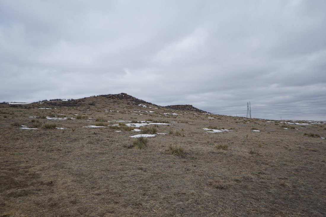
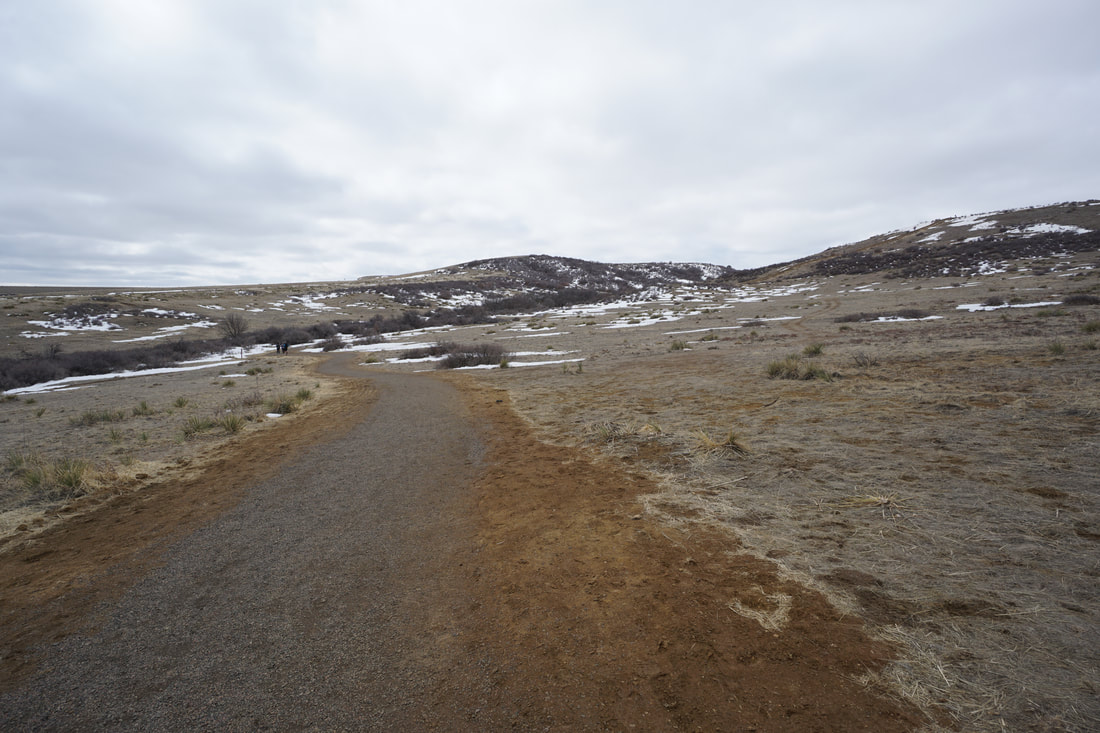
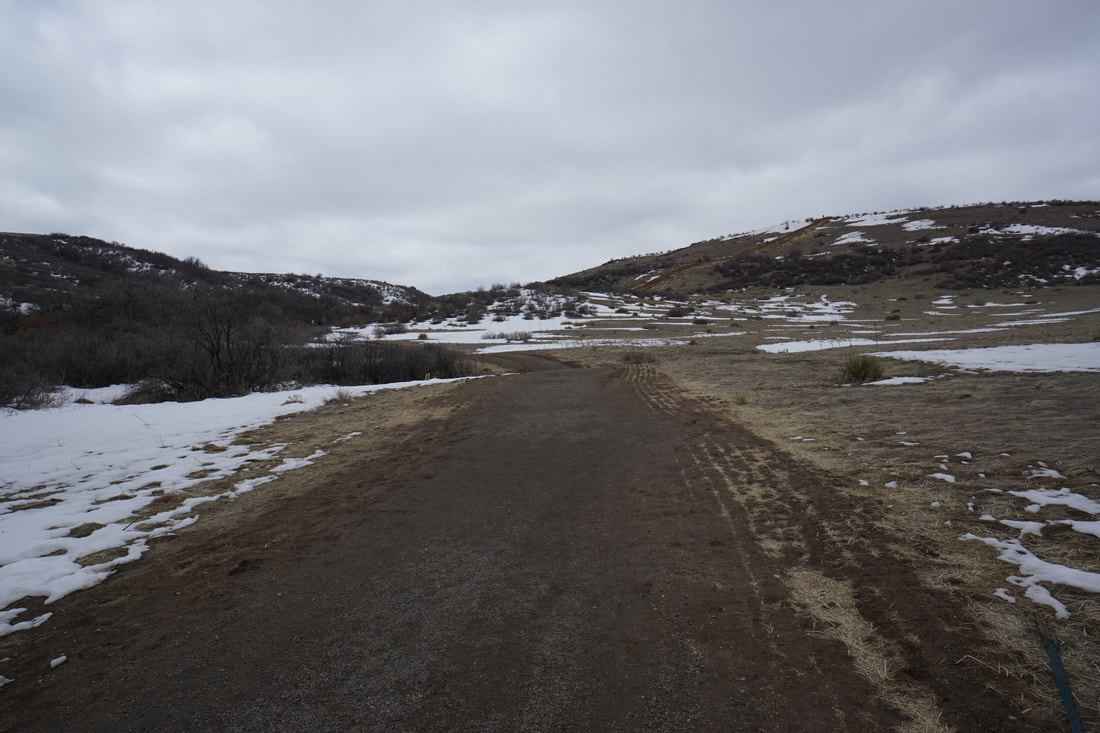
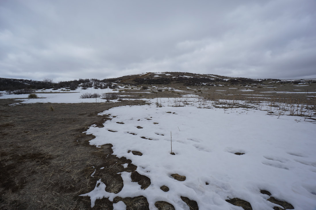
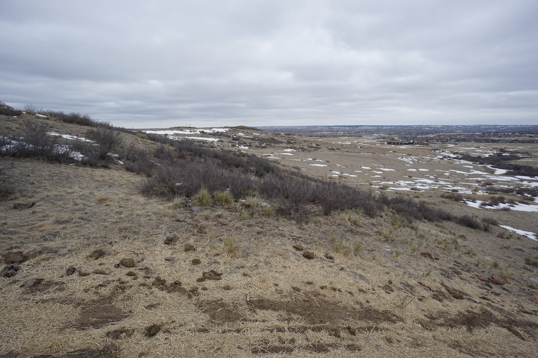
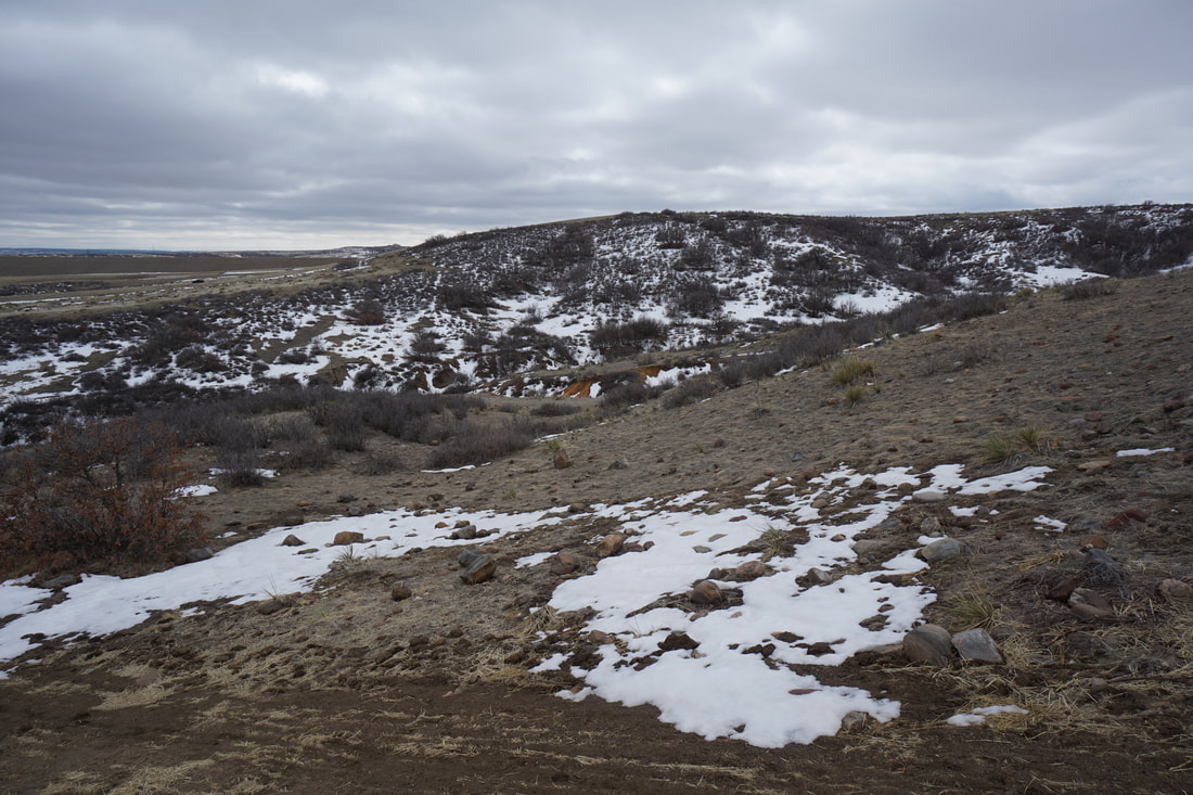
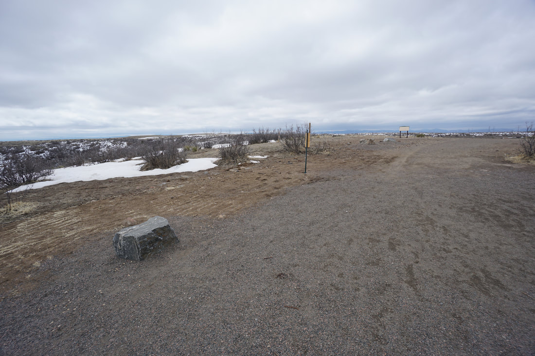
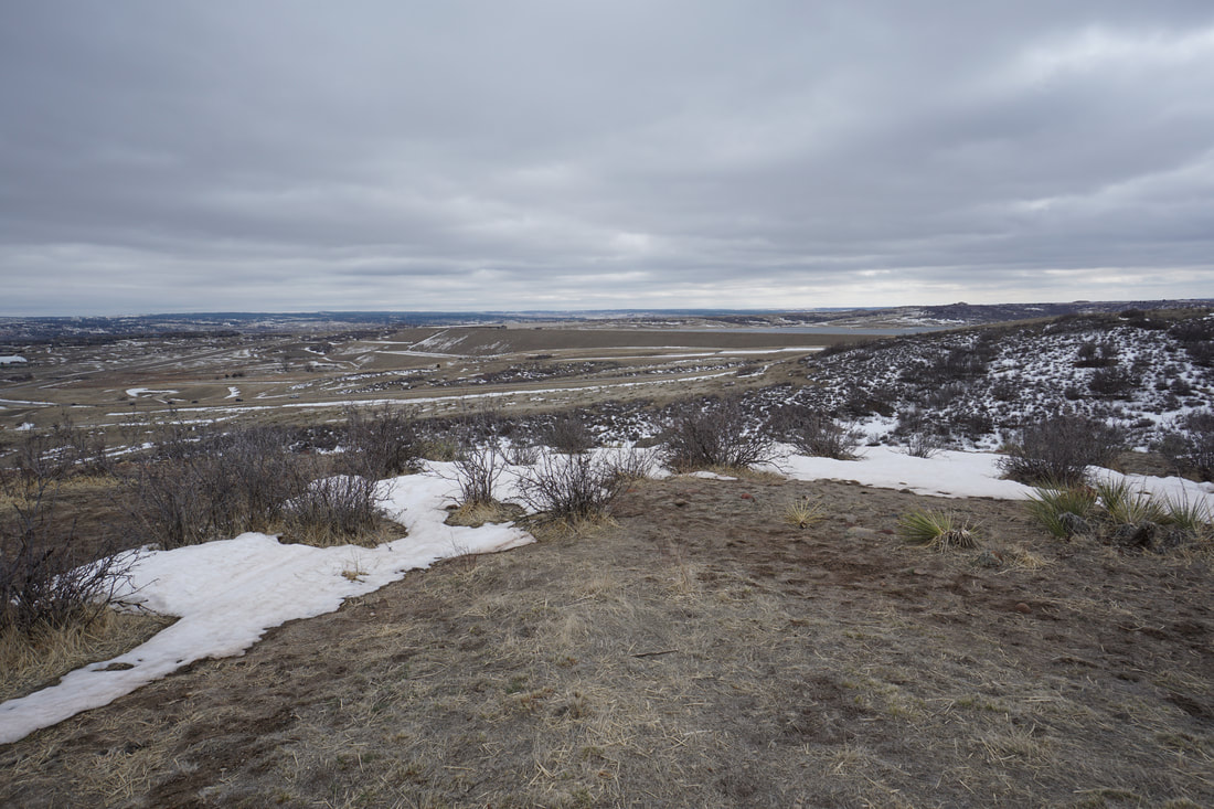
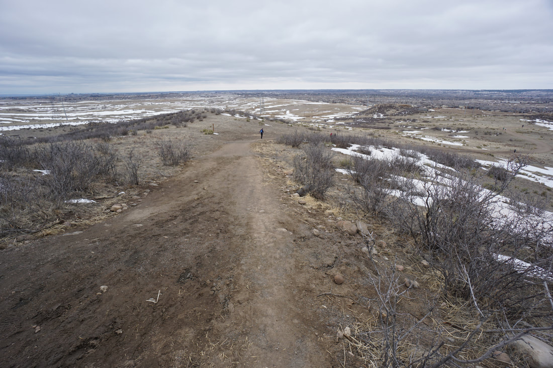
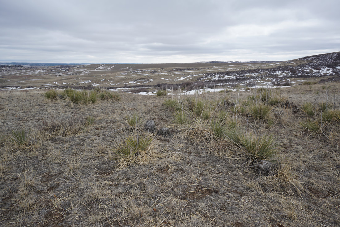
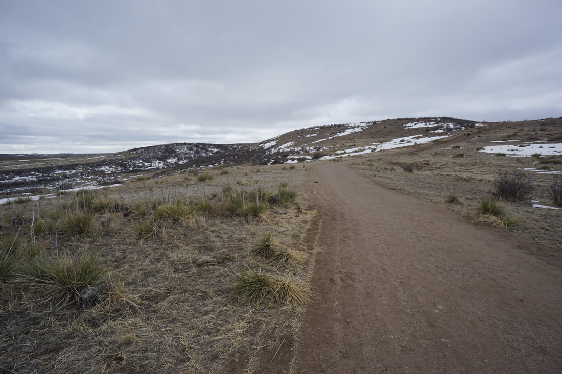
The trail is straightforward. From the parking lot, head up the trail and turn left at the split to head up the incline. The trail weaves its way uphill to the base of the incline. Climb the incline and you'll have some nice views of the surrounding area and the large Rueter-Hess Reservoir to the south. The trail follows the top of the plateau for a few minutes before heading back downhill. The downhill portion has more nice views and returns to the trail split and back to the trailhead. This hike is an interesting attraction to check out and a mini version of other Front Range inclines. It's similar to the Philip S. Miller Park Incline in Castle Rock. It's a great resource if you live in the area, and interesting to check out if you are looking for a fun easy hike with a bit of stair-climbing mixed in. |
|
- HOME
- ABOUT
-
HIKES BY REGION
-
NATIONAL PARK HIKES
- BENT'S OLD FORT NATIONAL HISTORIC SITE
- BLACK CANYON OF THE GUNNISON NATIONAL PARK
- COLORADO NATIONAL MONUMENT
- CURECANTI NATIONAL RECREATION AREA
- DINOSAUR NATIONAL MONUMENT
- FLORISSANT FOSSIL BEDS NATIONAL MONUMENT
- MESA VERDE NATIONAL PARK
- ROCKY MOUNTAIN NATIONAL PARK
- GREAT SAND DUNES NATIONAL PARK
- HOVENWEEP NATIONAL MONUMENT
- SAND CREEK MASSACRE NATIONAL HISTORIC SITE
- YUCCA HOUSE NATIONAL MONUMENT
- HIKES BY CATEGORY
- NEWS
- WEBCAMS
- $UPPORT GHC
- INTERACTIVE MAP
Rosie Rueter Incline Trail
Rueter-Hess Recreation Authority
Date Hiked: March 21, 2021
Distance: 1 mi (RT)
Elevation Gain: 290 ft
Elevation Min/Max: 6,100 to 6,325 ft
Managing Agency: Rueter-Hess Recreation Authority
Fee: None