GO HIKE COLORADO
Get in Touch:
  • HOME
  • ABOUT
  • HIKES BY REGION
    • DENVER AREA >
      • Denver Mountain Parks
      • Jefferson County Open Space
      • Lakewood Parks
      • Denver Area Greenways
    • BOULDER AREA
    • DOUGLAS COUNTY
    • FORT COLLINS AREA
    • COLORADO SPRINGS AREA
    • FRONT RANGE
    • TENMILE & MOSQUITO RANGES
    • GORE RANGE
    • SANGRE DE CRISTO MOUNTAINS
    • PARK RANGE
    • SAWATCH RANGE
    • ELK MOUNTAINS
    • SAN JUAN MOUNTAINS
    • THE FLAT TOPS
    • GRAND MESA
    • COLORADO PLATEAU
    • EASTERN PLAINS
  • NATIONAL PARK HIKES
    • BENT'S OLD FORT NATIONAL HISTORIC SITE
    • BLACK CANYON OF THE GUNNISON NATIONAL PARK
    • COLORADO NATIONAL MONUMENT
    • CURECANTI NATIONAL RECREATION AREA
    • DINOSAUR NATIONAL MONUMENT
    • FLORISSANT FOSSIL BEDS NATIONAL MONUMENT
    • MESA VERDE NATIONAL PARK
    • ROCKY MOUNTAIN NATIONAL PARK
    • GREAT SAND DUNES NATIONAL PARK
    • HOVENWEEP NATIONAL MONUMENT
    • SAND CREEK MASSACRE NATIONAL HISTORIC SITE
    • YUCCA HOUSE NATIONAL MONUMENT
  • HIKES BY CATEGORY
    • HIKES TO ALPINE LAKES
    • HIKES TO PEAKS & PASSES
    • HIKES THROUGH CANYONS
    • HIKES WITH FALL COLORS
    • HIKES ALONG THE I-70 CORRIDOR
    • HIKES ON PAVED TRAILS
    • HIKES FOR KIDS
    • HIKES TO WATERFALLS
    • HIKES ALONG RIVERS
    • HIKES WITH ROCK FORMATIONS
    • HIKES WITH WILDFLOWERS
    • WINTER HIKES
  • NEWS
  • WEBCAMS
  • $UPPORT GHC
  • INTERACTIVE MAP

South Rim Trail
Roxborough State Park

Date Hiked: April 18, 2014

​Distance: 3.2 mi (RT)

Elevation Gain: 510 ft
Elevation Min/Max: 6,128 to 6,524ft
Managing Agency: Colorado Parks & Wildlife
Fee: Yes

Roxborough State Park Website
Picture

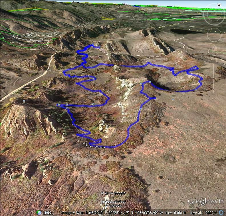
Directions:  This hike starts at the main parking area for Roxborough State Park (Park Fees are required).  From Denver take C470 and exit at S. Wadsworth Blvd.  Follow S. Wadsworth south until you pass by the Waterton Canyon Parking Area.  The road then becomes Waterton Road as you bear left.  Make a right on N. Rampart Range Rd.  Take this road until it ends and you see the signs for Roxborough SP.  When you enter the park you follow the good dirt road to the parking area and visitor's center.  The trail starts across from the flag pole at the main trailhead.

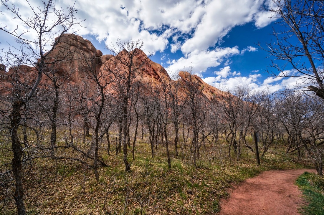
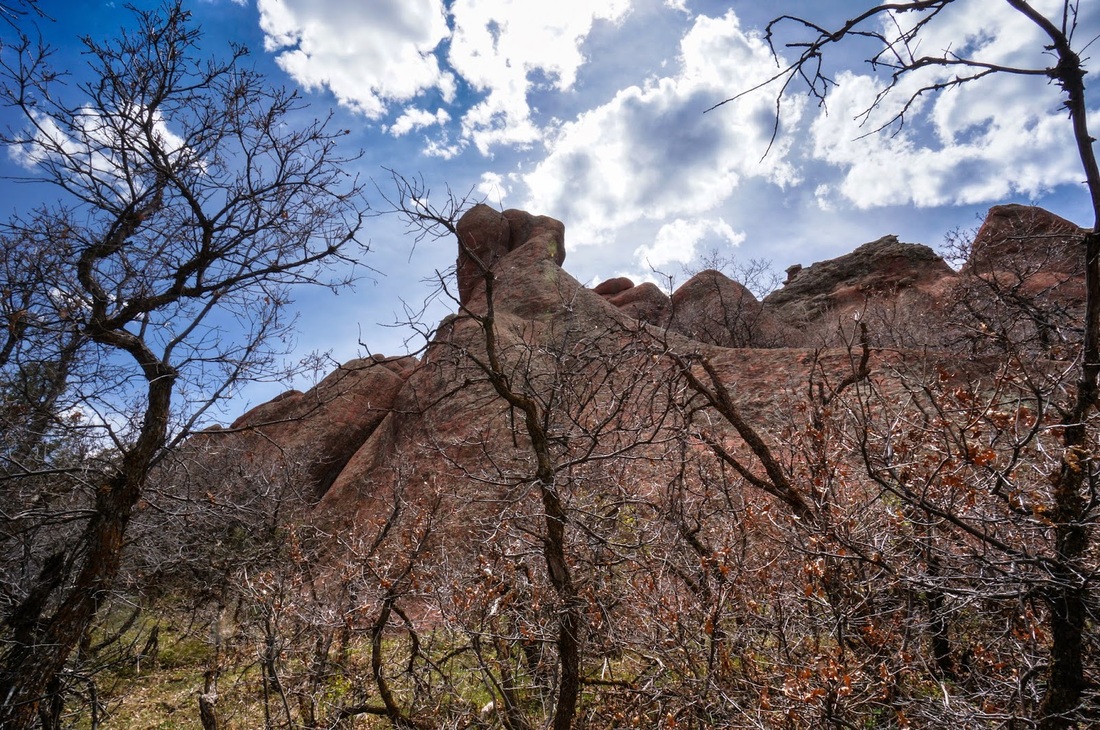
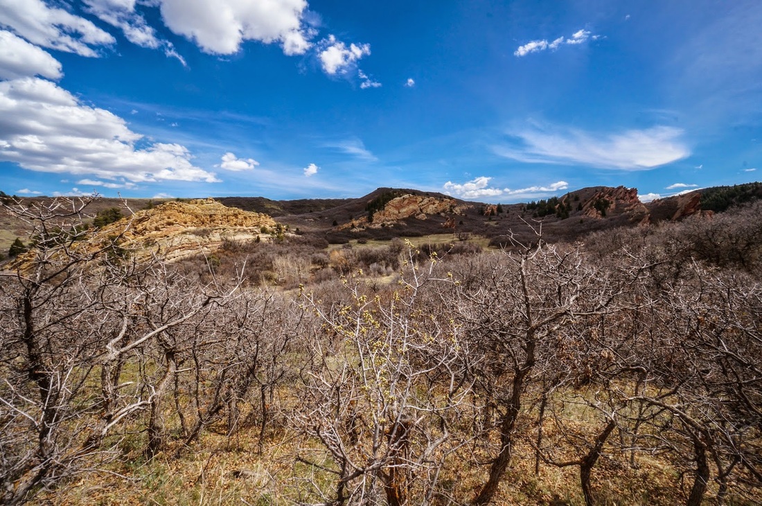
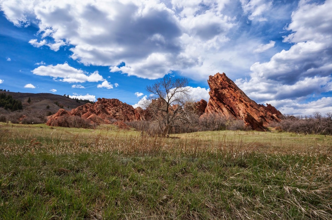
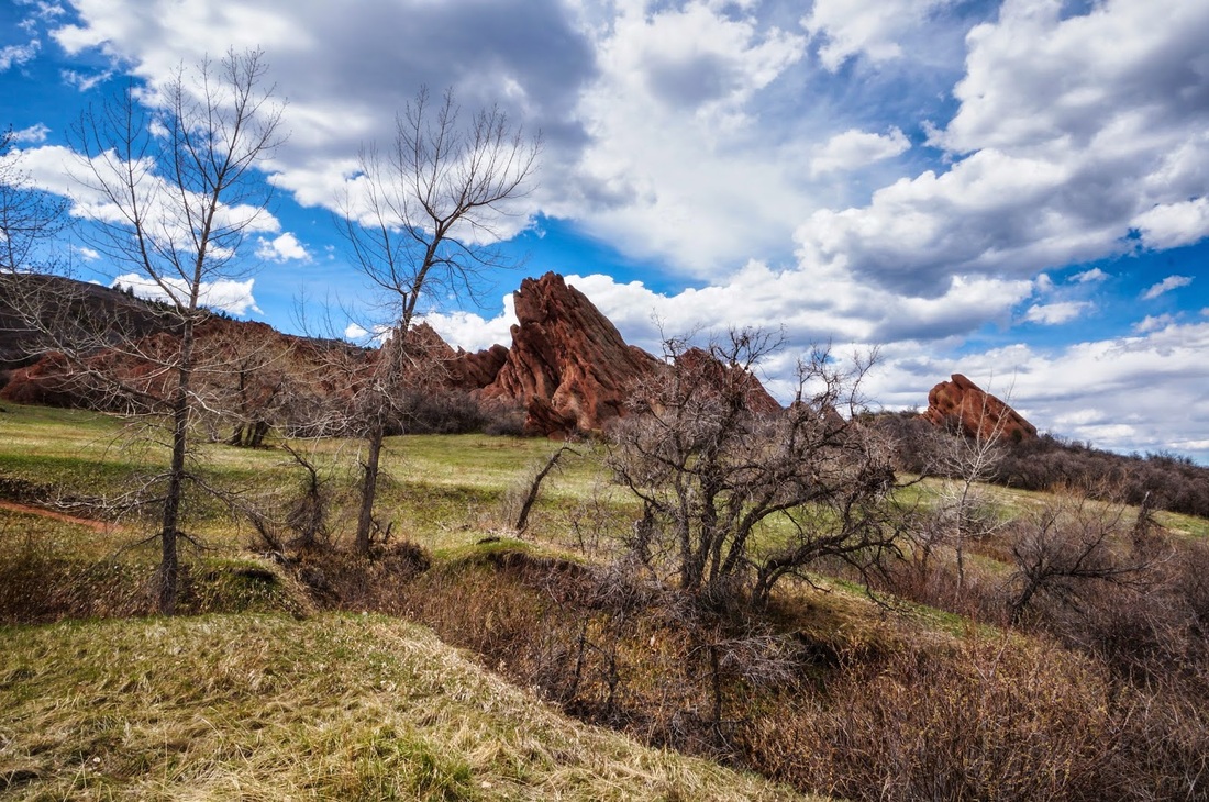
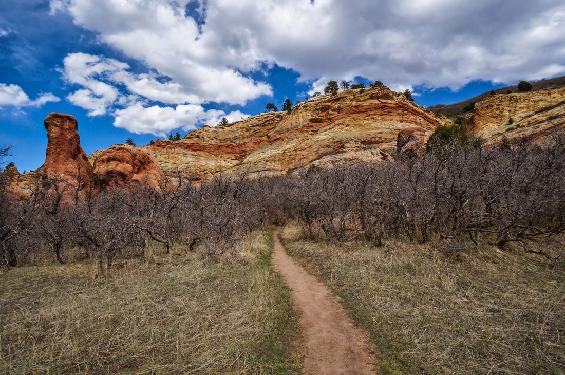
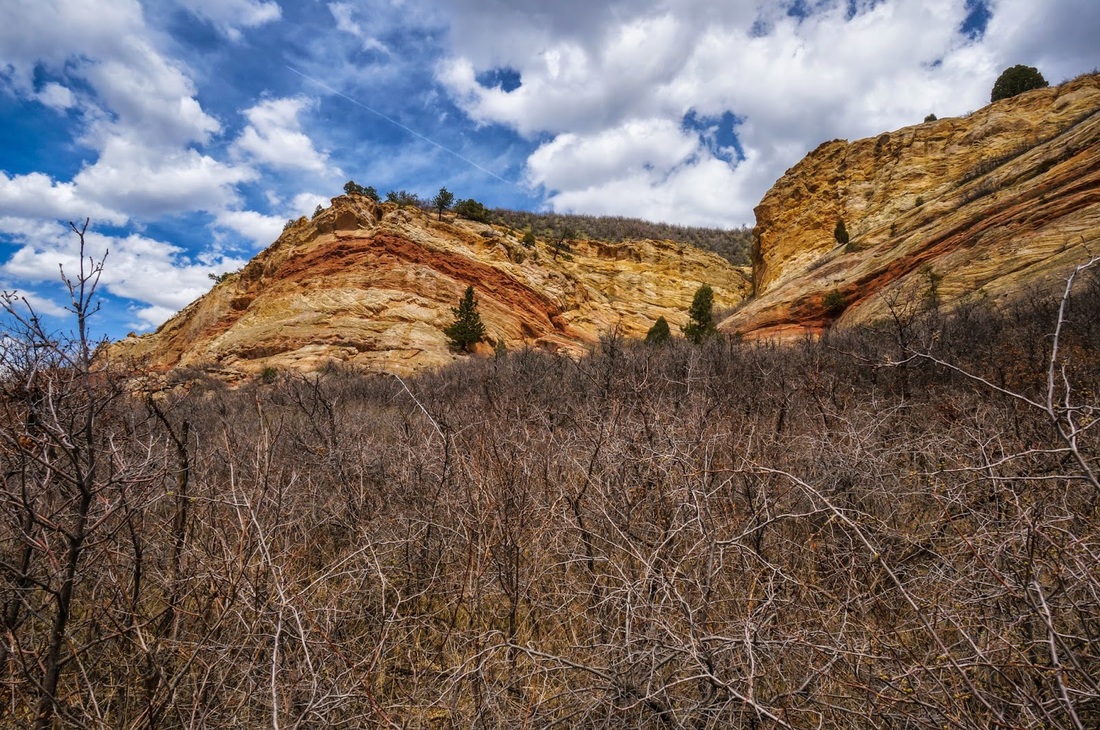
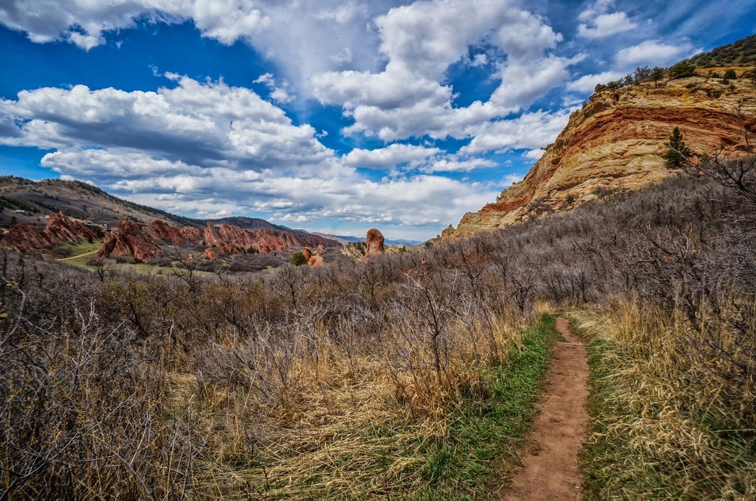
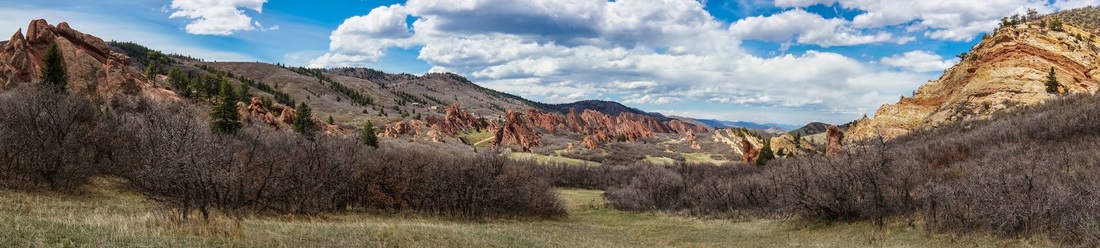
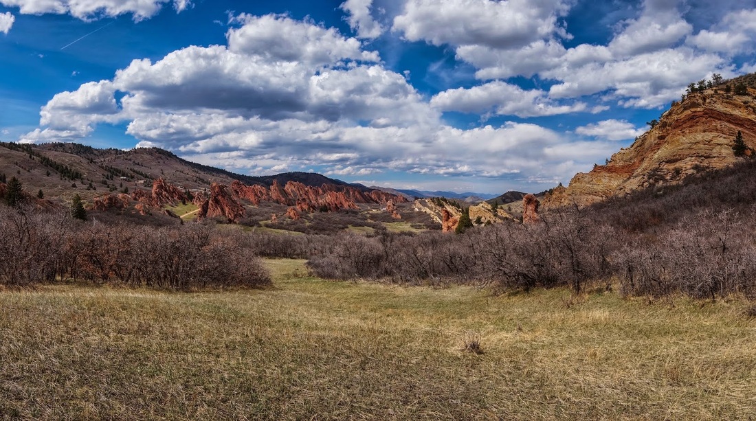
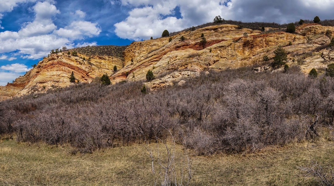
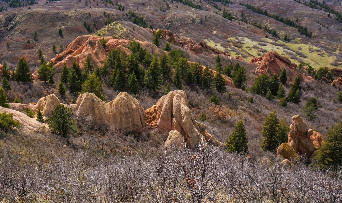
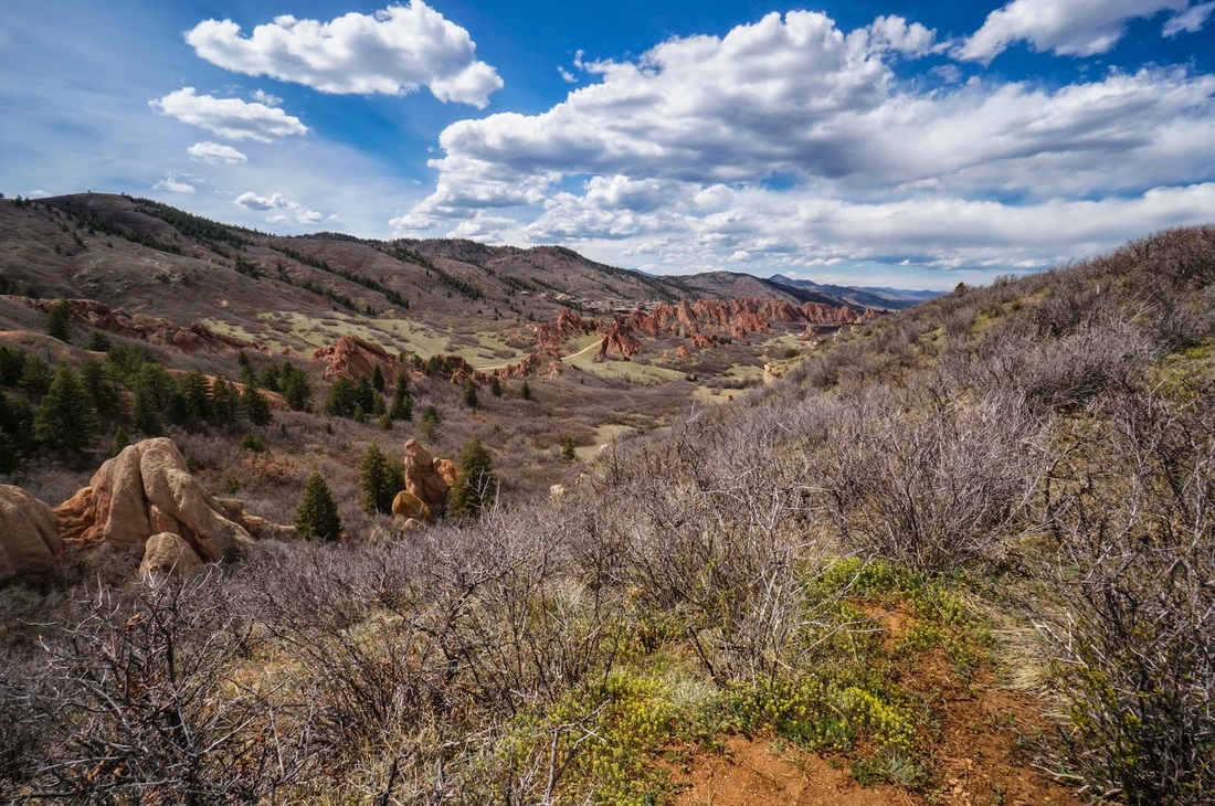
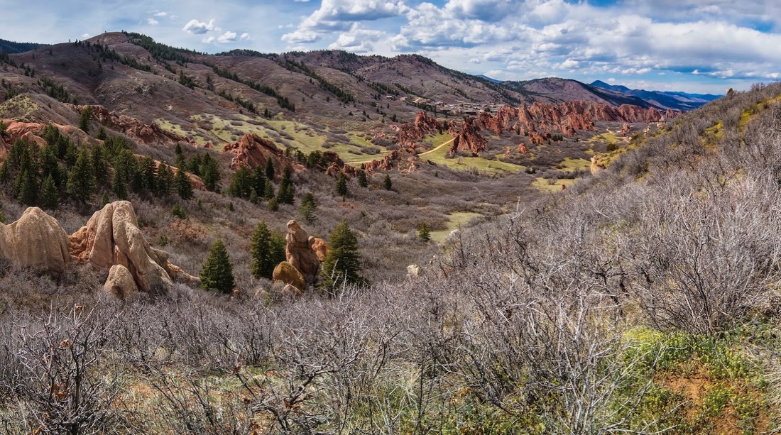
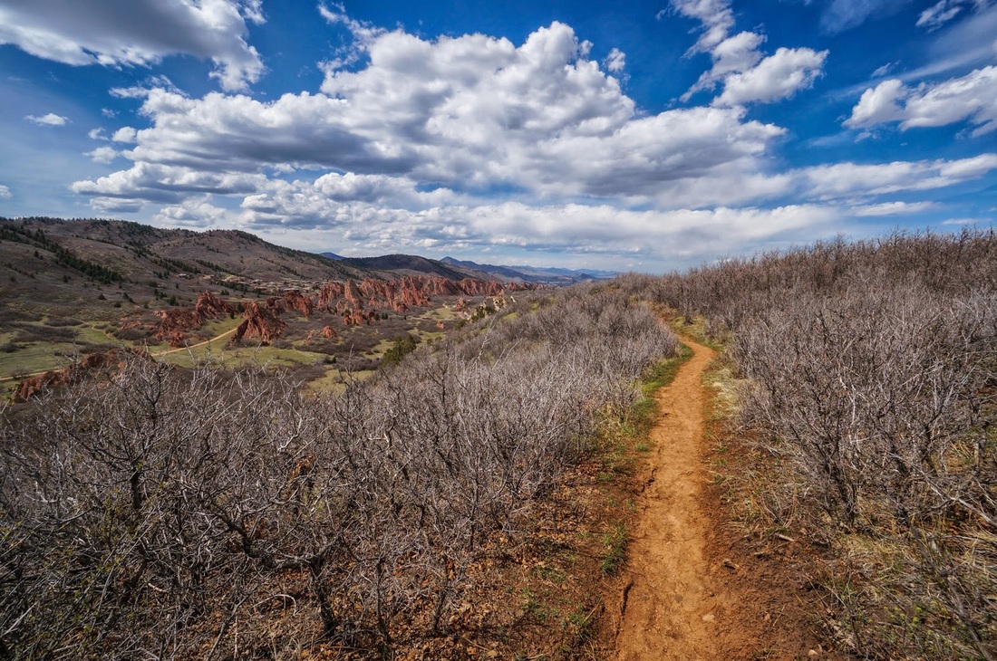
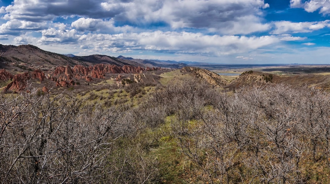
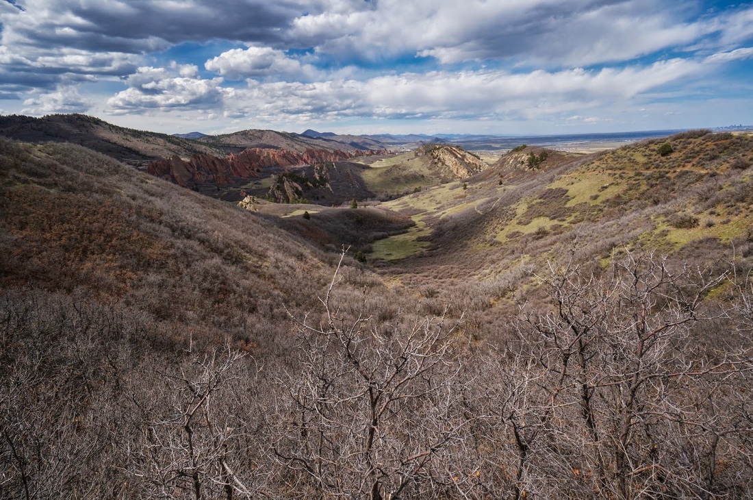
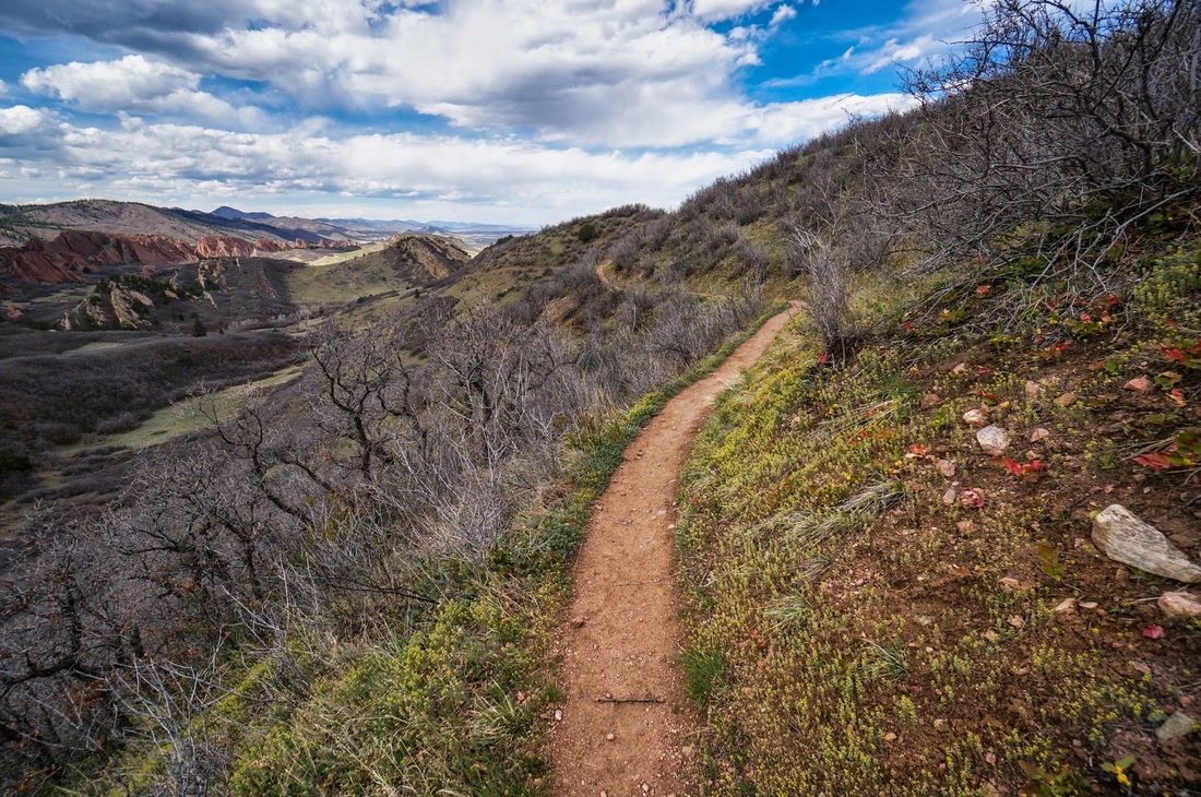
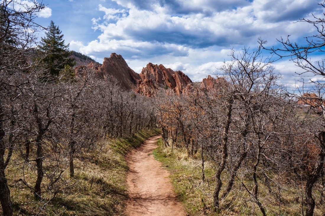
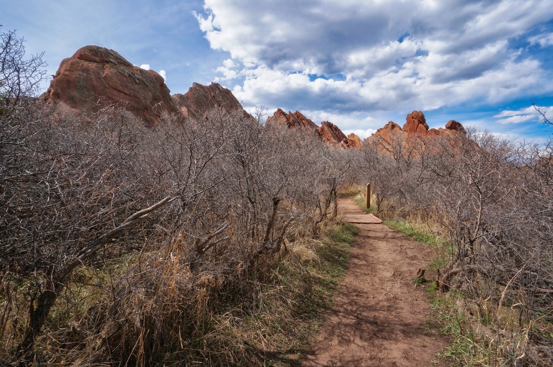
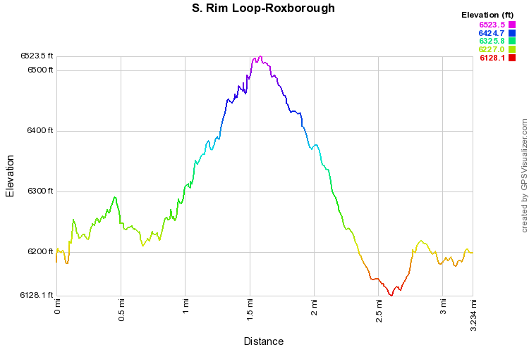
This hike is pretty amazing.  If you have never been to Roxborough before, this should be your first hike.  The view from the top of the South Rim gives you a birds eye view of the entire valley, looking north to Longs Peak in the far distance.  While the view from Carpenter Peak is phenomenal, this view puts it to shame. 

The trail is easy to follow, signs point the way to the South Rim Trail.  The trail will take you through the red rock formations and take you up to the top of the hogback rim for views to the east and west, then back down to the base of the red rocks.  Along the way, you'll weave through evergreen patches and sandstone cliffs...this really has the feeling of being in a National Park.  Although I know it can't compare, I am always reminded of Bryce Canyon when I hike this trail, something about the smell of the pine and the sand on a hot day brings me right back to childhood National Park trips... 

The Fountain Valley trail may have the best rock formations, but the South Rim certainly has it beat with the great view.  Even if the trail is crowded it is still the best way to get to know Roxborough State Park.
Powered by Create your own unique website with customizable templates.