|
|
|
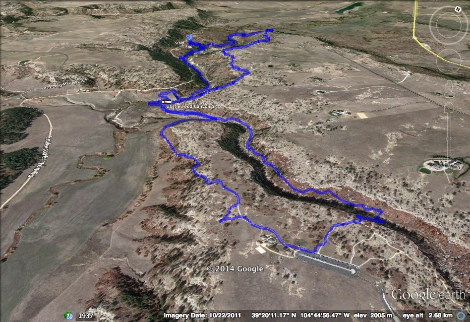
Directions: The hike starts at the Westside Trailhead along Castlewood Canyon Road. This is the back way into the park. From Denver head south on I-25 to Castle Rock. Exit the Founders Parkway exit and take Founders east. Make a left (east) on 5th Street which is Hwy 86 and take this almost all the way to Franktown. Before you reach Franktown, make a right (south) on Castlewood Canyon Road and take it into the park. The trailhead is the Westside Trailhead and has a large parking area.
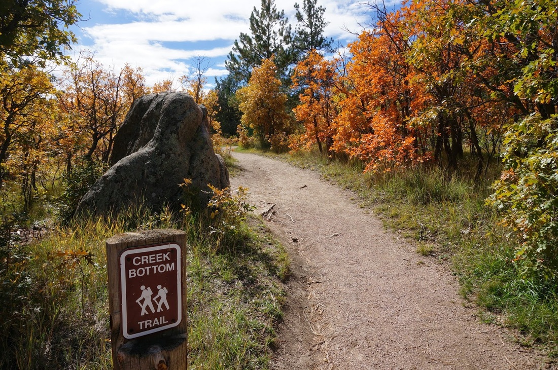
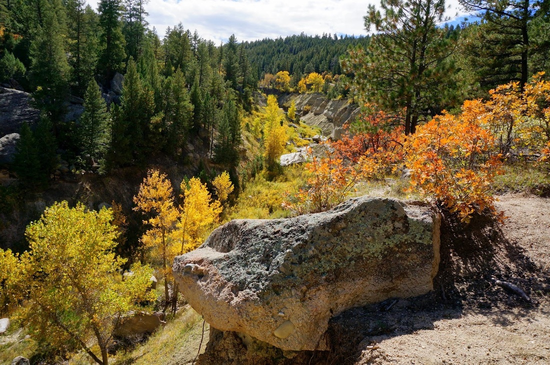
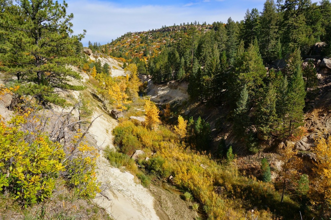
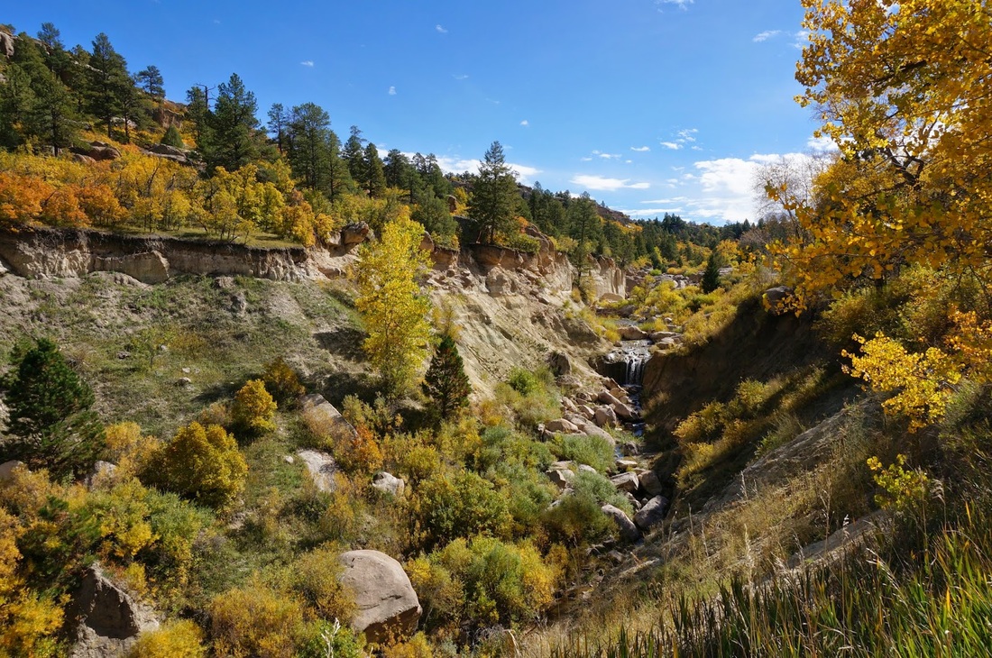
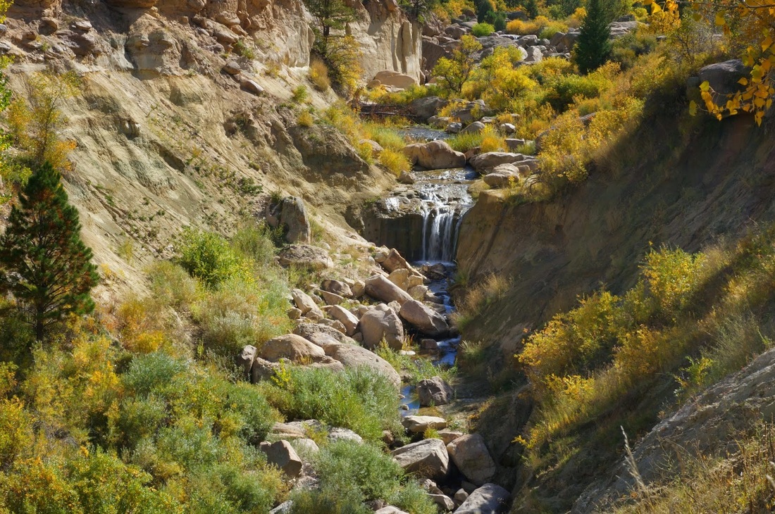
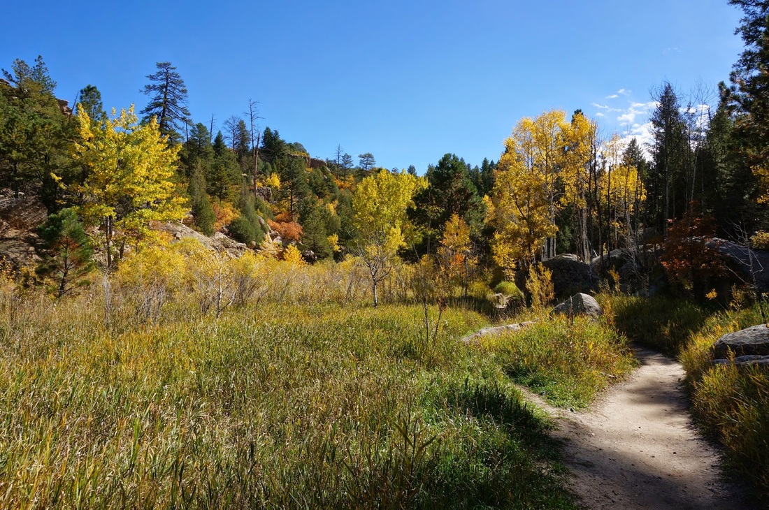
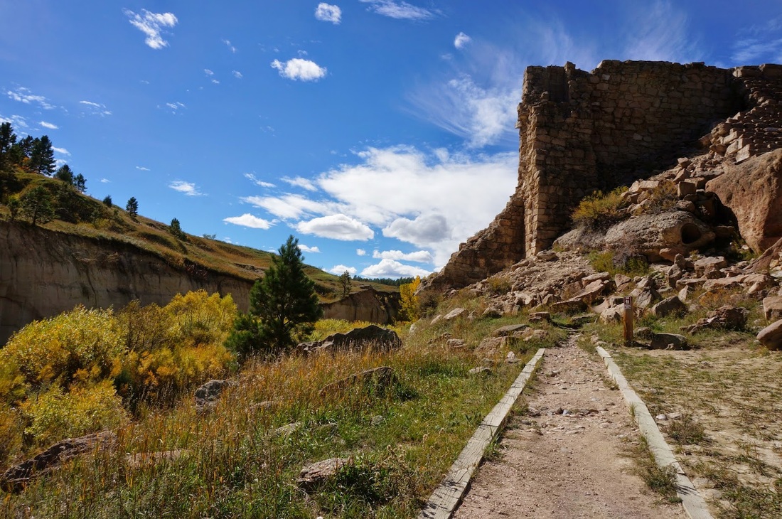
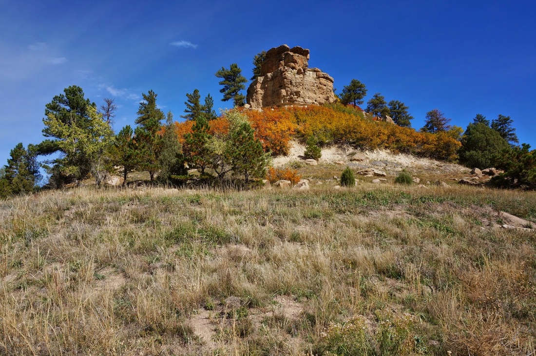
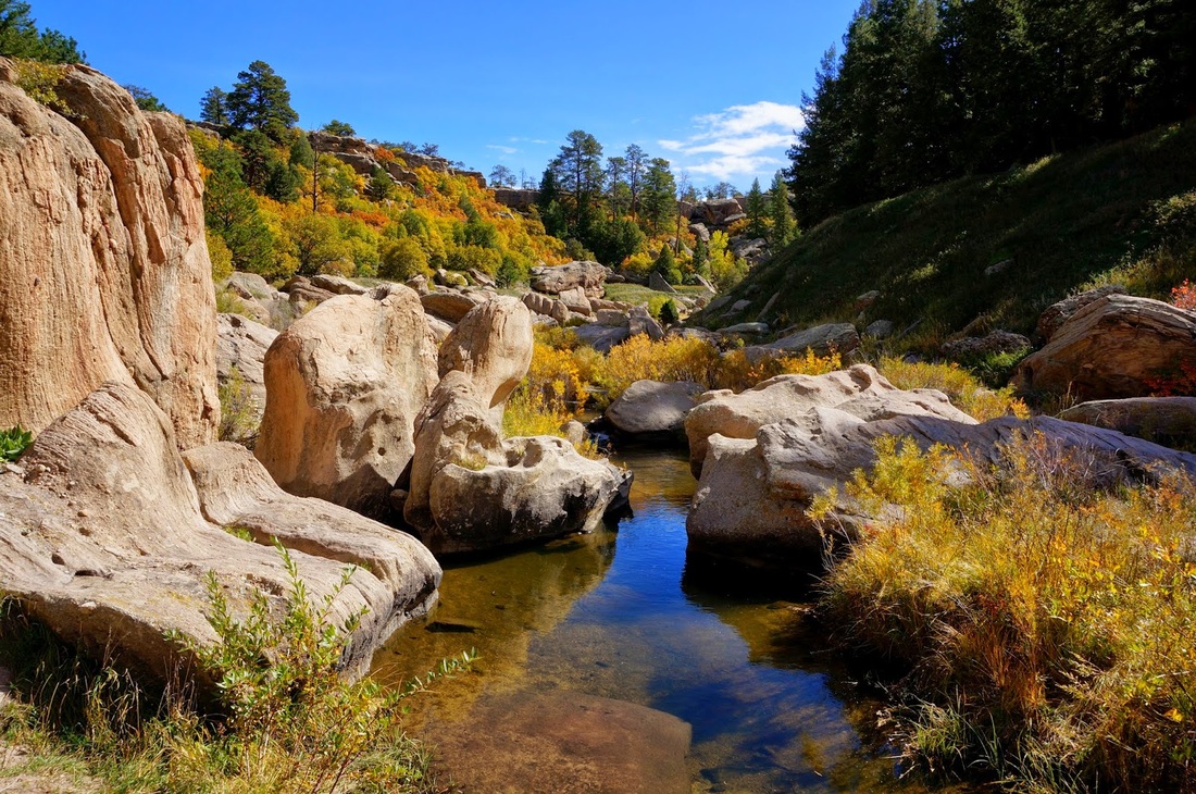
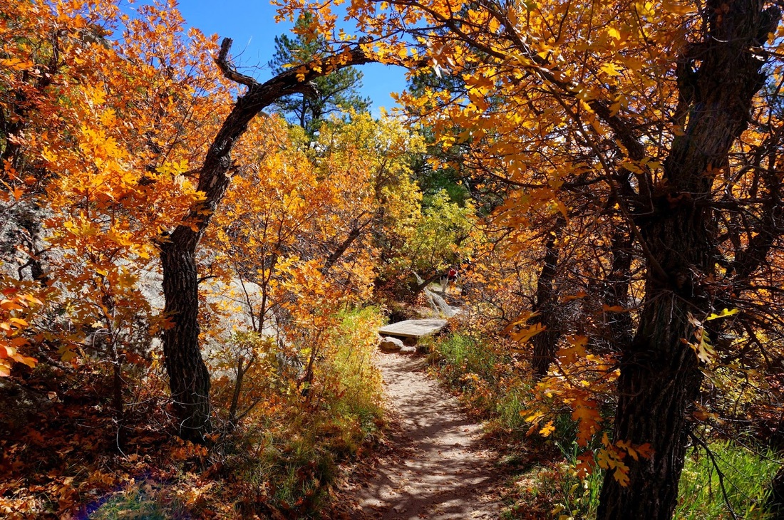
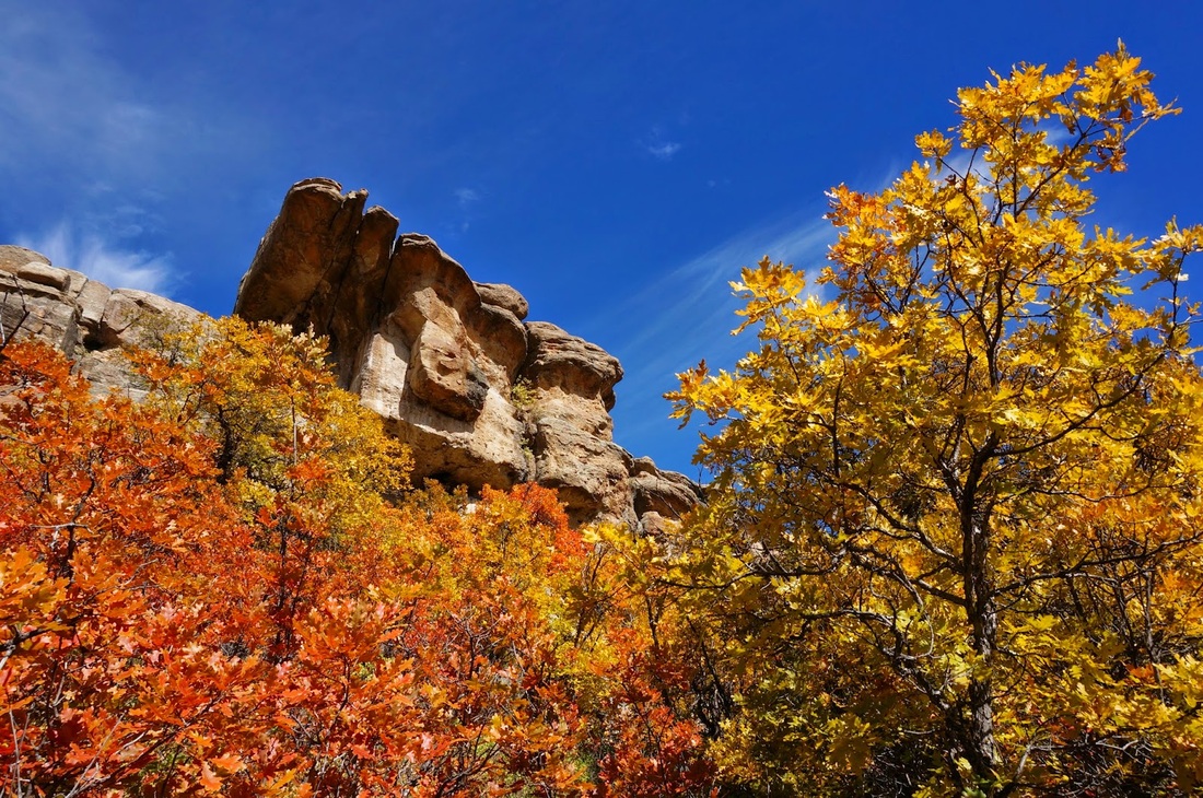
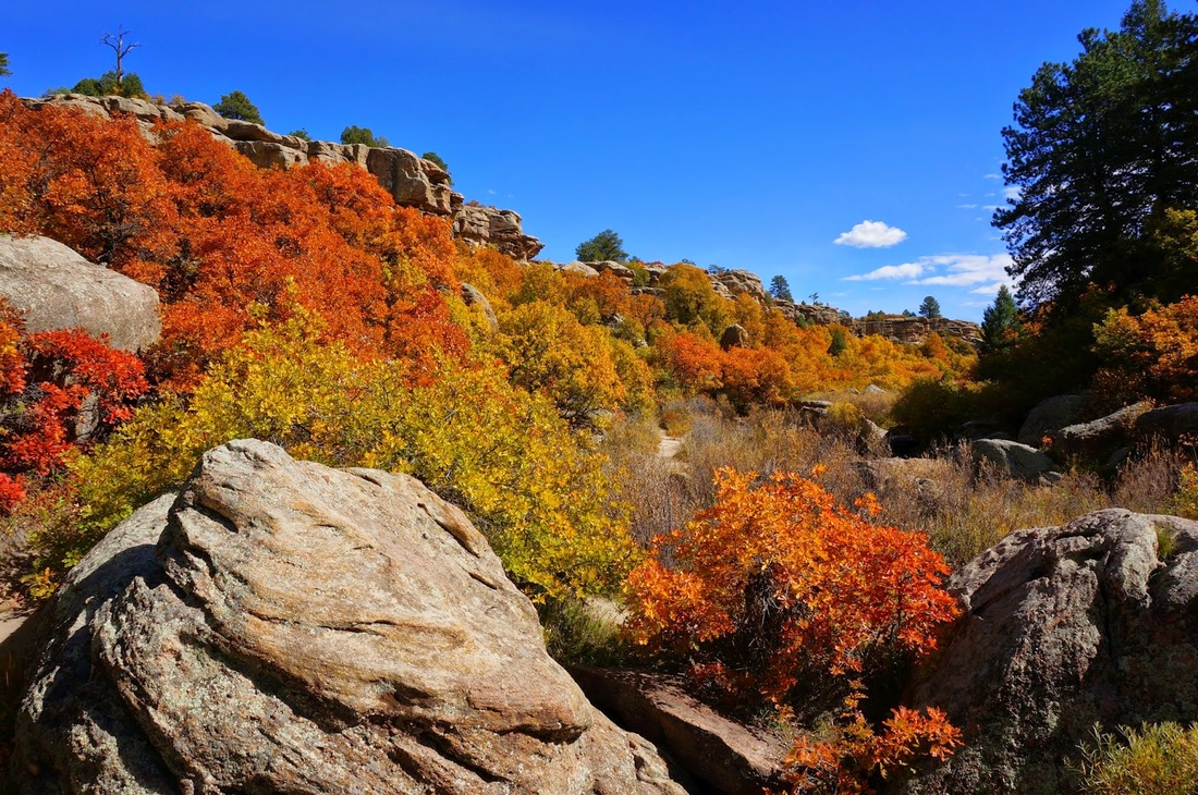
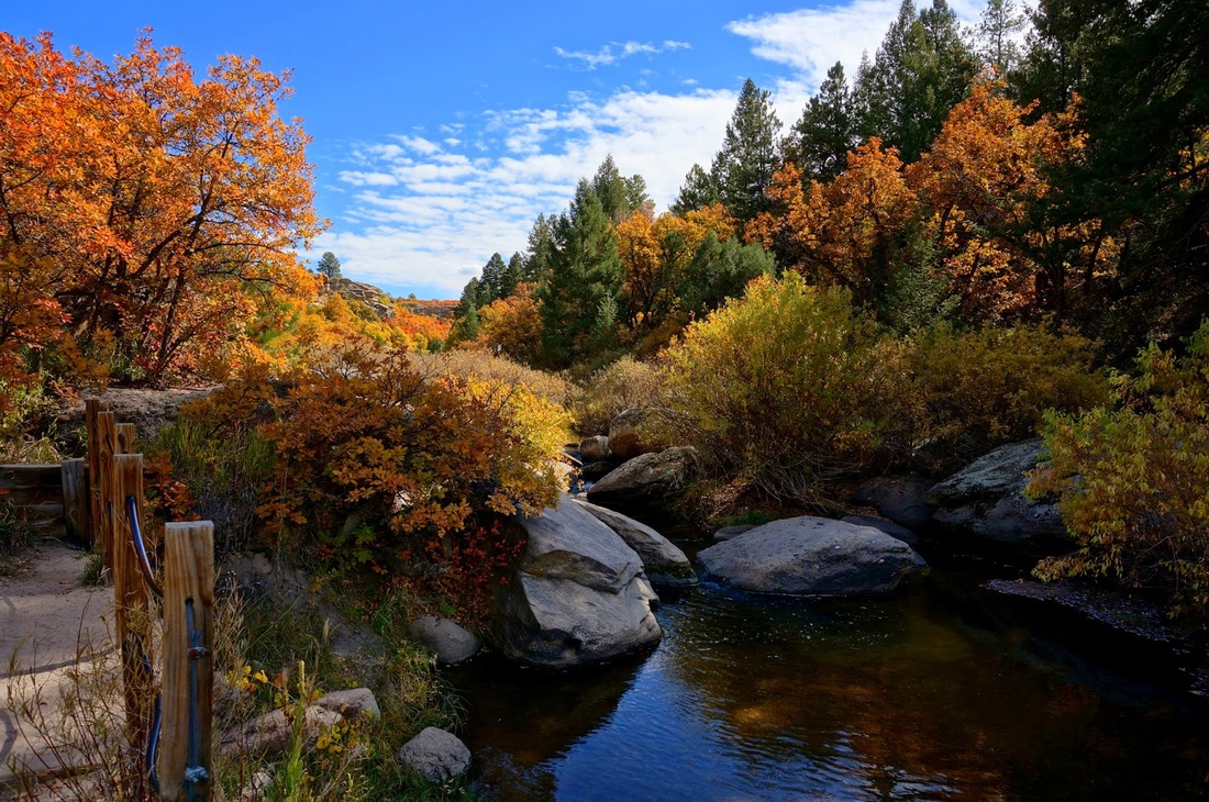
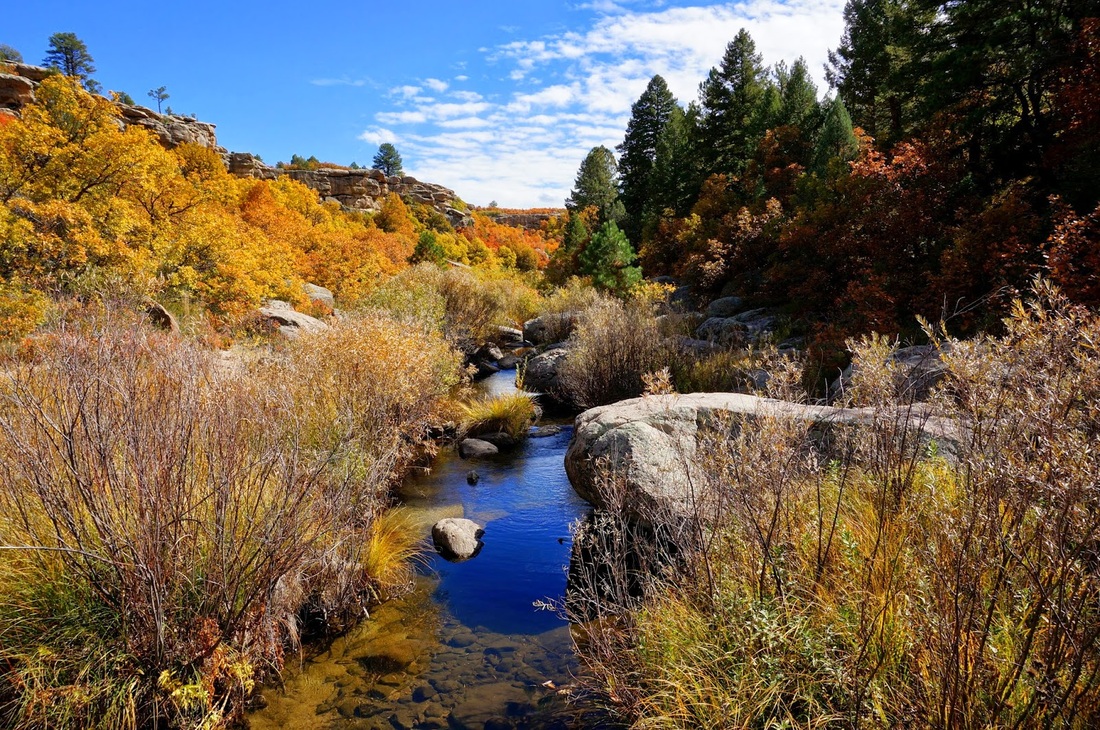
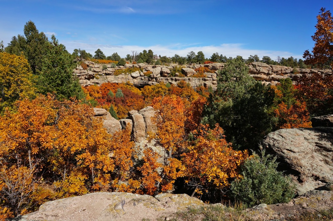
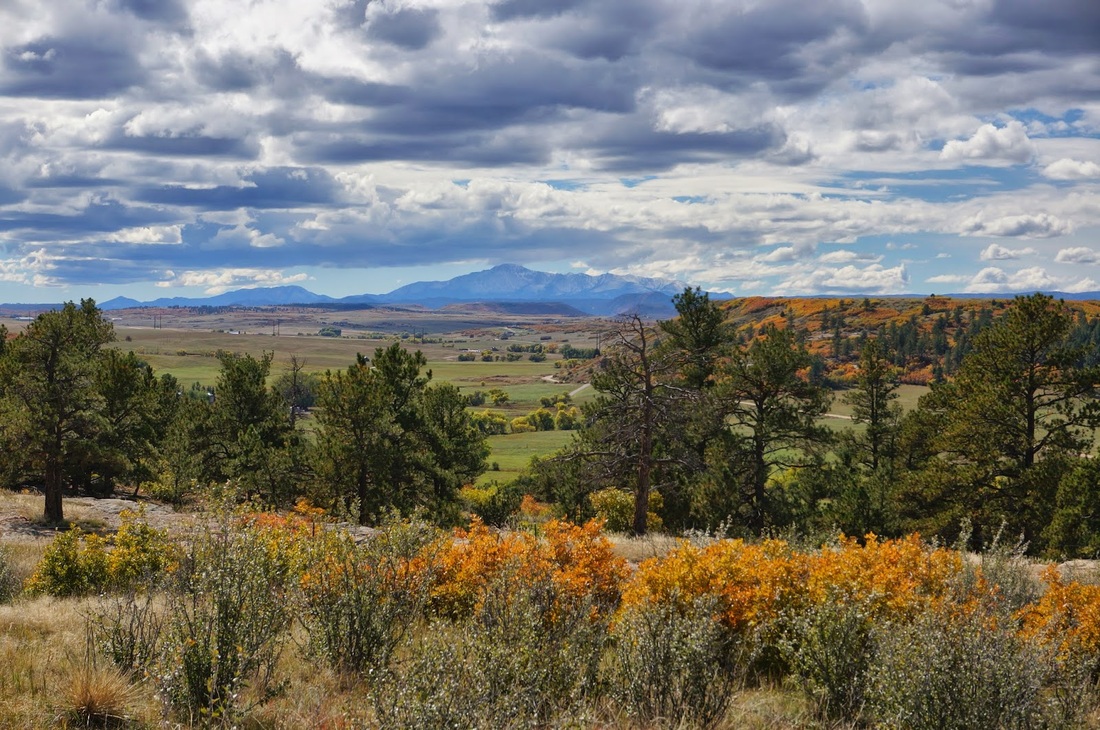
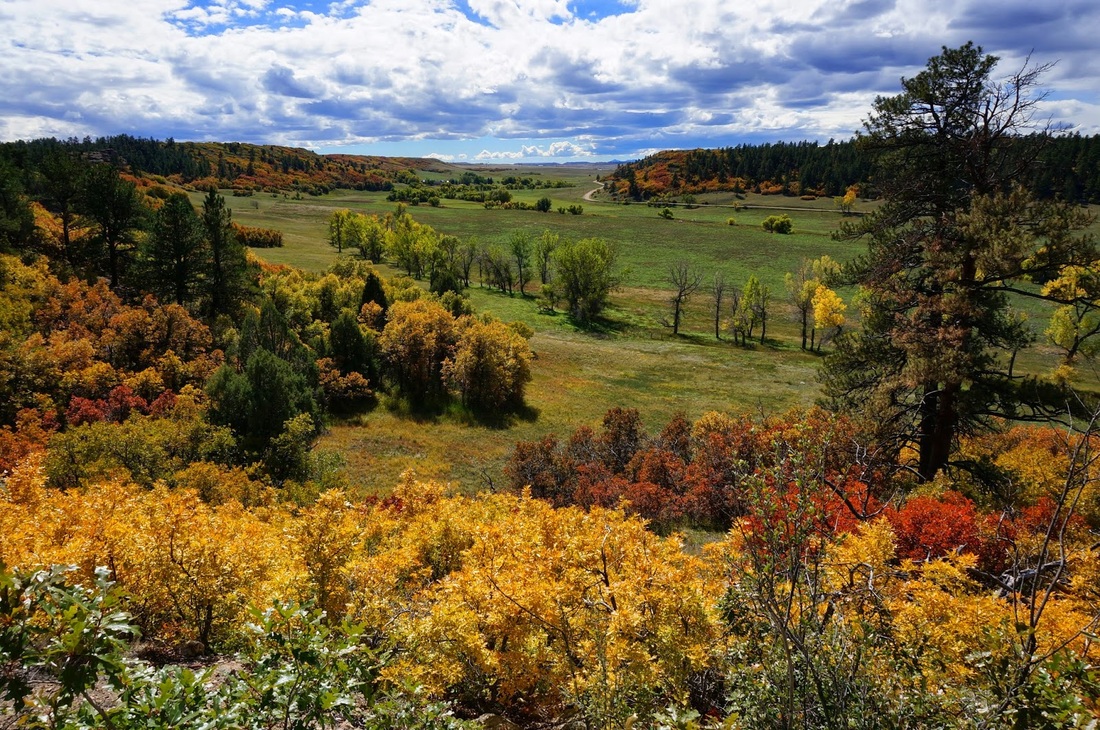
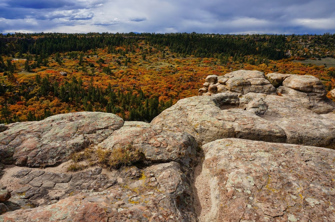
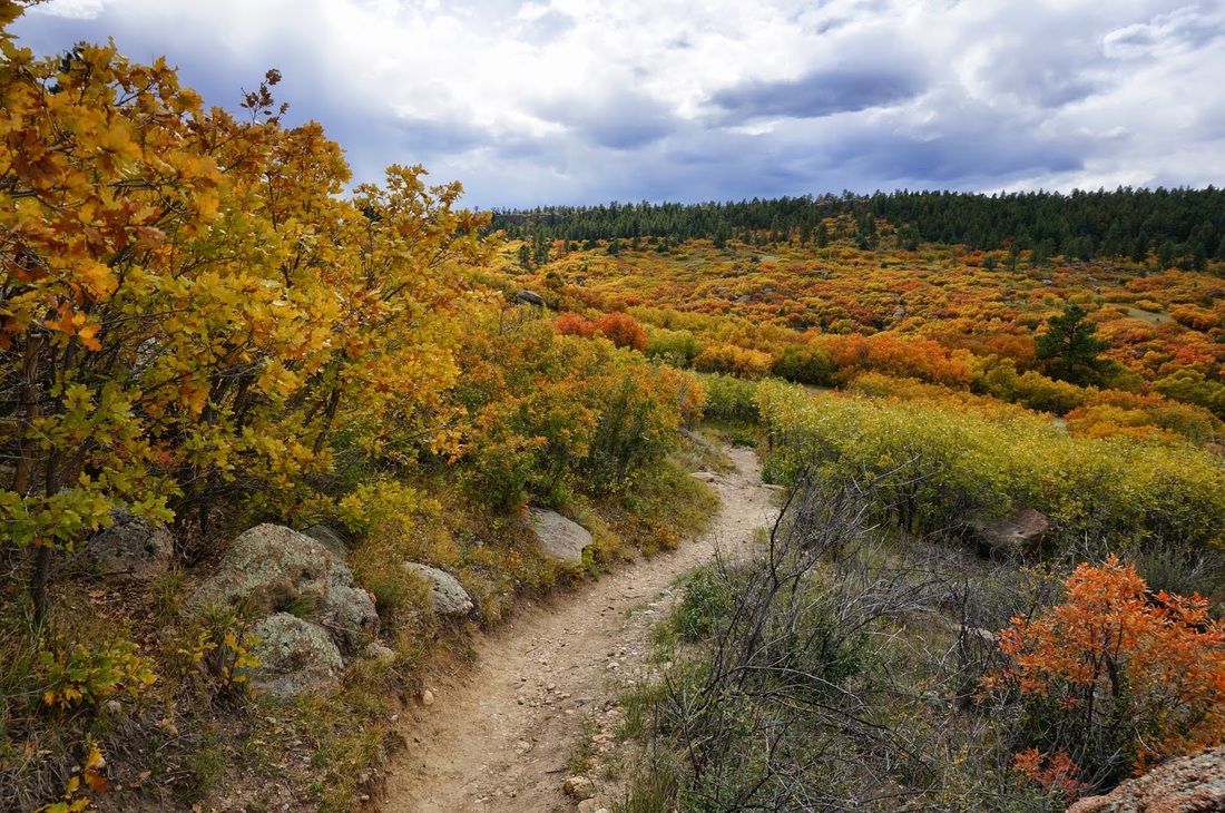
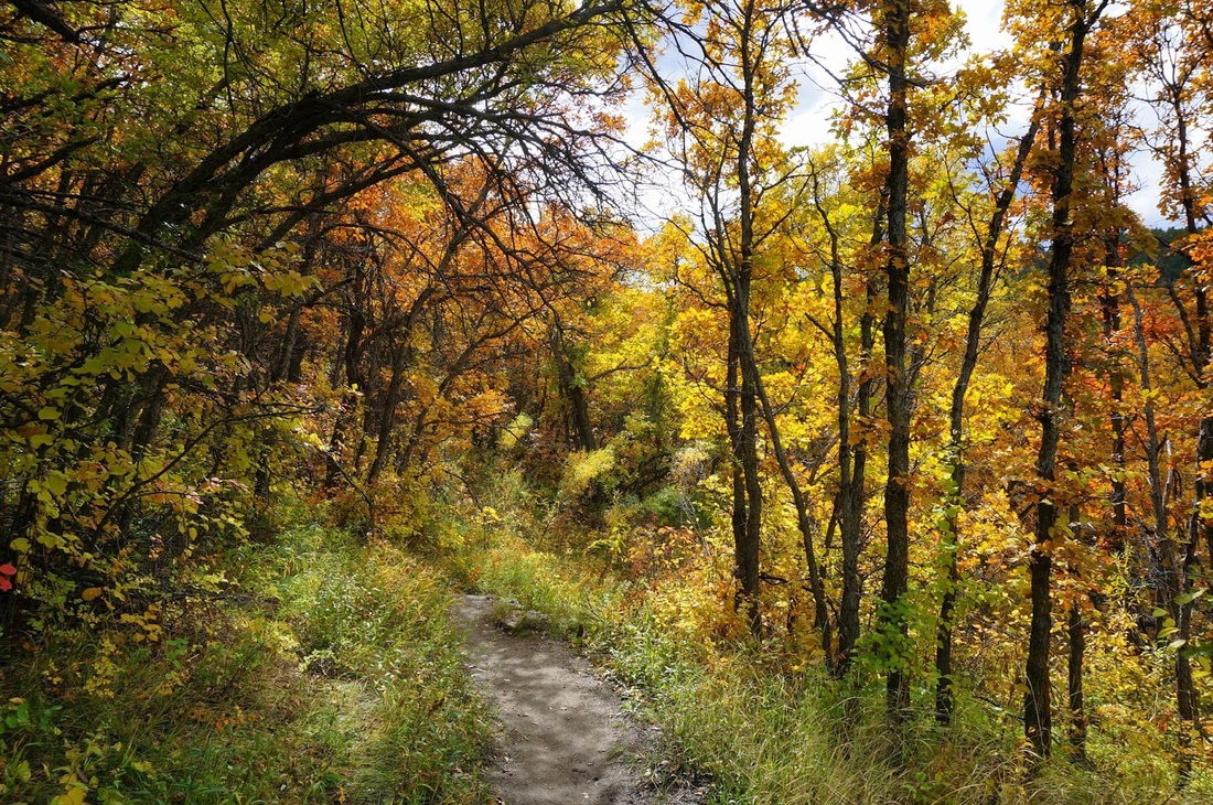
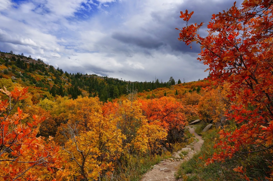
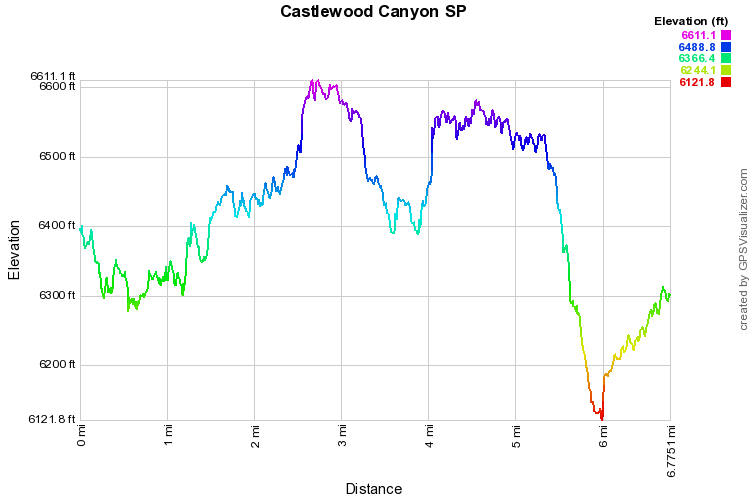
The hike combines the two main canyon loops into one big daddy of a hike. You wouldn't think that you could gain 1,100 feet of elevation by hiking in the plains, but here you start at the Canyon bottom, climb to the ridge, down again, up again, down again, up again, and finally down again. This is a really fun double loop and you see the majority of the park. It is fun in all seasons, but the Fall is spectacular, the colors rival the best Aspen Groves and are a shock the first time you see them. Start at the Westside Trailhead and take the short spur trail down to the Canyon. From here you will walk alongside the canyon and get a good view of the Canyon's Waterfall, in the Spring it is impressive, it's a trickle at most other times. The Creek Bottom Trail follows the floor of the canyon and follows Cherry Creek. The trail is sandy at times but weaves through brush, cottonwoods, and slickrock. Soon you'll be at the infamous Dam Ruins. Here is the spot where during a huge flood in the 1800s the Dam was pulverized by Cherry Creek. Hike up the left side of the dam and down the other side, it is an impressive sight. From here you cross Cherry Creek and come to a four way intersection, head straight on to the Inner Canyon Trail. This trail takes you along the bottom of the second canyon. The foliage and the rock formations in this canyon are wonderful. In the fall, this is where the Reds, Golds, and Greens really shine. Once through the canyon, the trail crosses the creek and heads up the canyon wall. When you top out you'll be at the Visitor's Center and the main parking area for the park. Walk along the paved trail to the Lake Gulch trailhead and head back down to the canyon floor. After a short while you'll be back at the four way intersection, head straight to the Rimrock trail. The Rimrock Trail is the cherry on top of this sunday. It follows the rim of the canyon and gives you incredible views of the canyon itself with the front range peaks off in the distance. Watch your step on the rim, but relish in the views and the rocky trail. After a while the trail will dip back down to the canyon floor, cross cherry creek one more time and take you back to the Westside trailhead. By the end you've gone more than 6 miles and gained more than 1,100 ft of elevation. Quite a hike and quite a surprise. |
|