GO HIKE COLORADO
Get in Touch:
  • HOME
  • ABOUT
  • HIKES BY REGION
    • DENVER AREA >
      • Denver Mountain Parks
      • Jefferson County Open Space
      • Lakewood Parks
      • Denver Area Greenways
    • BOULDER AREA
    • DOUGLAS COUNTY
    • FORT COLLINS AREA
    • COLORADO SPRINGS AREA
    • FRONT RANGE
    • TENMILE & MOSQUITO RANGES
    • GORE RANGE
    • SANGRE DE CRISTO MOUNTAINS
    • PARK RANGE
    • SAWATCH RANGE
    • ELK MOUNTAINS
    • SAN JUAN MOUNTAINS
    • THE FLAT TOPS
    • GRAND MESA
    • COLORADO PLATEAU
    • EASTERN PLAINS
  • NATIONAL PARK HIKES
    • BENT'S OLD FORT NATIONAL HISTORIC SITE
    • BLACK CANYON OF THE GUNNISON NATIONAL PARK
    • COLORADO NATIONAL MONUMENT
    • CURECANTI NATIONAL RECREATION AREA
    • DINOSAUR NATIONAL MONUMENT
    • FLORISSANT FOSSIL BEDS NATIONAL MONUMENT
    • MESA VERDE NATIONAL PARK
    • ROCKY MOUNTAIN NATIONAL PARK
    • GREAT SAND DUNES NATIONAL PARK
    • HOVENWEEP NATIONAL MONUMENT
    • SAND CREEK MASSACRE NATIONAL HISTORIC SITE
    • YUCCA HOUSE NATIONAL MONUMENT
  • HIKES BY CATEGORY
    • HIKES TO ALPINE LAKES
    • HIKES TO PEAKS & PASSES
    • HIKES THROUGH CANYONS
    • HIKES WITH FALL COLORS
    • HIKES ALONG THE I-70 CORRIDOR
    • HIKES ON PAVED TRAILS
    • HIKES FOR KIDS
    • HIKES TO WATERFALLS
    • HIKES ALONG RIVERS
    • HIKES WITH ROCK FORMATIONS
    • HIKES WITH WILDFLOWERS
    • WINTER HIKES
  • NEWS
  • WEBCAMS
  • $UPPORT GHC
  • INTERACTIVE MAP

Bluffs Regional Park
Loops and Overlooks

  • Date Hiked: April 7, 2019

  • Distance: 3.7 mi (RT)
  • Elevation Gain: 388ft
  • Min/Max Elevation: 6,032 to 6,269 ft
  • Trailhead Lat/Long: 39º 31' 42" N; 104º 53' 12" W
  • Managing Agency:  Douglas County Open Space
  • Fee: None

Bluffs Regional Park Trail Map
Picture

Directions:  From Denver, take I-25 south to Lincoln Ave.  Head west on Lincoln Ave and turn left (south) onto RidgeGate Parkway.  Make a right on Crooked Stick Trail and follow the road to the end and the trailhead.

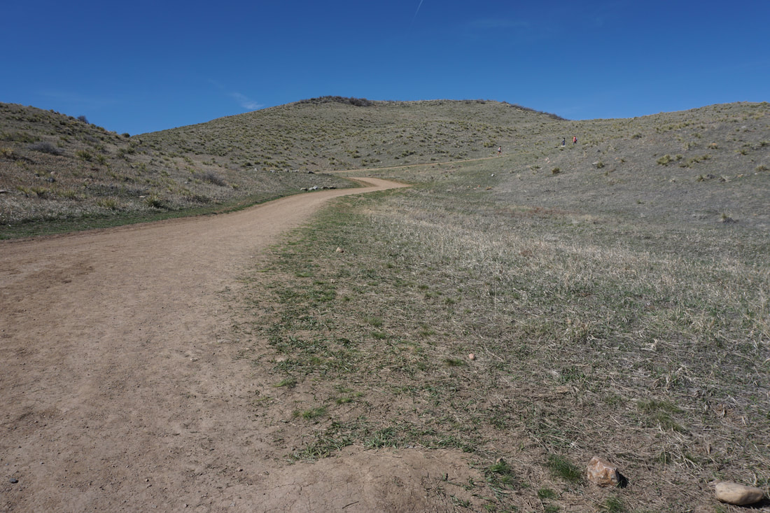
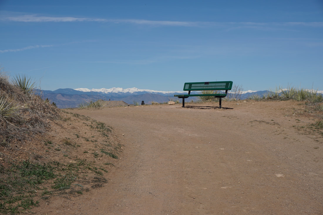
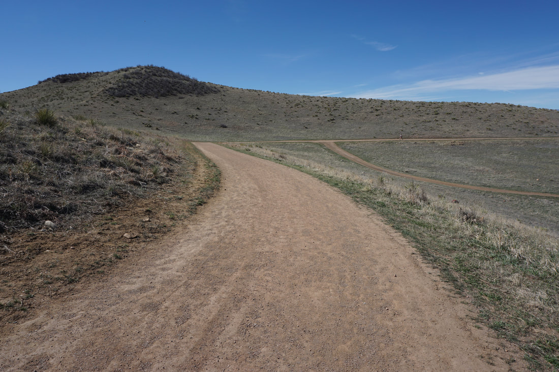
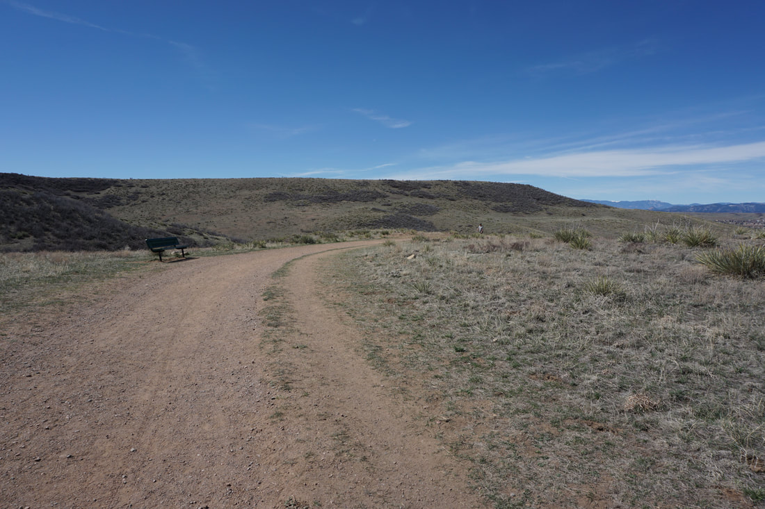
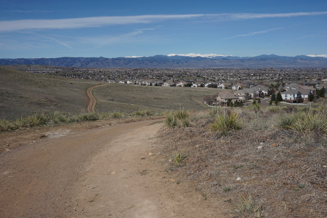
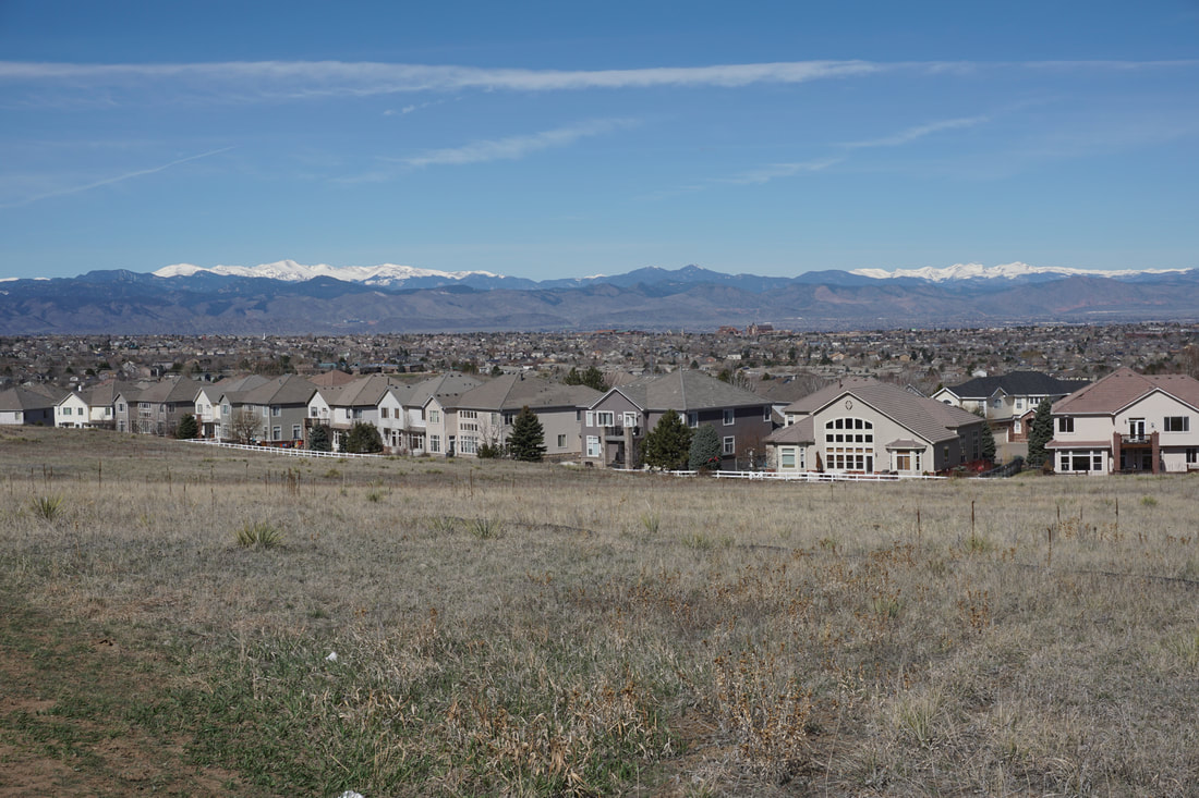
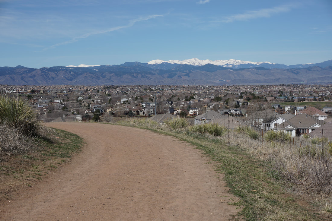
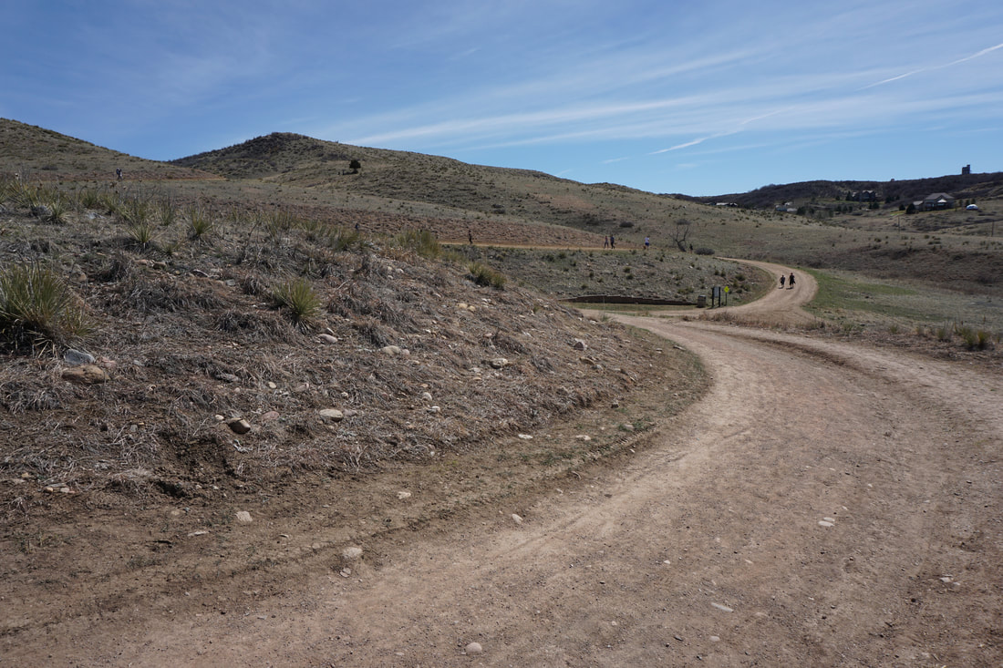
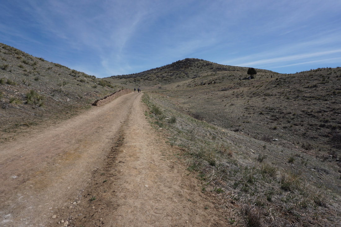
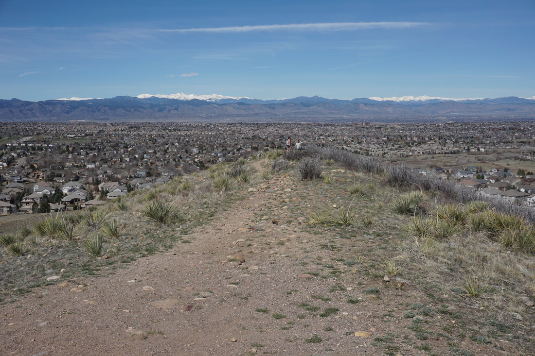
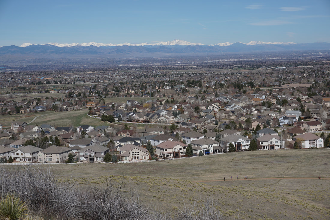
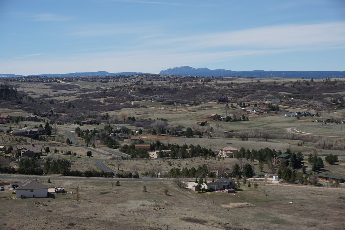
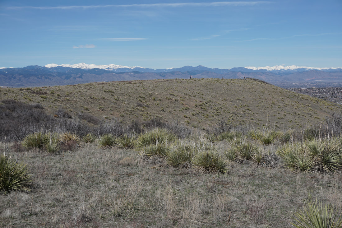
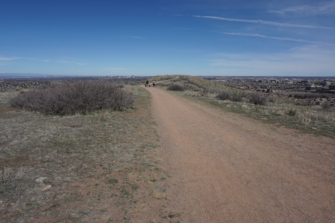
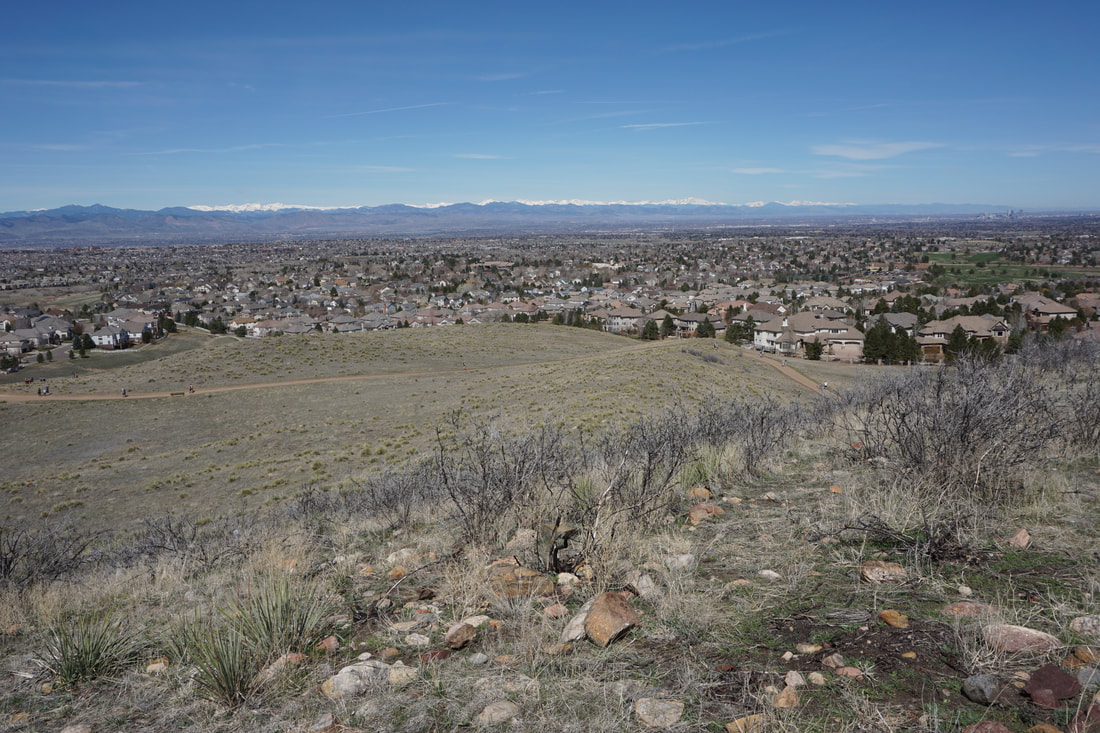
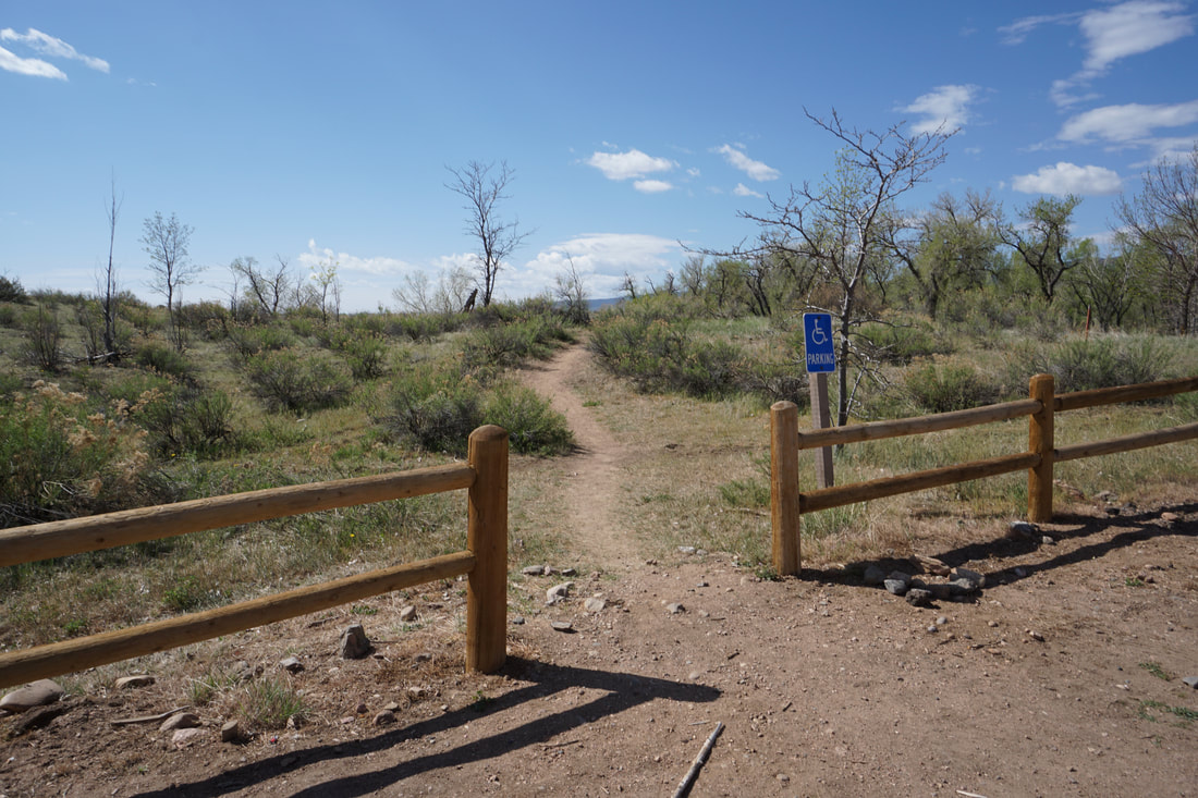
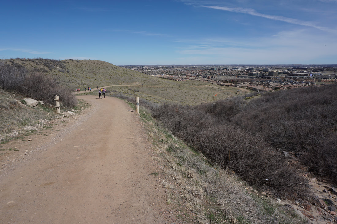
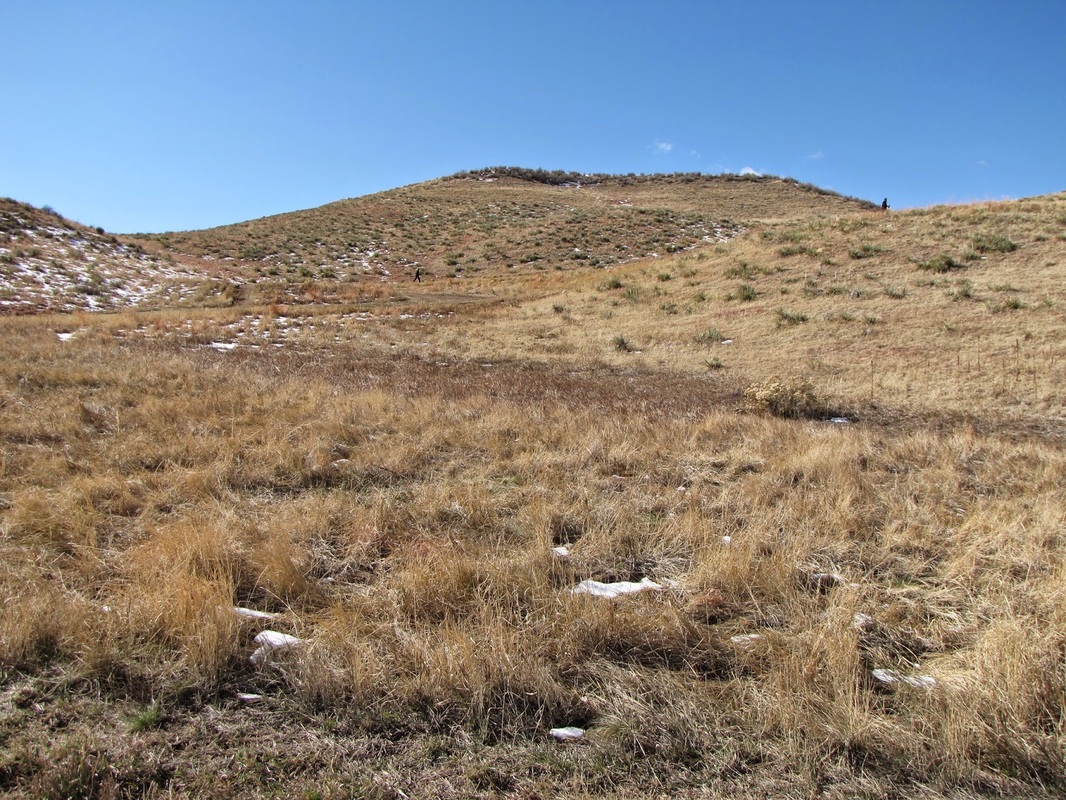
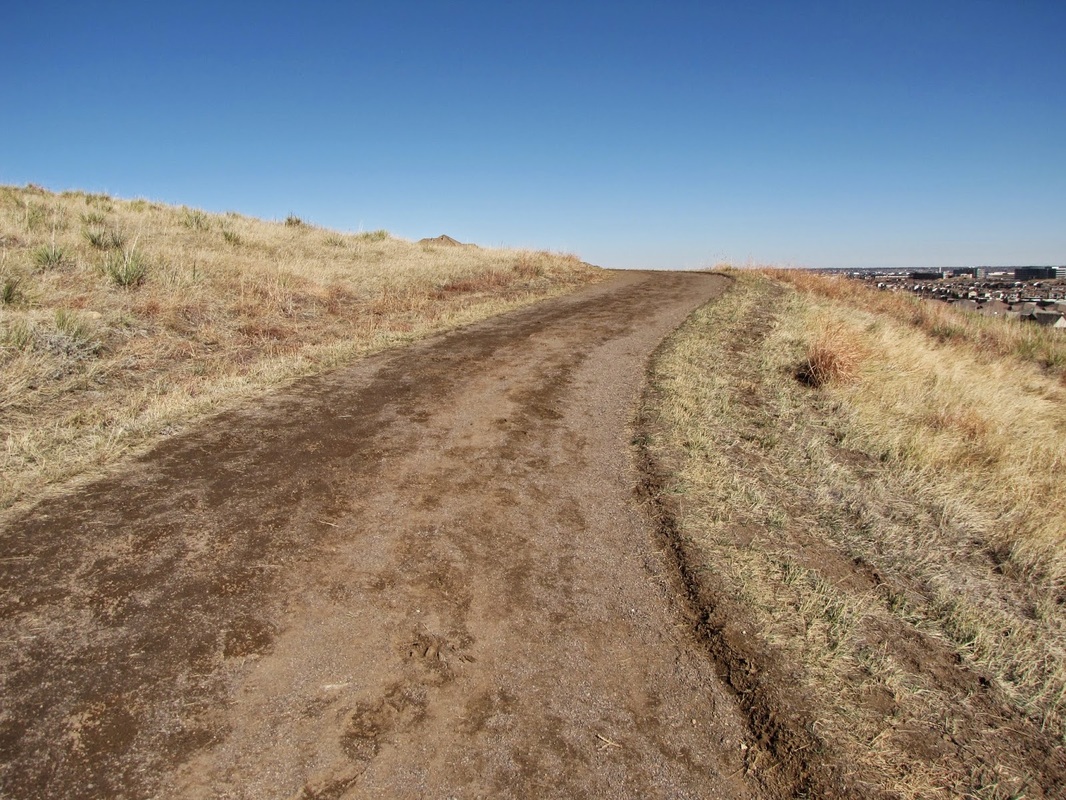
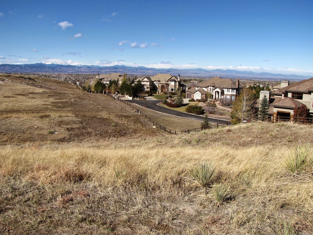
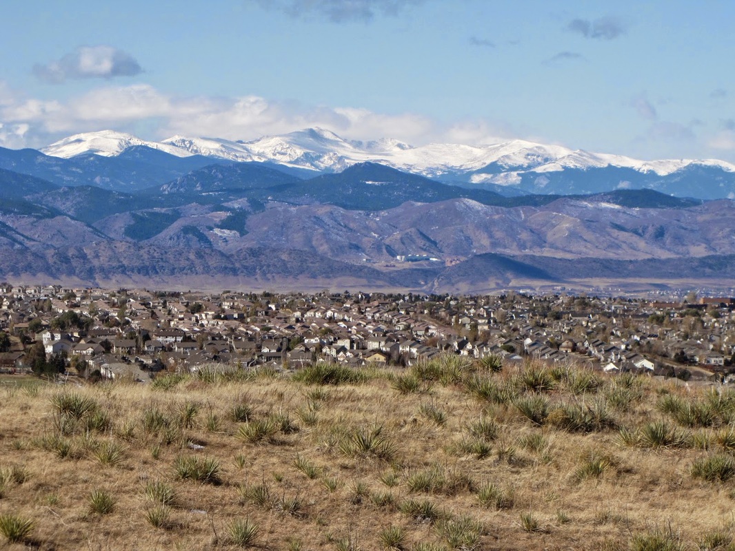
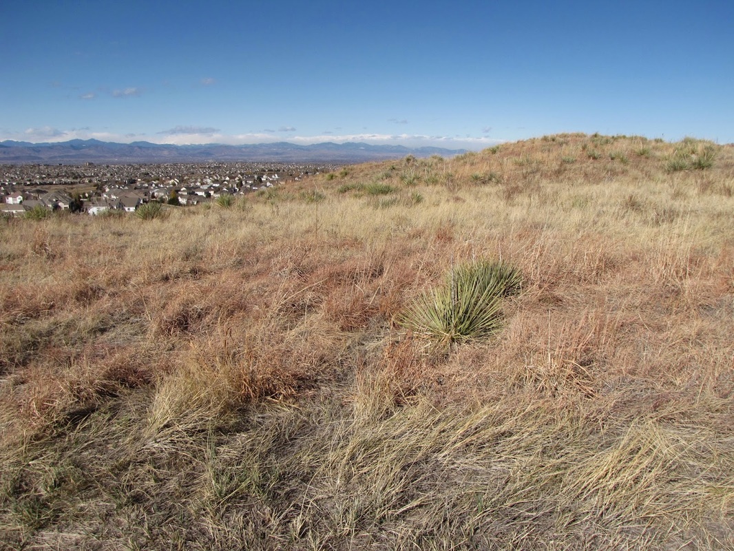
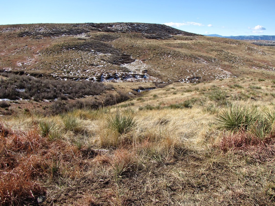
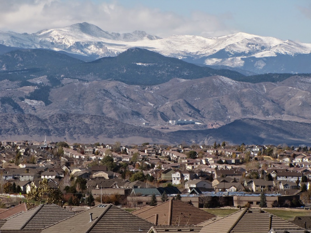
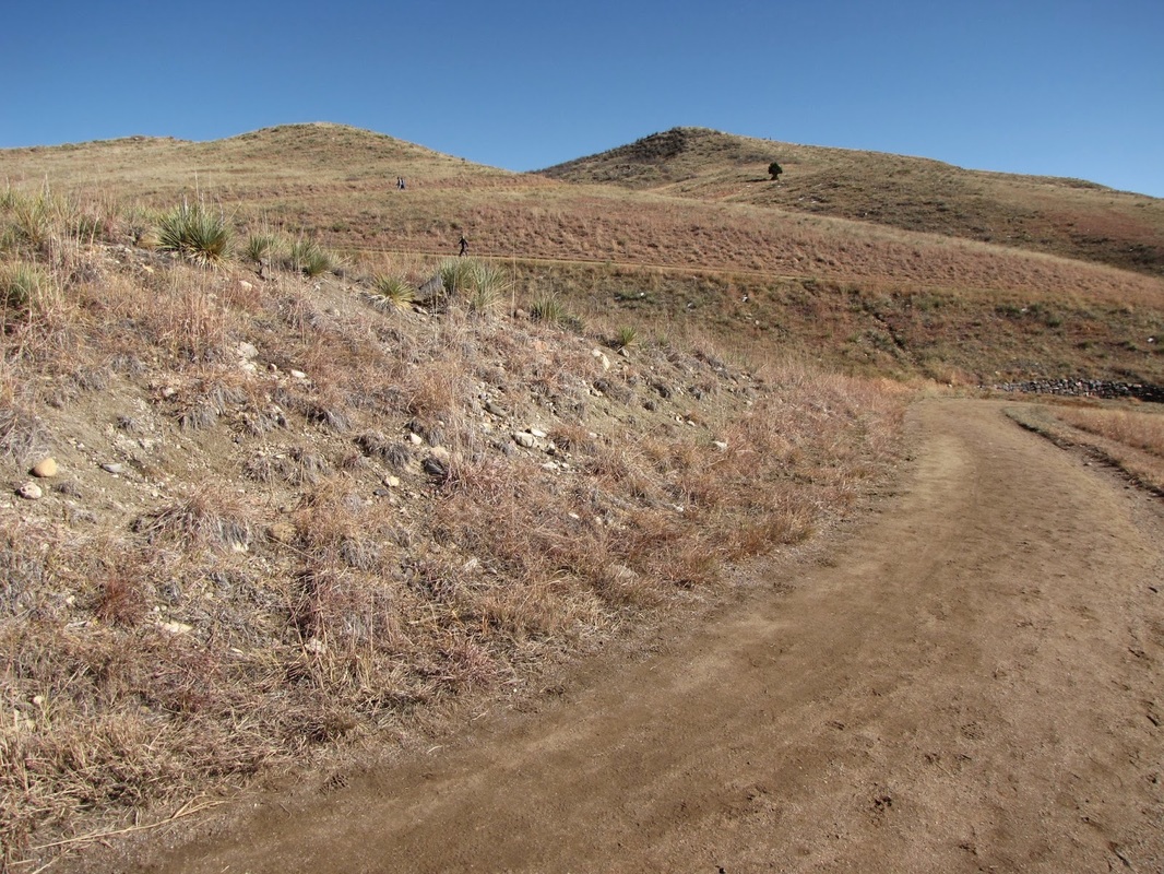
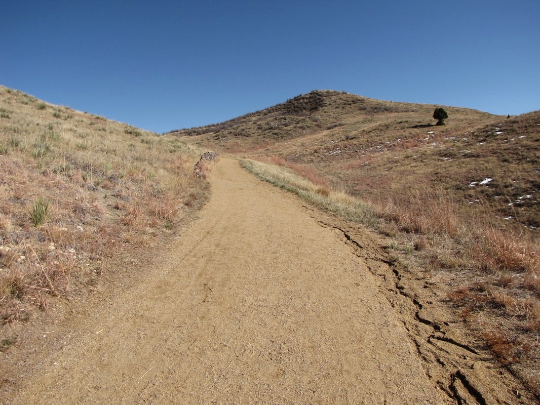
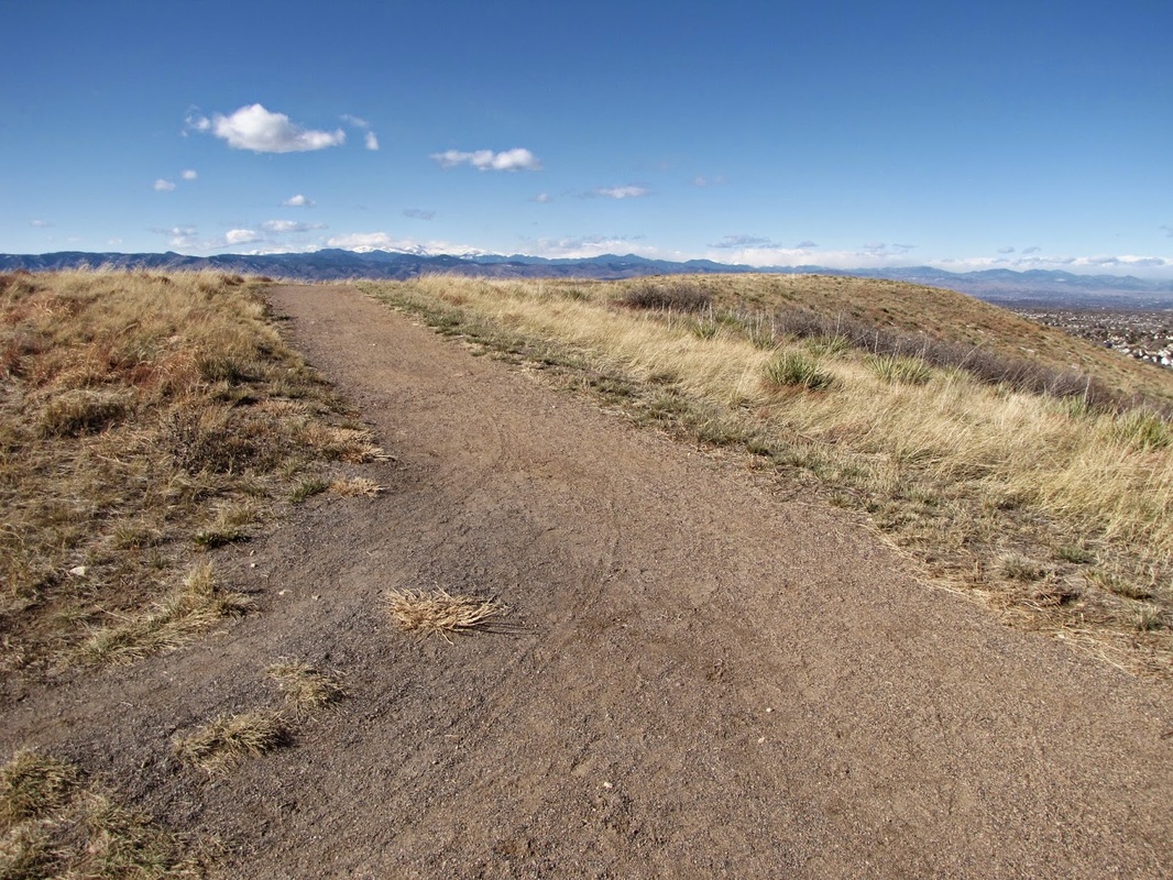
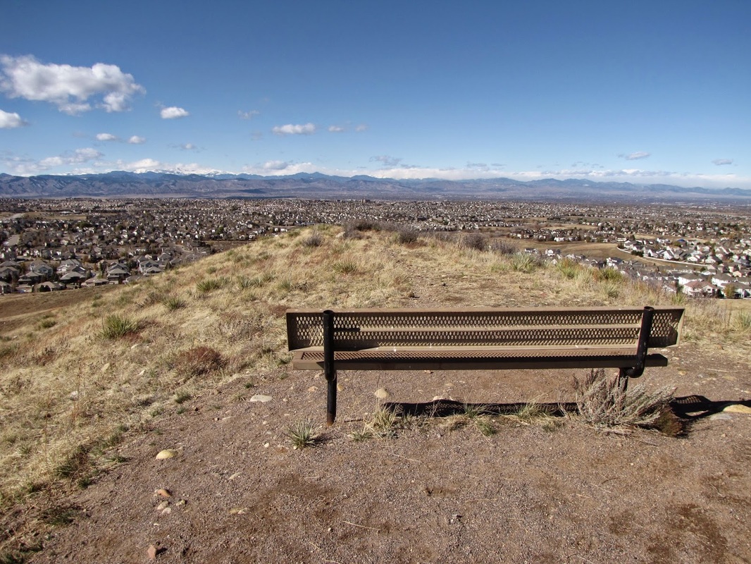
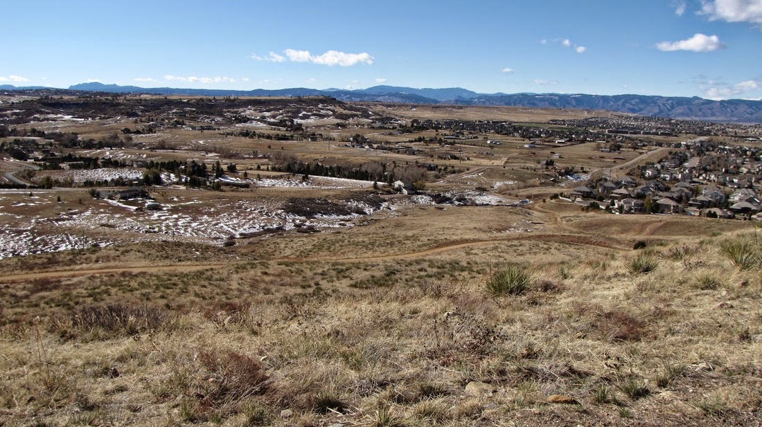
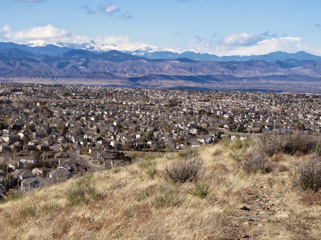
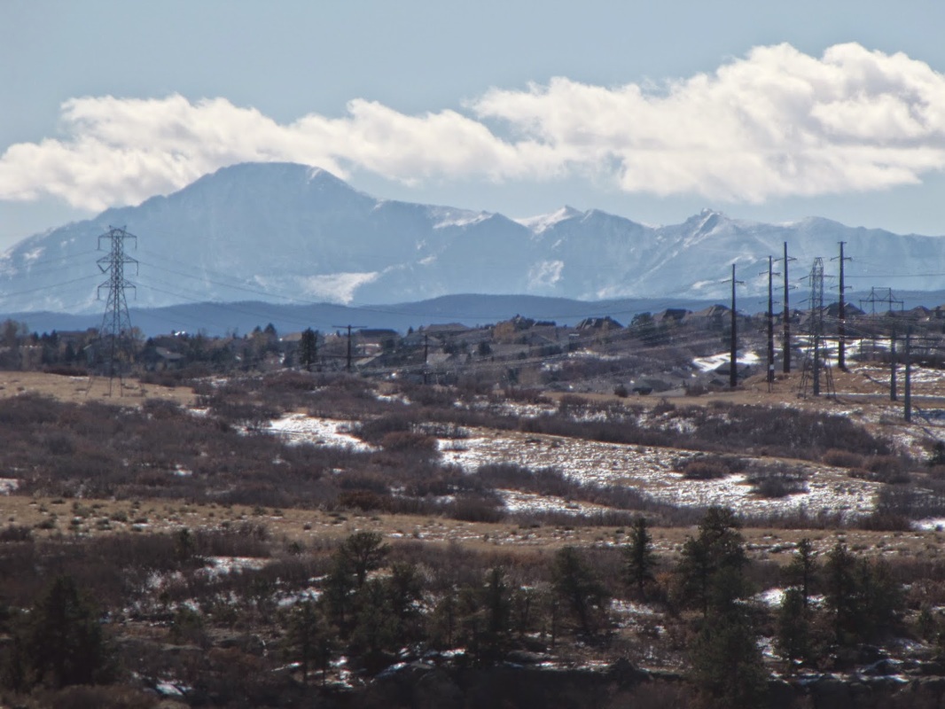
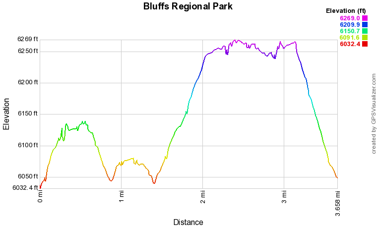
Bluffs Regional Park is an open space park at the southern reaches of the Denver Metro Area in Douglas County.  This park provides a very popular loop trail and two overlooks.  This is more of a fitness hike then a wilderness experience and you will not be alone on the weekends.  However, the views of the Front Range Mountains, including Pikes Peak, Mt. Evans, James Peak, the Indian Peaks, and Longs Peak are phenomenal on clear days. 

The park offers a straight forward loop hike with two overlooks.  The trail meanders up and down the hillsides but is easy to follow.  There are also connector trails that lead to properties within the Douglas County trail system.  The East/West Trail runs through the park and you can use it to connect to Wildcat Mountain to the south (private) or to reach the Lonehenge Viewpoint.

November 6, 2011

© Go Hike Colorado, 2020.  All Rights Reserved. 
Use of photographs without prior authorization is
​strictly prohibited.


Contact us at:
[email protected]
Legal Disclaimer - Information provided on this site is based upon our own observations, always double check information with the appropriate land management agency before heading into the backcountry.  Backcountry travel is inherently dangerous, please take all proper precautions.  Go Hike Colorado is not responsible for injury or incident.