|
|
|
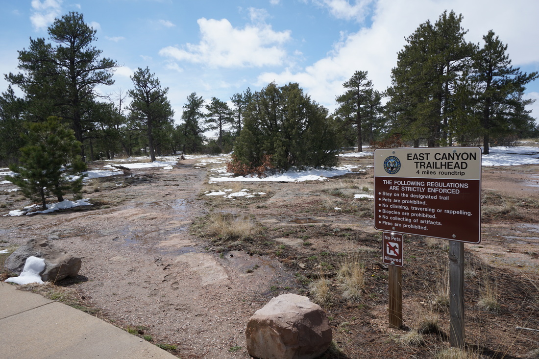
Directions: From Castle Rock, head east on Founders Parkway (86). At the intersection with 5th Street, turn left (east) following 86. Take 86 to Franktown and turn right (west) on 83. Follow signs to the park. After you pass the entrance station turn right into the overlook parking area and start out on the paved overlook trail. The East Canyon Trailhead is just a minute down the paved trail.
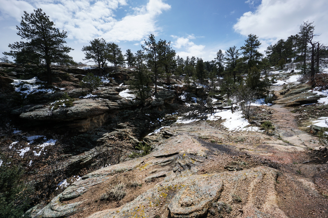
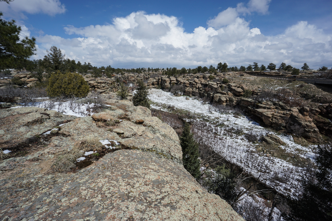
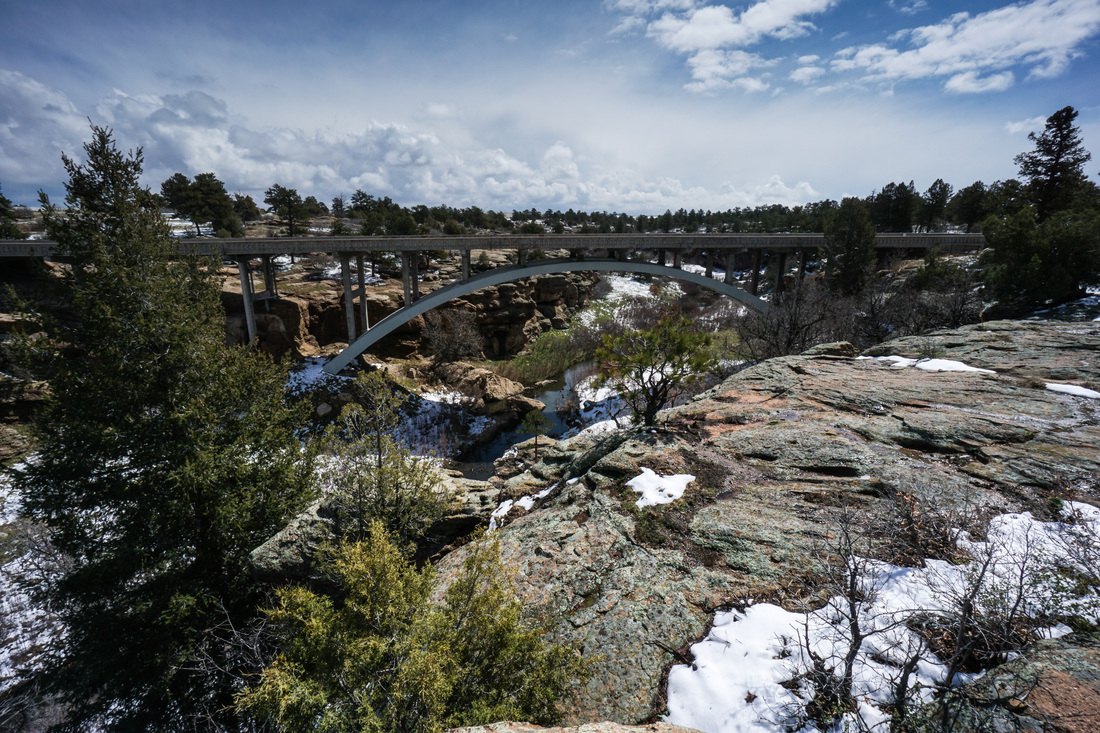
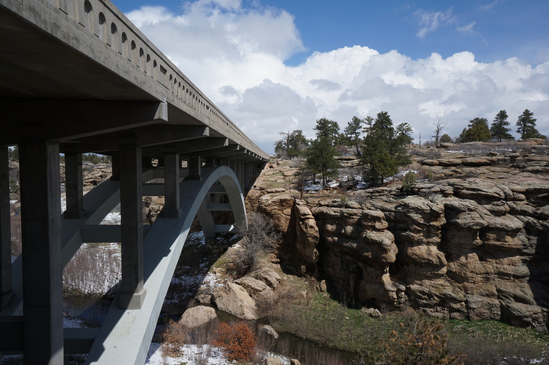
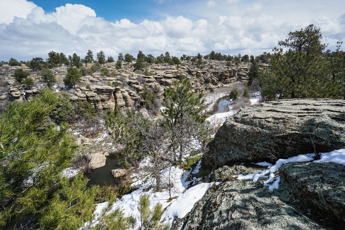
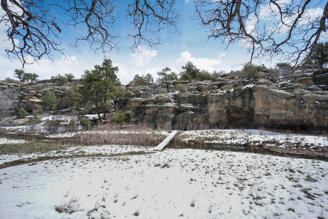
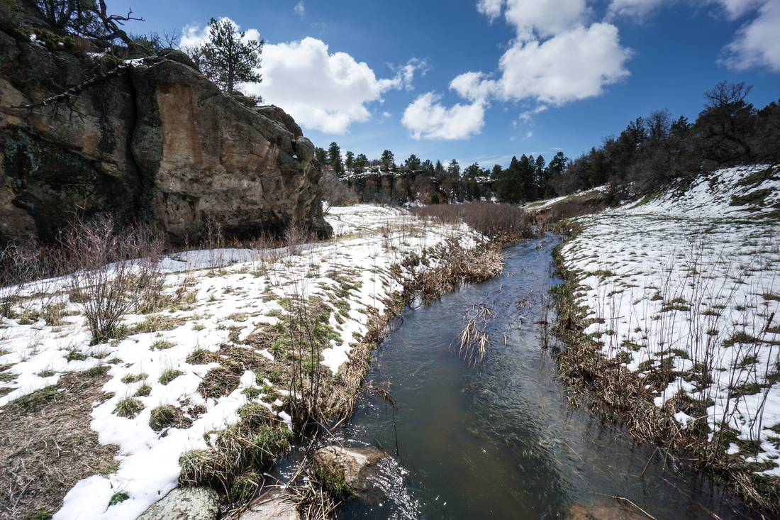
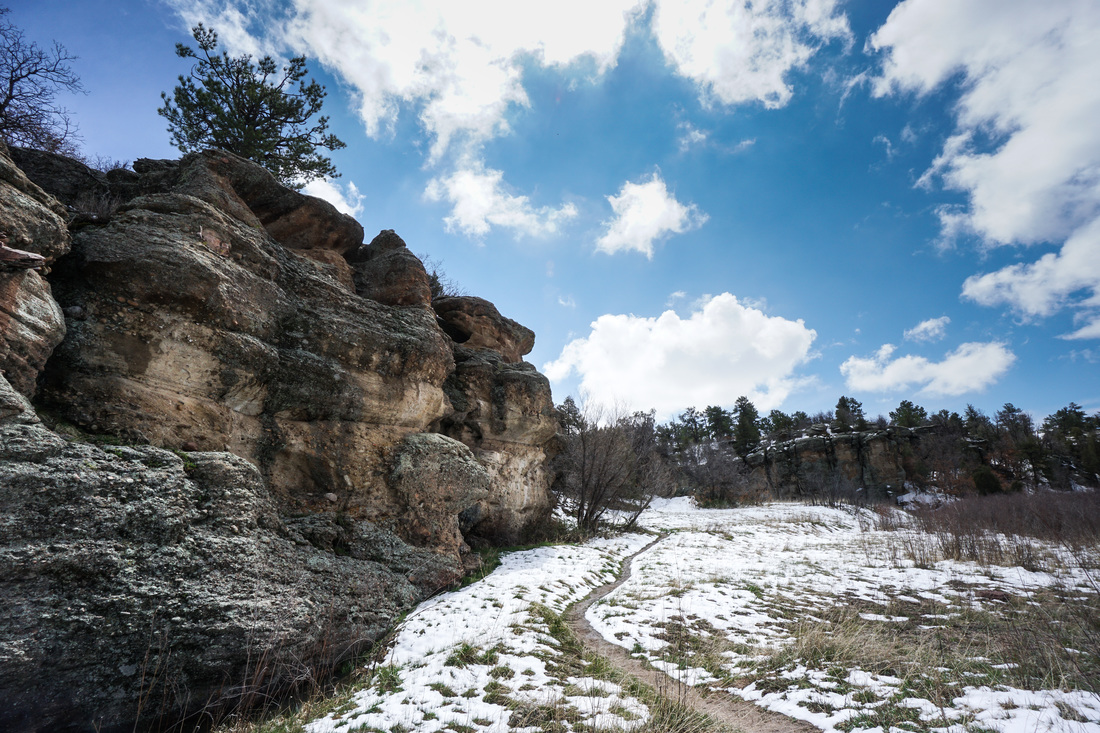
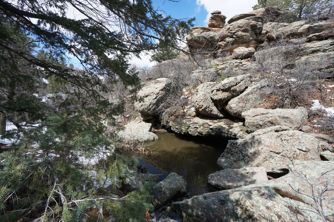
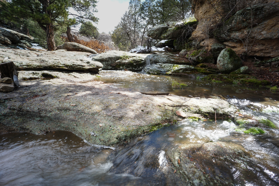
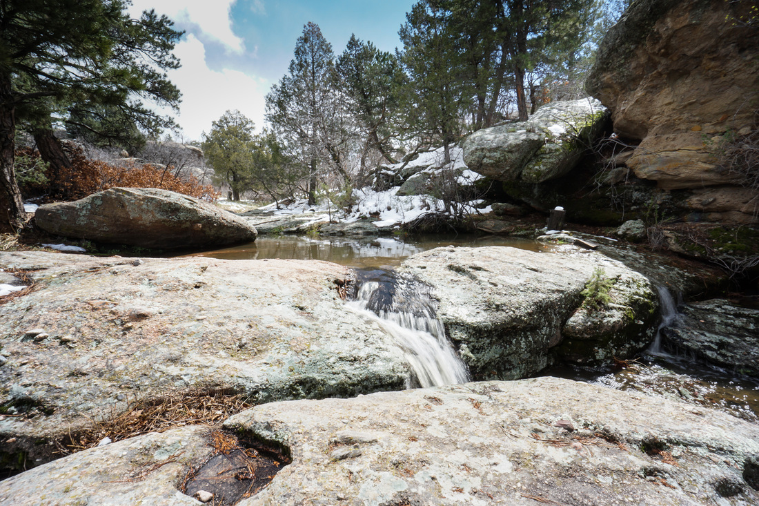
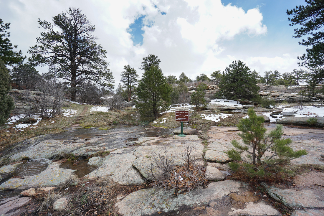
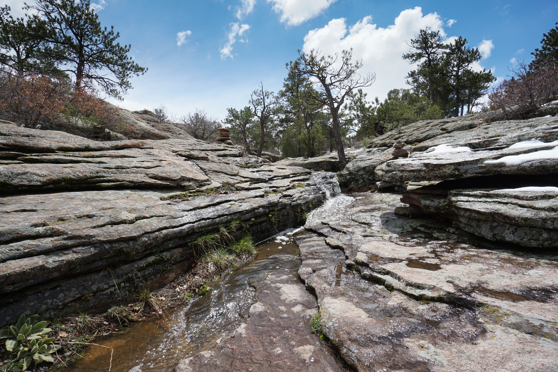
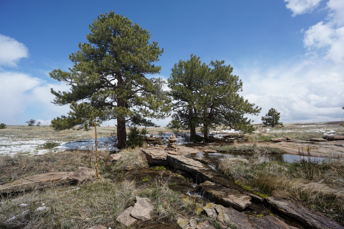
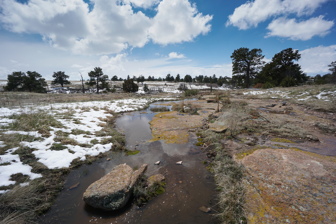
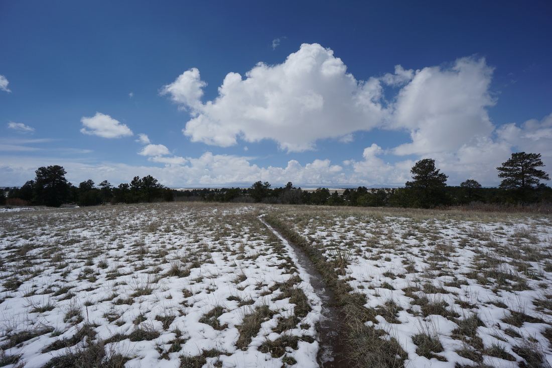
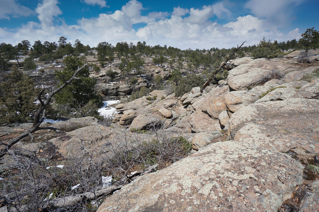
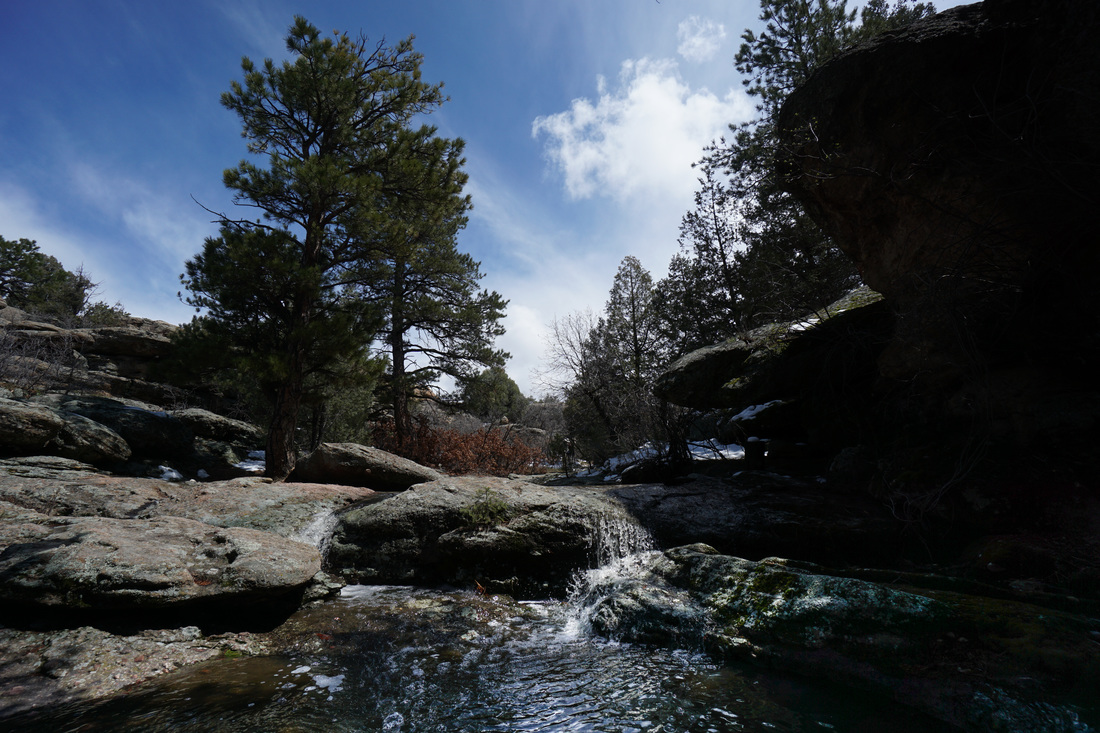
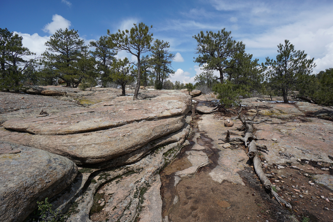
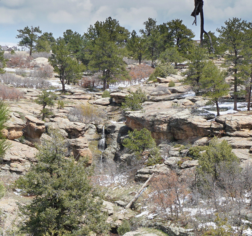
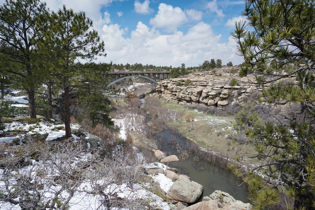
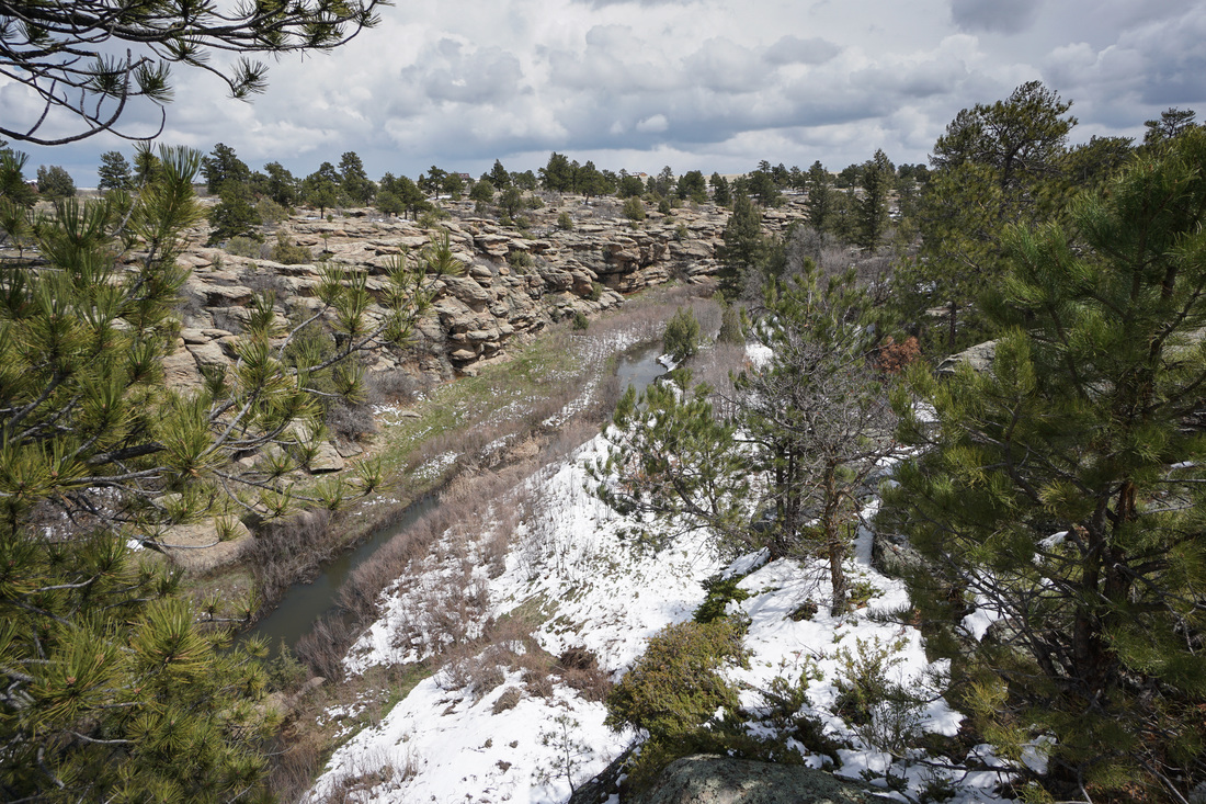
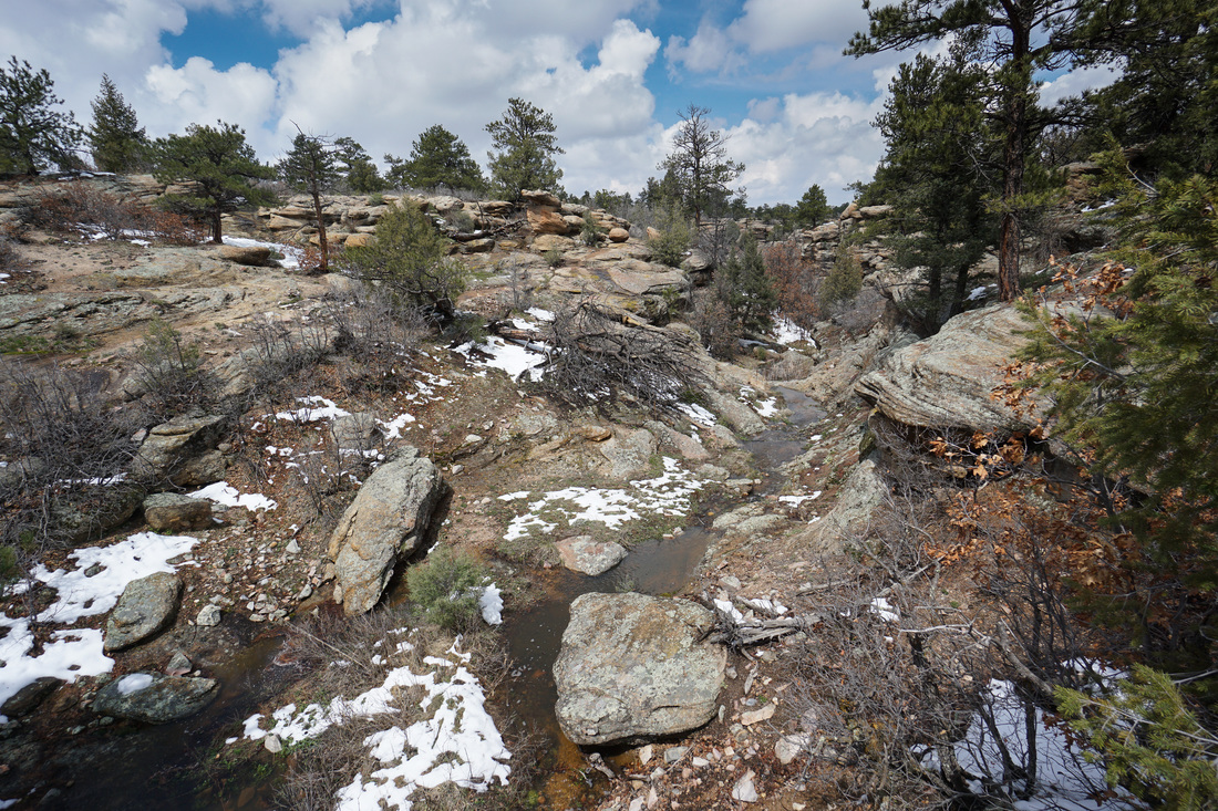
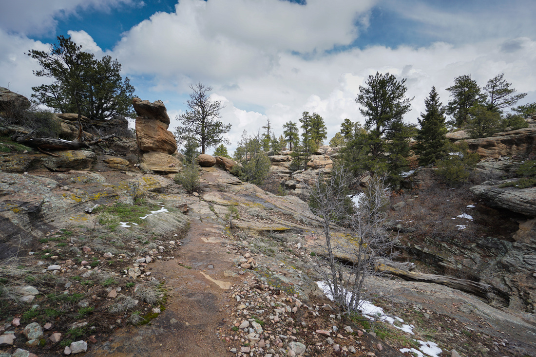
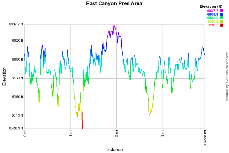
Castlewood Canyon State Park is one of my favorite areas to hike in Douglas County, and the East Canyon Trail is my favorite in the park. The trail sees far less traffic then the Inner Canyon/Lake Gulch area and explores some truly amazing canyon and prairie landscapes. From the trailhead the trail crosses the slickrock and skirts the rim of the canyon. The trail can be hard to follow but there are good cairns leading the way. In the spring, melting snow runs off the canyon walls in cascades and small waterfalls, adding to the beauty. Every now and then there will be amazing views of the canyon and the canyon bridge to the south. Cross under the bridge and continue following the rim of the canyon. The trail then descends down to the canyon floor crossing Cherry Creek over a narrow foot bridge. As the trail winds along the base of the cliffs, you enter into a narrow section of the canyon and you'll need to hop along some boulders criss-crossing a tributary of Cherry Creek over cascades and falls. This is a wonderful spot and make sure to linger and enjoy it. When you climb out of this section of the canyon, you'll see the trail sign for the loop. I prefer to turn right here and hike the loop in a counter-clockwise direction. The trail will emerge onto the plains with terrific views of the Front Range Mountains and foothills. The loop takes you along the plains and across rock face until you return to the canyon rim and the trail sign for the loop. From here you retrace your steps back along the canyon rim, under the bridge, and back to the trailhead. In the spring, be sure to look across the canyon for the waterfalls on the opposite side. |
|