|
Directions: From Denver or Castle Rock take Exit 182 (Wolfensberger/Wilcox) off of I-25. Follow Wilcox east for about .6 miles. Make a left on 2nd Street, a right onto Gilbert Street, a left on South Street, and a right on Oman Street to the trailhead and parking area on your right.
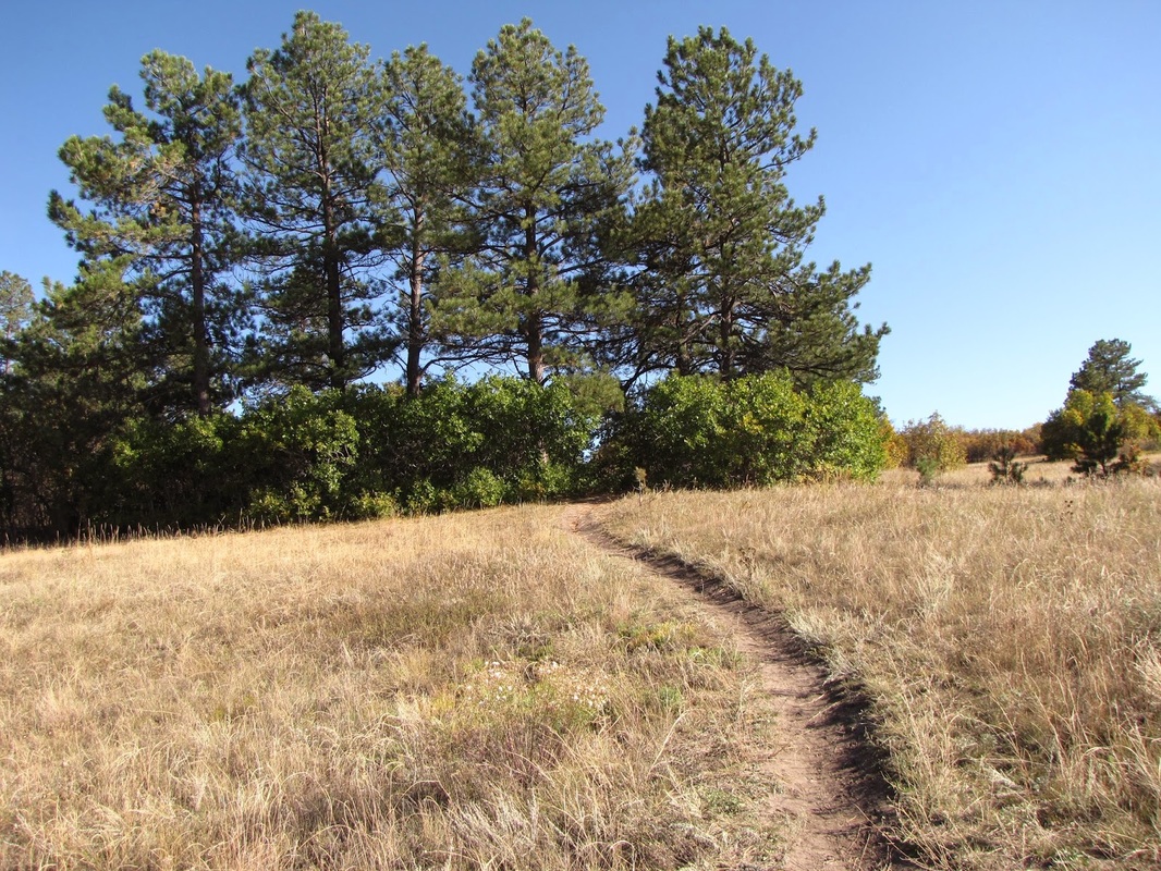
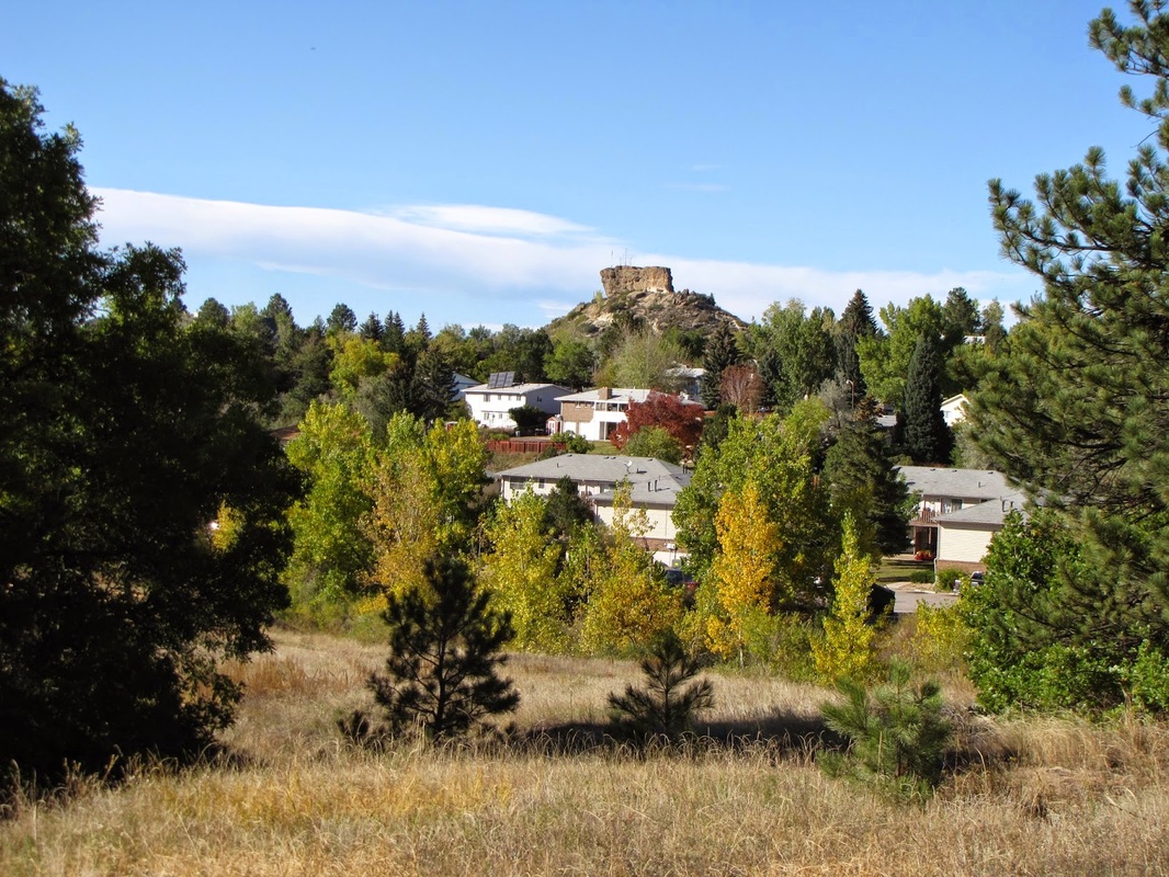
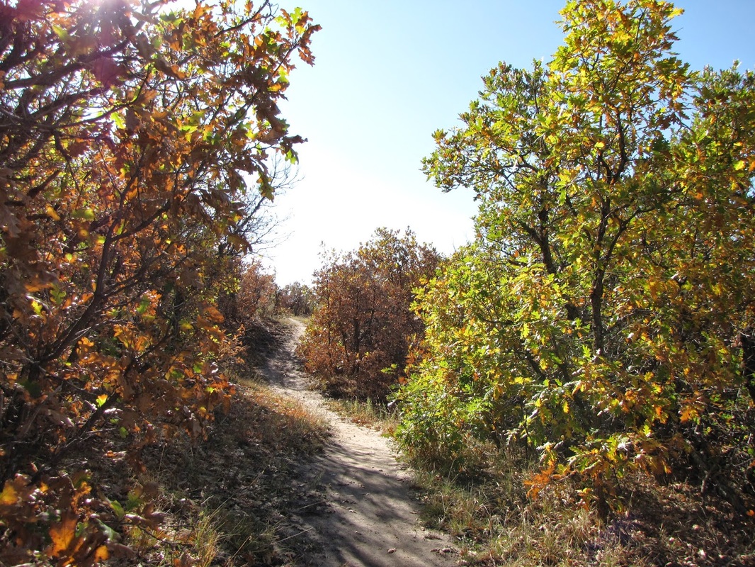
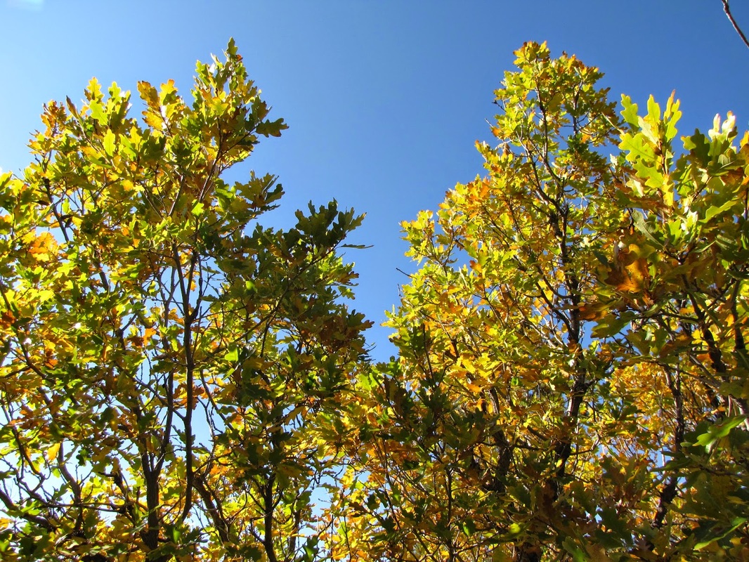
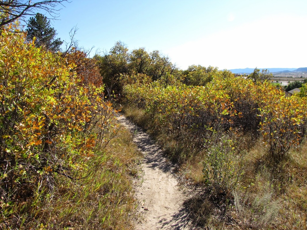
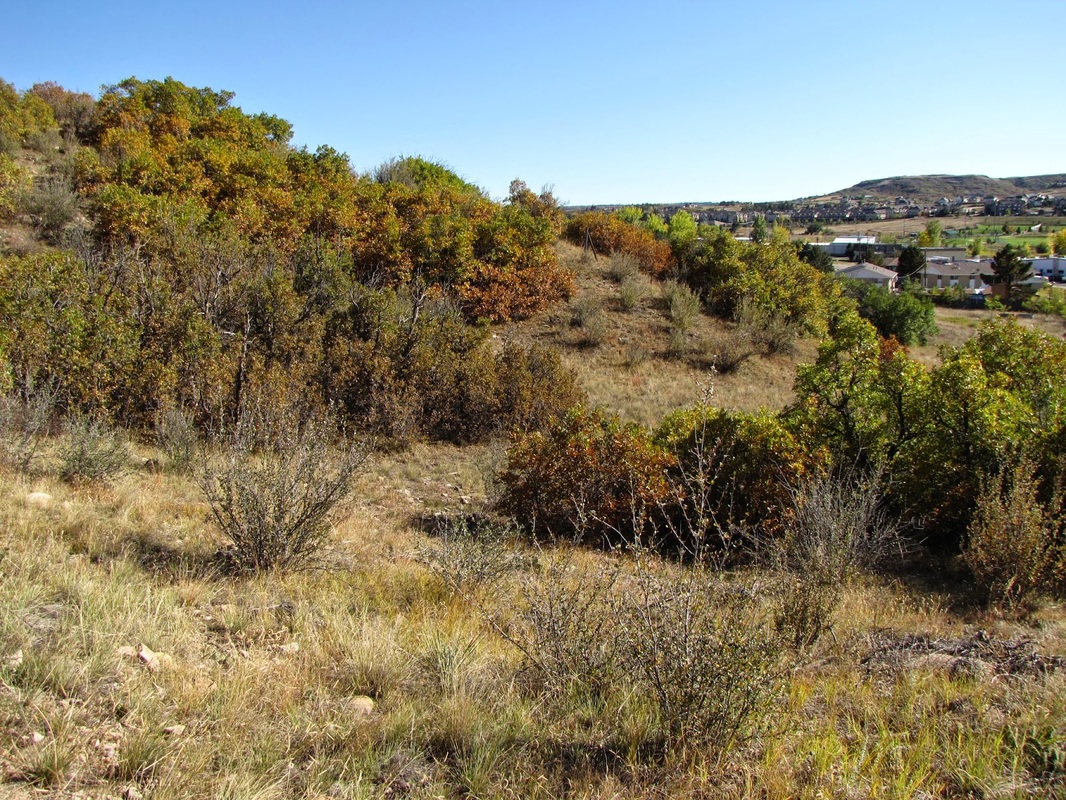
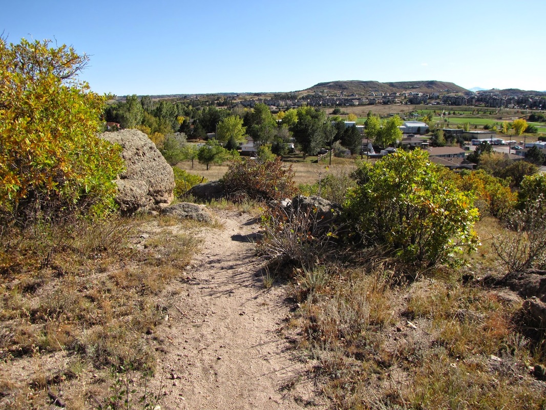
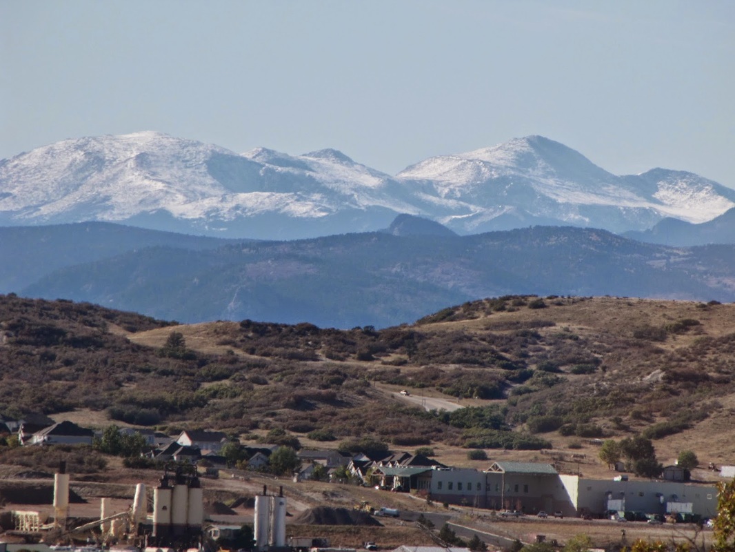
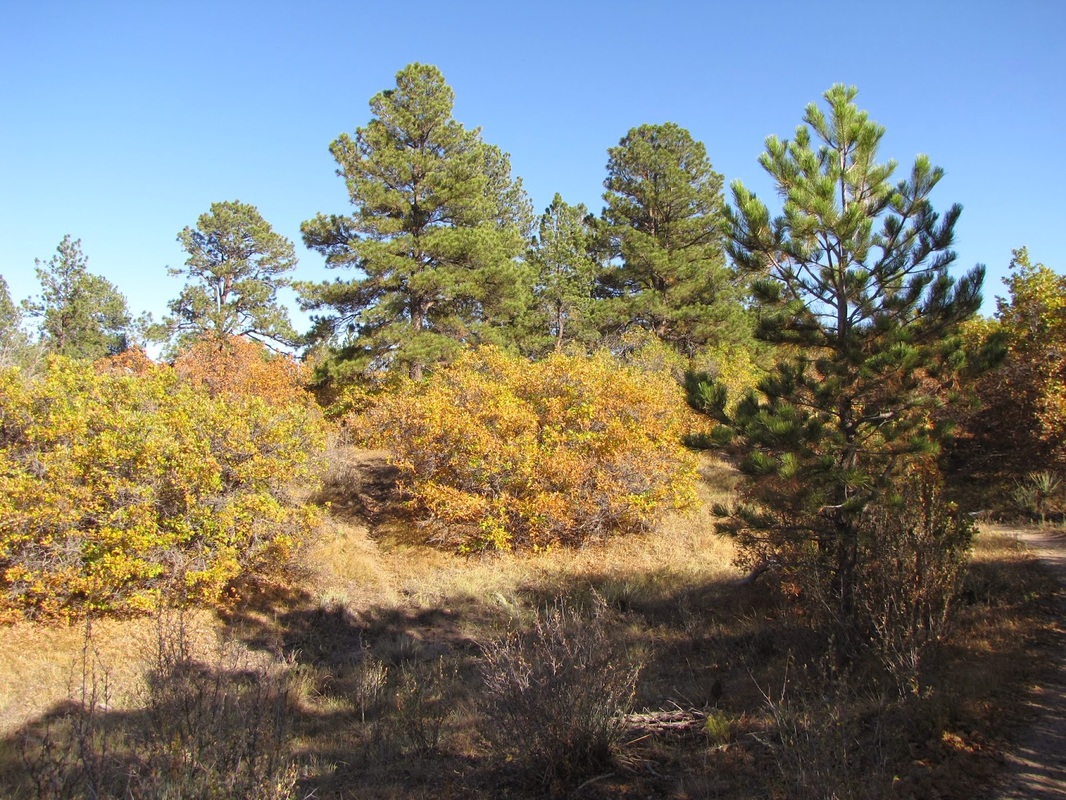
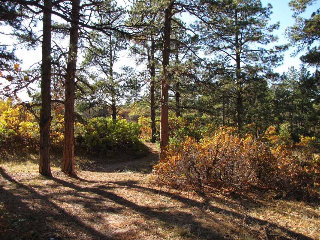
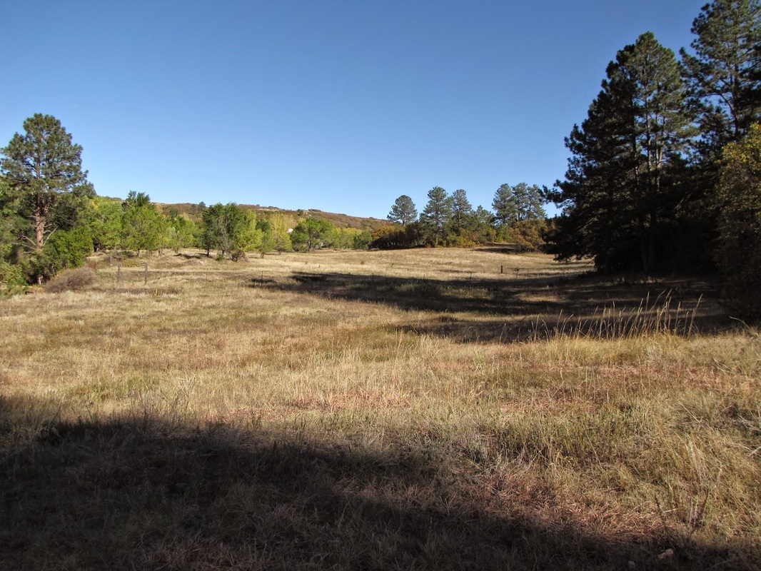
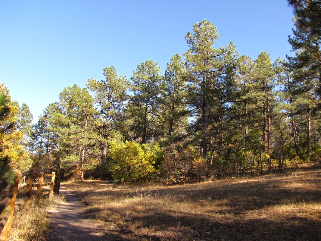
Memmen Ridge is a small but pretty natural area adjacent to the South Ridge Elementary School. There is a 1.9 mi loop trail with a cut off to make it a shorter hike. The trail itself weaves through a gamble oak and evergreen forest. Views from the ridge include, "Castle Rock," Mt. Evans, Devil's Head, and the Town of Castle Rock. The hike is particularly pretty in the fall when the oaks turn yellow, red, and orange. |
|
- HOME
- ABOUT
-
HIKES BY REGION
-
NATIONAL PARK HIKES
- BENT'S OLD FORT NATIONAL HISTORIC SITE
- BLACK CANYON OF THE GUNNISON NATIONAL PARK
- COLORADO NATIONAL MONUMENT
- CURECANTI NATIONAL RECREATION AREA
- DINOSAUR NATIONAL MONUMENT
- FLORISSANT FOSSIL BEDS NATIONAL MONUMENT
- MESA VERDE NATIONAL PARK
- ROCKY MOUNTAIN NATIONAL PARK
- GREAT SAND DUNES NATIONAL PARK
- HOVENWEEP NATIONAL MONUMENT
- SAND CREEK MASSACRE NATIONAL HISTORIC SITE
- YUCCA HOUSE NATIONAL MONUMENT
- HIKES BY CATEGORY
- NEWS
- WEBCAMS
- $UPPORT GHC
- INTERACTIVE MAP
Memmen Ridge Open Space
Town of Castle Rock
Date Hiked: October 11, 2011
Distance: 1.9 mi (RT)
Elevation Gain: ~200ft
Managing Agency: Town of Castle Rock Parks & Open Space
Fee: None