|
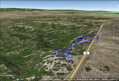
Directions: From Denver, take I-25 south and exit at Castle Pines. Take the Castle Pines Parkway west and turn right (west) onto Daniels Park Road. Park at the Picnic Area.
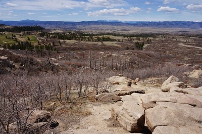
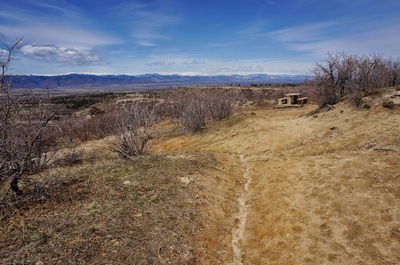
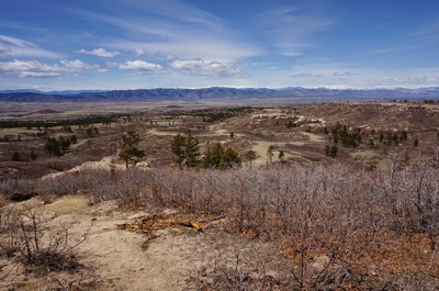
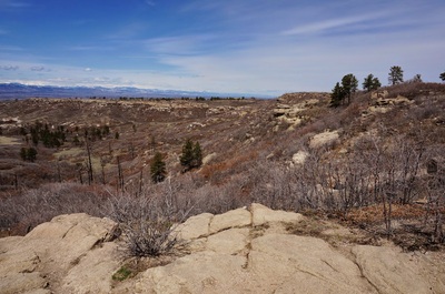
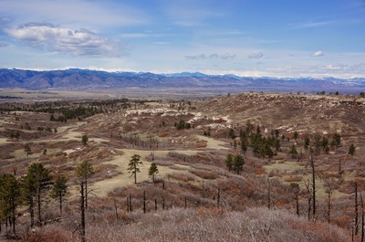
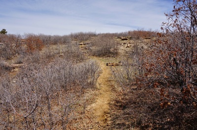
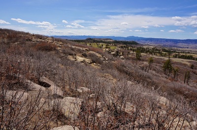
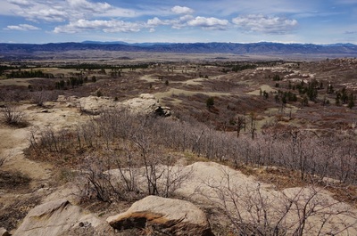
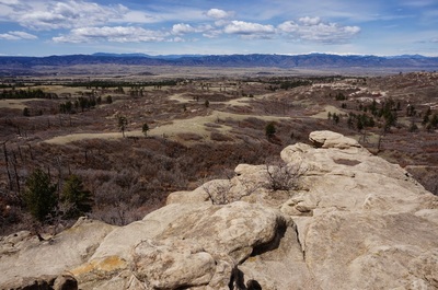
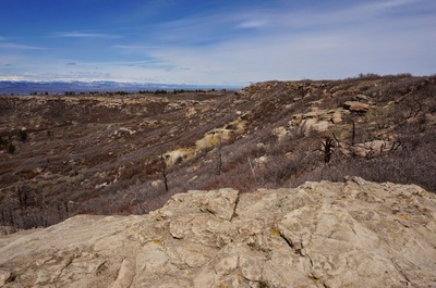
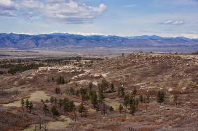
Daniels Park is an odd duck in the Denver Mountain Park System. First of all, it is the only Denver Mountain Park in Douglas County. It is also massive, the largest park in the system, but only a small portion of the park is open to public recreation. There are no trails in the park except for social trails connecting the picnic areas. However, hiking along these trails provides one of the best views of the Front Range that you can get. You can explore where you like as the trails all follow the edge of a cliffside and it's impossible to get lost, just be careful for loose rock. The park is adjacent to the Highlands Ranch Backcountry Wilderness Area which does have a trail system so it is a great place to explore as an add-on to another hike in the area. |
- HOME
- ABOUT
-
HIKES BY REGION
-
NATIONAL PARK HIKES
- BENT'S OLD FORT NATIONAL HISTORIC SITE
- BLACK CANYON OF THE GUNNISON NATIONAL PARK
- COLORADO NATIONAL MONUMENT
- CURECANTI NATIONAL RECREATION AREA
- DINOSAUR NATIONAL MONUMENT
- FLORISSANT FOSSIL BEDS NATIONAL MONUMENT
- MESA VERDE NATIONAL PARK
- ROCKY MOUNTAIN NATIONAL PARK
- GREAT SAND DUNES NATIONAL PARK
- HOVENWEEP NATIONAL MONUMENT
- SAND CREEK MASSACRE NATIONAL HISTORIC SITE
- YUCCA HOUSE NATIONAL MONUMENT
- HIKES BY CATEGORY
- NEWS
- WEBCAMS
- $UPPORT GHC
- INTERACTIVE MAP
Daniels Park
Date Hiked: April 21, 2013
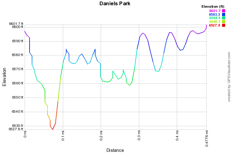
Distance: .5 mi (RT)
Elevation Gain: 100ft
Elevation Min/Max: 6,528 to 6,602ft
Managing Agency: Denver Mountain Parks
Fee: None

