|
DIRECTIONS: From C-470, take Wadsworth Blvd south to the Chatfield Park Entrance. Turn into the park and through the entrance station. At the junction with the park road, turn right and head south on Chatfield State Park Road. As it turns to the east, look for the Kingfisher Parking Area on the left.
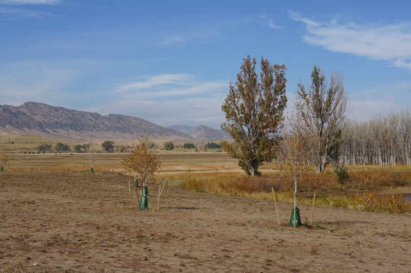
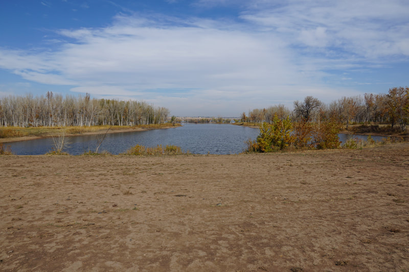
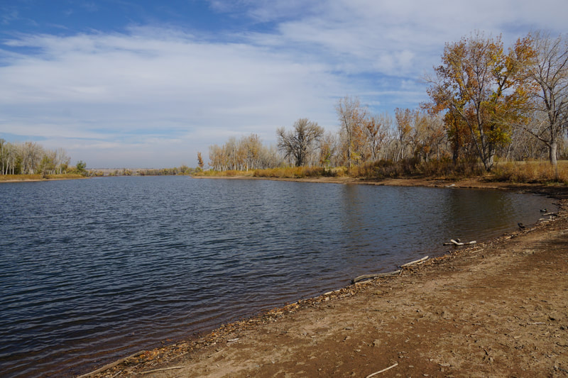
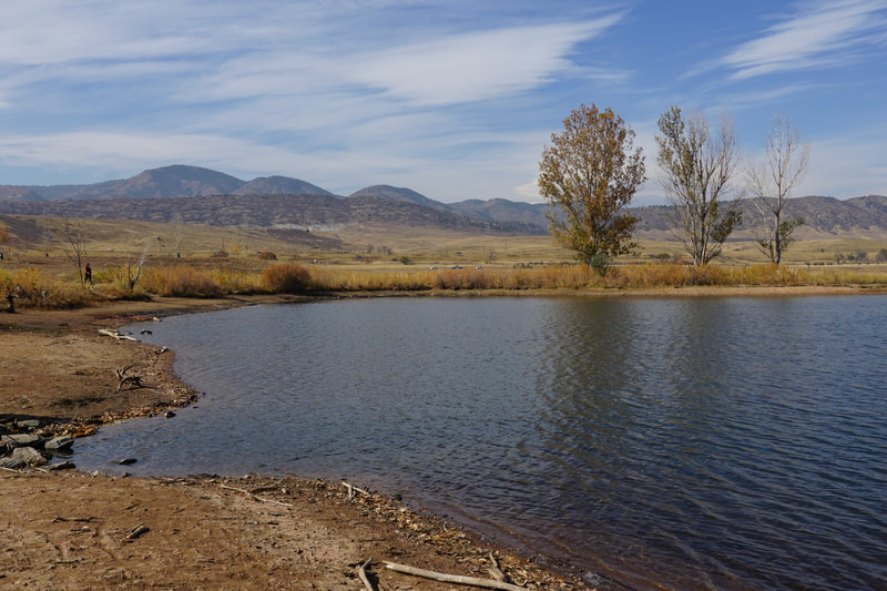
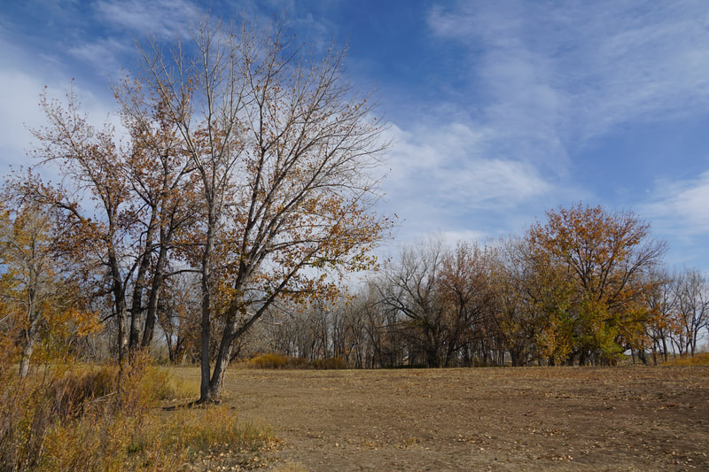
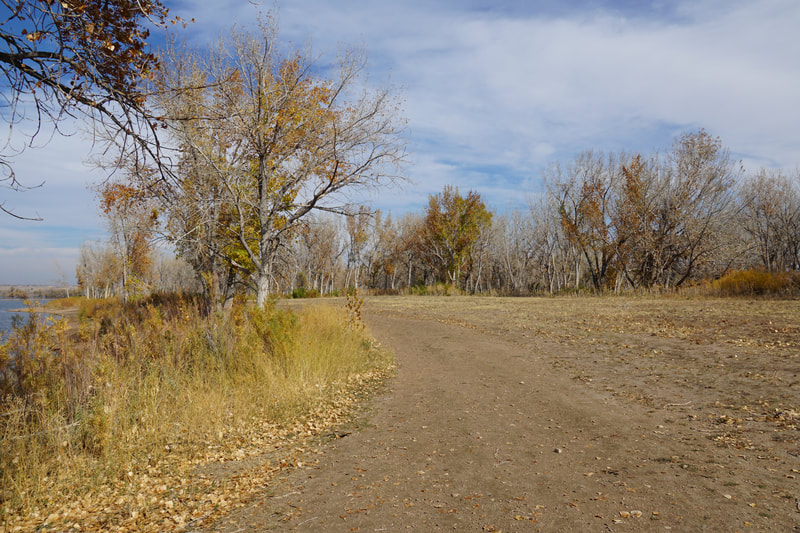
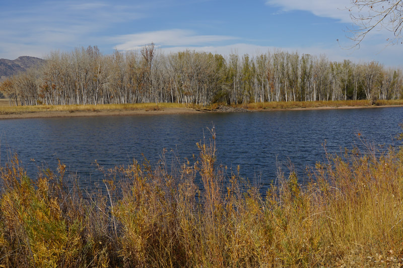
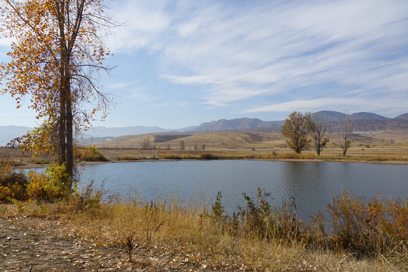
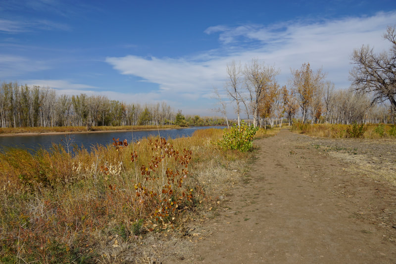
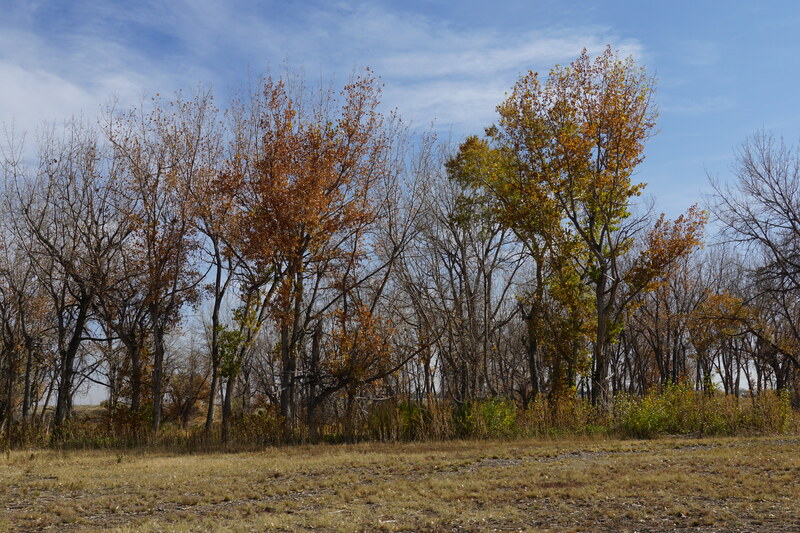
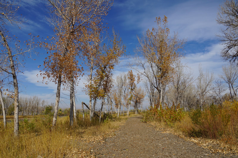
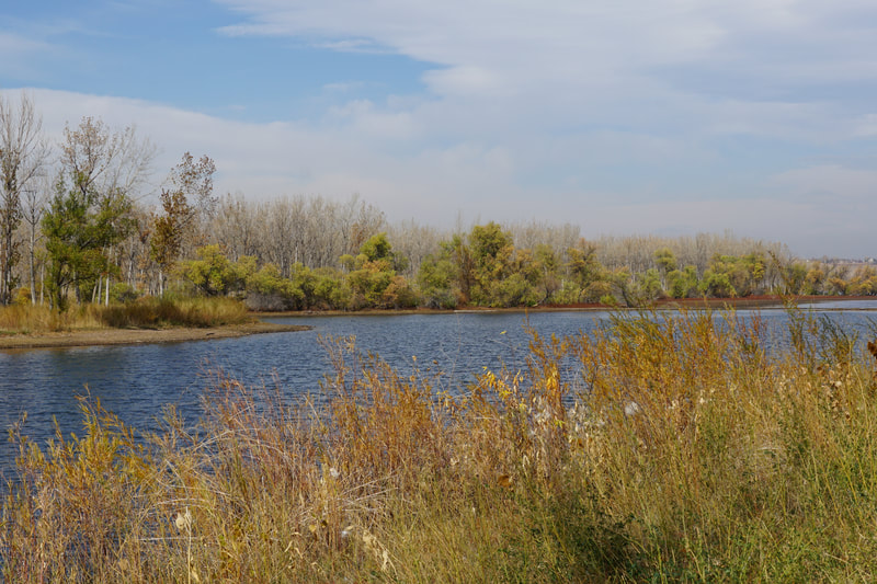
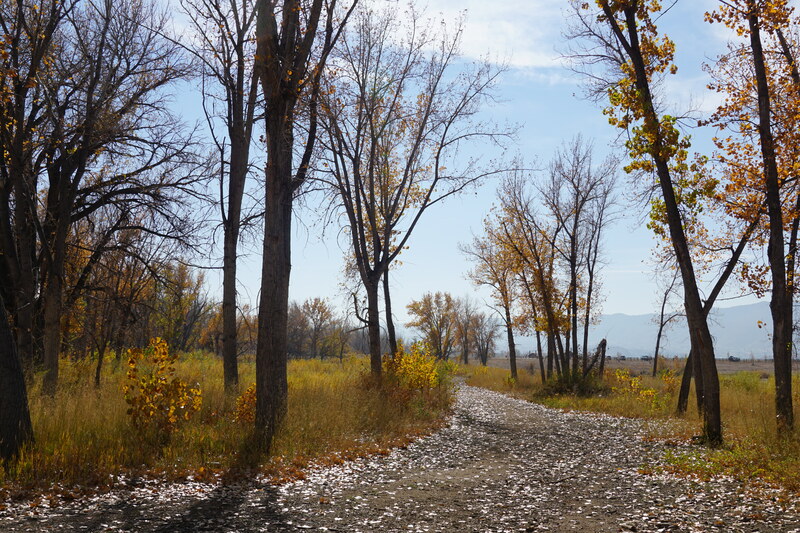
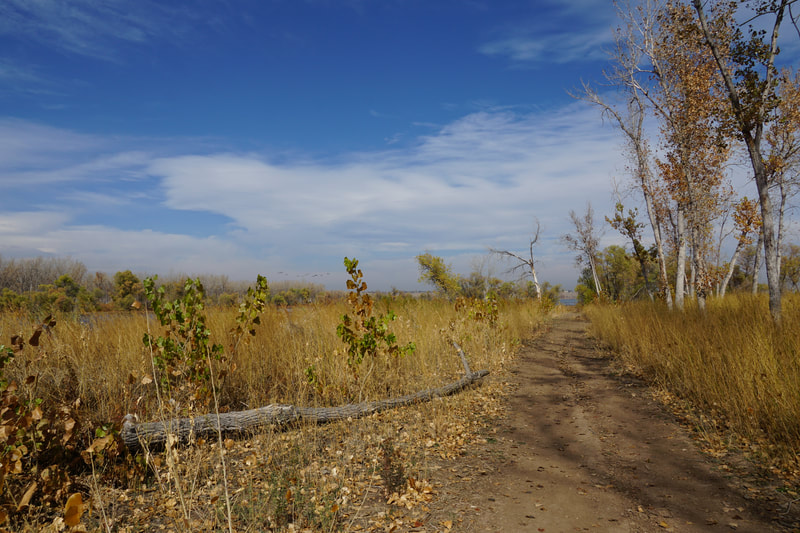
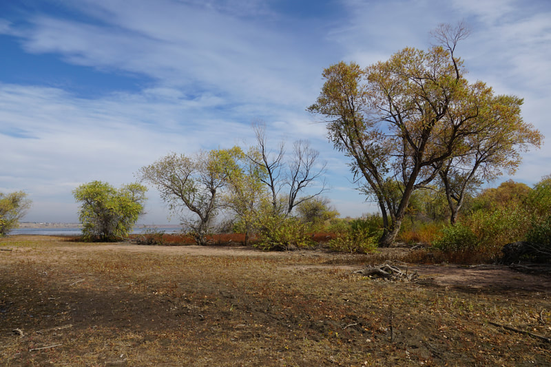
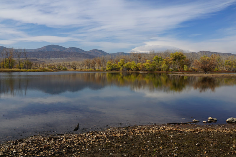
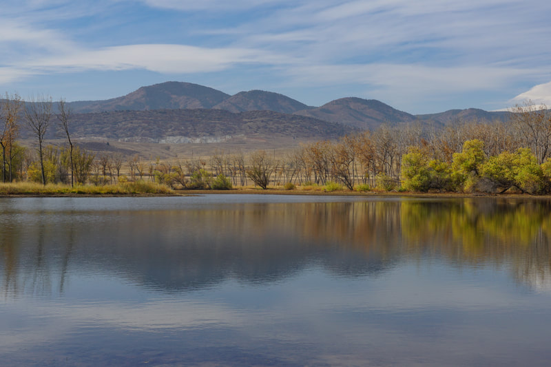
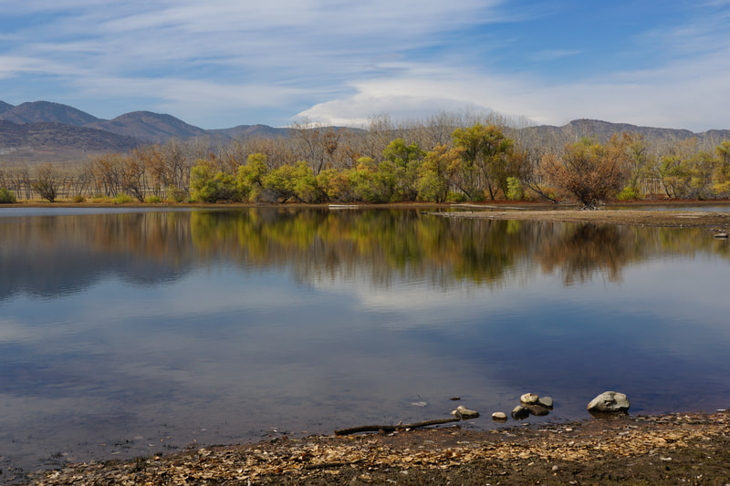
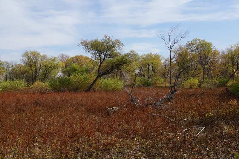
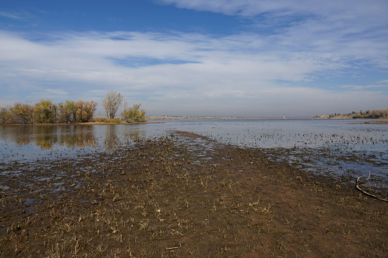
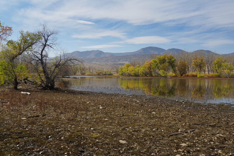
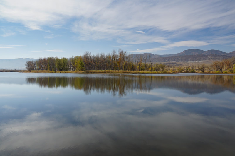
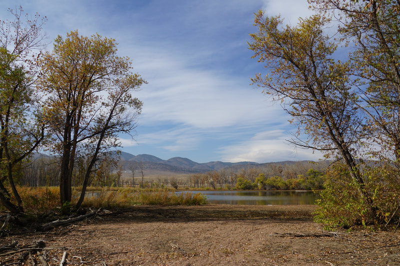
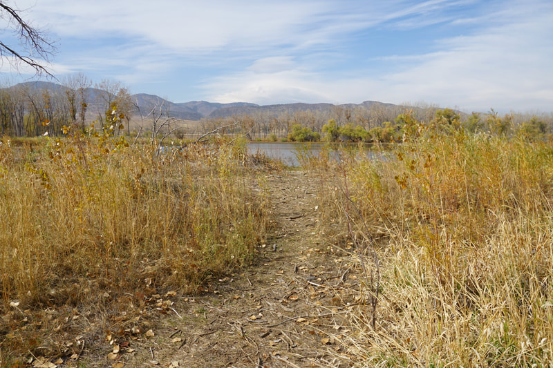
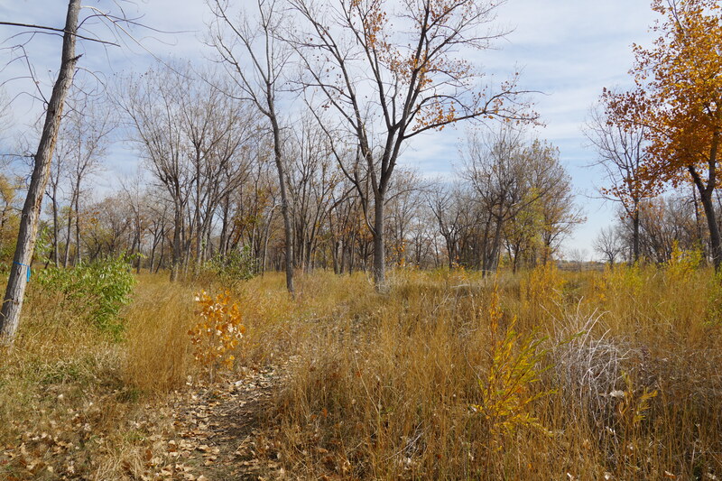
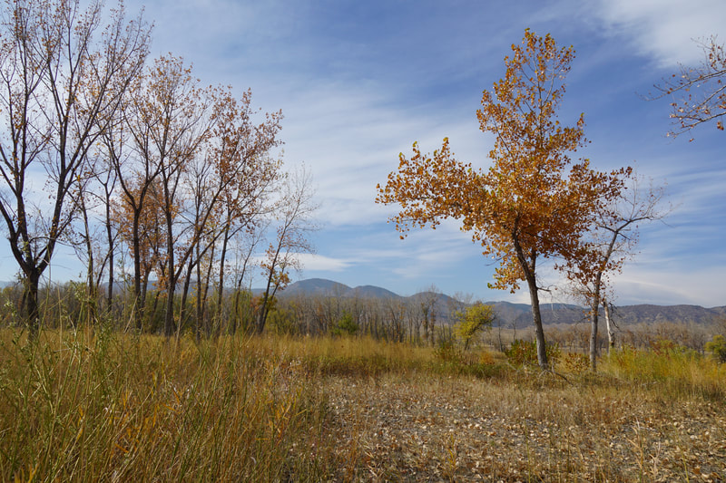
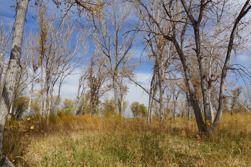
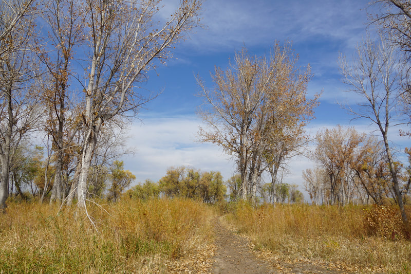
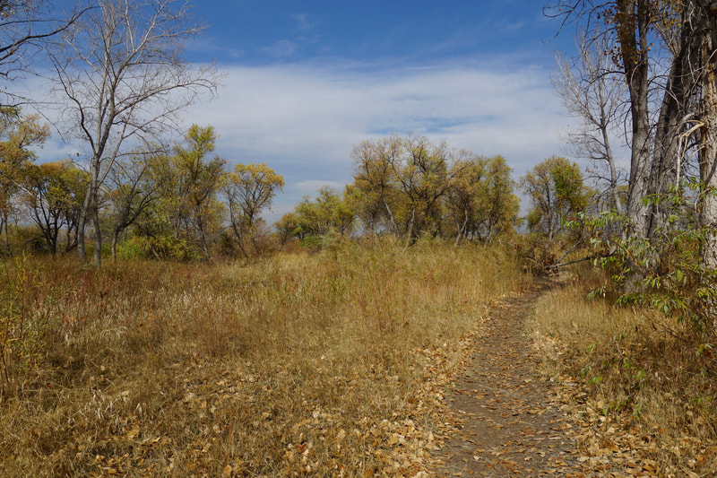
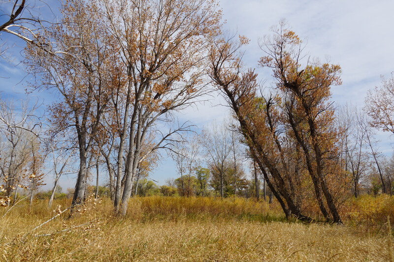
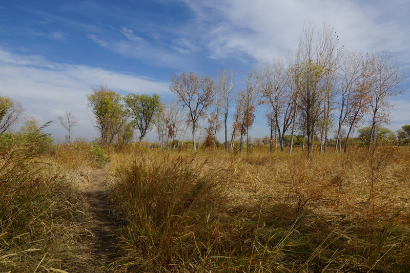
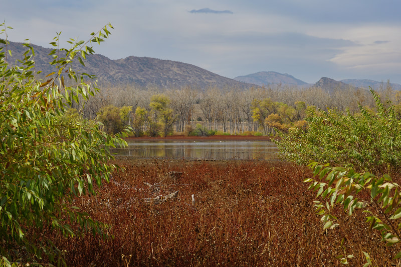
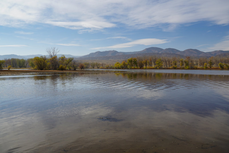
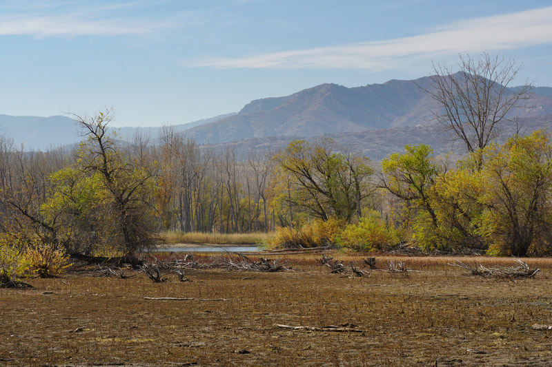
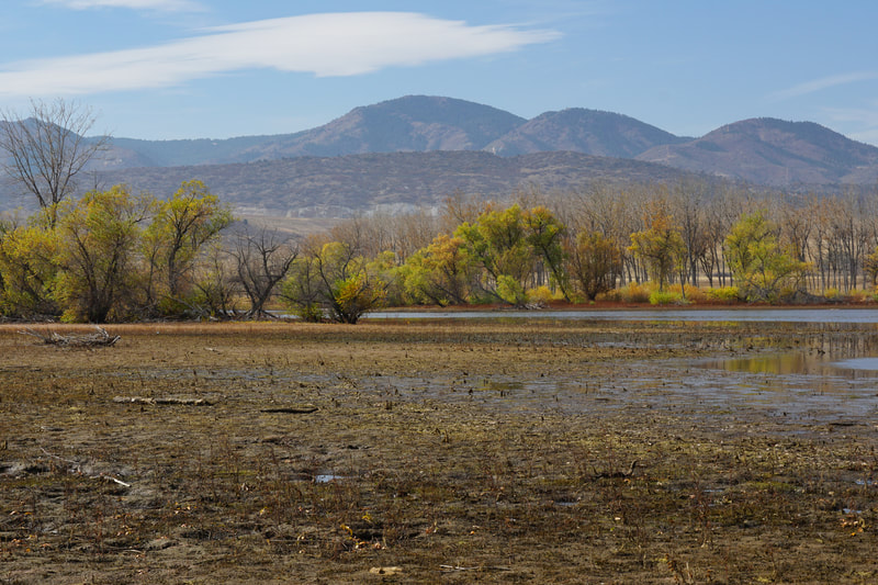
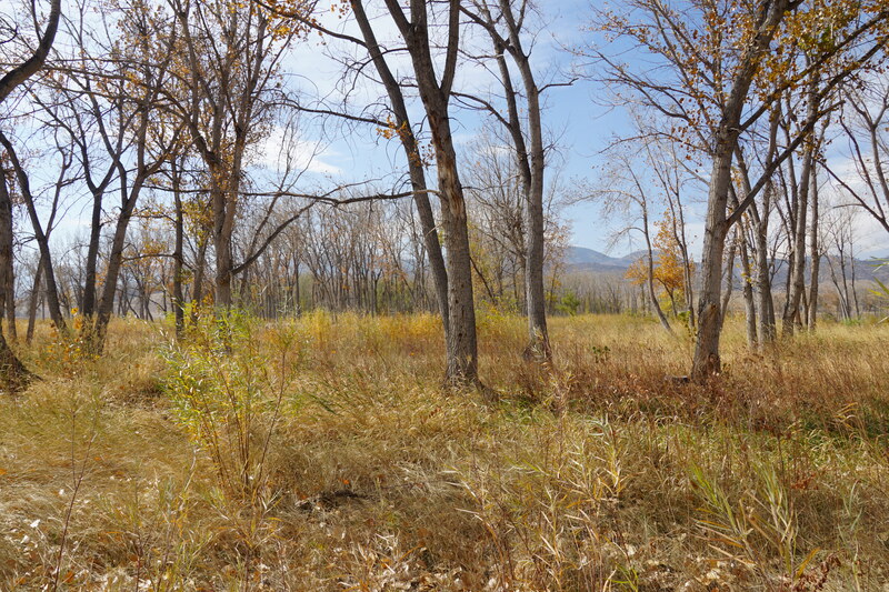
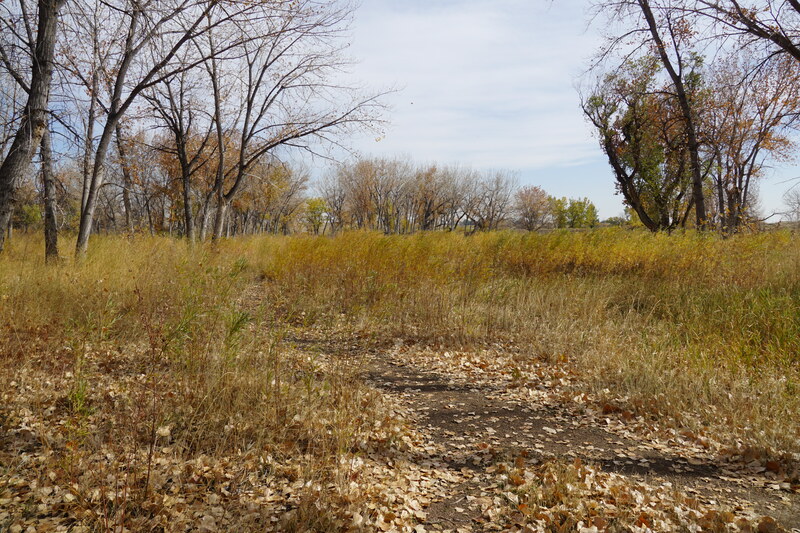
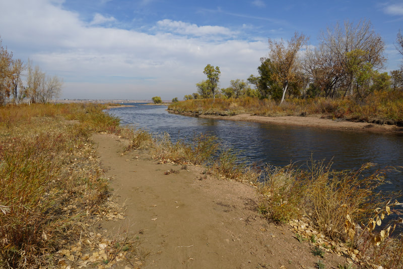
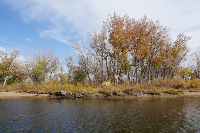
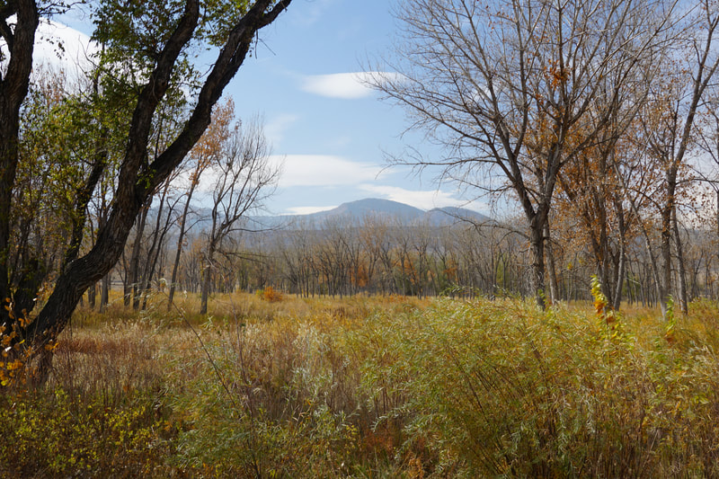
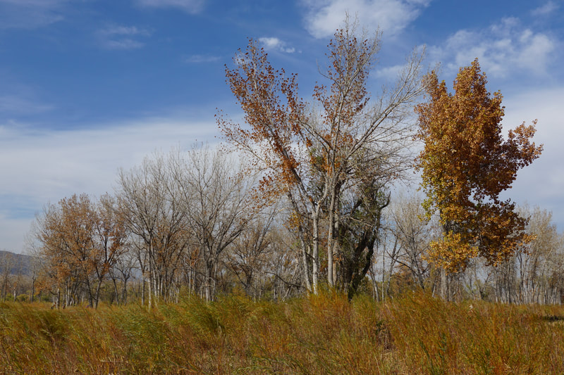
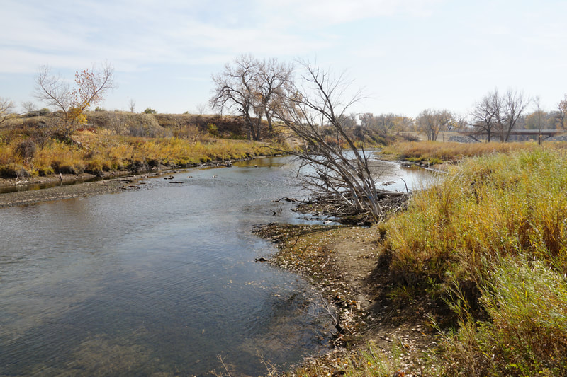
The Kingfisher trailhead provides access to a short but beautiful hike through cottonwood forest that leads to the southern end of Chatfield Reservoir. This hike is wonderful for late fall colors as you can wander through the golden forests and get beautiful views of fall colors across the reservoir.
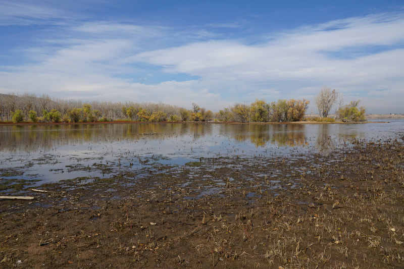
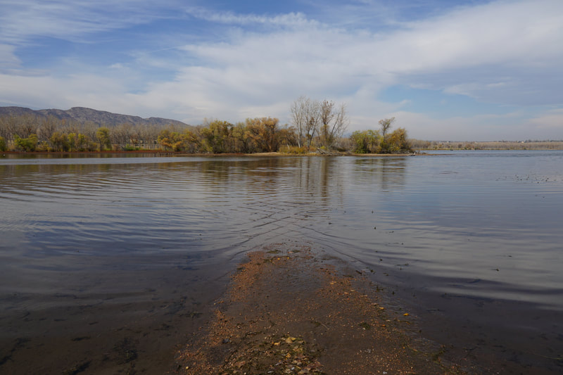
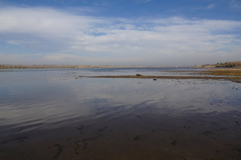
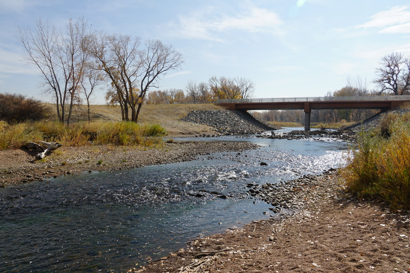
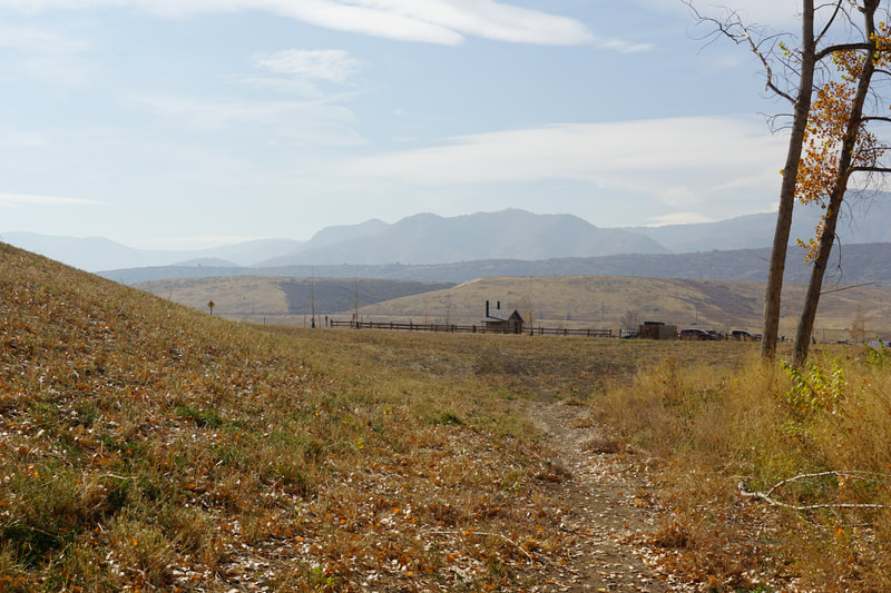
From the Kingfisher parking area, head down to the shore of the pond directly in front of you. There is no obvious trail to start of with but aim for the eastern shore of Kingfisher pond and you'll find the wide dirt path leading north along the eastern shore. As you follow the path, you'll notice a few trails branching off to the east. This area is a maze of social trails. There are no official trails here as they are not identified on the park maps. You can wander and make your own loops but if you want the largest possible loop follow the wide path north until you reach the water's edge. This edge changes depending on the water depth in the reservoir. At the northern terminus of the trail you are treated to wonderful views of the reservoir and the foothills to the west. To continue the loop, retrace your steps and find the first passable trail, you might have to follow a few social trails until you find one that connects. Once you are on the trail, head east until you run into an obvious wide path leading north to south. This trail used to be an official trail at one point. Follow it north. You will again, pass several social trails with one being an obvious path, remember this and come back to it. Continue north and the dirt path will become paved. This is one of the most interesting parts of this hike. The paved trail leads north to the shore of the reservoir and continues into the water, under the water, and may or may not continue of the far end. This is an indication that this area has historically had a trail system that was apparently abandoned when the reservoir was expanded. This paved trail is a relic of the past... Head back south and return to the obvious trail heading east. This trail takes you to the South Platte River. At the river trails head north and south. Head north if you want to return to the reservoir for the third time on this hike; head south if you want to finish the loop. You can follow a faint trail south along the banks of the river, however, due to erosion of the river bank this trail may no longer be passable. Another option is to backtrack a few minutes and follow the wide dirt path south to finish the loop. Either way, the trails lead back towards the road and back to the Kingfisher parking area. This is easy nature hiking but it is a beautiful area any time of year. These trails are great options in the late fall but also in the winter if you are looking for an easy hiking option. Since this is an unofficial trail system there are fewer hikers on these trails then the Audubon area so this is a good option for social distancing. |
- HOME
- ABOUT
-
HIKES BY REGION
-
NATIONAL PARK HIKES
- BENT'S OLD FORT NATIONAL HISTORIC SITE
- BLACK CANYON OF THE GUNNISON NATIONAL PARK
- COLORADO NATIONAL MONUMENT
- CURECANTI NATIONAL RECREATION AREA
- DINOSAUR NATIONAL MONUMENT
- FLORISSANT FOSSIL BEDS NATIONAL MONUMENT
- MESA VERDE NATIONAL PARK
- ROCKY MOUNTAIN NATIONAL PARK
- GREAT SAND DUNES NATIONAL PARK
- HOVENWEEP NATIONAL MONUMENT
- SAND CREEK MASSACRE NATIONAL HISTORIC SITE
- YUCCA HOUSE NATIONAL MONUMENT
- HIKES BY CATEGORY
- NEWS
- WEBCAMS
- $UPPORT GHC
- INTERACTIVE MAP
Kingfisher Loop
Chatfield State Park
Date Hiked: October 24, 2020
Distance: 1.3 mi (RT)
Elevation Gain: 225 ft
Elevation Min/Max: 5,380 to 5,442 ft
Trailhead Lat/Long: 39.52043, -105.08254
Managing Agency: CO Division of Parks & Wildlfie
Fee: Yes

