|
Directions: From Denver or Castle Rock, take I-25 south for approximately 6 miles to Exit 176 (Tomah Road). Turn left over the bridge crossing I-25 and turn left (north) on the I-25 Frontage Road. When you see the sign for "Open Space" turn right (east) into the park.
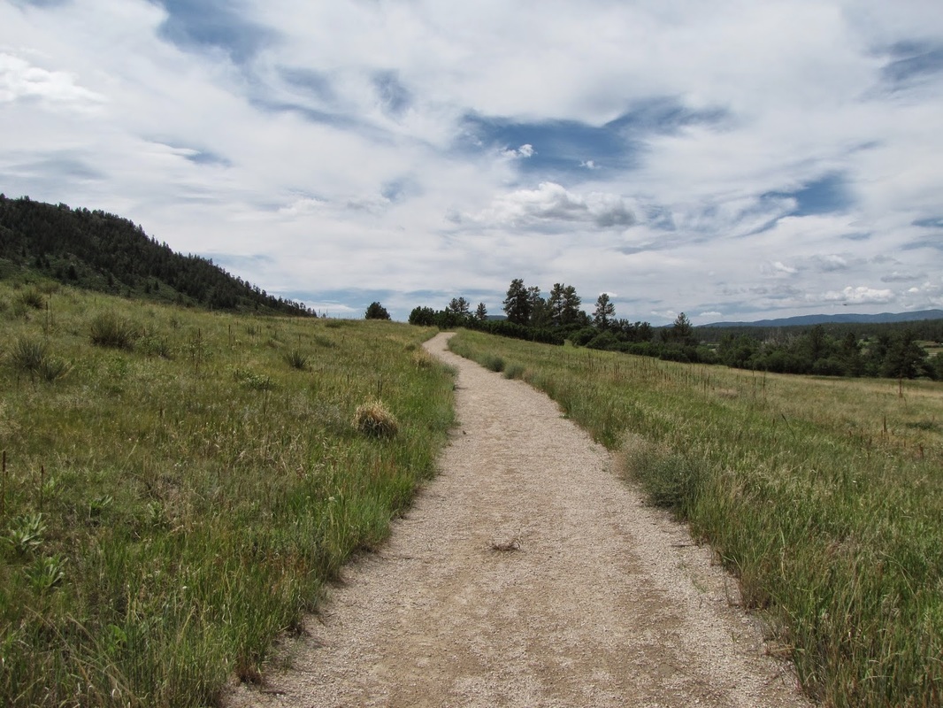
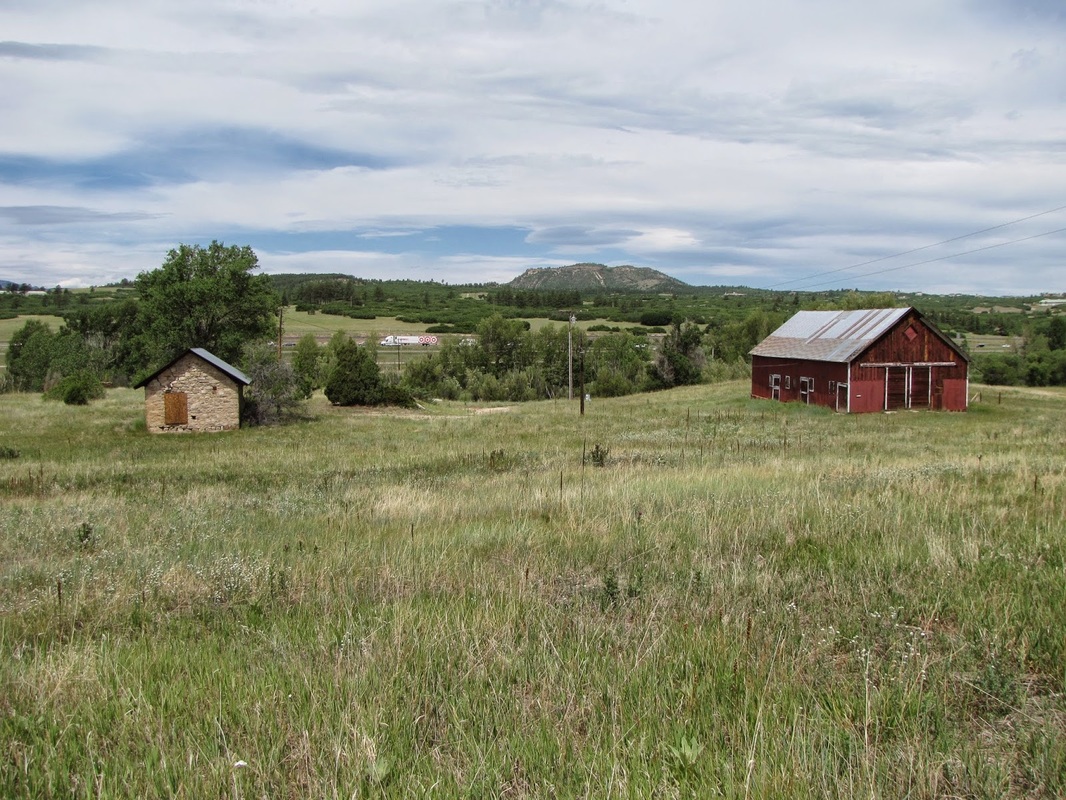
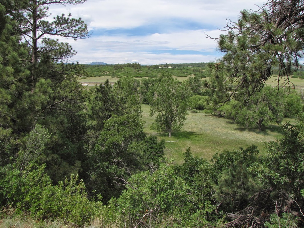
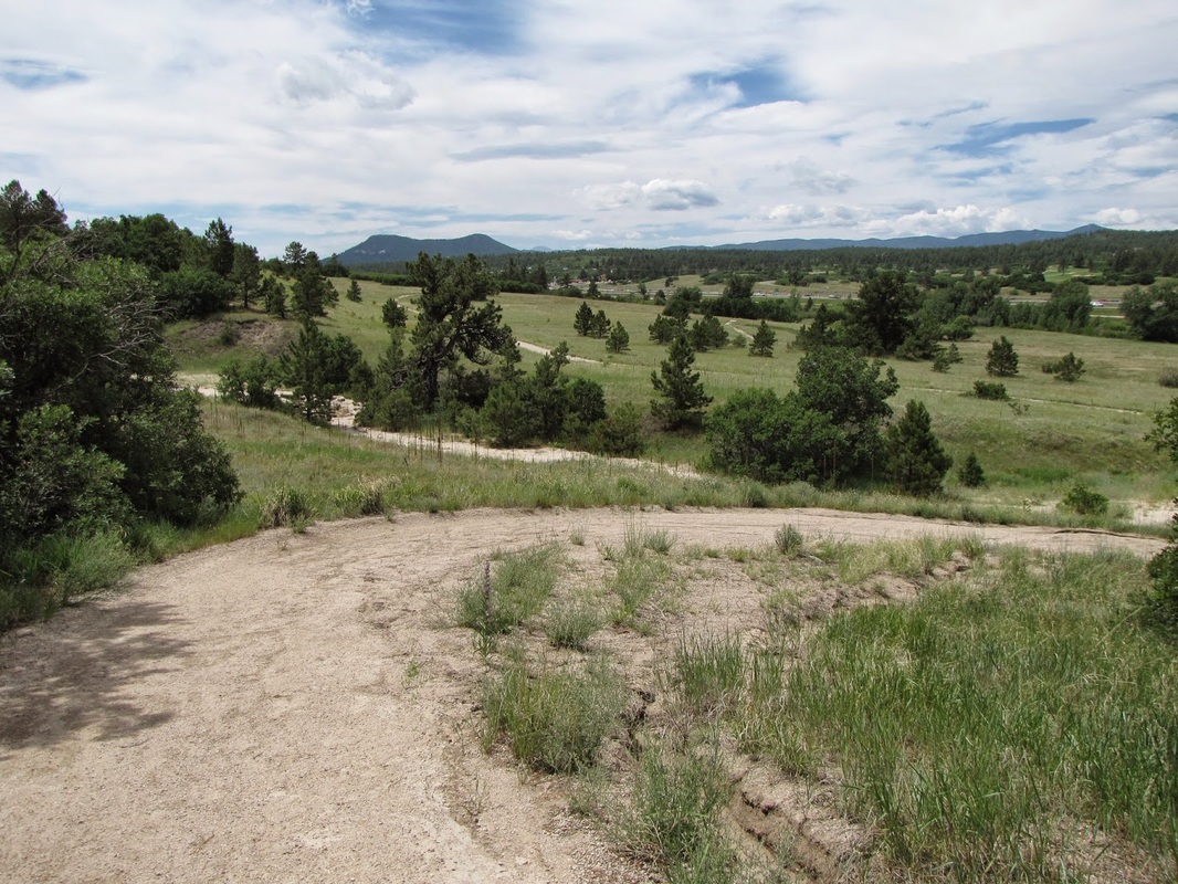
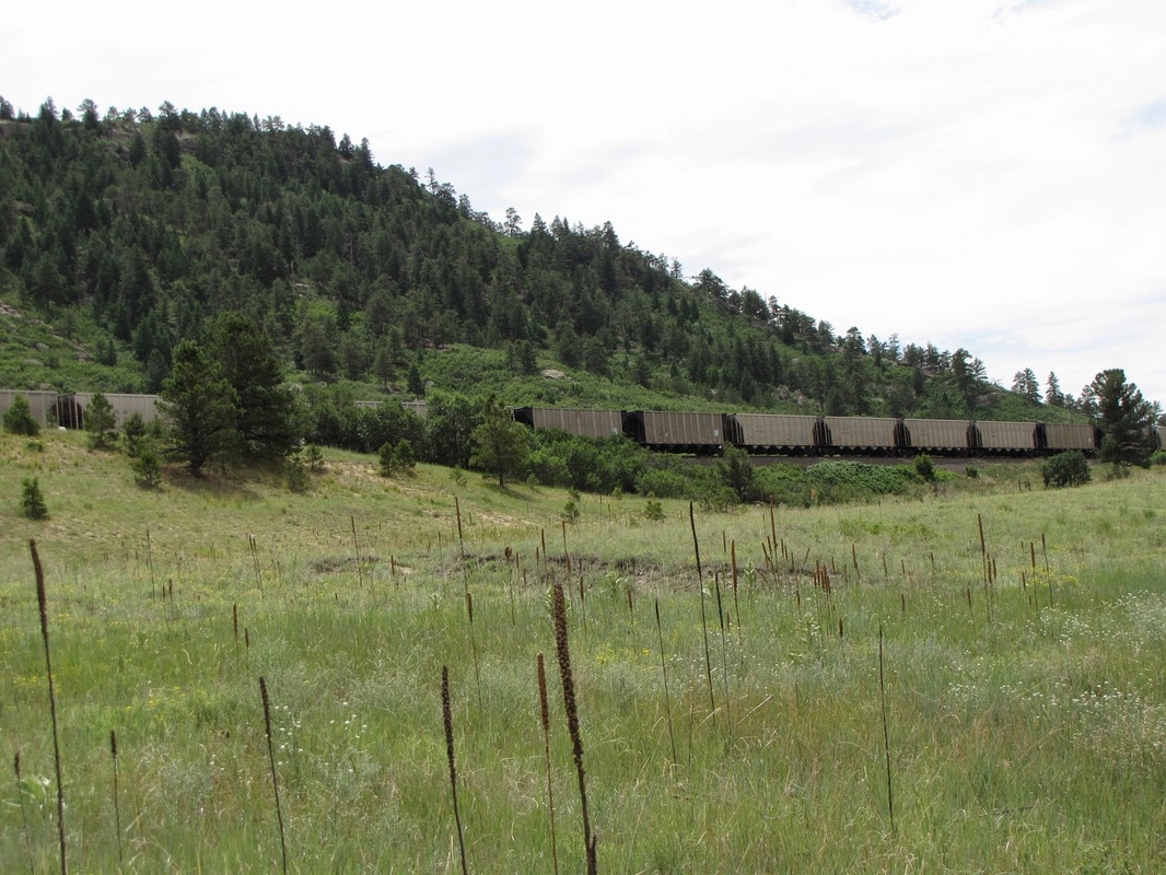
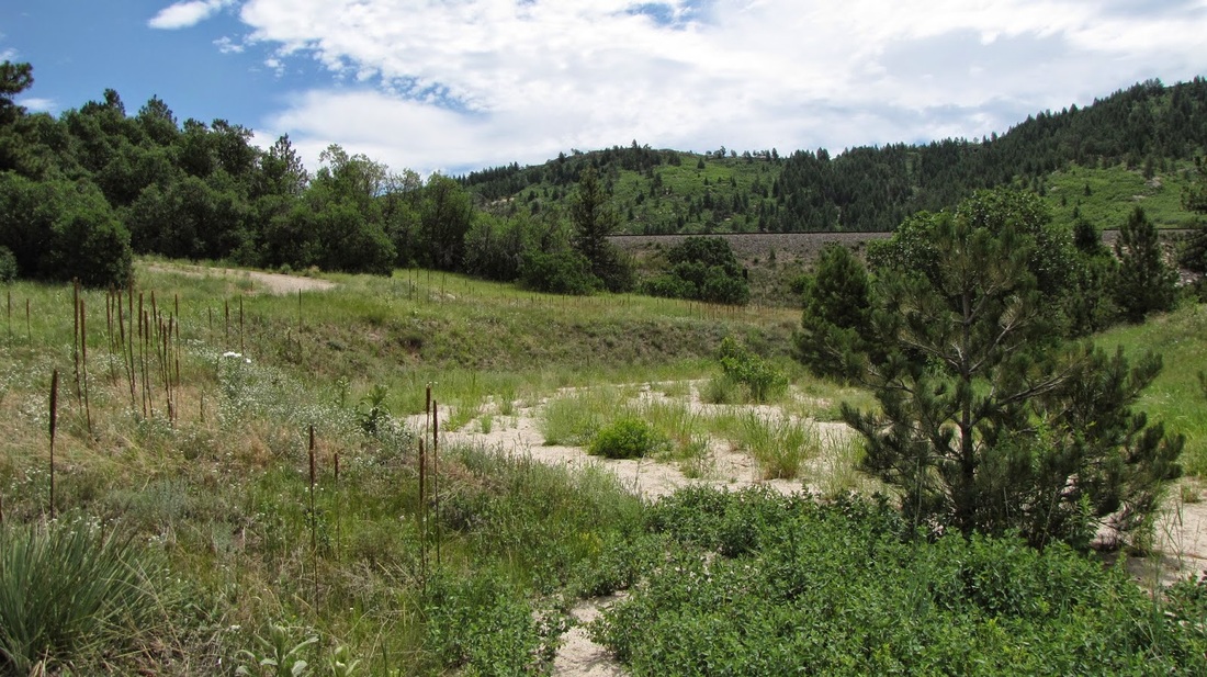
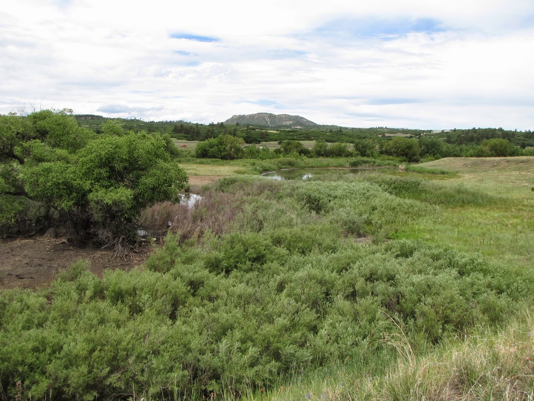
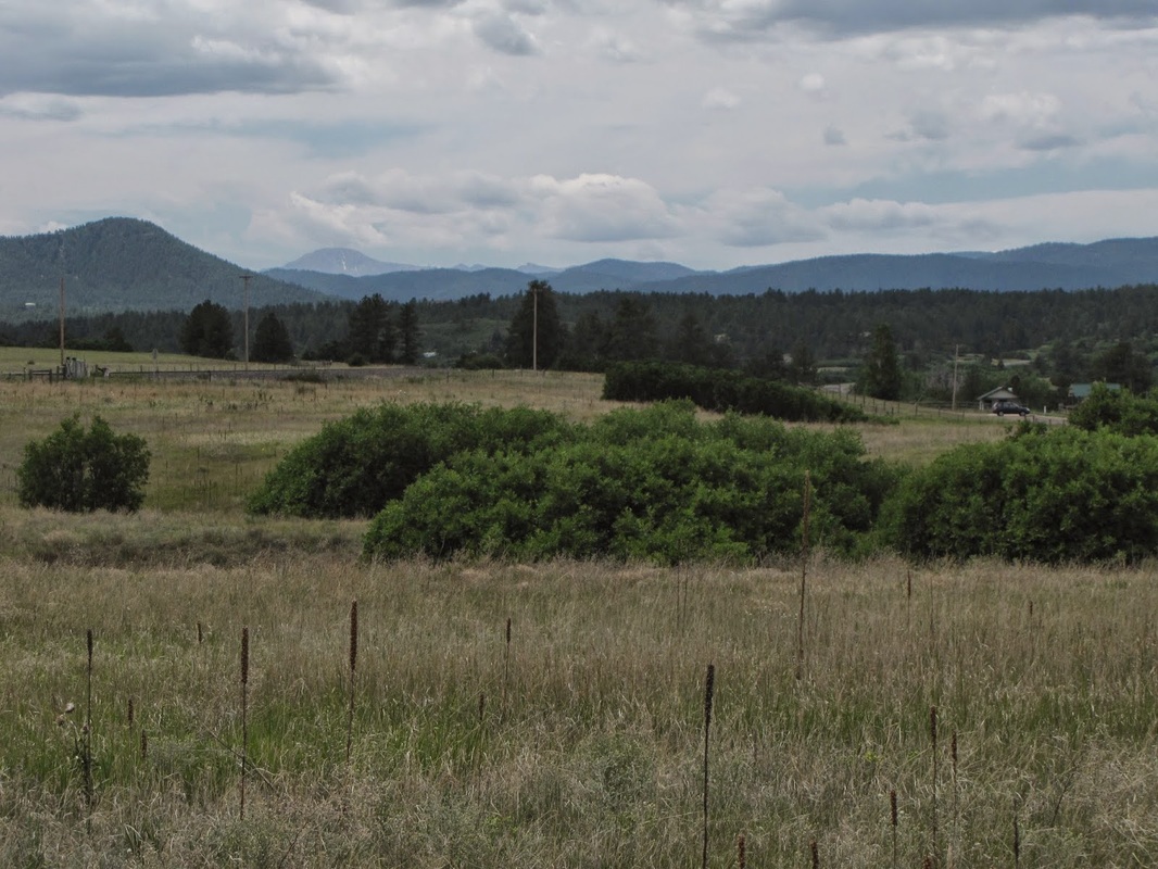
Columbine Open Space is a small natural area wedged between the train tracks and I-25. If you can get past the coal trains and the highway traffic, you might enjoy the otherwise very pleasant trail. There are two loop trails, one leaves the parking lot and heads south, one north. Doing both loops is abound 2 1/2 miles. The north trail has a small pond and some views of Pike's Peak in the far distance. The south trail is longer and has nice views of the surrounding buttes and Devil's Head and the Rampart Range to the west. There is an old historic red barn that is interesting to explore. While this trail is close to Castle Rock, considering the many nearby hiking options, Columbine OS is often overlooked...it's nice, but not as nice as Spruce Mountain OS or Greenland OS... |
|
- HOME
- ABOUT
-
HIKES BY REGION
-
NATIONAL PARK HIKES
- BENT'S OLD FORT NATIONAL HISTORIC SITE
- BLACK CANYON OF THE GUNNISON NATIONAL PARK
- COLORADO NATIONAL MONUMENT
- CURECANTI NATIONAL RECREATION AREA
- DINOSAUR NATIONAL MONUMENT
- FLORISSANT FOSSIL BEDS NATIONAL MONUMENT
- MESA VERDE NATIONAL PARK
- ROCKY MOUNTAIN NATIONAL PARK
- GREAT SAND DUNES NATIONAL PARK
- HOVENWEEP NATIONAL MONUMENT
- SAND CREEK MASSACRE NATIONAL HISTORIC SITE
- YUCCA HOUSE NATIONAL MONUMENT
- HIKES BY CATEGORY
- NEWS
- WEBCAMS
- $UPPORT GHC
- INTERACTIVE MAP
North & South Loop Trails
Columbine Open Space
Distance: 2.6 mi (RT)
Elevation Gain: 200ft
Elevation: 6,600ft
Managing Agency: Douglas County Open Space
Fee: None