|
Directions: From Denver and Castle Rock take I-25 south to exit 182 (Wolfensberger/Wilcox). Take Wilcox east and when it turns into Frontage Road stay on it for 1.6 mi. Turn left on Crystal Valley Parkway for 2 miles. Turn left into Rhyolite Regional Park.
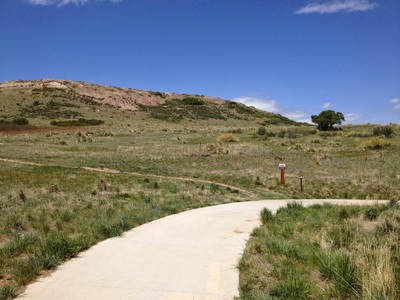
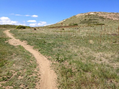
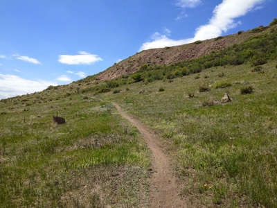
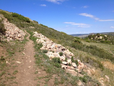
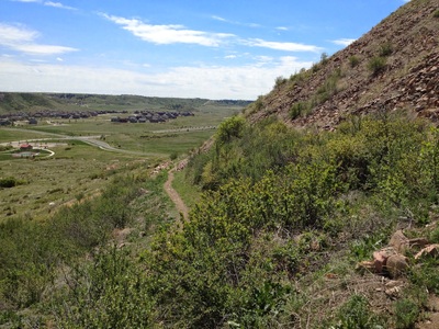
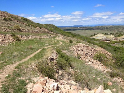
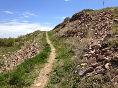
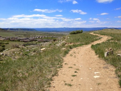
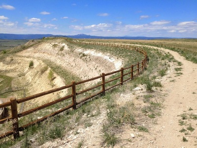
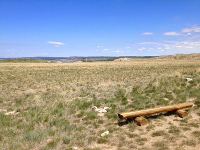
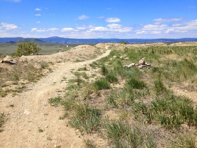
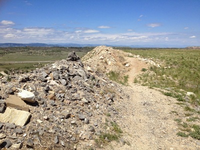
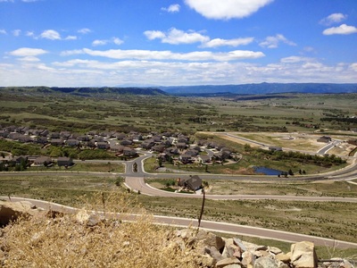
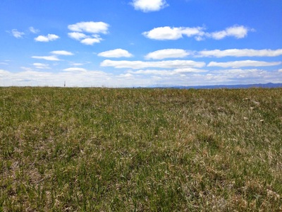
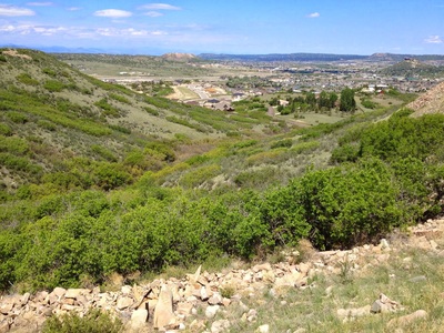
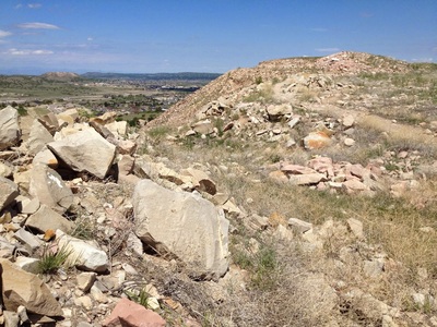
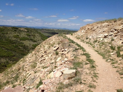
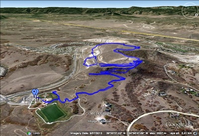
Quarry Mesa Open Space occupies the site of a former Quarry (hence the name...). The majority of the park is located on the top of the mesa and there are still remnants of the Quarry to be seen. The trail starts in Rhyolite Regional Park crossing the open plains. There are signs warning of Rattlesnakes, and for good reason as I encountered one myself. Follow the trail for .7 miles as it switchbacks up the mesa, entering Quarry Mesa Open Space. Once on top of the mesa, follow the Madge Trail around the rim of the mesa and through the old Quarry fields. There are great views of the Front Range including Devil's Head and in the distance, on a clear day, you can make out Pike's Peak and Mt. Evans. Loop around the mesa and return to the trail heading down into Rhyolite Regional Park. |
- HOME
- ABOUT
-
HIKES BY REGION
-
NATIONAL PARK HIKES
- BENT'S OLD FORT NATIONAL HISTORIC SITE
- BLACK CANYON OF THE GUNNISON NATIONAL PARK
- COLORADO NATIONAL MONUMENT
- CURECANTI NATIONAL RECREATION AREA
- DINOSAUR NATIONAL MONUMENT
- FLORISSANT FOSSIL BEDS NATIONAL MONUMENT
- MESA VERDE NATIONAL PARK
- ROCKY MOUNTAIN NATIONAL PARK
- GREAT SAND DUNES NATIONAL PARK
- HOVENWEEP NATIONAL MONUMENT
- SAND CREEK MASSACRE NATIONAL HISTORIC SITE
- YUCCA HOUSE NATIONAL MONUMENT
- HIKES BY CATEGORY
- NEWS
- WEBCAMS
- $UPPORT GHC
- INTERACTIVE MAP
Quarry Mesa Open Space
Rhyolite Regional Park
Date Hiked: May 6, 2012
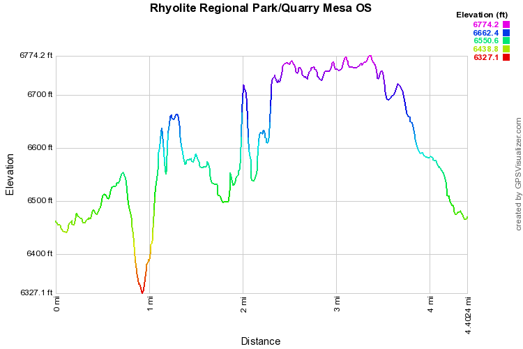
Distance: 4.4 mi (RT)
Elevation Gain: 450ft
Elevation Min/Max: 6,327 to 6,774
Managing Agency: Douglas County Open Space
Fee: None

