|
Directions: From Estes Park head south on Hwy 7, past the Longs Peak Ranger Station to the Wild Basin Park Entrance. Turn right into the park and follow the road until you reach the Finch Lake Trailhead.
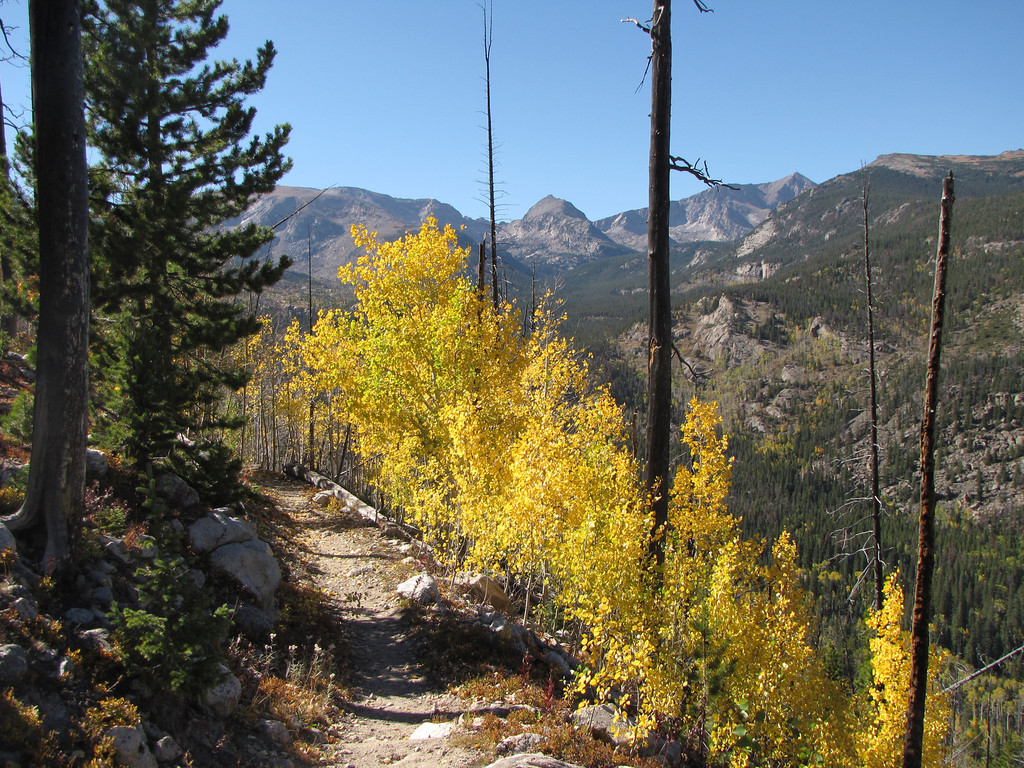
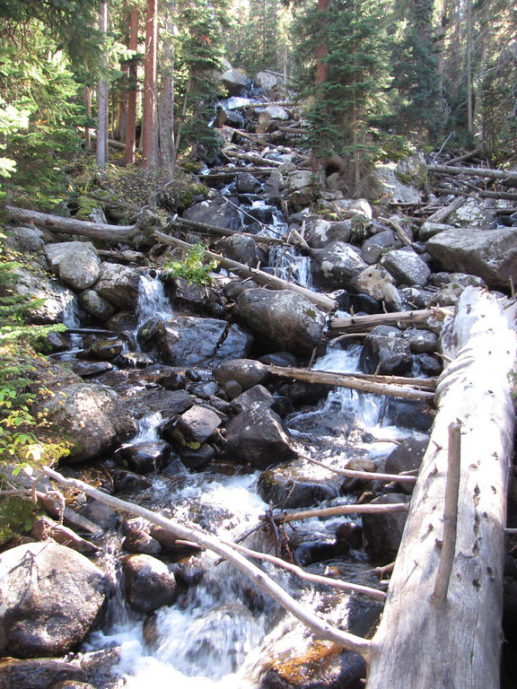
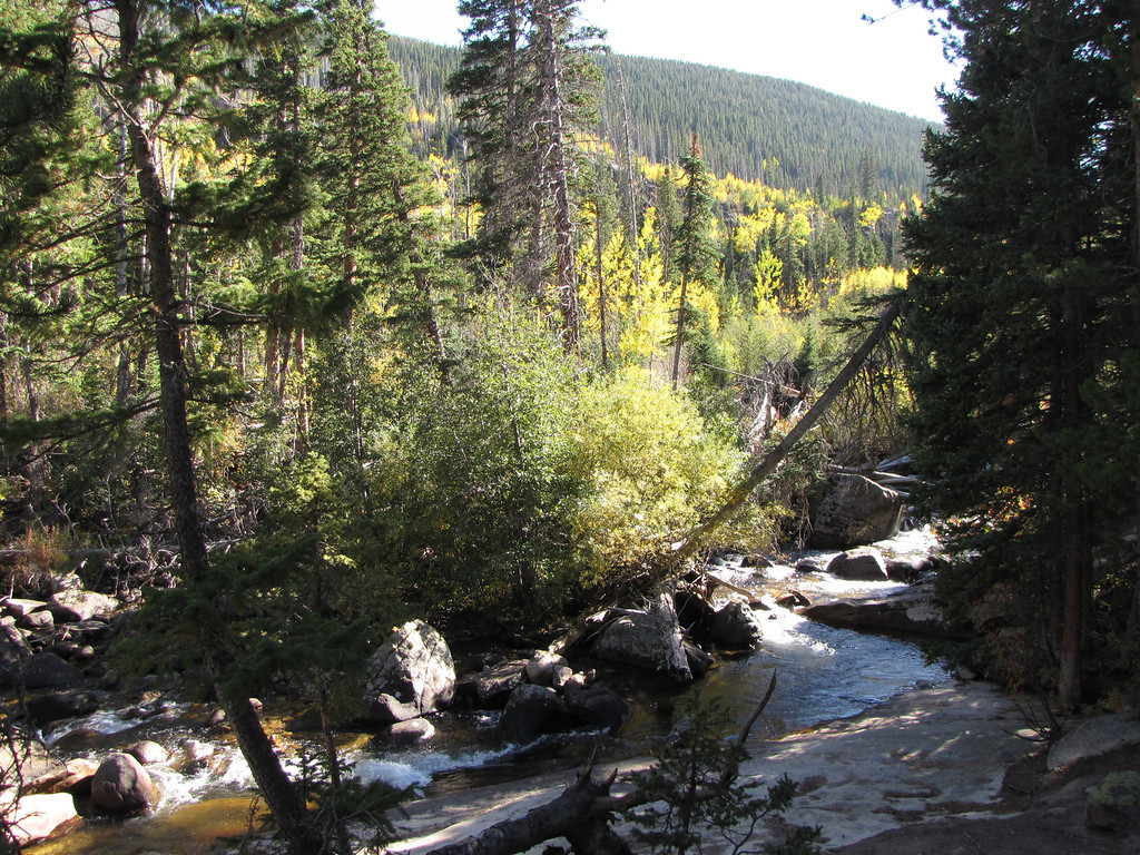
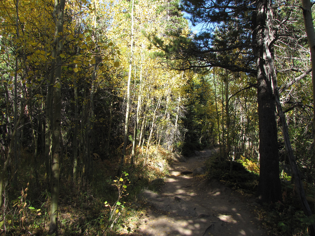
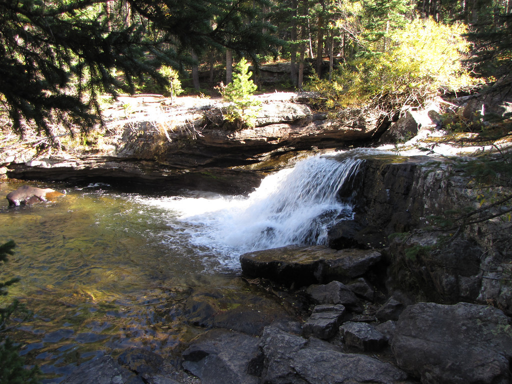
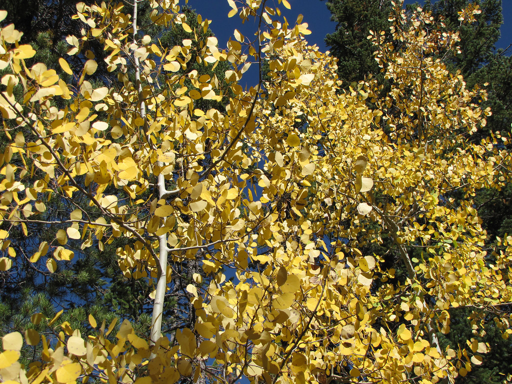
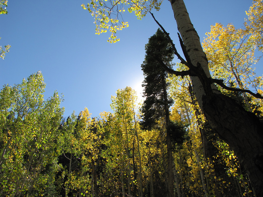
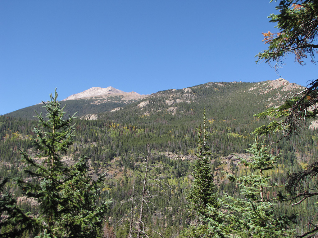
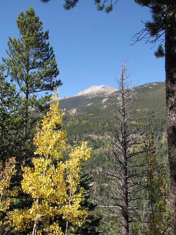
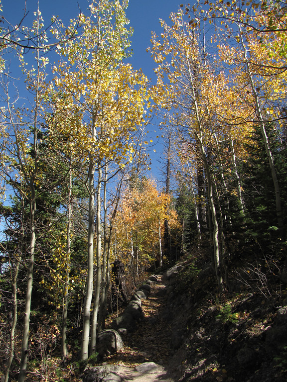
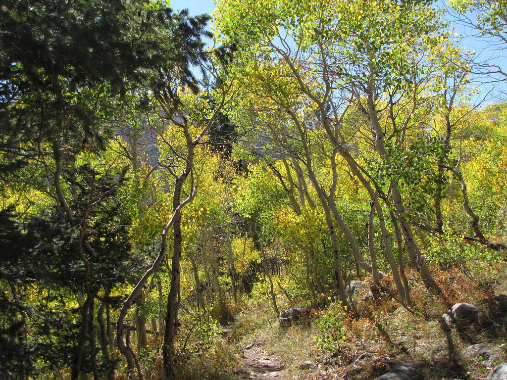
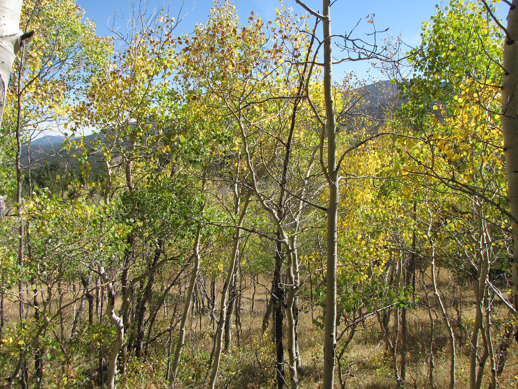
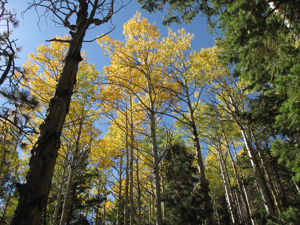
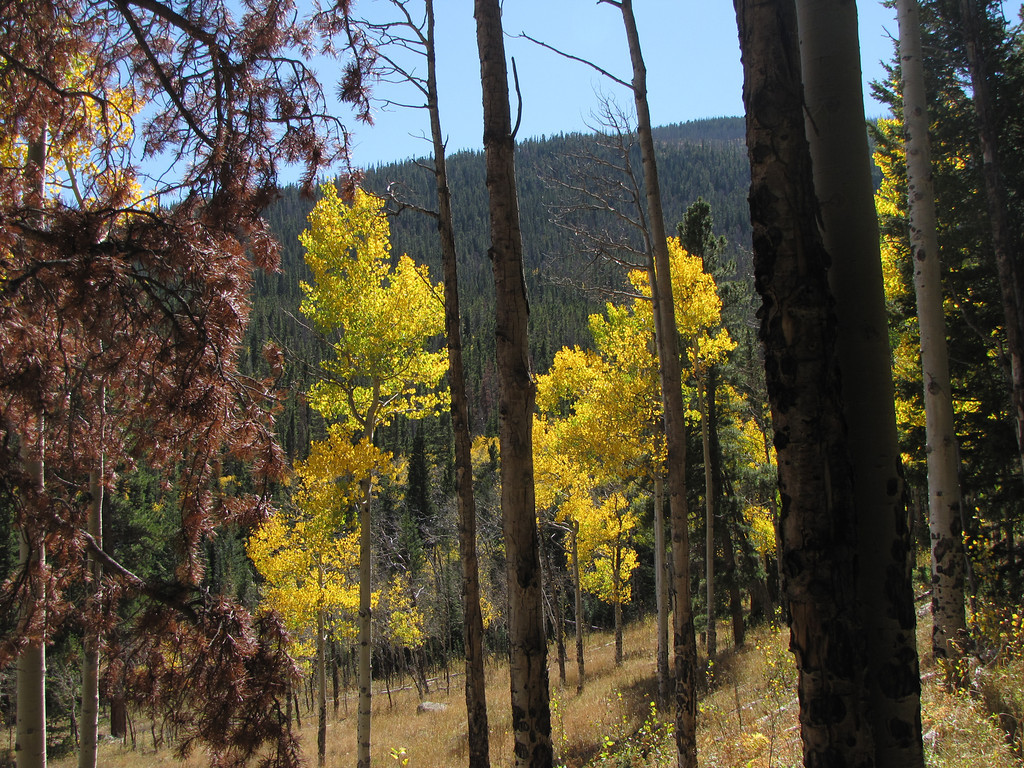
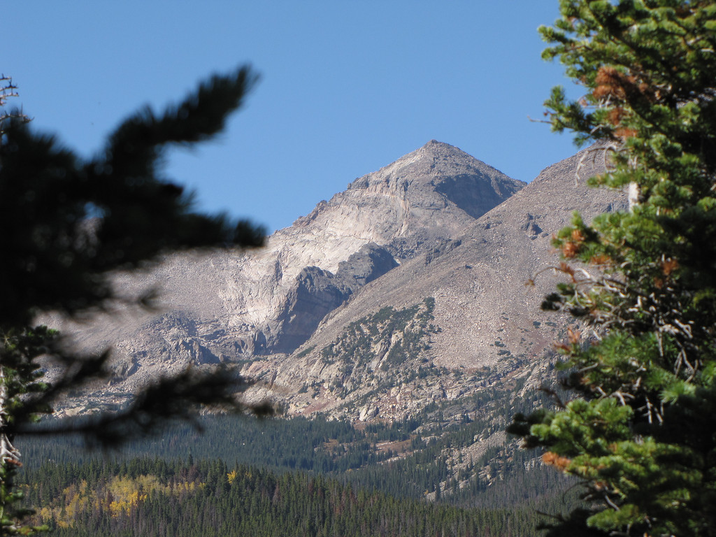
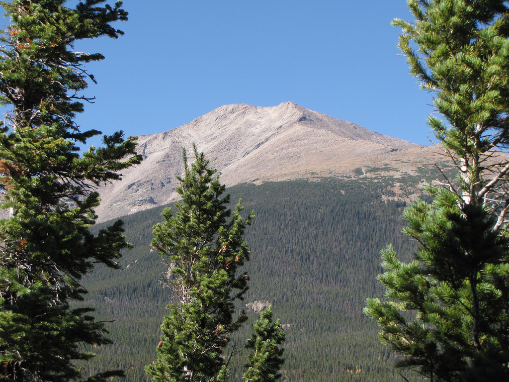
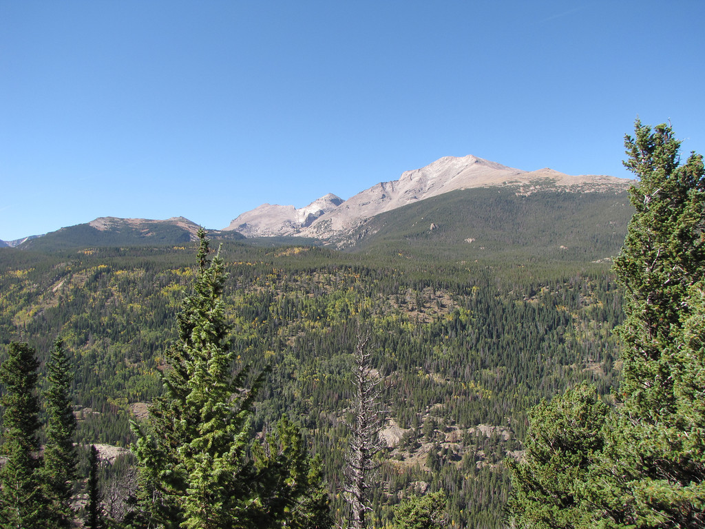
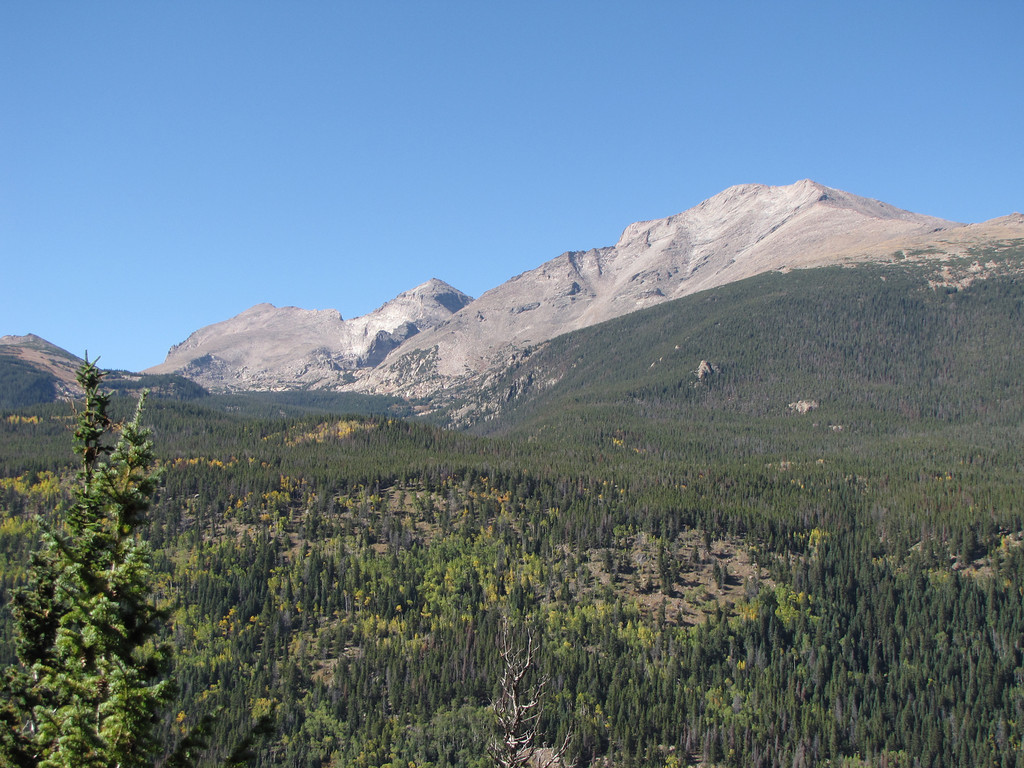
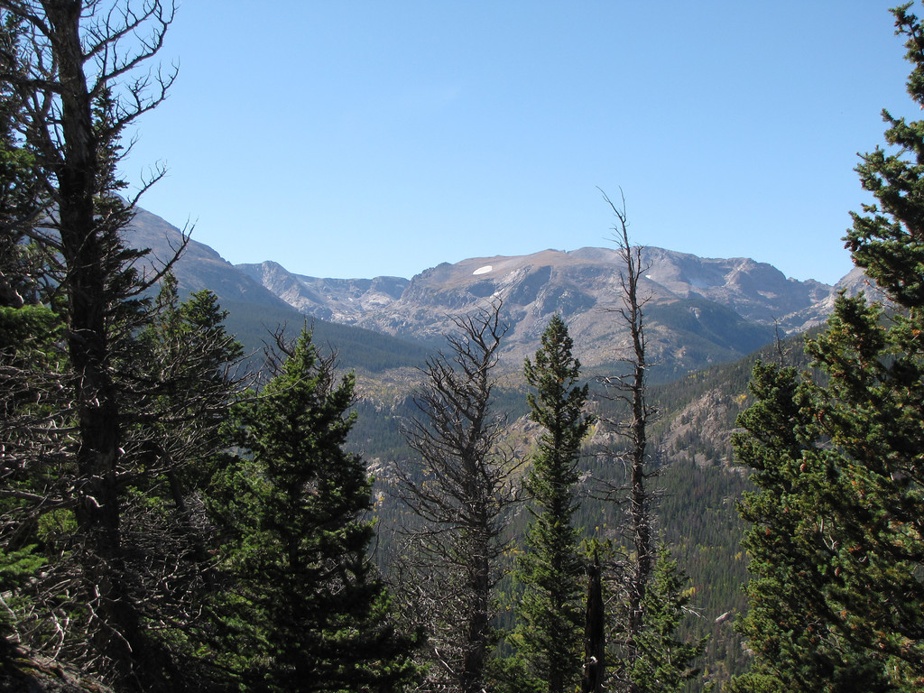
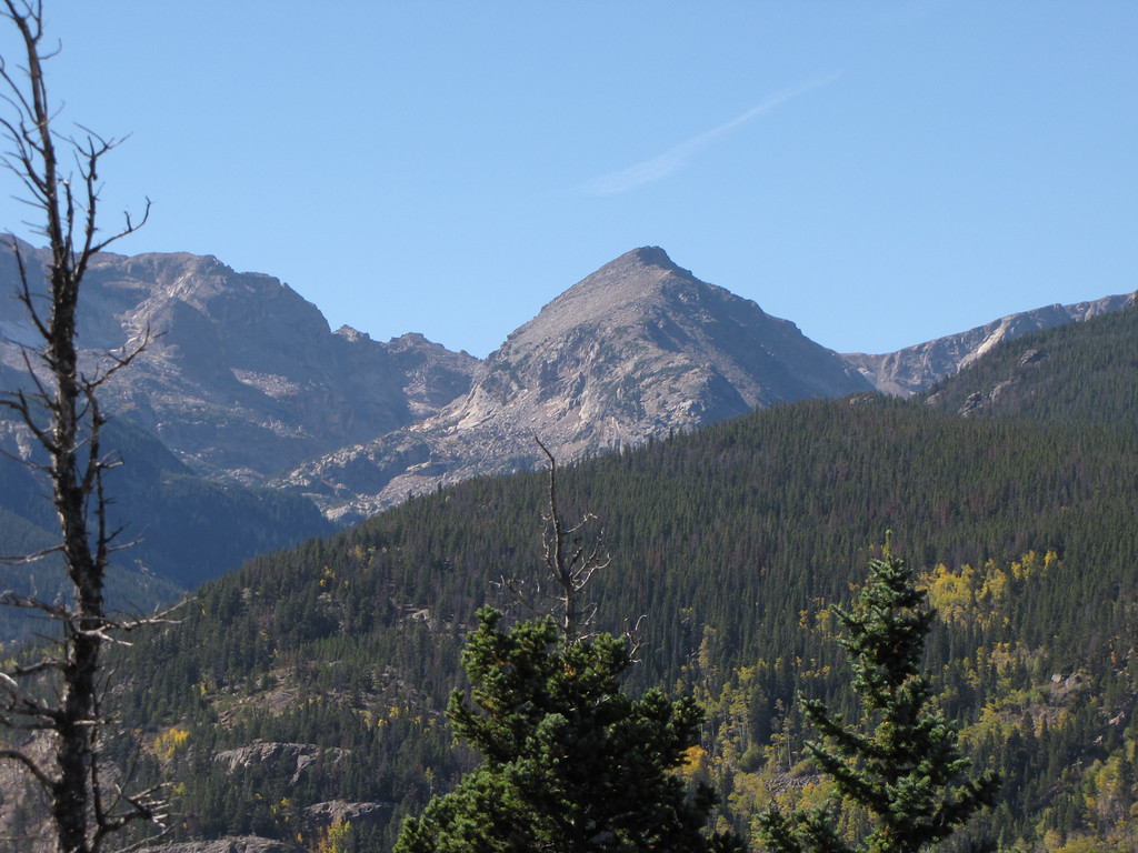
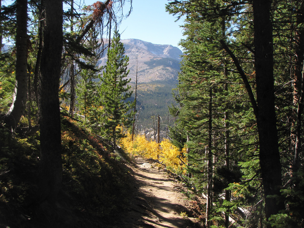
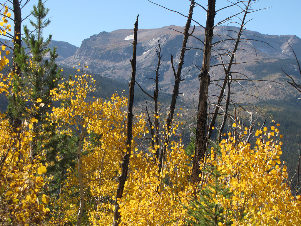
This hike is the scenic route to Calypso Cascades...well...the scenicer route... Start from the Finch Lake Trailhead in the Wild Basin area of Rocky Mountain National Park. The Finch Lake Trail begins by heading east up a gentle north facing slope to the top of a forested ridge. The trail continues down the south face of the ridge through a fall color wonderland. The Aspen groves along this portion of the hike are nothing short of magical. As you descend the ridge you'll soon reach a trail junction, turn right, and another in about 1 mile. At the second junction turn right (west). Staying Straight on the Finch Trail will take you to Finch Lake in about 2 miles. However, to get to the cascades you need to turn right at this junction. This next portion of the trail skirts the side of a mountain and the views of the Wild Basin open up. This is a very pretty section of trail especially in the fall when the golden colors are superimposed against the stark granite of Mt. Meeker, Pagoda Mountain, and Chief's Head Peak. After about 1.5 miles you'll reach the dark forested Calypso Cascades and the wood footbridges that let you explore this area. To get back to the trailhead, head north and quickly turn back east following St. Vrain Creek and the numerous trail signs (and fellow hikers). Along the way back you can stop and see Copeland Falls, just before returning to the trailhead and parking area. |
|
- HOME
- ABOUT
-
HIKES BY REGION
-
NATIONAL PARK HIKES
- BENT'S OLD FORT NATIONAL HISTORIC SITE
- BLACK CANYON OF THE GUNNISON NATIONAL PARK
- COLORADO NATIONAL MONUMENT
- CURECANTI NATIONAL RECREATION AREA
- DINOSAUR NATIONAL MONUMENT
- FLORISSANT FOSSIL BEDS NATIONAL MONUMENT
- MESA VERDE NATIONAL PARK
- ROCKY MOUNTAIN NATIONAL PARK
- GREAT SAND DUNES NATIONAL PARK
- HOVENWEEP NATIONAL MONUMENT
- SAND CREEK MASSACRE NATIONAL HISTORIC SITE
- YUCCA HOUSE NATIONAL MONUMENT
- HIKES BY CATEGORY
- NEWS
- WEBCAMS
- $UPPORT GHC
- INTERACTIVE MAP
Calypso Cascades via Finch Lake Trail
Rocky Mountain National Park
September 25, 2010
Distance: 4.5 mi (RT)
Elevation Gain: 450ft
Managing Agency: National Park Service
Fee: None