|
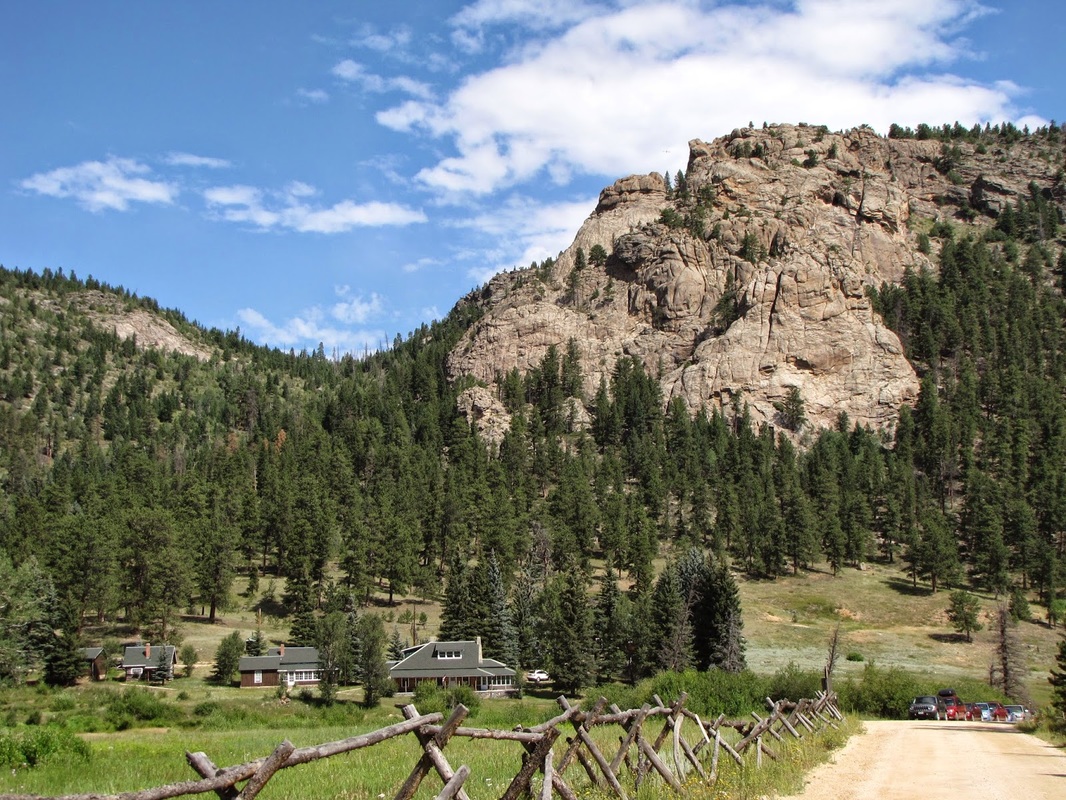
Directions: This hike starts at the Cow Creek Trailhead. From Downtown Estes Park, take Hwy 34 (Fall River Road) north and make a right on Devil's Gulch Road. Take Devil's Gulch Road past the Lumpy Ridge Trailhead and make a left on McGraw Ranch Road. This road ends at the McGraw Ranch which is where the Cow Creek Trailhead is situated. There is no fee to enter the park here.
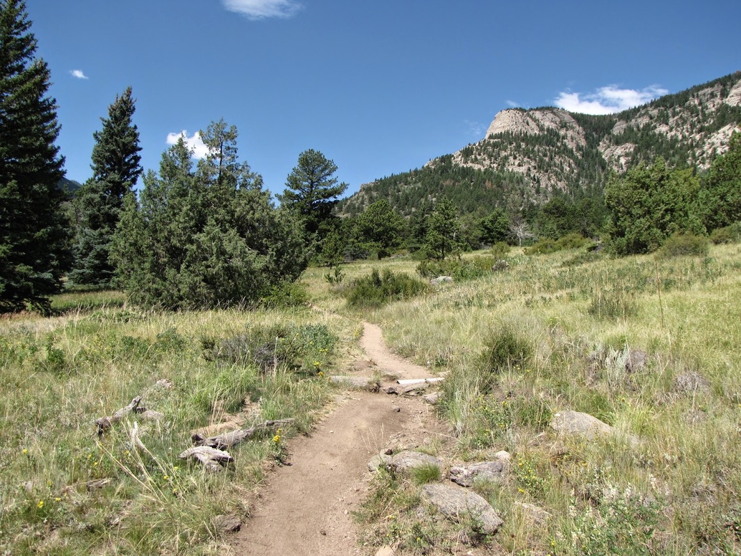
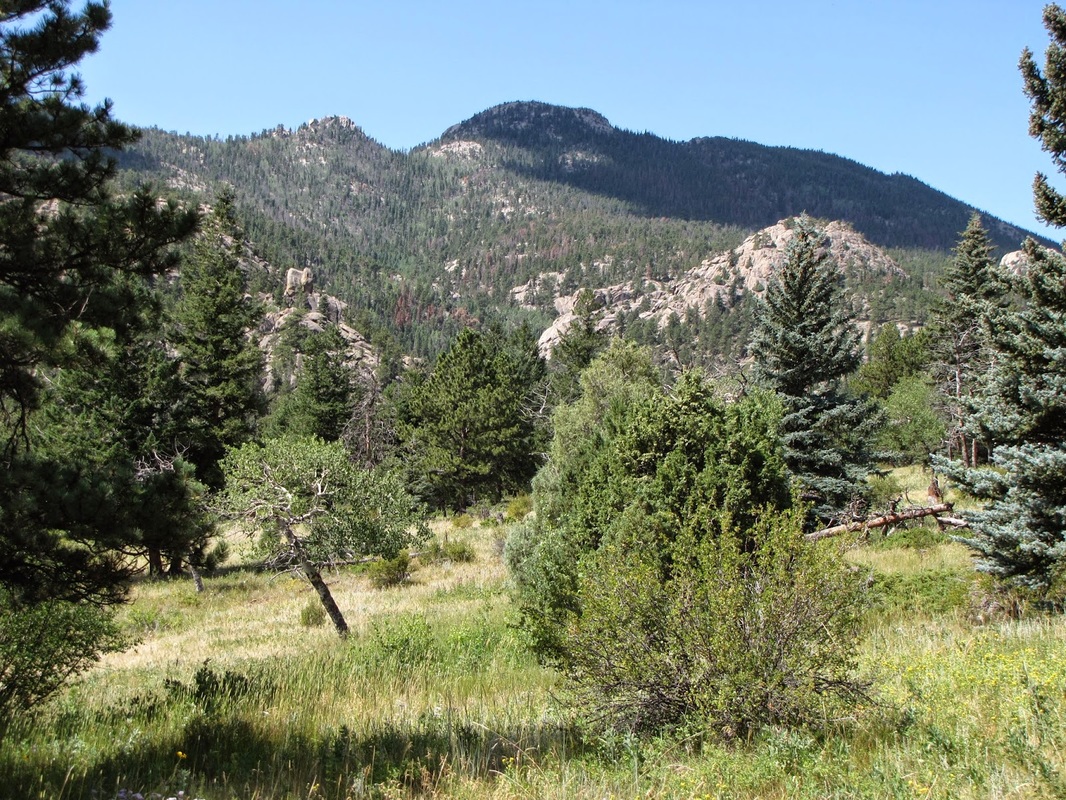
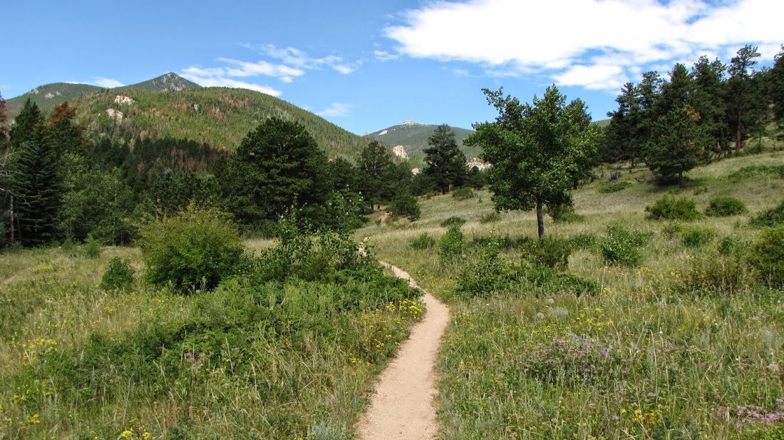
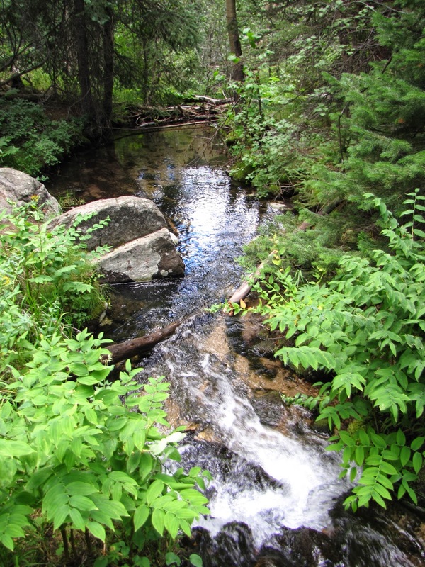
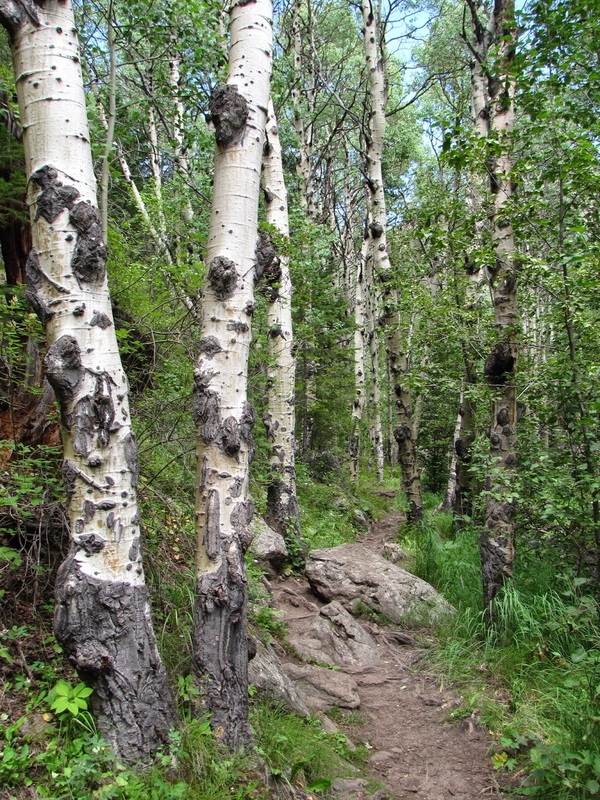
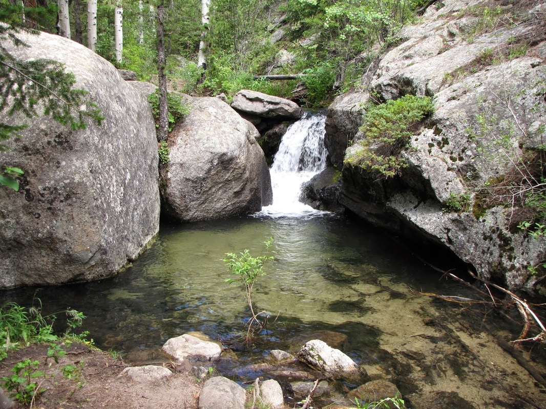
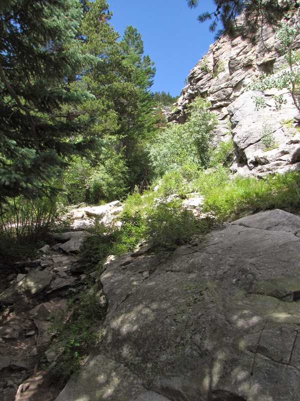
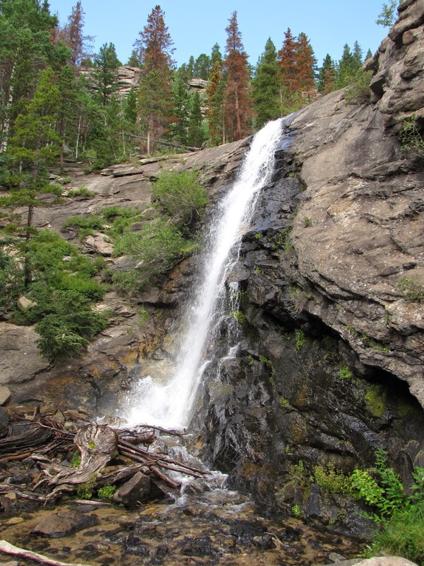
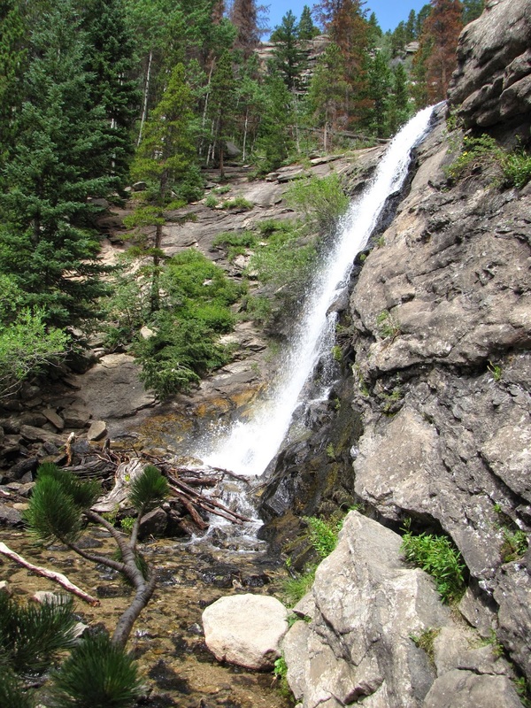
It seems like every National Park has a Bridal Veil Falls and Rocky is no exception. Although this waterfall pales in comparison to the Yosemite version, it is still a very nice fall and makes for a wonderful hike. You don't get the high peak adventure of the interior of the park, but you can hike here during the shoulder seasons without as much gear or planning. From the Cow Creek Trailhead, travel west along the well defined trail following the sign to Bridal Veil Falls. As you hike along the mostly level trail you get great views of the backside of Lumpy Ridge, and abundant wildflowers if your timing is right. After about 2.5 miles, follow the signs and turn north. The next part of the trail gets a bit steeper and enters dense forest. There are many aspen groves along this stretch and I bet it would be spectacular in the fall. The trail follows the creek, crossing it here and there. As you near the falls the trail and the surrounding canyon gets rockier, all of a sudden you'll turn a corner and be face to face with the 20 ft waterfall. Even in August, the waterfall is beautiful. This trail does not get many visitor so chances are you'll be able to sit and relax in this idyllic spot for a few peaceful moments. |
|
- HOME
- ABOUT
-
HIKES BY REGION
-
NATIONAL PARK HIKES
- BENT'S OLD FORT NATIONAL HISTORIC SITE
- BLACK CANYON OF THE GUNNISON NATIONAL PARK
- COLORADO NATIONAL MONUMENT
- CURECANTI NATIONAL RECREATION AREA
- DINOSAUR NATIONAL MONUMENT
- FLORISSANT FOSSIL BEDS NATIONAL MONUMENT
- MESA VERDE NATIONAL PARK
- ROCKY MOUNTAIN NATIONAL PARK
- GREAT SAND DUNES NATIONAL PARK
- HOVENWEEP NATIONAL MONUMENT
- SAND CREEK MASSACRE NATIONAL HISTORIC SITE
- YUCCA HOUSE NATIONAL MONUMENT
- HIKES BY CATEGORY
- NEWS
- WEBCAMS
- $UPPORT GHC
- INTERACTIVE MAP
Bridal Veil Falls
Rocky Mountain National Park
Date Hiked: August 12, 2011