GO HIKE COLORADO
Get in Touch:
  • HOME
  • ABOUT
  • HIKES BY REGION
    • DENVER AREA >
      • Denver Mountain Parks
      • Jefferson County Open Space
      • Lakewood Parks
      • Denver Area Greenways
    • BOULDER AREA
    • DOUGLAS COUNTY
    • FORT COLLINS AREA
    • COLORADO SPRINGS AREA
    • FRONT RANGE
    • TENMILE & MOSQUITO RANGES
    • GORE RANGE
    • SANGRE DE CRISTO MOUNTAINS
    • PARK RANGE
    • SAWATCH RANGE
    • ELK MOUNTAINS
    • SAN JUAN MOUNTAINS
    • THE FLAT TOPS
    • GRAND MESA
    • COLORADO PLATEAU
    • EASTERN PLAINS
  • NATIONAL PARK HIKES
    • BENT'S OLD FORT NATIONAL HISTORIC SITE
    • BLACK CANYON OF THE GUNNISON NATIONAL PARK
    • COLORADO NATIONAL MONUMENT
    • CURECANTI NATIONAL RECREATION AREA
    • DINOSAUR NATIONAL MONUMENT
    • FLORISSANT FOSSIL BEDS NATIONAL MONUMENT
    • MESA VERDE NATIONAL PARK
    • ROCKY MOUNTAIN NATIONAL PARK
    • GREAT SAND DUNES NATIONAL PARK
    • HOVENWEEP NATIONAL MONUMENT
    • SAND CREEK MASSACRE NATIONAL HISTORIC SITE
    • YUCCA HOUSE NATIONAL MONUMENT
  • HIKES BY CATEGORY
    • HIKES TO ALPINE LAKES
    • HIKES TO PEAKS & PASSES
    • HIKES THROUGH CANYONS
    • HIKES WITH FALL COLORS
    • HIKES ALONG THE I-70 CORRIDOR
    • HIKES ON PAVED TRAILS
    • HIKES FOR KIDS
    • HIKES TO WATERFALLS
    • HIKES ALONG RIVERS
    • HIKES WITH ROCK FORMATIONS
    • HIKES WITH WILDFLOWERS
    • WINTER HIKES
  • NEWS
  • WEBCAMS
  • $UPPORT GHC
  • INTERACTIVE MAP

Estes Cone
Rocky Mountain National Park

Date Hiked: October 18, 2012

Distance: 7.4 mi (RT)

  • Elevation Gain: 1,600ft
  • Elevation Min/Max: 9,419 to 11,025ft
  • Managing Agency: National Park Service
  • Fee: None

Rocky Mountain NP Website
Picture

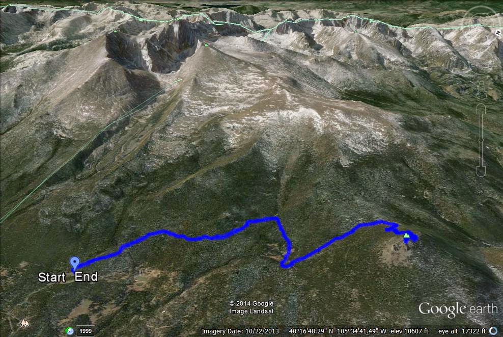
Directions:  The hike starts from the Longs Peak parking area and trailhead.  From Estes Park head south on Hwy 7 from Lyons head north on Hwy 7.  Turn West on Longs Peak Road and take it to the parking area.  There is no fee to enter the park from this trailhead.

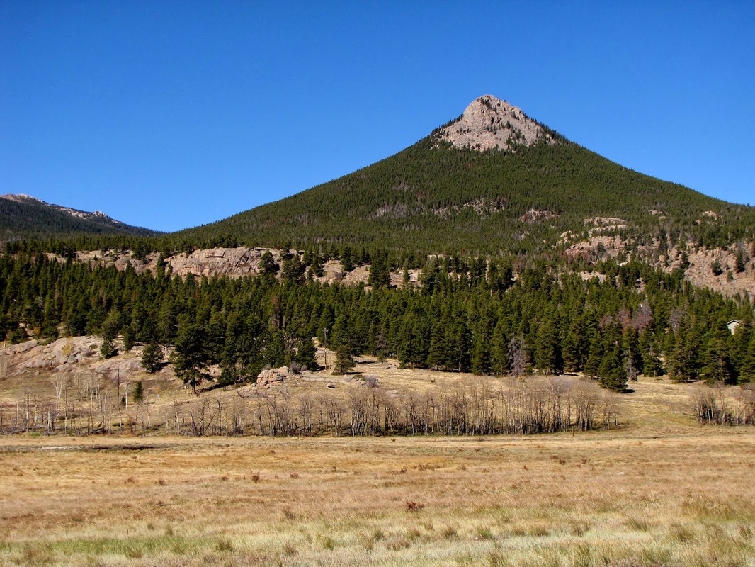
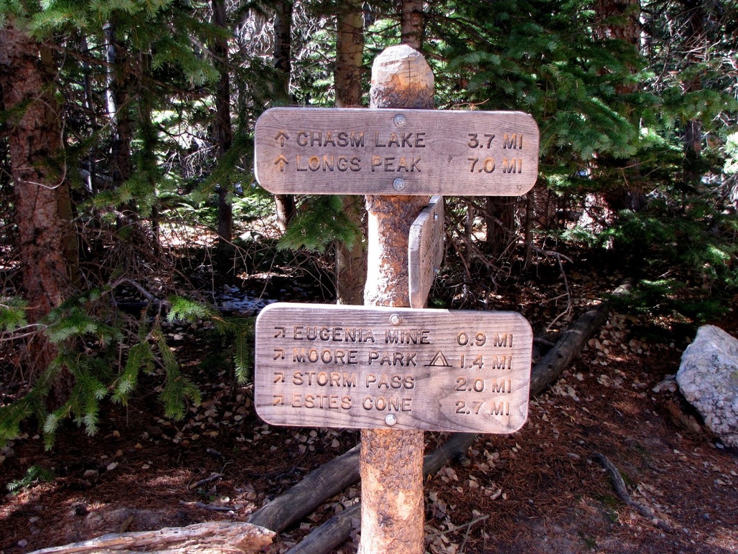
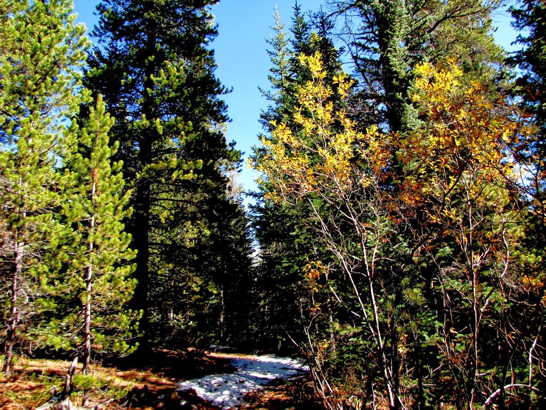
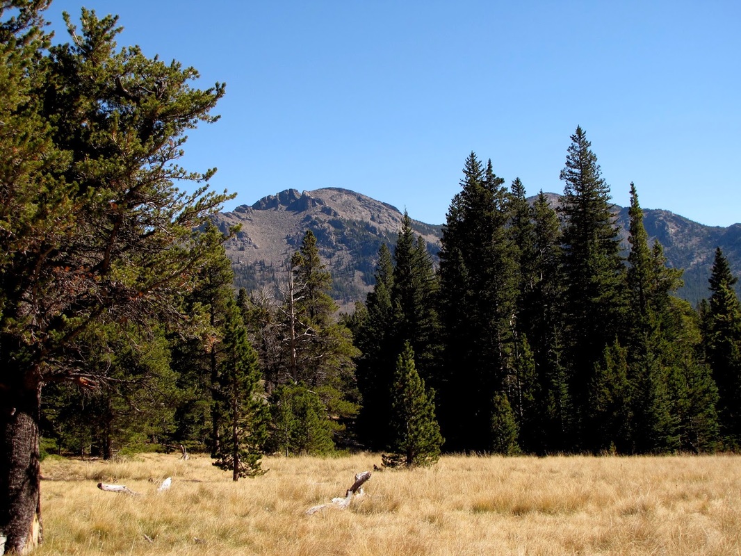
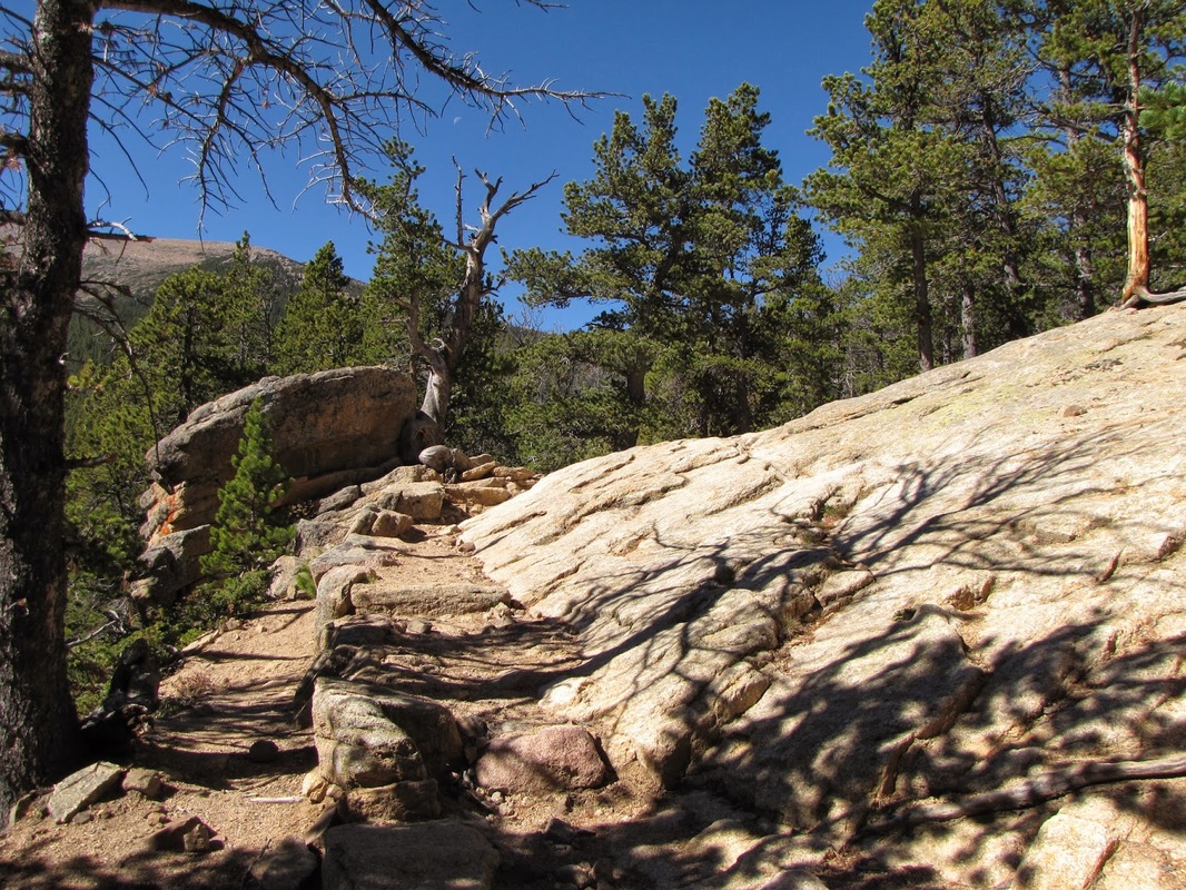
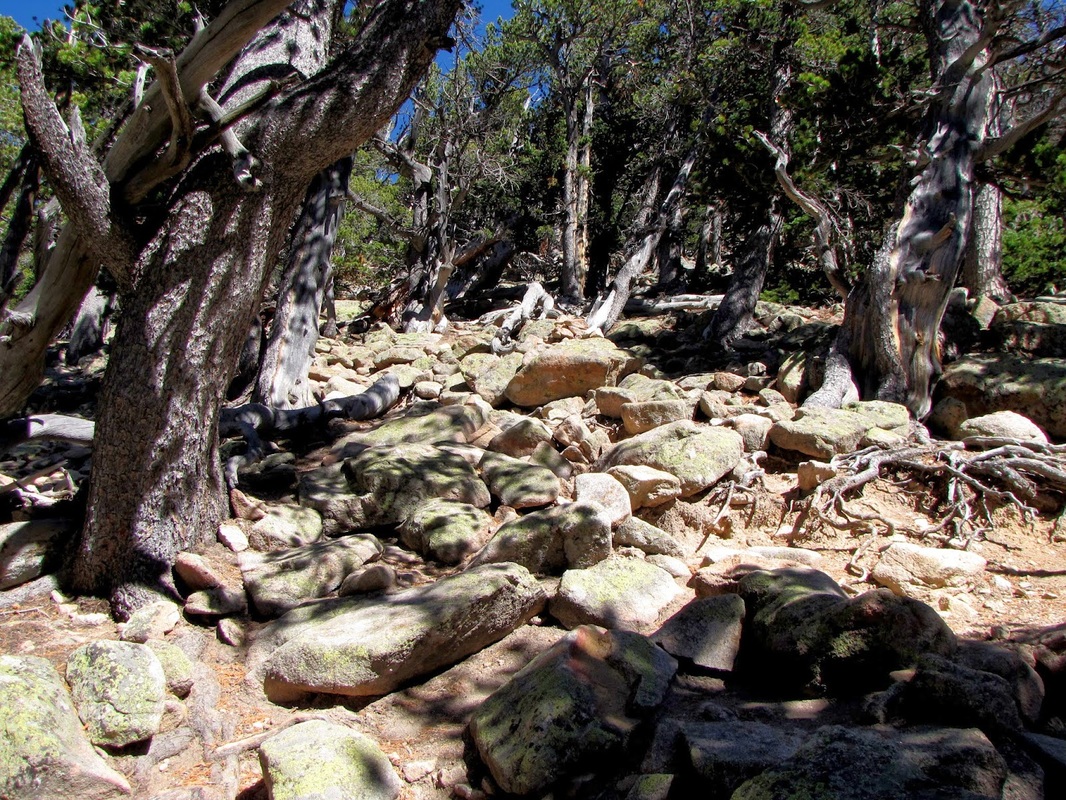
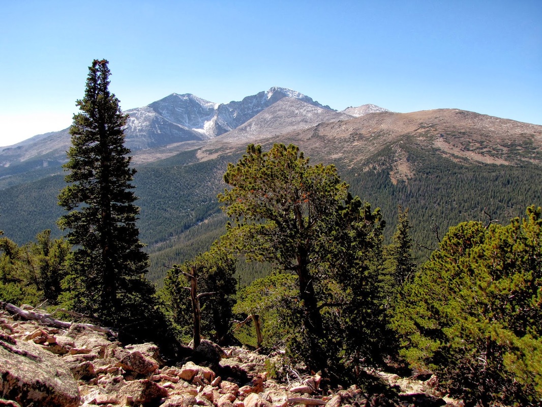
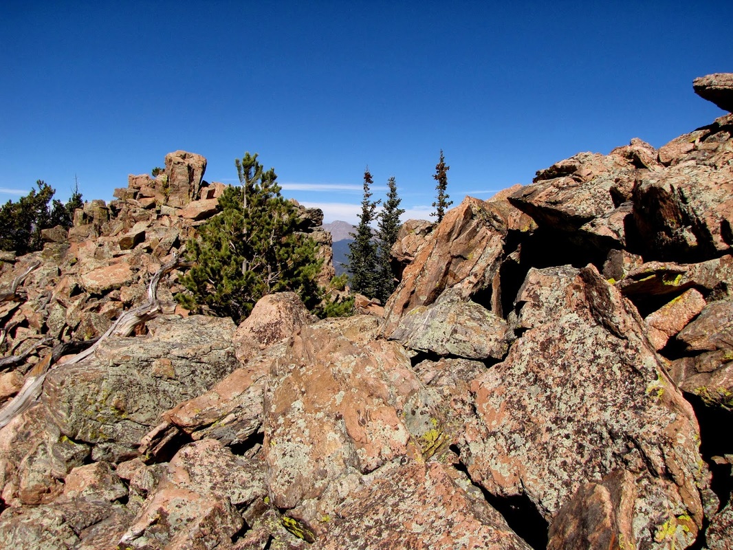
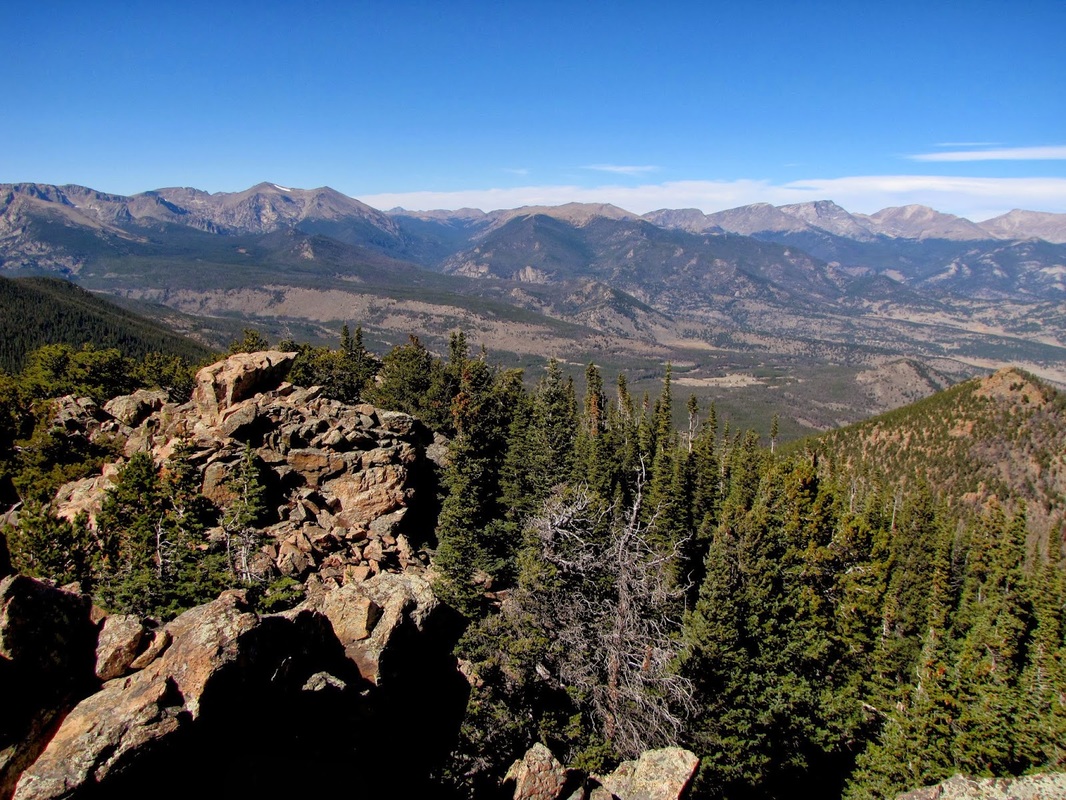
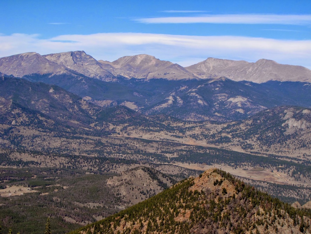
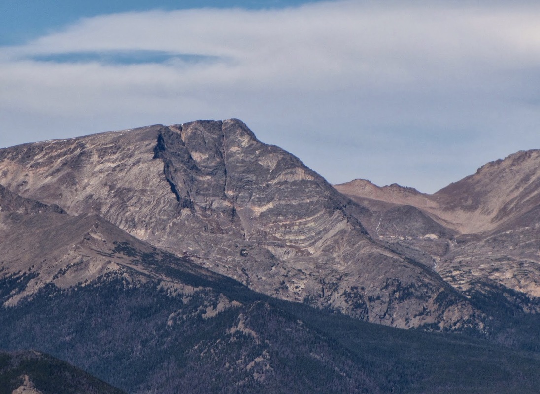
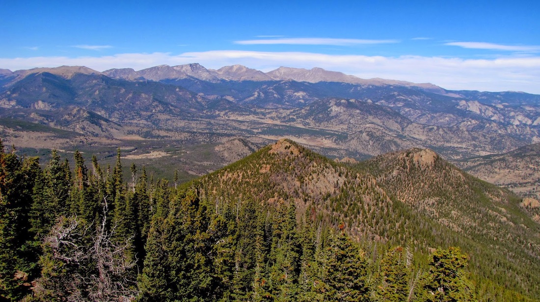
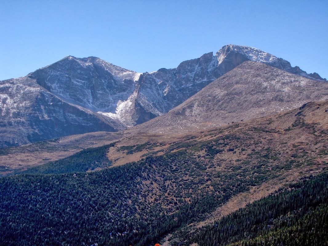
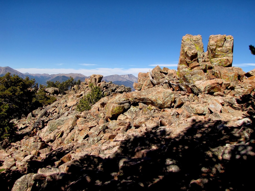
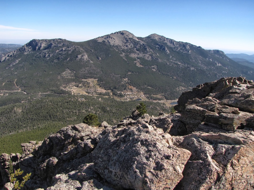
The hike up to Estes Cone gives you one of the best views from the east of Rocky Mt. NP.  You can see straight into the Longs/Meeker Massif, Three Sisters Peaks is almost within arms reach, and the Continental Divide stretches out in front of you.  The hike itself makes for a pleasant walk in the woods, with a steep section after you reach Storm Pass.  The real fun of this hike, is the short scramble up the to the rocky summit.  You'll need your hands, to both climb, and to hold on to your hat if the wind is blowing. 

The hike is self explanatory, there are good signs all the way to the summit.  Take a few minutes along the way to explore the Eugenia Mine site.  Once on top, soak in the view.  Longs Peak will beckon you to continue hiking, as it did to me more than 25 years ago. 
Powered by Create your own unique website with customizable templates.