|
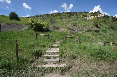
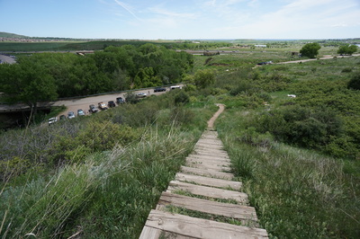
Directions: From Denver take I70 or Hwy 6 to C470 east and exit at the Morrison Exit. Once you exit the highway make the first left into a somewhat difficult to see parking area and side road. You should see the wooden stairs on the right, which serves as the trailhead.
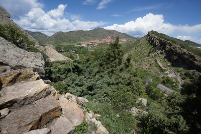
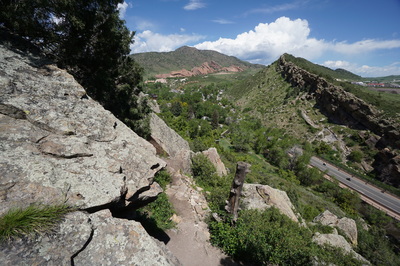
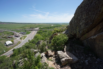
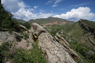
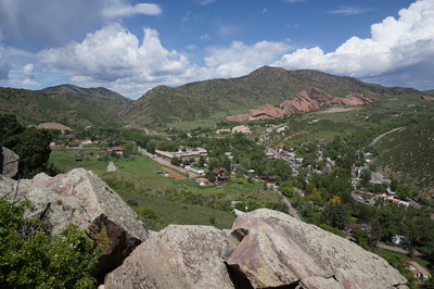
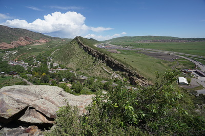
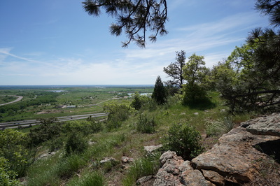
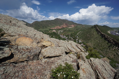
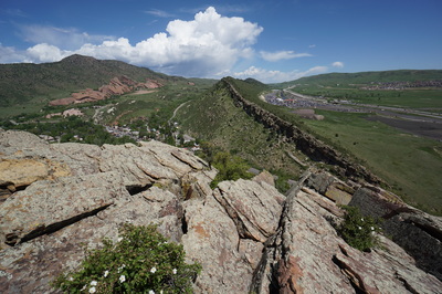
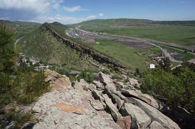
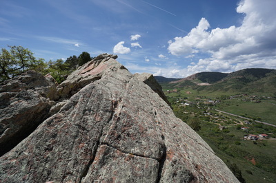
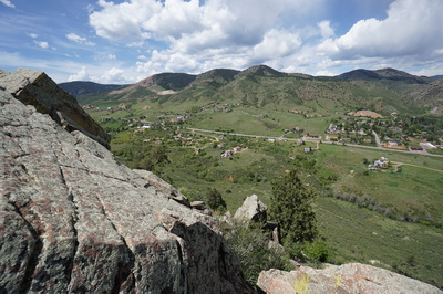
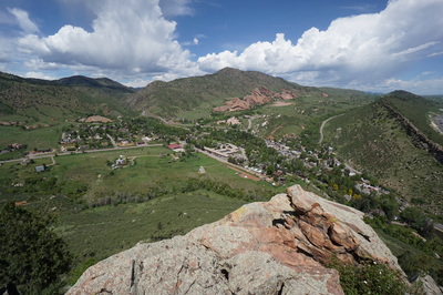
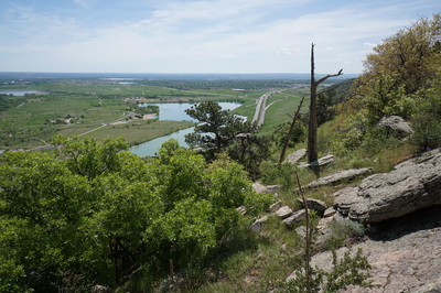
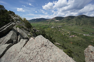
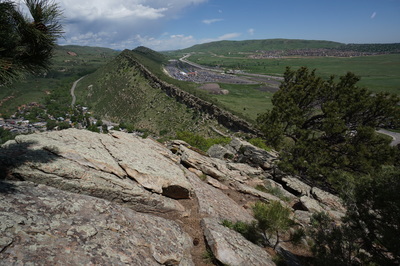
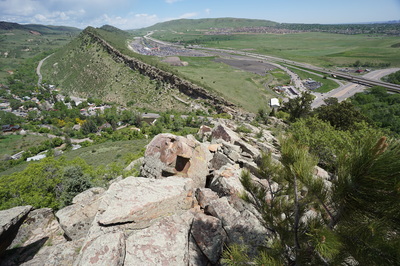
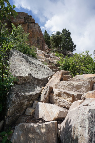
Mt. Glennon Park is located on a small portion of the Dakota Hogback just south of Red Rocks Park. There are no official hiking trails here but Jefferson County Open Space allows public access to the property. There is one trail that leads to various bouldering and climbing areas and gets significant use. The climbing access also allows you to access the numerous social trails that have been established over the years. Mt. Glennon Park is a difficult and often dangerous place to hike. However, it is also a lot of fun to explore and a good place to practice class 3 scrambling. The views from the trail are immediate and constant, and include views of the hogback to the north, Green Mountain, Morrison Mountain and Red Rocks Amphitheater.
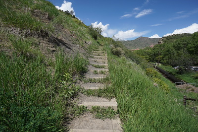
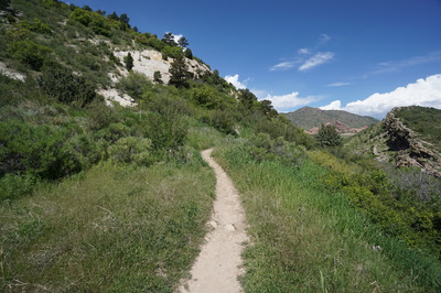
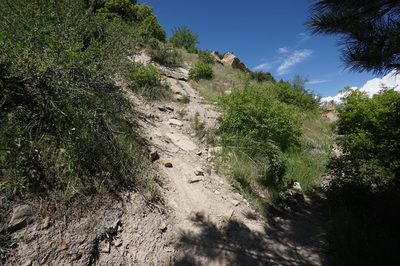
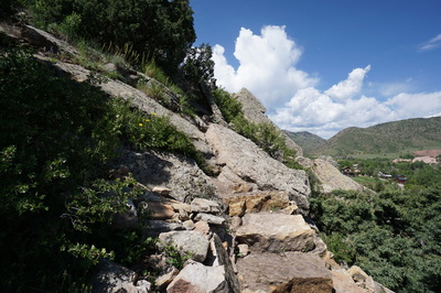
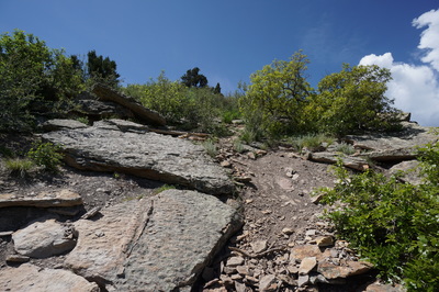
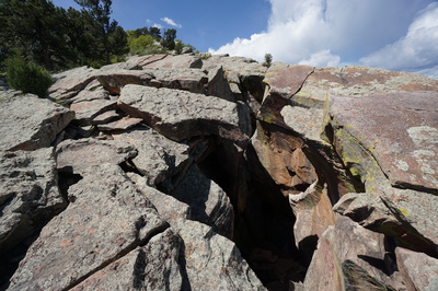
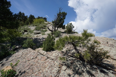
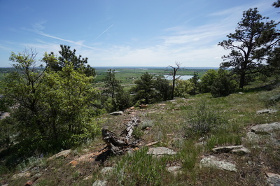
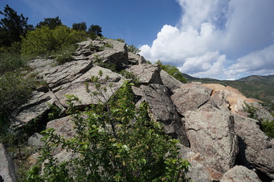
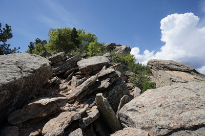
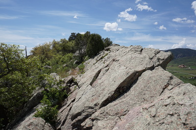
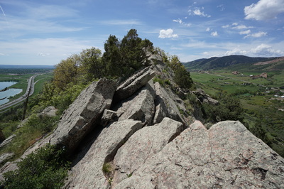
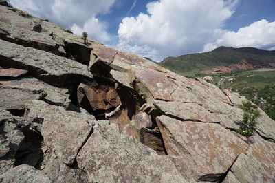
From the parking area head up the stairs and follow the obvious trail as it curves around to the north slope of the hogback. Ignore the first two social trails and stay on the main trail. As you climb up the steep trail you’ll soon arrive at a faint junction. Ahead is a notch in the rock and to the left is a steep dirt “trail.” If you go left here and climb the steep trail you’ll find yourself climbing over boulders and picking up a steep faint social trail. You can follow this route all the way to the top of the ridge, with boulder hoping, scrambling, and route-finding along the way. If you head straight at the junction and pass through the notch in the rock you’ll find yourself in an obvious climbing and bouldering area. This section has seen enough use to make the trails more defined; in fact there is a well built and maintained stone staircase here that will take you up towards the top of the ridge. At the top of the stairs you’ll intersect with the other trail and finish the climb up to the ridge on boulders and faint social trails. Either way you go, watch out for a cave/ravine that can be dangerous. Above the ravine, a good rule of thumb is to stay to the left. There are some shade trees and solid dirt path to the left of the boulders and hogback ridge that provide a safer route. When you pop up at the top of the ridge you’ll be rewarded with great views and see the remaining hogback ridge stretch out to the south. You’ll also find that the summit of the Mt. Glennon Ridge is still a ways away. You can pick a route along the ridge and explore as much as you like before heading back down. |
- HOME
- ABOUT
-
HIKES BY REGION
-
NATIONAL PARK HIKES
- BENT'S OLD FORT NATIONAL HISTORIC SITE
- BLACK CANYON OF THE GUNNISON NATIONAL PARK
- COLORADO NATIONAL MONUMENT
- CURECANTI NATIONAL RECREATION AREA
- DINOSAUR NATIONAL MONUMENT
- FLORISSANT FOSSIL BEDS NATIONAL MONUMENT
- MESA VERDE NATIONAL PARK
- ROCKY MOUNTAIN NATIONAL PARK
- GREAT SAND DUNES NATIONAL PARK
- HOVENWEEP NATIONAL MONUMENT
- SAND CREEK MASSACRE NATIONAL HISTORIC SITE
- YUCCA HOUSE NATIONAL MONUMENT
- HIKES BY CATEGORY
- NEWS
- WEBCAMS
- $UPPORT GHC
- INTERACTIVE MAP
Mt. Glennon Park
Jefferson County Open Space
Date Hiked: May 29, 2016
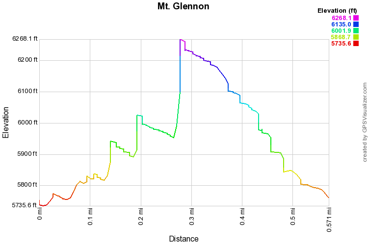
Distance: approx .6 mi (RT)
Elevation Gain: 570 ft
Elevation Min/Max: 5,736 to 6,268 ft
Trailhead Lat/Long: 39º 39' 04" N; 105º 11' 02" W
Managing Agency: Jefferson County Open Space
Fee: None

