|
Directions: From Denver, take I-70 west to Hwy 58 west. Exit at McIntyre Street and turn right (north). Turn left (west) on W. 44th Ave and right on Easley Road. The Trailhead will be up on your left and the parking pull-out is on the right.
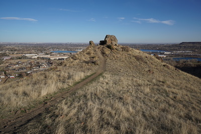
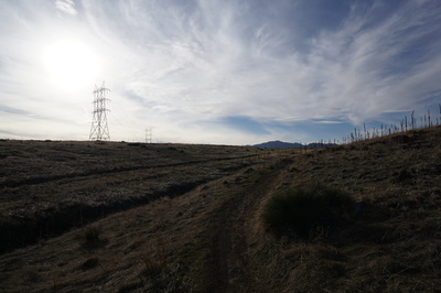
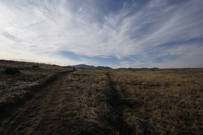
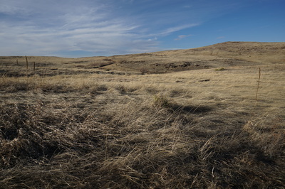
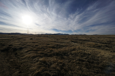
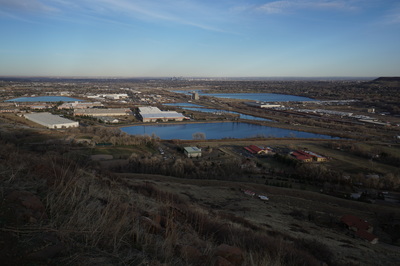
North Table Mountain is terrific hiking destination and extremely close to Denver. The east side of the mesa provides a fun and moderately steep access route to the top. This loop explores two beautiful mesa side canyons and cuts across the top of the mesa providing wonderful views in all directions.
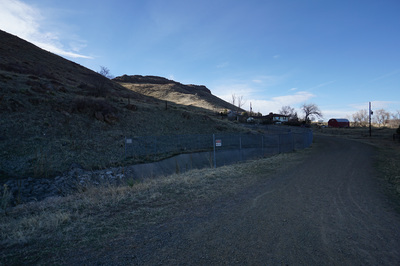
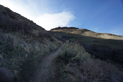
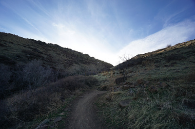
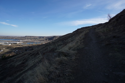
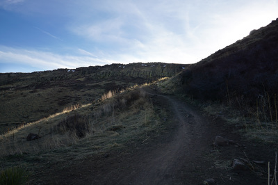
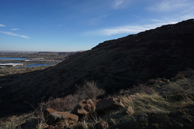
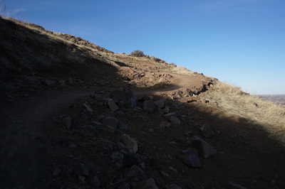
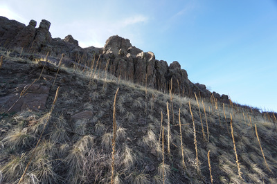
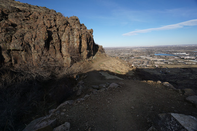
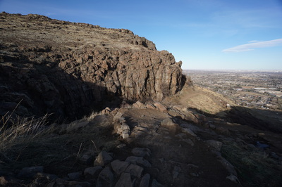
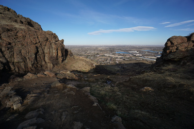
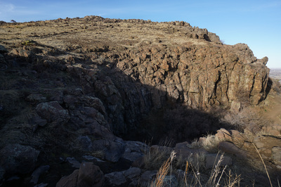
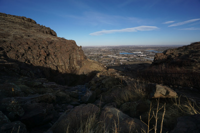
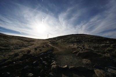
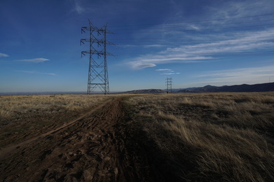
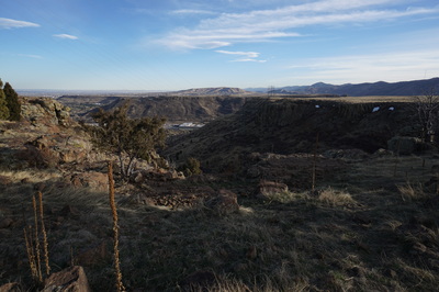
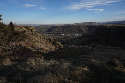
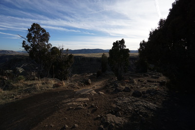
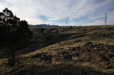
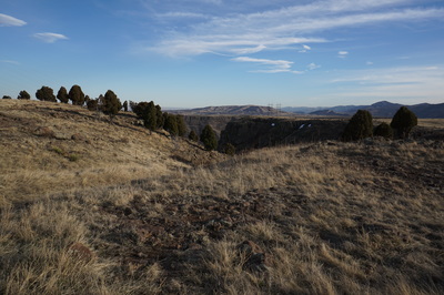
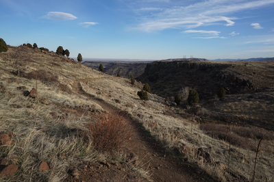
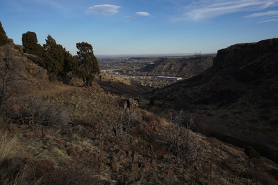
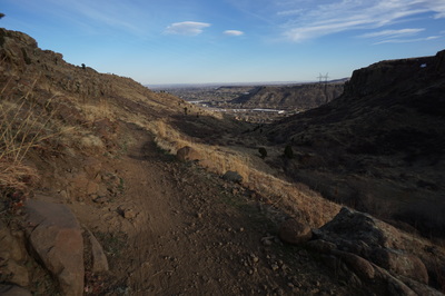
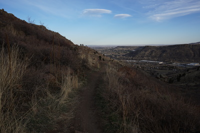
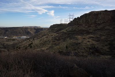
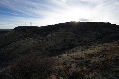
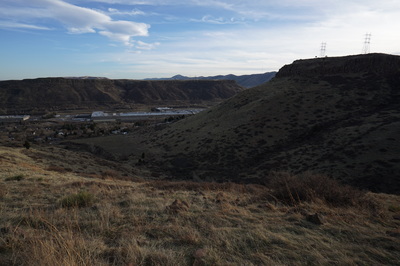
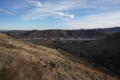
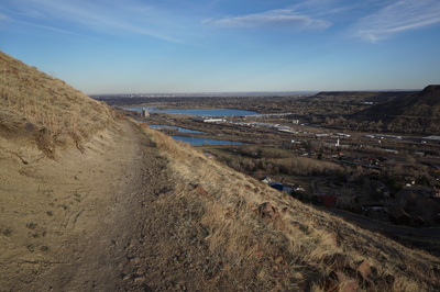
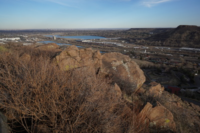
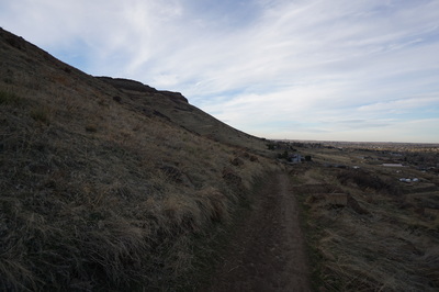
From the Fairmont Trailhead head up the trail and turn right when you reach the access road. After a few minutes you'll see the turnoff for the Lithic Trail, turn left here and switchback up the eastern face of the mesa. At the junction with the North Table Mountain Loop turn right (you'll return to this point later) and turn left at the junction for the Mesa Top Loop. The Mesa Top Loop with get a bit steeper and break through a weak point in the rocky mesa ridgeline. This portion of the trail was damaged heavily by floods back in 2013 but it is finally re-opened. Jeffco did a wonderful job and this part of the trail is one the most scenic. Keep an eye out for the waterfall in the early season or after a big rain. Once on top of the Mesa, head west as the views and wide open expanse of the mesa top opens before you. The Rim Rock Trail to the right is wonderful but subject to a seasonal closure. After just a few minutes of hiking, turn left onto the Cottonwood Canyon Trail. Cottonwood Canyon is possibly the prettiest area of the park and the views looking down canyon are tremendous. Head down the canyon with South Table Mountain, Green Mountain, and the Foothills west of Golden framed wonderfully in the canyon's mouth. When you reach the junction with the North Table Loop stay straight and curve around the south face of the mesa. After some more switchbacks you'll return to the Lithic Trail, the access road, and the trailhead beyond. While you don't spend too much time on the top of the mesa with this loop, the two canyons are incredibly scenic and fun to hike. This area is becoming more and more popular with mountain bikers, but keep aware and you'll have a great experience. |
- HOME
- ABOUT
-
HIKES BY REGION
-
NATIONAL PARK HIKES
- BENT'S OLD FORT NATIONAL HISTORIC SITE
- BLACK CANYON OF THE GUNNISON NATIONAL PARK
- COLORADO NATIONAL MONUMENT
- CURECANTI NATIONAL RECREATION AREA
- DINOSAUR NATIONAL MONUMENT
- FLORISSANT FOSSIL BEDS NATIONAL MONUMENT
- MESA VERDE NATIONAL PARK
- ROCKY MOUNTAIN NATIONAL PARK
- GREAT SAND DUNES NATIONAL PARK
- HOVENWEEP NATIONAL MONUMENT
- SAND CREEK MASSACRE NATIONAL HISTORIC SITE
- YUCCA HOUSE NATIONAL MONUMENT
- HIKES BY CATEGORY
- NEWS
- WEBCAMS
- $UPPORT GHC
- INTERACTIVE MAP
North Table > Mesa Top > Cottonwood Canyon Loop
North Table Mountain Park
Date Hiked: March 11, 2016
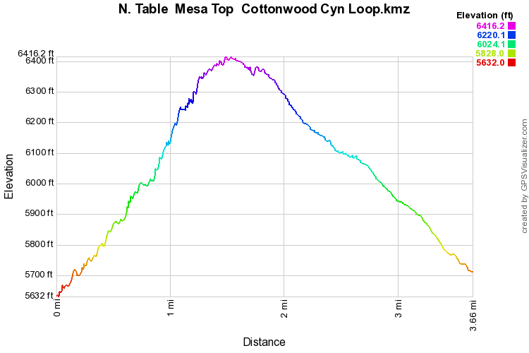
Distance: 3.6 mi (RT)
Elevation Gain: 780ft
Elevation Min/Max: 5,632 to 6,416 ft
Trailhead Lat/Long: 39º 46' 46" N;105º 11' 25" W
Managing Agency: Jefferson County Open Space
Fee: None

