|
|
|
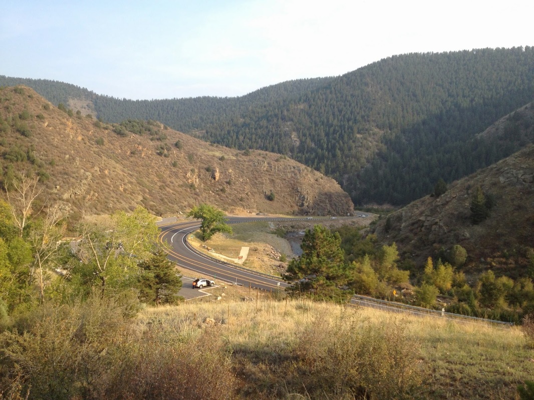
Directions: The main trailhead is located in Clear Creek Canyon Park. From Denver take I-70 to Hwy 58 west to Golden. Continue straight onto Hwy 6 through Clear Creek Canyon. Go almost to the end of the Canyon and you'll see the large parking area on the right (north).
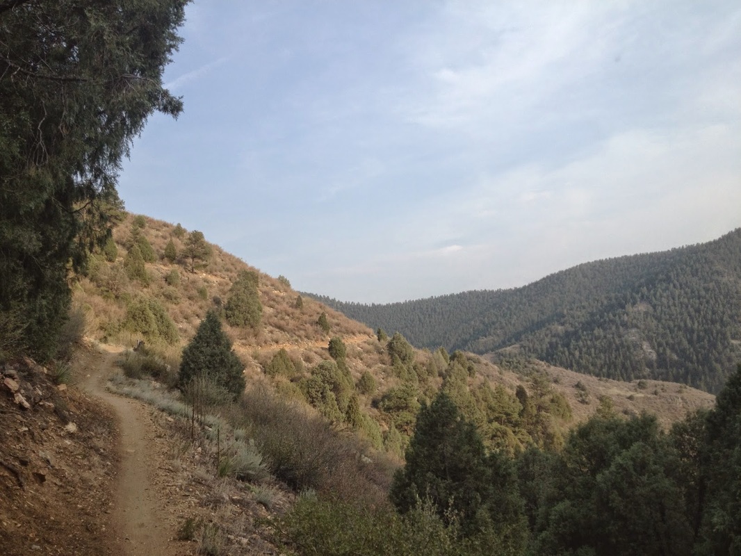
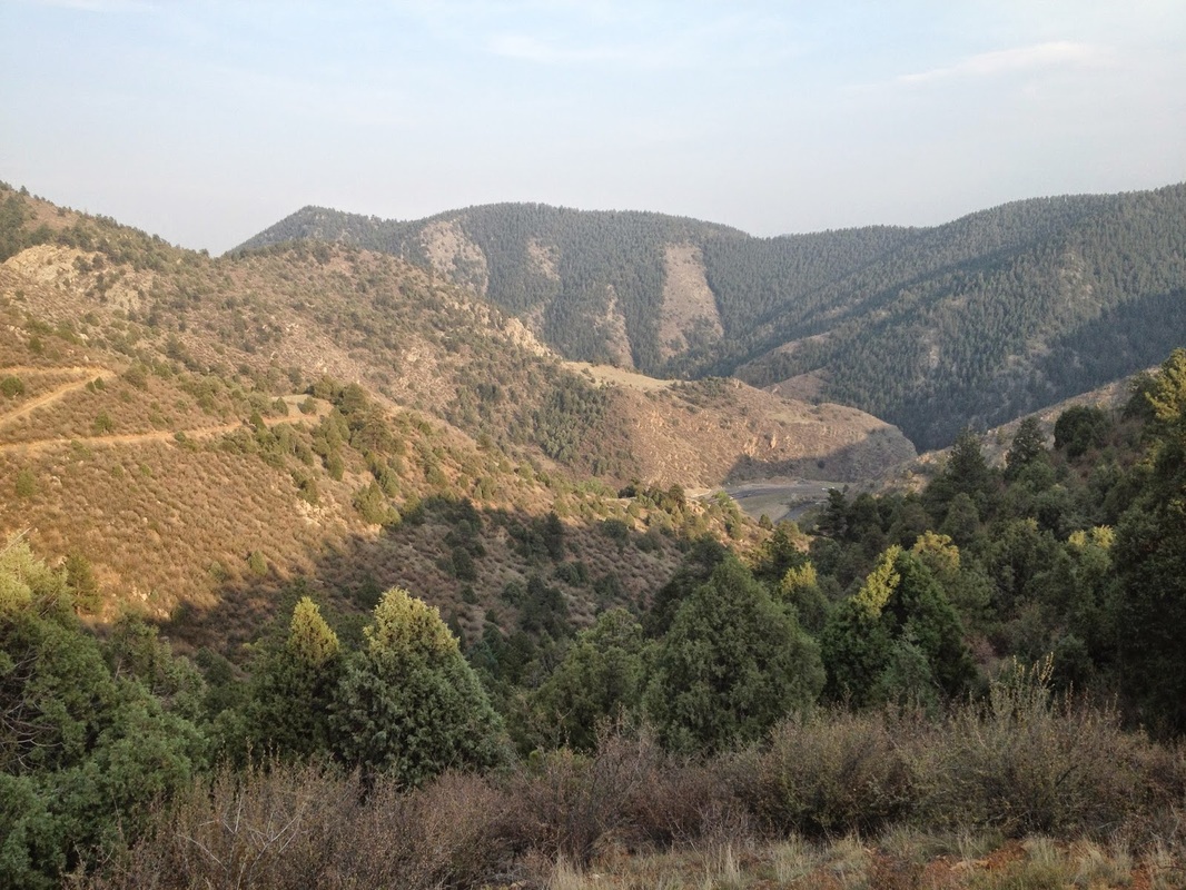
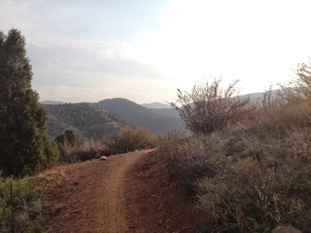
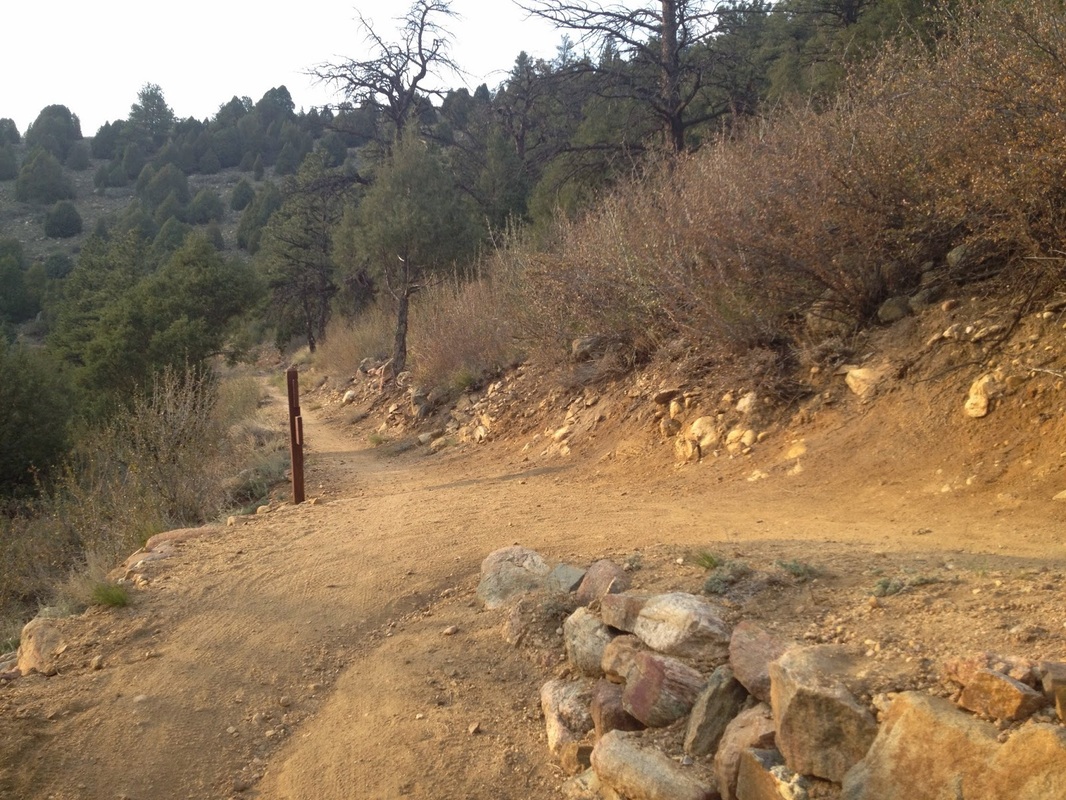
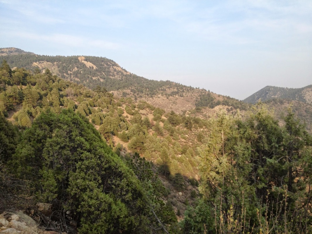
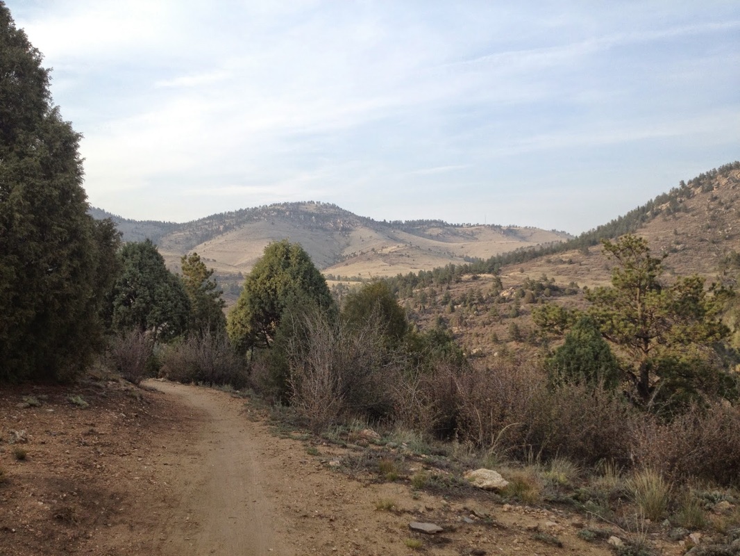
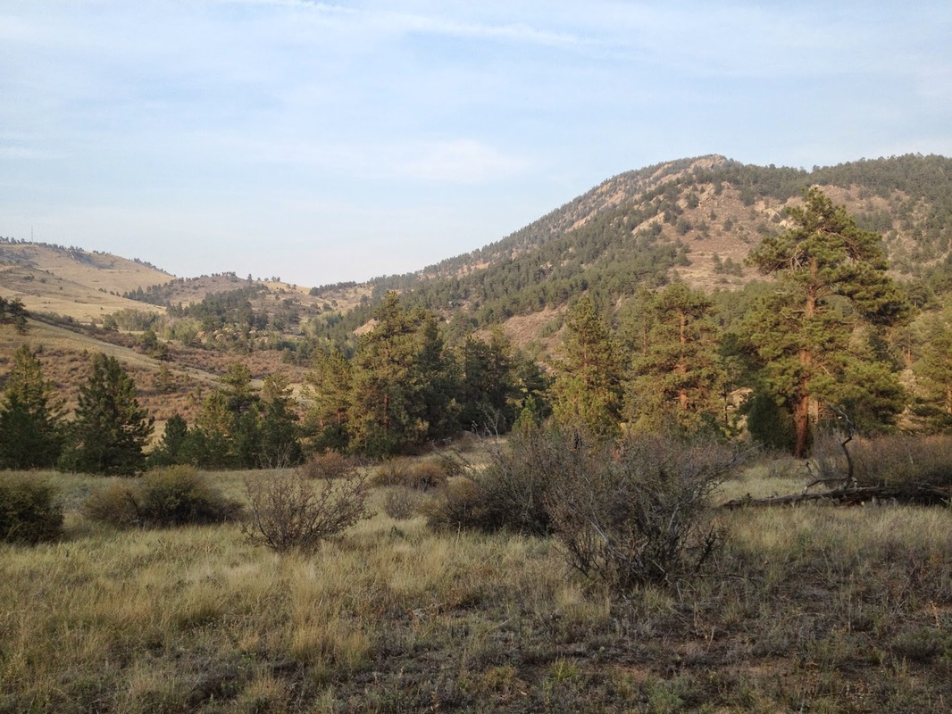
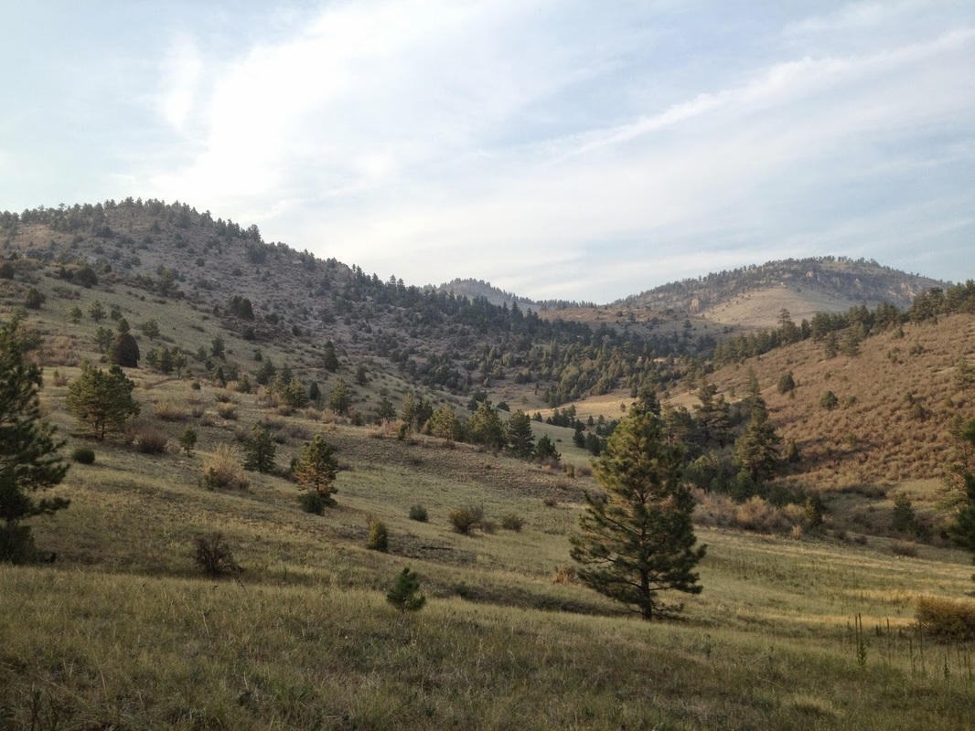
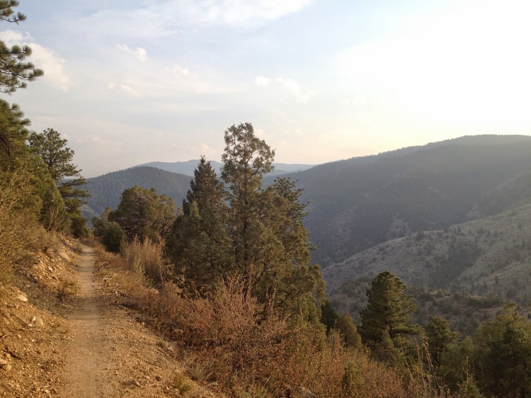
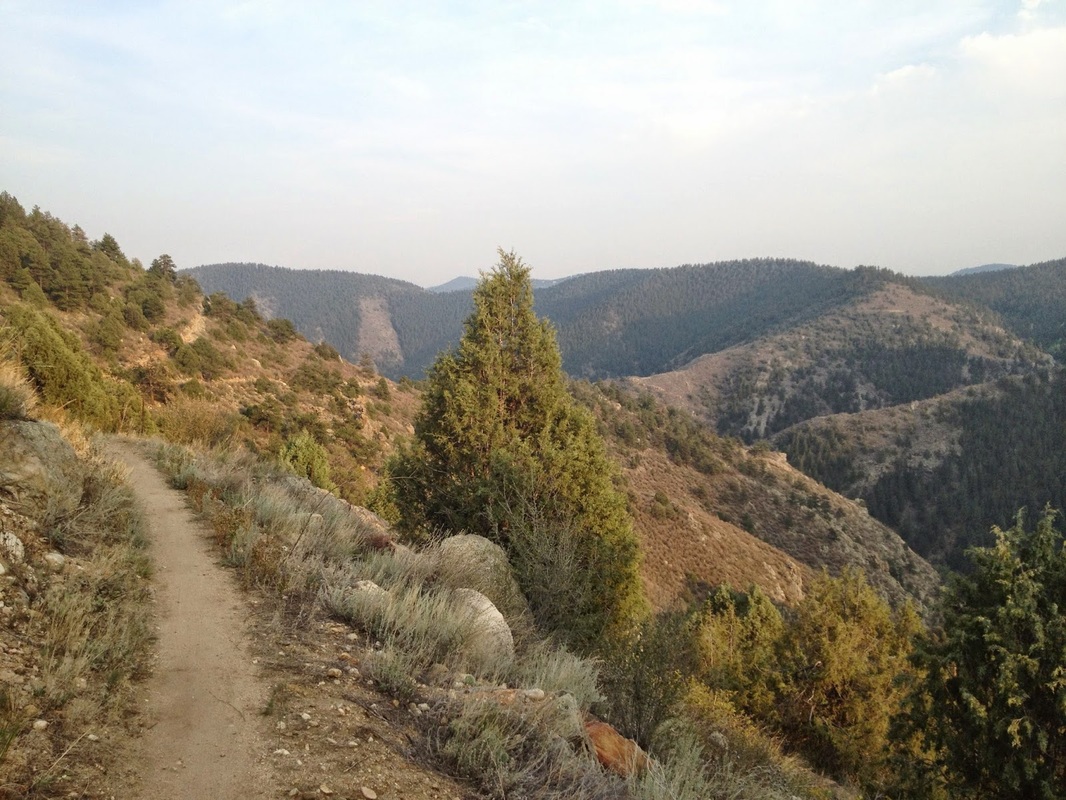
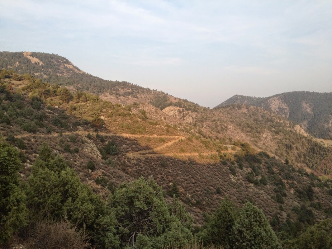
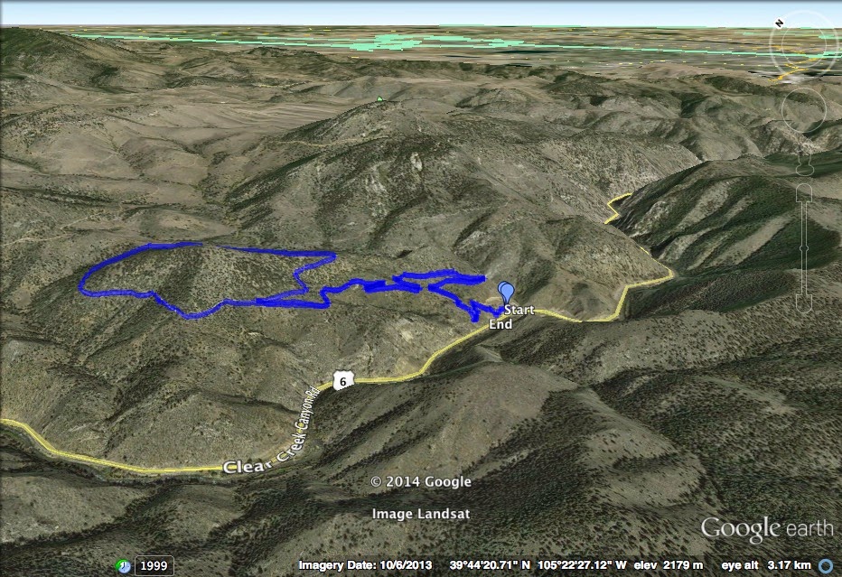
Mayhem Gulch is a very popular trail with both hikers and mountain bikers and it is a classic Front Range Foothills hike. It is the only major hike in Clear Creek Canyon Park and connects to Centennial Cone Park. The trail offers a wonderful view of Clear Creek Canyon as it climbs up and out of the canyon onto the flat(er) area that comprises Centennial Cone Park. The hike is not difficult but has enough elevation gain and distance to constitute a good workout. From the trailhead the hike ramps up through the canyon and the desert scrub and spruce trees. As you switchback keep an eye out to the east for the cascading waterfall in the spring and early summer. At the 1.5 mile mark you'll come to a trail junction with the Juniper Trail. I prefer to continue on with the Mahyem Gulch trail by turning right and taking the Juniper trail back to make a loop out of the upper portion. Shortly after this junction you will enter into Centennial Cone Park and as the landscape becomes more and more forested you'll soon get a good view of the Cone before you meet up with the Travois Trail. Continue on the Mayhem Gulch trail for another .1 mi to the Junction with the Juniper Trail. Turn left and take this trail back to the Mayhem Gulch Trail and back down into Clear Creek Canyon. If you want to hike the upper part from Centennial Cone Park, then head to the Centennial Cone Road Trailhead and take the Juniper Trail .3 miles to the upper loop. This makes for a nice quick and easy 1.9 mile loop or an add-on to a longer hike in Centennial Cone. To get to the trailhead, continue through Clear Creek Canyon, turn right onto 119 and right onto Centennial Cone Road, follow the signs to the parking area. |
|