|
|

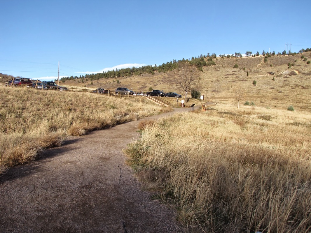
Directions: Park at the Dakota Ridge Parking Area. From Denver take I-70 west to the Park-N-Ride/Morrison Exit. Exit the highway and make a quick left onto 93 and another quick left into the parking area
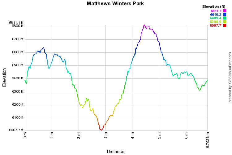
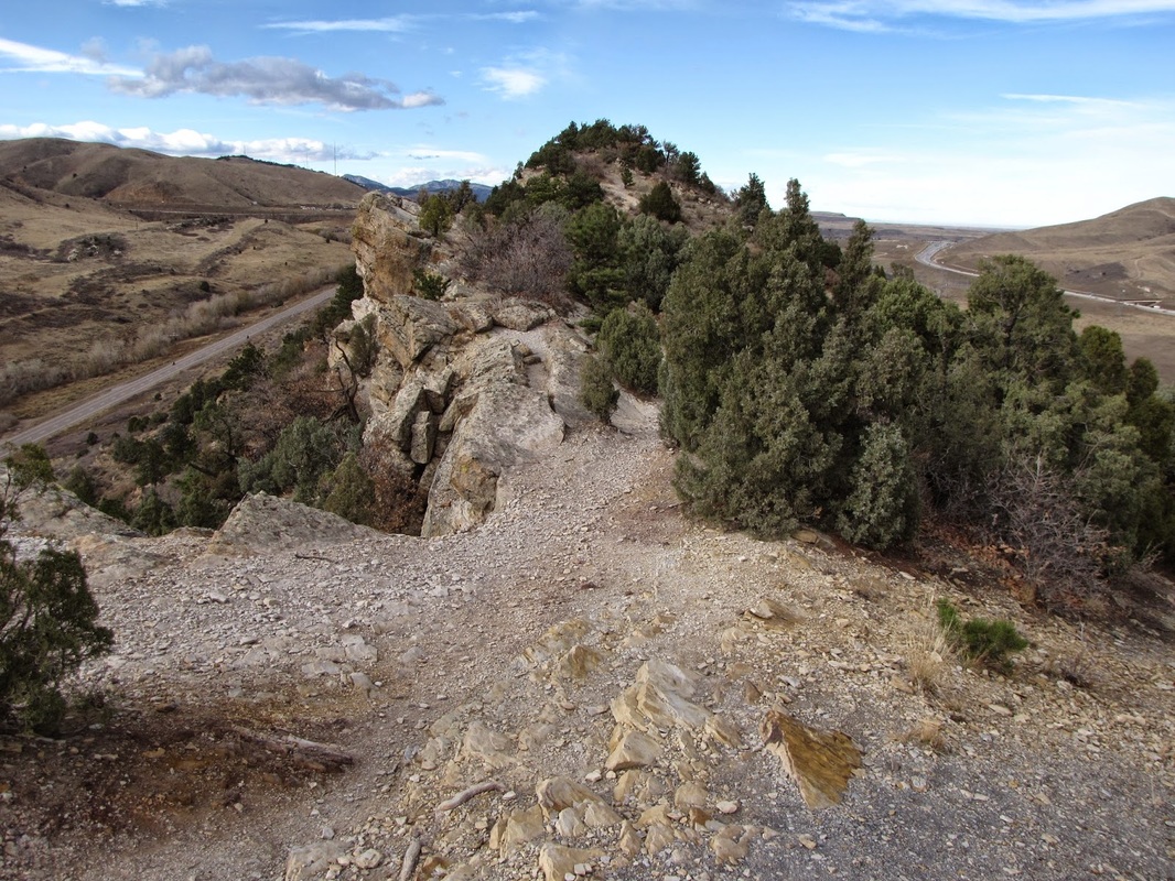
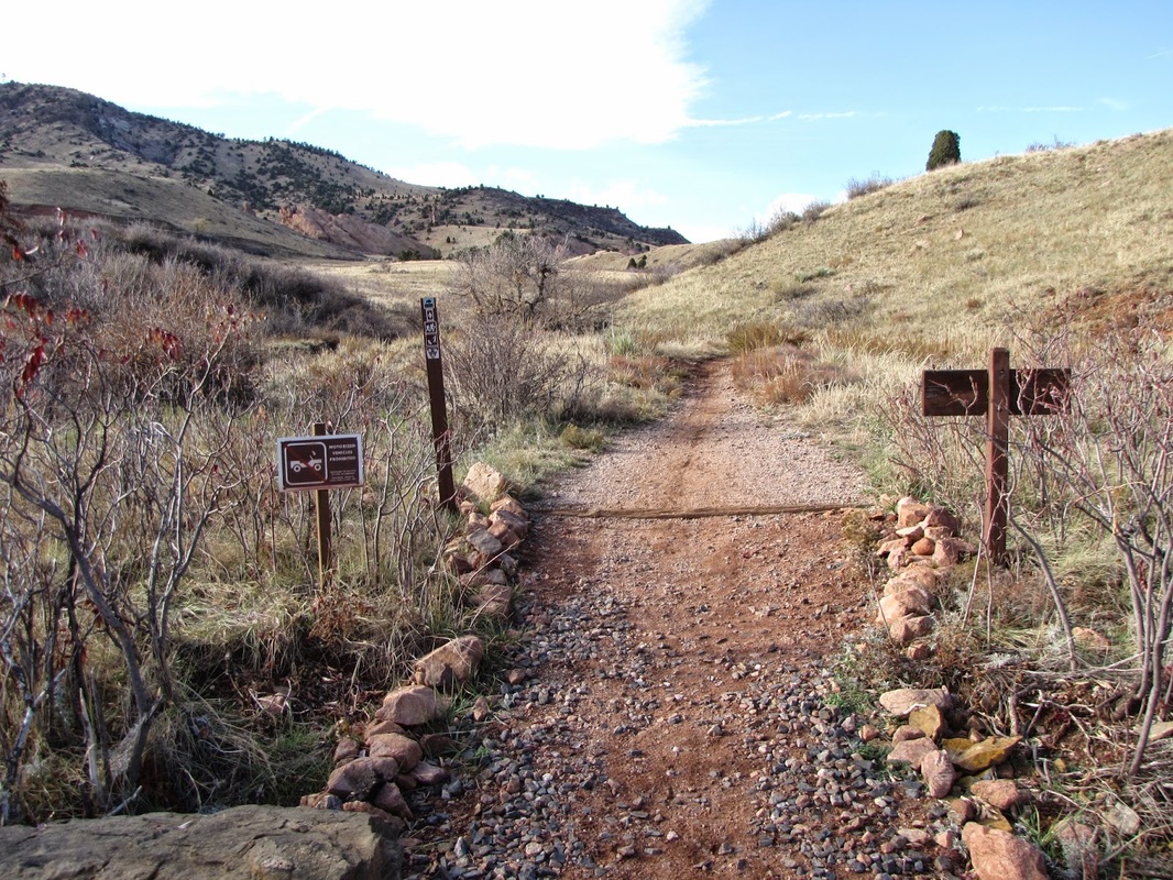
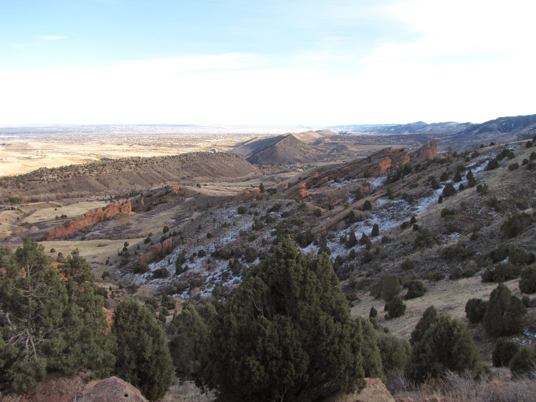
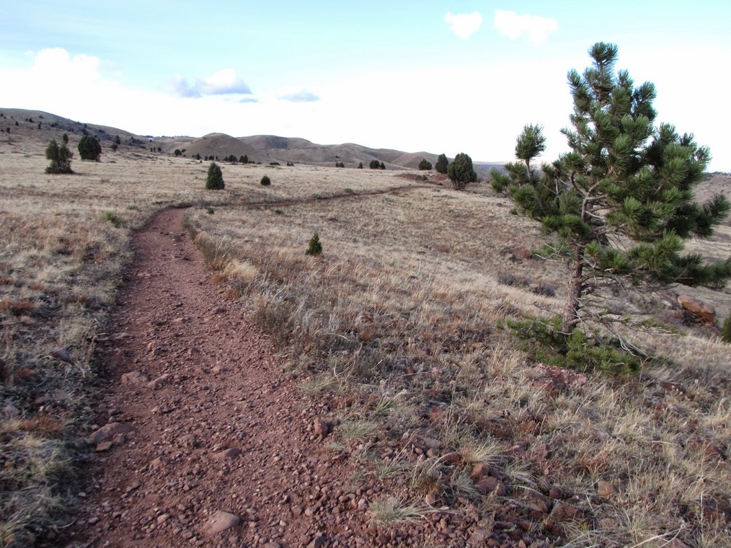
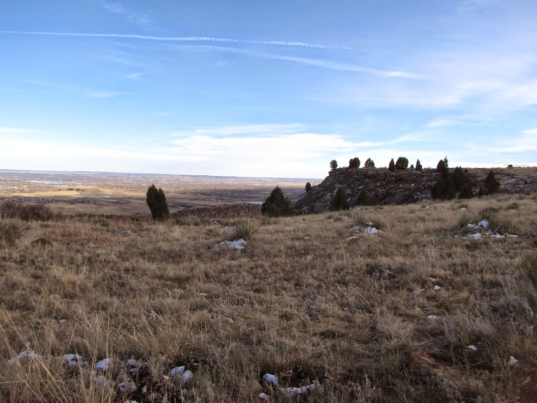
This is a terrific hike that visits every section of Matthews-Winters Park and crosses over into Red Rocks Park (Denver Mountain Parks). Start at the Dakota Ridge parking area and climb up the Dakota Ridge Trail. Hike the entirety of Dakota Ridge enjoying the panoramic views and the rocky terrain. The entire hike along the ridge is about 2.2 miles.
This is a terrific hike that visits every section of Matthews-Winters Park and crosses over into Red Rocks Park (Denver Mountain Parks). Start at the Dakota Ridge parking area and climb up the Dakota Ridge Trail. Hike the entirety of Dakota Ridge enjoying the panoramic views and the rocky terrain. The entire hike along the ridge is about 2.2 miles.


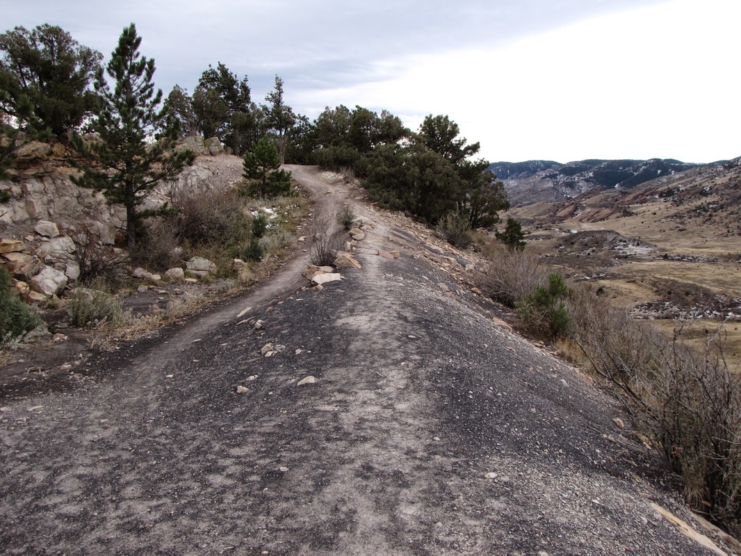
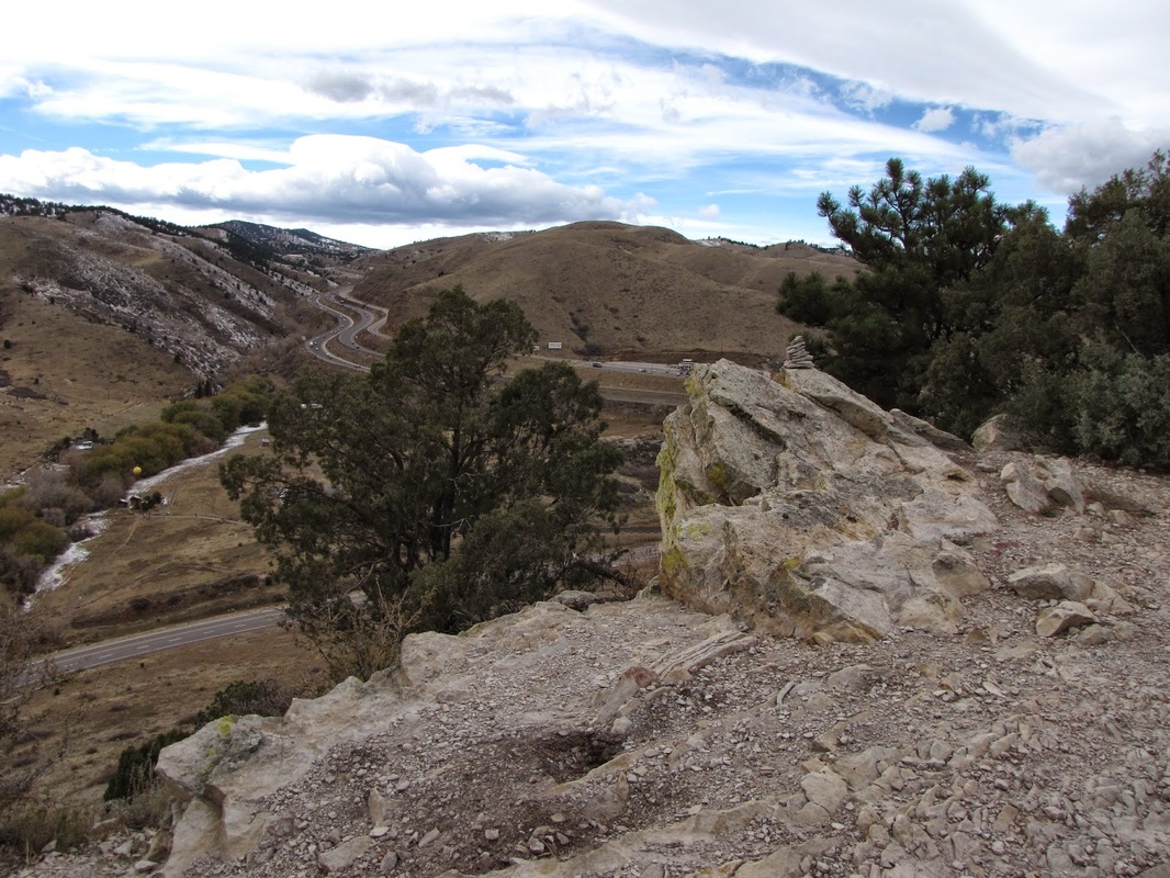

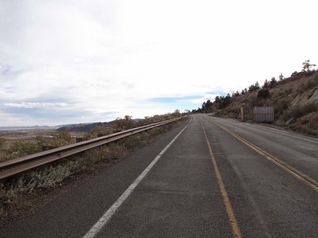
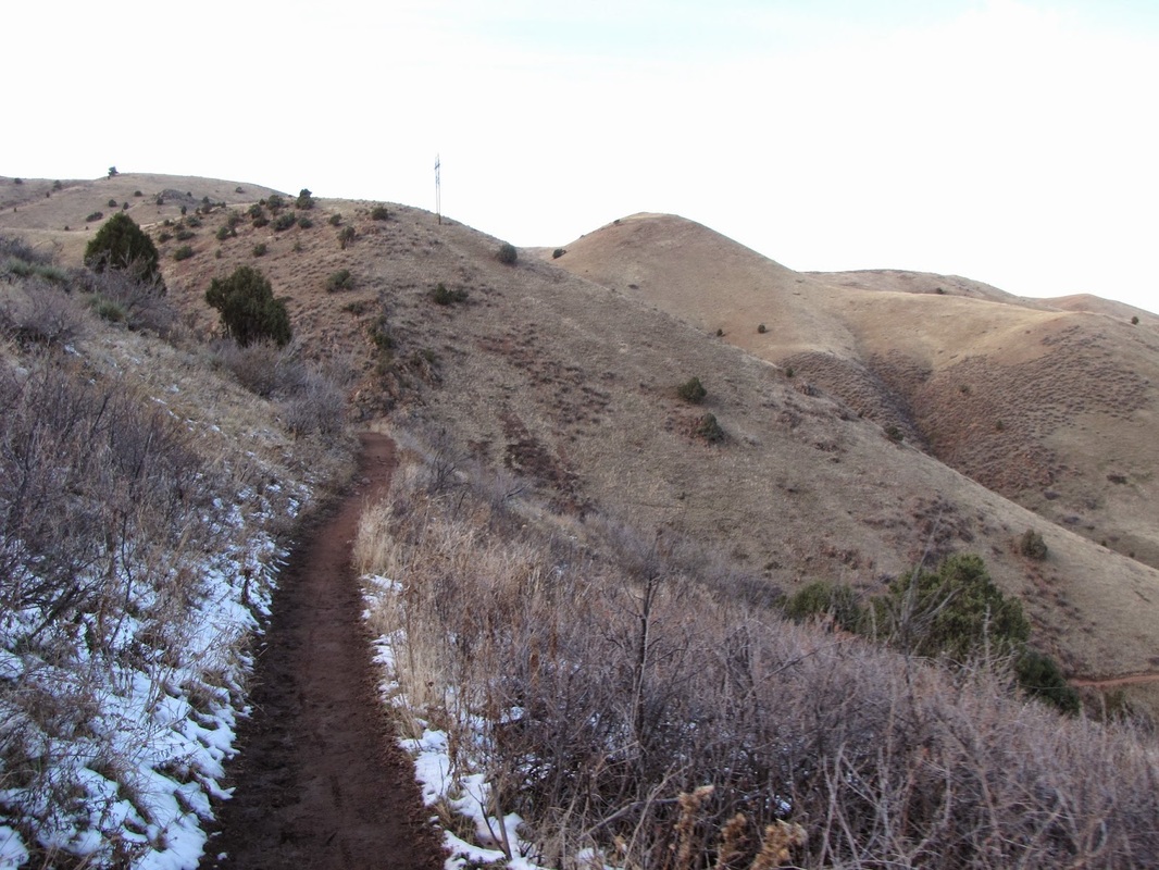
When you descend the ridge you’ll find yourself on the east side of the ridge at the paved Dinosaur Ridge road. Turn right here and look for the trail sign on the far side of the hairpin turn in the road. Pick up the trail and descend the west side of the Hogback for .5 miles to 93.
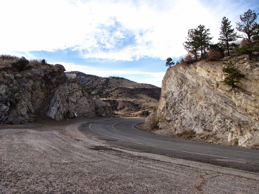

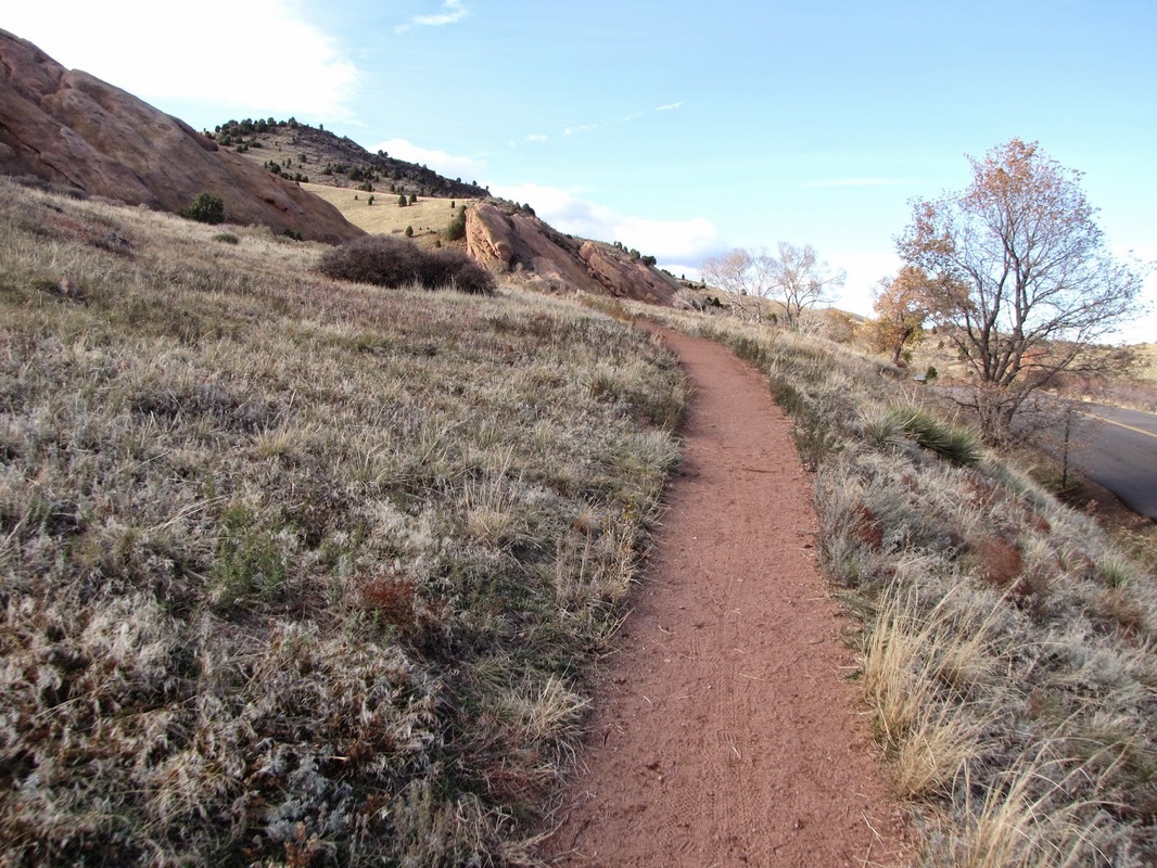
Cross the road, carefully, and enter Red Rocks Park along the side of Red Rocks Park Road. Look to the right for the sign for the Red Rocks Trail. Follow this trail up and cross the gravel Red Rocks Trail Road. The trail picks up again on the other side of the road and parallels the road until it again crosses Red Rocks Park Road at a small parking area.


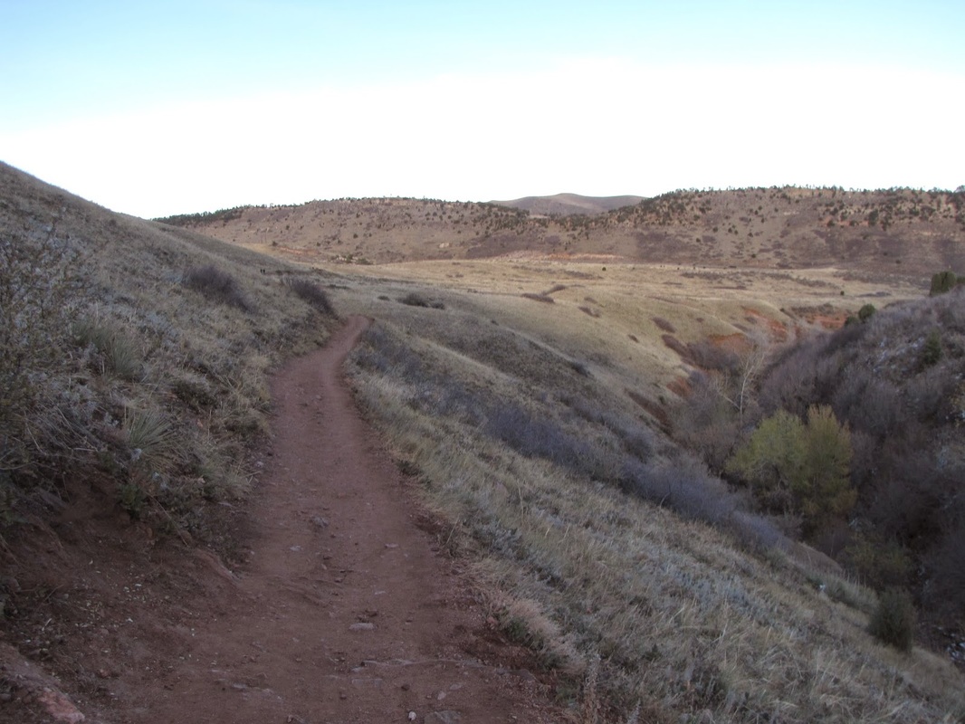
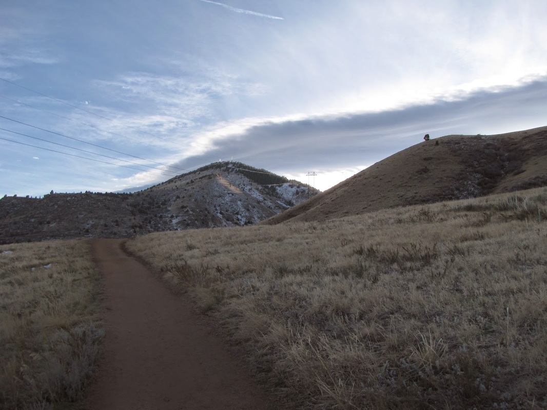
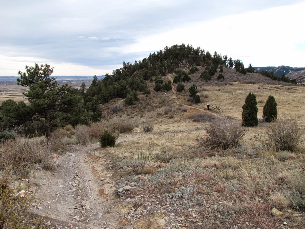
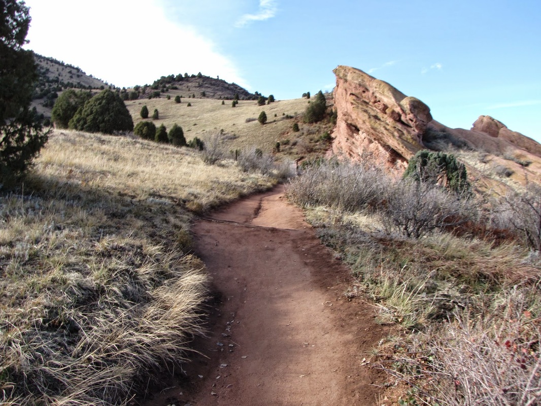
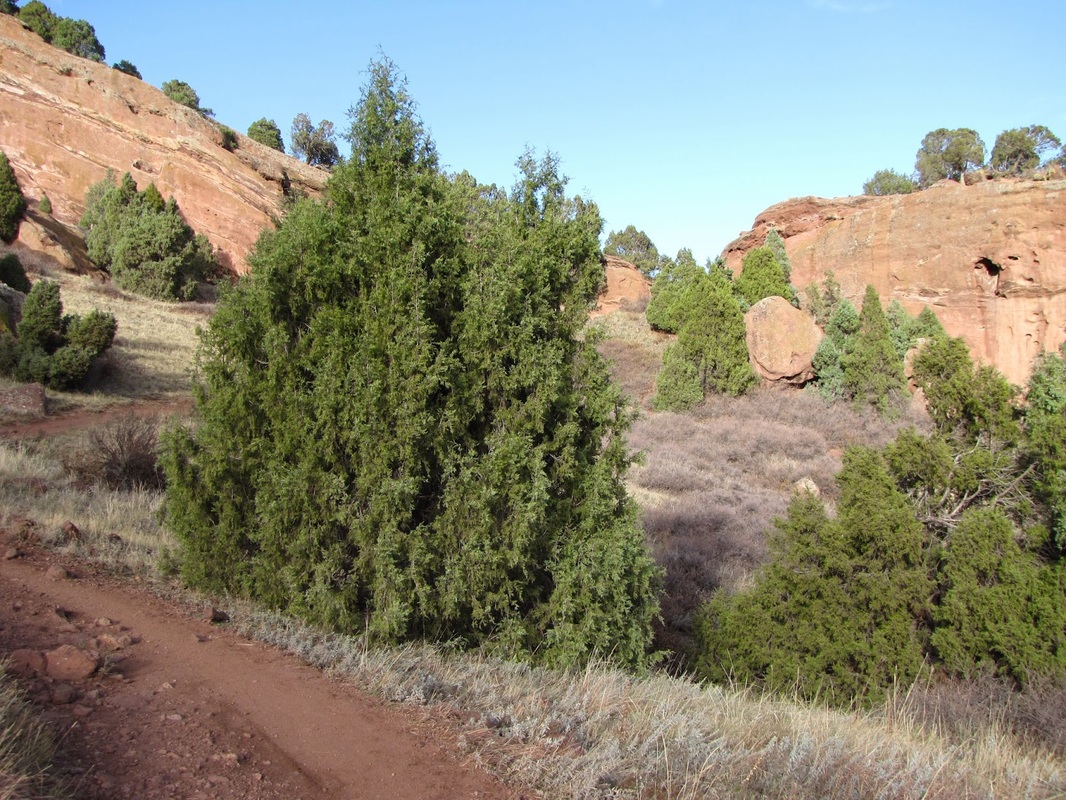
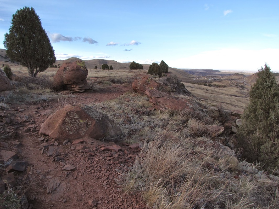
Cross the road and pick up the Red Rocks Trail. After just a few minutes of hiking the trail re-enters Matthews-Winters Park and starts a steep ascent through a Red Rock wonderland. After 1.2 miles the trail meets up with the Morrison Slide Trail, turn left and continue climbing on the Morrison Slide Trail.
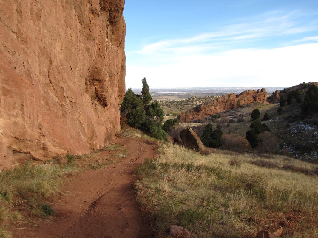
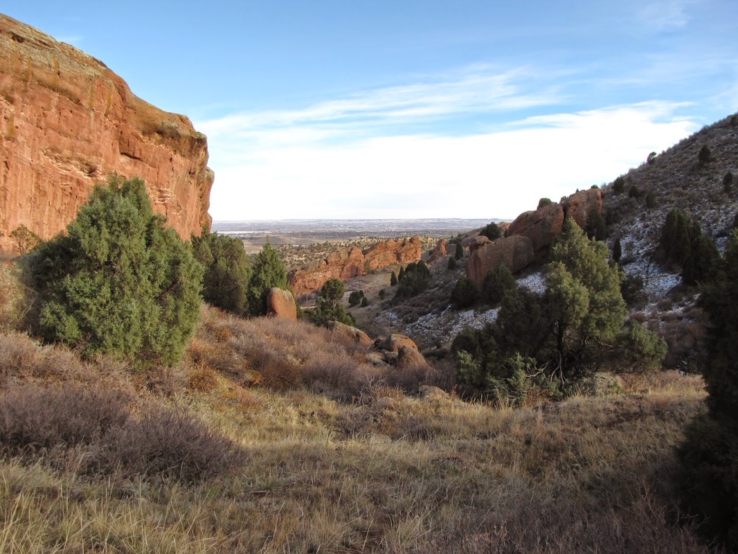
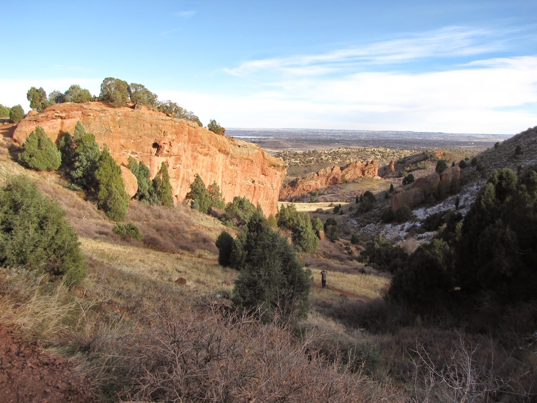
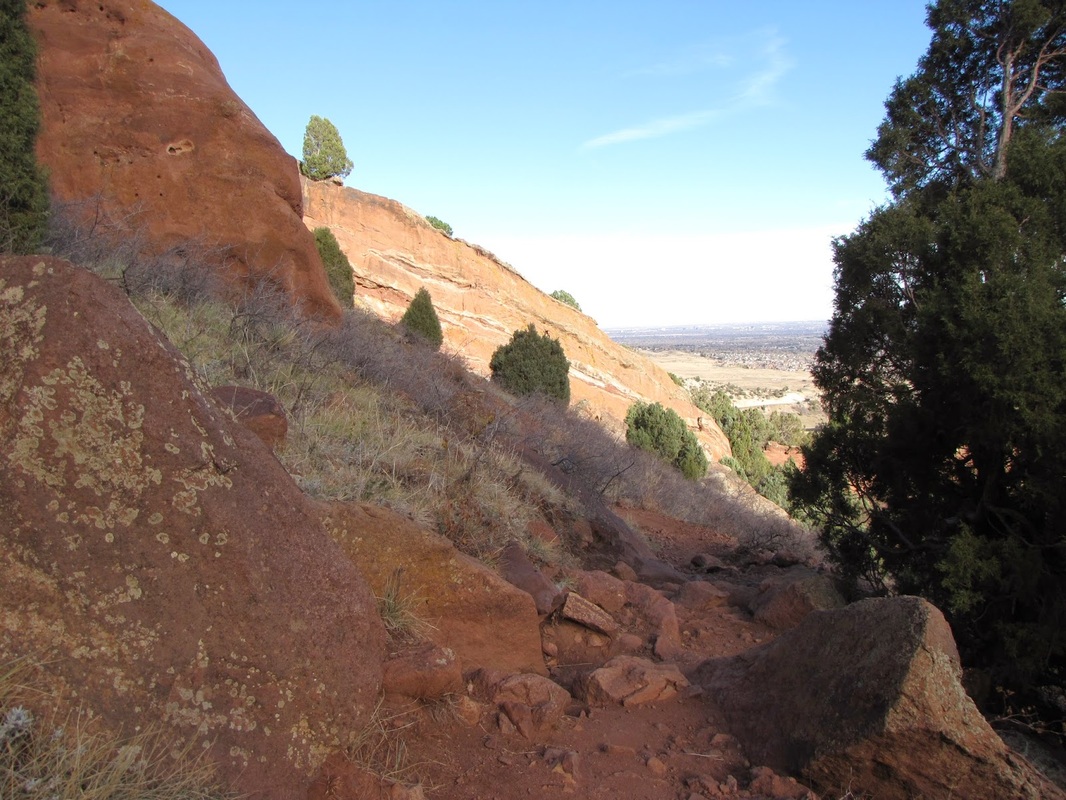
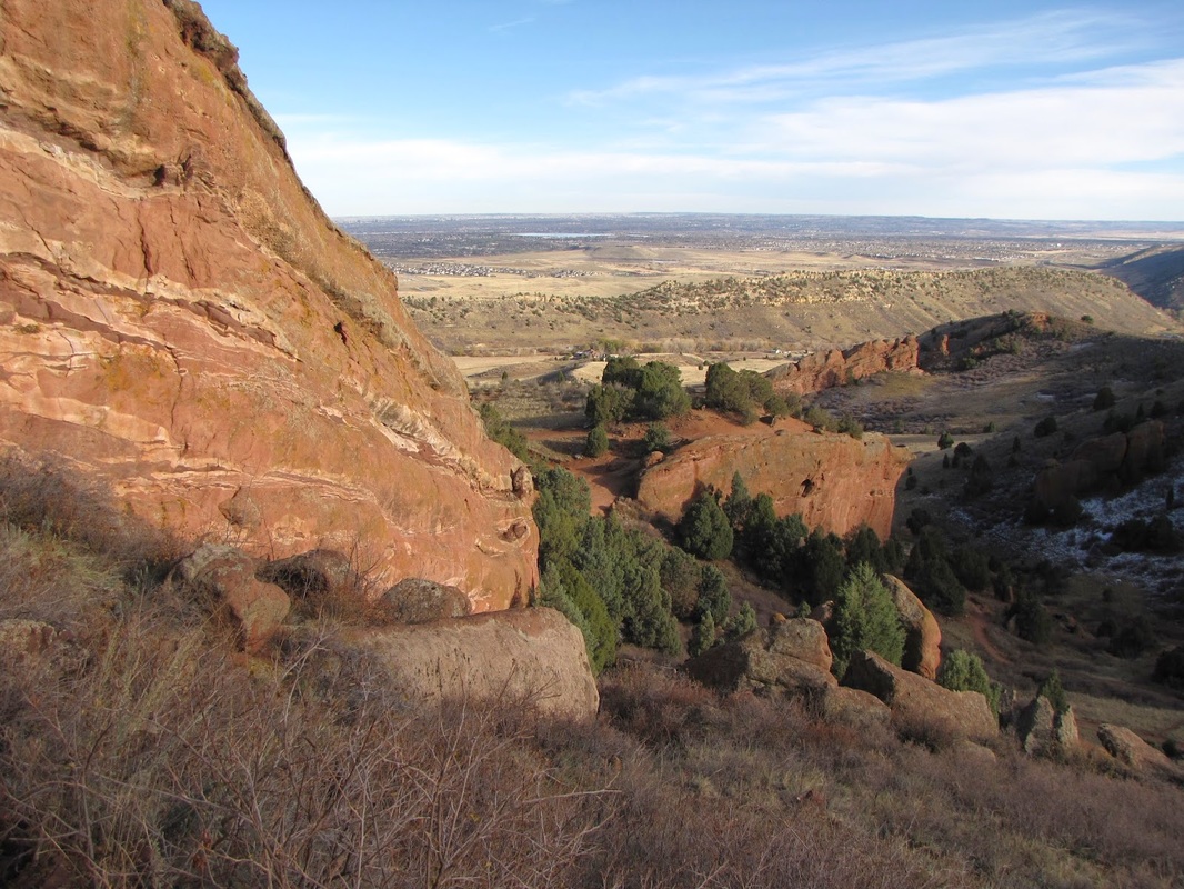
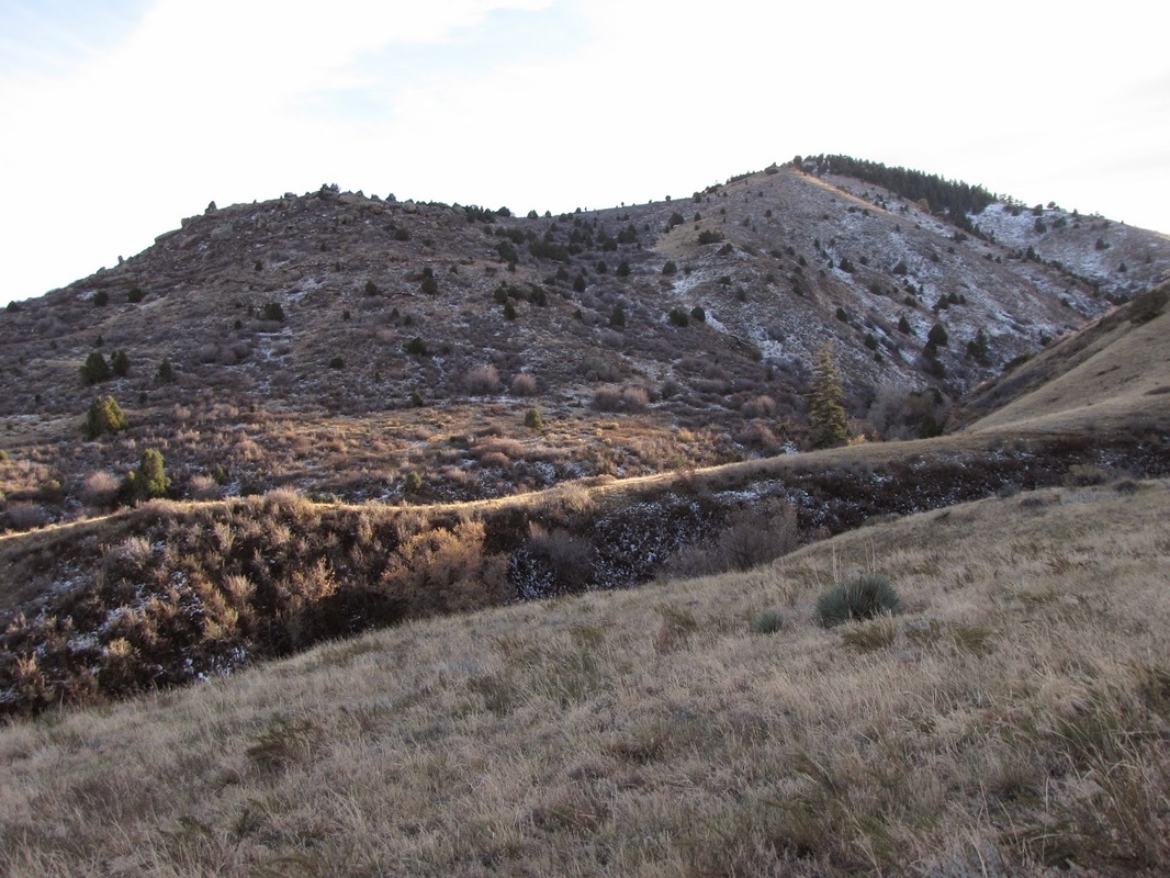
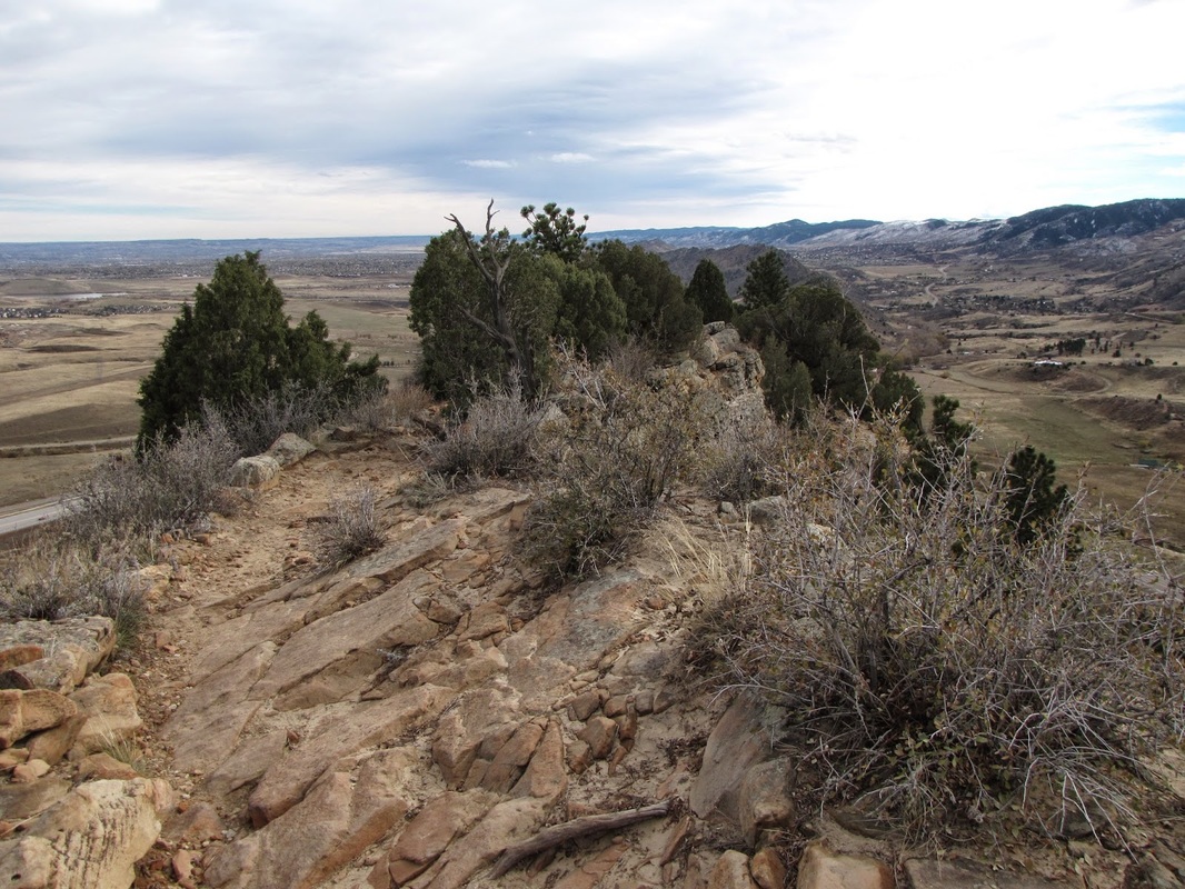
When you finally reach the top of the shelf, take a few minutes to catch your breath at any of the many incredible viewpoints. When you can breath again, continue along the shelf hugging the cliff side until you reach the other end and start to descend.
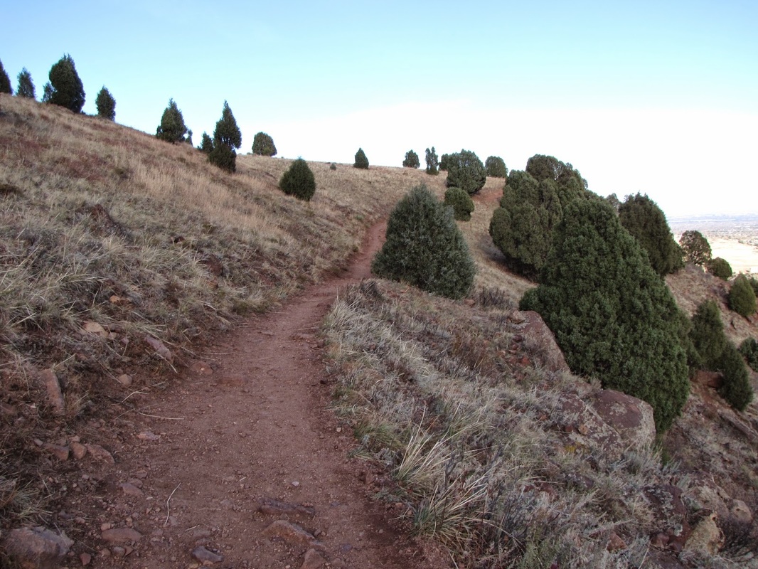

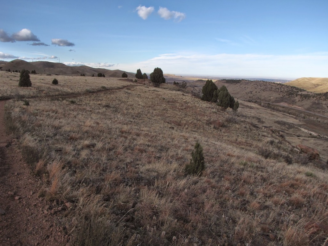

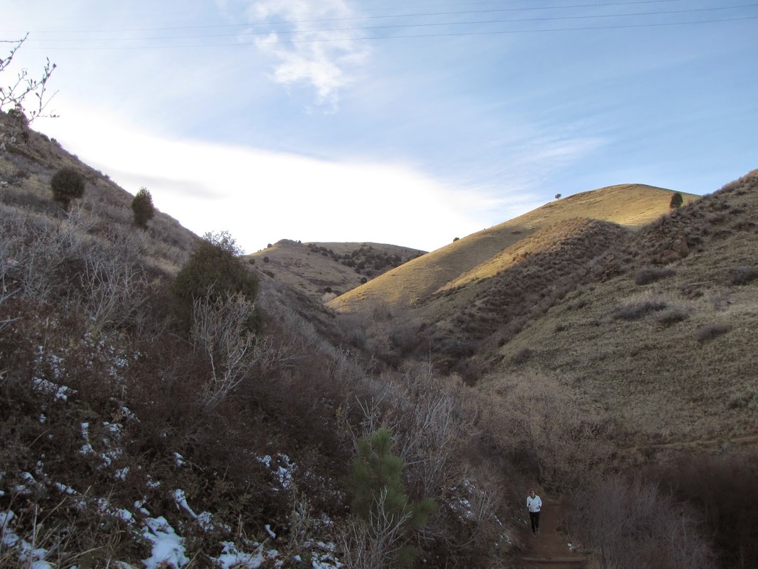
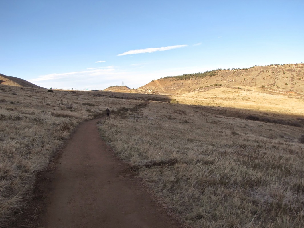
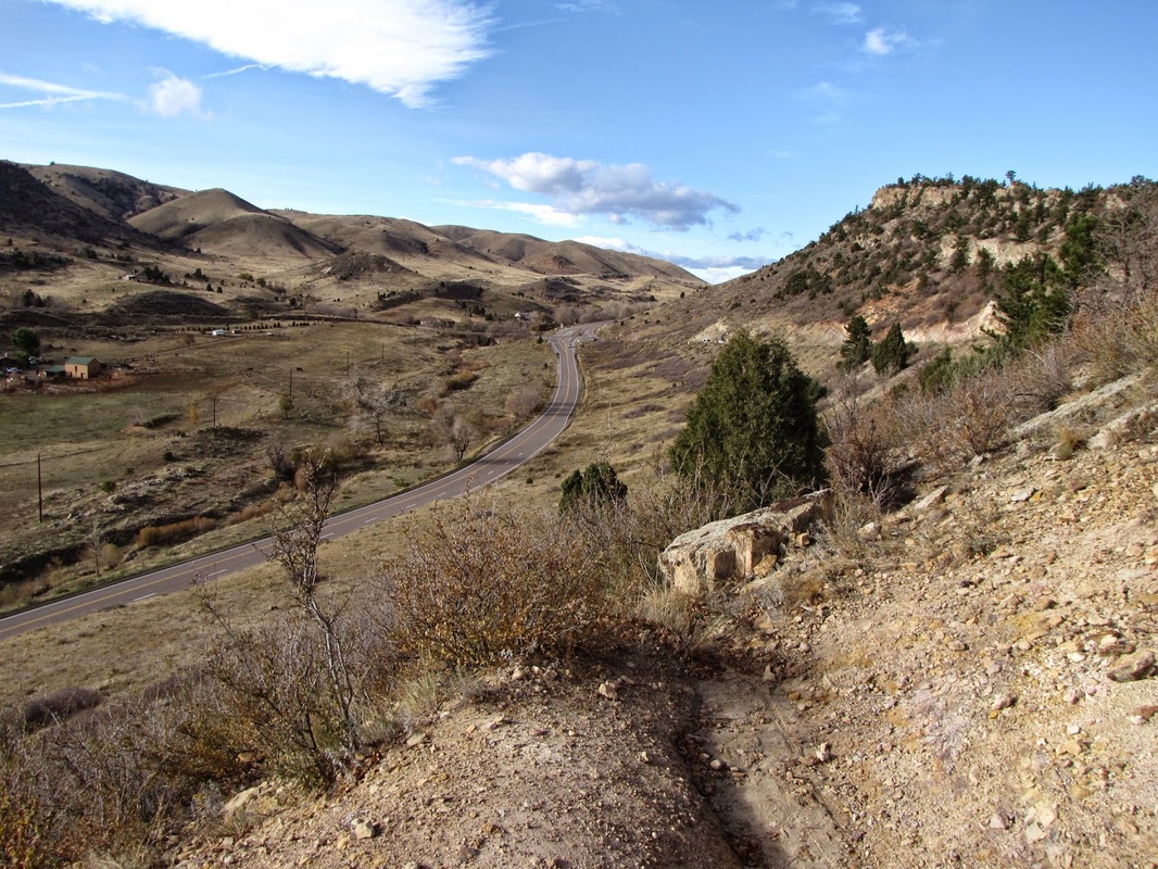
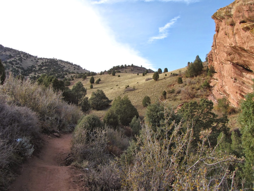
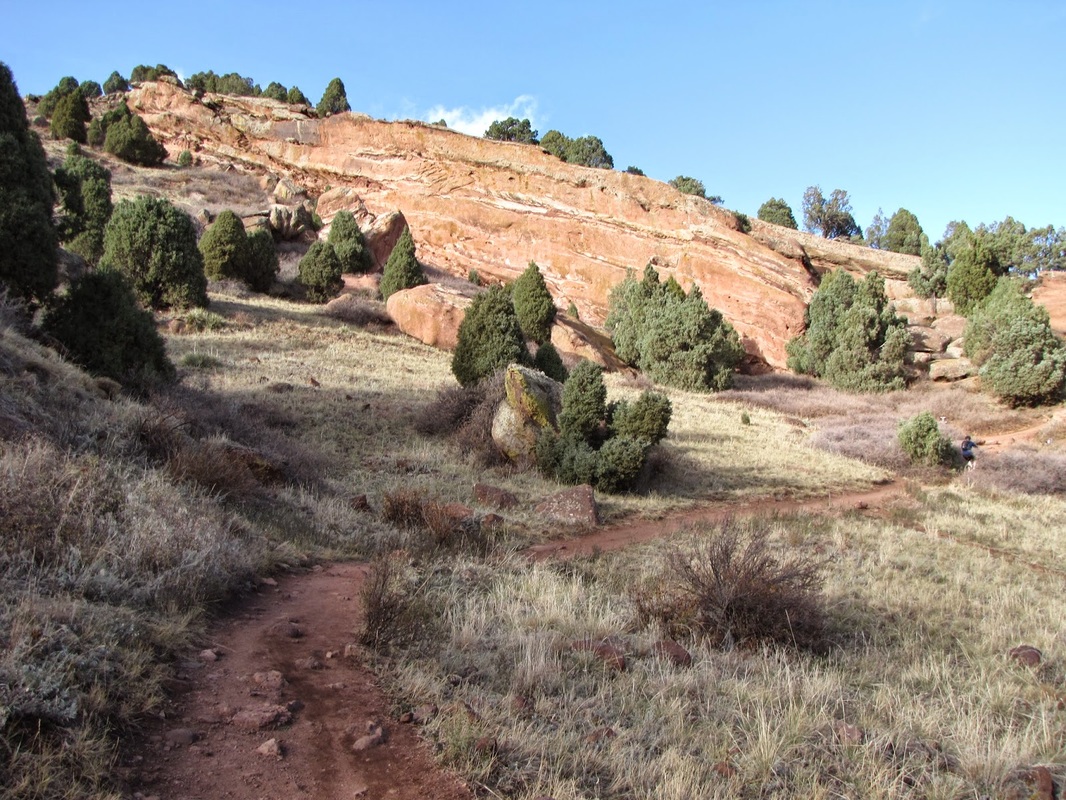
When you meet the Red Rocks Trail again turn left and follow the Red Rocks trail as it heads north. Descend the side of the Morrison Mountain and cross a small creek. From here the trail undulates with the hills until you reach the Matthews-Winters Parking area. Cross 93 again and return to the Dakota Ridge parking area.