GO HIKE COLORADO
Get in Touch:
  • HOME
  • ABOUT
  • HIKES BY REGION
    • DENVER AREA >
      • Denver Mountain Parks
      • Jefferson County Open Space
      • Lakewood Parks
      • Denver Area Greenways
    • BOULDER AREA
    • DOUGLAS COUNTY
    • FORT COLLINS AREA
    • COLORADO SPRINGS AREA
    • FRONT RANGE
    • TENMILE & MOSQUITO RANGES
    • GORE RANGE
    • SANGRE DE CRISTO MOUNTAINS
    • PARK RANGE
    • SAWATCH RANGE
    • ELK MOUNTAINS
    • SAN JUAN MOUNTAINS
    • THE FLAT TOPS
    • GRAND MESA
    • COLORADO PLATEAU
    • EASTERN PLAINS
  • NATIONAL PARK HIKES
    • BENT'S OLD FORT NATIONAL HISTORIC SITE
    • BLACK CANYON OF THE GUNNISON NATIONAL PARK
    • COLORADO NATIONAL MONUMENT
    • CURECANTI NATIONAL RECREATION AREA
    • DINOSAUR NATIONAL MONUMENT
    • FLORISSANT FOSSIL BEDS NATIONAL MONUMENT
    • MESA VERDE NATIONAL PARK
    • ROCKY MOUNTAIN NATIONAL PARK
    • GREAT SAND DUNES NATIONAL PARK
    • HOVENWEEP NATIONAL MONUMENT
    • SAND CREEK MASSACRE NATIONAL HISTORIC SITE
    • YUCCA HOUSE NATIONAL MONUMENT
  • HIKES BY CATEGORY
    • HIKES TO ALPINE LAKES
    • HIKES TO PEAKS & PASSES
    • HIKES THROUGH CANYONS
    • HIKES WITH FALL COLORS
    • HIKES ALONG THE I-70 CORRIDOR
    • HIKES ON PAVED TRAILS
    • HIKES FOR KIDS
    • HIKES TO WATERFALLS
    • HIKES ALONG RIVERS
    • HIKES WITH ROCK FORMATIONS
    • HIKES WITH WILDFLOWERS
    • WINTER HIKES
  • NEWS
  • WEBCAMS
  • $UPPORT GHC
  • INTERACTIVE MAP

Castle > Turkey Trot Loop
Mount Falcon Park

Date Hiked: April 14, 2015

​Distance: 3.1 mi (RT)
Elevation Gain: 850ft
Elevation Min/Max: 6,004 to 6,811ft
Managing Agency: Jefferson County Open Space
Fee: None

Mount Falcon Park Website
Picture

Directions:  From Denver, take I-70 west to C-470 east. Exit at Morrison Road and head west through the Town of Morrison. Turn left at the light onto Route 8.  Look for the park sign and turn right on Forest Ave, then left on Vine Street to the parking area and Trailhead.

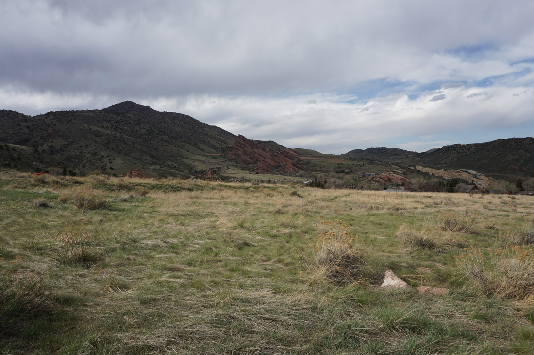
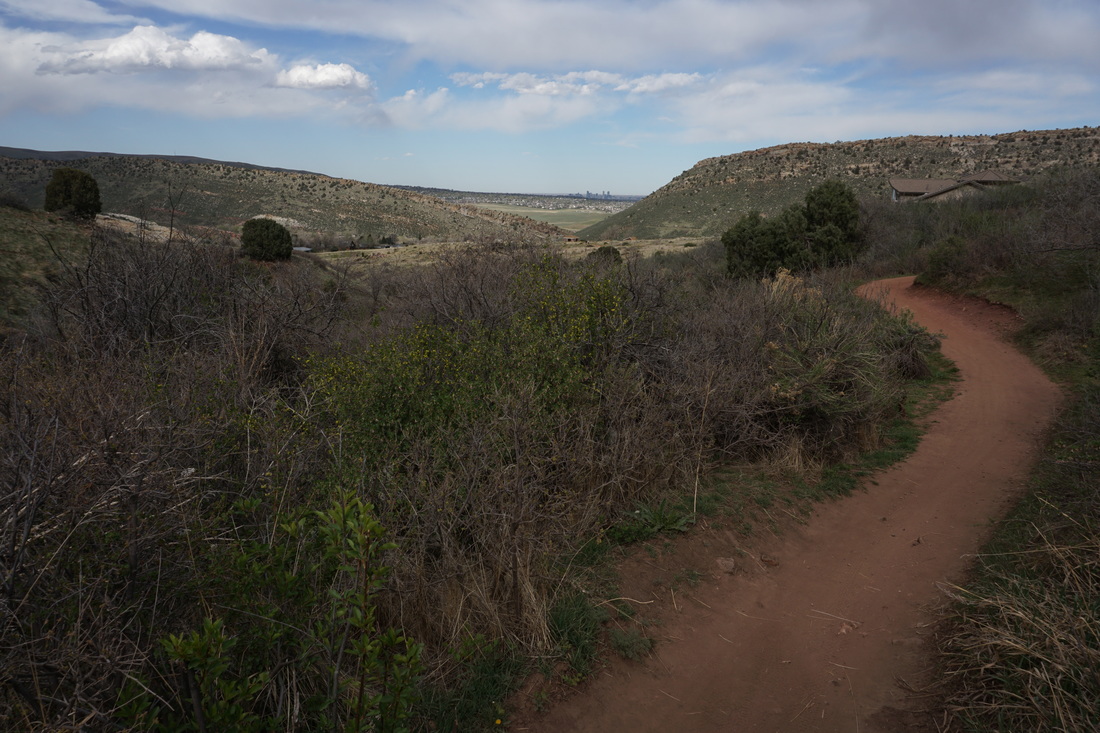
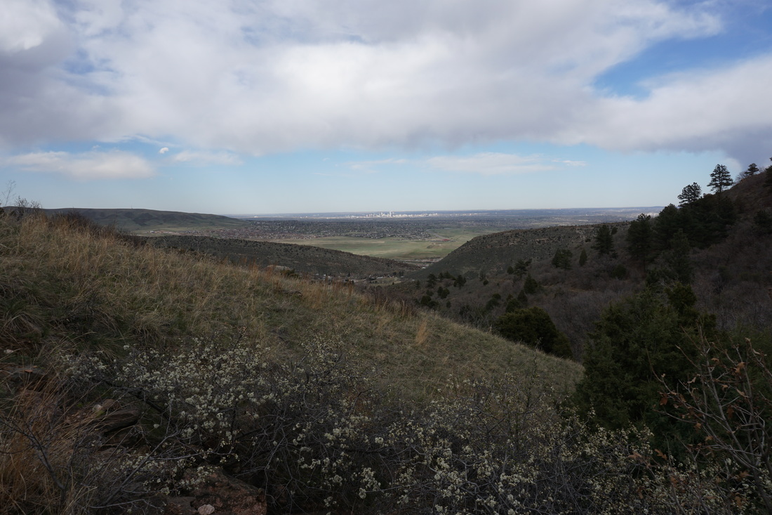
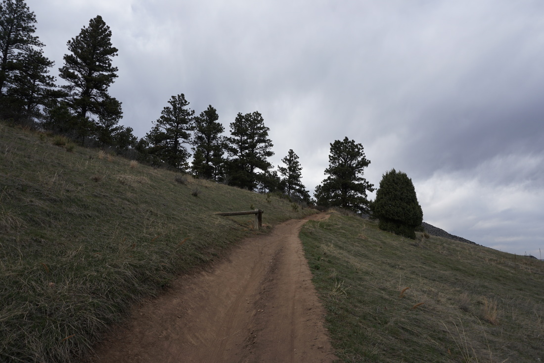
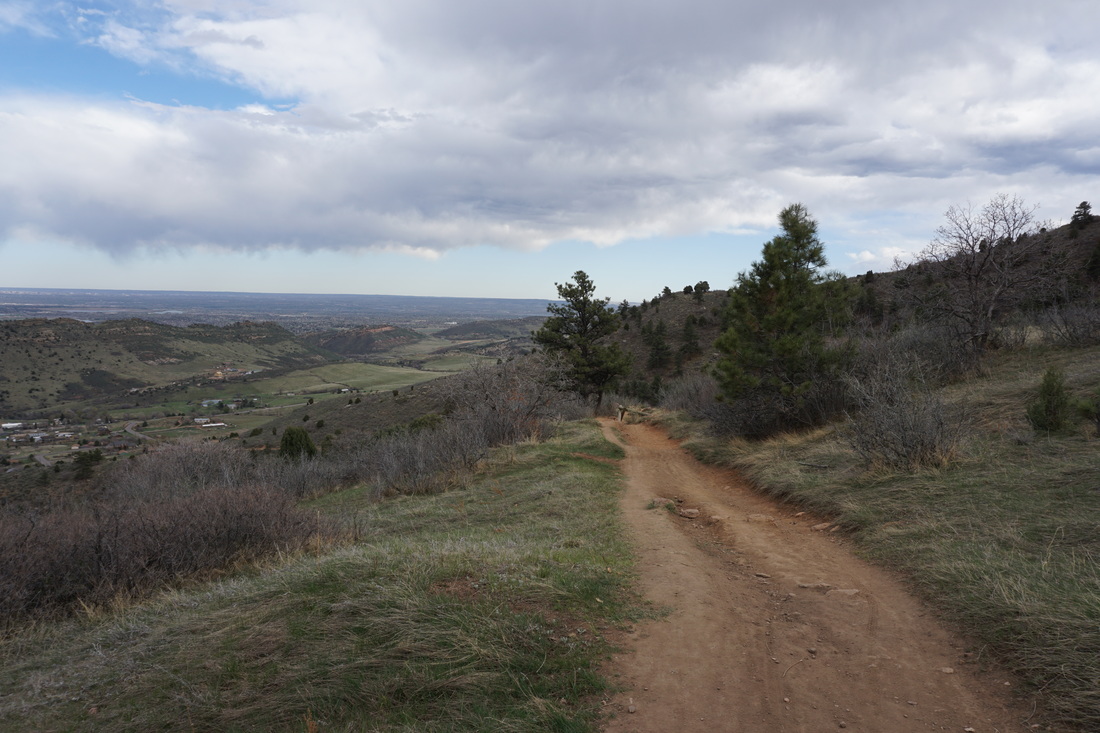
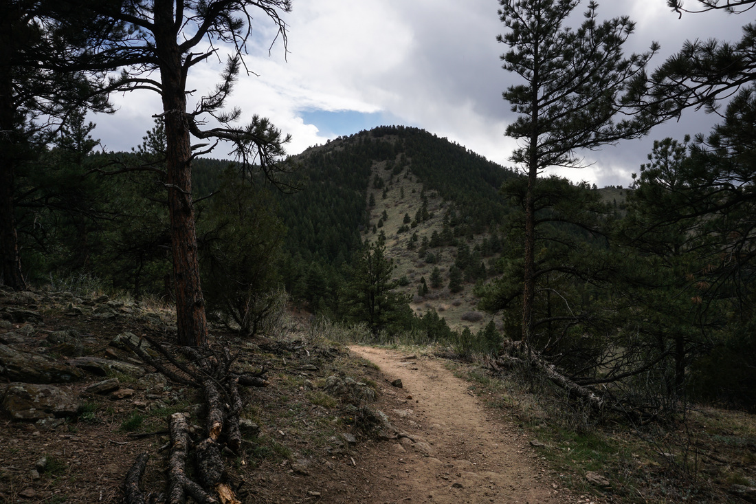
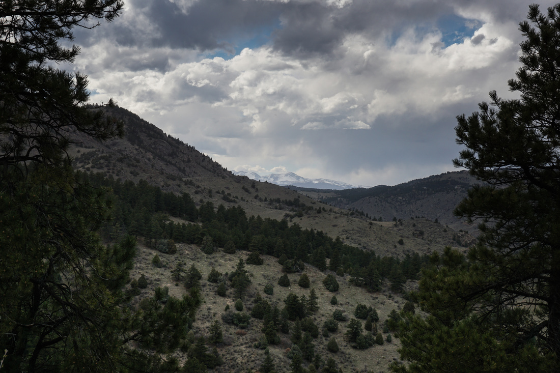
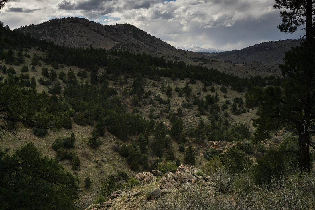
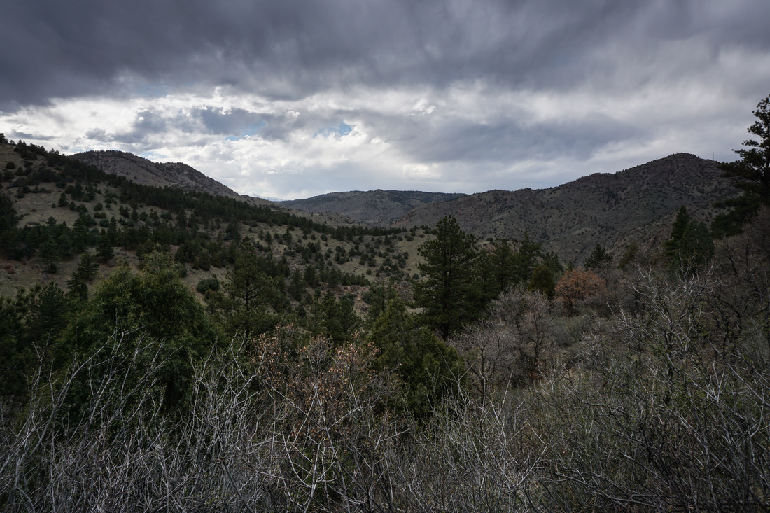
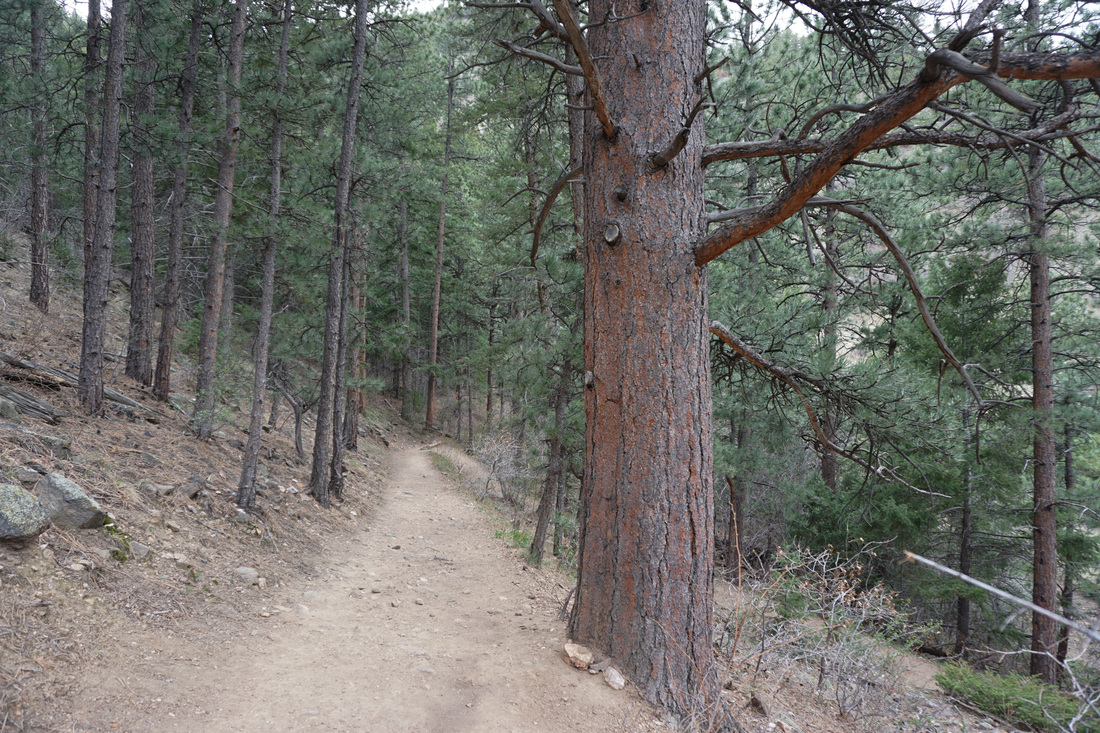
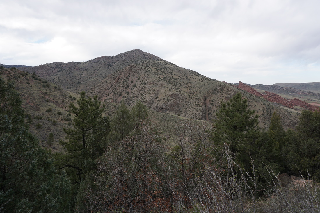
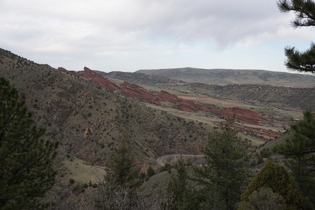
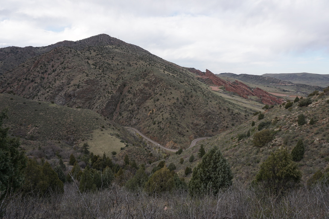
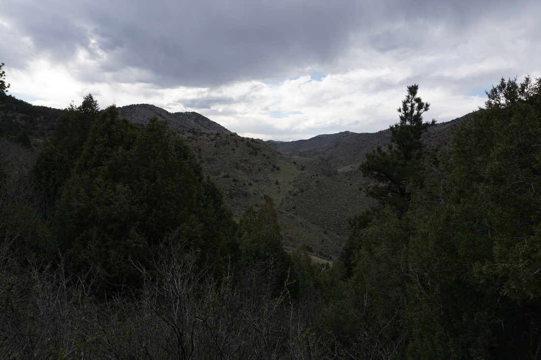
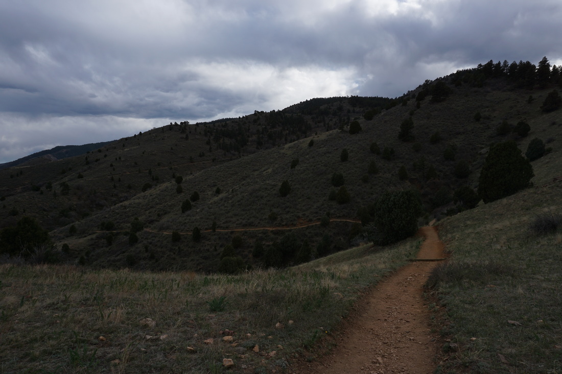
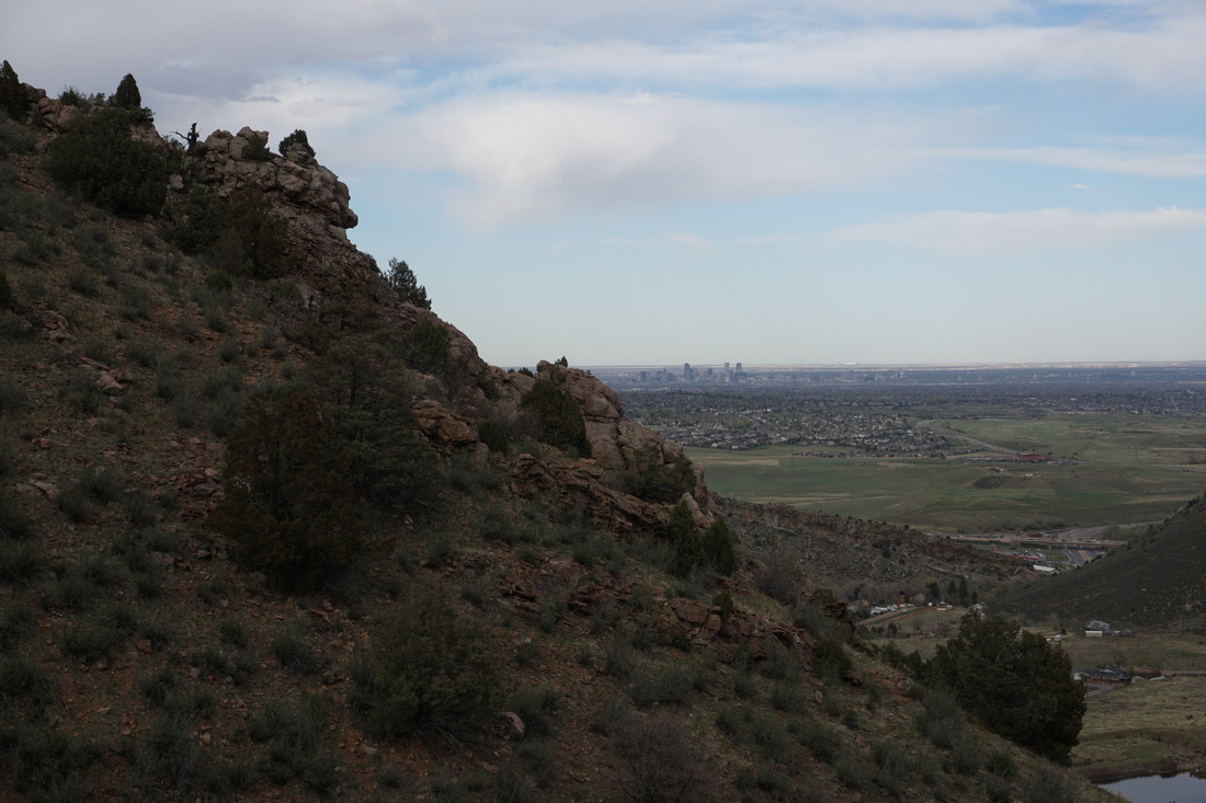
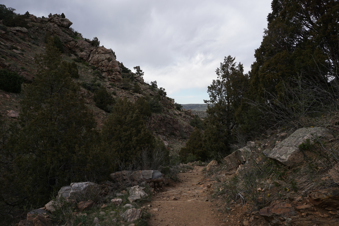
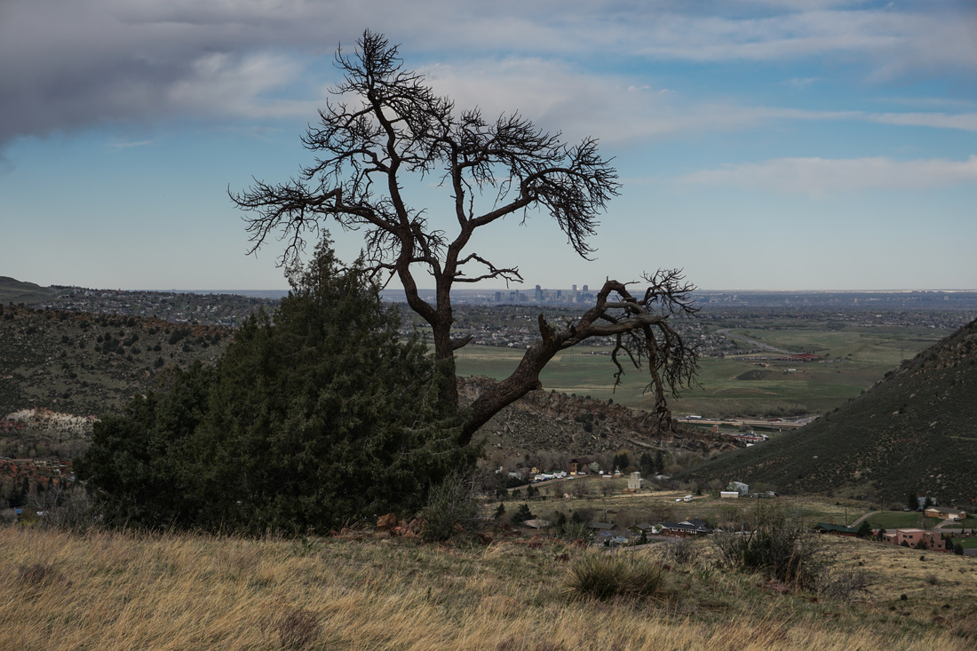
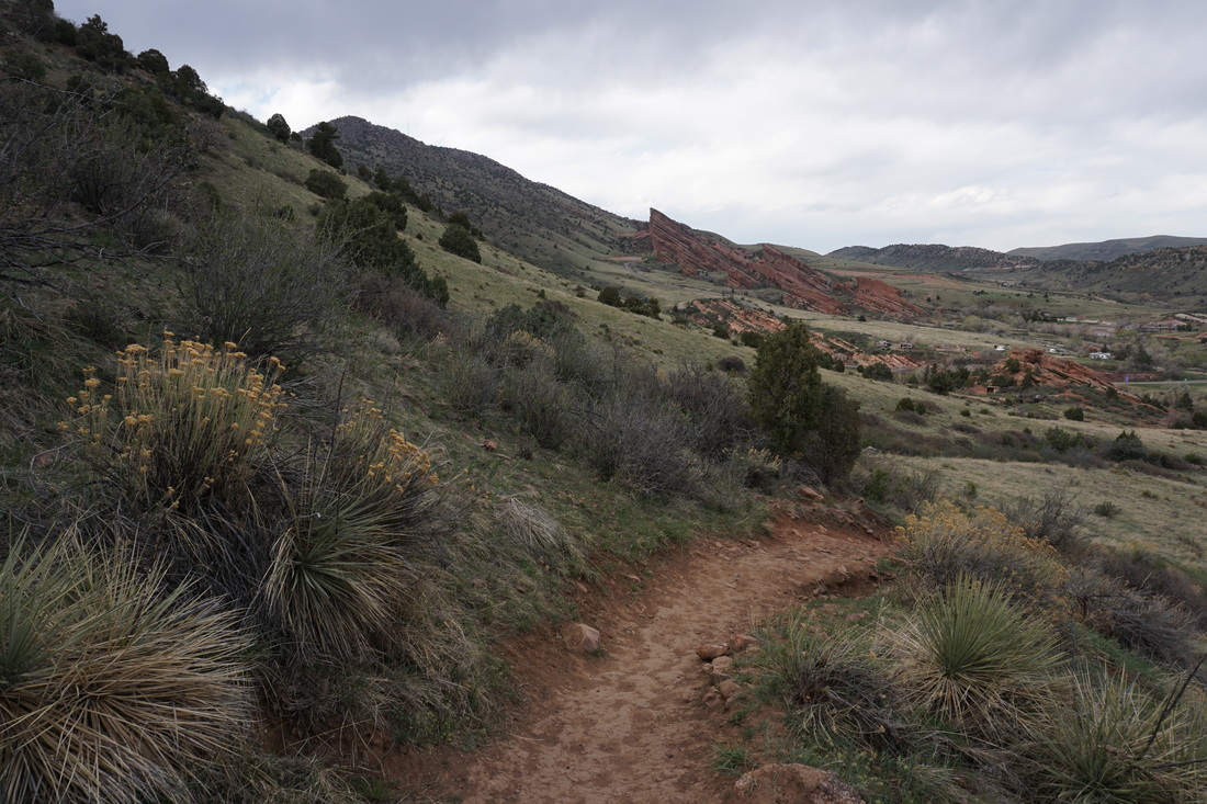
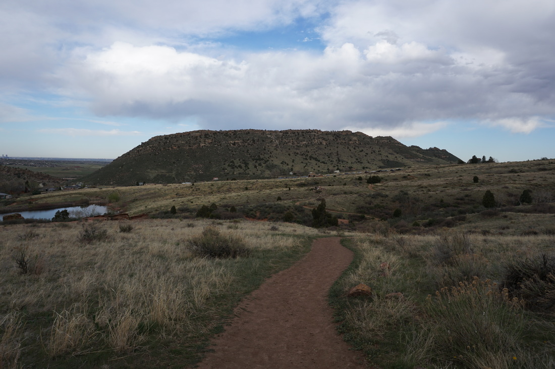
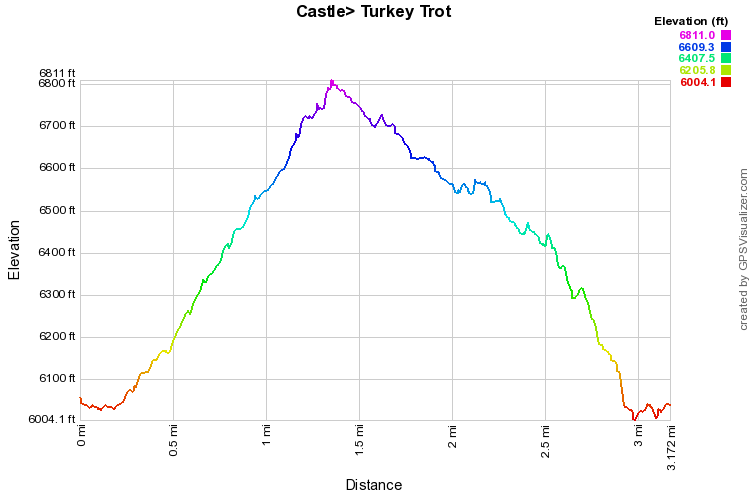
The Castle & Turkey Trot trails provide a fantastic 3 mile hike.  The route makes for a great training hike in the foothills as you gain about 850ft of elevation on the way up.  The park is very popular with mountain bikers but the Turkey Trot trail is hiker only.

I prefer to start out on the Castle Trail hiking the loop in a counter-clockwise direction, the uphill is gentler this way.  The Castle trail meanders up and down over some hilly country before starting the switchbacks up Mt. Falcon.  The views of Red Rocks, Morrison Mountain, and the Hogback are wonderful as you ascend.  At the top of the ridge, you'll hit a saddle and see the trail sign for the Turkey Trot Trail.  Turn right onto the Turkey Trot, or continue uphill to reach the Walker's Dream Trail.  

The descent down the back of the hill enters a dense forest with distant views west to James Peak.  After the initial descent you'll start uphill again for just a short time, topping out with an amazing view down onto Red Rocks and Mt. Morrison.  As you re-emerge on the eastern slopes, the trail gets rockier and steeper as you switchback your way down to the Trailhead.  
Powered by Create your own unique website with customizable templates.