|
Directions: From Denver take I-70 west to Hwy 58 west to 93 North. Turn left onto Golden Gate Canyon Road and proceed just a few miles. The parking area and trailhead will be on your left.
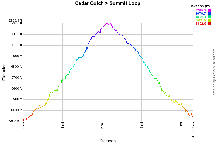
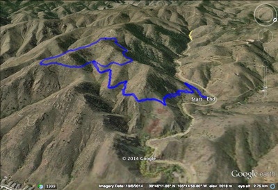
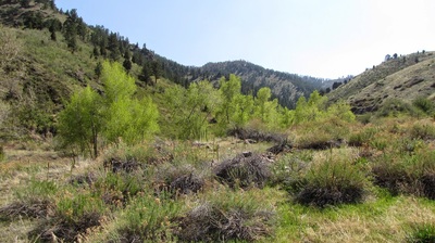
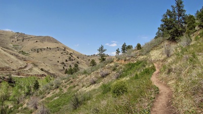
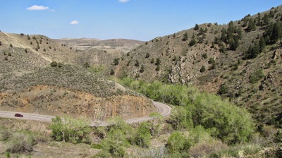
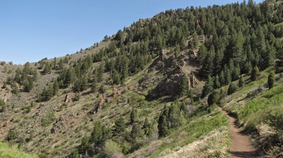
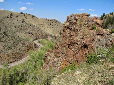
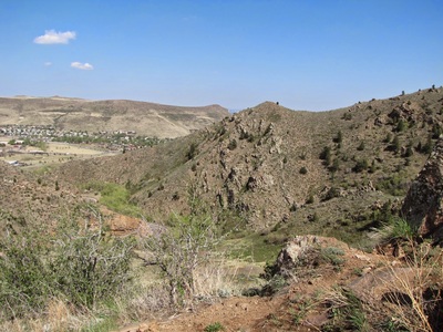
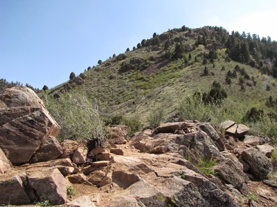
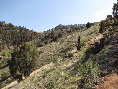
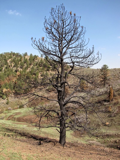
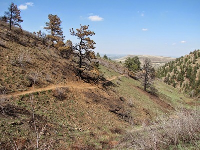
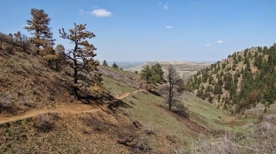
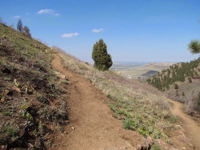
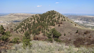
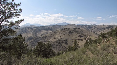
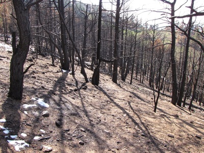
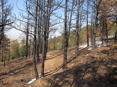
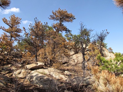
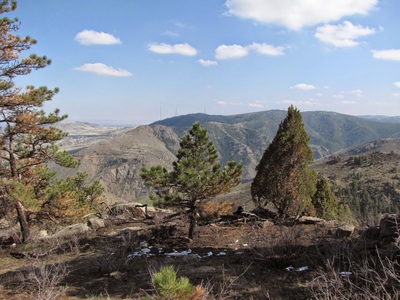
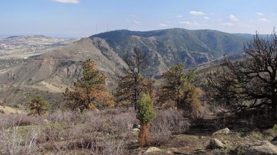
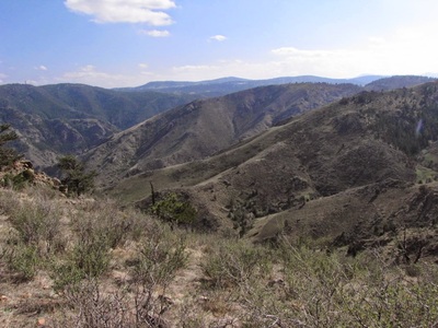
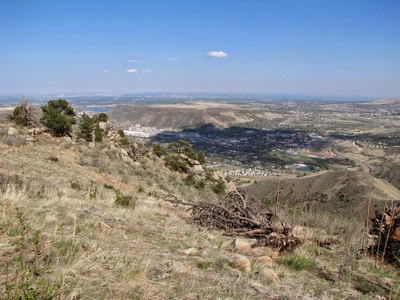
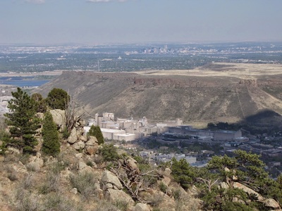
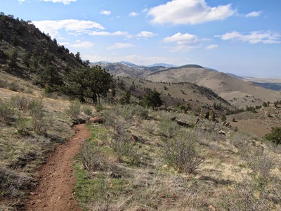
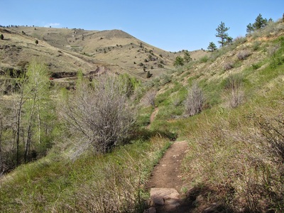
Mt. Galbraith is a wonderful open space park, very close to Denver and Golden, and the Cedar Gulch Trail is the main attraction of this park. There are two trails up to the summit loop, this and the Nightbird Gulch Trail, and the Cedar Gulch Trail is by far the more popular. The trail is a true pleasure to hike along and offers a great workout with fantastic foothill views. From the parking area you switchback up the south side of Golden Gate Canyon and traverse the canyon wall until you reach the ridge line and descend down the other side of the ridge. From here the trail winds down and back up towards the summit. As you near the summit loop, you'll enter a recovering burn area with it's stark and contrasting beauty. At the junction of the summit loop you have a choice, a prefer to turn right and continue uphill to the summit. As you round the base of Mt. Galbraith you'll be treated to views out to the west and the continental divide, then to the south and Lookout Mountain. The trail gets a bit rocky, but also very exciting. After you hit the summit, you'll descend down the south face of the mountain and head back east. The terrain and the views from this section are some of my favorite in the foothills. Head down into the forest and soon you'll hit the Cedar Gulch Trail again. Turn right and follow this trail back the way you came. Mt. Galbraith is a gem and until recently a hidden gem. The park is becoming more popular with hikers as it is one of the few Jeffco parks that is hiker-only. I have nothing against Mountain Bikers but it is nice to not have to keep your eyes and ears peeled for oncoming bikes. That aside, this is really a beautiful park, the hiking is moderate and exciting and the views are top notch. |
- HOME
- ABOUT
-
HIKES BY REGION
-
NATIONAL PARK HIKES
- BENT'S OLD FORT NATIONAL HISTORIC SITE
- BLACK CANYON OF THE GUNNISON NATIONAL PARK
- COLORADO NATIONAL MONUMENT
- CURECANTI NATIONAL RECREATION AREA
- DINOSAUR NATIONAL MONUMENT
- FLORISSANT FOSSIL BEDS NATIONAL MONUMENT
- MESA VERDE NATIONAL PARK
- ROCKY MOUNTAIN NATIONAL PARK
- GREAT SAND DUNES NATIONAL PARK
- HOVENWEEP NATIONAL MONUMENT
- SAND CREEK MASSACRE NATIONAL HISTORIC SITE
- YUCCA HOUSE NATIONAL MONUMENT
- HIKES BY CATEGORY
- NEWS
- WEBCAMS
- $UPPORT GHC
- INTERACTIVE MAP
Cedar Gulch & Summit Loop
Mount Galbraith Park
Date Hiked: March 23, 2014
Distance: 4.3 mi (RT)
Elevation Gain: 900f
Elevation Min/Max: 6,303 to 7,205ft
Managing Agency: Jefferson County Open Space
Fee: None

