|
|
|
Directions: From Denver, take I-70 west to Hwy 58 west to Hwy 6 through Clear Creek Canyon. Follow 6 through the canyon and at the 119/6 interchange, bear right onto 119. Turn right onto Douglas Mountain Road and follow signs to Centennial Cone Park.
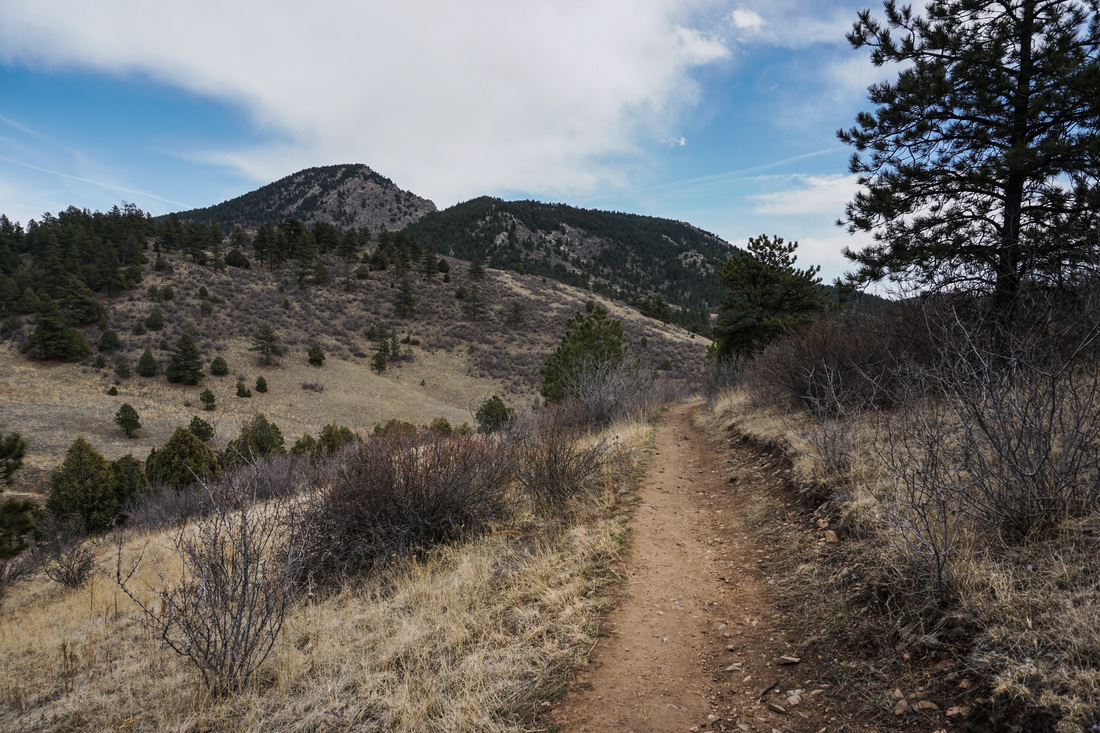
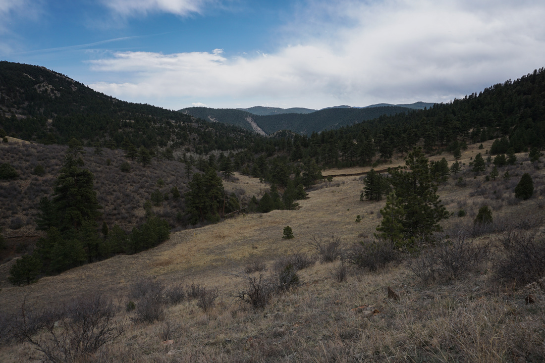
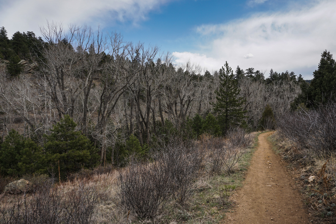
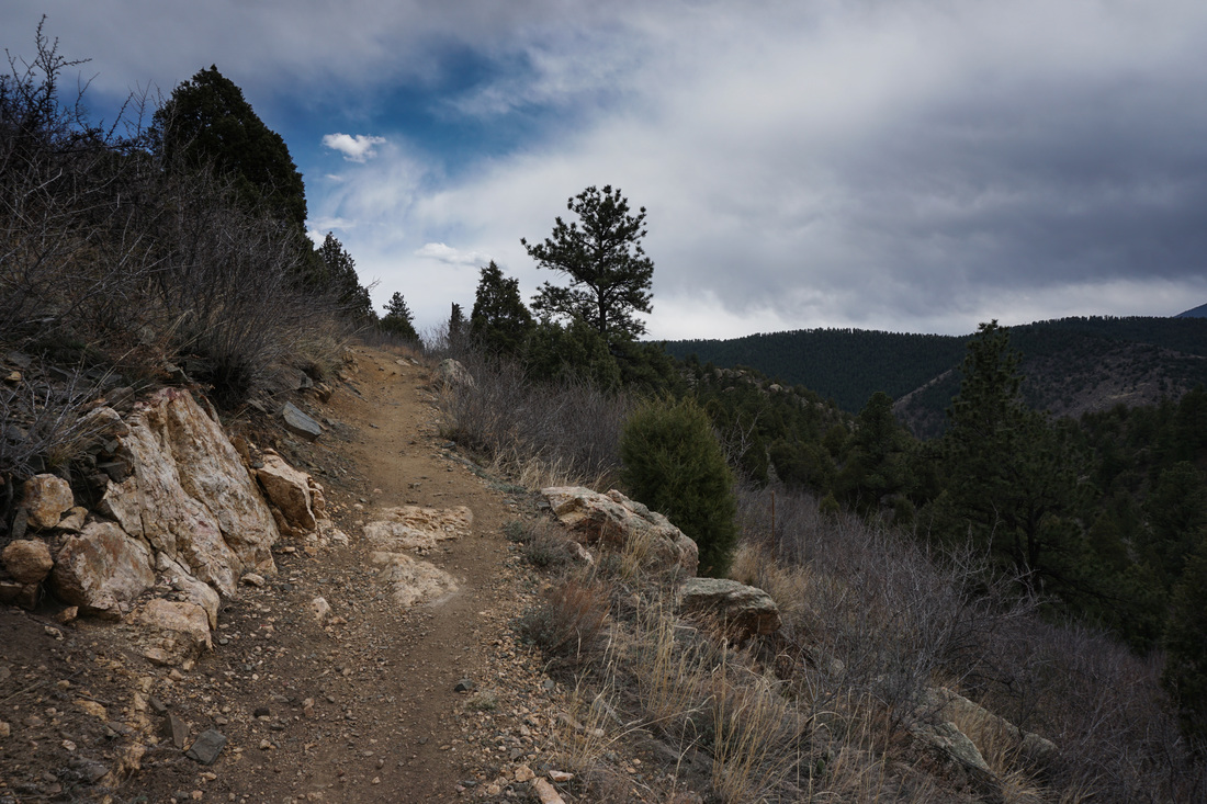
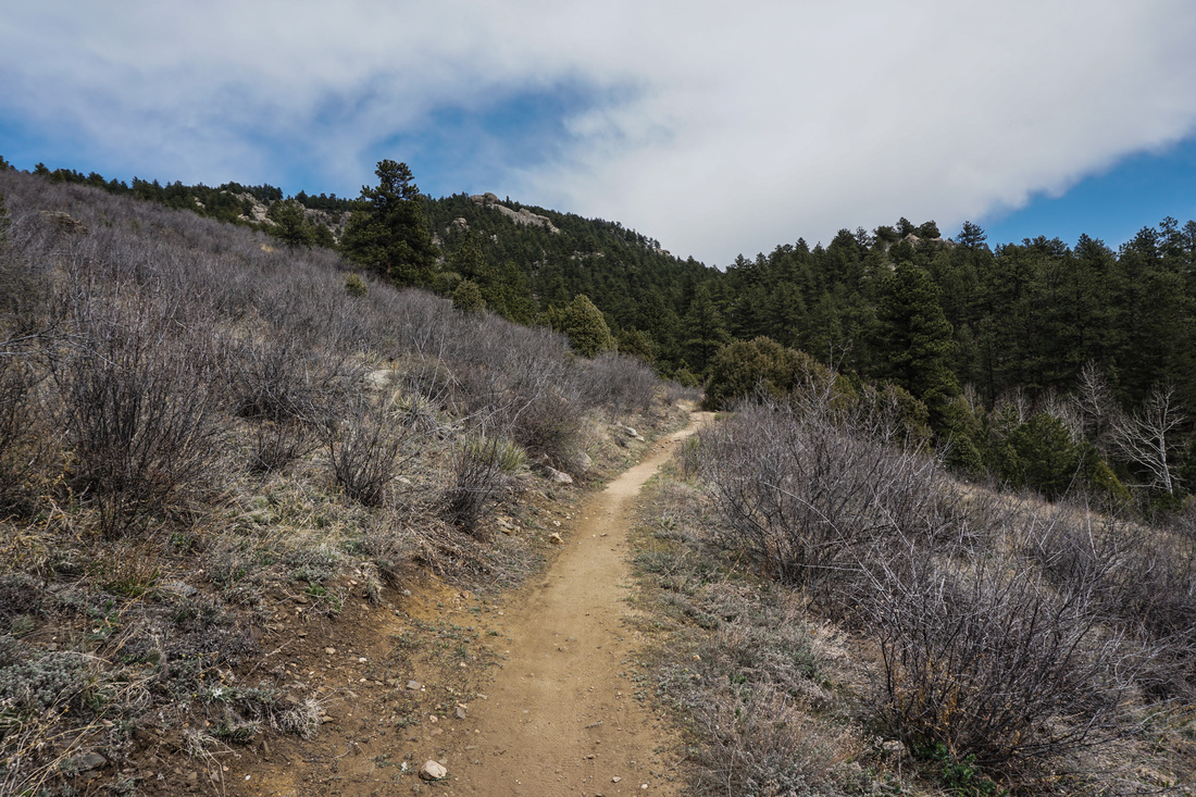
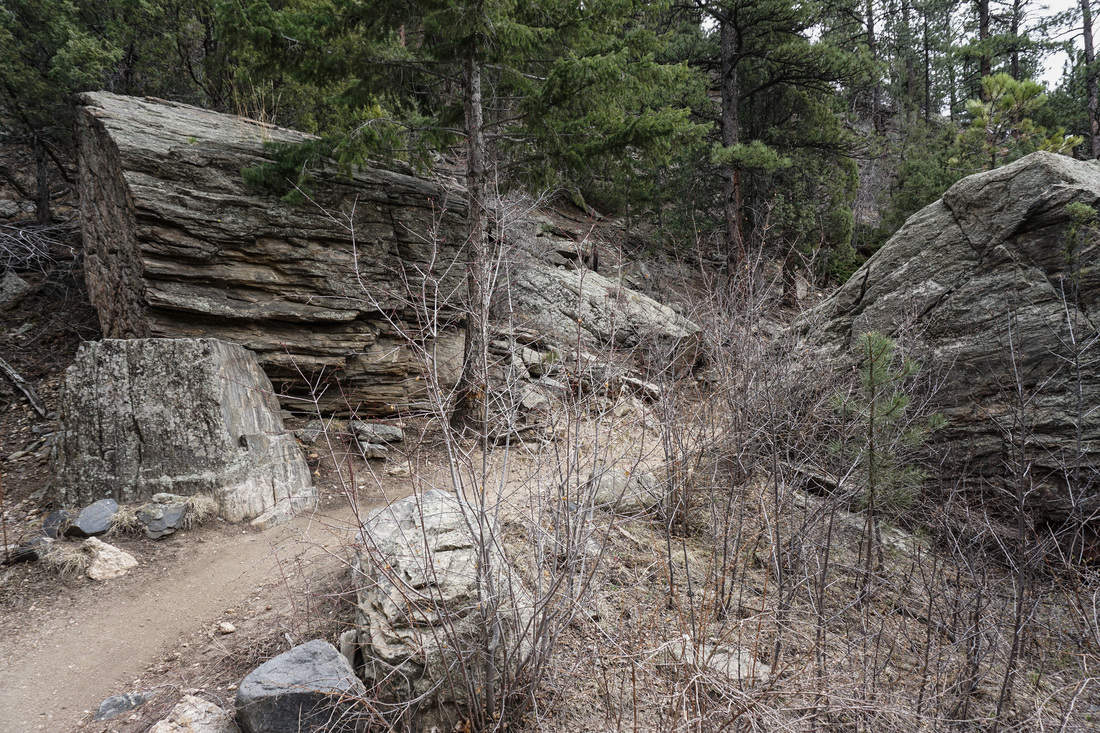
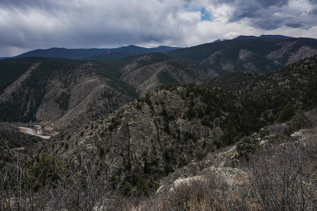
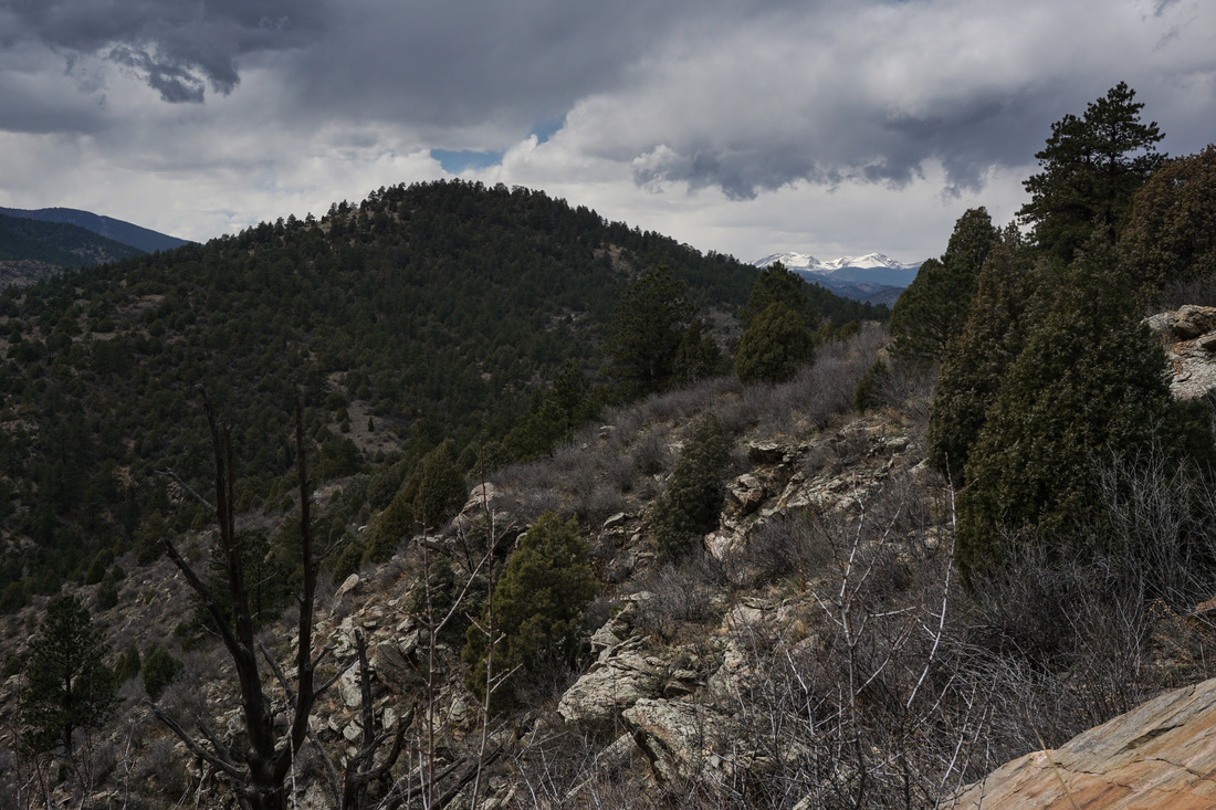
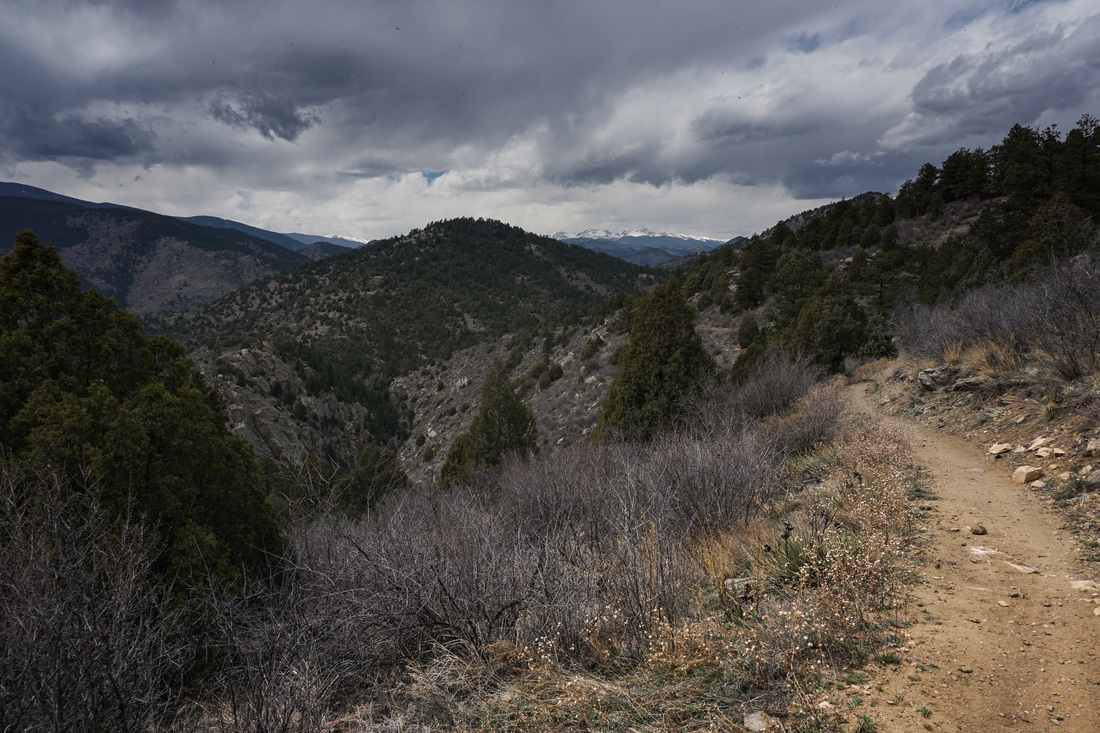
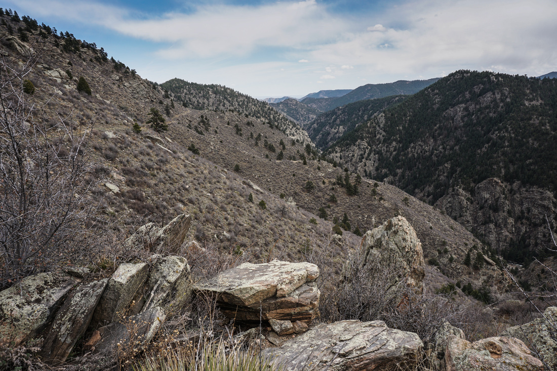
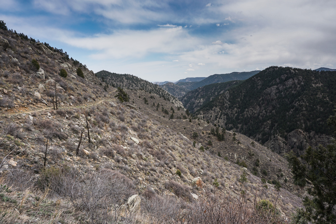
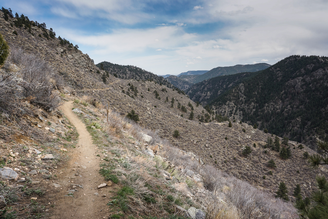
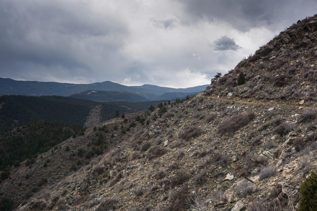
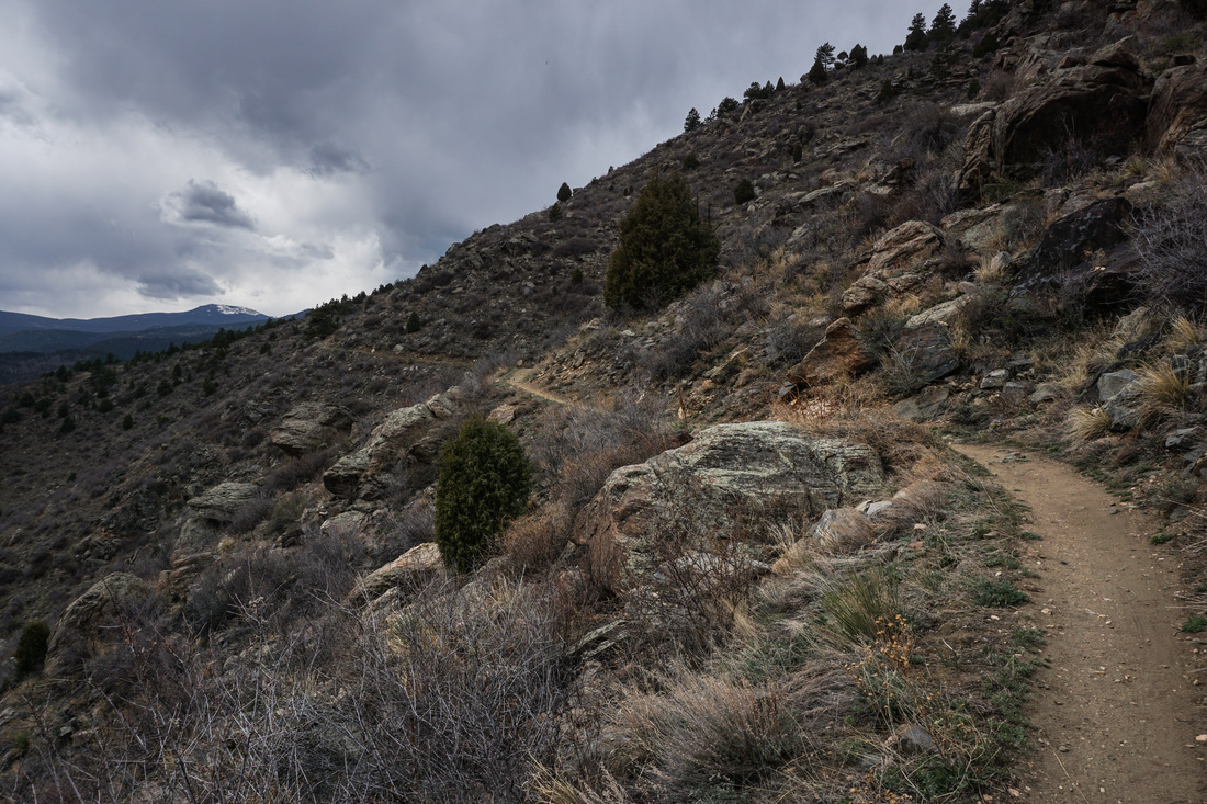
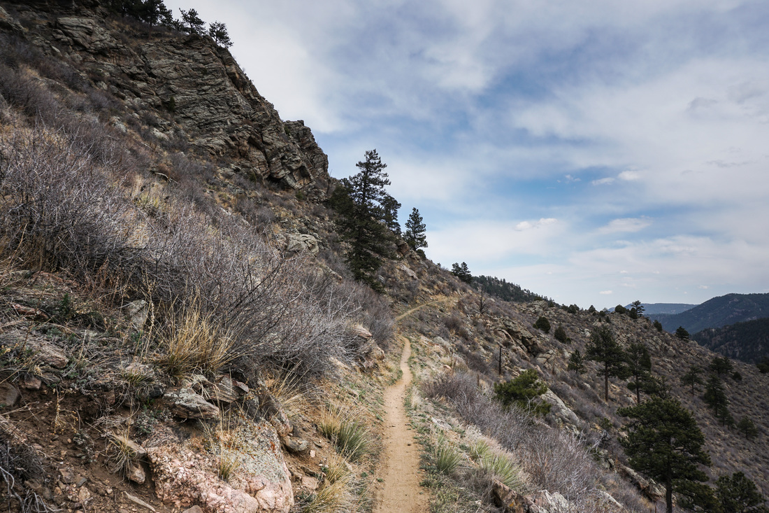
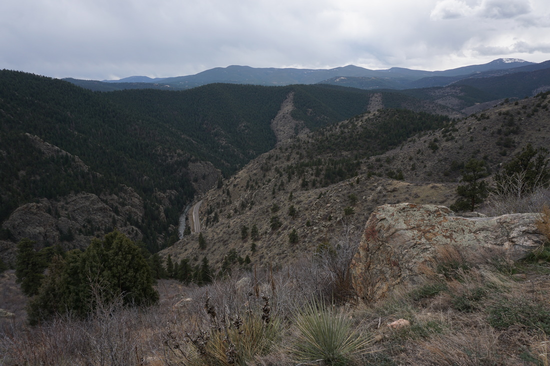
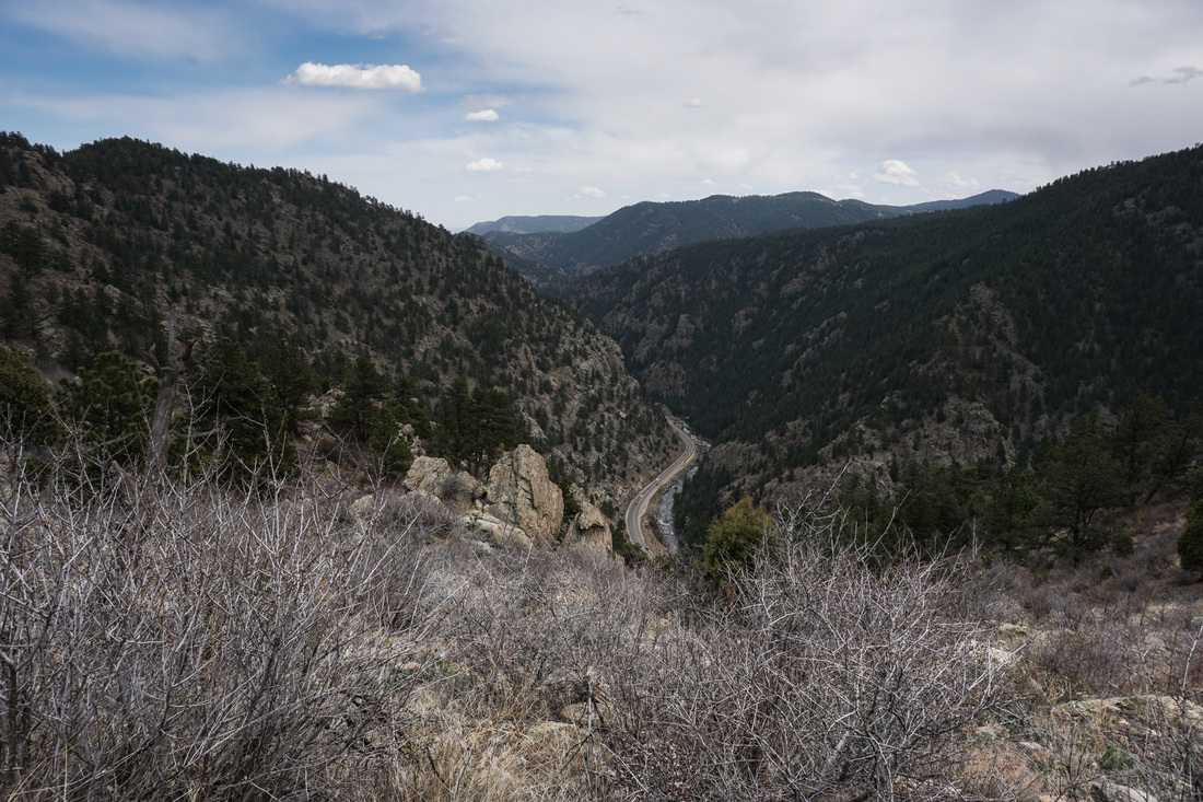
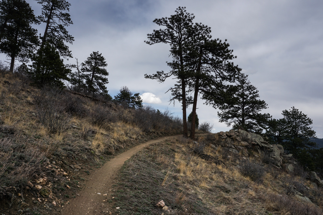
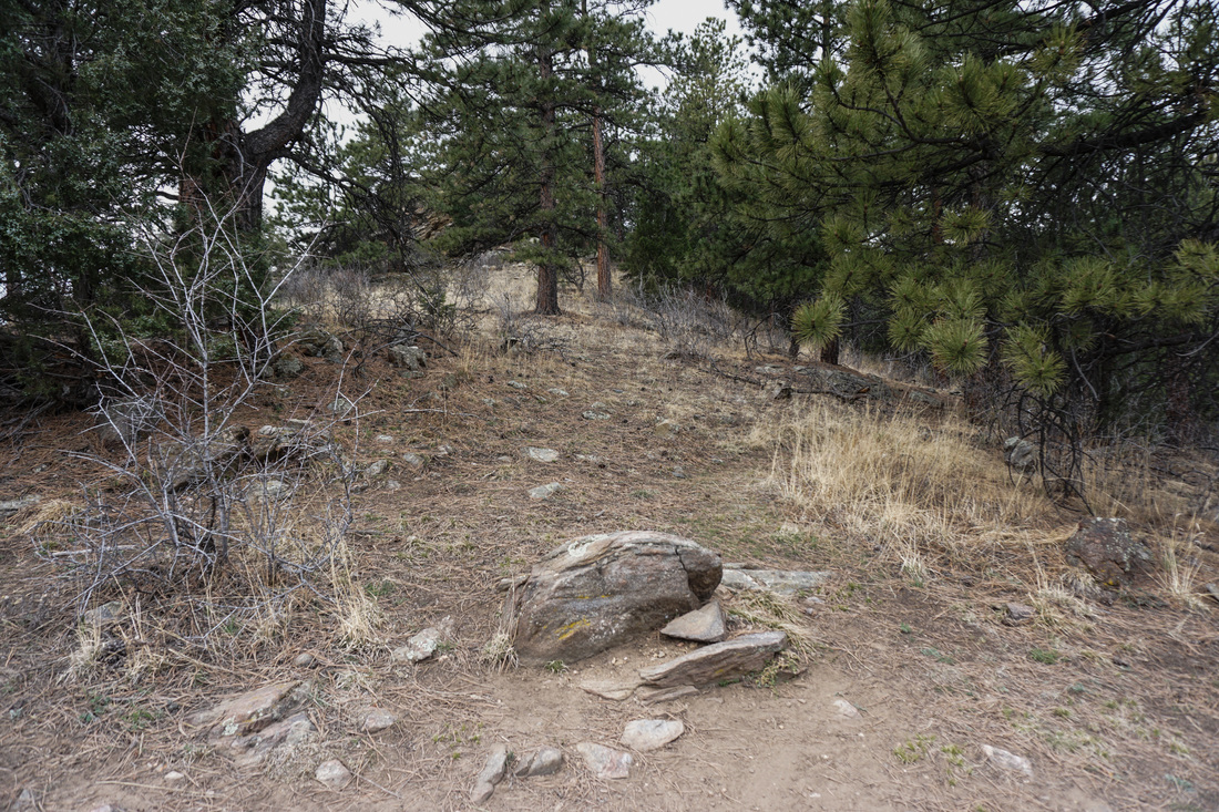
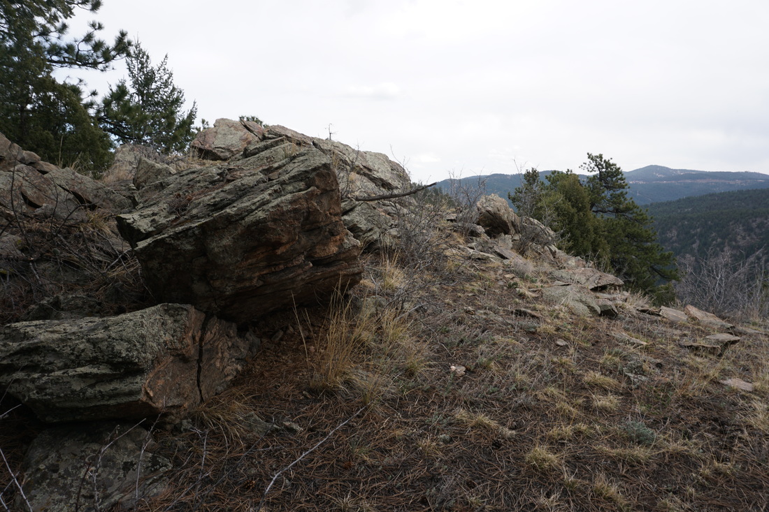
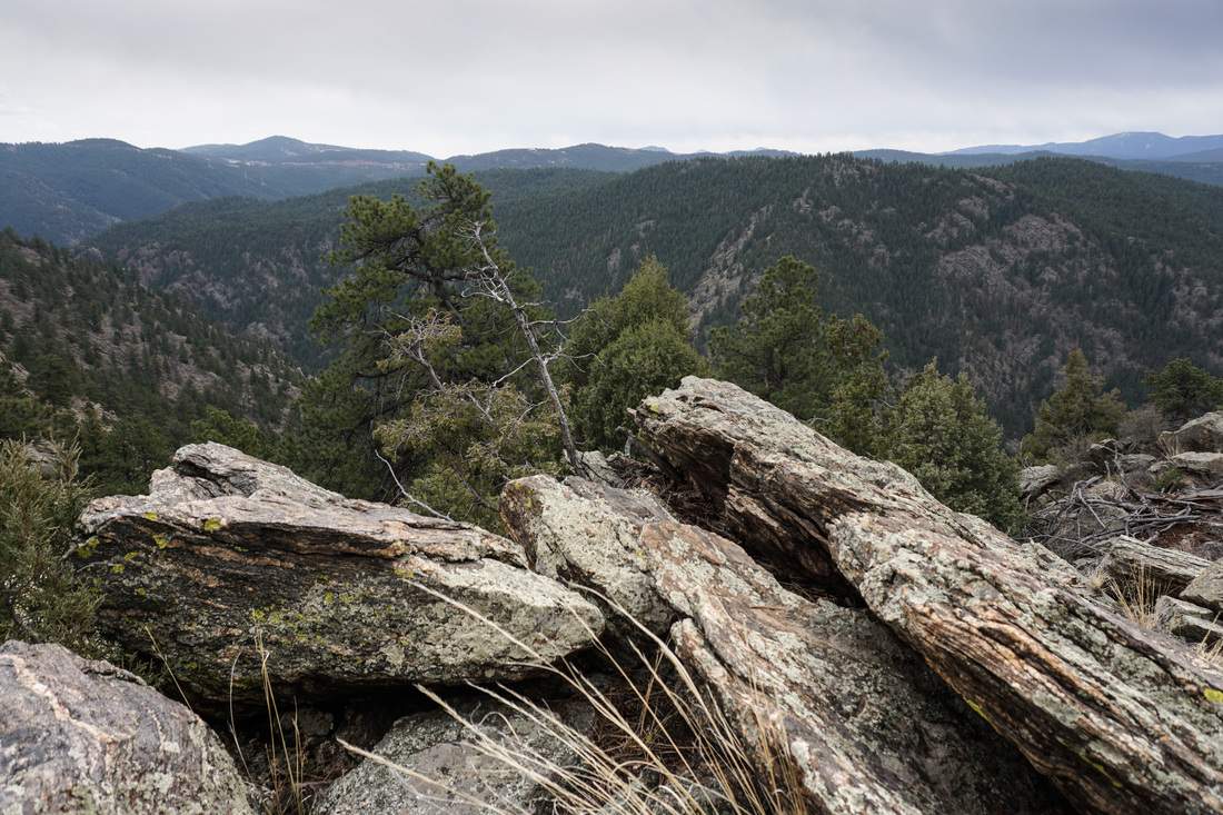
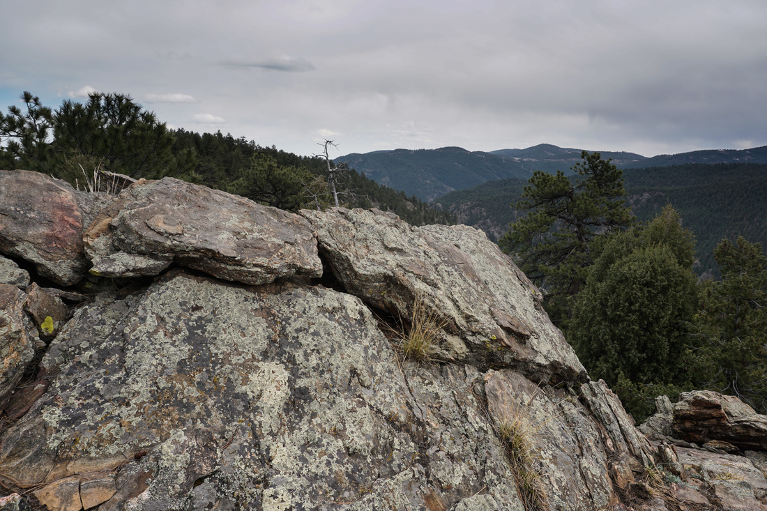
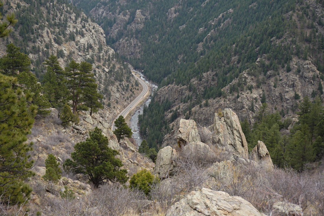
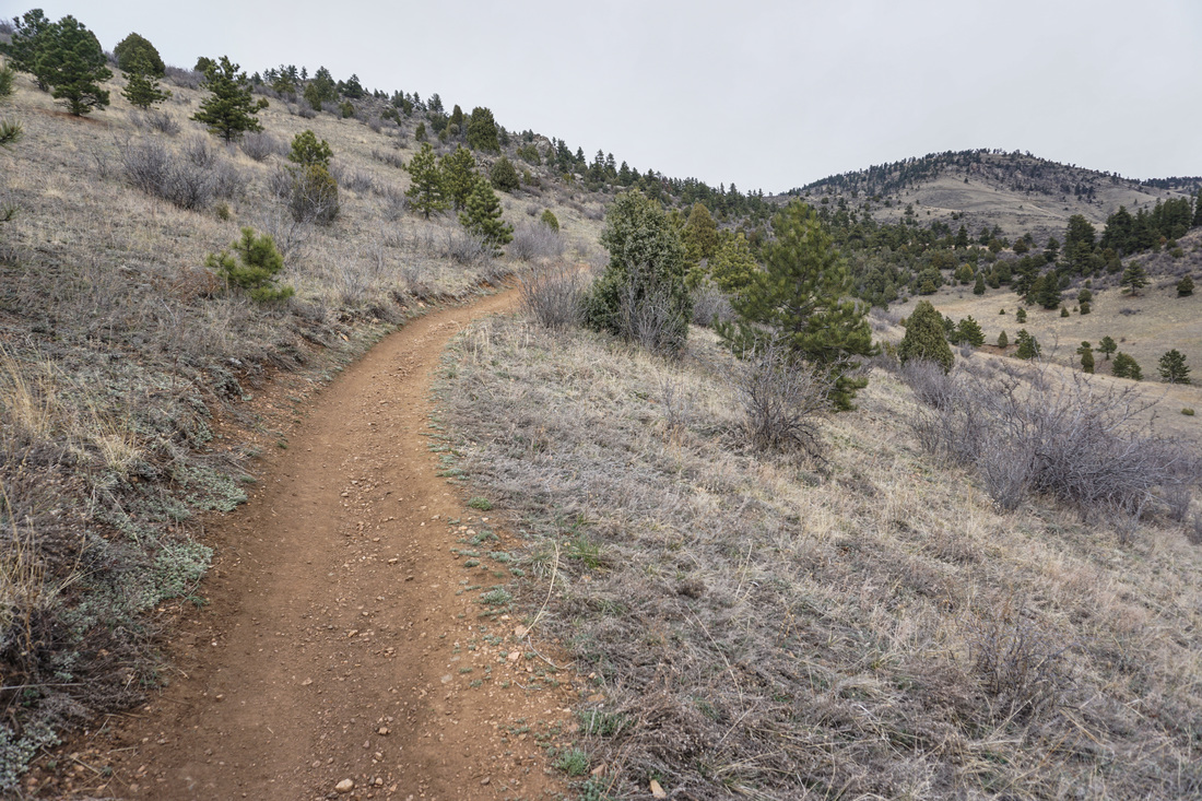
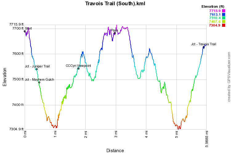
Centennial Cone Park is a beautiful foothills area and the park mainly consists of a large 12.2 mi loop trail. Due to the lengthy loop, access is limited for hikers. The park is popular for mountain biking and there is an alternating hiking/biking schedule on summer weekends. Check the park's website for the schedule before heading out. There are two smaller loops in the park, the Evening Sun Loop and the Mayhem Gulch/Juniper Trail Loop. Aside from that, the lengthy trails are wonderful for exploring and wandering with no real destination in mind. The destination for this hike is an unnamed pass about 3 miles from the trailhead. The pass comes after a wonderful trail skirting the rim of a ridge high above Clear Creek Canyon. The views are spectacular and the hike is fun and exciting. From the trail head turn right onto the Travois Trail and proceed down hill past the Mayhem Gulch and Juniper Trail junctions for 1 mile down to a peaceful creek and cottonwood grove. Cross the creek and start heading uphill. At about the 1.7 mi mark you'll break out into the viewshed of Clear Creek Canyon to a nice viewpoint. This makes a good turnaround point for a 3 mi (RT) jaunt. However, the trail ahead will be very inviting and you probably won't want to turn back just yet. Continue on the trail which skirts the edge of the canyon steadily climbing up to the top of the ridge. There are various rock outcroppings as you go and be sure to look behind you for a great view of James Peak and the Continental Divide. At about the 3 mile mark you'll reach the wooded pass and be looking up at Centennial Cone. For a great view, leave the main trail to the left and climb for a few minutes up to a rock outcropping. From here the trail drops down for another 1.5 miles to Elk Creek, so this is a great place to take in the views before heading back to the trailhead. |
|