|
|
|
Directions: From downtown Evergreen, take 73 south and turn right (west) on Buffalo Park Rd. Follow Buffalo Park Road past the first parking lot for the park and continue past the open meadow and historic site to the second parking lot on the right.
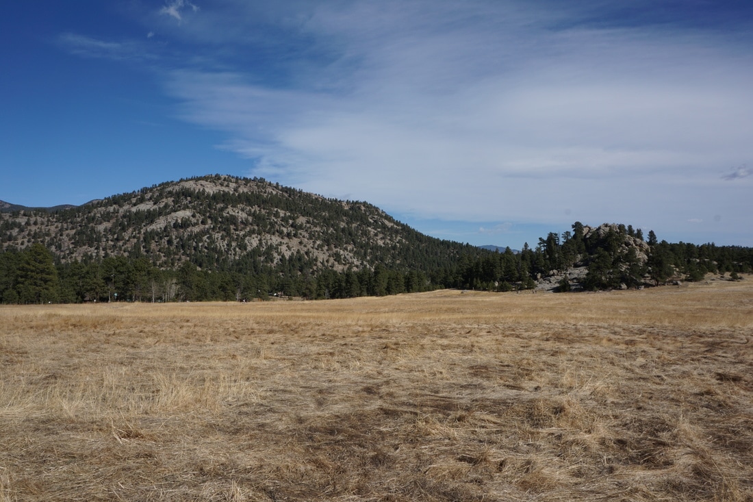
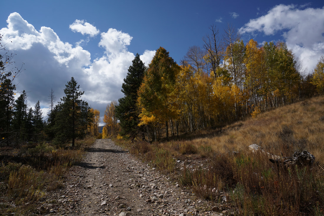
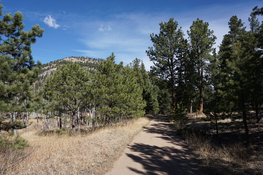
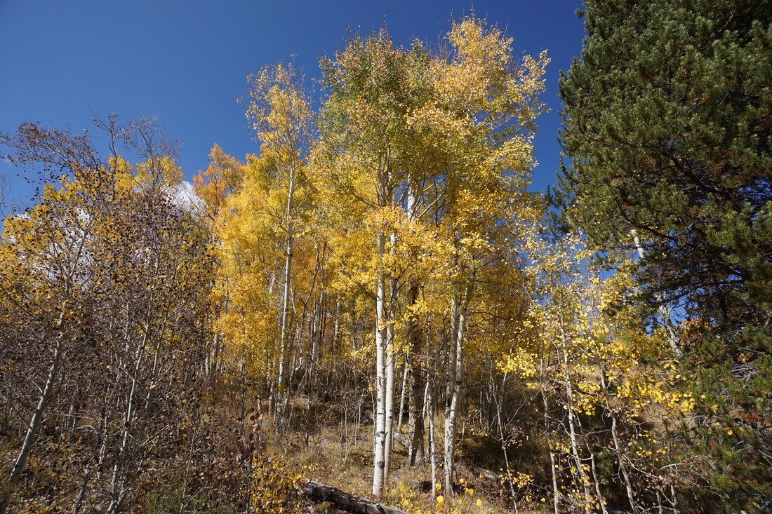
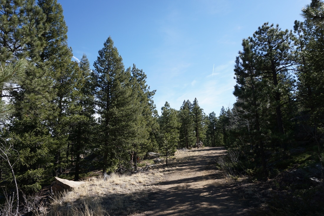
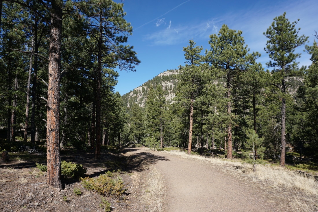
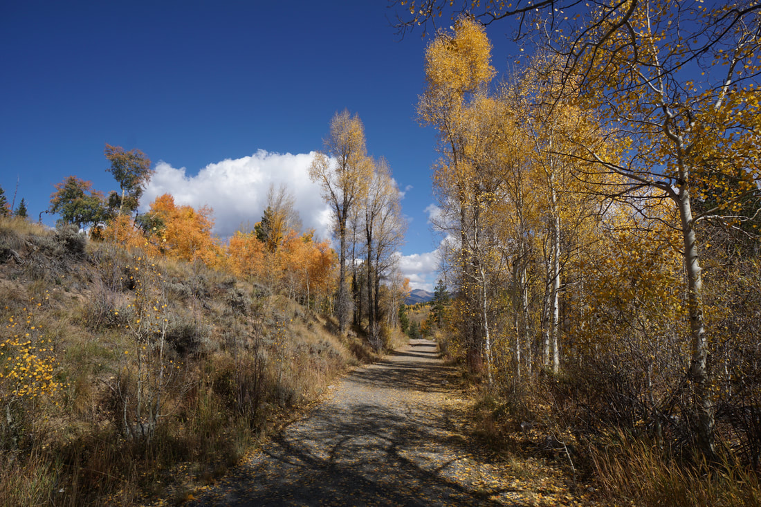
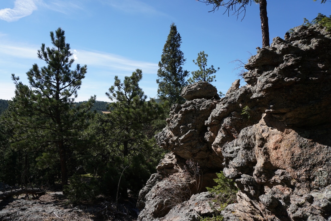
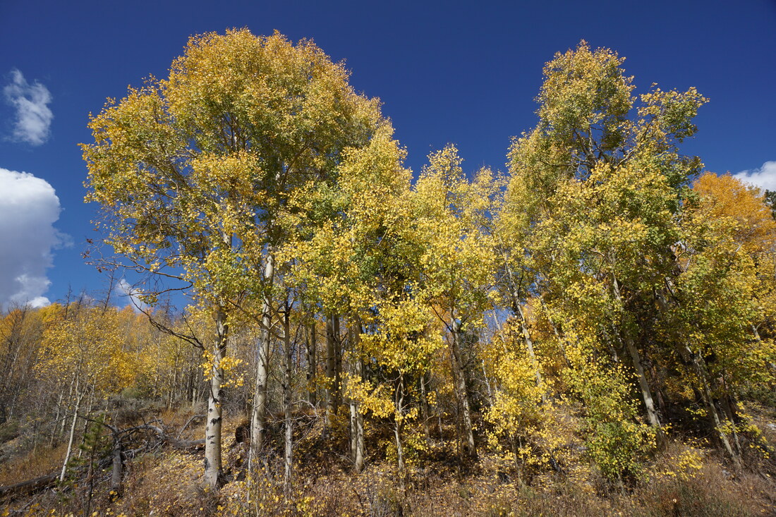
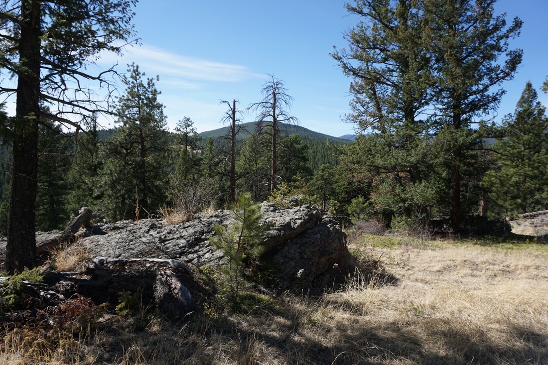
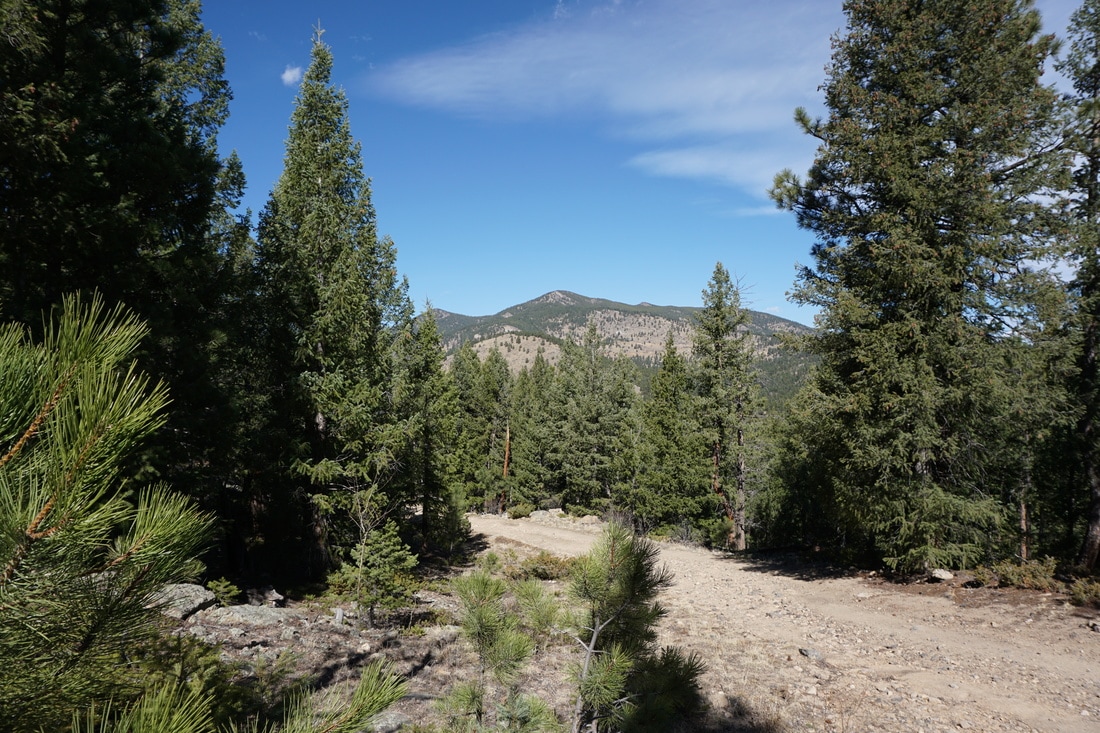
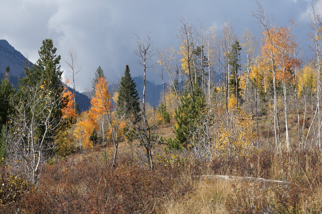
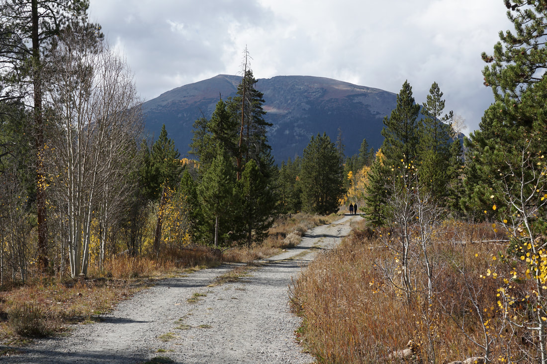
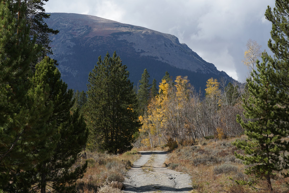
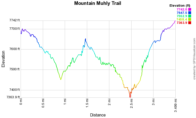
The Mountain Muhly trail is a largely overlooked trail. The number one reason to hike this trail is the solitude. Even on busy weekends, the number of hikers on the Mountain Muhly Trail are far fewer. The trail itself is relatively easy with only a few rocky areas and it provides wonderful views of Elephant Butte to the west and the Three Sisters formation to the east.
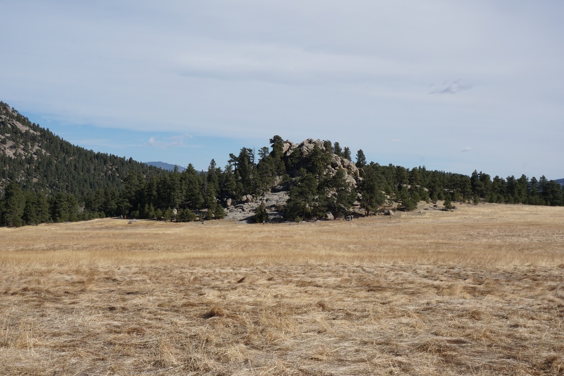
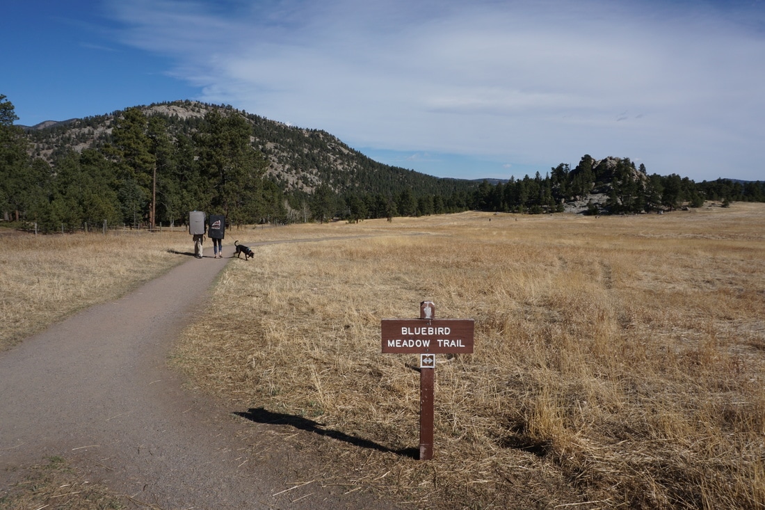
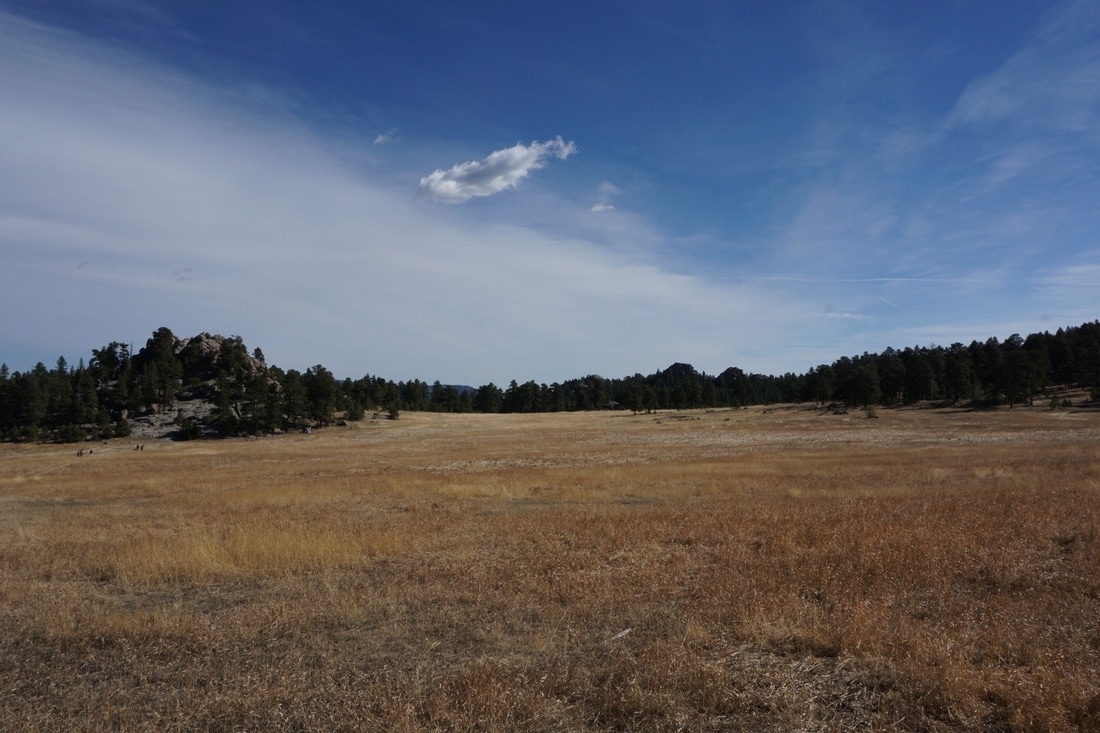
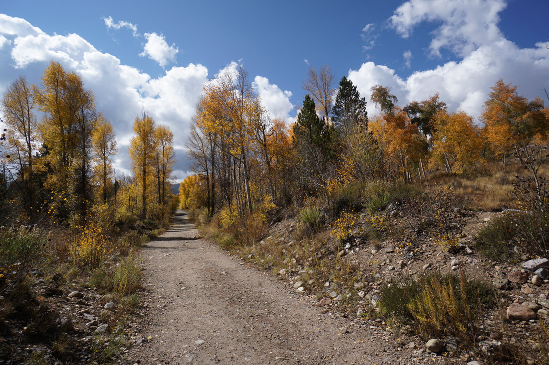
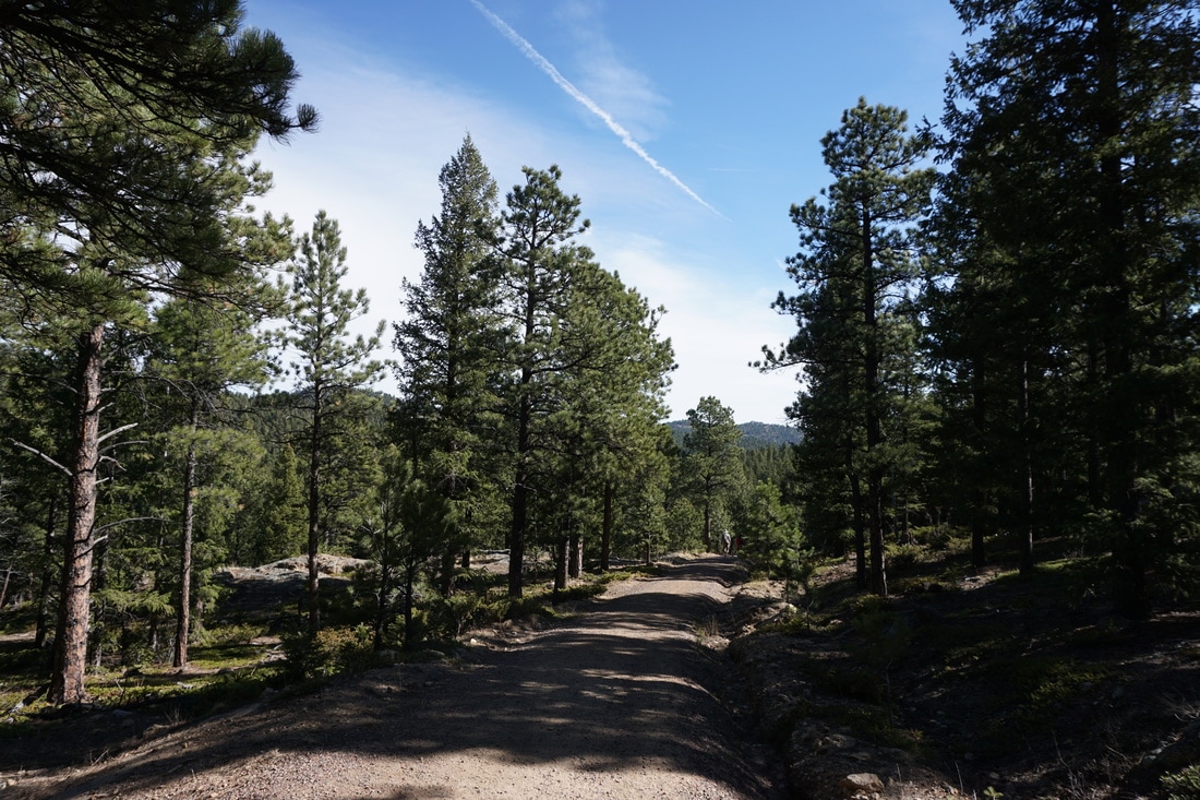
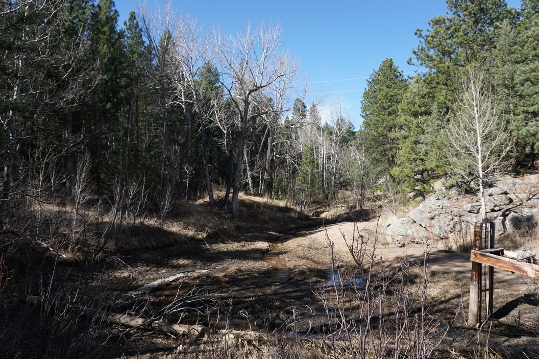
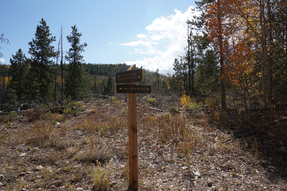
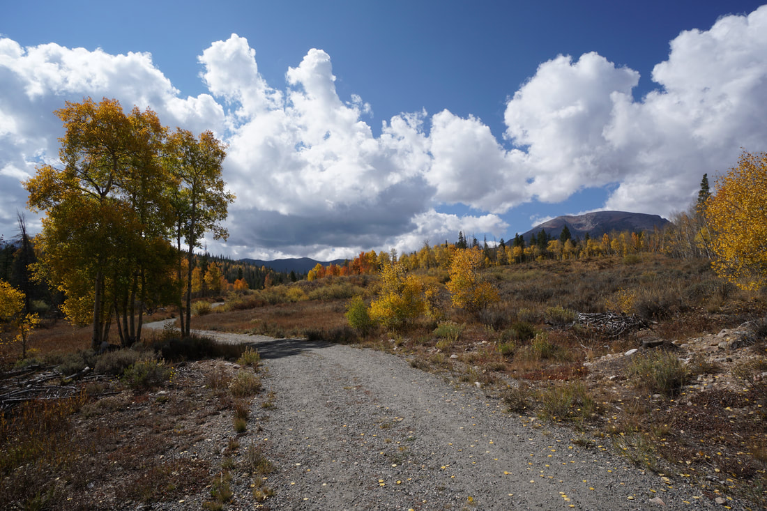
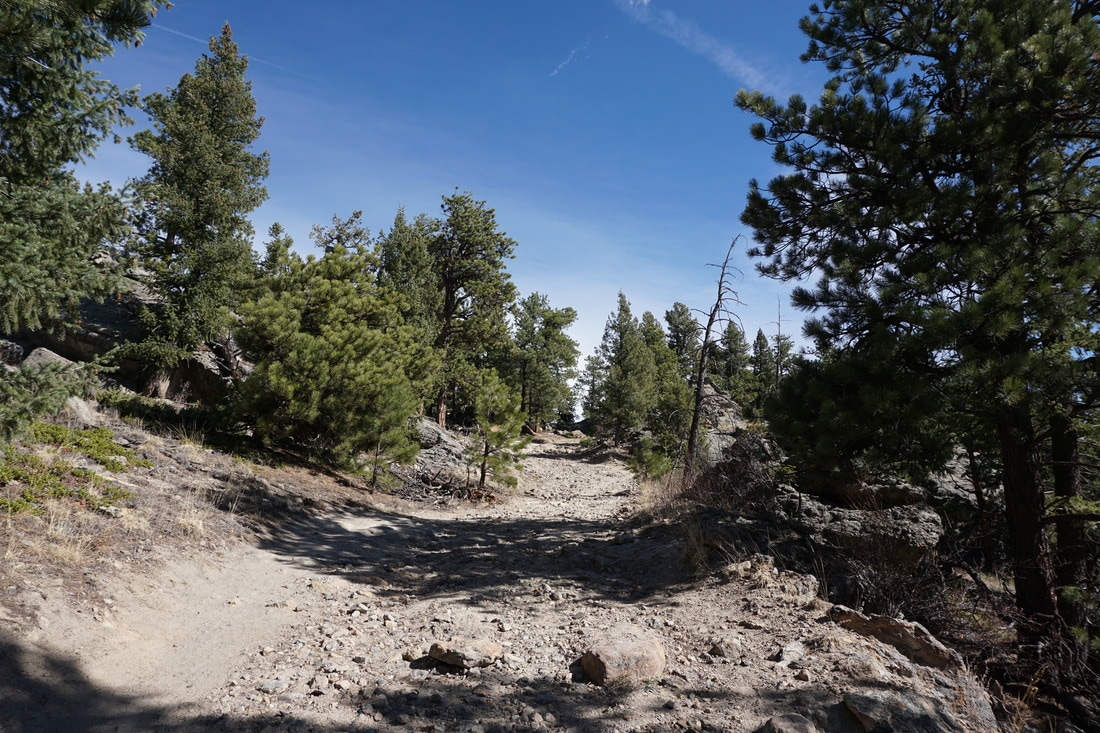
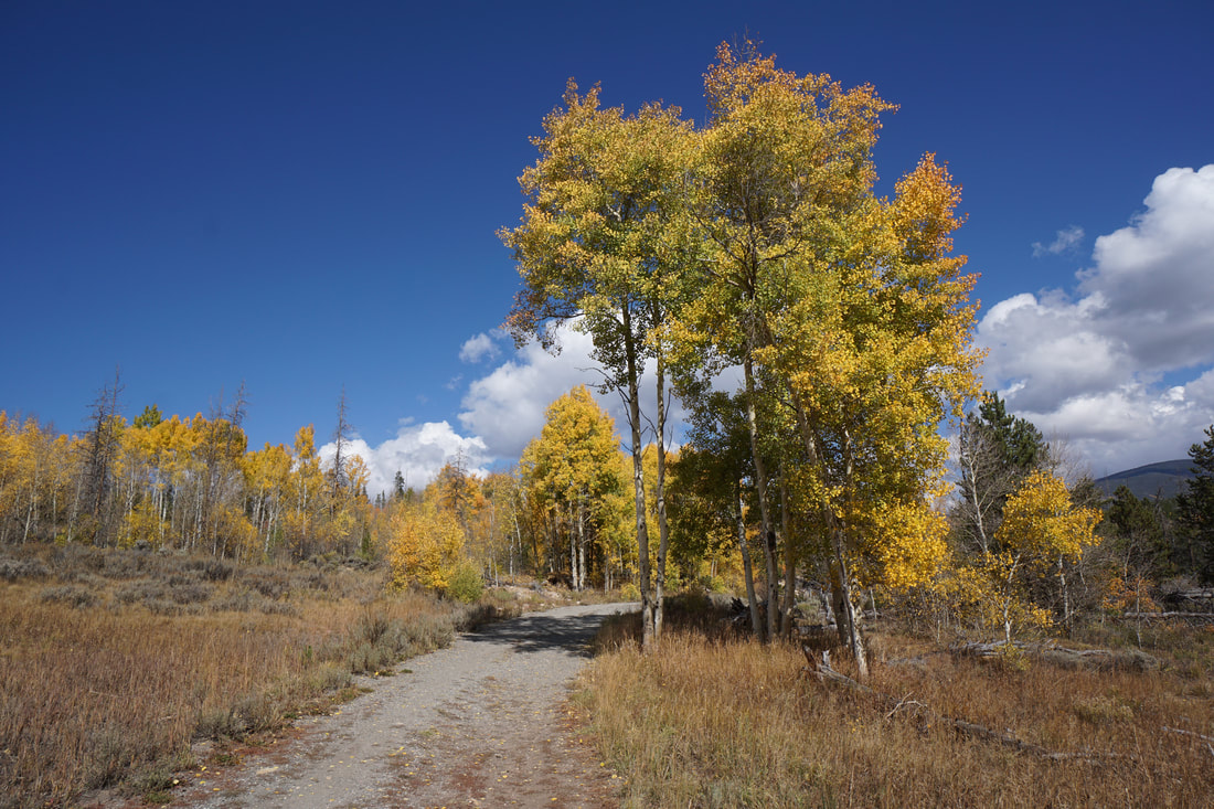
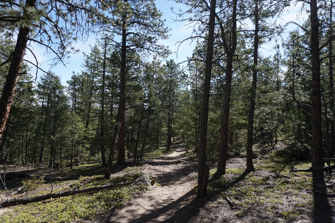
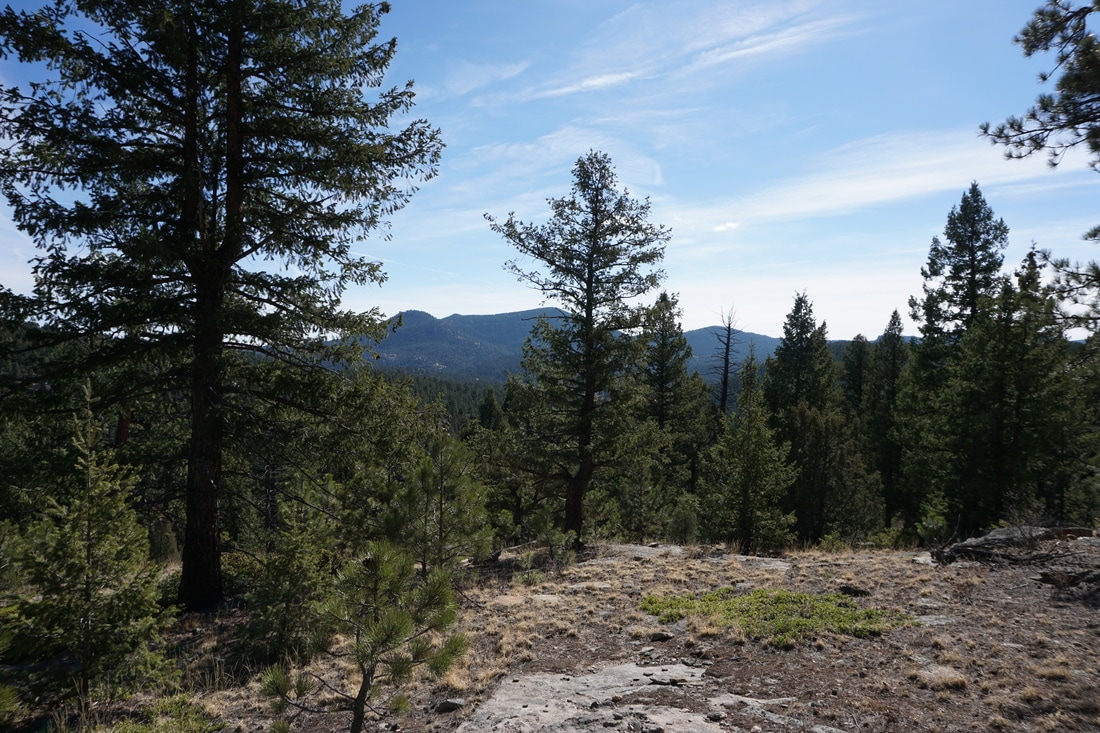
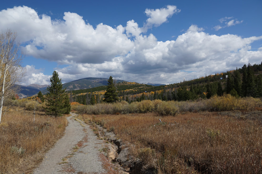
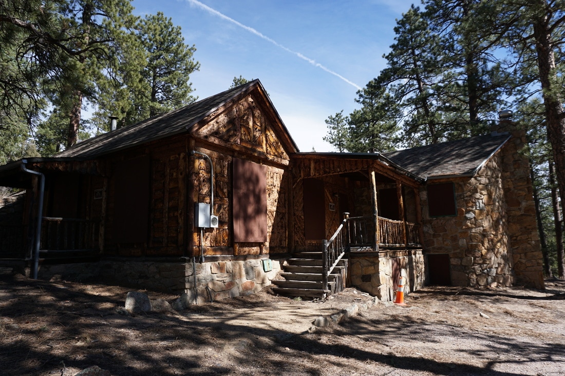
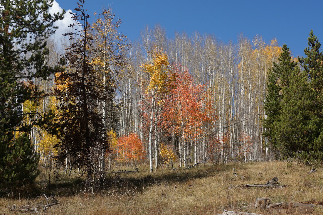
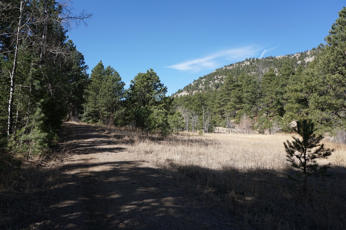
From the parking area, start heading north on the Bluebird Meadow Trail towards the Gilligan's Island rock formation. Turn left onto the Homestead Trail and then stay left onto the Bearberry Trail to the Mt. Muhly Trail junction. Bear left onto the Mountain Muhly Trail to start the loop. Mt. Muhly will drop drown through dense forest to a creek and spillway before starting to climb up to the trail's high point. Along this stretch the views begin to pop through the forest. After you reach the rocky high point of the trail, continue downhill into the forest. Soon the wide road ends and a single track loops around the trail's furthest reaches. Now heading back towards the trailhead, you are treated to nice views of the Three Sisters as well as some views of Evergreen Lake through the trees. The trail zig zags down to an old maintenance cabin and an open meadow. Soon you'll join up with the Bearberry trail, skirt another open meadow, and meander through more forest until you reach the wide open spaces of Bluebird Meadow and the trailhead. While the Mt. Muhly Trail does not access the main attraction of the open space, it does provide nice scenery and substantial solitude. Perfect for busy summer weekends. |
|