GO HIKE COLORADO
Get in Touch:
  • HOME
  • ABOUT
  • HIKES BY REGION
    • DENVER AREA >
      • Denver Mountain Parks
      • Jefferson County Open Space
      • Lakewood Parks
      • Denver Area Greenways
    • BOULDER AREA
    • DOUGLAS COUNTY
    • FORT COLLINS AREA
    • COLORADO SPRINGS AREA
    • FRONT RANGE
    • TENMILE & MOSQUITO RANGES
    • GORE RANGE
    • SANGRE DE CRISTO MOUNTAINS
    • PARK RANGE
    • SAWATCH RANGE
    • ELK MOUNTAINS
    • SAN JUAN MOUNTAINS
    • THE FLAT TOPS
    • GRAND MESA
    • COLORADO PLATEAU
    • EASTERN PLAINS
  • NATIONAL PARK HIKES
    • BENT'S OLD FORT NATIONAL HISTORIC SITE
    • BLACK CANYON OF THE GUNNISON NATIONAL PARK
    • COLORADO NATIONAL MONUMENT
    • CURECANTI NATIONAL RECREATION AREA
    • DINOSAUR NATIONAL MONUMENT
    • FLORISSANT FOSSIL BEDS NATIONAL MONUMENT
    • MESA VERDE NATIONAL PARK
    • ROCKY MOUNTAIN NATIONAL PARK
    • GREAT SAND DUNES NATIONAL PARK
    • HOVENWEEP NATIONAL MONUMENT
    • SAND CREEK MASSACRE NATIONAL HISTORIC SITE
    • YUCCA HOUSE NATIONAL MONUMENT
  • HIKES BY CATEGORY
    • HIKES TO ALPINE LAKES
    • HIKES TO PEAKS & PASSES
    • HIKES THROUGH CANYONS
    • HIKES WITH FALL COLORS
    • HIKES ALONG THE I-70 CORRIDOR
    • HIKES ON PAVED TRAILS
    • HIKES FOR KIDS
    • HIKES TO WATERFALLS
    • HIKES ALONG RIVERS
    • HIKES WITH ROCK FORMATIONS
    • HIKES WITH WILDFLOWERS
    • WINTER HIKES
  • NEWS
  • WEBCAMS
  • $UPPORT GHC
  • INTERACTIVE MAP

Sunny Aspen Trail
Meyer Ranch

Date Hiked: June 9, 2015

Distance: 2.4 mi (RT)
Elevation Gain: 466ft
Elevation Min/Max:
Trailhead Lat/Long:
Managing Agency: Jefferson County Open Space
Fee: None

Meyer Ranch Website
Picture

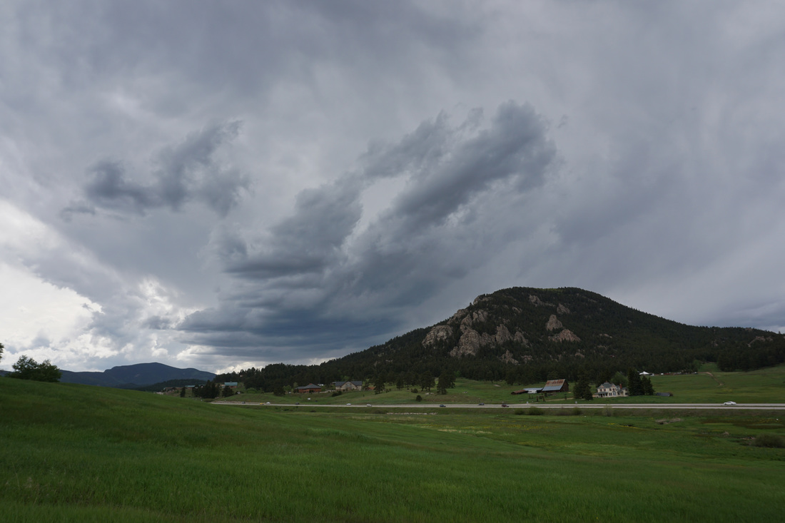
Directions:  From Denver take I70 west to C470 east (south) to 285 south.  Just before you reach the Aspen Grove shopping center look for the sign to the open space on your right.  The exit is on the right and you curve around under the highway to the Meyer Ranch Parking Lot.

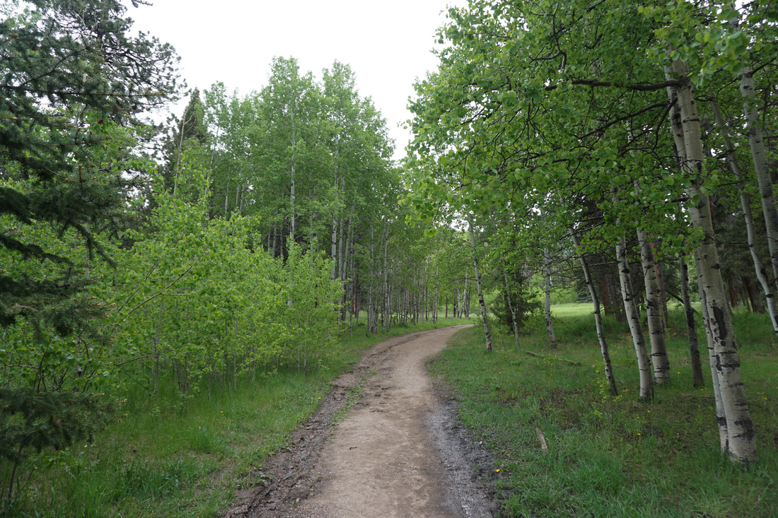
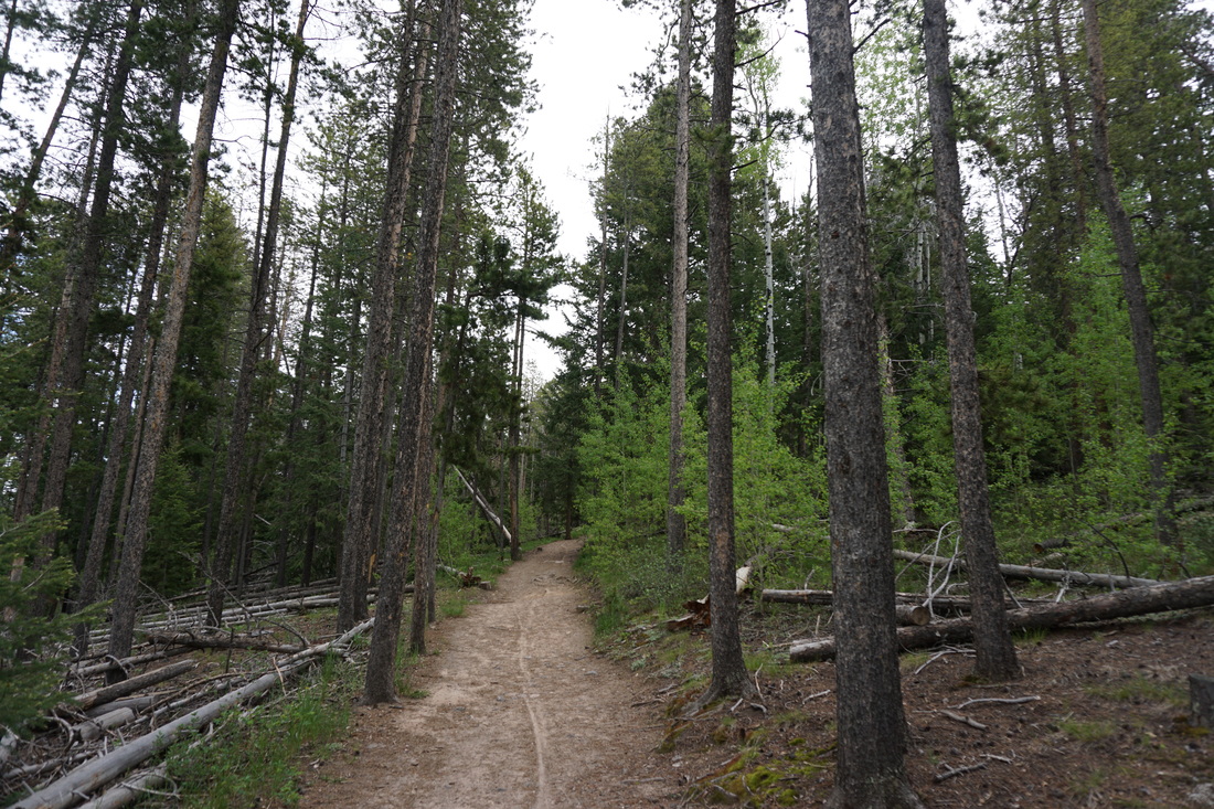
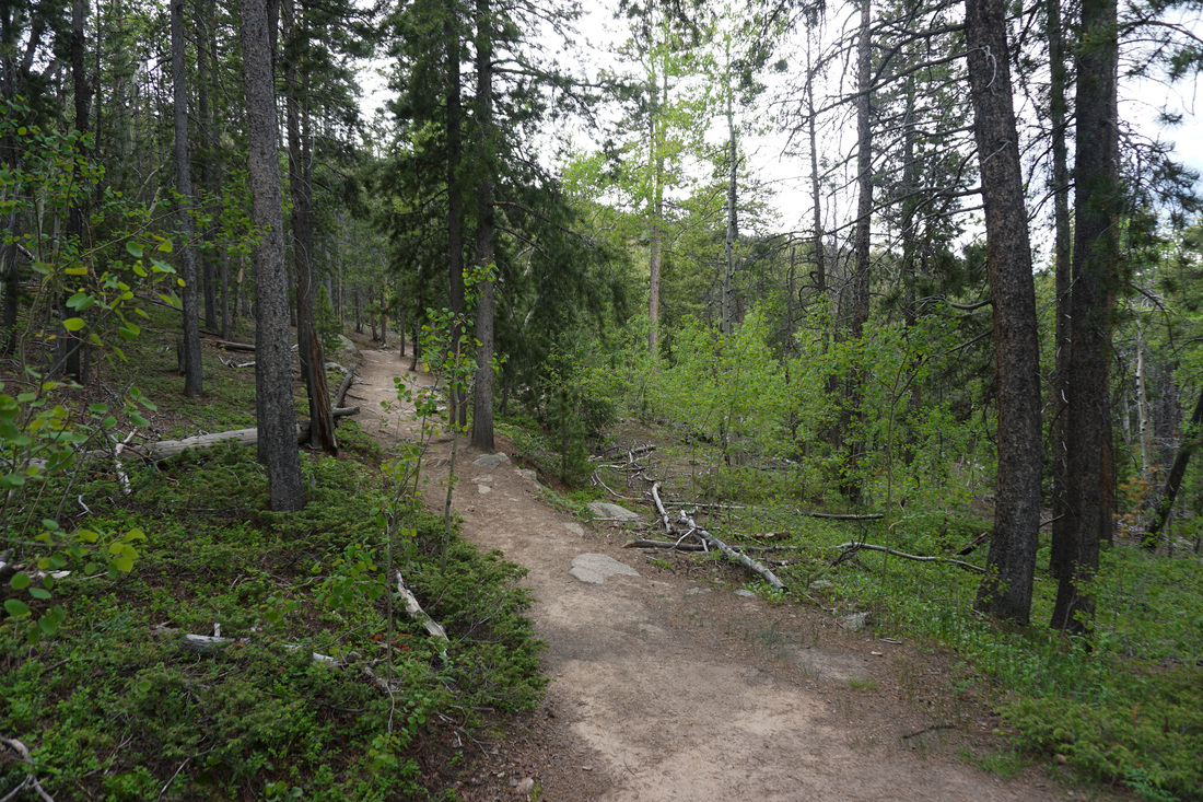
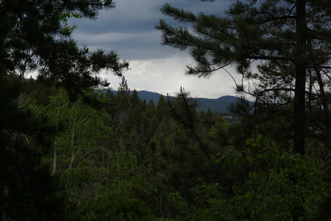
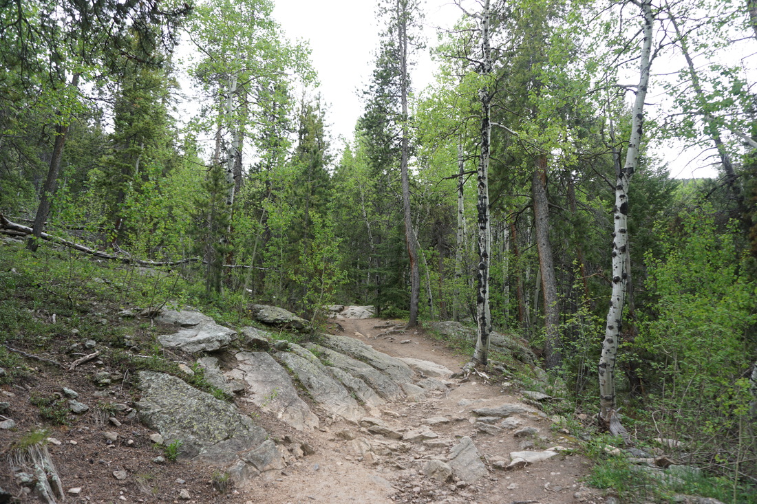
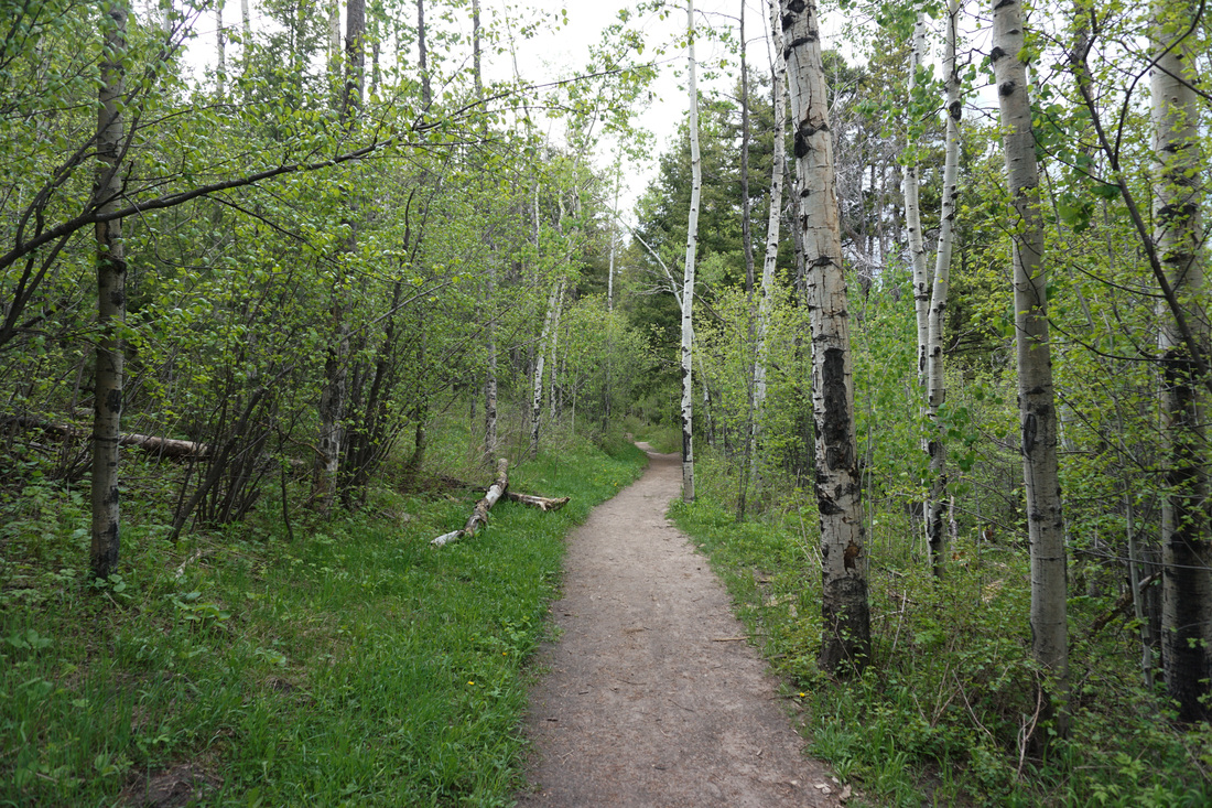
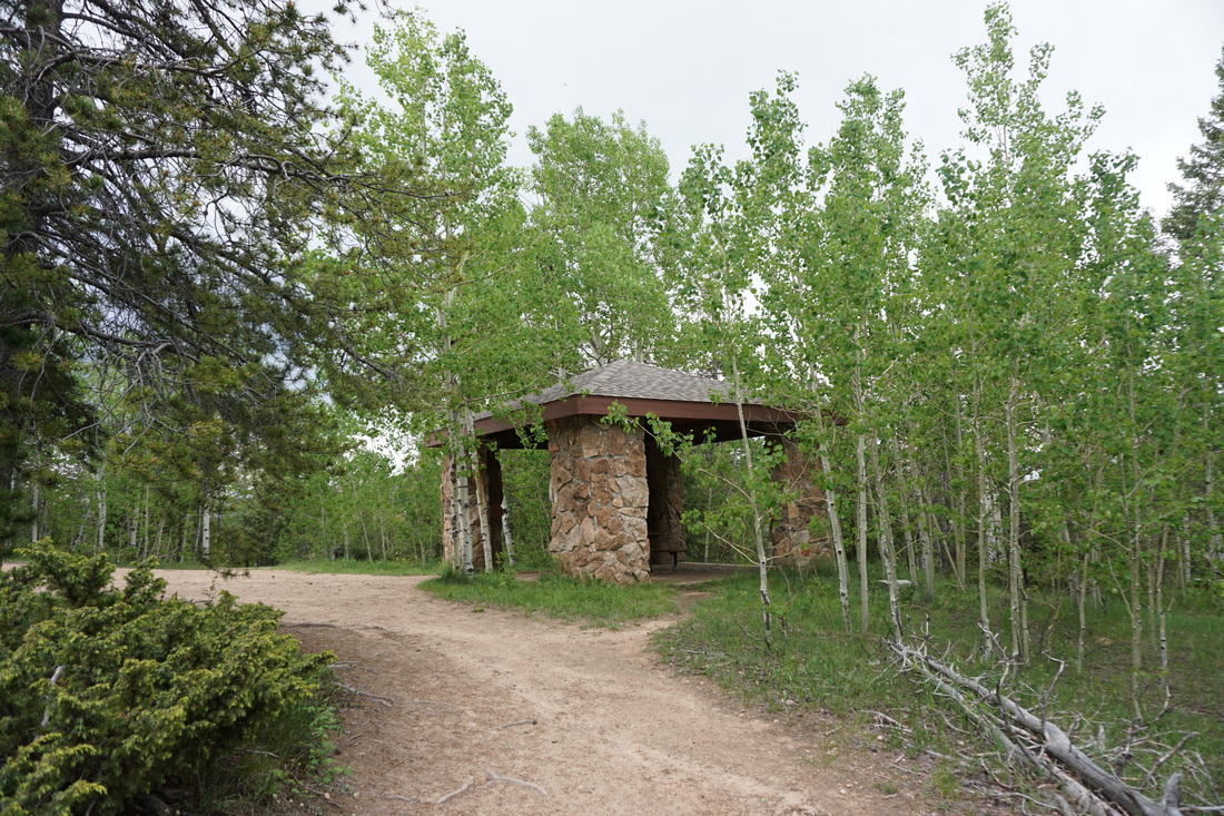
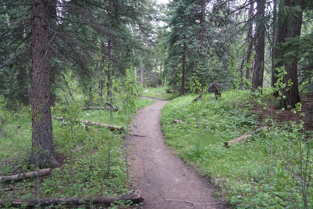
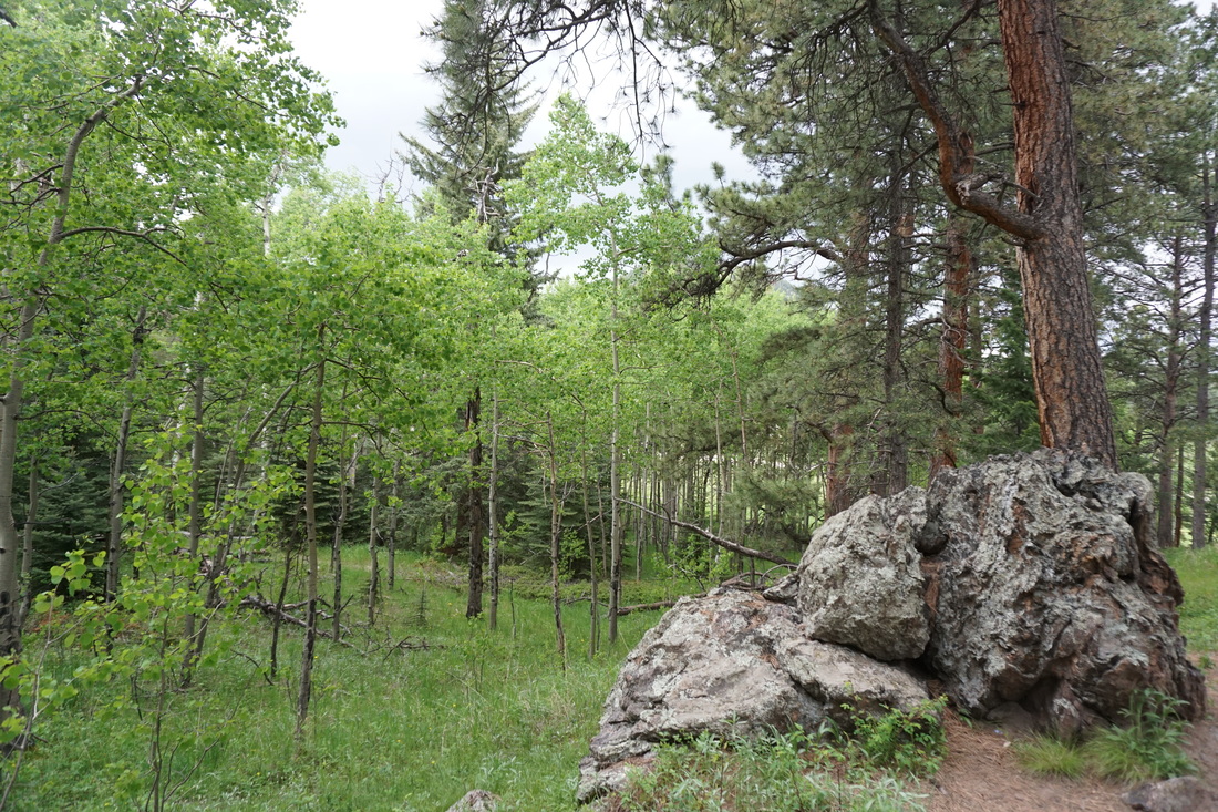
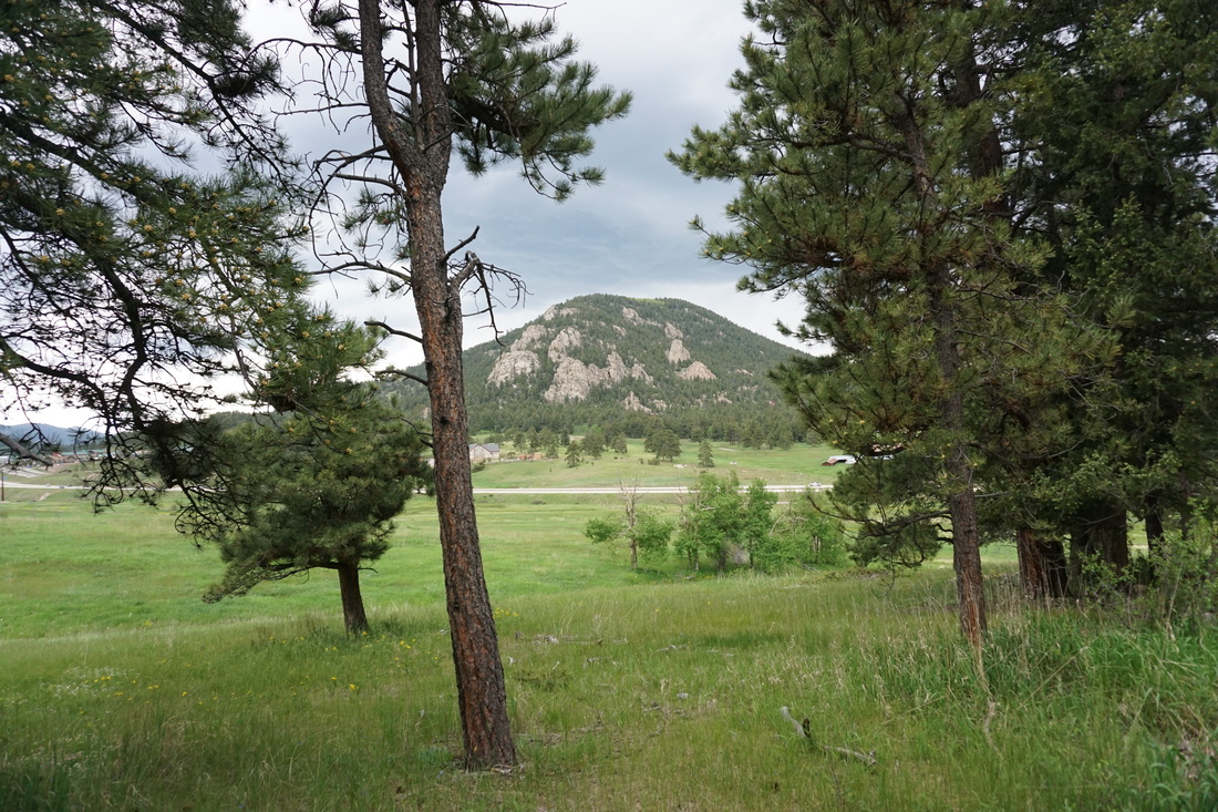
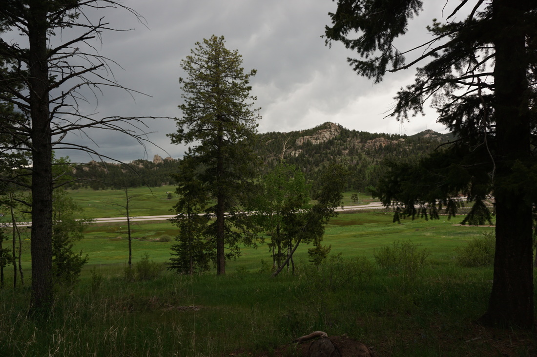
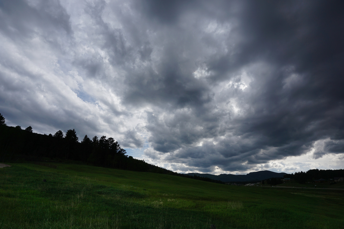
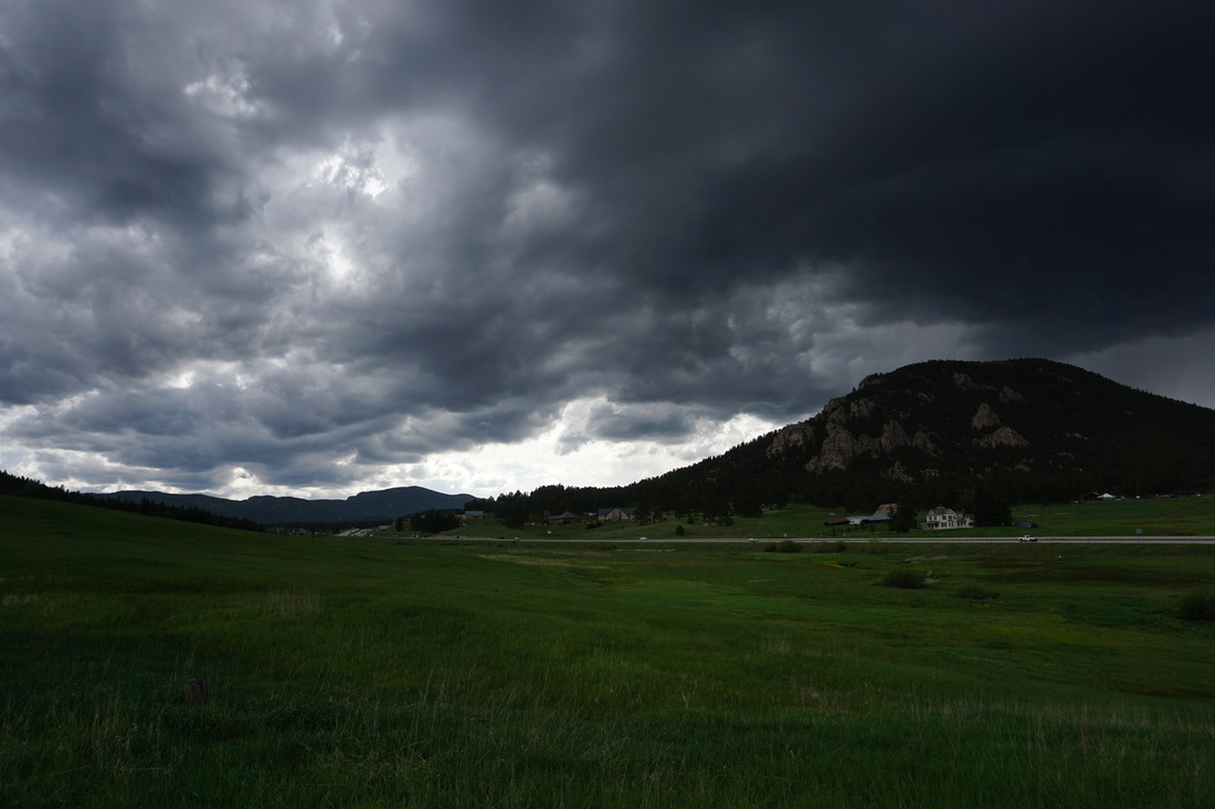
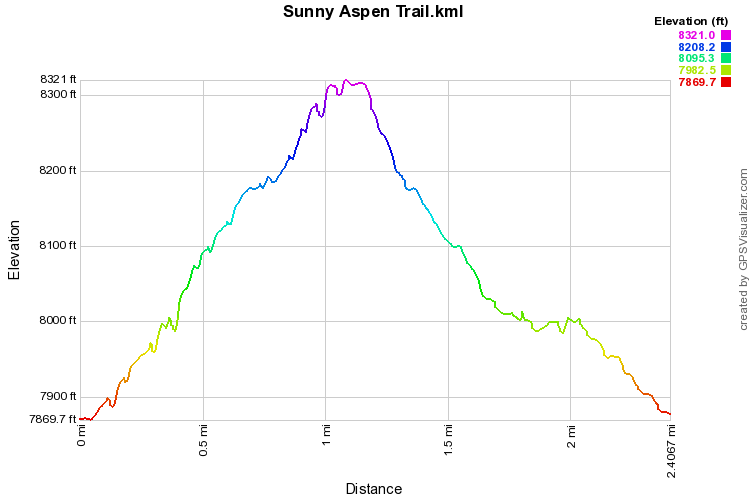
The Sunny Aspen Trail provided a quick loop, longer than the Lodgepole Loop, through aspen groves and evergreen forest.  The aspens are really taking hold in the park and visiting in the fall is highly recommended.  While the hike has few viewpoints it is a relaxing hike through the forest shade, but just tough enough to get the blood pumping.  

From the parking area start out on the main path to the trailhead kiosk and then to the restrooms at the start of the park loops.  There are three possible loops in the park; the Owl’s Perch Loop, the Lodgepole Loop, and the Sunny Aspen Trail.  Start off straight uphill from the restrooms on the Owl’s Perch Trail to the start of the Lodgepole Loop.  I prefer to hike counterclockwise so turn left at the junction.  Head uphill through aspen forests and enter the dense evergreen forest which is the backdrop for most of the hiking at Meyer Ranch.  After .2 miles, turn left onto the Sunny Aspen Trail.  The trail continues to weave through the evergreens to the Shelter .5 miles away.  

The Shelter marks the highpoint of this hike, so continue straight past the shelter and start heading back downhill again weaving through the forest.  Turn left on the Lodgepole Loop, and left again on the Owl’s Perch Loop to return to the parking area.
© Go Hike Colorado, 2020.  All Rights Reserved. 
Use of photographs without prior authorization is
​strictly prohibited.


Contact us at:
[email protected]
Legal Disclaimer - Information provided on this site is based upon our own observations, always double check information with the appropriate land management agency before heading into the backcountry.  Backcountry travel is inherently dangerous, please take all proper precautions.  Go Hike Colorado is not responsible for injury or incident.