GO HIKE COLORADO
Get in Touch:
  • HOME
  • ABOUT
  • HIKES BY REGION
    • DENVER AREA >
      • Denver Mountain Parks
      • Jefferson County Open Space
      • Lakewood Parks
      • Denver Area Greenways
    • BOULDER AREA
    • DOUGLAS COUNTY
    • FORT COLLINS AREA
    • COLORADO SPRINGS AREA
    • FRONT RANGE
    • TENMILE & MOSQUITO RANGES
    • GORE RANGE
    • SANGRE DE CRISTO MOUNTAINS
    • PARK RANGE
    • SAWATCH RANGE
    • ELK MOUNTAINS
    • SAN JUAN MOUNTAINS
    • THE FLAT TOPS
    • GRAND MESA
    • COLORADO PLATEAU
    • EASTERN PLAINS
  • NATIONAL PARK HIKES
    • BENT'S OLD FORT NATIONAL HISTORIC SITE
    • BLACK CANYON OF THE GUNNISON NATIONAL PARK
    • COLORADO NATIONAL MONUMENT
    • CURECANTI NATIONAL RECREATION AREA
    • DINOSAUR NATIONAL MONUMENT
    • FLORISSANT FOSSIL BEDS NATIONAL MONUMENT
    • MESA VERDE NATIONAL PARK
    • ROCKY MOUNTAIN NATIONAL PARK
    • GREAT SAND DUNES NATIONAL PARK
    • HOVENWEEP NATIONAL MONUMENT
    • SAND CREEK MASSACRE NATIONAL HISTORIC SITE
    • YUCCA HOUSE NATIONAL MONUMENT
  • HIKES BY CATEGORY
    • HIKES TO ALPINE LAKES
    • HIKES TO PEAKS & PASSES
    • HIKES THROUGH CANYONS
    • HIKES WITH FALL COLORS
    • HIKES ALONG THE I-70 CORRIDOR
    • HIKES ON PAVED TRAILS
    • HIKES FOR KIDS
    • HIKES TO WATERFALLS
    • HIKES ALONG RIVERS
    • HIKES WITH ROCK FORMATIONS
    • HIKES WITH WILDFLOWERS
    • WINTER HIKES
  • NEWS
  • WEBCAMS
  • $UPPORT GHC
  • INTERACTIVE MAP

Shadow Pine Loop
Flying J Ranch Park

Date Hiked: August 5, 2012


  • Distance: 4 mi (RT)
  • Elevation Gain: 350 ft
  • Elevation Min/Max: 7,524 to 8,729ft
  • Managing Agency: Jefferson County Open Space
  • Fee: None

Flying J Ranch Park Website
Picture

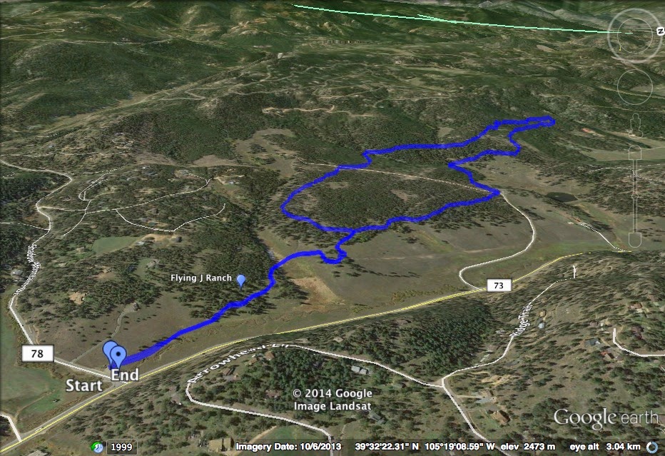
Directions:  From Denver, take I-70  west to C470 west to 285 South to Conifer.  Head North on 73 and the park will be on your left. 

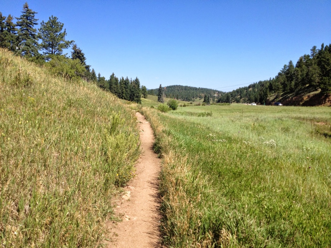
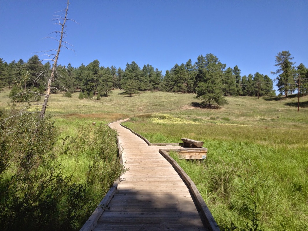
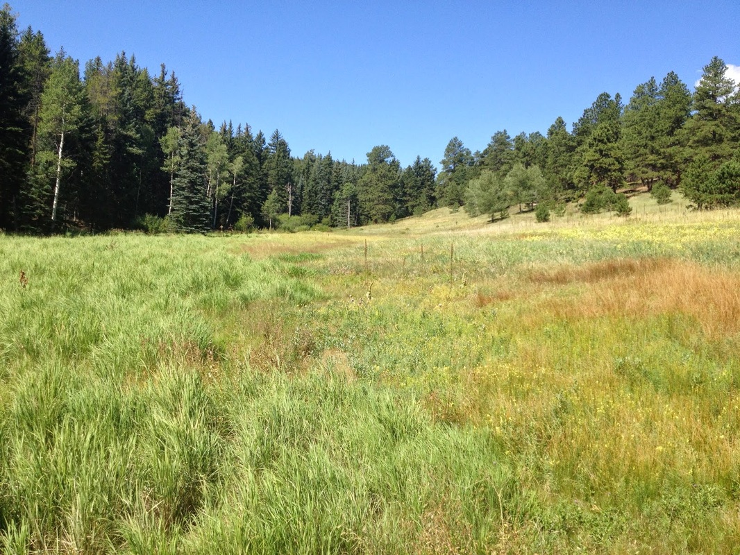
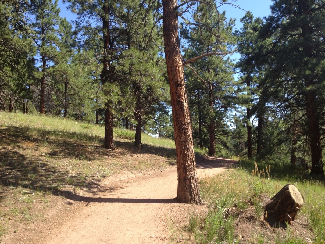
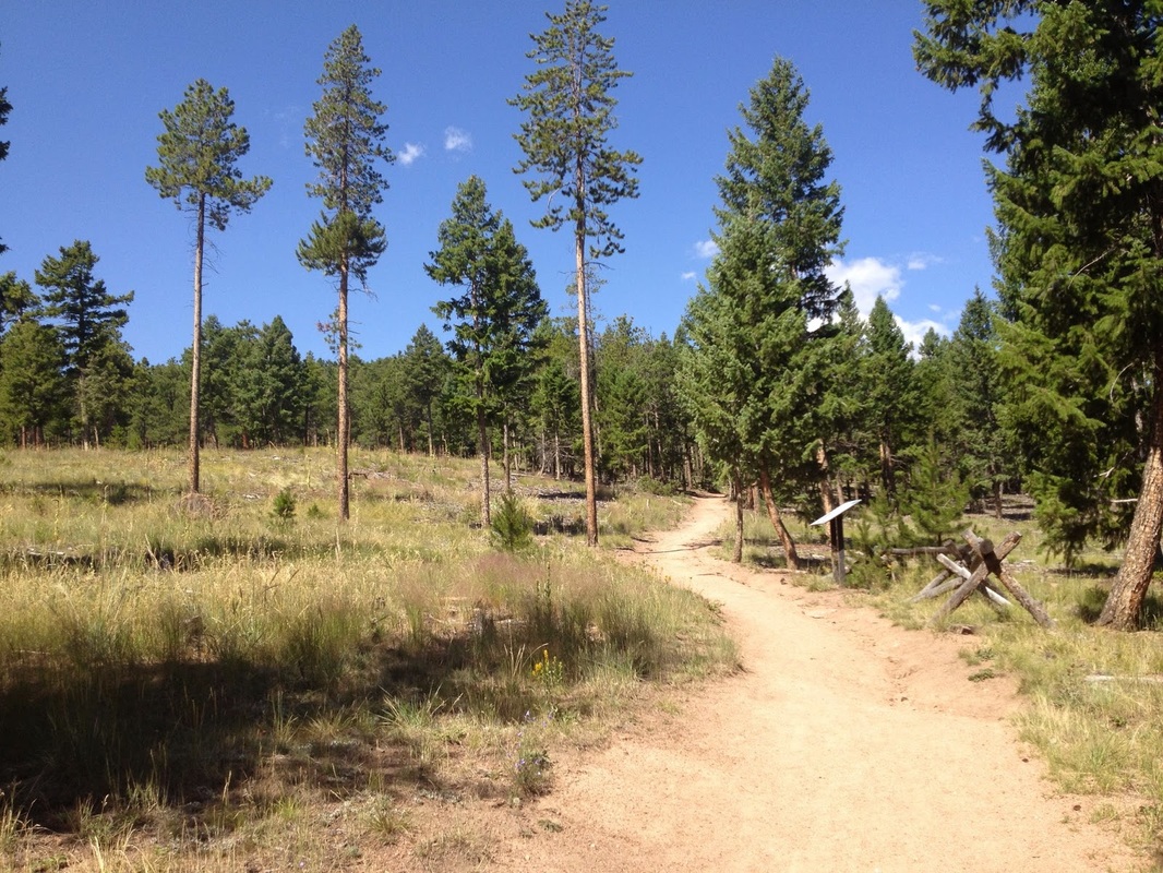
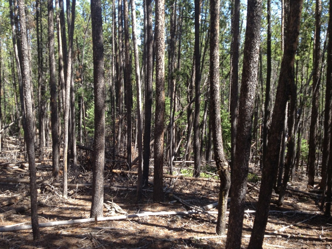
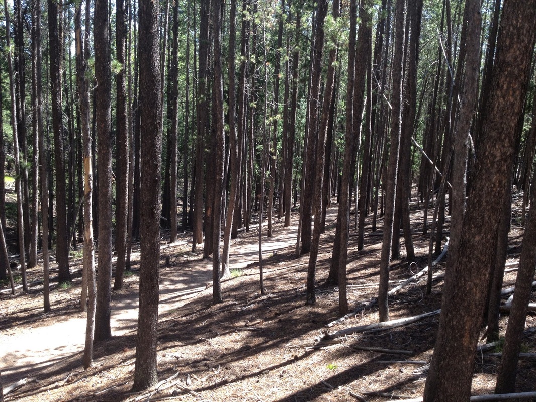
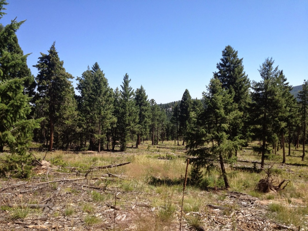
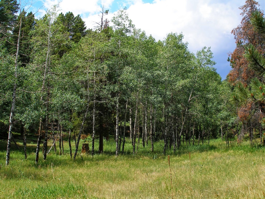
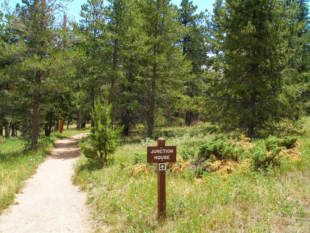
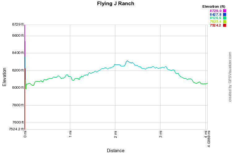
Flying J Ranch is a great, quiet hiking location in between Conifer and Morrison.  The trail is a simple loop but it is deceiving, you gain 1,200 feet of elevation during the 4 mile hike making it more than just a leisurely stroll through the woods.  The trail weaves in and out of thick pine forest and open grassy meadows.

There are 2 access points for this trail, the main parking lot and the lot off of 73.  I suggest the 73 lot as it adds a bit more to the hike and the meadow that you start off on is simply stunning.  Start on the Junction House Trail and follow this for .6 miles through meadows and across boardwalks until you enter the forest and reach the Shadow Pine Loop.  I suggest doing the loop counterclockwise as you will gain elevation first while you still have most of your energy.  The trail is mostly through dense forest but every now and then you get a pleasant aspen grove or a viewpoint of the surrounding foothills.  All in all, this is a great hike and one that not many people know about.  Beat the summer heat in the forest while you are beating the summer crowds as well.
Powered by Create your own unique website with customizable templates.