GO HIKE COLORADO
Get in Touch:
  • HOME
  • ABOUT
  • HIKES BY REGION
    • DENVER AREA >
      • Denver Mountain Parks
      • Jefferson County Open Space
      • Lakewood Parks
      • Denver Area Greenways
    • BOULDER AREA
    • DOUGLAS COUNTY
    • FORT COLLINS AREA
    • COLORADO SPRINGS AREA
    • FRONT RANGE
    • TENMILE & MOSQUITO RANGES
    • GORE RANGE
    • SANGRE DE CRISTO MOUNTAINS
    • PARK RANGE
    • SAWATCH RANGE
    • ELK MOUNTAINS
    • SAN JUAN MOUNTAINS
    • THE FLAT TOPS
    • GRAND MESA
    • COLORADO PLATEAU
    • EASTERN PLAINS
  • NATIONAL PARK HIKES
    • BENT'S OLD FORT NATIONAL HISTORIC SITE
    • BLACK CANYON OF THE GUNNISON NATIONAL PARK
    • COLORADO NATIONAL MONUMENT
    • CURECANTI NATIONAL RECREATION AREA
    • DINOSAUR NATIONAL MONUMENT
    • FLORISSANT FOSSIL BEDS NATIONAL MONUMENT
    • MESA VERDE NATIONAL PARK
    • ROCKY MOUNTAIN NATIONAL PARK
    • GREAT SAND DUNES NATIONAL PARK
    • HOVENWEEP NATIONAL MONUMENT
    • SAND CREEK MASSACRE NATIONAL HISTORIC SITE
    • YUCCA HOUSE NATIONAL MONUMENT
  • HIKES BY CATEGORY
    • HIKES TO ALPINE LAKES
    • HIKES TO PEAKS & PASSES
    • HIKES THROUGH CANYONS
    • HIKES WITH FALL COLORS
    • HIKES ALONG THE I-70 CORRIDOR
    • HIKES ON PAVED TRAILS
    • HIKES FOR KIDS
    • HIKES TO WATERFALLS
    • HIKES ALONG RIVERS
    • HIKES WITH ROCK FORMATIONS
    • HIKES WITH WILDFLOWERS
    • WINTER HIKES
  • NEWS
  • WEBCAMS
  • $UPPORT GHC
  • INTERACTIVE MAP

Golden Hills Road Trailhead
South Table Mountain Park

Date Hiked: August 17, 2012

Distance: 1.3 mi (RT)
Elevation Gain: 200ft
Elevation Max: 6,148ft
Managing Agency: Jefferson County Open Space
Fee: None

South Table Mountain Park Website
Picture

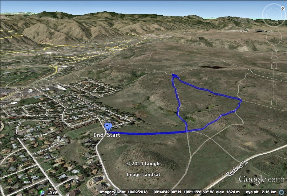
Directions:  From Denver take I-70 west to the Denver West/CO Mills exit and turn right, towards S. Table Mountain.  Make a left (west) on Denver West Parkway which becomes Golden Hills Road after Quaker Street.  The trailhead and small parking area will be on your right.

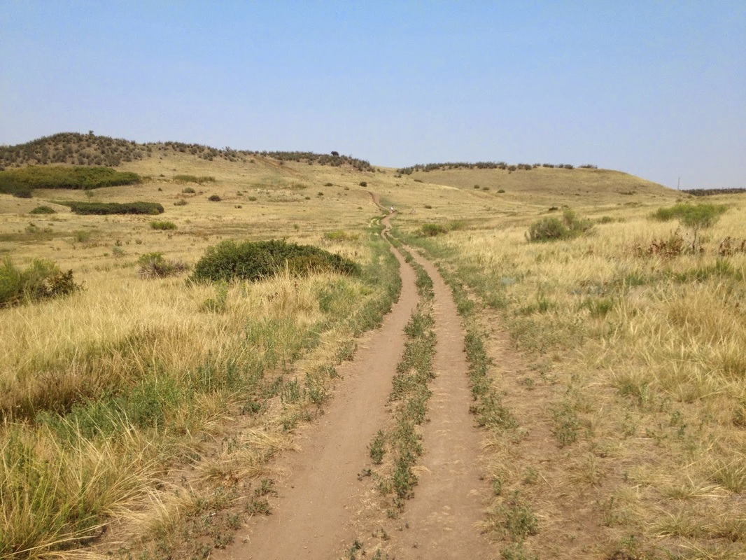
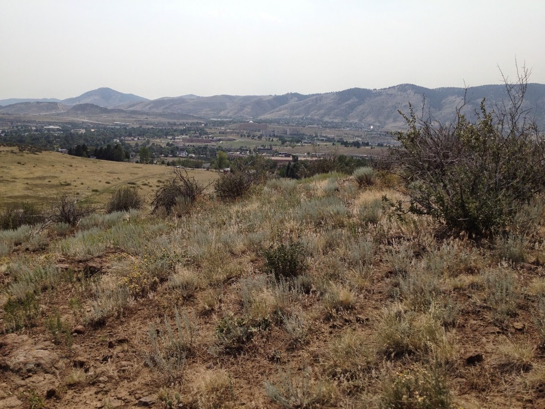
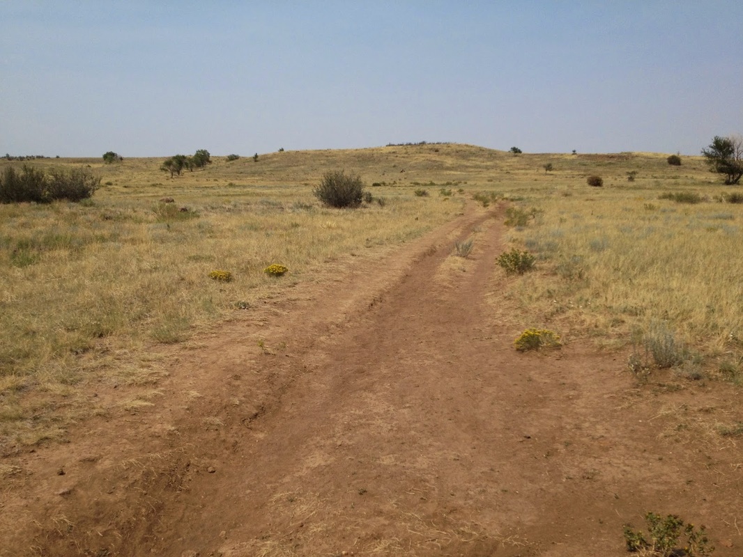
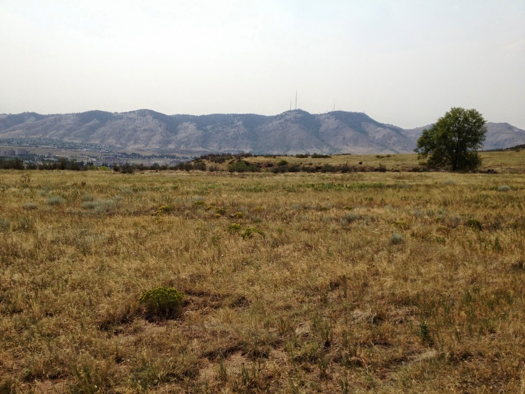
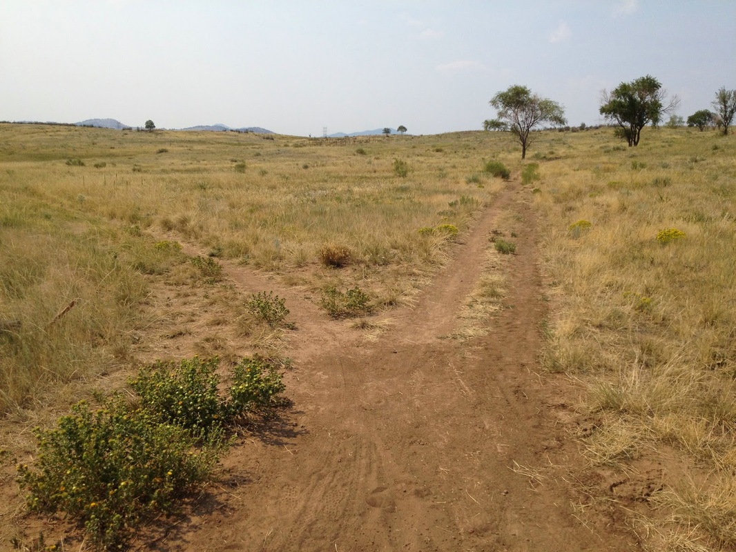
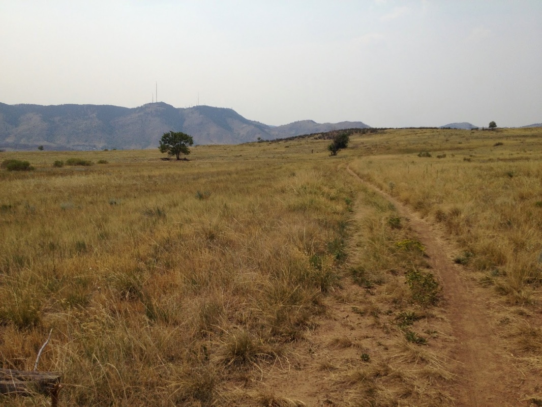
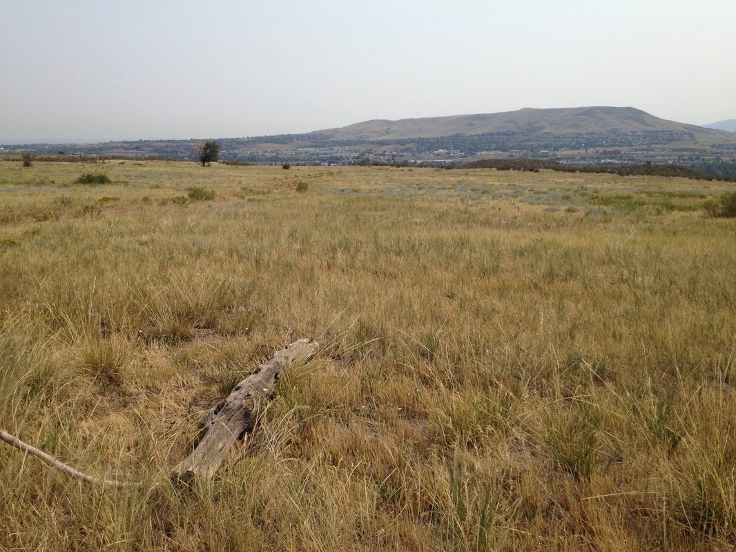
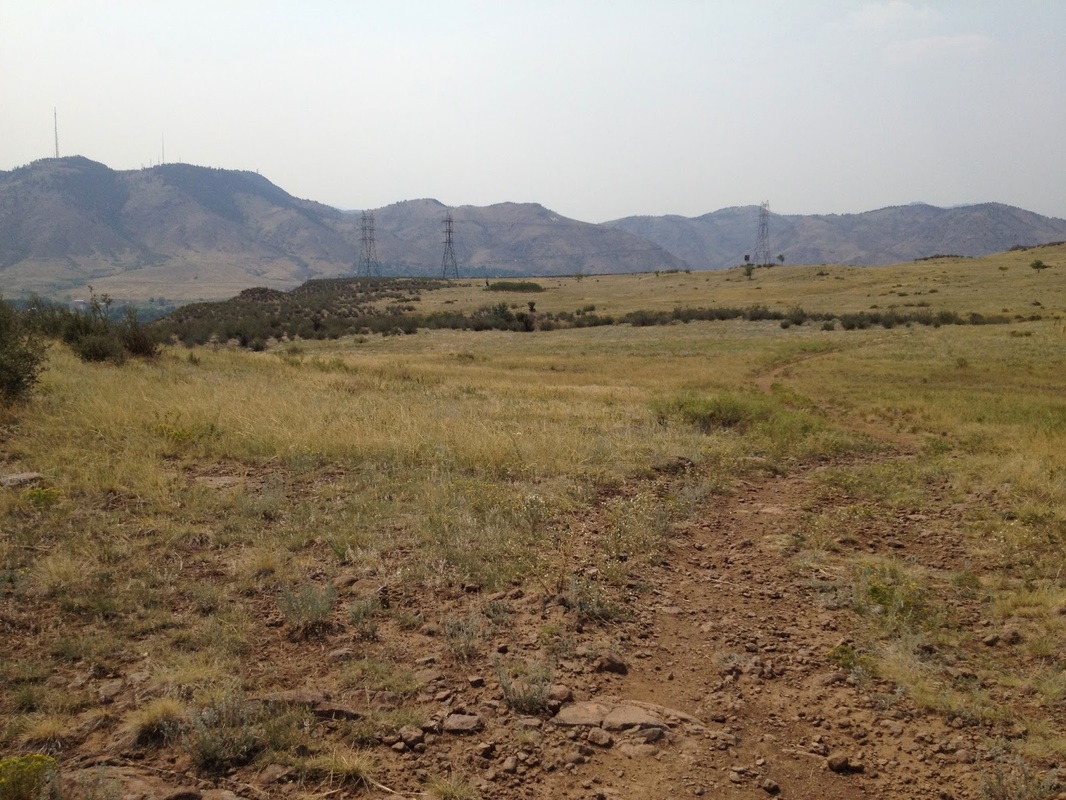
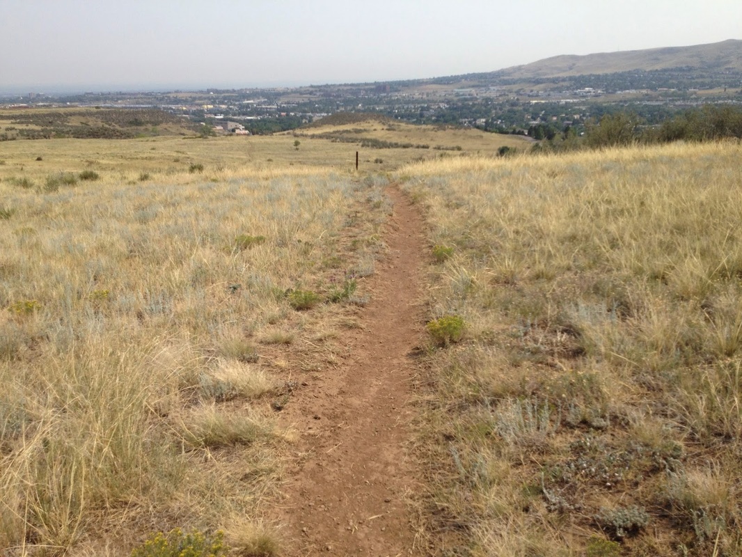
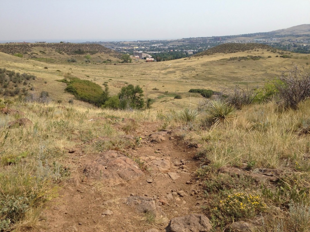
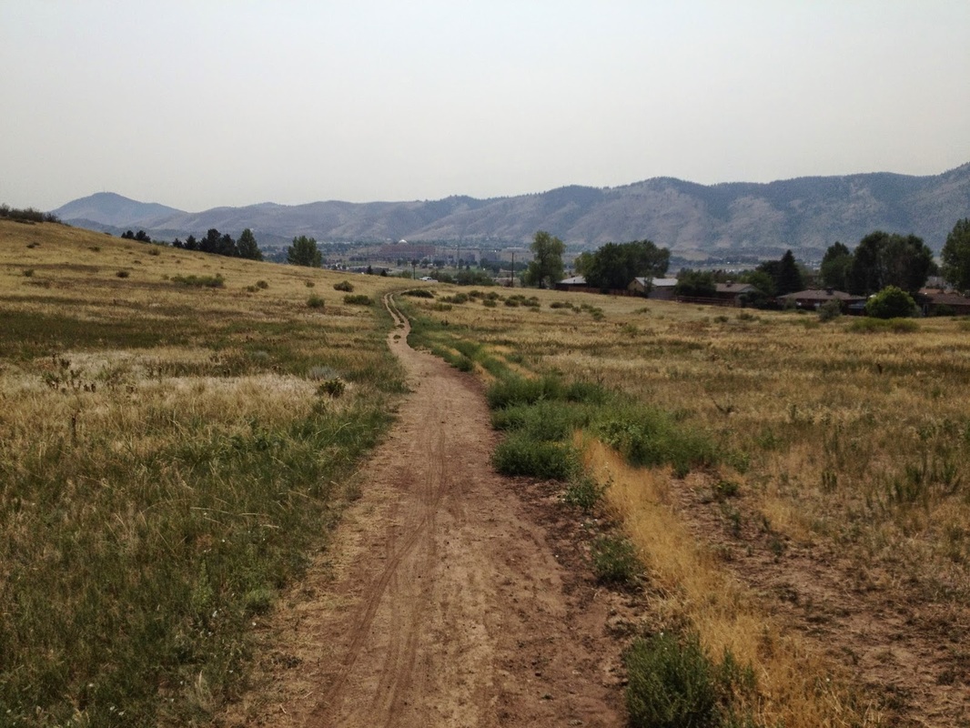
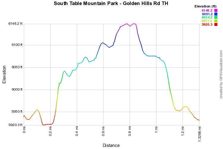
If you are looking for a quick and easy loop in an open space close to Denver, then this may be just the hike for you.  The Loop explores the central portion of S. Table Mountain with just minimal elevation gain.  From the trailhead head straight towards the cliffs.  The trail will get steep just for a few minutes as it climbs up to the mesa top.  Once on top you'll intersect with a larger trail.  Turn left and follow this trail to the west with great views of Mt. Morrison and the foothills.  Before too long, you'll see a trail branch off to the left, take this trail towards Green Mountain.  This trail will break through the cliffs and head back down to the parking area.  All in all this is a quick way to explore S. Table Mountain and there are many options for longer hikes on the mesa.  Once you're on the mesa it's difficult to remember that you are only about 15 min west of the city, it truly feels like wide open spaces...
Powered by Create your own unique website with customizable templates.