GO HIKE COLORADO
Get in Touch:
  • HOME
  • ABOUT
  • HIKES BY REGION
    • DENVER AREA >
      • Denver Mountain Parks
      • Jefferson County Open Space
      • Lakewood Parks
      • Denver Area Greenways
    • BOULDER AREA
    • DOUGLAS COUNTY
    • FORT COLLINS AREA
    • COLORADO SPRINGS AREA
    • FRONT RANGE
    • TENMILE & MOSQUITO RANGES
    • GORE RANGE
    • SANGRE DE CRISTO MOUNTAINS
    • PARK RANGE
    • SAWATCH RANGE
    • ELK MOUNTAINS
    • SAN JUAN MOUNTAINS
    • THE FLAT TOPS
    • GRAND MESA
    • COLORADO PLATEAU
    • EASTERN PLAINS
  • NATIONAL PARK HIKES
    • BENT'S OLD FORT NATIONAL HISTORIC SITE
    • BLACK CANYON OF THE GUNNISON NATIONAL PARK
    • COLORADO NATIONAL MONUMENT
    • CURECANTI NATIONAL RECREATION AREA
    • DINOSAUR NATIONAL MONUMENT
    • FLORISSANT FOSSIL BEDS NATIONAL MONUMENT
    • MESA VERDE NATIONAL PARK
    • ROCKY MOUNTAIN NATIONAL PARK
    • GREAT SAND DUNES NATIONAL PARK
    • HOVENWEEP NATIONAL MONUMENT
    • SAND CREEK MASSACRE NATIONAL HISTORIC SITE
    • YUCCA HOUSE NATIONAL MONUMENT
  • HIKES BY CATEGORY
    • HIKES TO ALPINE LAKES
    • HIKES TO PEAKS & PASSES
    • HIKES THROUGH CANYONS
    • HIKES WITH FALL COLORS
    • HIKES ALONG THE I-70 CORRIDOR
    • HIKES ON PAVED TRAILS
    • HIKES FOR KIDS
    • HIKES TO WATERFALLS
    • HIKES ALONG RIVERS
    • HIKES WITH ROCK FORMATIONS
    • HIKES WITH WILDFLOWERS
    • WINTER HIKES
  • NEWS
  • WEBCAMS
  • $UPPORT GHC
  • INTERACTIVE MAP

Van Bibber Park

Date Hiked: October 27, 2012

Distance: 2.8 mi (RT)

  • Elevation Gain: 200ft
  • Top Elevation: 5,607ft
  • Managing Agency: Jefferson County Open Space
  • Fee: None

Van Bibber Park Website
Picture

Directions: The main trailhead is located at 5575 Ward Road, in Arvada.  From Denver take I-70 west to Ward Road and head south on Ward.  The trailhead and parking area will be on your right.

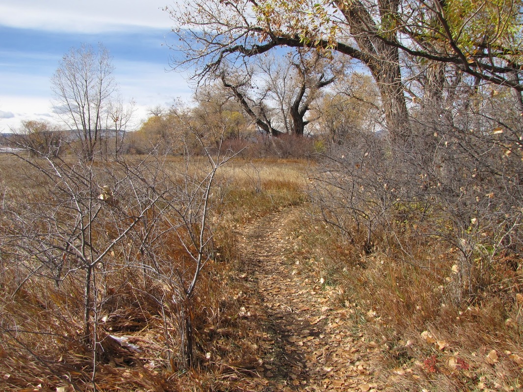
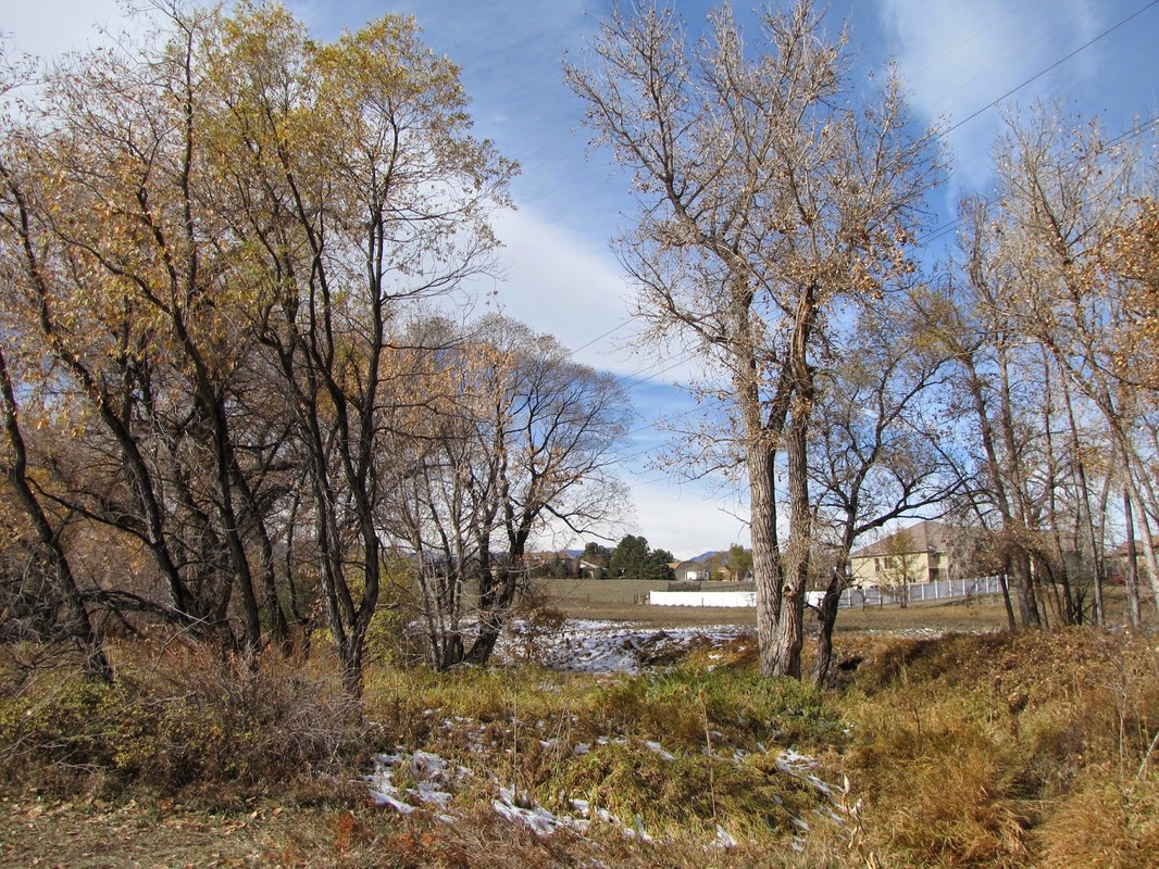
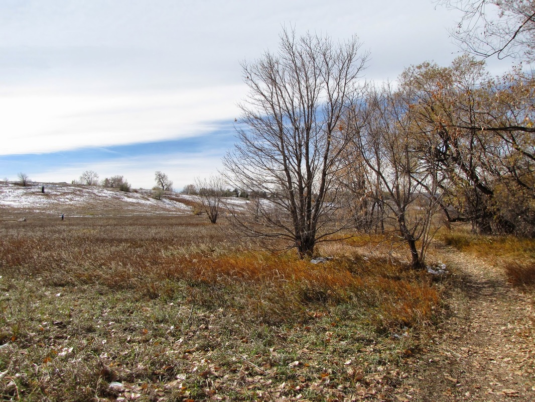
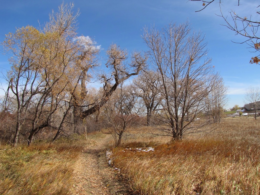
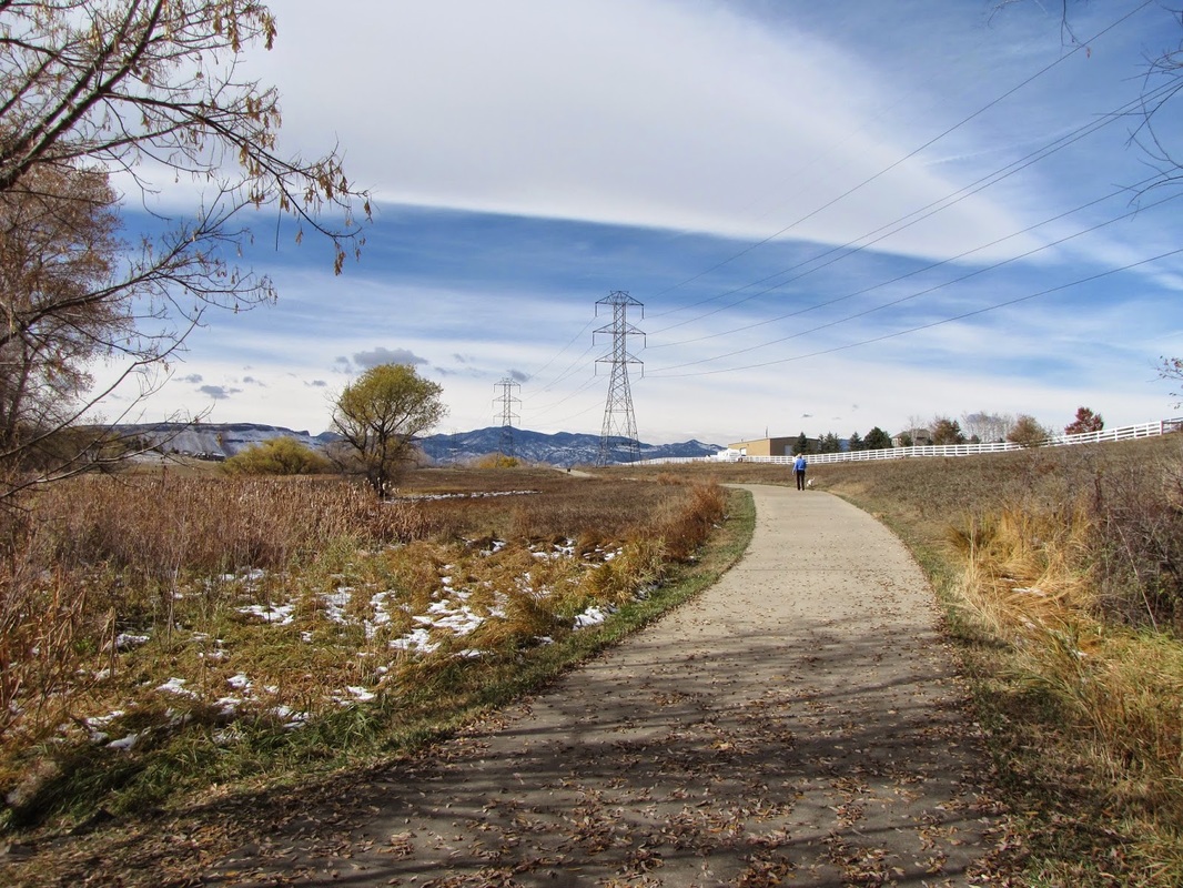
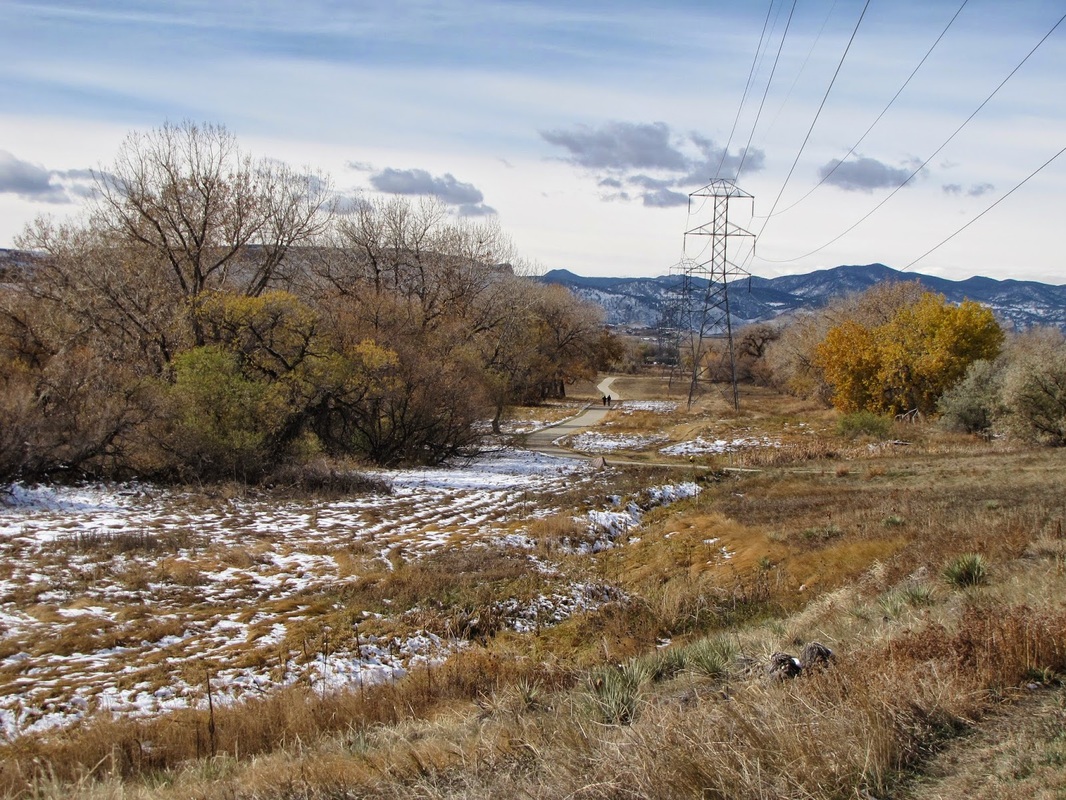
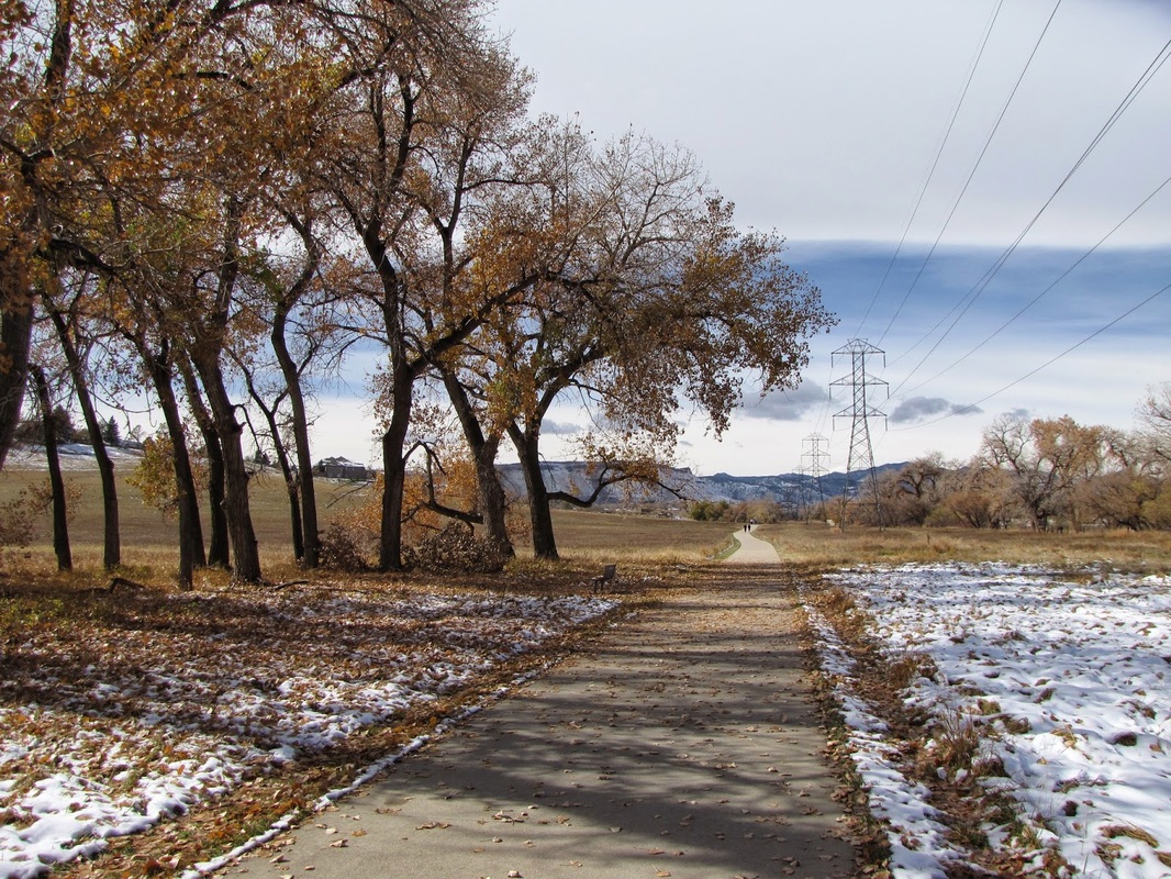
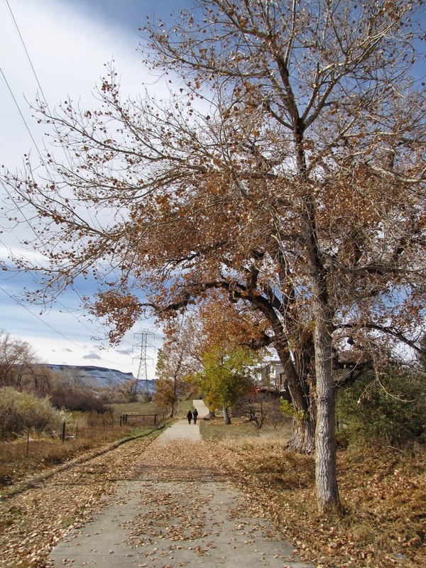
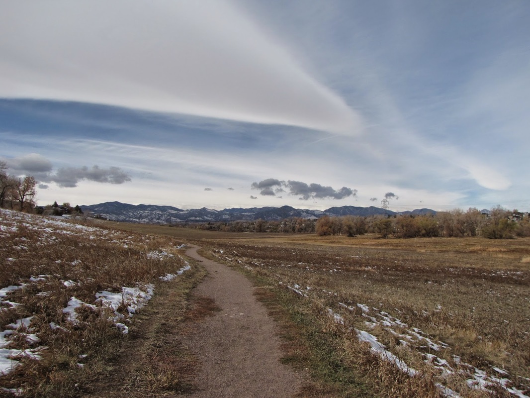
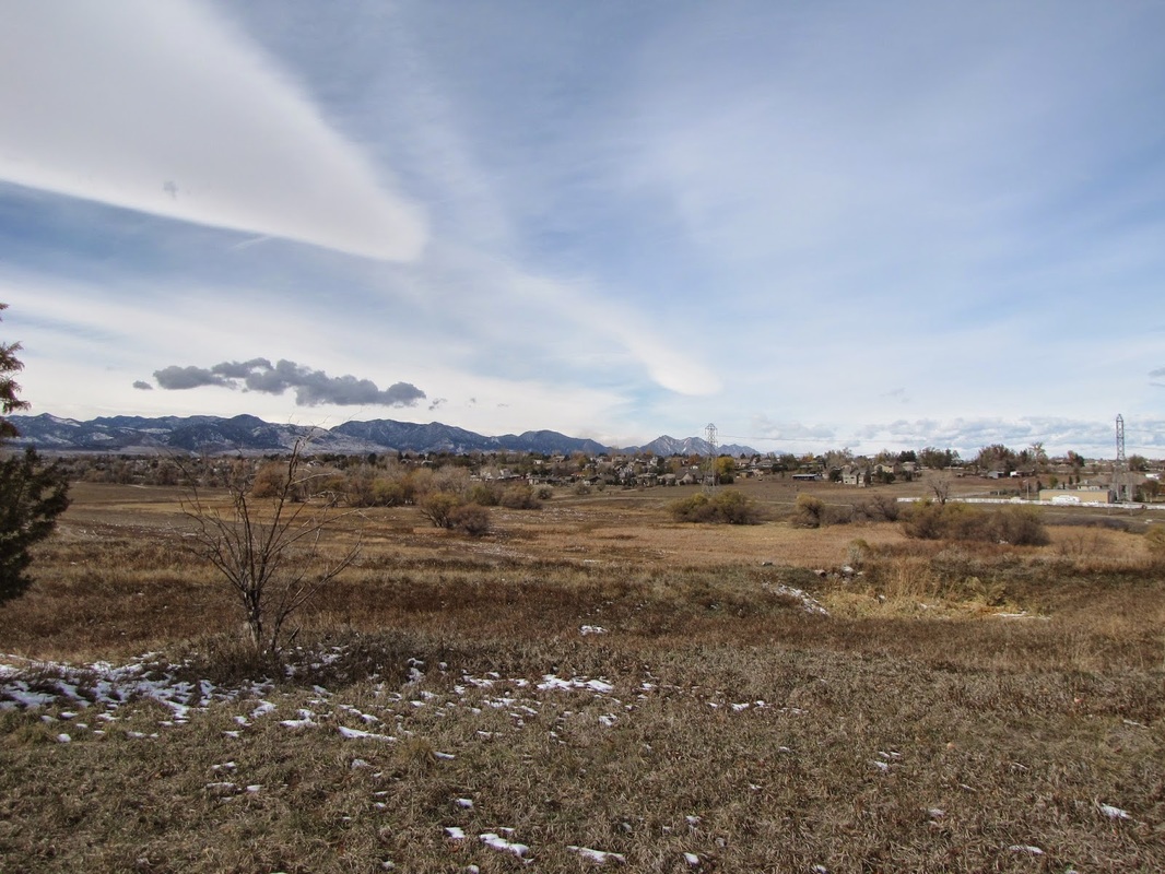
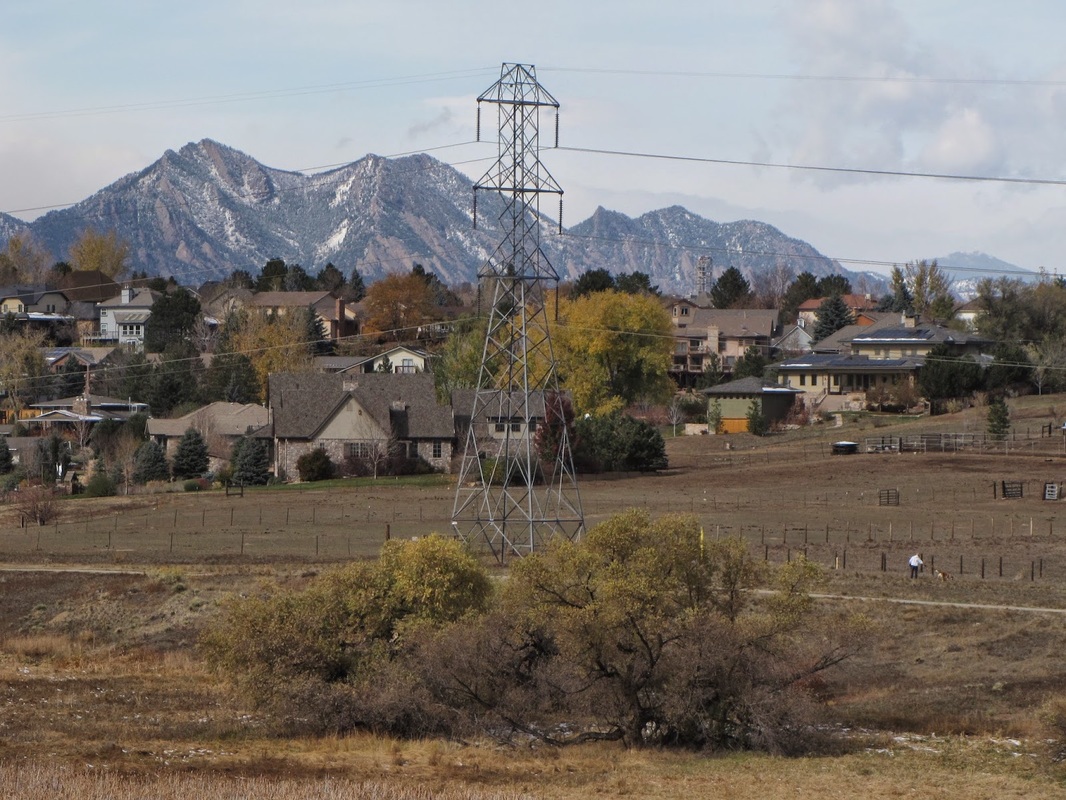
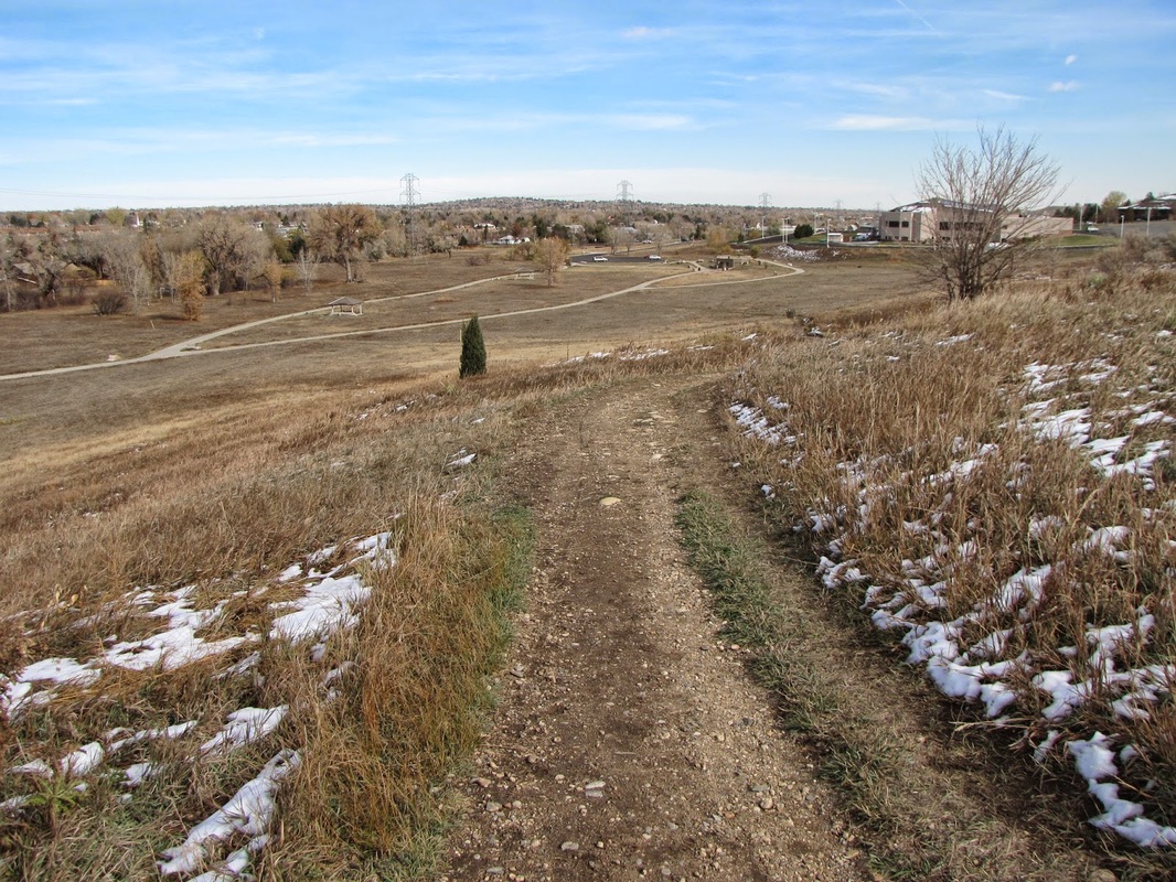
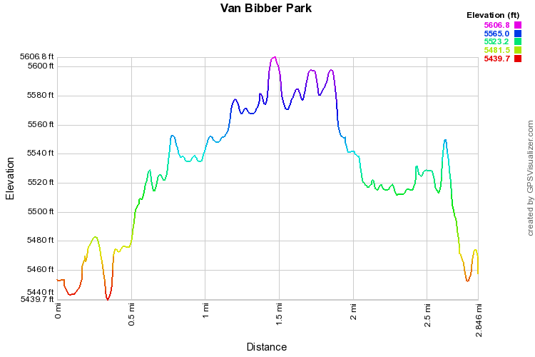
Van Bibber Park is a nice little open space nestled in between Ward Road and Indiana Street in Arvada.  The park is basically a greenbelt following the paved Van Bibber Creek Trail and the creek.  There are however, a few off-shoot dirt trails.  First of all, when starting the hike, take the dirt path to the left of the parking lot, this will take you through a nice cottonwood grove and connect to the paved trail.  Secondly, the Jimmy Go Trail, leads to the wetlands area with ponds and an observation deck.  Finally, the equestrian trail skirts up-hill and loops around to join the paved trail.  Making a loop with these trails gets you about 3 miles of pleasant easy hiking with good views of the Front Range Foothills and very close to home.
© Go Hike Colorado, 2020.  All Rights Reserved. 
Use of photographs without prior authorization is
​strictly prohibited.


Contact us at:
steve@gohikecolorado.com
Legal Disclaimer - Information provided on this site is based upon our own observations, always double check information with the appropriate land management agency before heading into the backcountry.  Backcountry travel is inherently dangerous, please take all proper precautions.  Go Hike Colorado is not responsible for injury or incident.