GO HIKE COLORADO
Get in Touch:
  • HOME
  • ABOUT
  • HIKES BY REGION
    • DENVER AREA >
      • Denver Mountain Parks
      • Jefferson County Open Space
      • Lakewood Parks
      • Denver Area Greenways
    • BOULDER AREA
    • DOUGLAS COUNTY
    • FORT COLLINS AREA
    • COLORADO SPRINGS AREA
    • FRONT RANGE
    • TENMILE & MOSQUITO RANGES
    • GORE RANGE
    • SANGRE DE CRISTO MOUNTAINS
    • PARK RANGE
    • SAWATCH RANGE
    • ELK MOUNTAINS
    • SAN JUAN MOUNTAINS
    • THE FLAT TOPS
    • GRAND MESA
    • COLORADO PLATEAU
    • EASTERN PLAINS
  • NATIONAL PARK HIKES
    • BENT'S OLD FORT NATIONAL HISTORIC SITE
    • BLACK CANYON OF THE GUNNISON NATIONAL PARK
    • COLORADO NATIONAL MONUMENT
    • CURECANTI NATIONAL RECREATION AREA
    • DINOSAUR NATIONAL MONUMENT
    • FLORISSANT FOSSIL BEDS NATIONAL MONUMENT
    • MESA VERDE NATIONAL PARK
    • ROCKY MOUNTAIN NATIONAL PARK
    • GREAT SAND DUNES NATIONAL PARK
    • HOVENWEEP NATIONAL MONUMENT
    • SAND CREEK MASSACRE NATIONAL HISTORIC SITE
    • YUCCA HOUSE NATIONAL MONUMENT
  • HIKES BY CATEGORY
    • HIKES TO ALPINE LAKES
    • HIKES TO PEAKS & PASSES
    • HIKES THROUGH CANYONS
    • HIKES WITH FALL COLORS
    • HIKES ALONG THE I-70 CORRIDOR
    • HIKES ON PAVED TRAILS
    • HIKES FOR KIDS
    • HIKES TO WATERFALLS
    • HIKES ALONG RIVERS
    • HIKES WITH ROCK FORMATIONS
    • HIKES WITH WILDFLOWERS
    • WINTER HIKES
  • NEWS
  • WEBCAMS
  • $UPPORT GHC
  • INTERACTIVE MAP

Red Mesa & Golden Eagle Trails
Deer Creek Canyon Park

Date Hiked: October 1, 2013

​Distance:  9.3 miles (Round Trip)
Elevation Gain:  2,023 ft
Elevation Min/Max: 6,092 to 7,482ft
Managing Agency: Jefferson County Open Space
Fee: None

Deer Creek Canyon Park Website
Picture

Directions:  From Denver take I-70 west to C470 east and exit at Deer Creek Canyon Road.  Take Deer Creek Canyon Road past the South Valley Park Trailhead and make a left at the park sign, onto Grizzly Drive and into the main parking area.

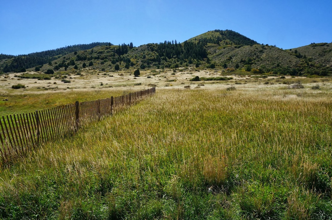
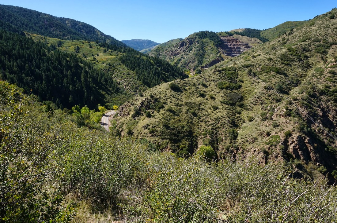
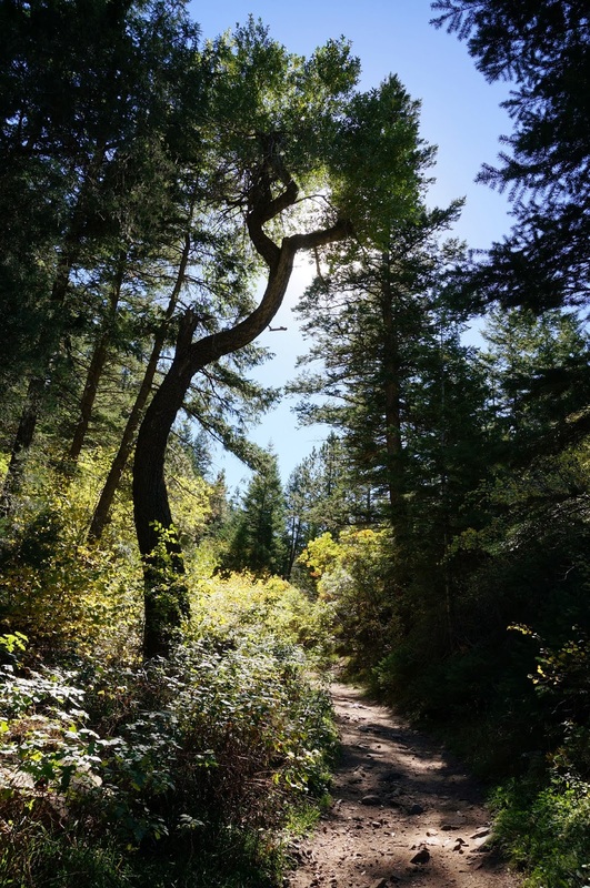
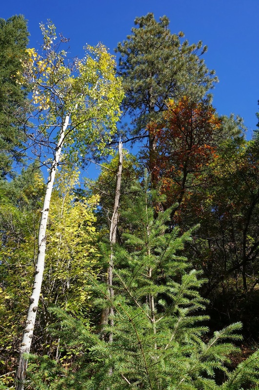
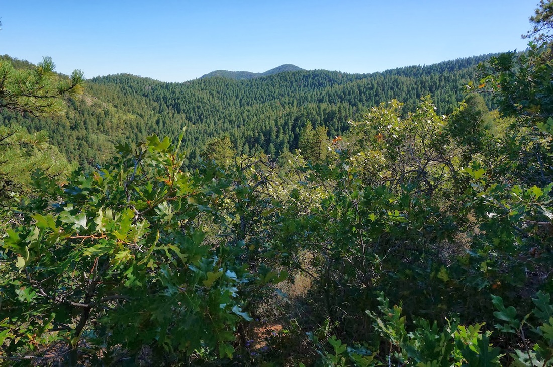
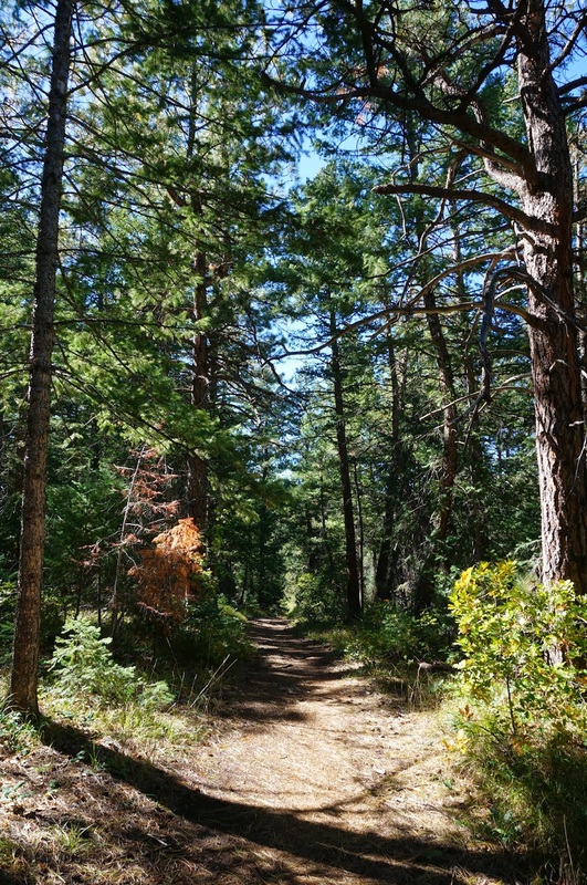
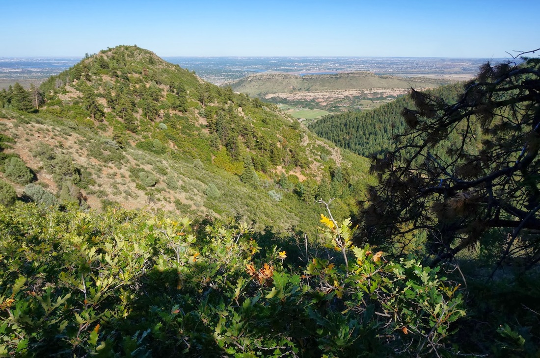
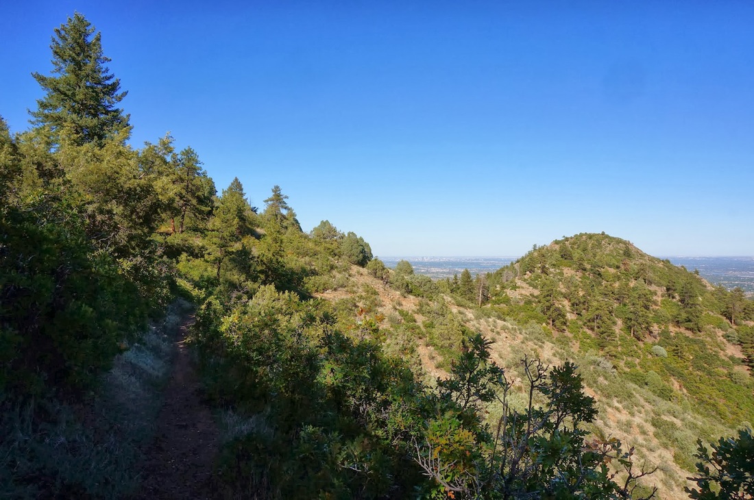
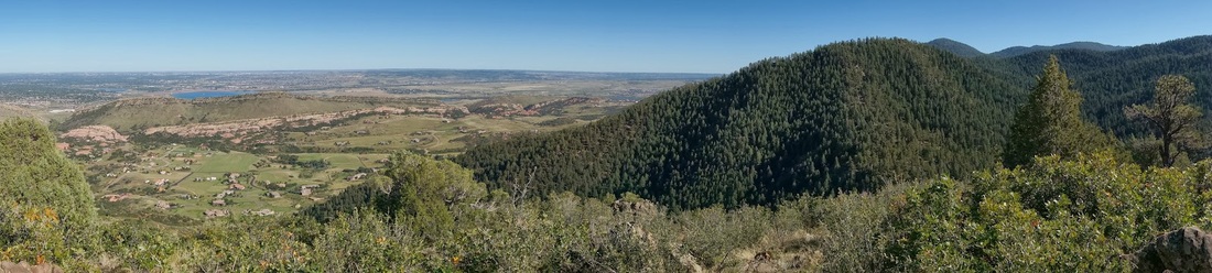
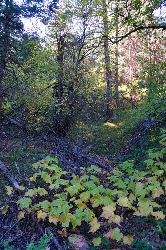
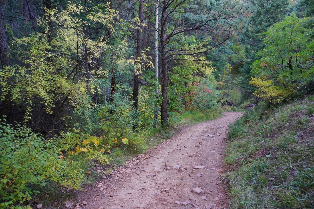
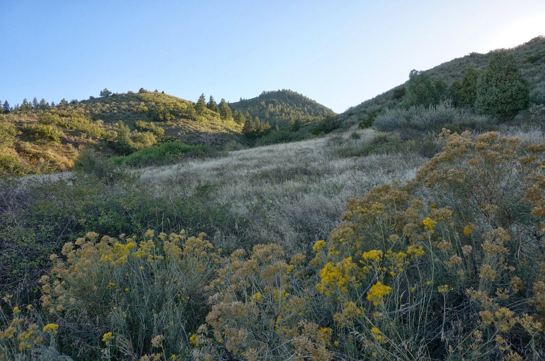
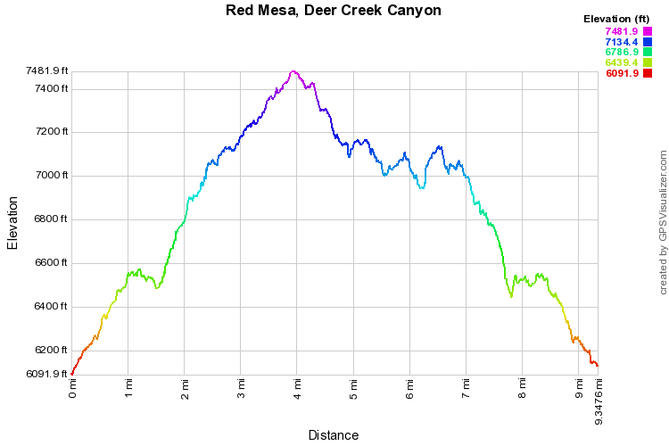
Deer Creek Canyon Park is a wonderful park close to Denver.  I often hike there after work in the summer time.  There are trails of all shapes and sizes but his hike is by far the longest. Just hiking to the start of the loop and back is roughly 6 miles.  Even so, this makes for a wonderful day hike, especially in the Fall.


From the parking area, take the hiker only Meadowlark Trail to the Plymouth Creek Trail.  After 1.2 miles on the Plymouth Creek trail you'll come to the junction with the Red Mesa Loop.  I prefer to hike the loop counter clockwise, this gives you the option of adding the Golden Eagle Trail to the end of the Red Mesa Loop.  Golden Eagle adds 1 mile to your trip and is certainly worth it as the views are fantastic. Head back the way you came or stay on the Plymouth Creek trail all the way to the parking lot. 
Powered by Create your own unique website with customizable templates.