GO HIKE COLORADO
Get in Touch:
  • HOME
  • ABOUT
  • HIKES BY REGION
    • DENVER AREA >
      • Denver Mountain Parks
      • Jefferson County Open Space
      • Lakewood Parks
      • Denver Area Greenways
    • BOULDER AREA
    • DOUGLAS COUNTY
    • FORT COLLINS AREA
    • COLORADO SPRINGS AREA
    • FRONT RANGE
    • TENMILE & MOSQUITO RANGES
    • GORE RANGE
    • SANGRE DE CRISTO MOUNTAINS
    • PARK RANGE
    • SAWATCH RANGE
    • ELK MOUNTAINS
    • SAN JUAN MOUNTAINS
    • THE FLAT TOPS
    • GRAND MESA
    • COLORADO PLATEAU
    • EASTERN PLAINS
  • NATIONAL PARK HIKES
    • BENT'S OLD FORT NATIONAL HISTORIC SITE
    • BLACK CANYON OF THE GUNNISON NATIONAL PARK
    • COLORADO NATIONAL MONUMENT
    • CURECANTI NATIONAL RECREATION AREA
    • DINOSAUR NATIONAL MONUMENT
    • FLORISSANT FOSSIL BEDS NATIONAL MONUMENT
    • MESA VERDE NATIONAL PARK
    • ROCKY MOUNTAIN NATIONAL PARK
    • GREAT SAND DUNES NATIONAL PARK
    • HOVENWEEP NATIONAL MONUMENT
    • SAND CREEK MASSACRE NATIONAL HISTORIC SITE
    • YUCCA HOUSE NATIONAL MONUMENT
  • HIKES BY CATEGORY
    • HIKES TO ALPINE LAKES
    • HIKES TO PEAKS & PASSES
    • HIKES THROUGH CANYONS
    • HIKES WITH FALL COLORS
    • HIKES ALONG THE I-70 CORRIDOR
    • HIKES ON PAVED TRAILS
    • HIKES FOR KIDS
    • HIKES TO WATERFALLS
    • HIKES ALONG RIVERS
    • HIKES WITH ROCK FORMATIONS
    • HIKES WITH WILDFLOWERS
    • WINTER HIKES
  • NEWS
  • WEBCAMS
  • $UPPORT GHC
  • INTERACTIVE MAP

Evergreen Mountain
Aldefer-Three Sisters Park

Date Hiked: July 26, 2013

​Distance:  6 mi (RT)

Elevation Gain: 1,100ft
Elevation Min/Max: 7,441 to 8,536ft
Managing Agency: Jefferson County Open Space
Fee: None

Aldefer-Three Sisters Park Website
Picture

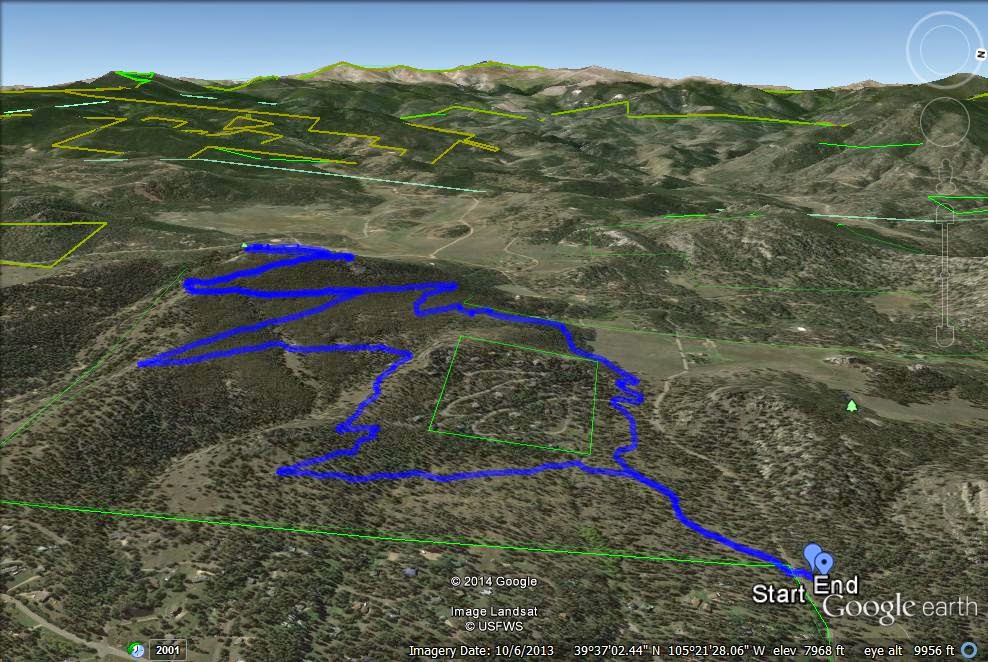
Directions:  From downtown Evergreen, take 73 south and turn right (west) on Buffalo Park Rd.  Follow Buffalo Park Road until you see the parking lot on the right.  Cross the street to the East Evergreen Mountain Trailhead.

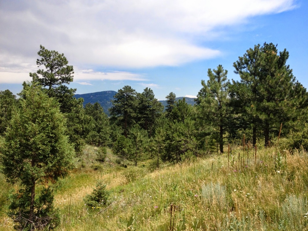
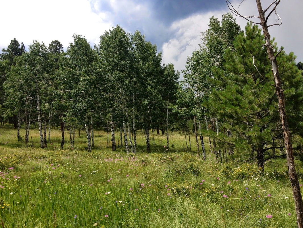
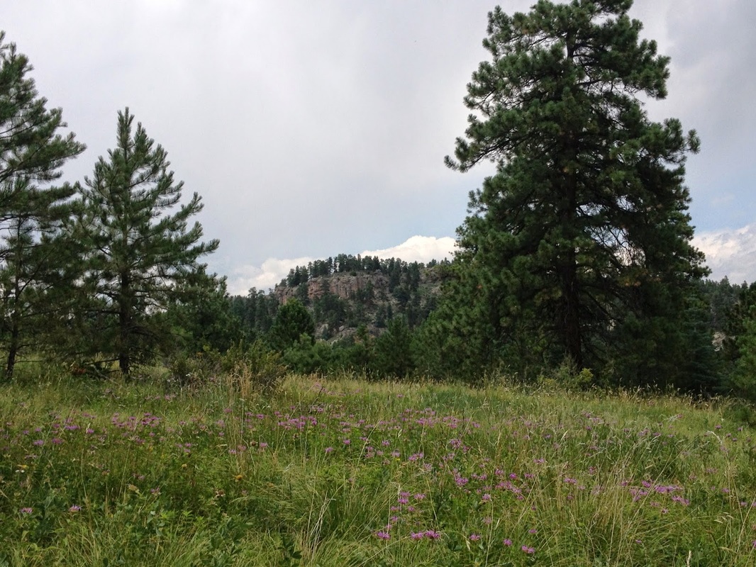
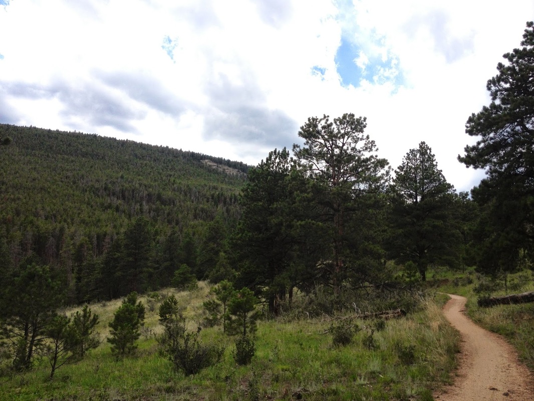
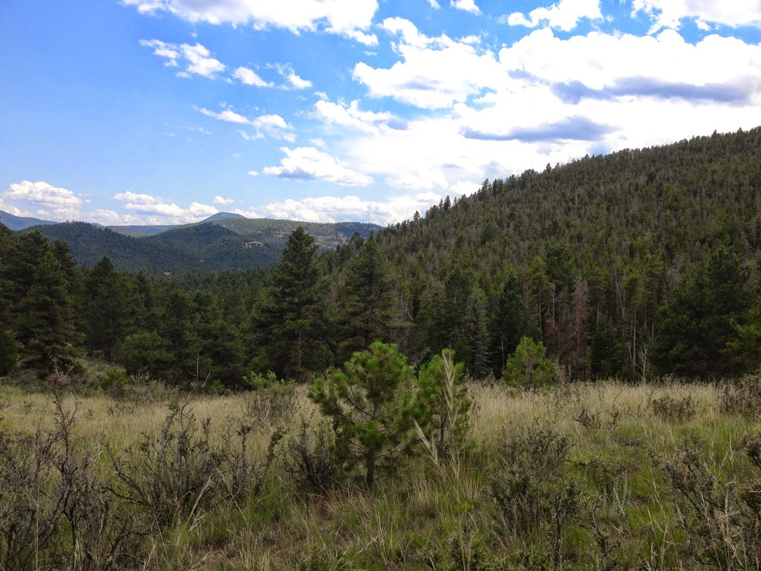
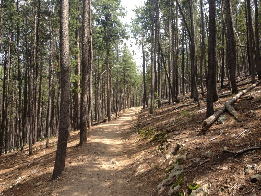
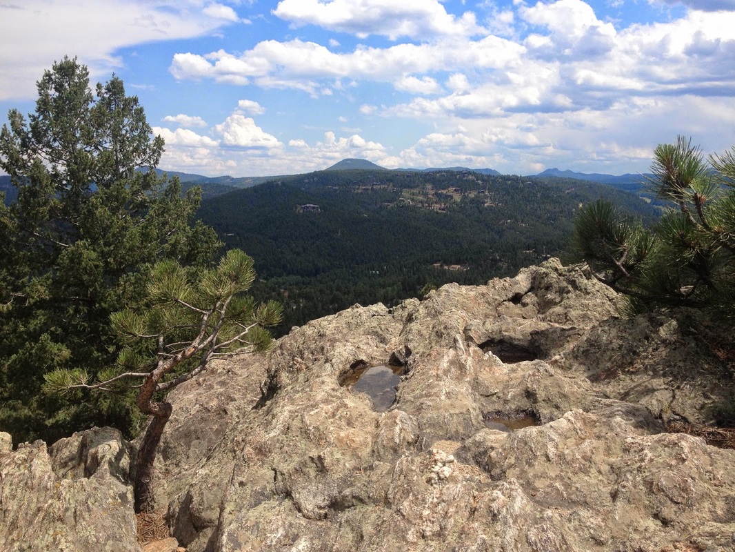
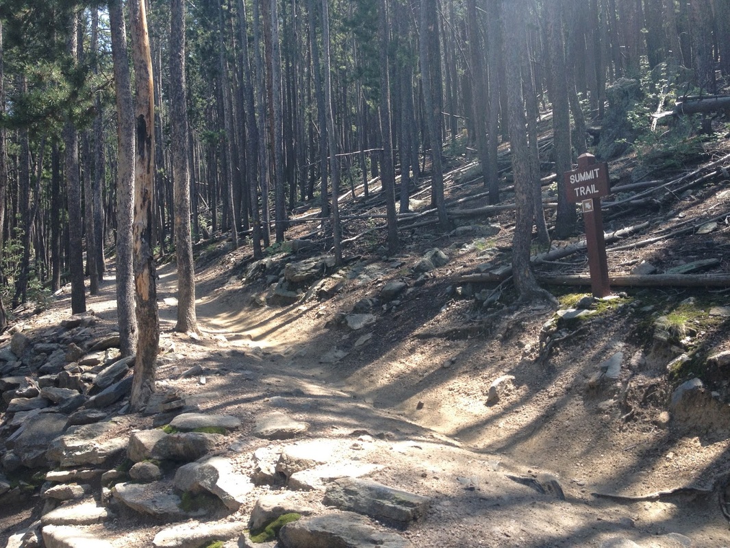
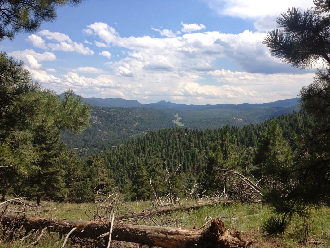
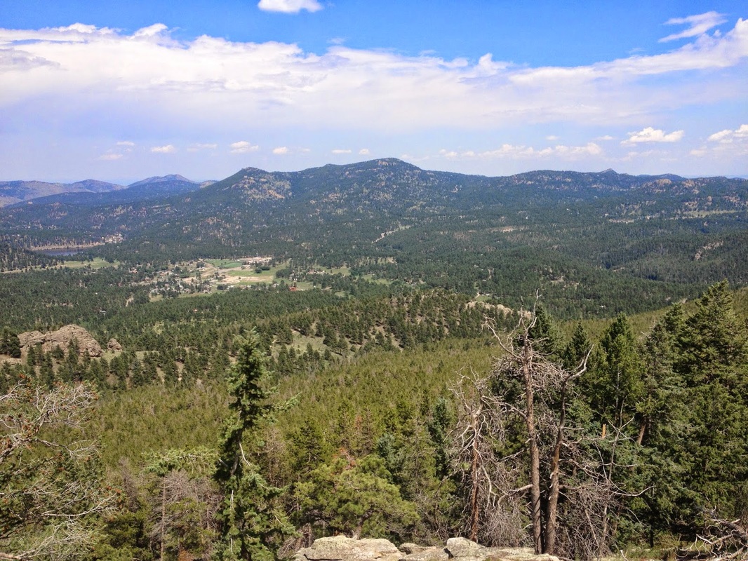
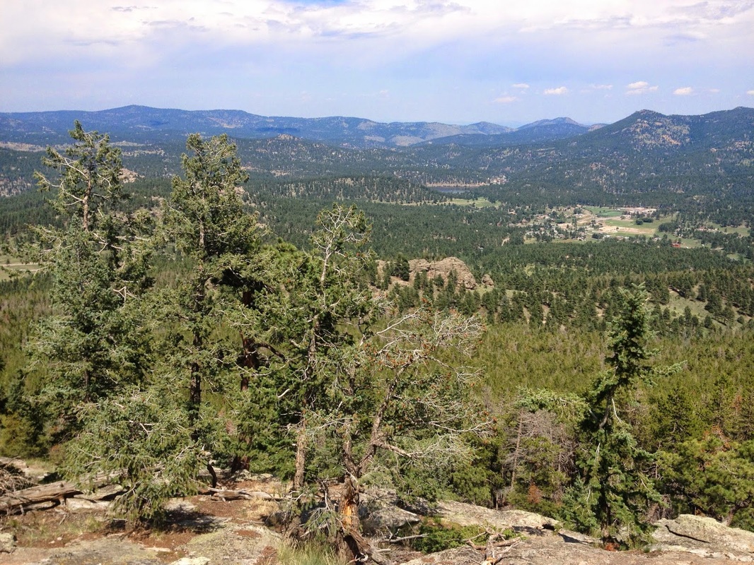
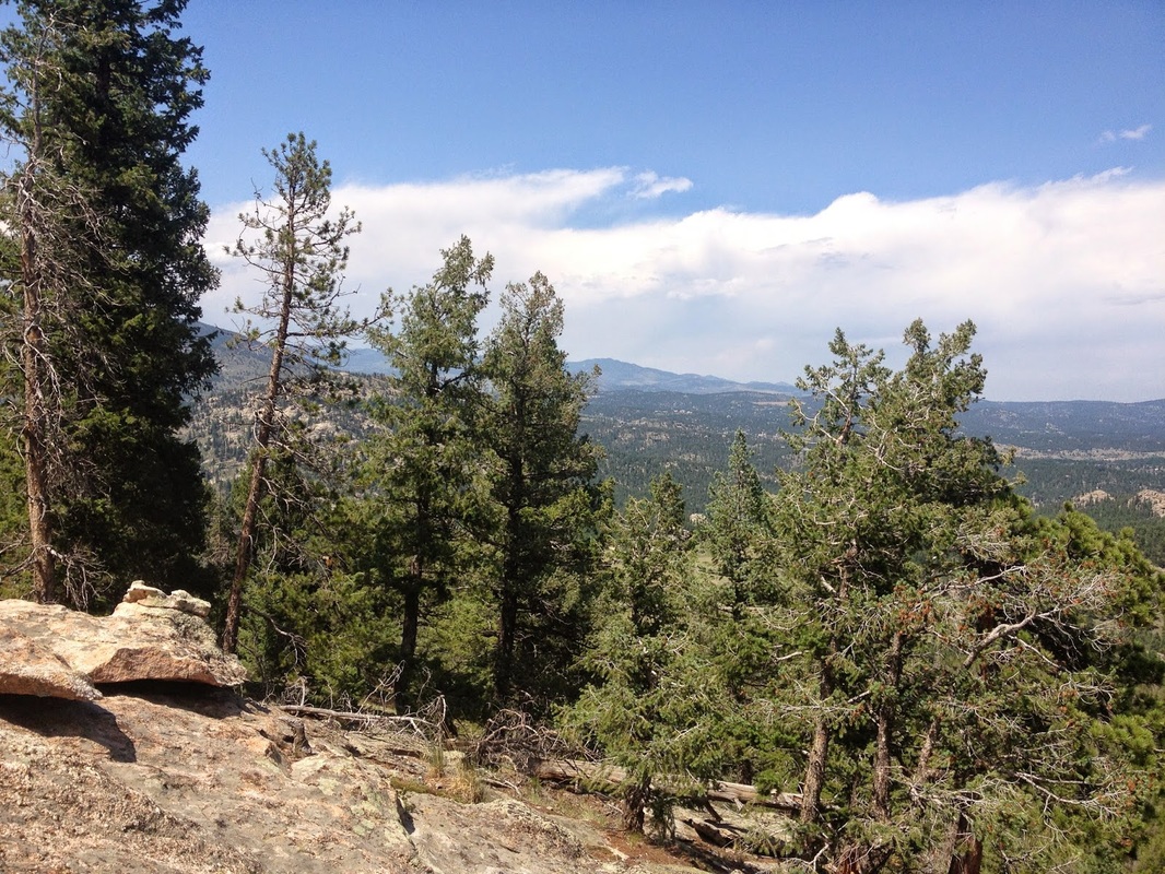
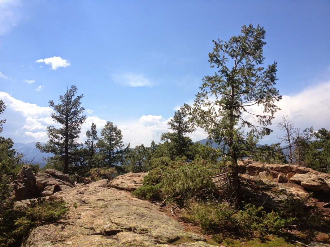
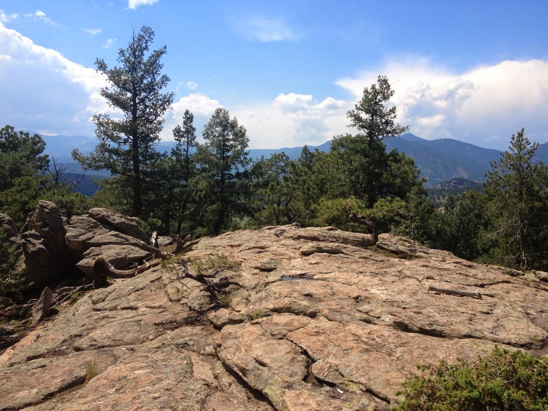
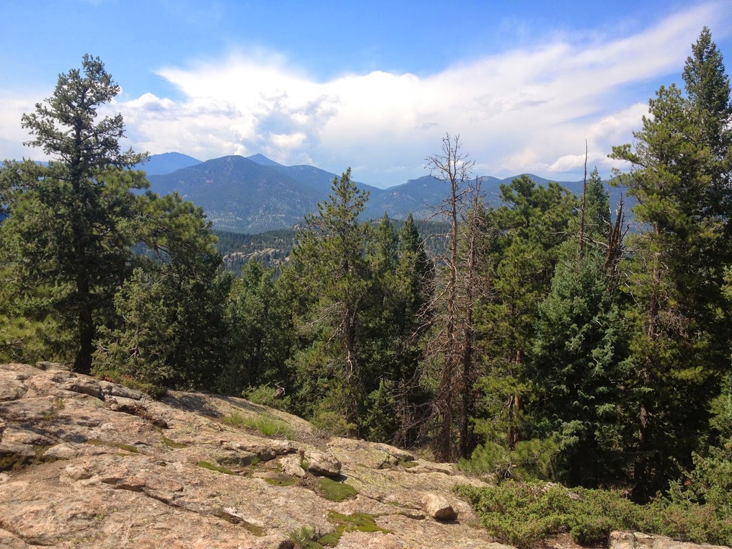
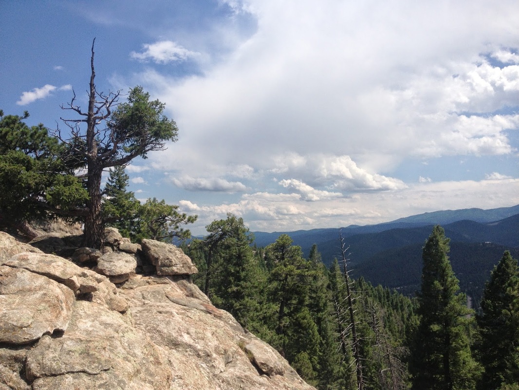
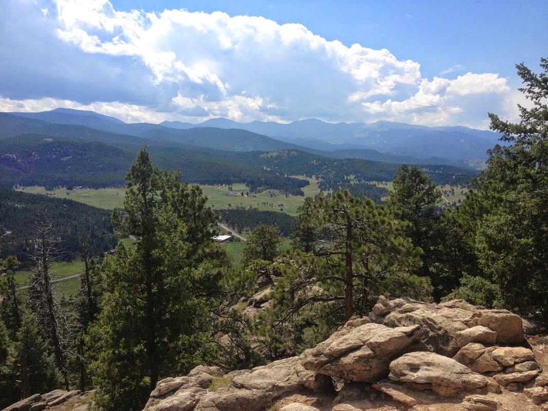
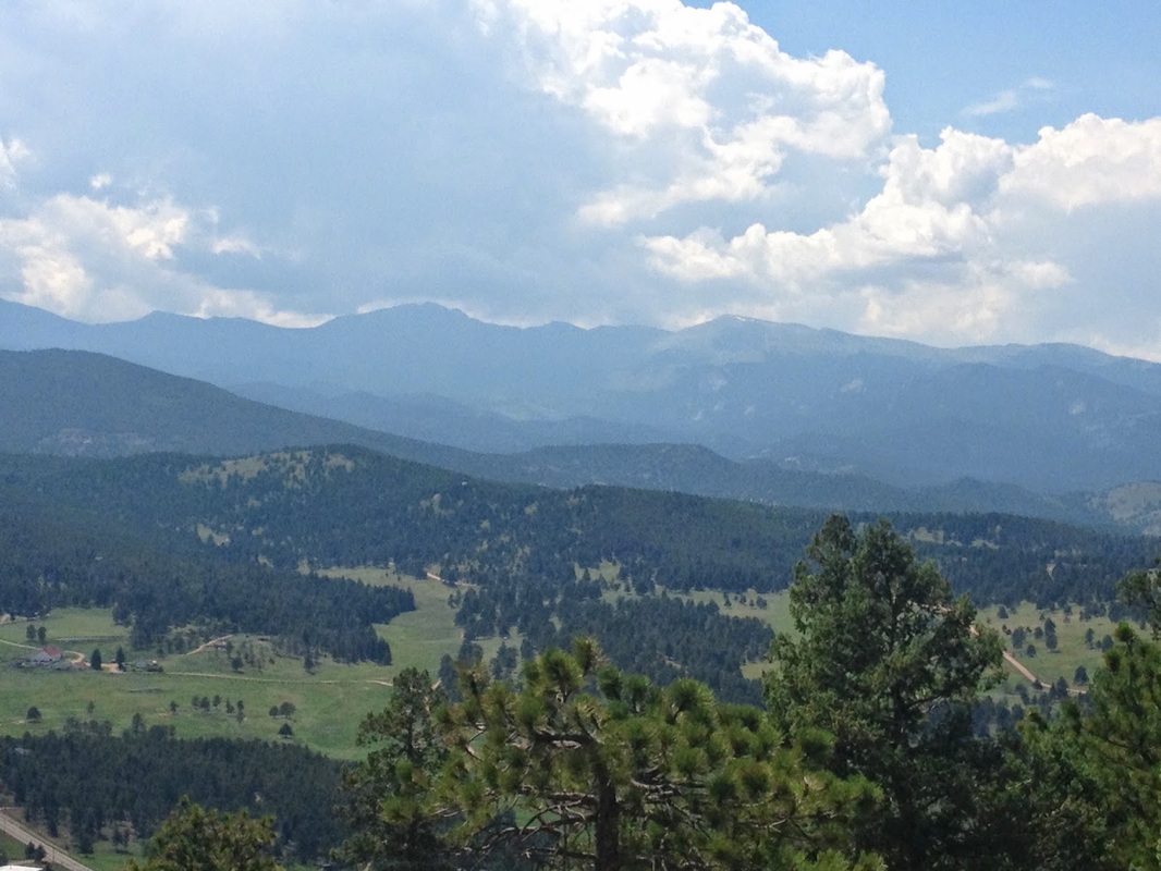
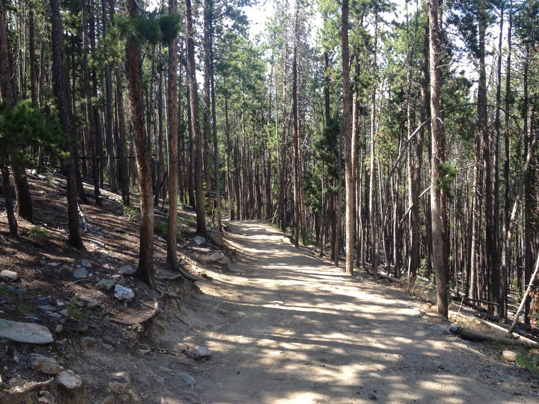
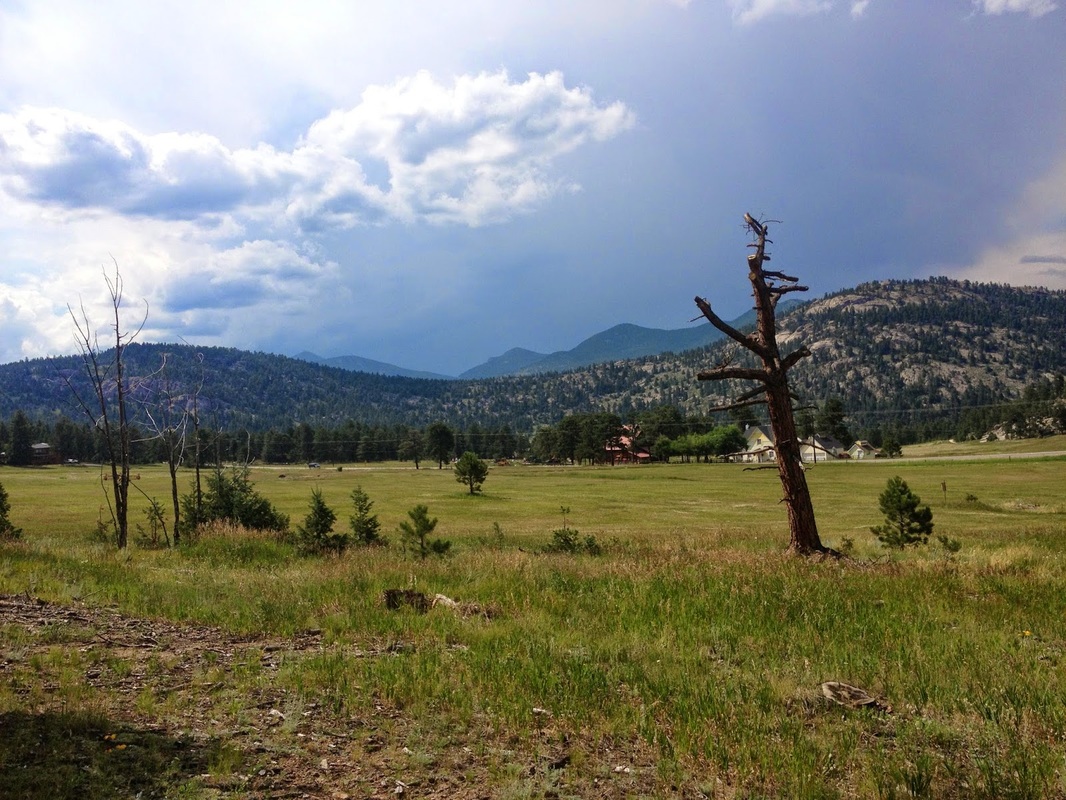
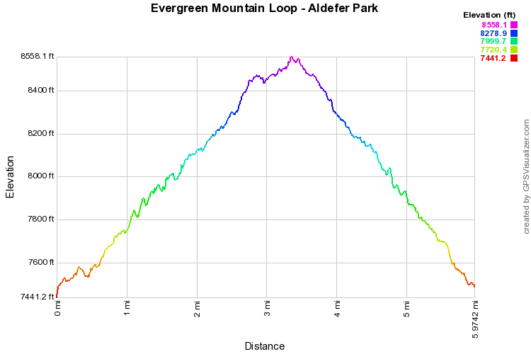
The hike up to Evergreen Mountain is the longest hike in the park and has the most elevation gain.  That being said it is a relatively easy trail.  The trail has a very moderate grade while still being exciting and fun to hike.  I suggest starting the loop from the East Evergreen Trail and descending via the West Evergreen Trail, this minimizes the uphill at the end of the hike.  The trail is easy to follow, take the E. Evergreen Mt. trail through evergreen forests and open meadows to the junction with the Summit Trail. Once on the Summit Trail, be sure to take the short detour on the Scenic View Trail to get some great views of Evergreen and the foothills.  Continue on to the summit at 8,536ft.  There are various rock outcroppings that offer views in every direction with a great view of Mt. Evans on a clear day.  On your way down, make a left at the trail junction and follow the West Evergreen Mountain Trail back down to Buffalo Park Road.  Make a right onto the Ranch View trail which will lead you back to the East Evergreen Trail and the parking area. 

Evergreen Mountain is a wonderful peak to bag in the front range foothills, not as many people hike this trail as they do in the main part of the park and the views can't be beat.
© Go Hike Colorado, 2020.  All Rights Reserved. 
Use of photographs without prior authorization is
​strictly prohibited.


Contact us at:
[email protected]
Legal Disclaimer - Information provided on this site is based upon our own observations, always double check information with the appropriate land management agency before heading into the backcountry.  Backcountry travel is inherently dangerous, please take all proper precautions.  Go Hike Colorado is not responsible for injury or incident.