|
Directions: From Denver head west on I-70 to Golden. Exit the Denver West exit turn right off the highway, then left on Denver West Parkway. Just before the entrance to NREL you will see the unmarked trailhead on the right. However, there is no parking here. Your best bet it is to park at the office building across the street.
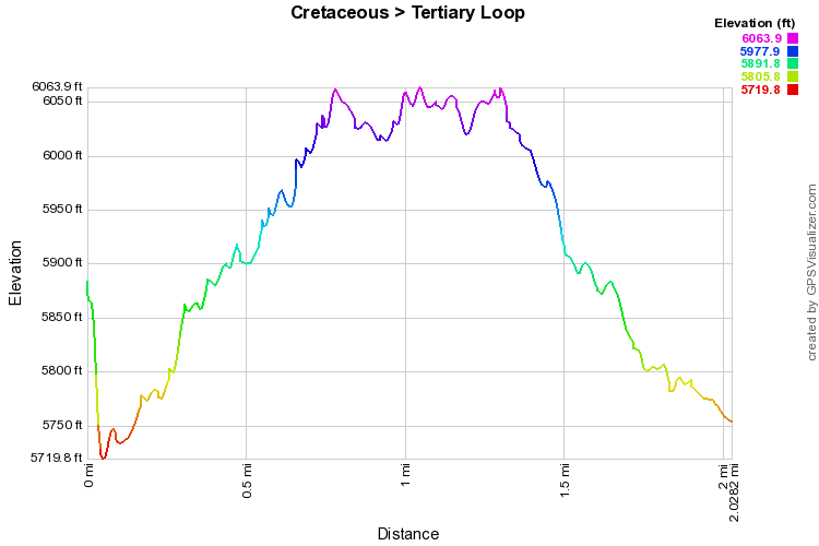
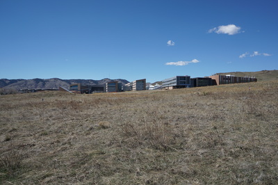
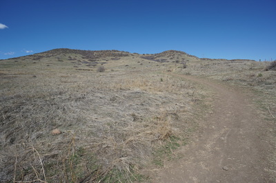
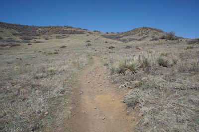
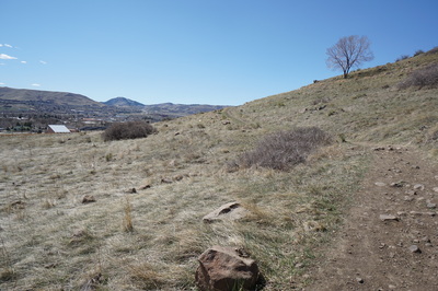
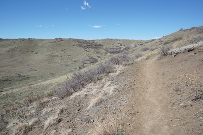
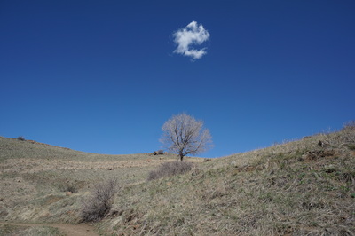
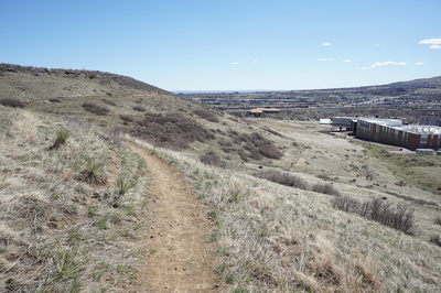
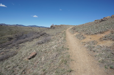
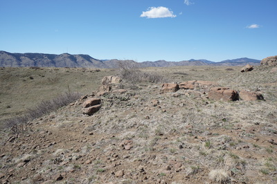
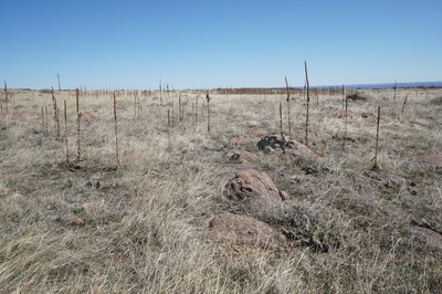
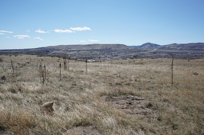
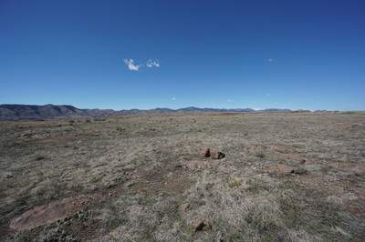
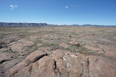
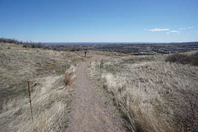
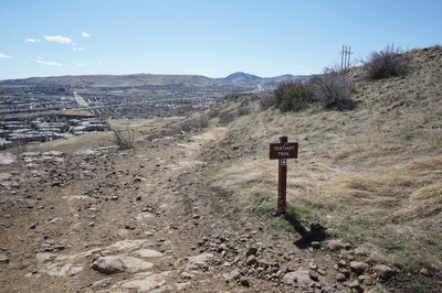
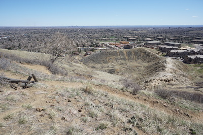
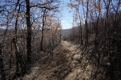
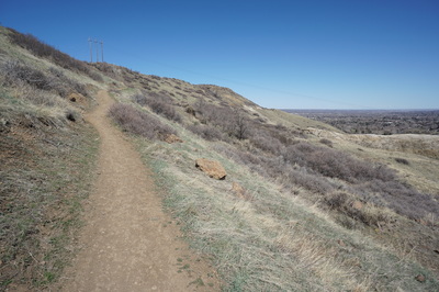
The Cretaceous and Tertiary Trails are some of the few official trails at S. Table Mountain Park. They both climb steadily (about 500 ft) to the top of the mesa allowing you access to the Basalt Loop. The Cretaceous Trail starts just before NREL and starts out pretty level. Once you reach the fork in the trail, head left to stay on the Cretaceous Trail. The trail will climb the side of S. Table Mountain overlooking NREL and Green Mountain beyond. After a short time you reach the top of the Mesa. When you reach the intersection with the Basalt Loop you can bear right as this description suggests or you can bear left for a longer hike. The trail skirts the edge of the Mesa and provides the wide open views that are common the tops of North and South Table Mountains. The views of the front range foothills to the west and Denver and the plains to the East are wonderful. Travel the easy trail to the east and bear right at the next intersection. Turn the corner and you see the sign for the Tertiary Trail. Head down the Tertiary which will take you back to the trailhead. Like all hikes at S. Table Mountain you'll be swept away into an urban wilderness at the top of the mesa. It really does feel like a different world, a wilder world. One you will be eager to return to time and time again. |
- HOME
- ABOUT
-
HIKES BY REGION
-
NATIONAL PARK HIKES
- BENT'S OLD FORT NATIONAL HISTORIC SITE
- BLACK CANYON OF THE GUNNISON NATIONAL PARK
- COLORADO NATIONAL MONUMENT
- CURECANTI NATIONAL RECREATION AREA
- DINOSAUR NATIONAL MONUMENT
- FLORISSANT FOSSIL BEDS NATIONAL MONUMENT
- MESA VERDE NATIONAL PARK
- ROCKY MOUNTAIN NATIONAL PARK
- GREAT SAND DUNES NATIONAL PARK
- HOVENWEEP NATIONAL MONUMENT
- SAND CREEK MASSACRE NATIONAL HISTORIC SITE
- YUCCA HOUSE NATIONAL MONUMENT
- HIKES BY CATEGORY
- NEWS
- WEBCAMS
- $UPPORT GHC
- INTERACTIVE MAP
Cretaceous > Tertiary Loop
South Table Mountain Park
Date Hiked: March 28, 2015
Distance: 2 mi (RT)
Elevation Gain: 511ft
Elevation Min/Max: 5,720 to 6,604ft
Trailhead Lat/Long: 39 44' 26'' N; 105 09' 55'' W
Managing Agency: Jefferson County Open Space
Fee: None

