GO HIKE COLORADO
Get in Touch:
  • HOME
  • ABOUT
  • HIKES BY REGION
    • DENVER AREA >
      • Denver Mountain Parks
      • Jefferson County Open Space
      • Lakewood Parks
      • Denver Area Greenways
    • BOULDER AREA
    • DOUGLAS COUNTY
    • FORT COLLINS AREA
    • COLORADO SPRINGS AREA
    • FRONT RANGE
    • TENMILE & MOSQUITO RANGES
    • GORE RANGE
    • SANGRE DE CRISTO MOUNTAINS
    • PARK RANGE
    • SAWATCH RANGE
    • ELK MOUNTAINS
    • SAN JUAN MOUNTAINS
    • THE FLAT TOPS
    • GRAND MESA
    • COLORADO PLATEAU
    • EASTERN PLAINS
  • NATIONAL PARK HIKES
    • BENT'S OLD FORT NATIONAL HISTORIC SITE
    • BLACK CANYON OF THE GUNNISON NATIONAL PARK
    • COLORADO NATIONAL MONUMENT
    • CURECANTI NATIONAL RECREATION AREA
    • DINOSAUR NATIONAL MONUMENT
    • FLORISSANT FOSSIL BEDS NATIONAL MONUMENT
    • MESA VERDE NATIONAL PARK
    • ROCKY MOUNTAIN NATIONAL PARK
    • GREAT SAND DUNES NATIONAL PARK
    • HOVENWEEP NATIONAL MONUMENT
    • SAND CREEK MASSACRE NATIONAL HISTORIC SITE
    • YUCCA HOUSE NATIONAL MONUMENT
  • HIKES BY CATEGORY
    • HIKES TO ALPINE LAKES
    • HIKES TO PEAKS & PASSES
    • HIKES THROUGH CANYONS
    • HIKES WITH FALL COLORS
    • HIKES ALONG THE I-70 CORRIDOR
    • HIKES ON PAVED TRAILS
    • HIKES FOR KIDS
    • HIKES TO WATERFALLS
    • HIKES ALONG RIVERS
    • HIKES WITH ROCK FORMATIONS
    • HIKES WITH WILDFLOWERS
    • WINTER HIKES
  • NEWS
  • WEBCAMS
  • $UPPORT GHC
  • INTERACTIVE MAP

Lichen Peak
North Table Mountain Park

Date Hiked: April 21, 2015

​Distance: 1.7 mi (RT)
Elevation Gain: 571ft
Elevation Min/Max: 6,013 to 6,560ft
Managing Agency: Jefferson County Open Space
Fee: None

North Table Mountain Park Website
Picture

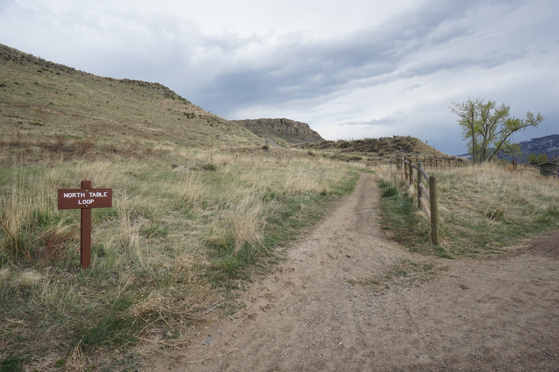
Directions:  From Denver, take I-70 west to Hwy 58 west to Golden.  Make a right (north) on 93.  Head north through the shopping center, the parking area and trailhead will be on your right.

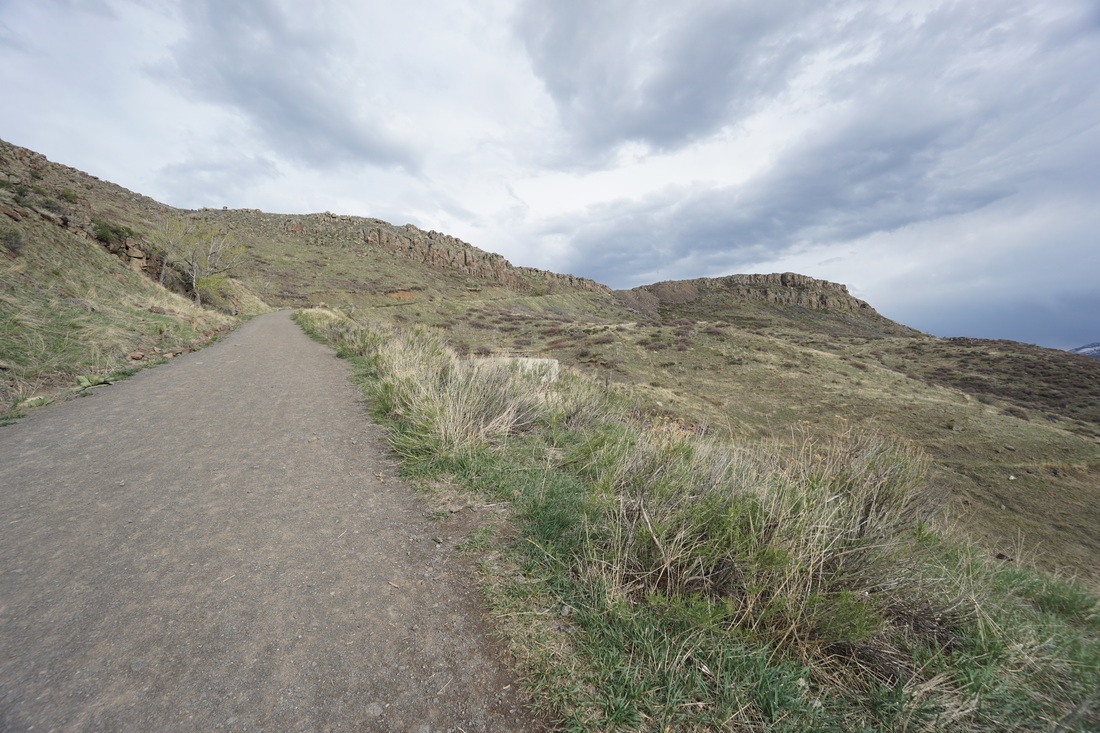
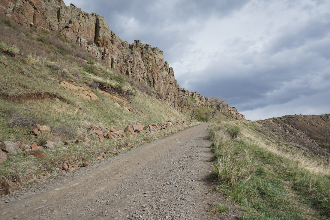
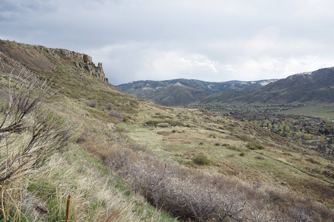
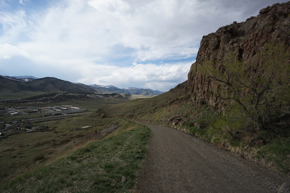
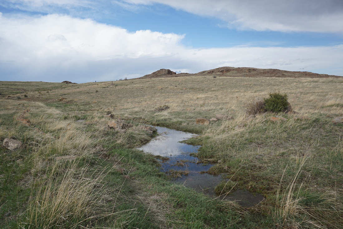
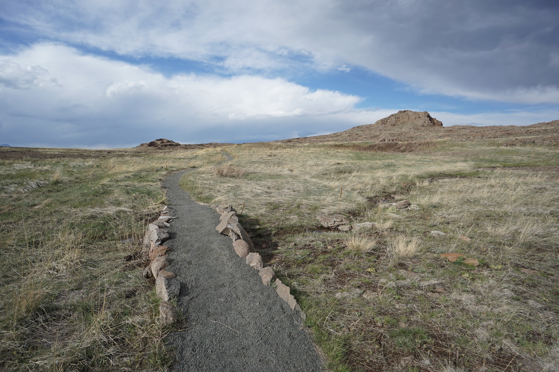
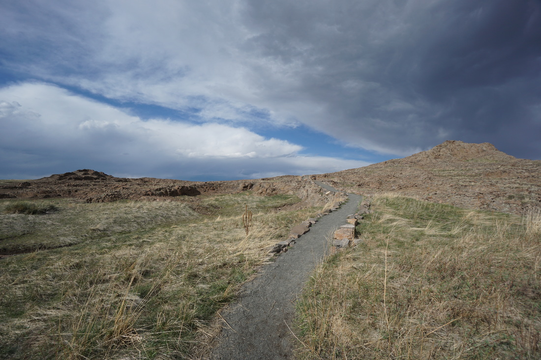
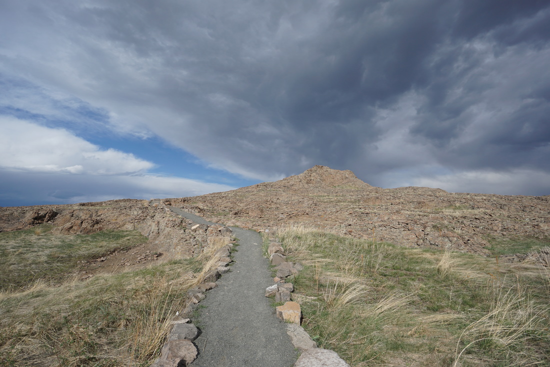
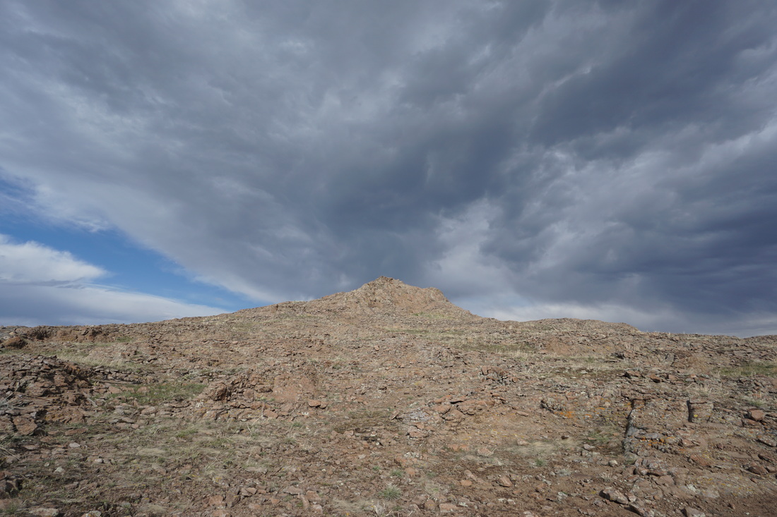
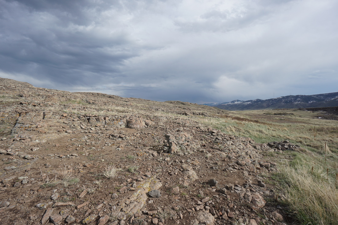
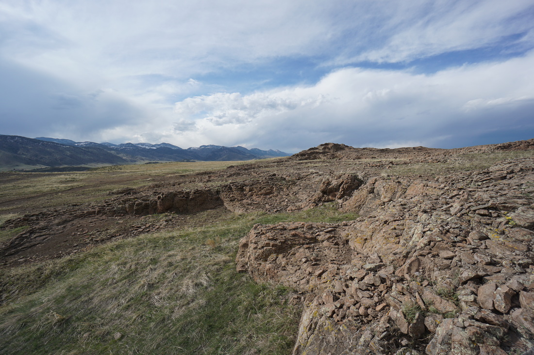
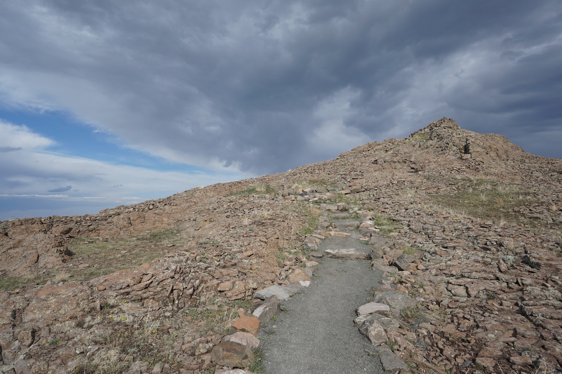
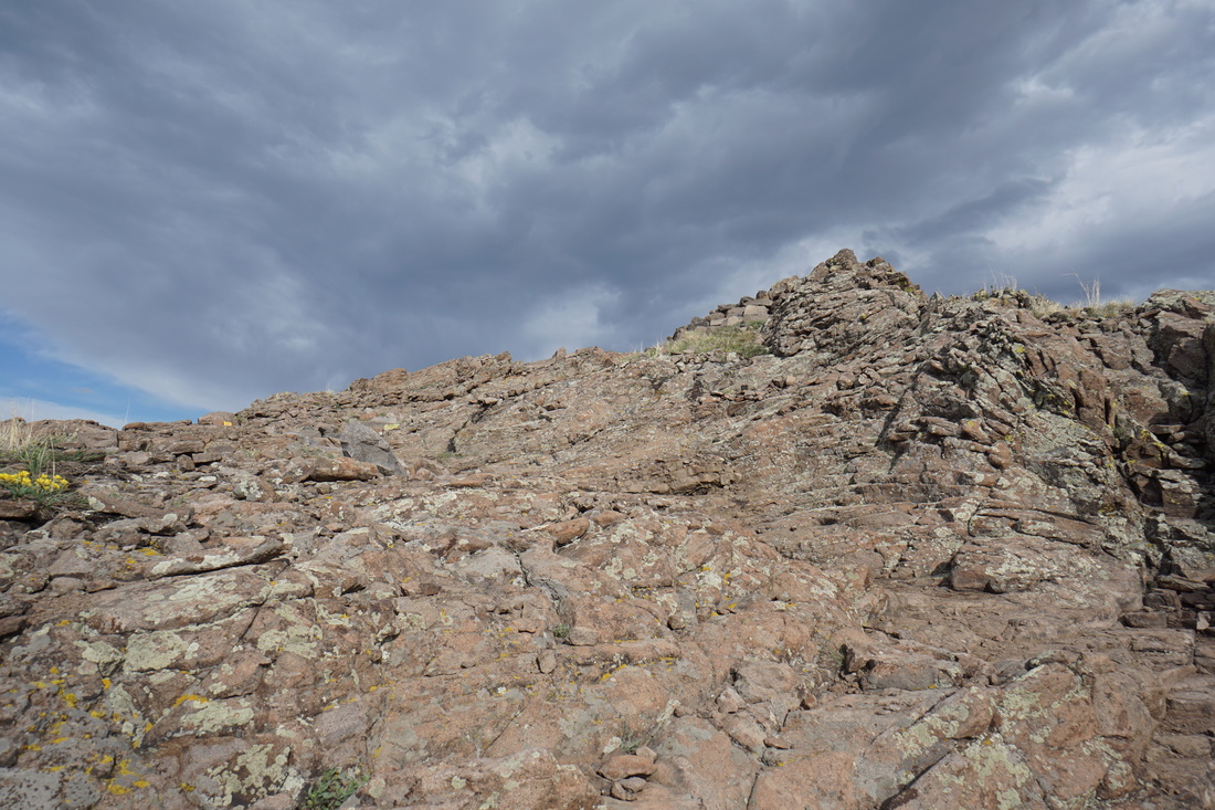
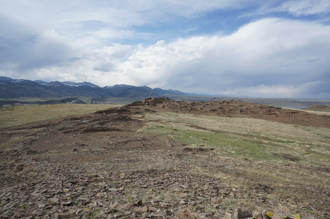
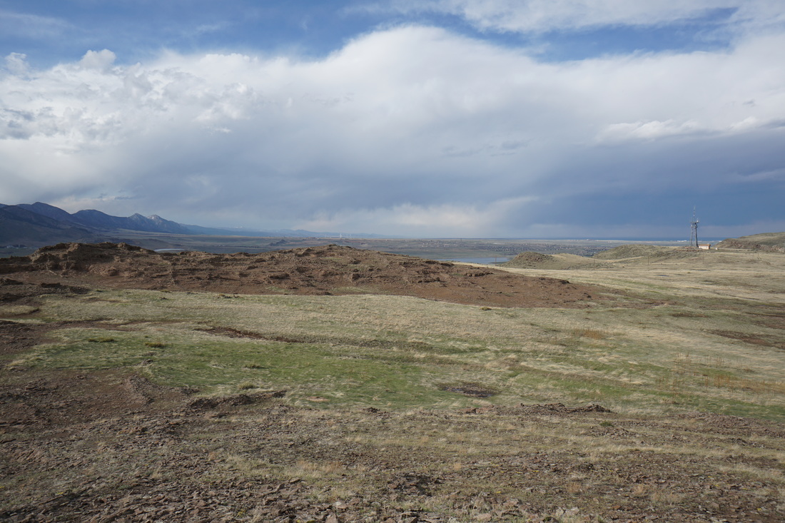
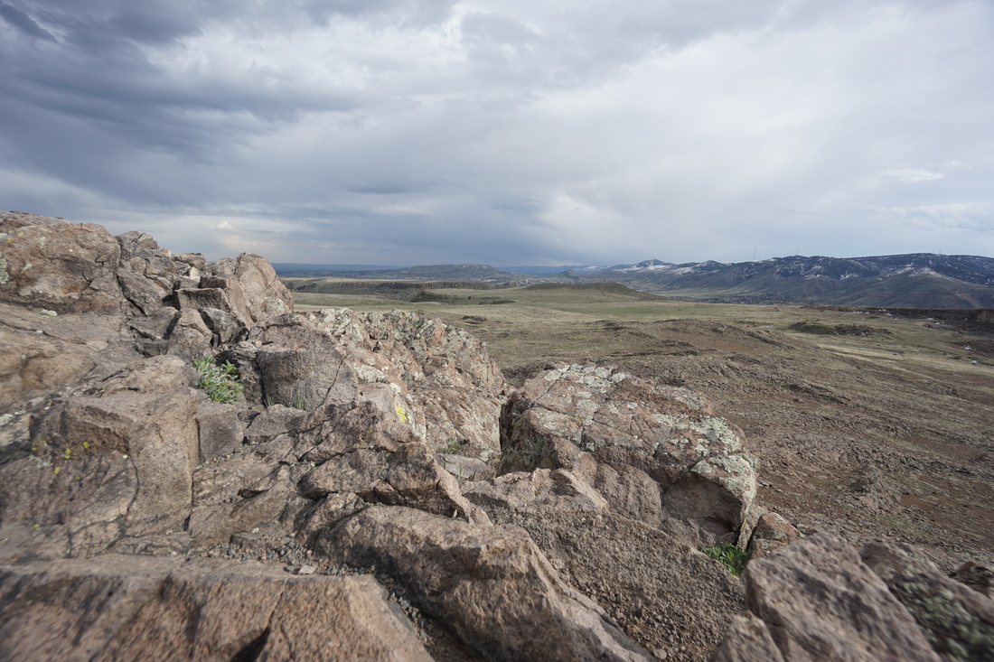
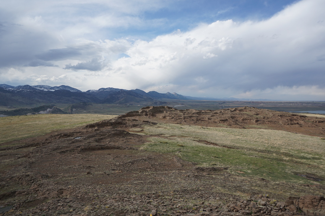
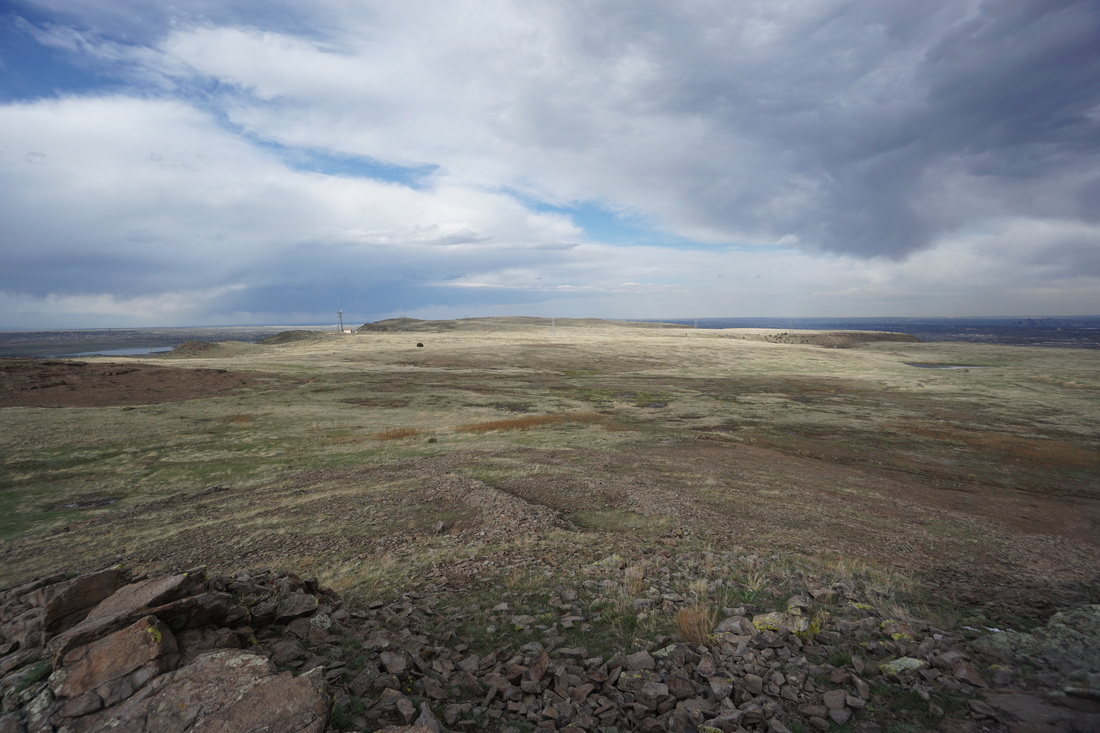
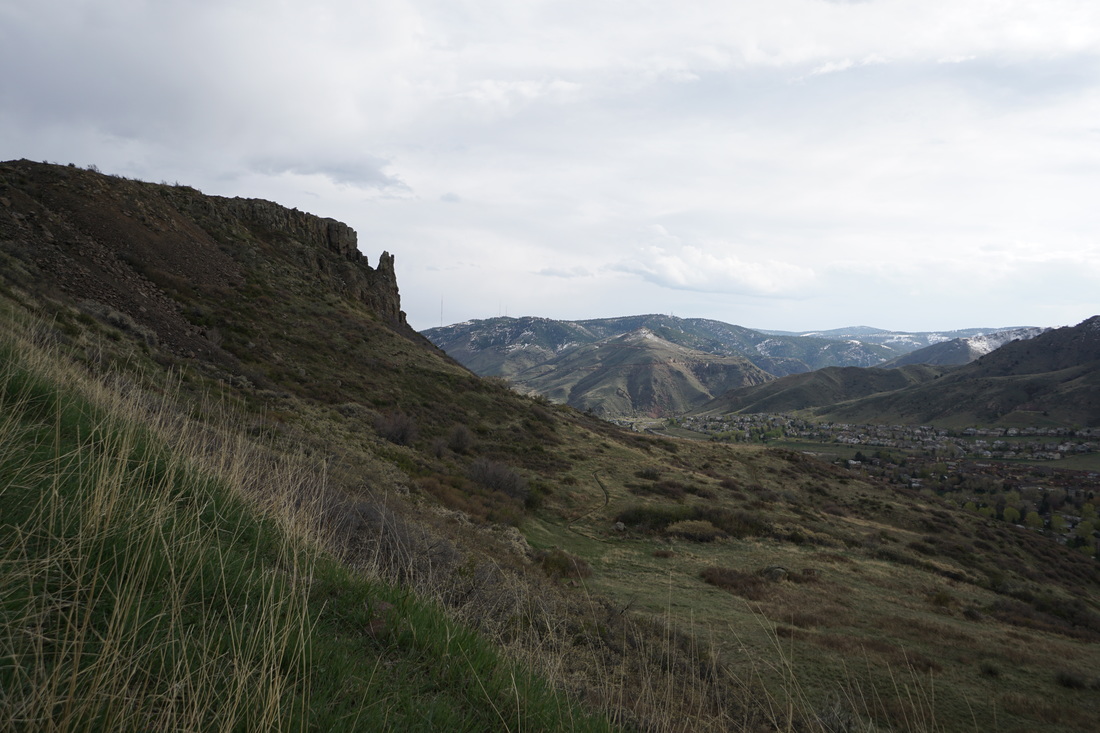
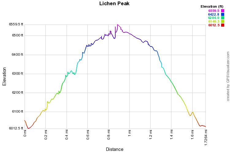
The hike up to Lichen Peak is a short but steep hike directly up to the highest point on North Table Mountain.  The trail starts out from the parking area along an old dirt road.  Resist the urge to take the side trails and continue up the steep road.  The views up and down the Golden Valley are wonderful from this trail.  Once you reach the mesa top, you'll see the quarry climbing area on the right and a trail intersection ahead.  Proceed straight on the Tilted Mesa Trail for just a few steps, the Lichen Peak trail will be on your left.  This easy, well maintained trail leads up through the lichen covered volcanic rock garden up some steps to the rocky summit.  The views from the trail and the summit are nothing short of spectacular.  The peak gives you a grand overview of North Table Mountain and views stretching north to the Boulder Mountains, Indian Peaks, and Longs Peak, and south to Pike's Peak in the distance.  

When you are finished admiring the view, retrace your steps.  There are numerous options for longer hikes on the Mesa Top, but the most direct route back down is along the road you hiked up.  


© Go Hike Colorado, 2020.  All Rights Reserved. 
Use of photographs without prior authorization is
​strictly prohibited.


Contact us at:
[email protected]
Legal Disclaimer - Information provided on this site is based upon our own observations, always double check information with the appropriate land management agency before heading into the backcountry.  Backcountry travel is inherently dangerous, please take all proper precautions.  Go Hike Colorado is not responsible for injury or incident.