GO HIKE COLORADO
Get in Touch:
  • HOME
  • ABOUT
  • HIKES BY REGION
    • DENVER AREA >
      • Denver Mountain Parks
      • Jefferson County Open Space
      • Lakewood Parks
      • Denver Area Greenways
    • BOULDER AREA
    • DOUGLAS COUNTY
    • FORT COLLINS AREA
    • COLORADO SPRINGS AREA
    • FRONT RANGE
    • TENMILE & MOSQUITO RANGES
    • GORE RANGE
    • SANGRE DE CRISTO MOUNTAINS
    • PARK RANGE
    • SAWATCH RANGE
    • ELK MOUNTAINS
    • SAN JUAN MOUNTAINS
    • THE FLAT TOPS
    • GRAND MESA
    • COLORADO PLATEAU
    • EASTERN PLAINS
  • NATIONAL PARK HIKES
    • BENT'S OLD FORT NATIONAL HISTORIC SITE
    • BLACK CANYON OF THE GUNNISON NATIONAL PARK
    • COLORADO NATIONAL MONUMENT
    • CURECANTI NATIONAL RECREATION AREA
    • DINOSAUR NATIONAL MONUMENT
    • FLORISSANT FOSSIL BEDS NATIONAL MONUMENT
    • MESA VERDE NATIONAL PARK
    • ROCKY MOUNTAIN NATIONAL PARK
    • GREAT SAND DUNES NATIONAL PARK
    • HOVENWEEP NATIONAL MONUMENT
    • SAND CREEK MASSACRE NATIONAL HISTORIC SITE
    • YUCCA HOUSE NATIONAL MONUMENT
  • HIKES BY CATEGORY
    • HIKES TO ALPINE LAKES
    • HIKES TO PEAKS & PASSES
    • HIKES THROUGH CANYONS
    • HIKES WITH FALL COLORS
    • HIKES ALONG THE I-70 CORRIDOR
    • HIKES ON PAVED TRAILS
    • HIKES FOR KIDS
    • HIKES TO WATERFALLS
    • HIKES ALONG RIVERS
    • HIKES WITH ROCK FORMATIONS
    • HIKES WITH WILDFLOWERS
    • WINTER HIKES
  • NEWS
  • WEBCAMS
  • $UPPORT GHC
  • INTERACTIVE MAP

Red Rocks to Morrison Slide Trail
Matthews-Winters Park

Distance: 4.5 mi (RT)
Elevation Gain: 800 ft
Elevation Min/Max: 6,311 to 6,829ft
Managing Agency: Jefferson County Open Space
Fee: None

Matthews-Winters Park Website
Picture

Directions:  From Denver take I-70 West to the Exit for the Park and Ride.  Head south on 93 and make a quick right turn into the parking area.

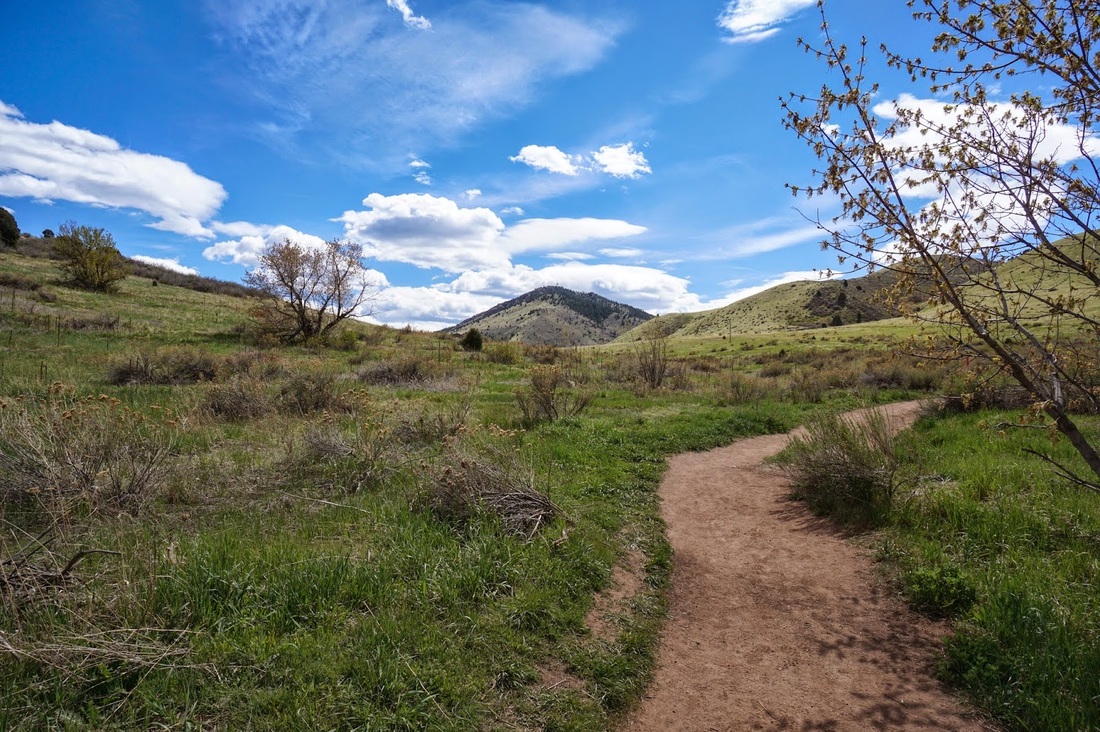
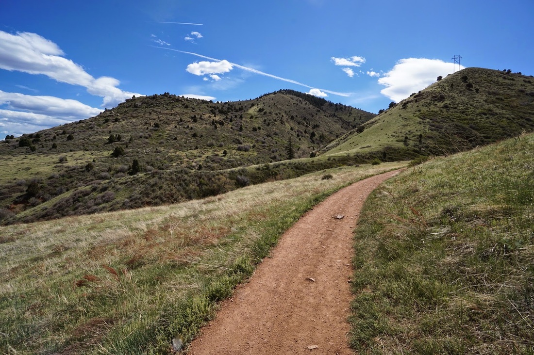
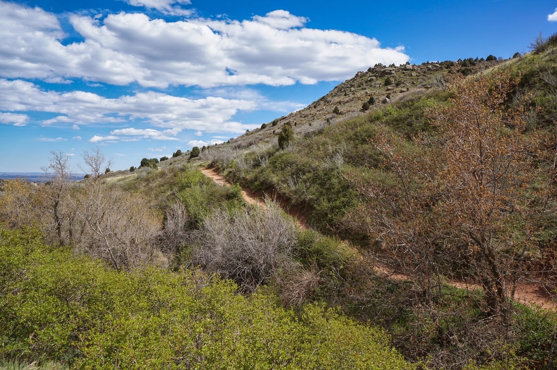
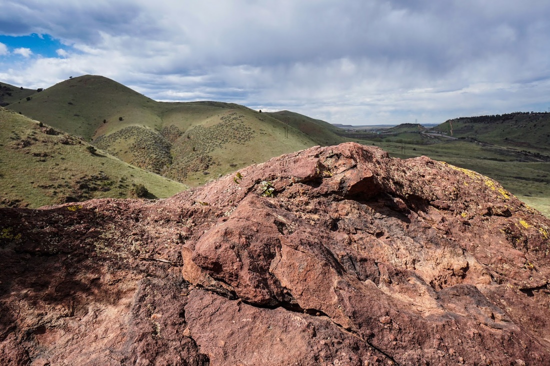
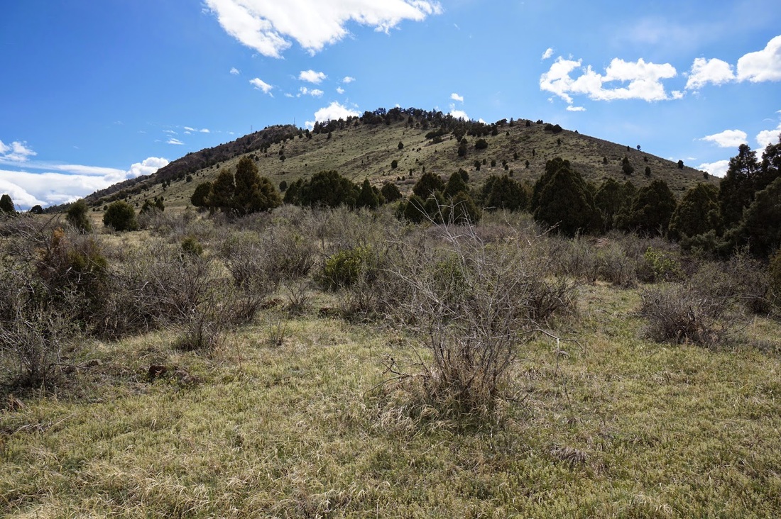
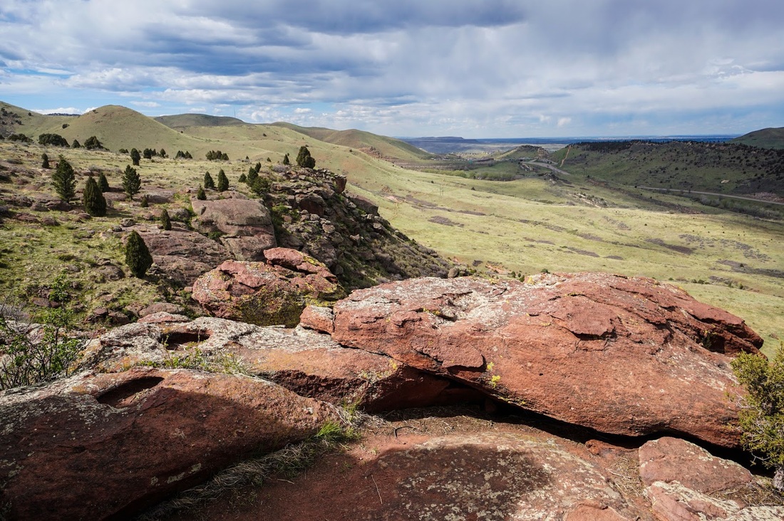
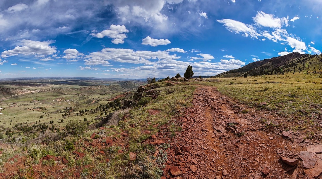
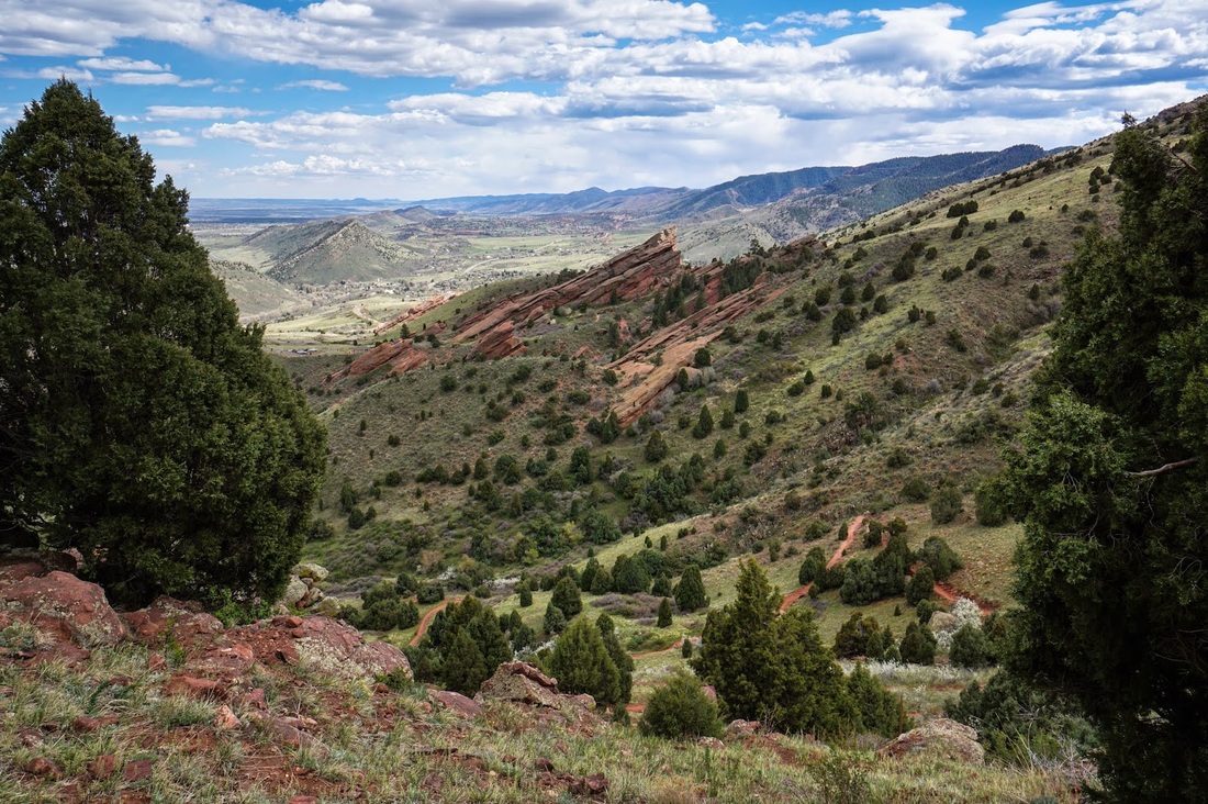
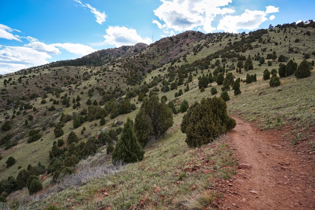
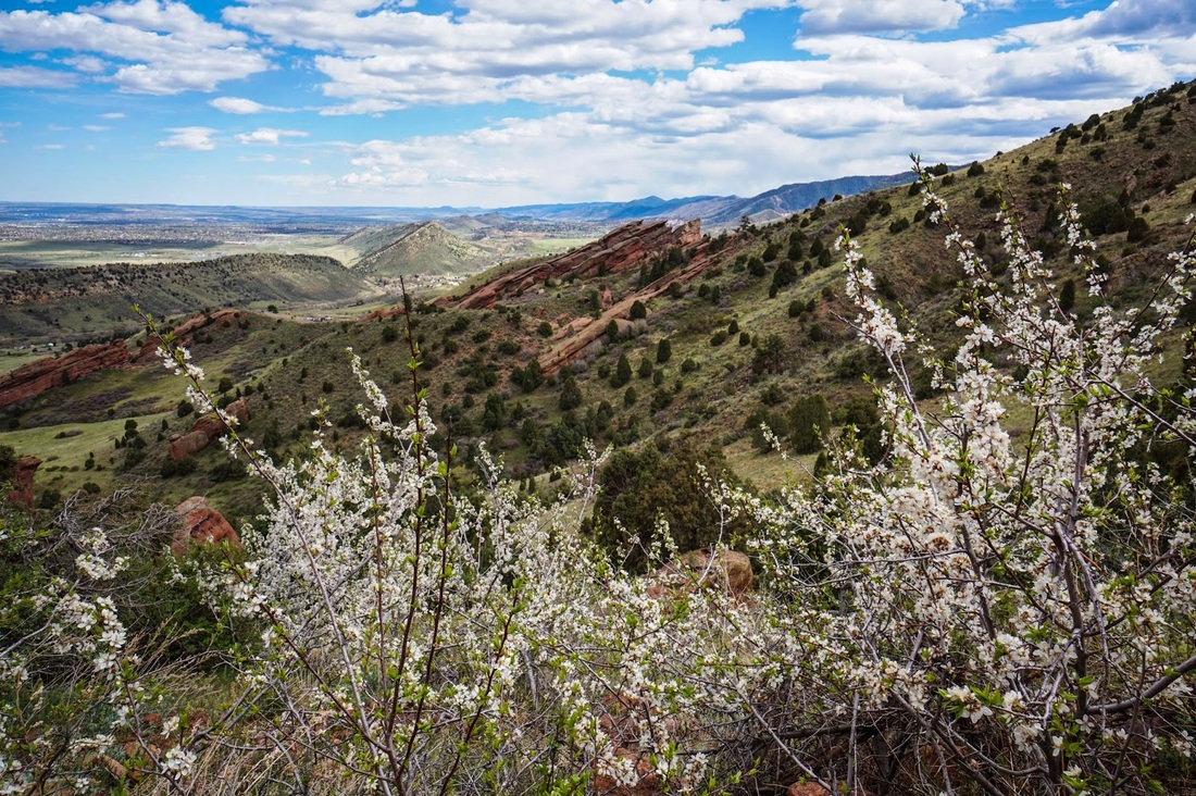
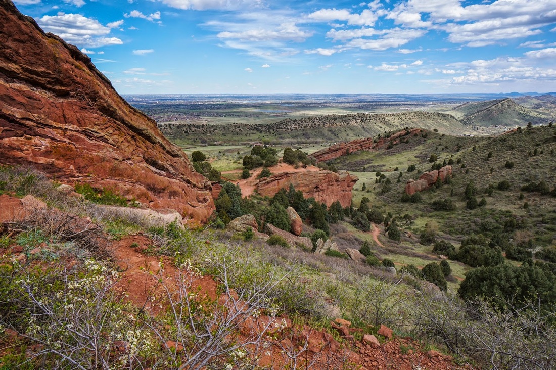
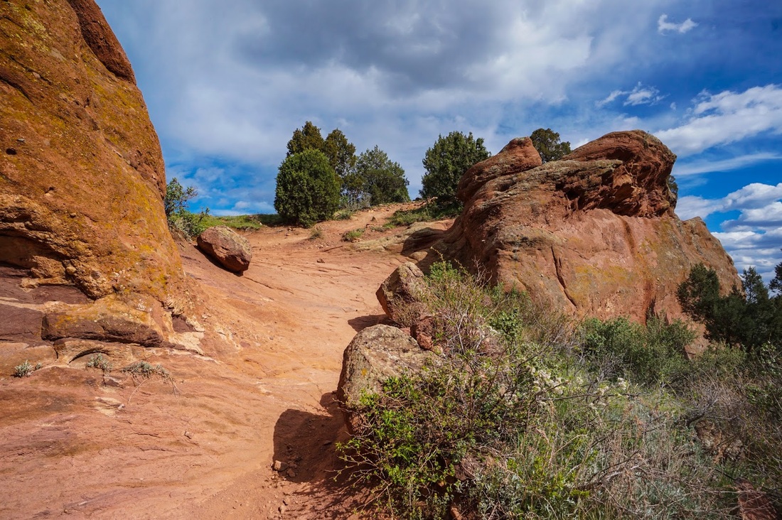
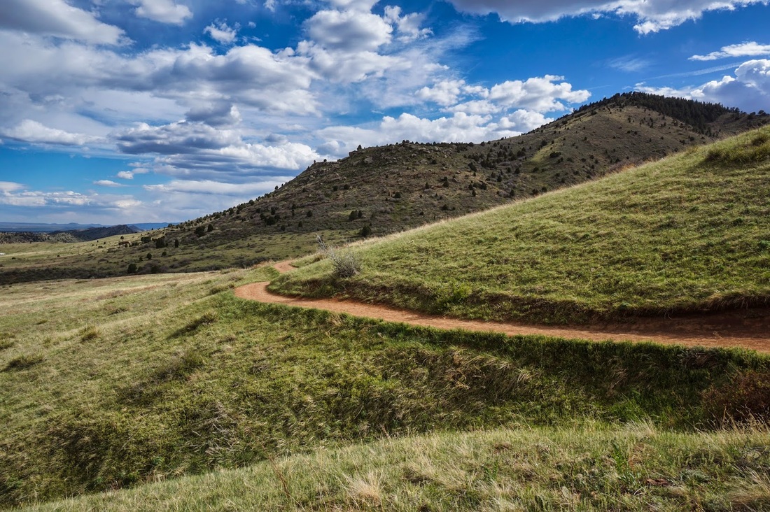
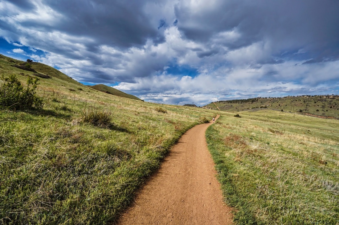
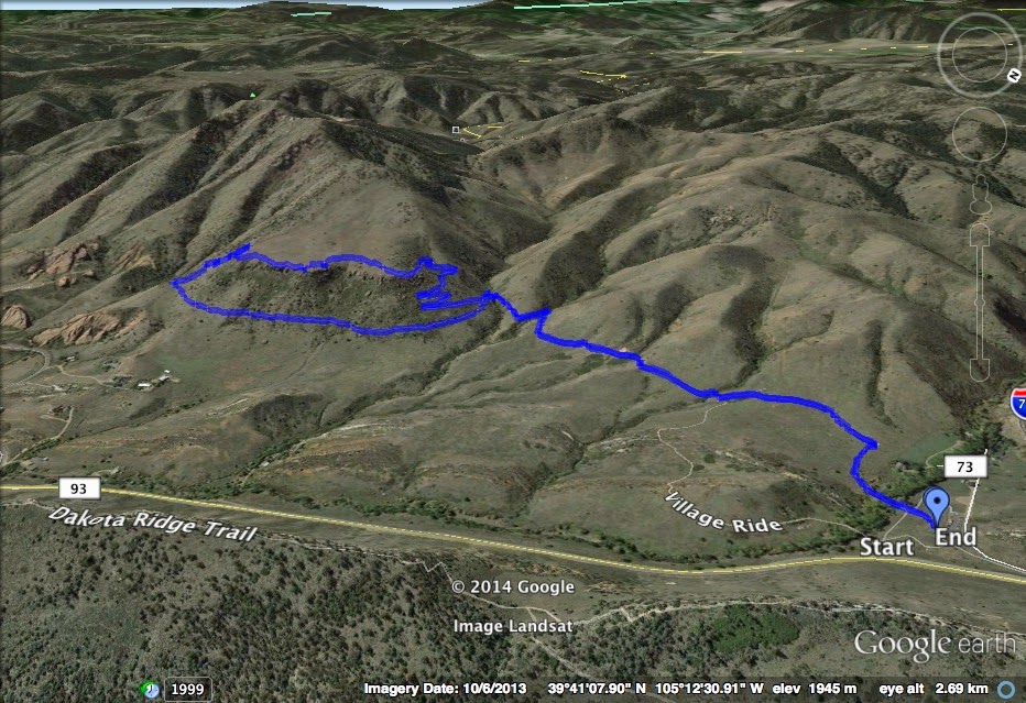
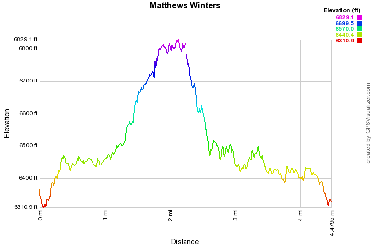
This is a wonderful hike, close to Denver, with a lot to offer.  You get an incredible view looking down on Red Rocks Park and Amphitheater, and a fun hike with enough elevation gain to get the heart rate up.  From the parking area follow the Village Walk trail to the Red Rocks trail.  This first part of the hike rolls along an open meadow and leads to the switchbacks heading up to a mesa below Mt. Morrison.  There you follow the edge of the mesa with great cliff-side views down the valley.  When you get to the far side of the mesa you are greeted by a wonderful view of Red Rocks.  From here you descend via more switchbacks through an area with abundant red rock formations.  When the trail splits, head left towards the red rock saddle.  Follow the Red Rocks Trail back underneath the mesa cliffs and return back to the parking area.

The trail is popular, but well worth it, the top of the Mesa is one of my favorite spots in the foothills.  make sure you don't rush through this spot, take your time and enjoy... 
© Go Hike Colorado, 2020.  All Rights Reserved. 
Use of photographs without prior authorization is
​strictly prohibited.


Contact us at:
[email protected]
Legal Disclaimer - Information provided on this site is based upon our own observations, always double check information with the appropriate land management agency before heading into the backcountry.  Backcountry travel is inherently dangerous, please take all proper precautions.  Go Hike Colorado is not responsible for injury or incident.