|
Directions: From Denver, take I-70 west to C470. Head South (West) on C470 to the Morrison Exit (Route 74). Follow 74 through Morrison and through Idledale. Turn left (south) on Meyers Gulch road which becomes Parmalee Gulch Road. When you see the signs for the park, turn left (east) on Picutis Road. From here follow the signs up the hill to the park entrance and parking area.
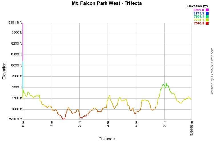
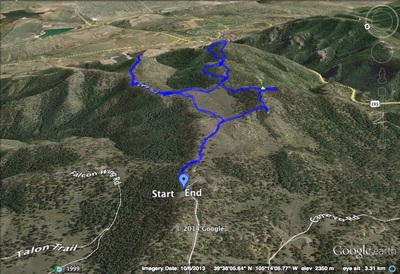
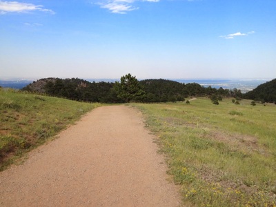
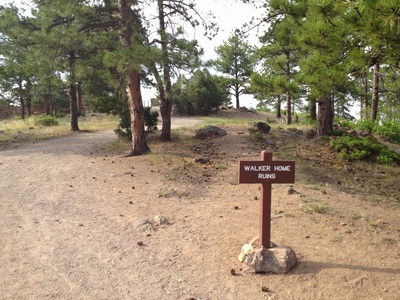
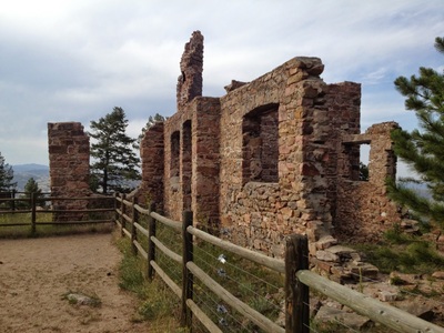
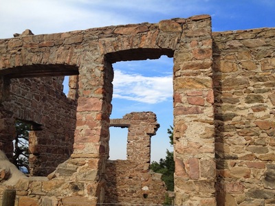
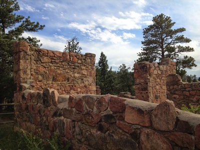
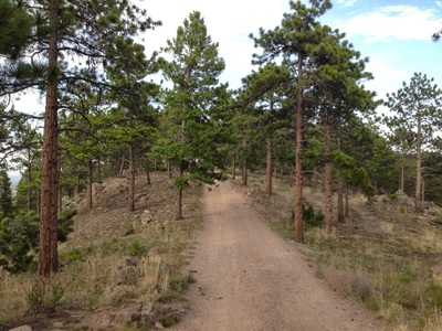
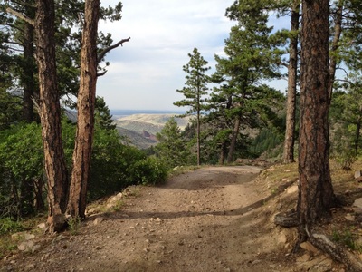
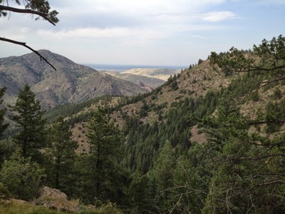
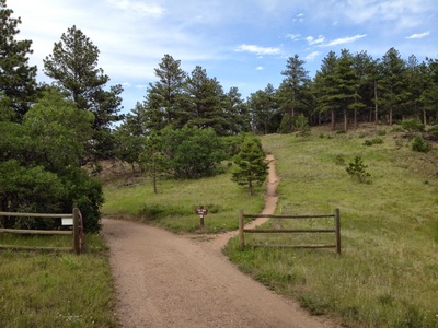
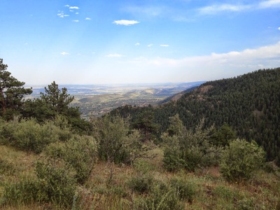
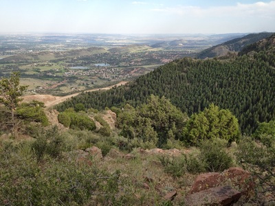
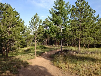
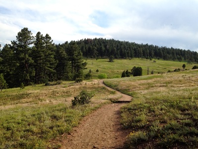
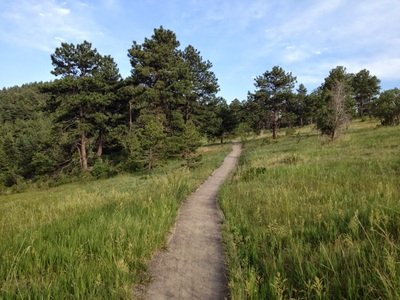
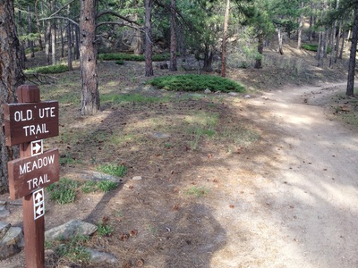
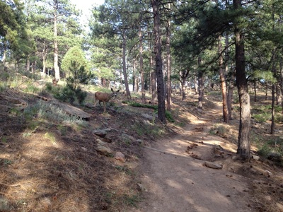
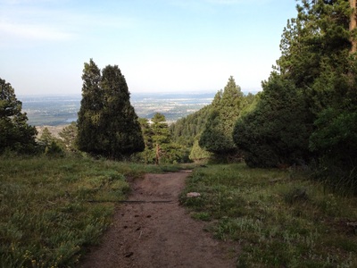
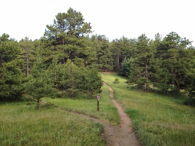
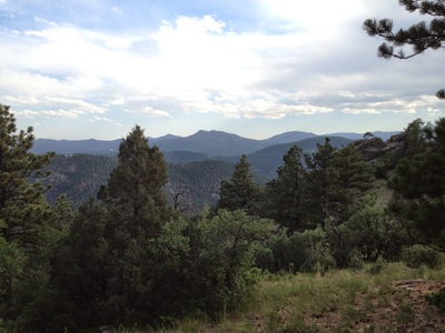
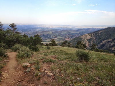
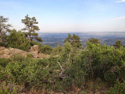
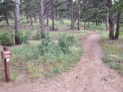
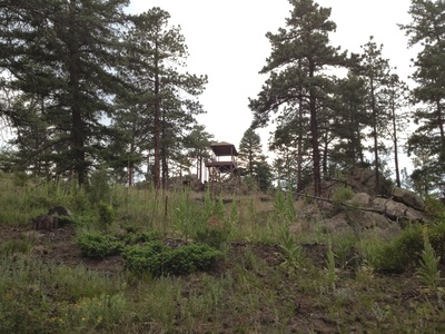
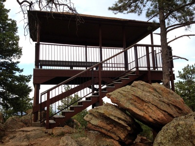
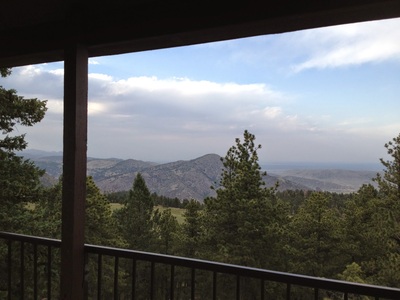
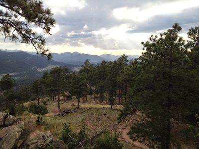
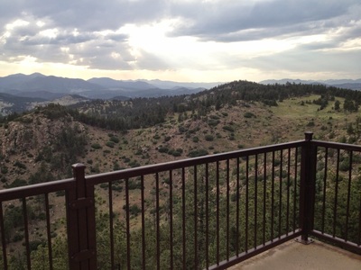
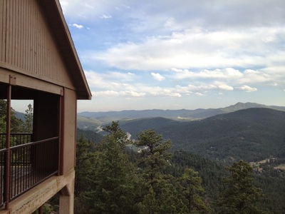
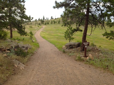
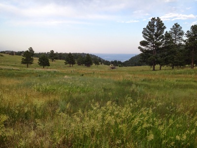
This hike hits the three main attractions on the upper/west side of the Park. If you want a shorter hike from this trailhead, any one of these attractions can be broken down into it's own hike. The hike to the Two Dog Trail is 3.2 mi (RT); the Devil's Elbow is 3.4 mi (RT); and the hike to the Lookout Tower is about 1.5 mi (RT). You can also make any combination of these trails that you like. Start out at the main parking area and follow the Castle Trail down past the Walker Home Ruins. When you get to the junction with the Walker's Dream Trail, hang a right onto the Two Dog Trail. Take this trail for .3 miles to a fantastic viewpoint looking south east down the foothills and into Douglas County. Head back along the Two Dog Trail and the Castle Trail and make a left onto the Meadow Trail. The Meadow Trail takes you to a 5 point intersection, make a left onto the Old Ute Trail. The Old Ute Trail is a small loop, sticking to the right takes you on a steady uphill trail. When the trails meet continue straight to the Devil's Elbow Loop. At the end of the Devil's Loop Trail you are rewarded with another fantastic southeasterly viewpoint. Retrace your steps, completing the two small loops, and when you get back to the 5 point junction take the Tower Trail. The Tower Trail takes you up to the Eagle Eye Shelter and the lookout tower for your third and last fantastic lookout. This view is a westerly view and if the weather is good you'll get a glimpse of Mount Evans and the Continental Divide. From the shelter and lookout tower head down the Tower Trail back to the Castle Trail which leads back to the parking area. Three great viewpoints in one great hike. |
- HOME
- ABOUT
-
HIKES BY REGION
-
NATIONAL PARK HIKES
- BENT'S OLD FORT NATIONAL HISTORIC SITE
- BLACK CANYON OF THE GUNNISON NATIONAL PARK
- COLORADO NATIONAL MONUMENT
- CURECANTI NATIONAL RECREATION AREA
- DINOSAUR NATIONAL MONUMENT
- FLORISSANT FOSSIL BEDS NATIONAL MONUMENT
- MESA VERDE NATIONAL PARK
- ROCKY MOUNTAIN NATIONAL PARK
- GREAT SAND DUNES NATIONAL PARK
- HOVENWEEP NATIONAL MONUMENT
- SAND CREEK MASSACRE NATIONAL HISTORIC SITE
- YUCCA HOUSE NATIONAL MONUMENT
- HIKES BY CATEGORY
- NEWS
- WEBCAMS
- $UPPORT GHC
- INTERACTIVE MAP
The Trifecta
Mount Falcon Park
Date Hiked: June 19, 2012
Distance: 6 mi (RT)

