GO HIKE COLORADO
Get in Touch:
  • HOME
  • ABOUT
  • HIKES BY REGION
    • DENVER AREA >
      • Denver Mountain Parks
      • Jefferson County Open Space
      • Lakewood Parks
      • Denver Area Greenways
    • BOULDER AREA
    • DOUGLAS COUNTY
    • FORT COLLINS AREA
    • COLORADO SPRINGS AREA
    • FRONT RANGE
    • TENMILE & MOSQUITO RANGES
    • GORE RANGE
    • SANGRE DE CRISTO MOUNTAINS
    • PARK RANGE
    • SAWATCH RANGE
    • ELK MOUNTAINS
    • SAN JUAN MOUNTAINS
    • THE FLAT TOPS
    • GRAND MESA
    • COLORADO PLATEAU
    • EASTERN PLAINS
  • NATIONAL PARK HIKES
    • BENT'S OLD FORT NATIONAL HISTORIC SITE
    • BLACK CANYON OF THE GUNNISON NATIONAL PARK
    • COLORADO NATIONAL MONUMENT
    • CURECANTI NATIONAL RECREATION AREA
    • DINOSAUR NATIONAL MONUMENT
    • FLORISSANT FOSSIL BEDS NATIONAL MONUMENT
    • MESA VERDE NATIONAL PARK
    • ROCKY MOUNTAIN NATIONAL PARK
    • GREAT SAND DUNES NATIONAL PARK
    • HOVENWEEP NATIONAL MONUMENT
    • SAND CREEK MASSACRE NATIONAL HISTORIC SITE
    • YUCCA HOUSE NATIONAL MONUMENT
  • HIKES BY CATEGORY
    • HIKES TO ALPINE LAKES
    • HIKES TO PEAKS & PASSES
    • HIKES THROUGH CANYONS
    • HIKES WITH FALL COLORS
    • HIKES ALONG THE I-70 CORRIDOR
    • HIKES ON PAVED TRAILS
    • HIKES FOR KIDS
    • HIKES TO WATERFALLS
    • HIKES ALONG RIVERS
    • HIKES WITH ROCK FORMATIONS
    • HIKES WITH WILDFLOWERS
    • WINTER HIKES
  • NEWS
  • WEBCAMS
  • $UPPORT GHC
  • INTERACTIVE MAP

Belcher Hill Trail (Winter)
White Ranch Park

Date Hiked: December 18, 2016

Distance: 2.3 mi (RT)
Elevation Gain: 470 ft
Elevation Min/Max: 6,123 to 6,554 ft
Trailhead Lat/Long:39º 47' 56" N; 105º 14' 55" W
Managing Agency: Jefferson County Open Space
​Fee: None

White Ranch Park Website
Picture

Directions (From Park's Website): East Access: 5611 Glencoe Valley Road, Golden - Take State Highway 93 north from Golden 1.7 miles to West 56th Avenue. From West 56th Ave. turn right (west) on Pine Ridge Road and travel about 1/8 mile (660 feet) west to the parking lot.

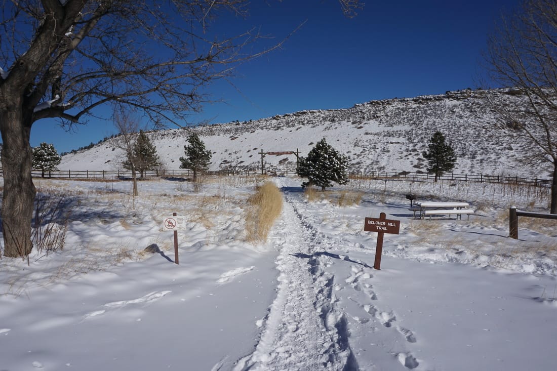
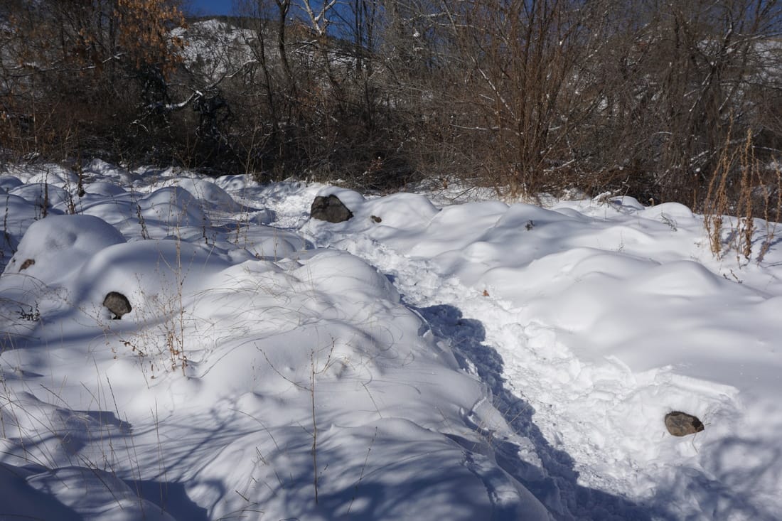
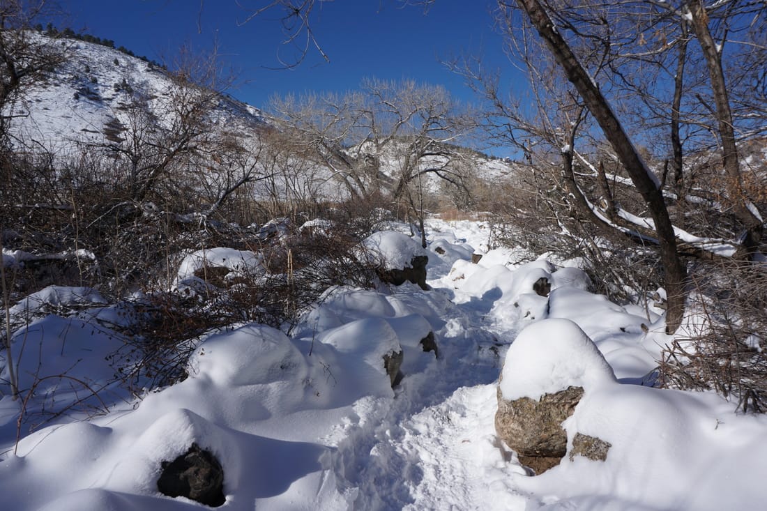
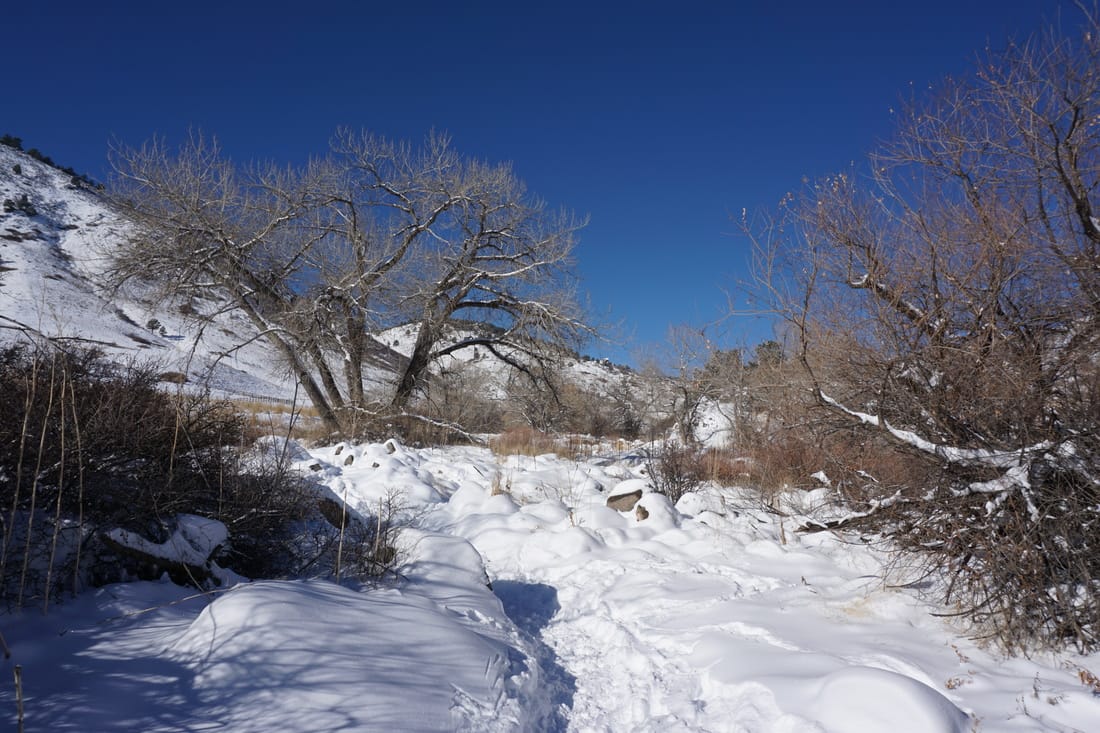
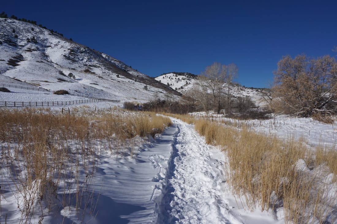
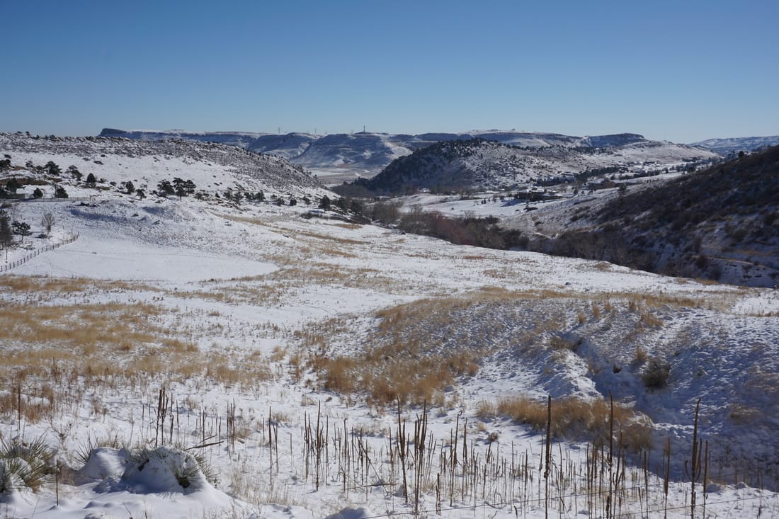
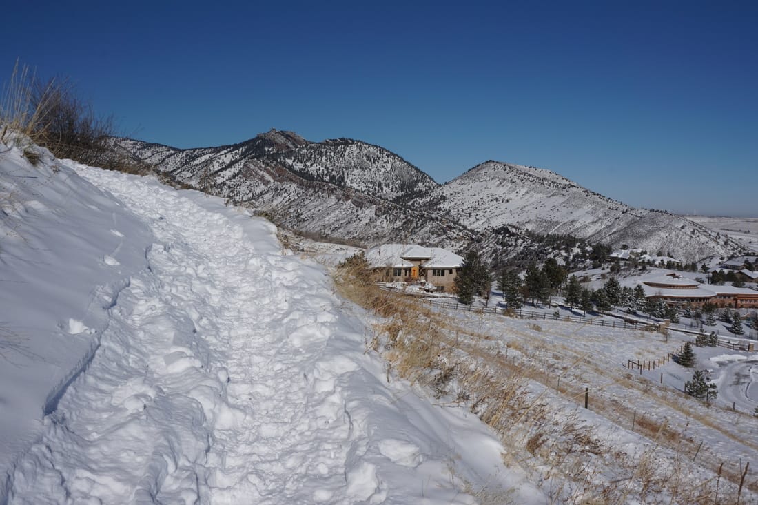
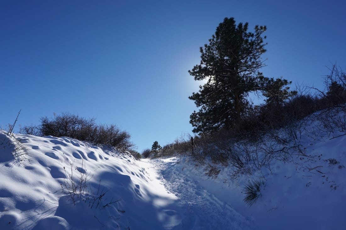
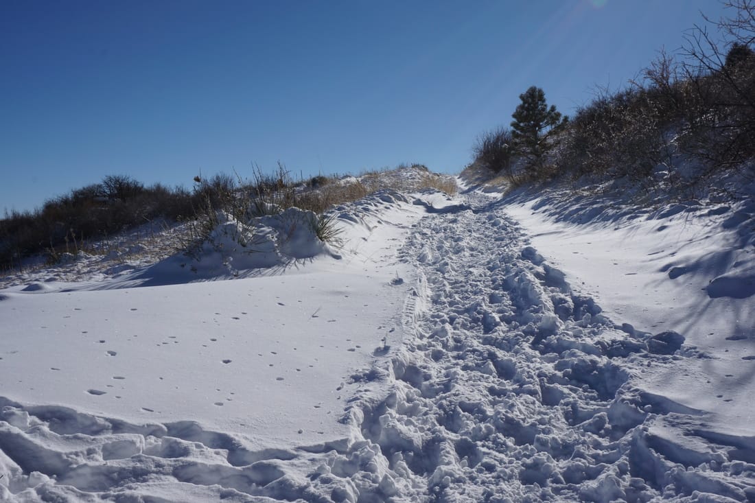
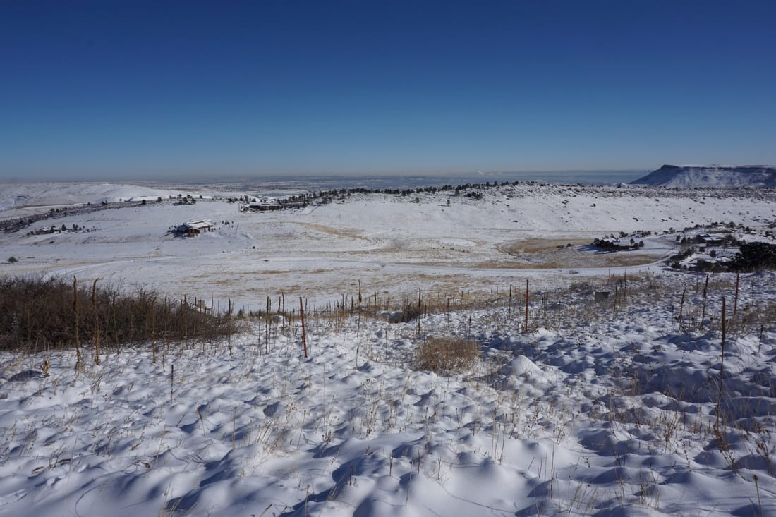
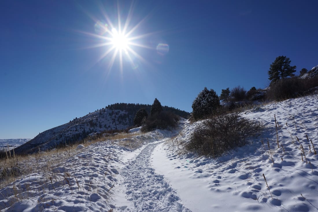
White Ranch Park is a terrific spot for winter hiking and even snowshoeing when the conditions are right.  The East Access area is lower elevation then the rest of the park and easier to access when the conditions are snowy.  

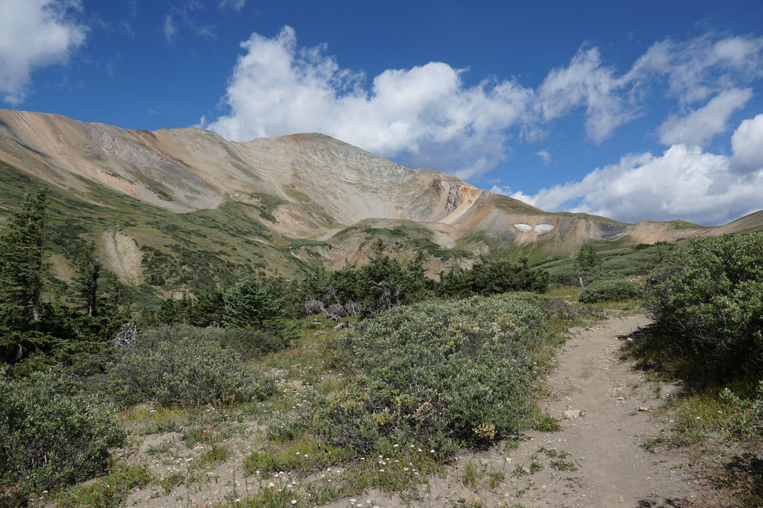
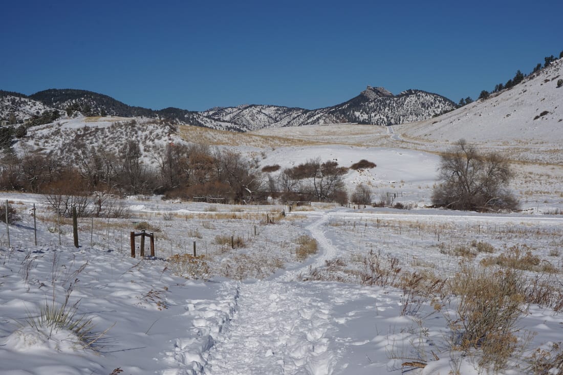
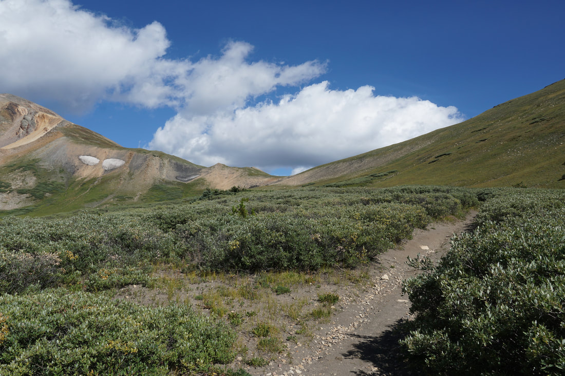
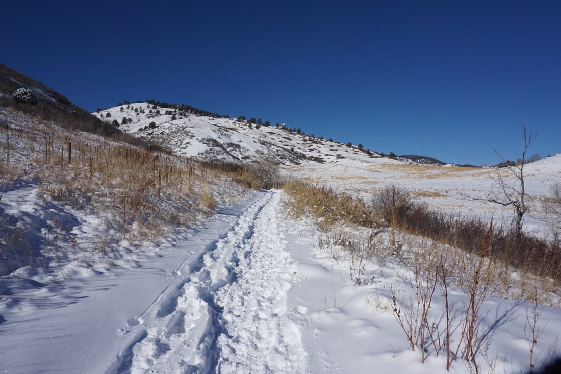
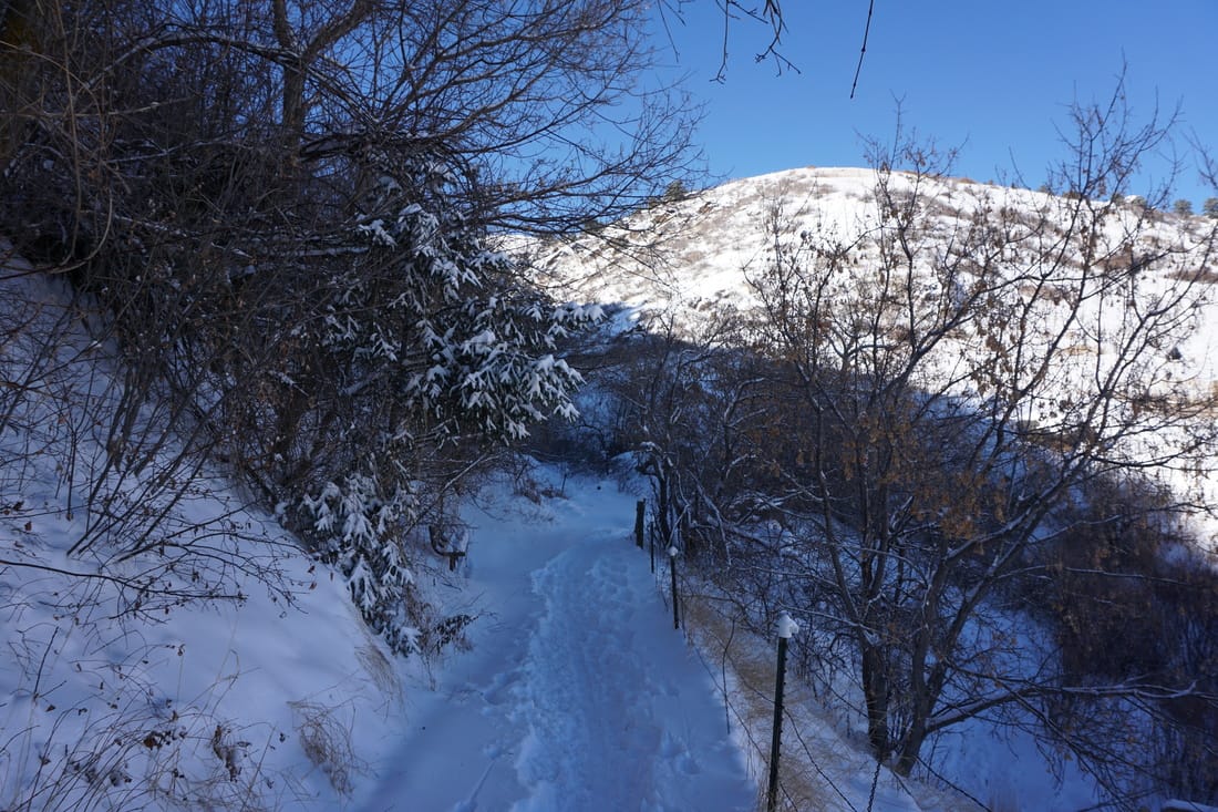
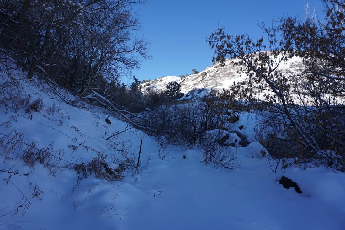
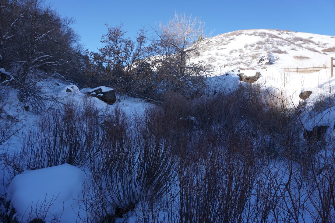
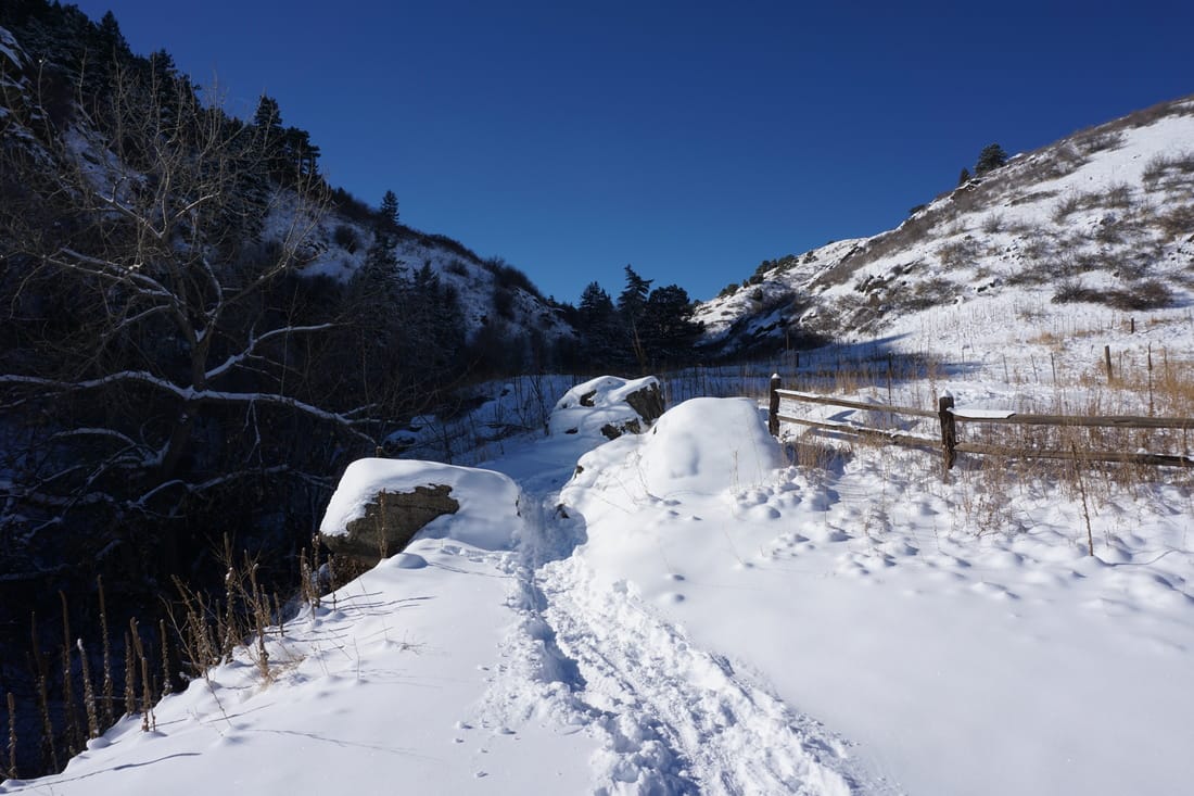
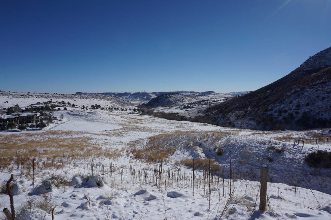
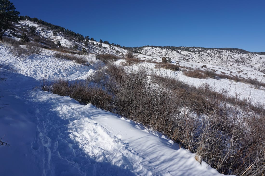
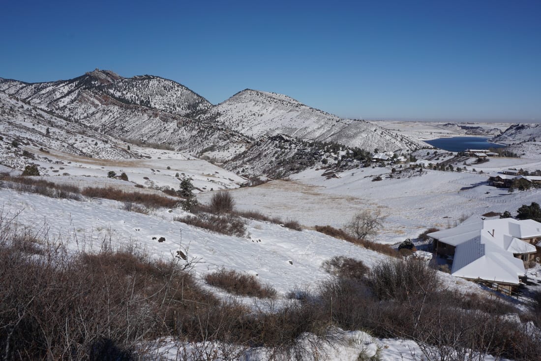
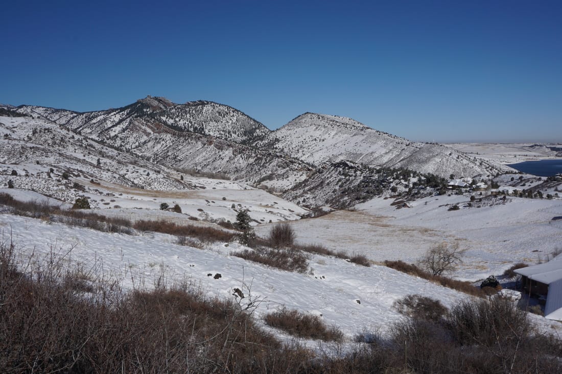
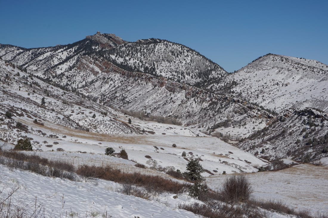
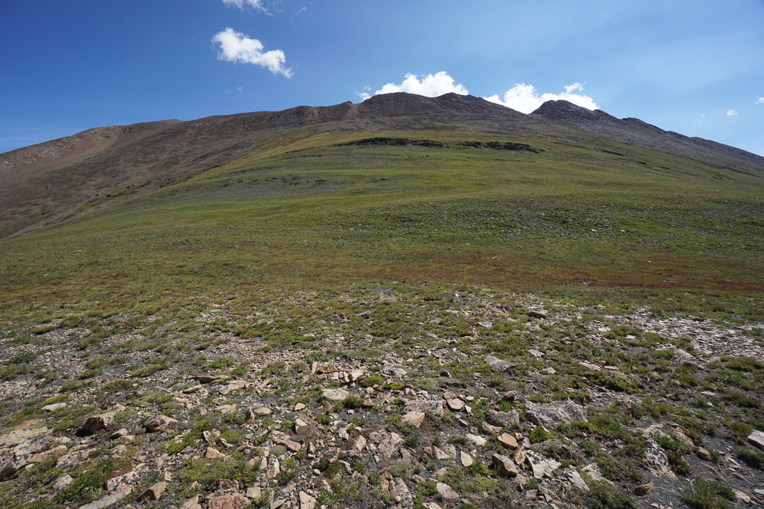
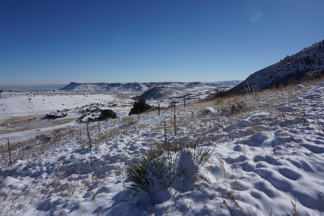
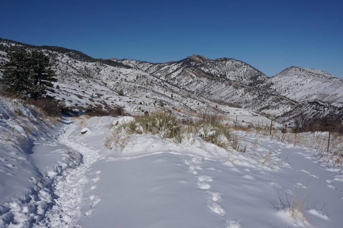
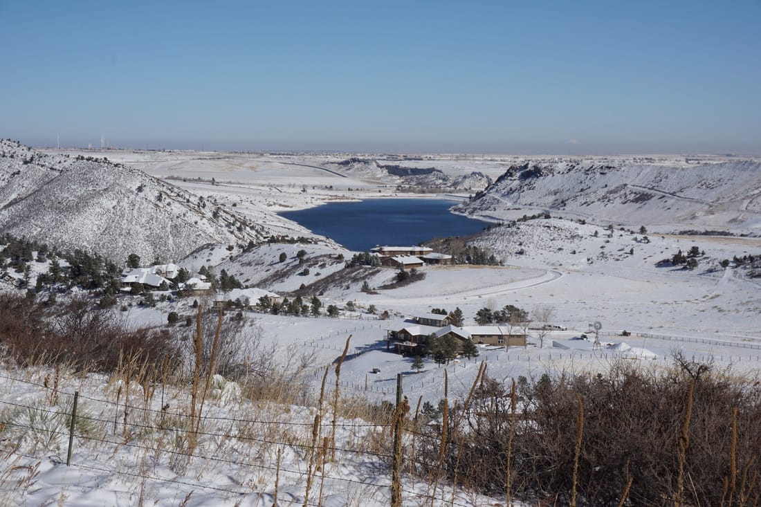
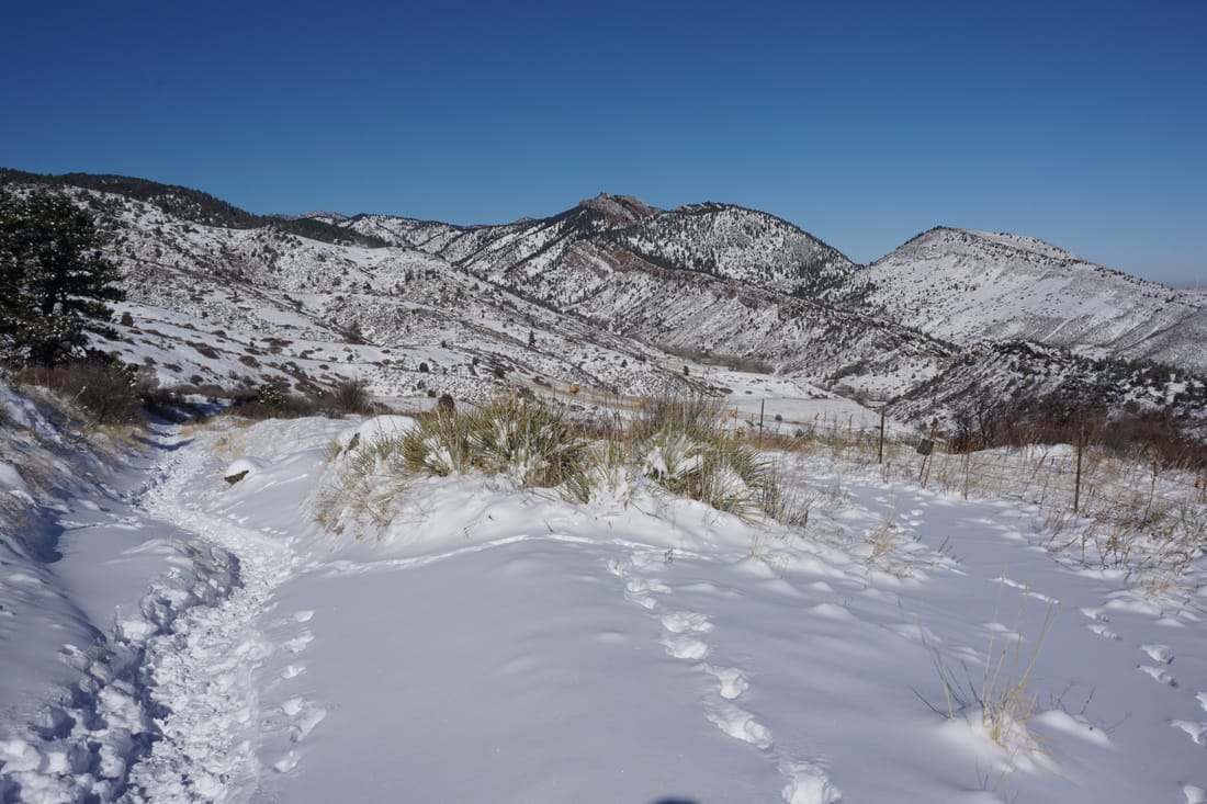
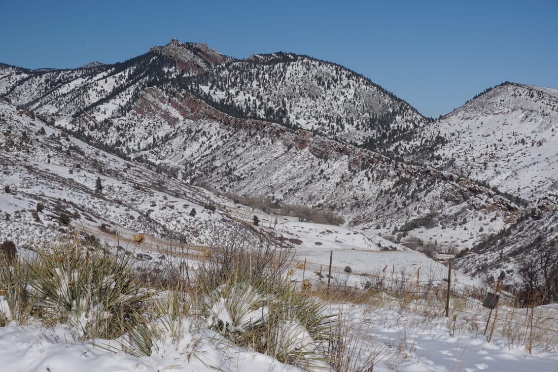
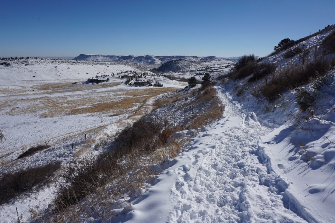
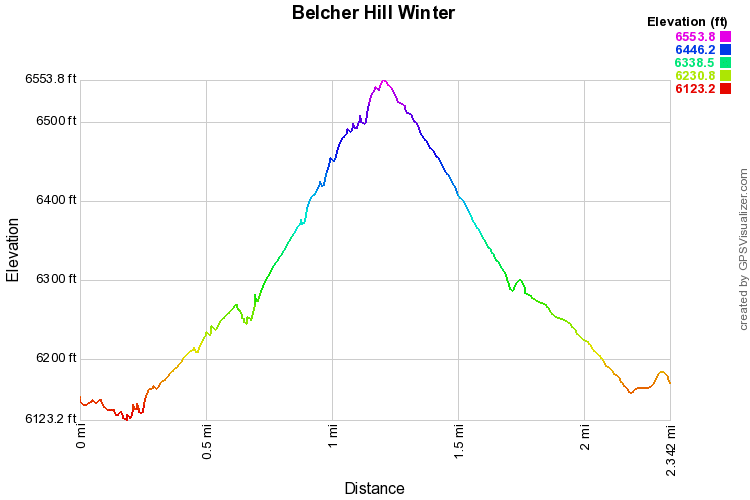
The Belcher Hill Trail is ideal after an early winter snowstorm blankets the area. The trail itself sees enough visitation to almost guarantee a packed (or at least trampled) snow path but it is not as popular as nearby Golden and Boulder hikes.  The first 3/4 of a mile of the trail is relatively flat before gaining some elevation, providing for a good warmup or an easy out and back stroll.  For a longer hike in this part of the park see this description.  

If you just want 2.5 miles of good snow and nice views, then you can hike to the trail junction with the Whippletree Trail.  Just beyond the trail junction (staying on the Belcher HIll Trail) there is a good viewpoint with views of the Table Mountains, Golden, Green Mountain, and Denver beyond.  This marks a good turn around point or you can continue hiking up Belcher Hill or follow some of the trail loops for a longer hike.  
© Go Hike Colorado, 2020.  All Rights Reserved. 
Use of photographs without prior authorization is
​strictly prohibited.


Contact us at:
[email protected]
Legal Disclaimer - Information provided on this site is based upon our own observations, always double check information with the appropriate land management agency before heading into the backcountry.  Backcountry travel is inherently dangerous, please take all proper precautions.  Go Hike Colorado is not responsible for injury or incident.