GO HIKE COLORADO
Get in Touch:
  • HOME
  • ABOUT
  • HIKES BY REGION
    • DENVER AREA >
      • Denver Mountain Parks
      • Jefferson County Open Space
      • Lakewood Parks
      • Denver Area Greenways
    • BOULDER AREA
    • DOUGLAS COUNTY
    • FORT COLLINS AREA
    • COLORADO SPRINGS AREA
    • FRONT RANGE
    • TENMILE & MOSQUITO RANGES
    • GORE RANGE
    • SANGRE DE CRISTO MOUNTAINS
    • PARK RANGE
    • SAWATCH RANGE
    • ELK MOUNTAINS
    • SAN JUAN MOUNTAINS
    • THE FLAT TOPS
    • GRAND MESA
    • COLORADO PLATEAU
    • EASTERN PLAINS
  • NATIONAL PARK HIKES
    • BENT'S OLD FORT NATIONAL HISTORIC SITE
    • BLACK CANYON OF THE GUNNISON NATIONAL PARK
    • COLORADO NATIONAL MONUMENT
    • CURECANTI NATIONAL RECREATION AREA
    • DINOSAUR NATIONAL MONUMENT
    • FLORISSANT FOSSIL BEDS NATIONAL MONUMENT
    • MESA VERDE NATIONAL PARK
    • ROCKY MOUNTAIN NATIONAL PARK
    • GREAT SAND DUNES NATIONAL PARK
    • HOVENWEEP NATIONAL MONUMENT
    • SAND CREEK MASSACRE NATIONAL HISTORIC SITE
    • YUCCA HOUSE NATIONAL MONUMENT
  • HIKES BY CATEGORY
    • HIKES TO ALPINE LAKES
    • HIKES TO PEAKS & PASSES
    • HIKES THROUGH CANYONS
    • HIKES WITH FALL COLORS
    • HIKES ALONG THE I-70 CORRIDOR
    • HIKES ON PAVED TRAILS
    • HIKES FOR KIDS
    • HIKES TO WATERFALLS
    • HIKES ALONG RIVERS
    • HIKES WITH ROCK FORMATIONS
    • HIKES WITH WILDFLOWERS
    • WINTER HIKES
  • NEWS
  • WEBCAMS
  • $UPPORT GHC
  • INTERACTIVE MAP

Longhorn > Maverick > Belcher Hill Loop
White Ranch Park

Date Hiked: September 7, 2012

Distance: 7.8 mi (RT)

  • Elevation Gain: 1,300 ft
  • Elevation Min/Max: 6,175 to 7,439ft
  • Managing Agency: Jefferson County Open Space
  • Fee: None

White Ranch Park Website
Picture

Directions:  From Denver take I-70 west to Hwy 58 west to 93 north.  Turn left on W. 56th Ave for 1 mile to the trailhead and parking area.

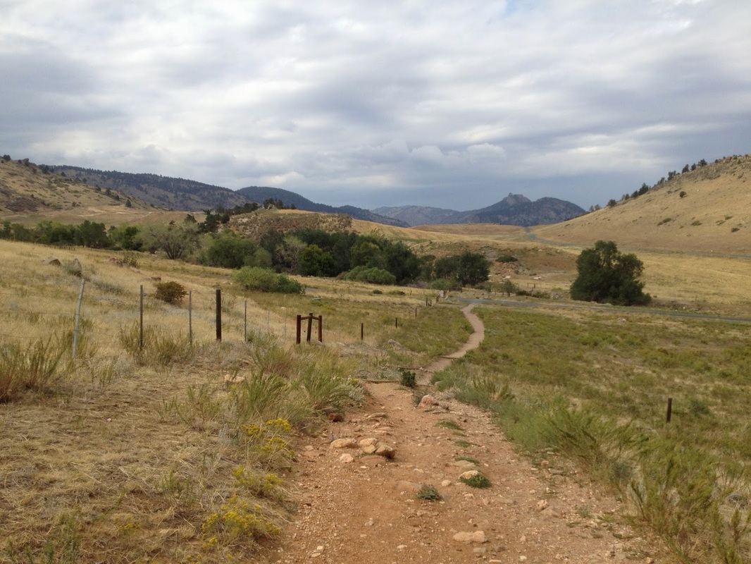
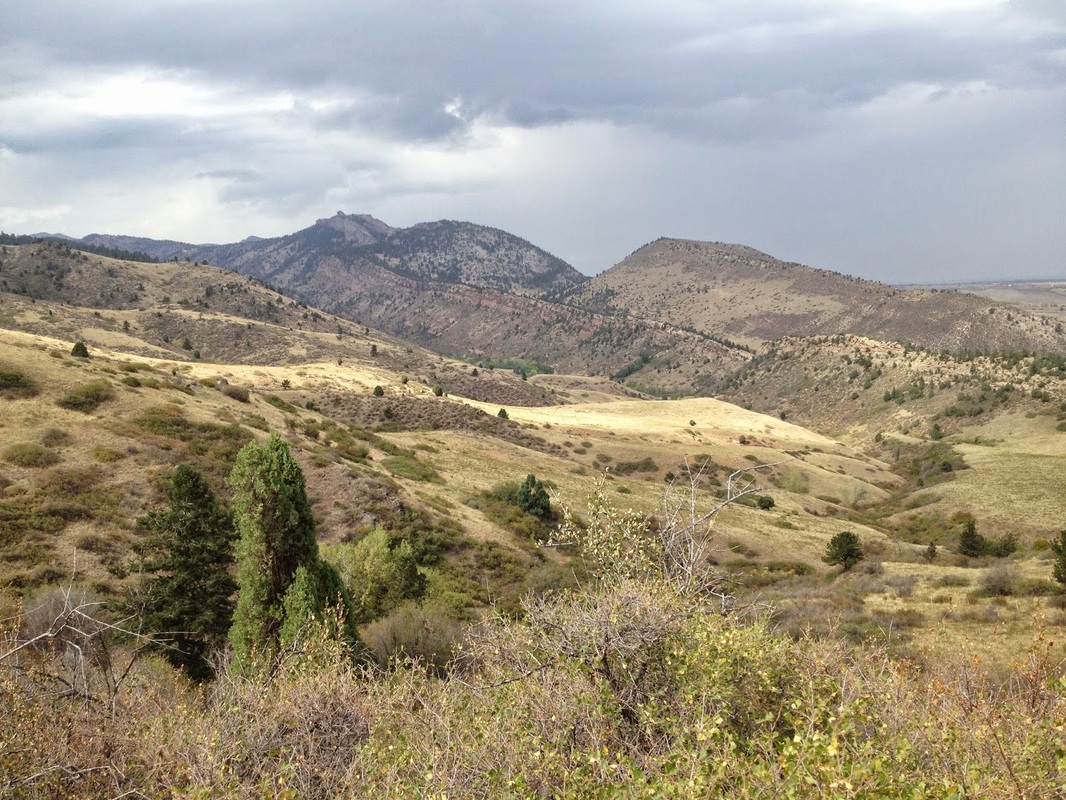
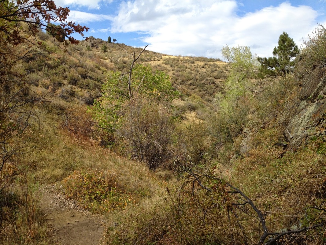
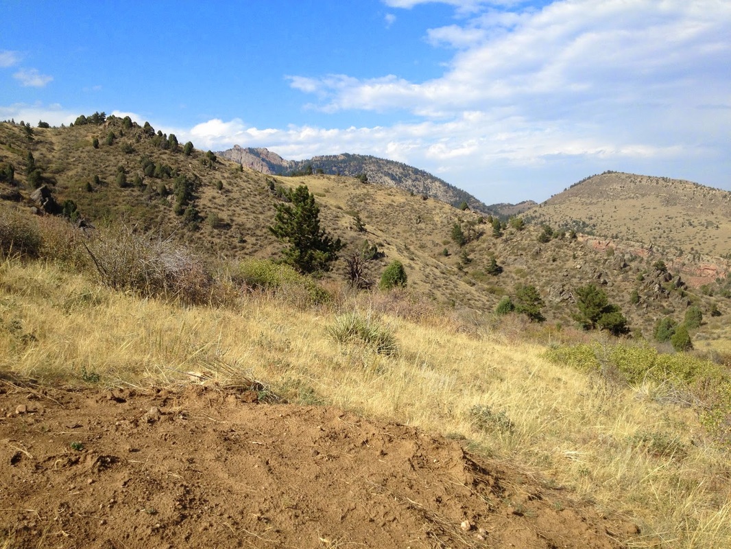
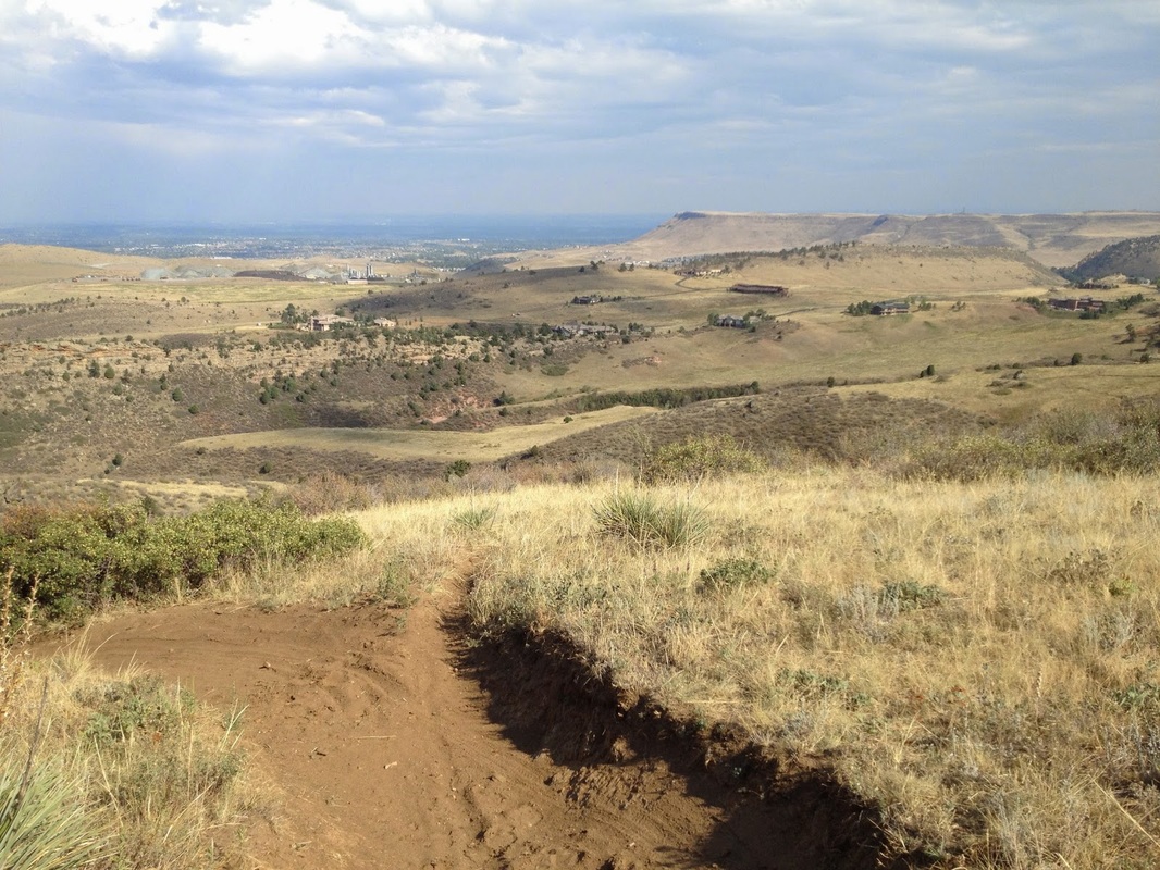
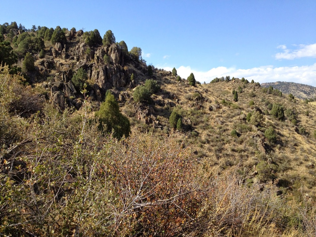
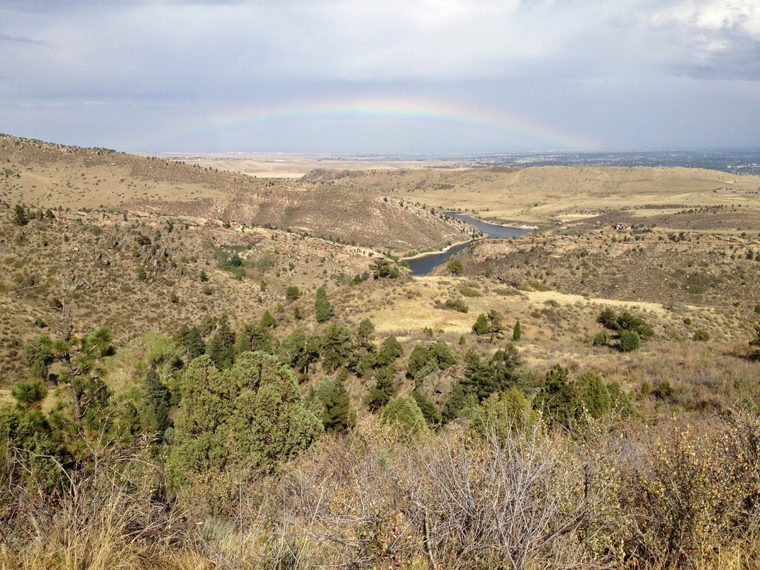
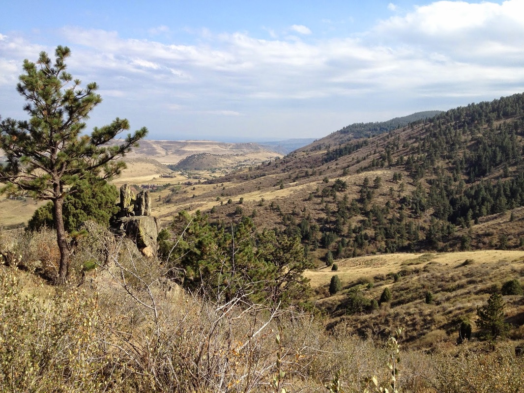
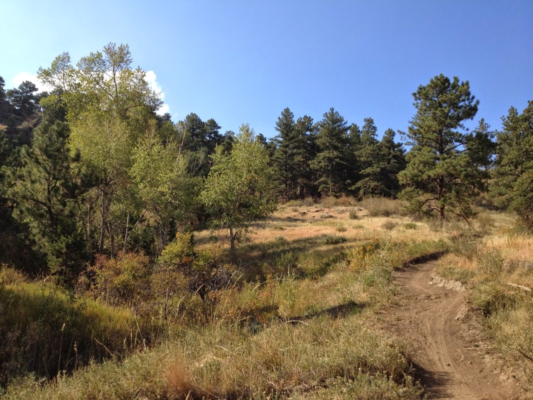
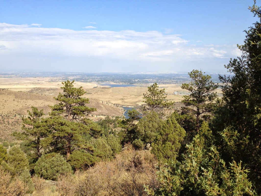
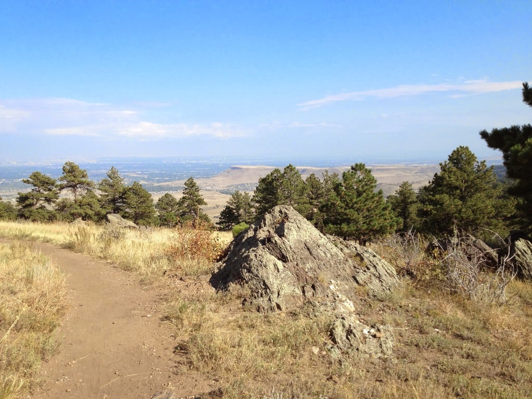
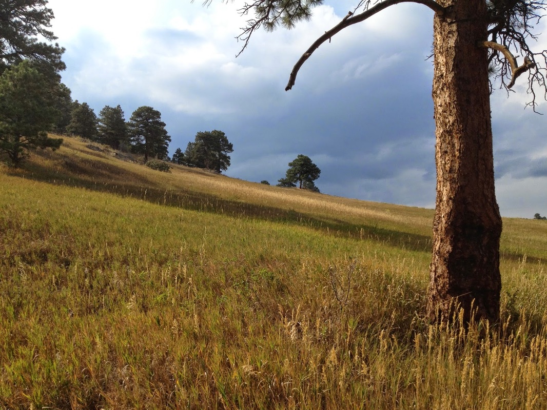
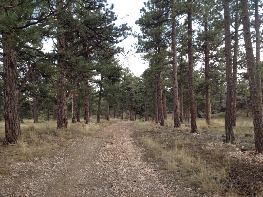
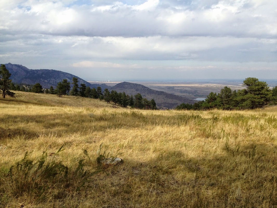
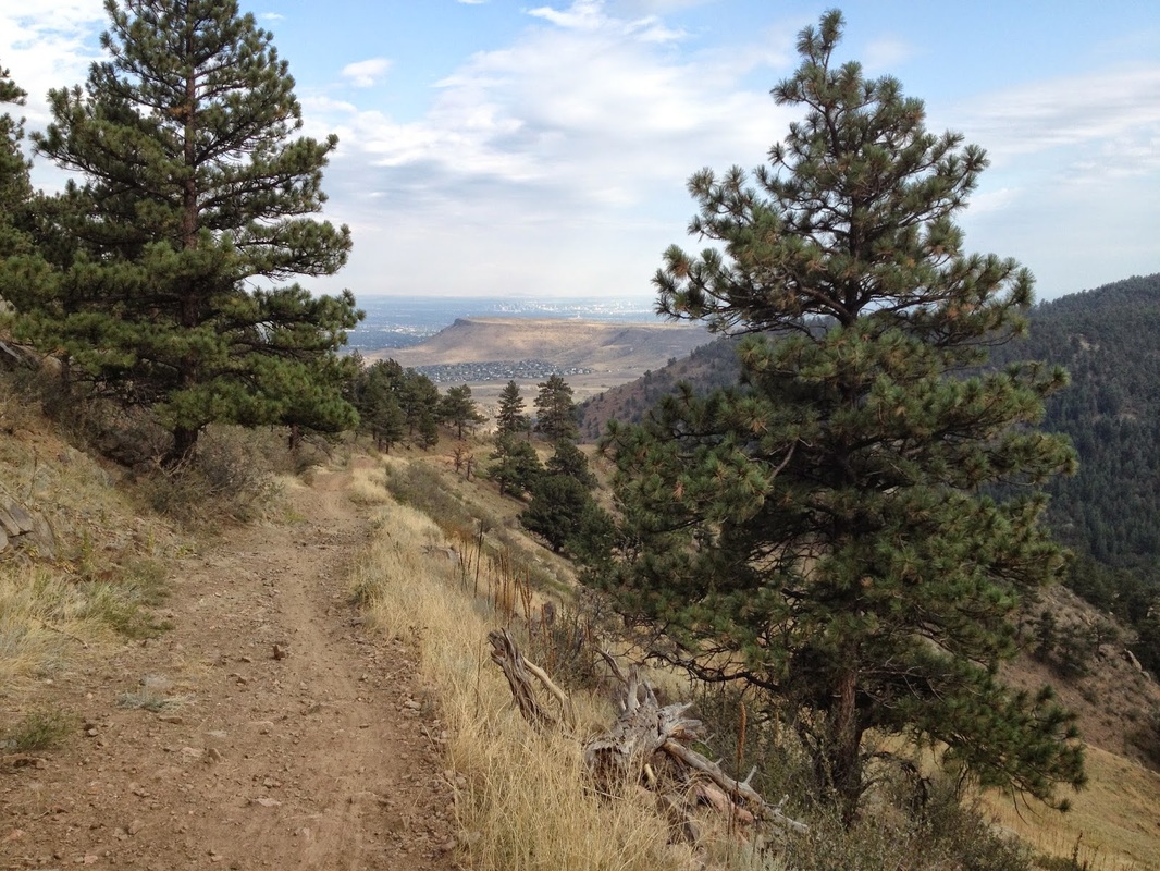
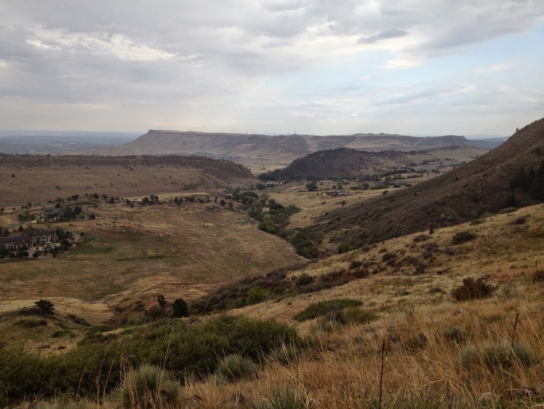
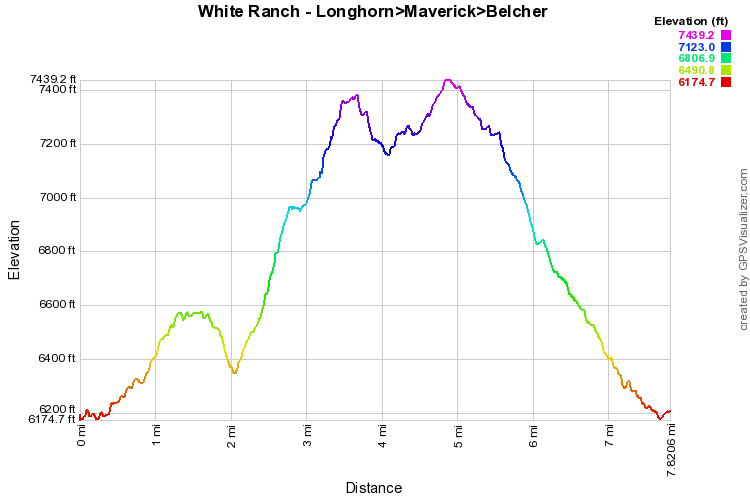
The eastern portion of White Ranch Park is vastly different from the higher elevation of the western portion.  White the western hikes ramble through evergreen forest and meadows, the eastern portion climbs up from the plains through dryer scrub bushes and smaller evergreen trees.  The reward is a fun and challenging hike with a great aerobic workout.

The hike starts at the eastern trailhead and follows the Belcher Hill Trail along the edge of the foothills to the junction with the Whippletree Trail.  Turn right onto Whippletree and zigzag downhill to the Longhorn Trail.  This is where the fun begins.  The trail climbs up, up, and up, switchbacking up the foothills with ever increasing vistas of the red rock hogback to the east.  You gain plenty of elevation here but the trail grade is steady which makes for a fun climb.  If you want to make this a shorter loop, you can take the Shorthorn trail back down, otherwise stay on the Longhorn Trail until it meets up with the Maverick Trail.

Follow the Maverick Trail south rolling along through the meadows and forests with wonderful views to the east.  Once you reach the Belcher Hill Trail, turn left (east) and head down hill.  The Belcher Hill Trail is very popular and you won't be alone here.  However, the trail is very scenic and provides great views of the Table Mountains as you descend back to the Whippletree Junction.  Keep on the Belcher Hill Trail back to the parking area.

With fewer people and a vigorous up-hill workout, eastern White Ranch is a real treat.  You can configure various loops in this area but if you complete the big loop described here, you can drink your post hike beer with pride...and aching legs...
© Go Hike Colorado, 2020.  All Rights Reserved. 
Use of photographs without prior authorization is
​strictly prohibited.


Contact us at:
[email protected]
Legal Disclaimer - Information provided on this site is based upon our own observations, always double check information with the appropriate land management agency before heading into the backcountry.  Backcountry travel is inherently dangerous, please take all proper precautions.  Go Hike Colorado is not responsible for injury or incident.