GO HIKE COLORADO
Get in Touch:
  • HOME
  • ABOUT
  • HIKES BY REGION
    • DENVER AREA >
      • Denver Mountain Parks
      • Jefferson County Open Space
      • Lakewood Parks
      • Denver Area Greenways
    • BOULDER AREA
    • DOUGLAS COUNTY
    • FORT COLLINS AREA
    • COLORADO SPRINGS AREA
    • FRONT RANGE
    • TENMILE & MOSQUITO RANGES
    • GORE RANGE
    • SANGRE DE CRISTO MOUNTAINS
    • PARK RANGE
    • SAWATCH RANGE
    • ELK MOUNTAINS
    • SAN JUAN MOUNTAINS
    • THE FLAT TOPS
    • GRAND MESA
    • COLORADO PLATEAU
    • EASTERN PLAINS
  • NATIONAL PARK HIKES
    • BENT'S OLD FORT NATIONAL HISTORIC SITE
    • BLACK CANYON OF THE GUNNISON NATIONAL PARK
    • COLORADO NATIONAL MONUMENT
    • CURECANTI NATIONAL RECREATION AREA
    • DINOSAUR NATIONAL MONUMENT
    • FLORISSANT FOSSIL BEDS NATIONAL MONUMENT
    • MESA VERDE NATIONAL PARK
    • ROCKY MOUNTAIN NATIONAL PARK
    • GREAT SAND DUNES NATIONAL PARK
    • HOVENWEEP NATIONAL MONUMENT
    • SAND CREEK MASSACRE NATIONAL HISTORIC SITE
    • YUCCA HOUSE NATIONAL MONUMENT
  • HIKES BY CATEGORY
    • HIKES TO ALPINE LAKES
    • HIKES TO PEAKS & PASSES
    • HIKES THROUGH CANYONS
    • HIKES WITH FALL COLORS
    • HIKES ALONG THE I-70 CORRIDOR
    • HIKES ON PAVED TRAILS
    • HIKES FOR KIDS
    • HIKES TO WATERFALLS
    • HIKES ALONG RIVERS
    • HIKES WITH ROCK FORMATIONS
    • HIKES WITH WILDFLOWERS
    • WINTER HIKES
  • NEWS
  • WEBCAMS
  • $UPPORT GHC
  • INTERACTIVE MAP

Cathy Johnson Trail
Ken Caryl Ranch Open Space

Date Hiked: May 31, 2013


  • Distance: 3 mi (RT)
  • Elevation Gain: 500ft
  • Elevation Min/Max: 5,696 to 6,157ft
  • Managing Agency: Ken Caryl Ranch Metropolitan Recreation District
  • Fee: None

Ken Caryl Ranch OS Trail Map
Picture

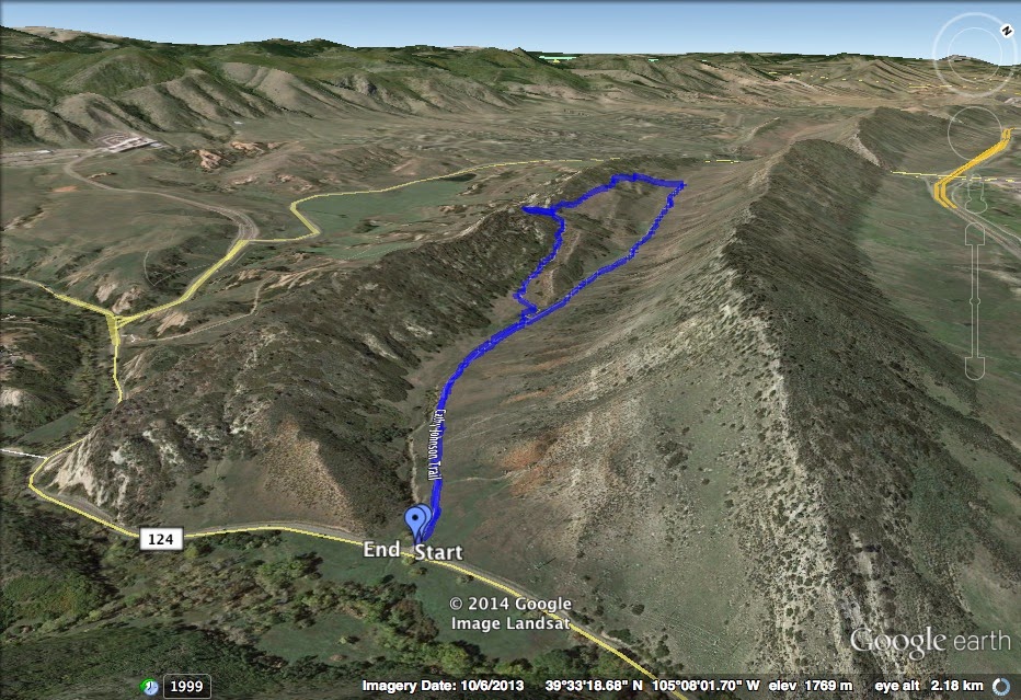
Directions:  This trail can be hiked starting at either South Valley Road or Deer Creek Canyon Road.  From Denver take I-70 west to C470 east.  Exit Ken Caryl Ave and make a left on S. Valley Road or take C470 to Deer Creek Canyon road west to the trailhead.


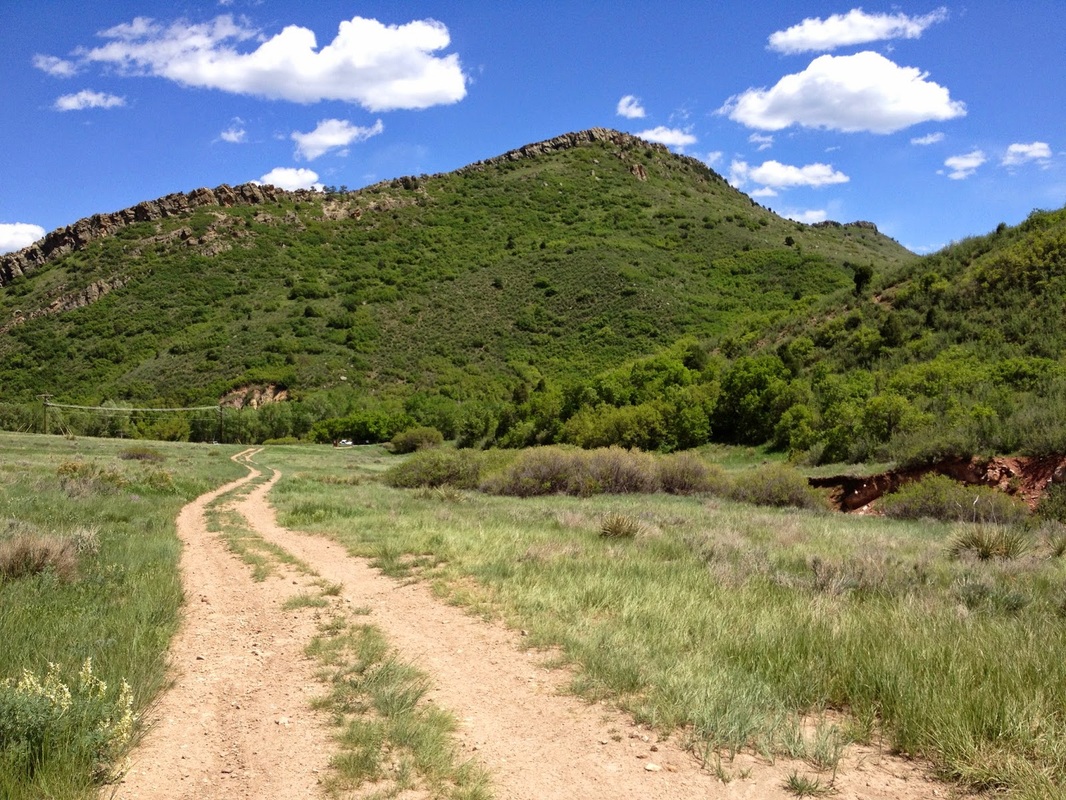
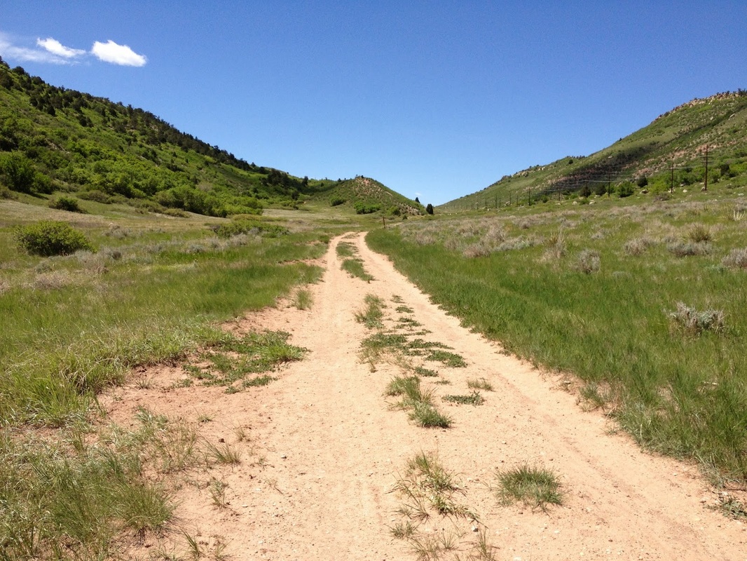
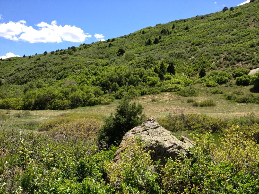
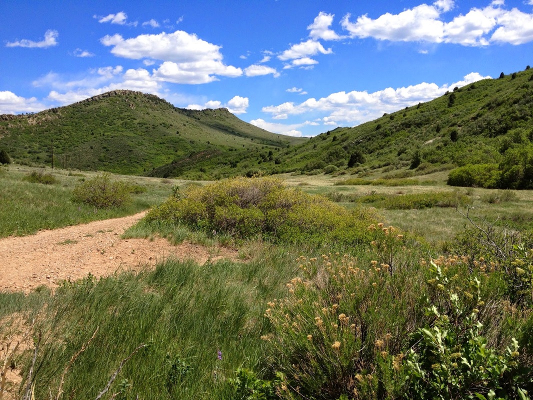
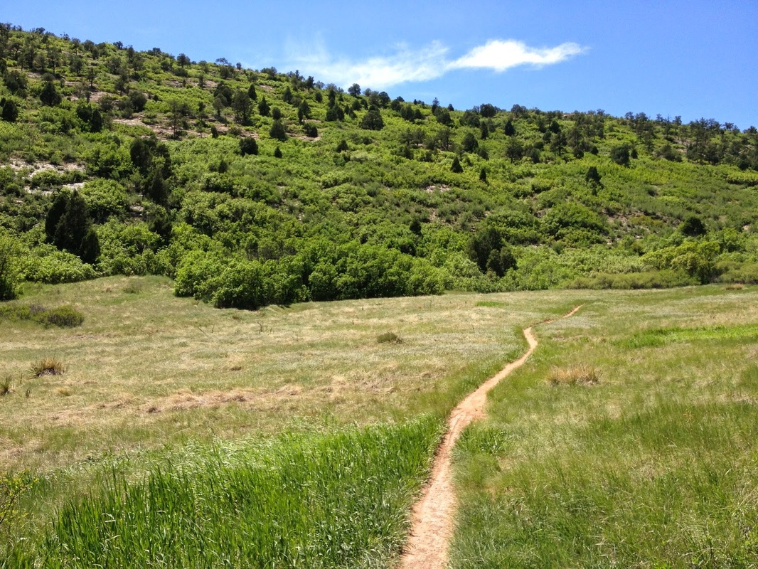
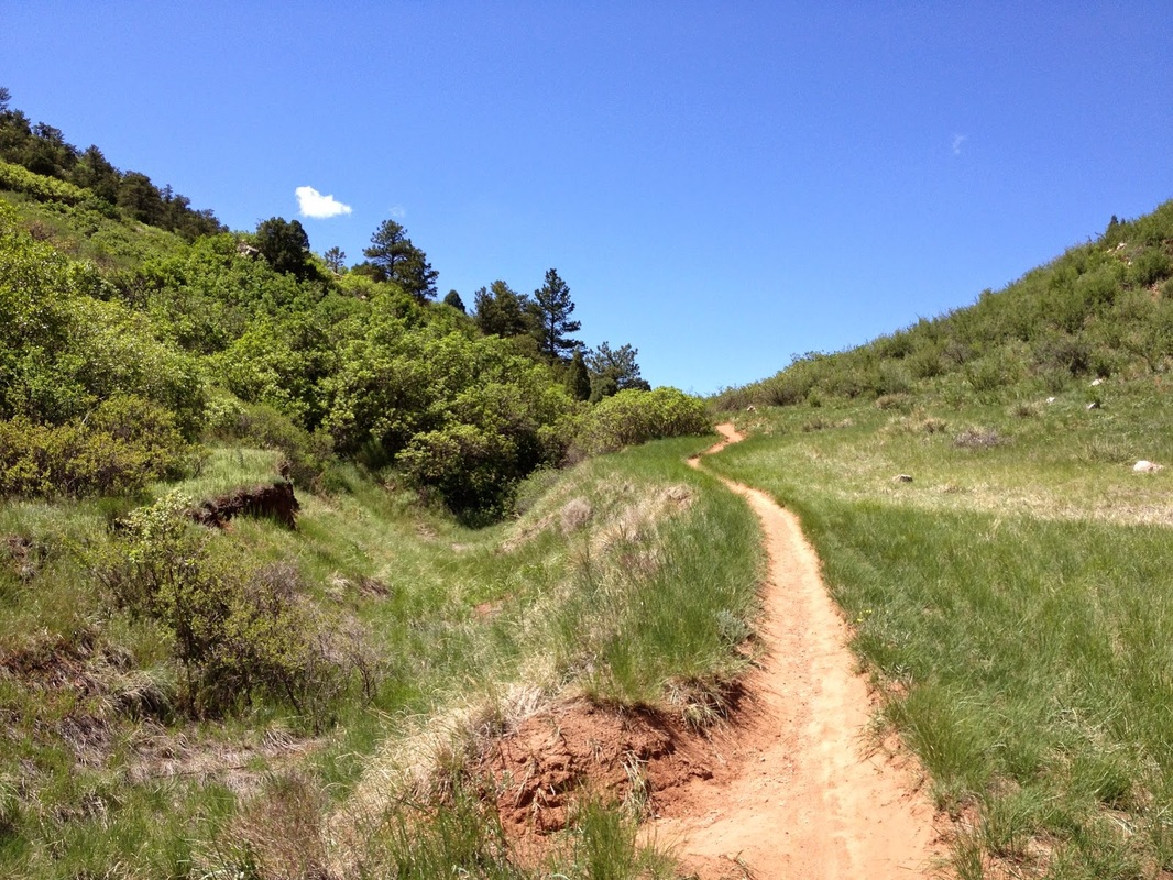
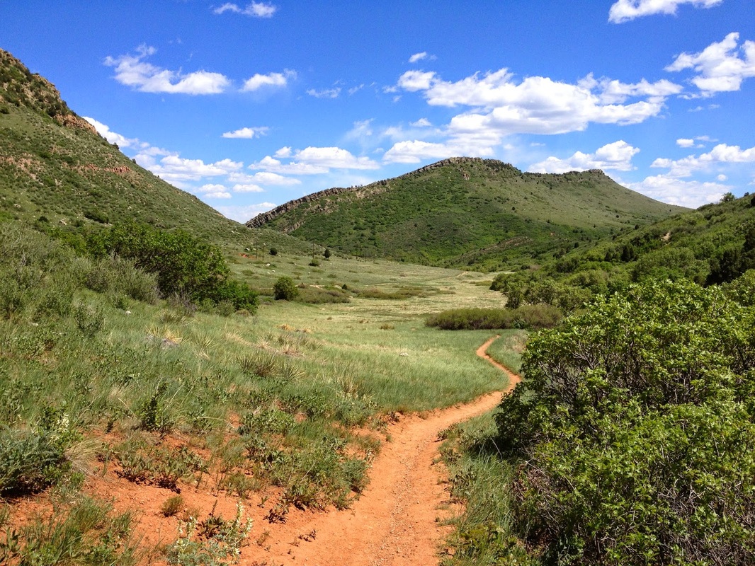
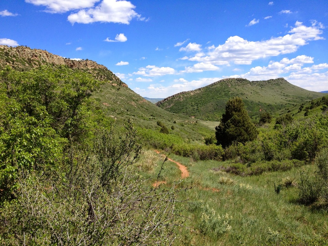
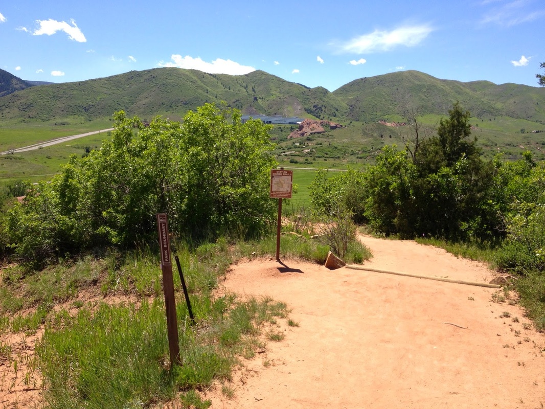
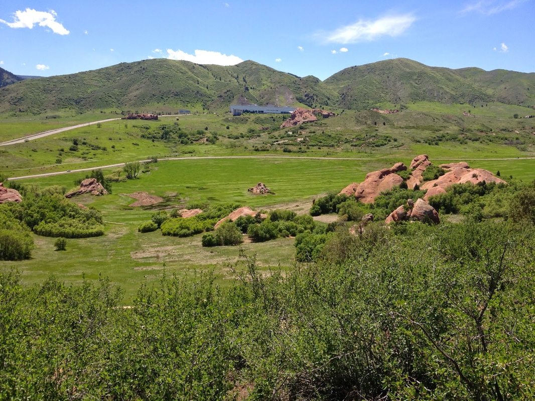
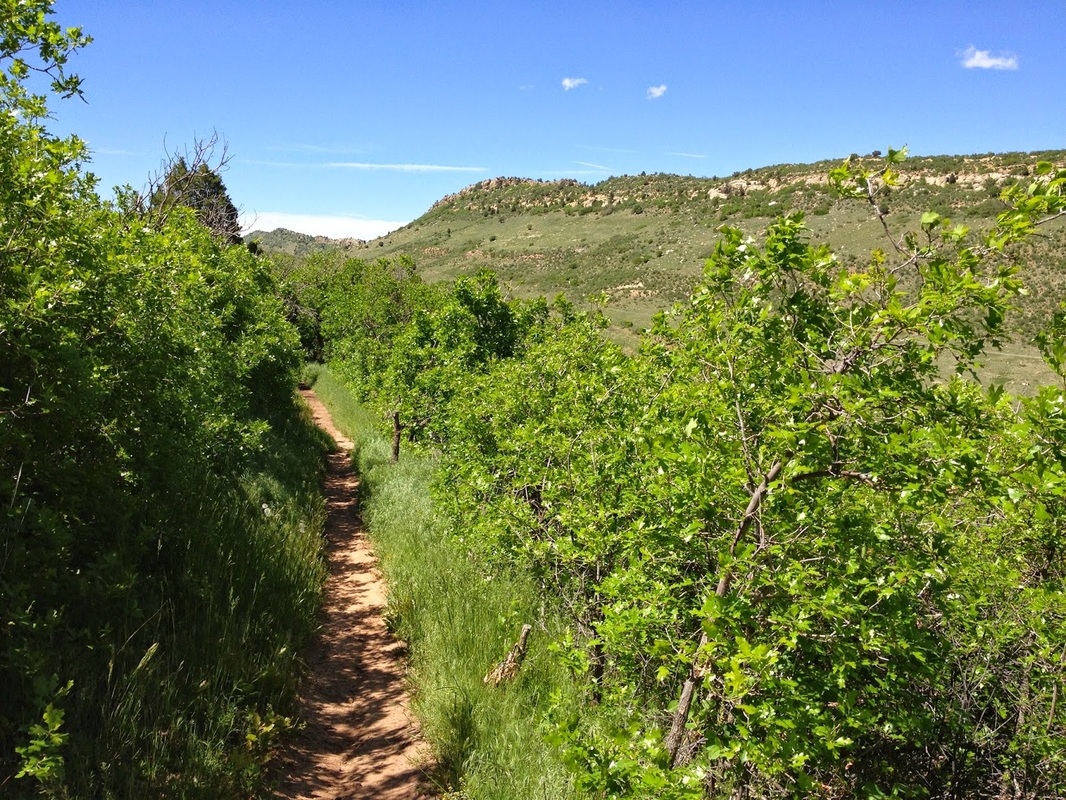
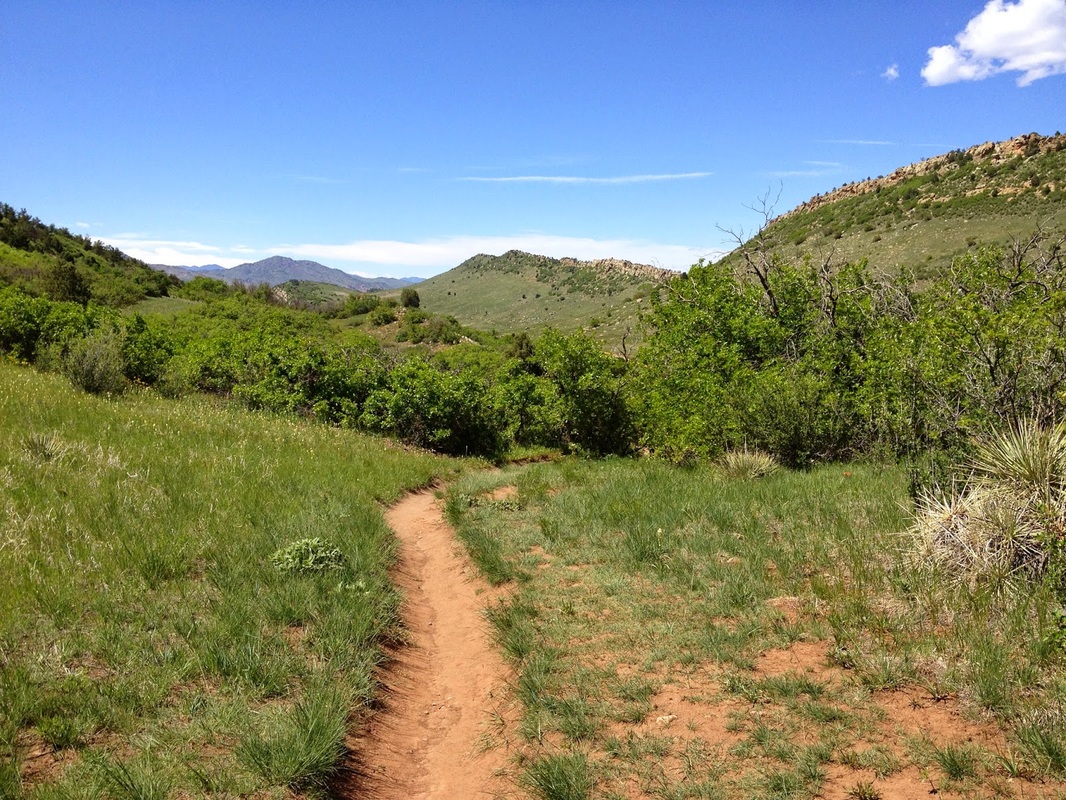
Yes, Ken Caryl has an open space system...no, you can't hike there.  Unfortunately the hiking trails at Ken Caryl are for residents only, not open to the public...except for the Cathy Johnson Trail.  This trail is adjacent to and connects to South Valley Park.  The trail is a straight shot from S. Valley Rd to Deer Creek Rd sandwiched between 2 hogbacks, and surprisingly scenic.  The Columbine trail loops off of the main trail and heads up to a connector with South Valley.  It also makes for a good balloon loop.  Take the Columbine trail up the hogback to a great view point down into South Valley and the impressive red rock formations. 
© Go Hike Colorado, 2020.  All Rights Reserved. 
Use of photographs without prior authorization is
​strictly prohibited.


Contact us at:
[email protected]
Legal Disclaimer - Information provided on this site is based upon our own observations, always double check information with the appropriate land management agency before heading into the backcountry.  Backcountry travel is inherently dangerous, please take all proper precautions.  Go Hike Colorado is not responsible for injury or incident.