GO HIKE COLORADO
Get in Touch:
  • HOME
  • ABOUT
  • HIKES BY REGION
    • DENVER AREA >
      • Denver Mountain Parks
      • Jefferson County Open Space
      • Lakewood Parks
      • Denver Area Greenways
    • BOULDER AREA
    • DOUGLAS COUNTY
    • FORT COLLINS AREA
    • COLORADO SPRINGS AREA
    • FRONT RANGE
    • TENMILE & MOSQUITO RANGES
    • GORE RANGE
    • SANGRE DE CRISTO MOUNTAINS
    • PARK RANGE
    • SAWATCH RANGE
    • ELK MOUNTAINS
    • SAN JUAN MOUNTAINS
    • THE FLAT TOPS
    • GRAND MESA
    • COLORADO PLATEAU
    • EASTERN PLAINS
  • NATIONAL PARK HIKES
    • BENT'S OLD FORT NATIONAL HISTORIC SITE
    • BLACK CANYON OF THE GUNNISON NATIONAL PARK
    • COLORADO NATIONAL MONUMENT
    • CURECANTI NATIONAL RECREATION AREA
    • DINOSAUR NATIONAL MONUMENT
    • FLORISSANT FOSSIL BEDS NATIONAL MONUMENT
    • MESA VERDE NATIONAL PARK
    • ROCKY MOUNTAIN NATIONAL PARK
    • GREAT SAND DUNES NATIONAL PARK
    • HOVENWEEP NATIONAL MONUMENT
    • SAND CREEK MASSACRE NATIONAL HISTORIC SITE
    • YUCCA HOUSE NATIONAL MONUMENT
  • HIKES BY CATEGORY
    • HIKES TO ALPINE LAKES
    • HIKES TO PEAKS & PASSES
    • HIKES THROUGH CANYONS
    • HIKES WITH FALL COLORS
    • HIKES ALONG THE I-70 CORRIDOR
    • HIKES ON PAVED TRAILS
    • HIKES FOR KIDS
    • HIKES TO WATERFALLS
    • HIKES ALONG RIVERS
    • HIKES WITH ROCK FORMATIONS
    • HIKES WITH WILDFLOWERS
    • WINTER HIKES
  • NEWS
  • WEBCAMS
  • $UPPORT GHC
  • INTERACTIVE MAP

Rim Rock Trail
North Table Mountain Park

Date Hiked: December 23, 2018

Trail Closure - Feb 1st to July 31st

Distance: 4.7 mi (RT)
Elevation Gain: 950 ft
Elevation Min/Max: 5,658 to 6,531 ft
Trailhead Lat/Long: 39º 46' 46" N; 105º 11' 26" W
Managing Agency: Jefferson County Open Space
Fee: None

North Table Mountain Park Website
Picture

Directions:  From Denver, take I-70 west to Hwy 58 west.  Exit at McIntyre Street and turn right (north).  Turn left (west) on W. 44th Ave and right on Easley Road.  The Trailhead will be up on your left and the parking pull-out is on the right.

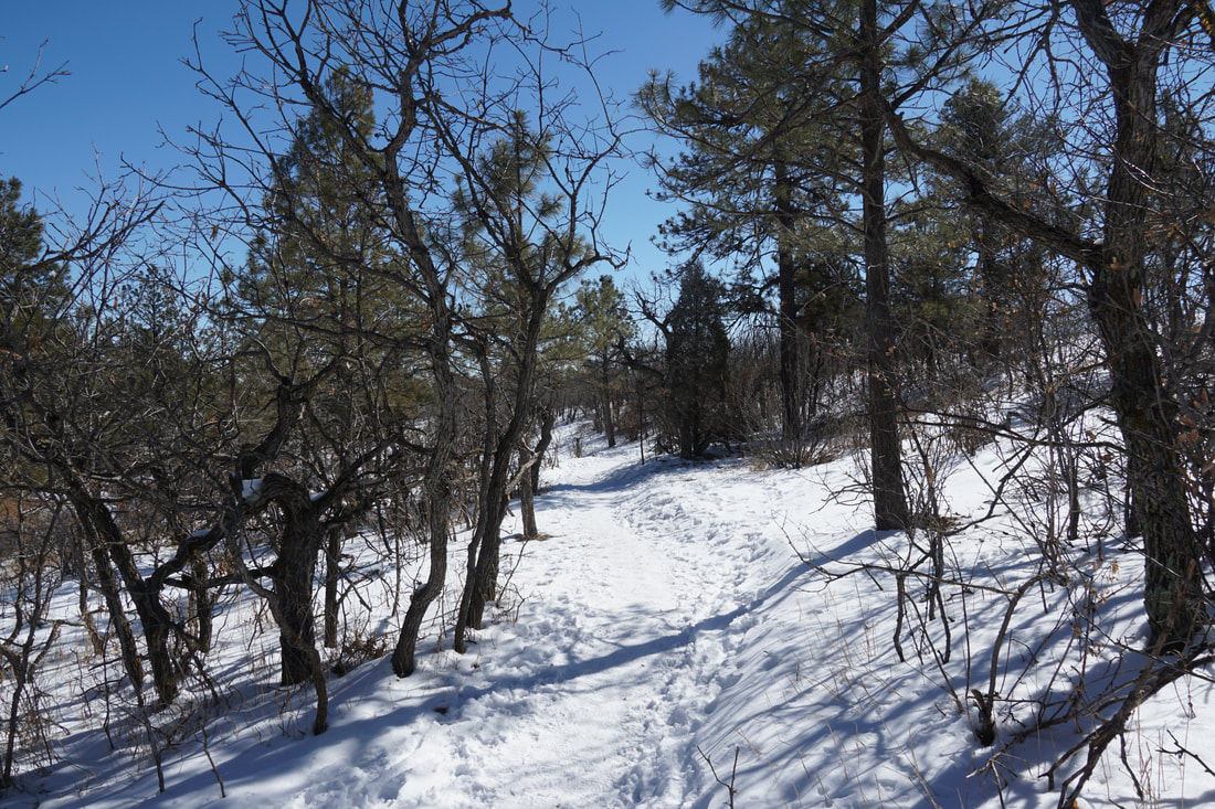
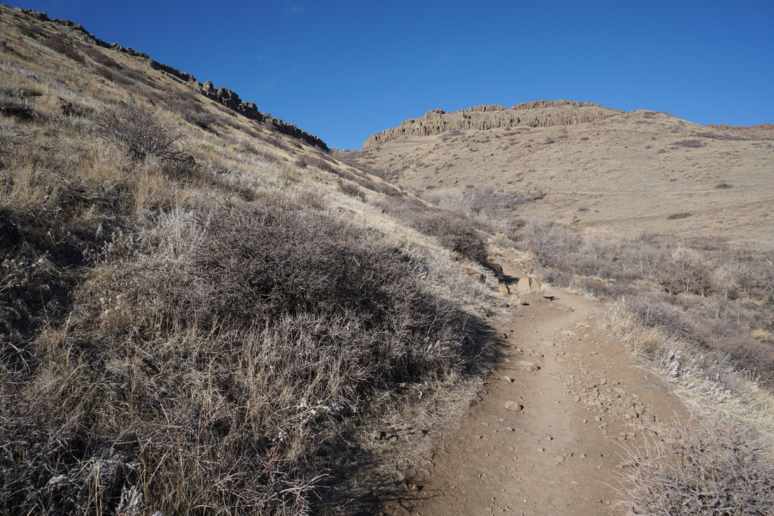
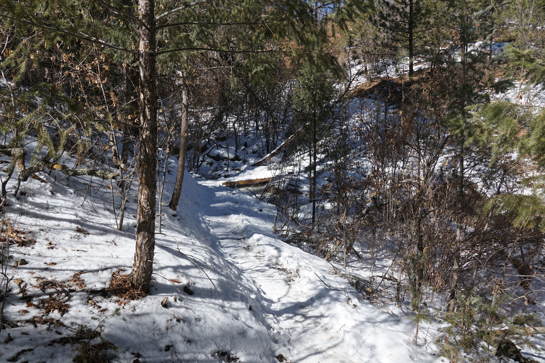
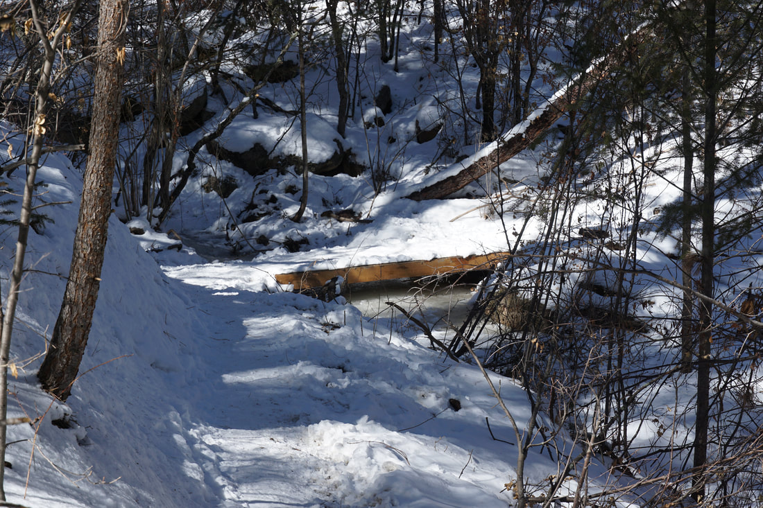
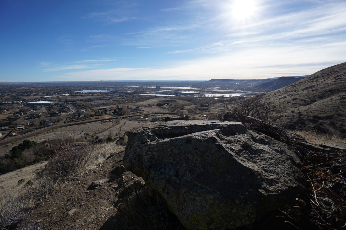
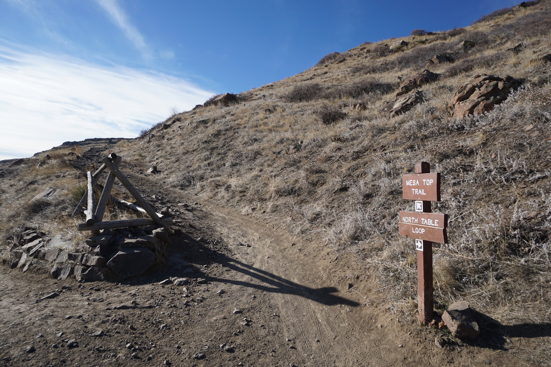
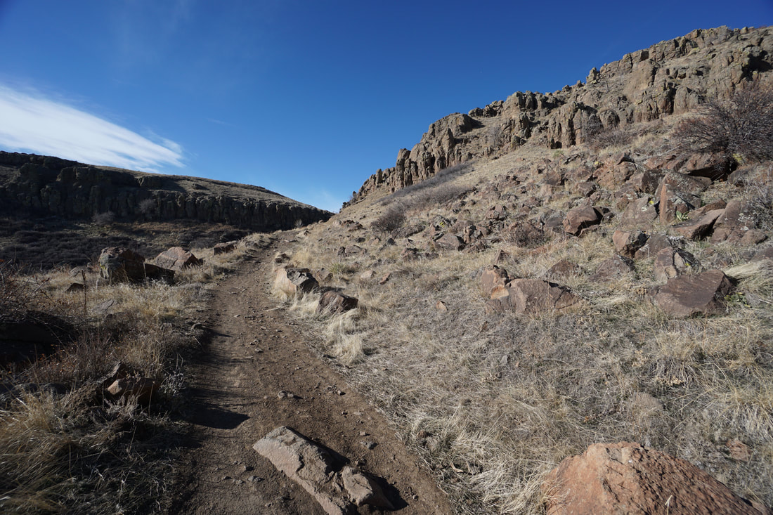
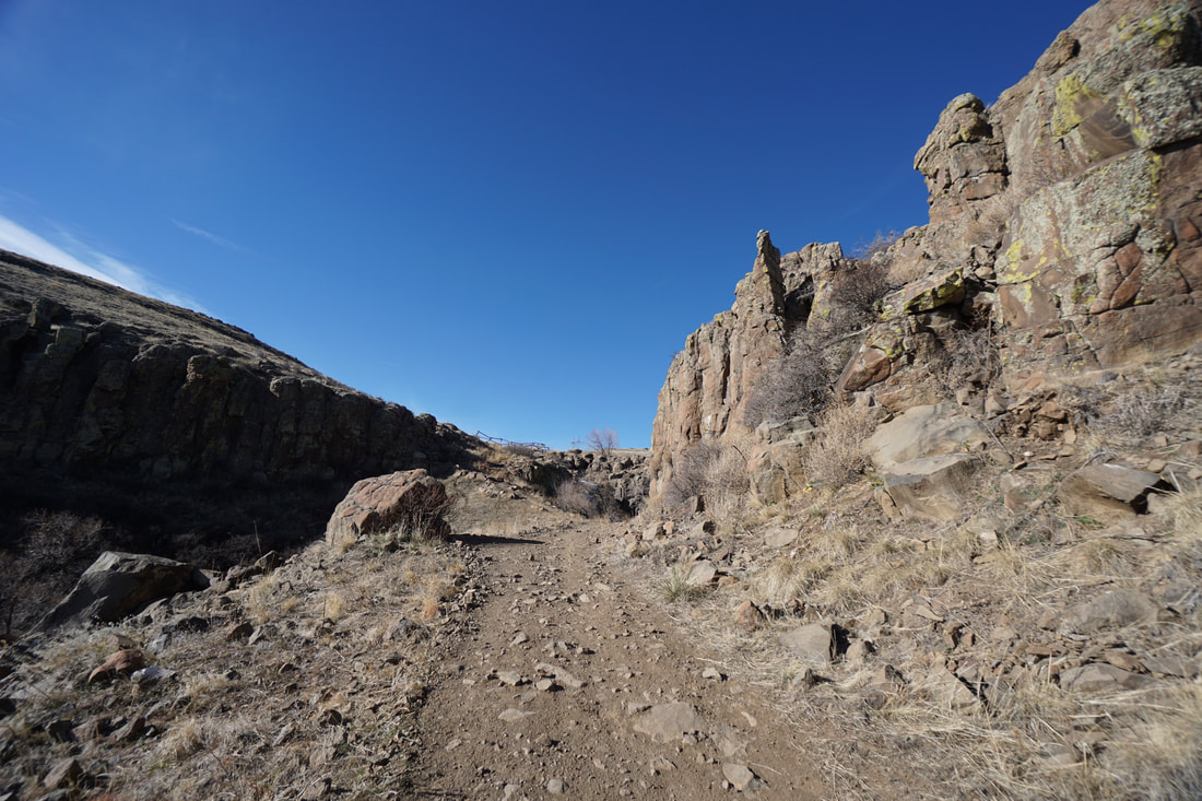
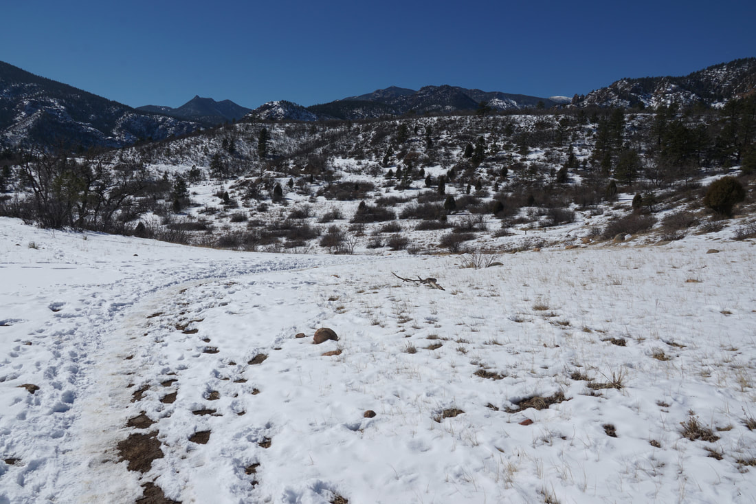
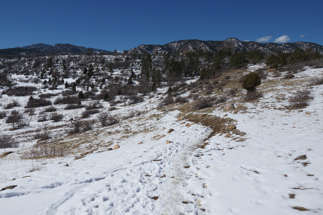
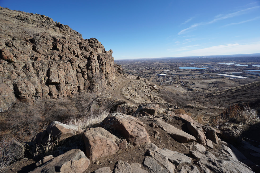
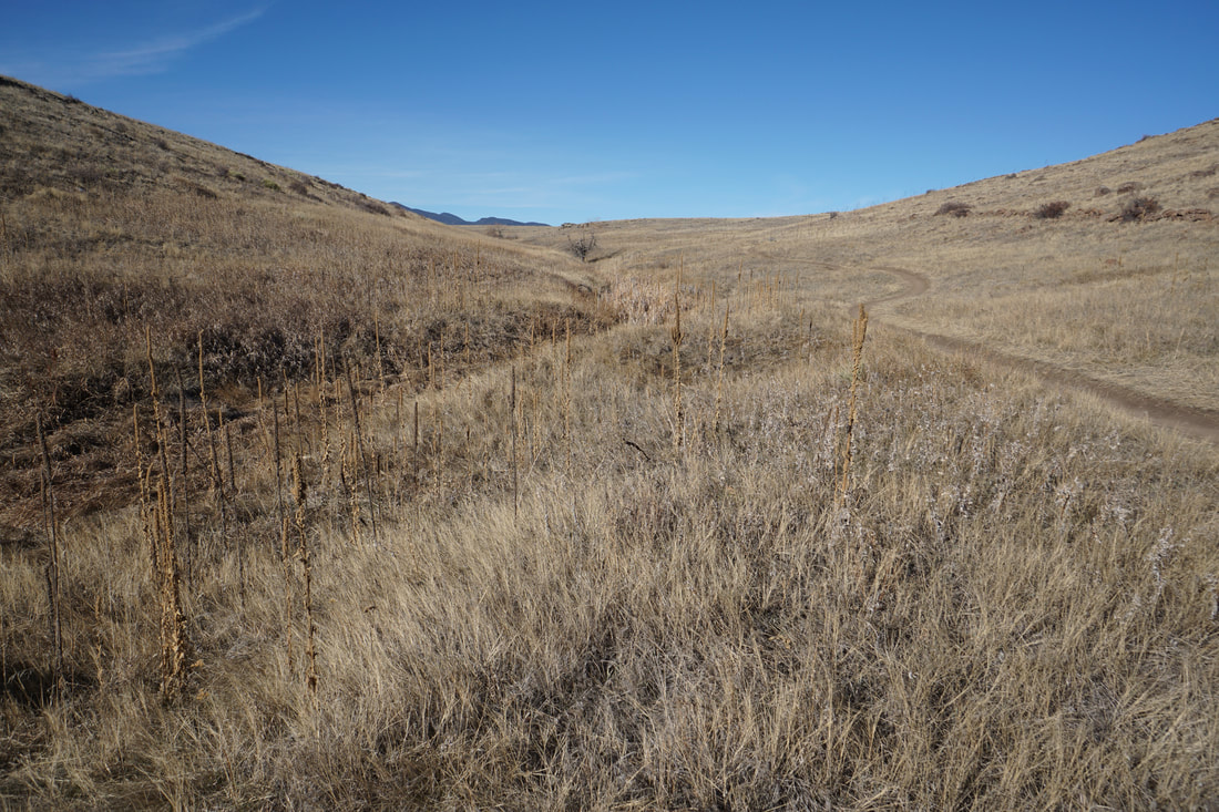
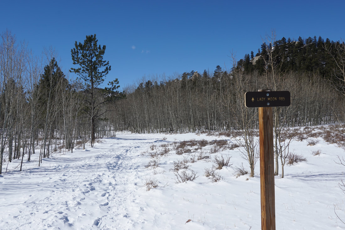
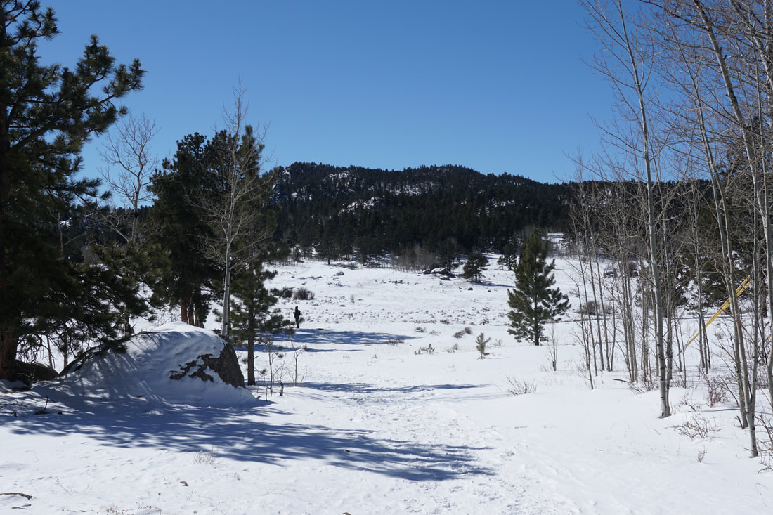
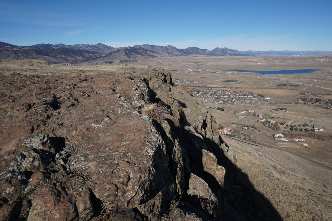
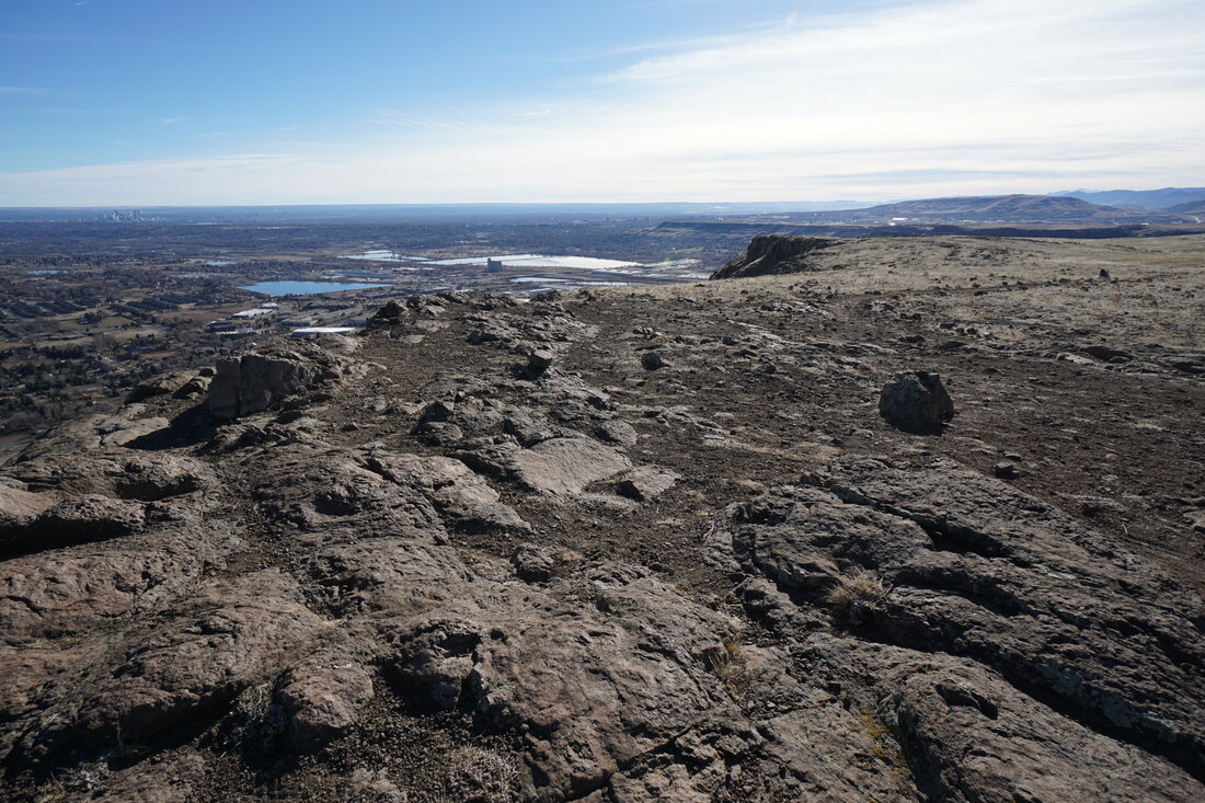
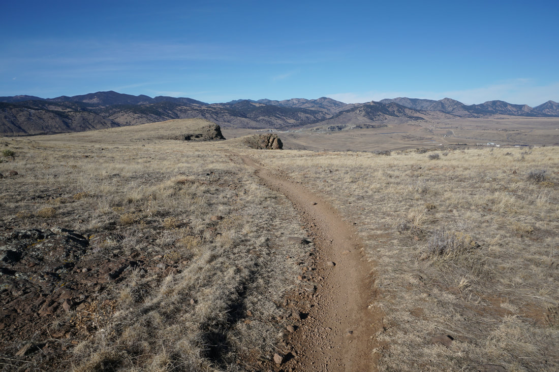
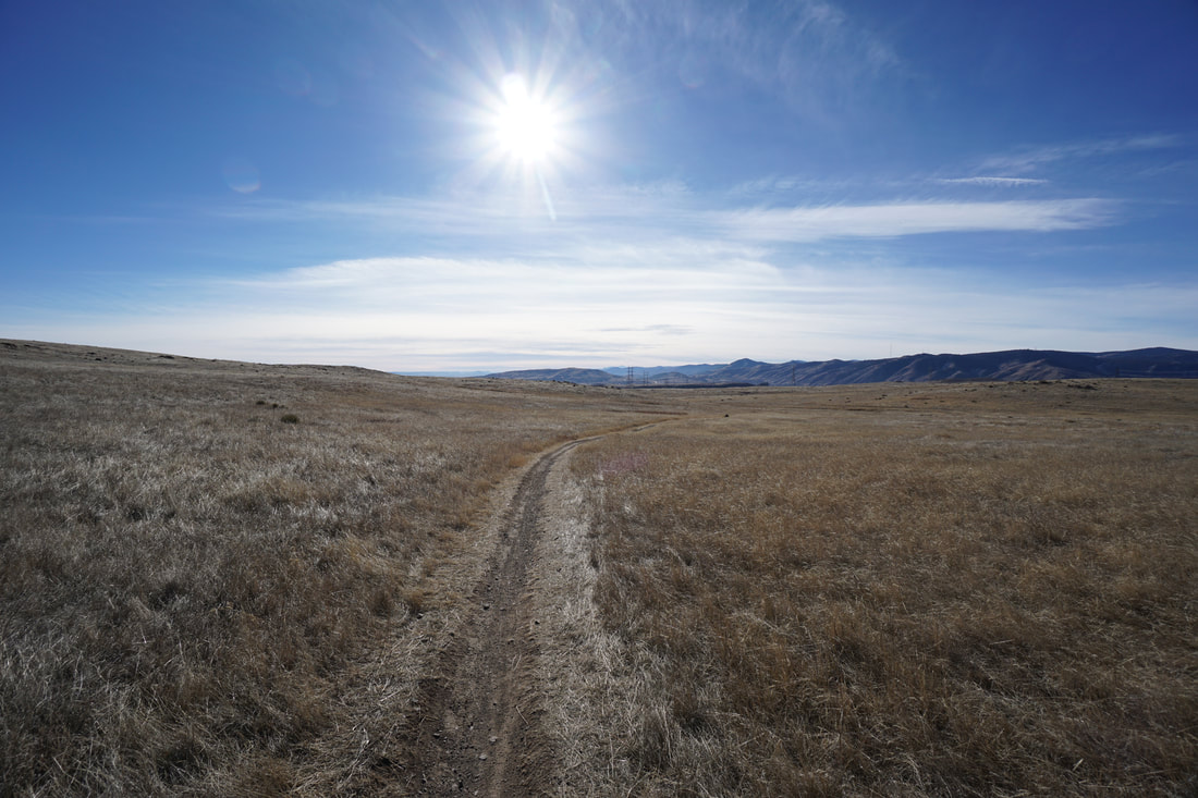
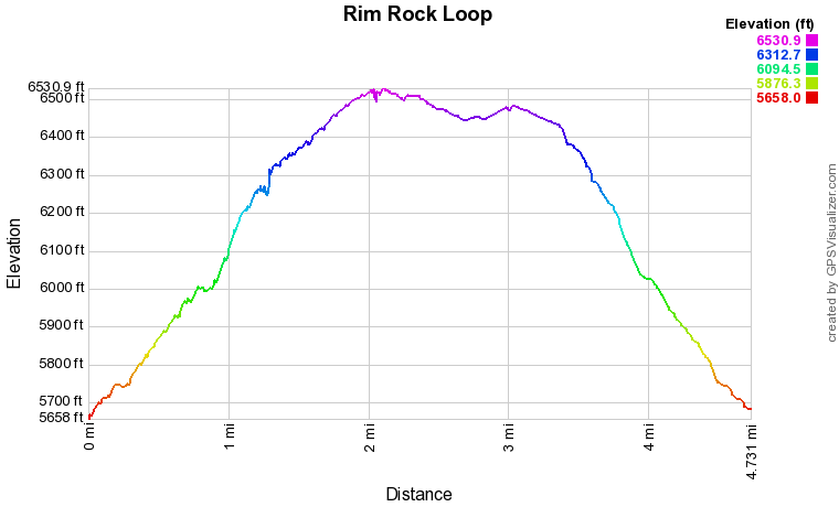
North Table Mountain Park is high on the list of great winter/spring hiking areas.  The park gets plenty of sunshine and the trails typically dry out quickly.  The Easley Road Trailhead provides quick access to the top of the mesa via the North Table Loop and Mesa Top Trails that climb 800 feet over about 1 mile.  On your way up to the mesa top, there are spectacular views to the east and be sure to check out the seasonal waterfall just before you reach the top. 

Once you arrive on the mesa top, the Rim Rock Trail quickly breaks from the Mesa Top Trail and heads north. Please note however, that the Rim Rock Trail is closed from February 1st to July 31st to protect raptor nesting.  If the trail is open, it provides a wonderfully scenic loop along the northeast portion of the mesa.  The rim of the mesa provides great views of the Denver Metro Area and the Boulder Foothills to the north. 

After you've completed the loop, follow the Mesa Top Trail back to the North Table Loop and the Trailhead.  You can also link to the miles of trails in the park for a longer hike. 
© Go Hike Colorado, 2020.  All Rights Reserved. 
Use of photographs without prior authorization is
​strictly prohibited.


Contact us at:
[email protected]
Legal Disclaimer - Information provided on this site is based upon our own observations, always double check information with the appropriate land management agency before heading into the backcountry.  Backcountry travel is inherently dangerous, please take all proper precautions.  Go Hike Colorado is not responsible for injury or incident.