GO HIKE COLORADO
Get in Touch:
  • HOME
  • ABOUT
  • HIKES BY REGION
    • DENVER AREA >
      • Denver Mountain Parks
      • Jefferson County Open Space
      • Lakewood Parks
      • Denver Area Greenways
    • BOULDER AREA
    • DOUGLAS COUNTY
    • FORT COLLINS AREA
    • COLORADO SPRINGS AREA
    • FRONT RANGE
    • TENMILE & MOSQUITO RANGES
    • GORE RANGE
    • SANGRE DE CRISTO MOUNTAINS
    • PARK RANGE
    • SAWATCH RANGE
    • ELK MOUNTAINS
    • SAN JUAN MOUNTAINS
    • THE FLAT TOPS
    • GRAND MESA
    • COLORADO PLATEAU
    • EASTERN PLAINS
  • NATIONAL PARK HIKES
    • BENT'S OLD FORT NATIONAL HISTORIC SITE
    • BLACK CANYON OF THE GUNNISON NATIONAL PARK
    • COLORADO NATIONAL MONUMENT
    • CURECANTI NATIONAL RECREATION AREA
    • DINOSAUR NATIONAL MONUMENT
    • FLORISSANT FOSSIL BEDS NATIONAL MONUMENT
    • MESA VERDE NATIONAL PARK
    • ROCKY MOUNTAIN NATIONAL PARK
    • GREAT SAND DUNES NATIONAL PARK
    • HOVENWEEP NATIONAL MONUMENT
    • SAND CREEK MASSACRE NATIONAL HISTORIC SITE
    • YUCCA HOUSE NATIONAL MONUMENT
  • HIKES BY CATEGORY
    • HIKES TO ALPINE LAKES
    • HIKES TO PEAKS & PASSES
    • HIKES THROUGH CANYONS
    • HIKES WITH FALL COLORS
    • HIKES ALONG THE I-70 CORRIDOR
    • HIKES ON PAVED TRAILS
    • HIKES FOR KIDS
    • HIKES TO WATERFALLS
    • HIKES ALONG RIVERS
    • HIKES WITH ROCK FORMATIONS
    • HIKES WITH WILDFLOWERS
    • WINTER HIKES
  • NEWS
  • WEBCAMS
  • $UPPORT GHC
  • INTERACTIVE MAP

Lookout Mountain Trail
Windy Saddle Park

Date Hiked: June 14, 2015

Distance: 2.3 mi (RT)
Elevation Gain: 675 ft
Elevation Min/Max: 6,876 to 7,547 ft
Trailhead Lat/Long: 39º 44' 12" N; 105º 14' 44" W
Managing Agency: Jefferson County Open Space
Fee: None

Windy Saddle Park Website
Picture

Directions:  From Denver, head West on I-70.  Exit Hwy 58 W to Hwy 93. Make a left onto Hwy 93/6th Ave.  Turn right onto Lookout Mountain Road and follow it to the Windy Saddle, the trailhead, and the small parking area. 

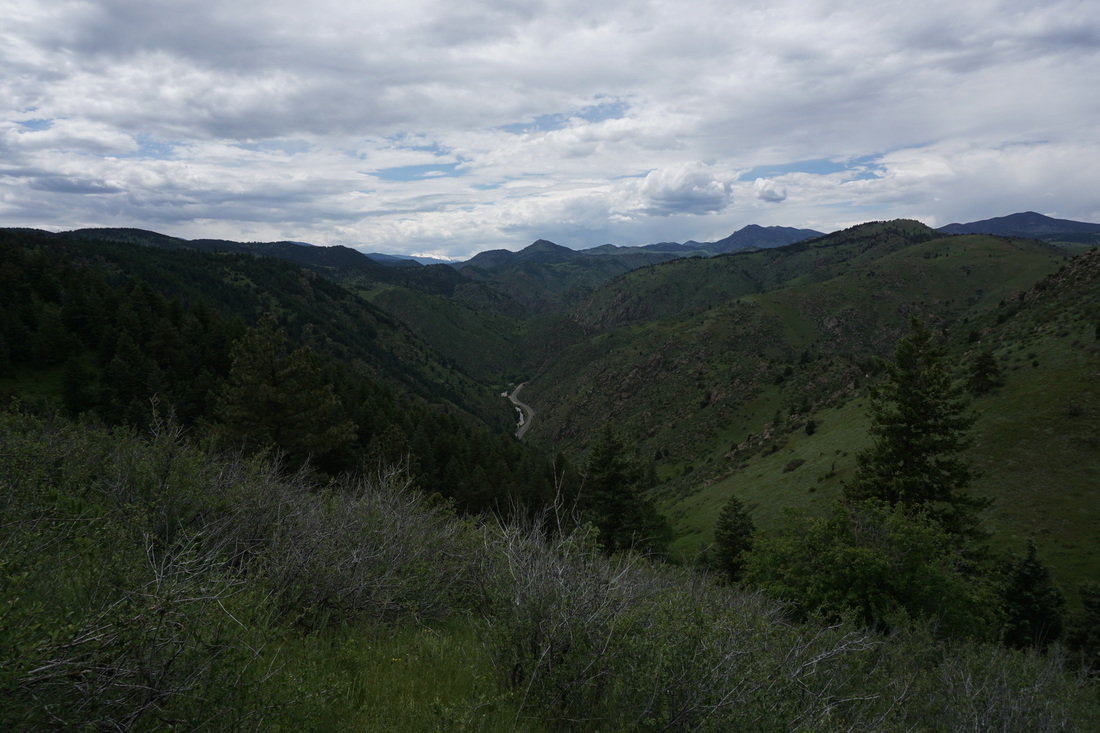
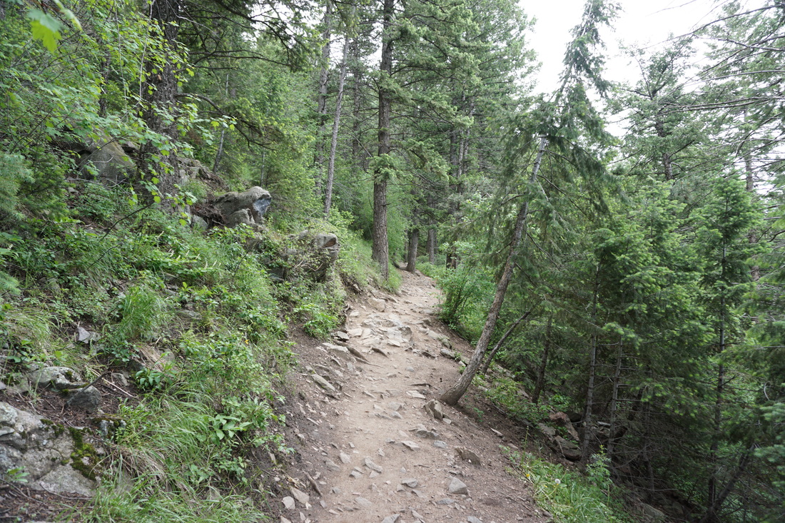
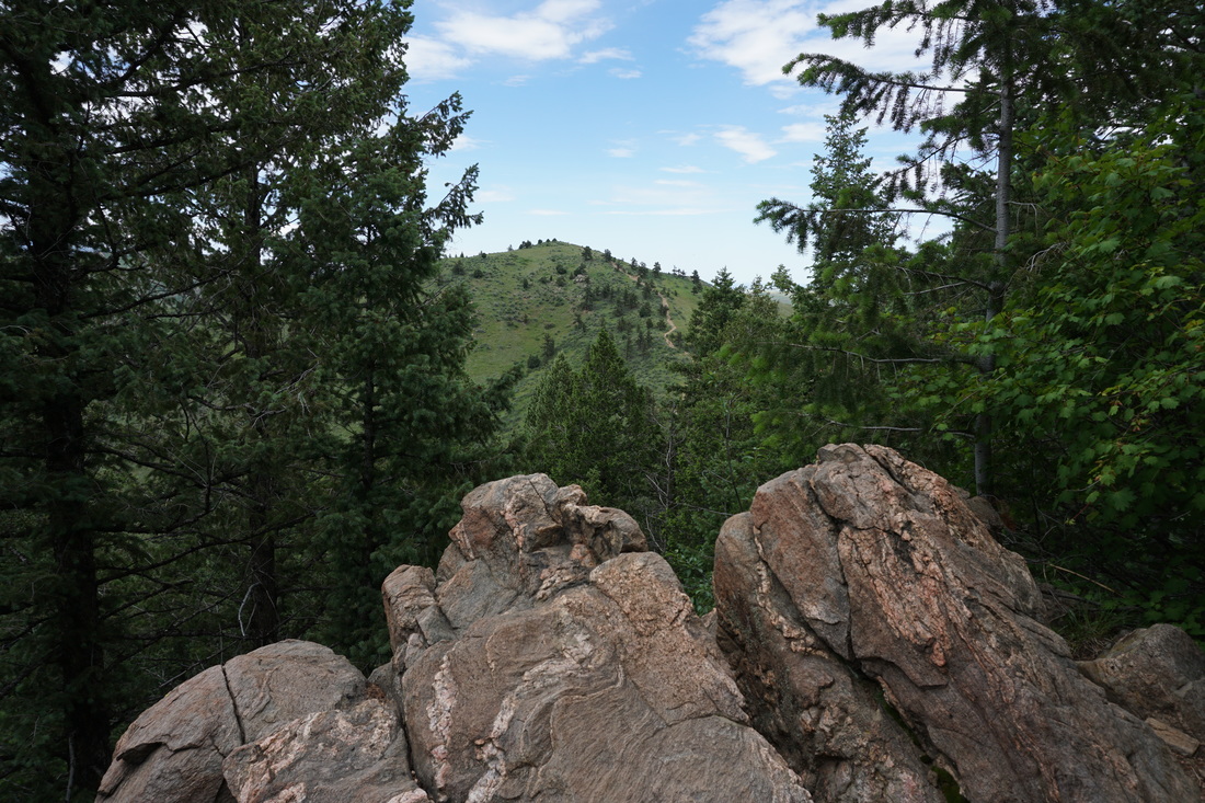
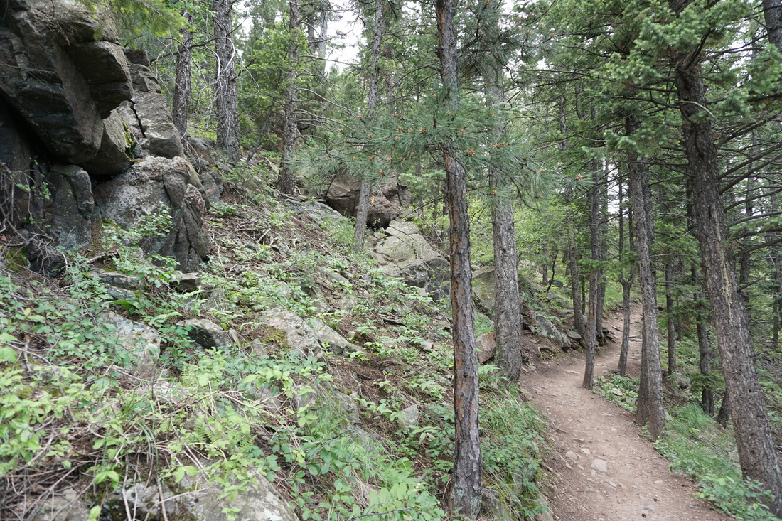
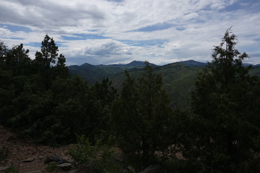
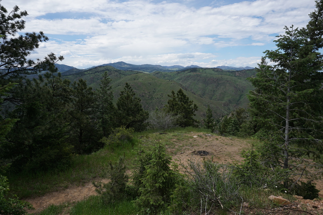
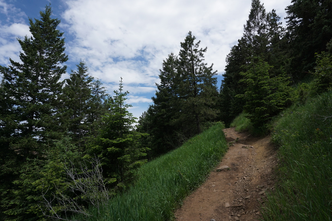
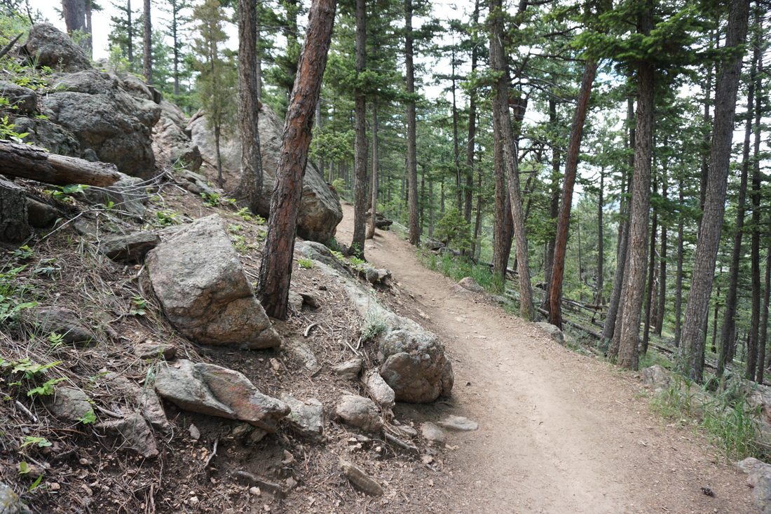
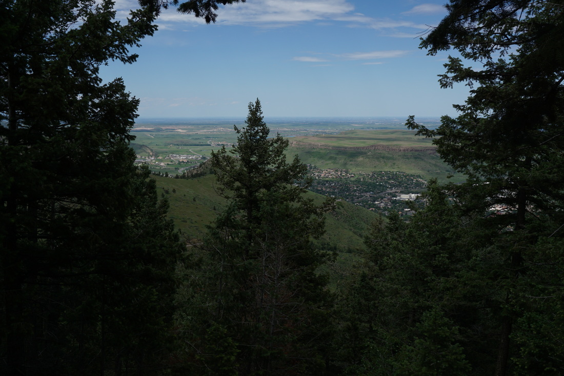
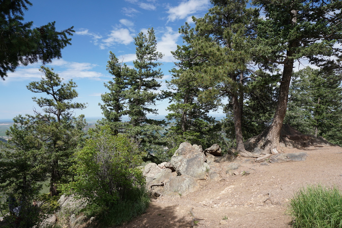
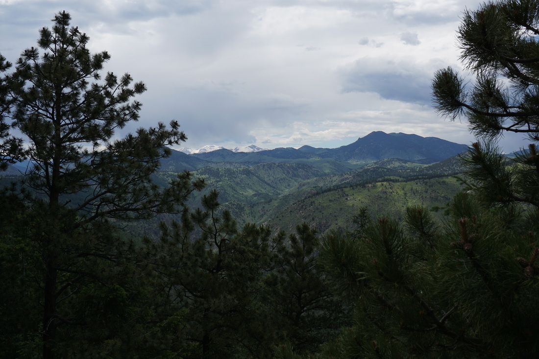
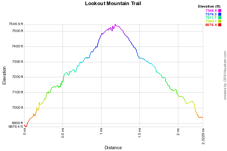
The Lookout Mountain Trail starts at the Windy Saddle and climbs up through evergreen forest to the Lookout Mountain Nature Center.  The trail is very popular on weekends, though most people congregate around the viewpoints at the start and end of the hike.  From the Windy Saddle follow the trail west as it skirts the ridge, enters the forest, and comes to a junction with the Beaver Creek Trail.  Turn left here heading uphill.  From here the trail follows gentle switchbacks through the forest with various lookouts along the way.  

At the junction with the Buffalo Bill Trail, turn right continuing uphill.  As you reach the road and the gate for the Lookout Mountain Nature Center look to the right for a rocky outcrop shaped into a bench.  The best view is underneath this outcrop and there is a trail that jogs down to the viewpoint.  The Lookout Mountain Trail continues past the nature center along Lookout Mountain Road, but for this hike description, turn around here and head back to the Windy Saddle along the same route.  

Powered by Create your own unique website with customizable templates.