|
|
|
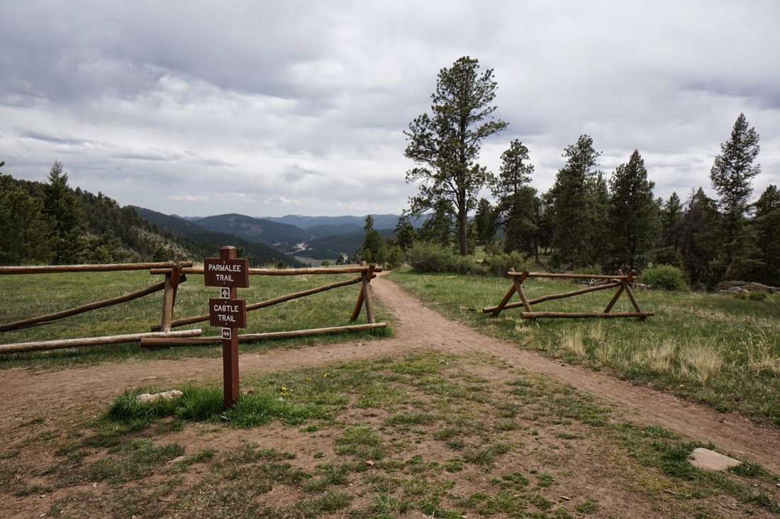
Directions: From Denver, take I-70 west to C470. Head South (West) on C470 to the Morrison Exit (Route 74). Follow 74 through Morrison and through Idledale. Turn left (south) on Meyers Gulch road which becomes Parmalee Gulch Road. When you see the signs for the park, turn left (east) on Picutis Road. From here follow the signs up the hill to the park entrance and parking area.
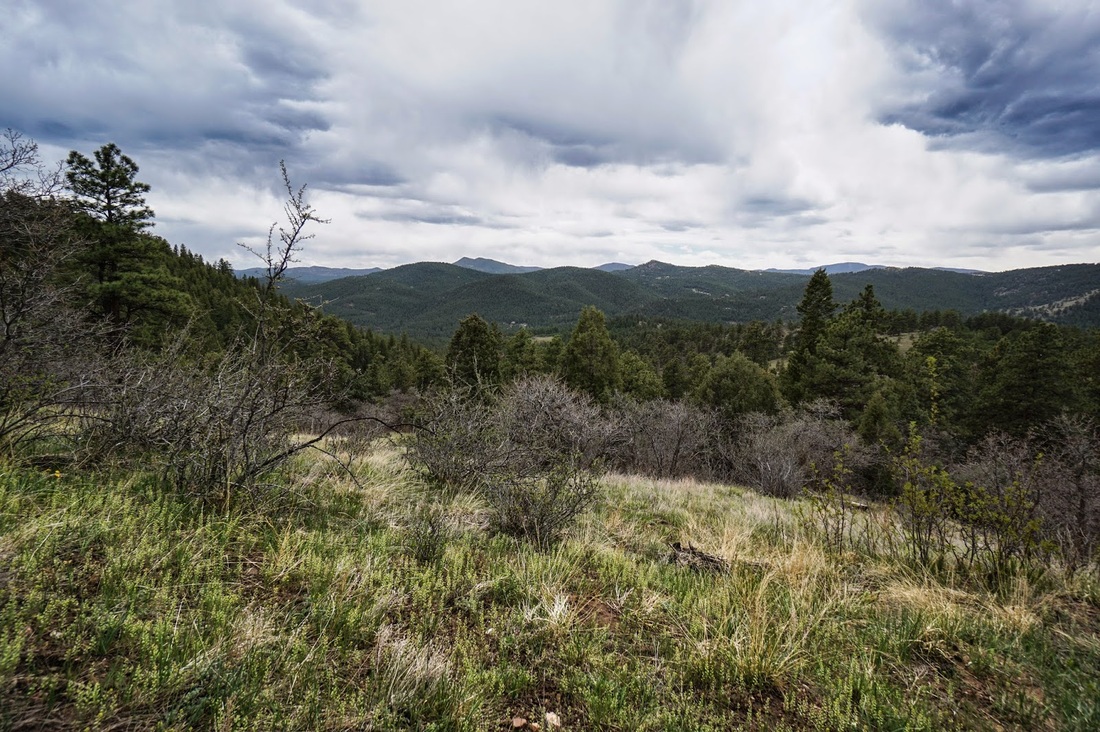
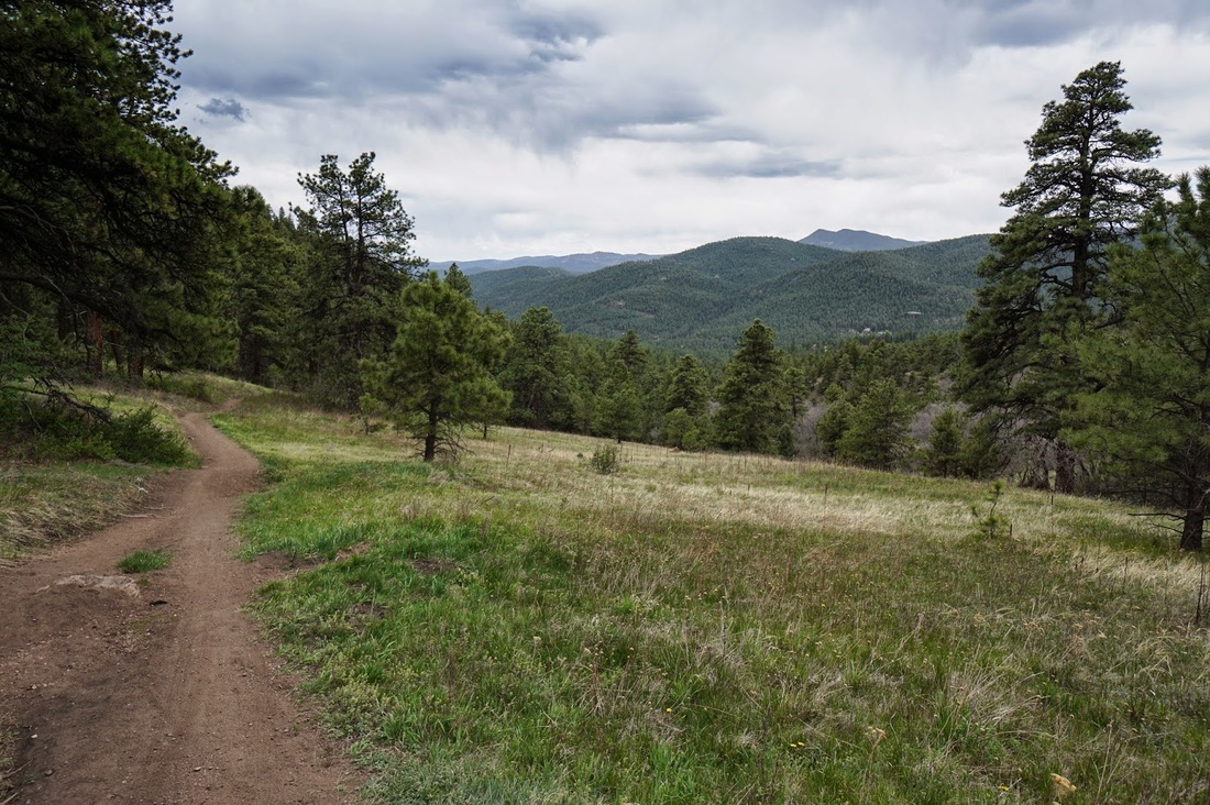
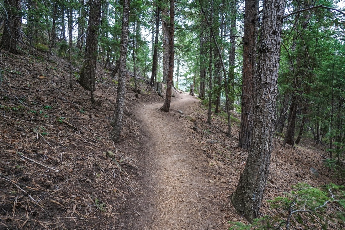
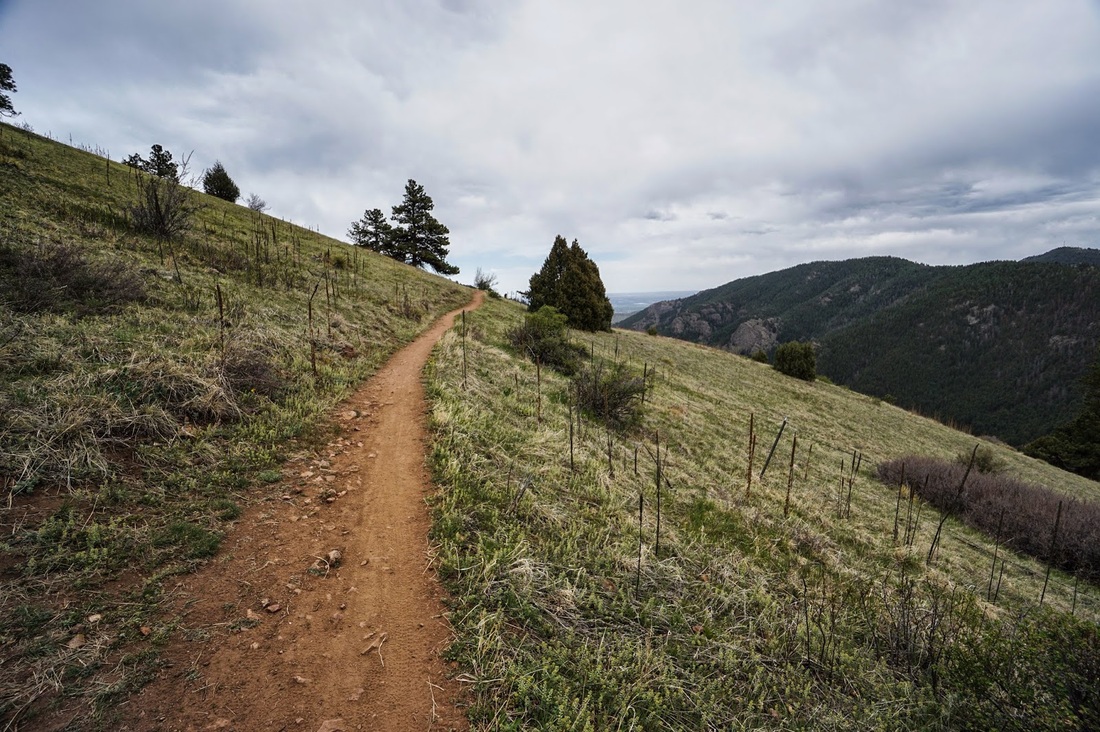
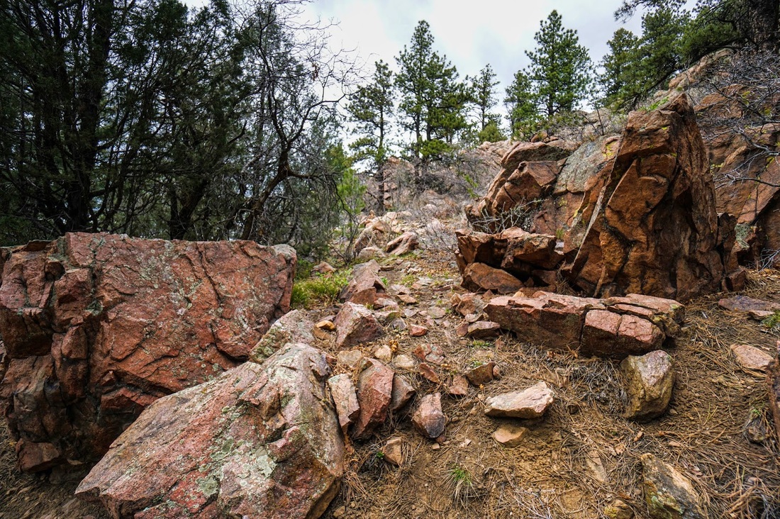
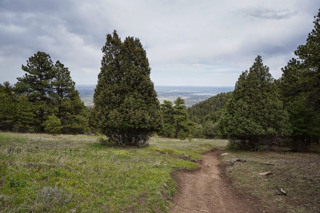
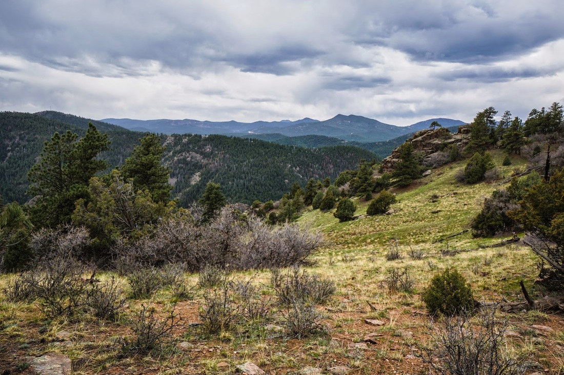
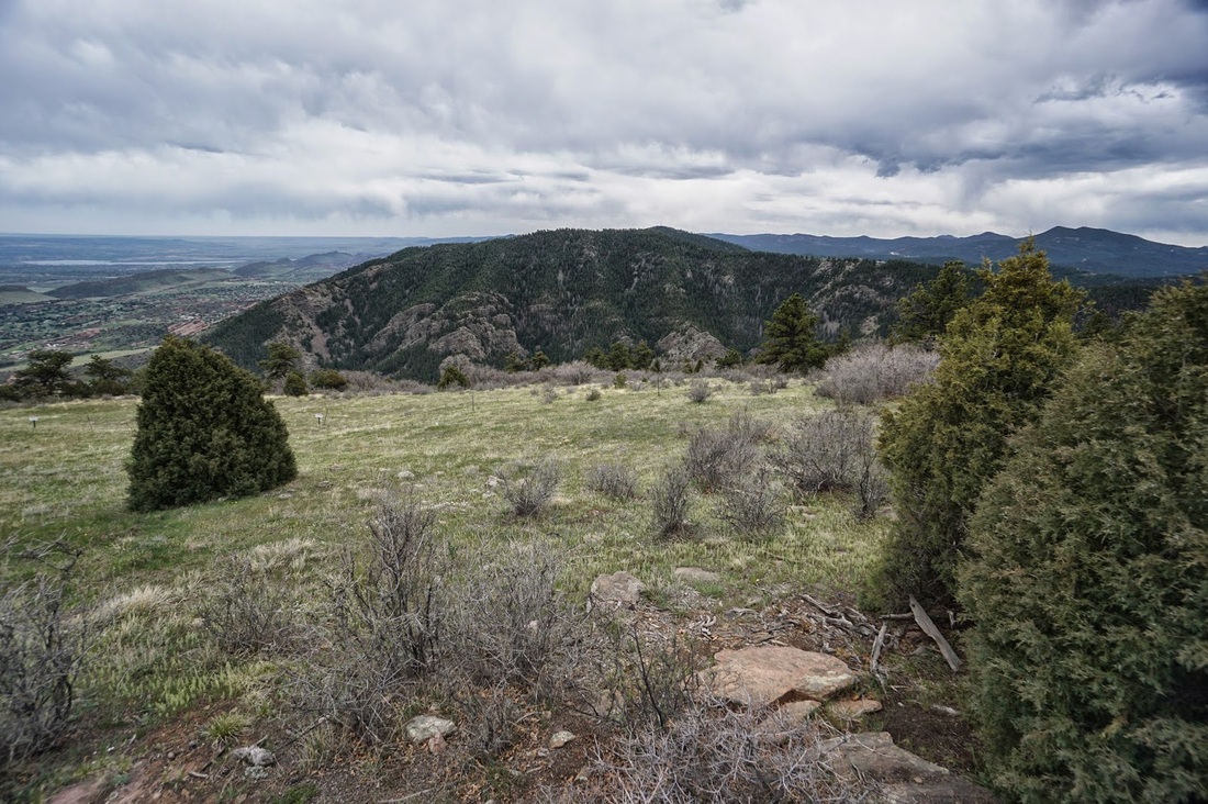
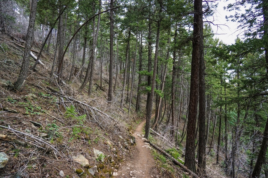
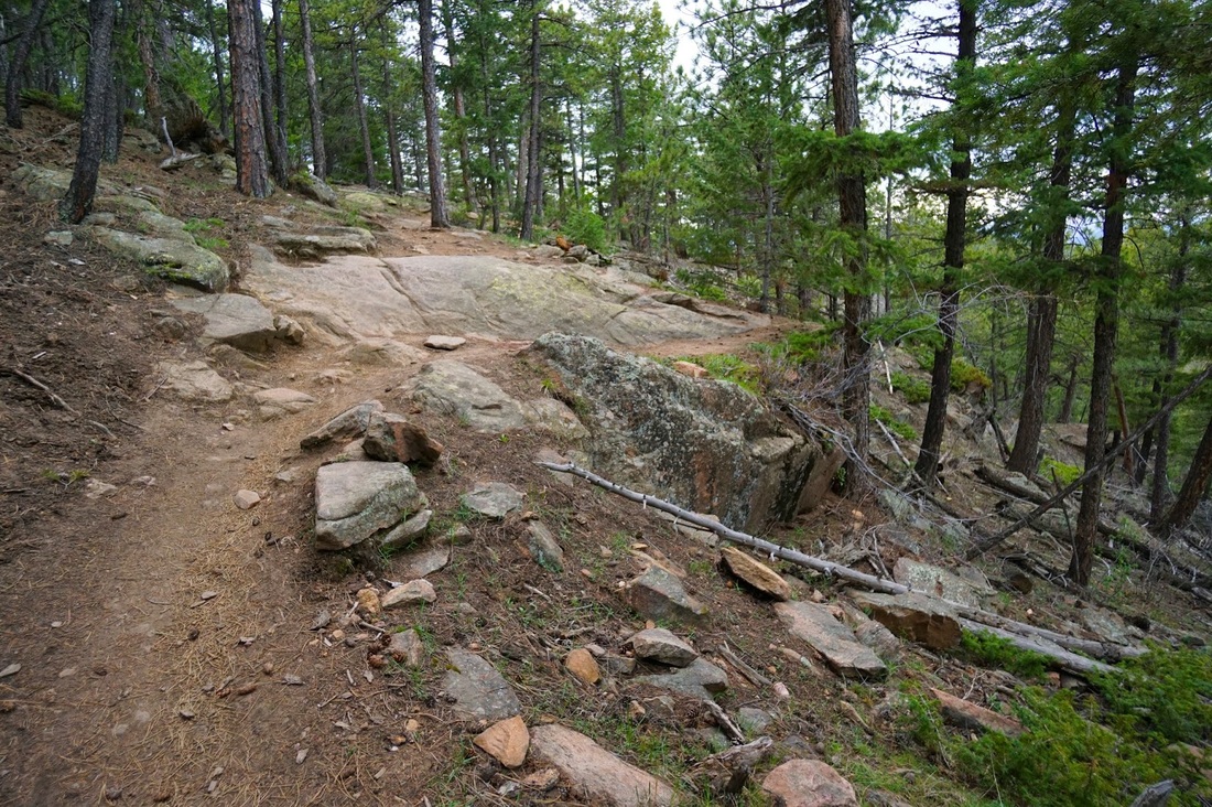
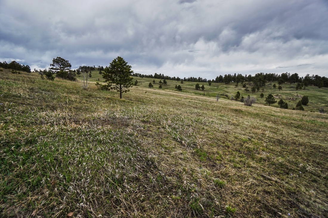
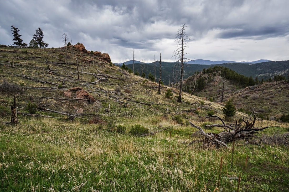
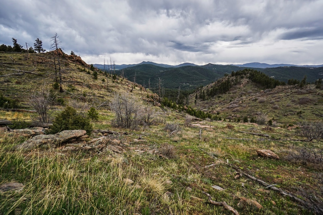
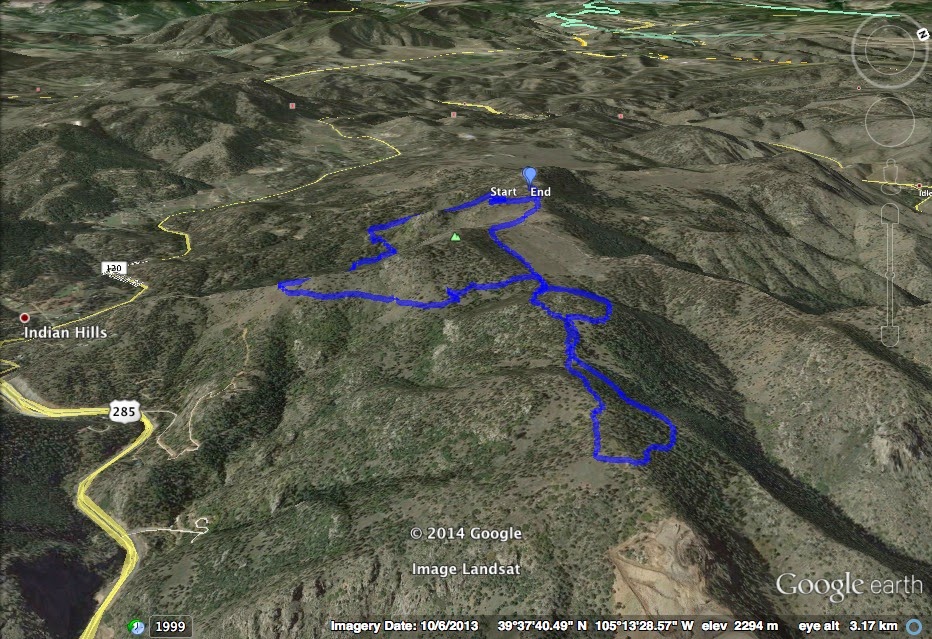
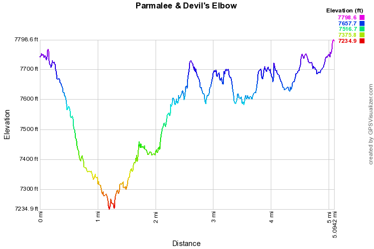
This combination of two trails is just one example of the many trails or combination of trails in this park. You begin basically on the summit of Mt. Falcon, and descend down along Parmalee Gulch. The trail is wooded but opens frequently to give you views of the foothills to the west. When you start re-gaining elevation you will eventually break out of the trees and follow the south slope of Mt. Falcon. Along this stretch of trail you get a birds eye view of Mt. Lindo to the south. The trail continues along the side the mountain until you eventually reach the trail junction at the 2 mile mark. From here you can either turn left onto the Meadow Trail and follow it for almost a mile back to the trailhead, or you can turn right onto the Old Ute trail to extend your journey. If you turn right, you will come to two loop trails, I usually take the right forks each time, first on the Ute trail and then on the Devil's Elbow Trail. This trail gains more elevation and provides you with a fantastic view of Mount Evans if the weather is clear. When you get to the southern end of the Devil's Elbow you again get a great view of Mt. Lindo and the Great Plains. Follow the trail back north through thick forest until you close both loops. From here it is about a mile back to the trailhead and you get to hike next to the burn area before reaching the trailhead. There are many options on the top of Mt. Falcon and each has it's own reward. For a great but strenuous hike, start on the east end of the park and take the entire Castle Trail to the Mt. Falcon Summit. Great training for the high mountain peaks... |
|