|
|
|
Directions: From Denver take I70 west to C470 east (south) to 285 south. Just before you reach the Aspen Grove shopping center look for the sign to the open space on your right. The exit is on the right and you curve around under the highway to the Meyer Ranch Parking Lot.
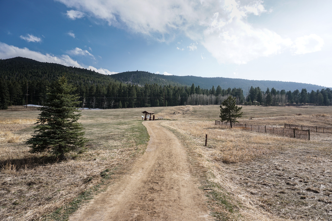
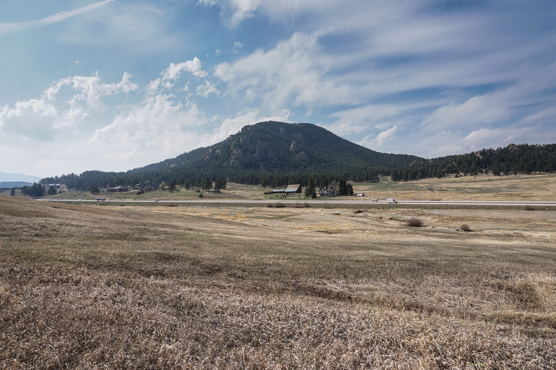
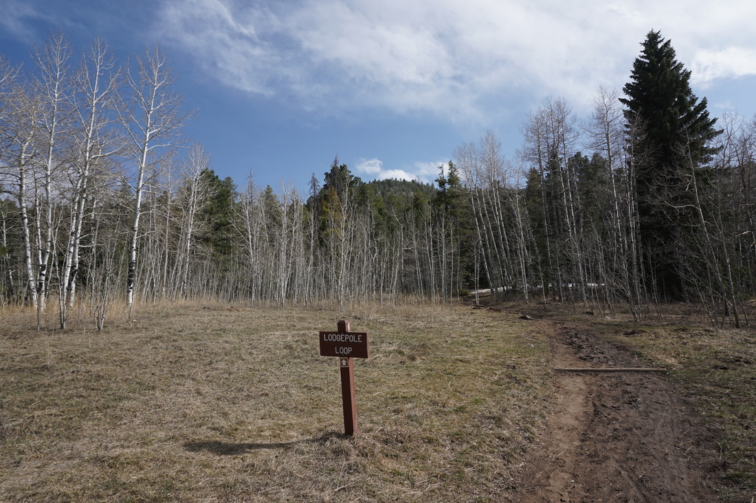
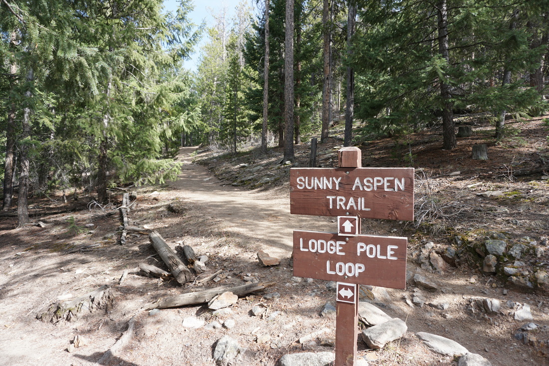
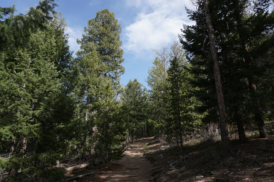
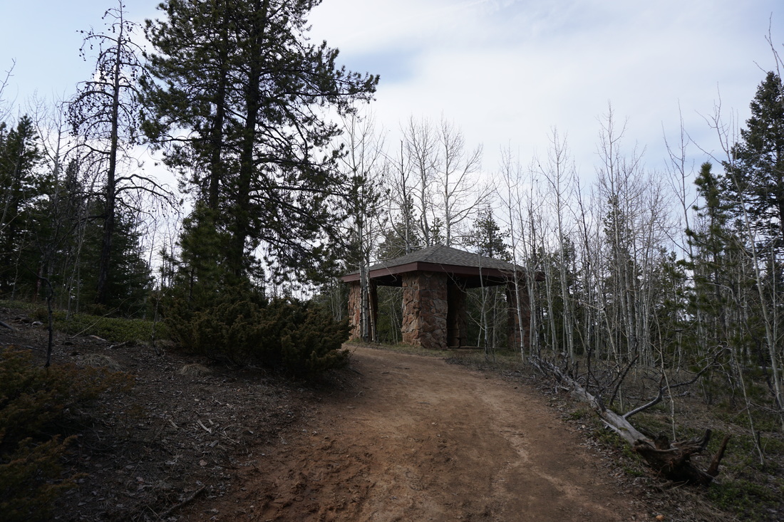
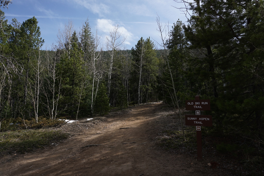
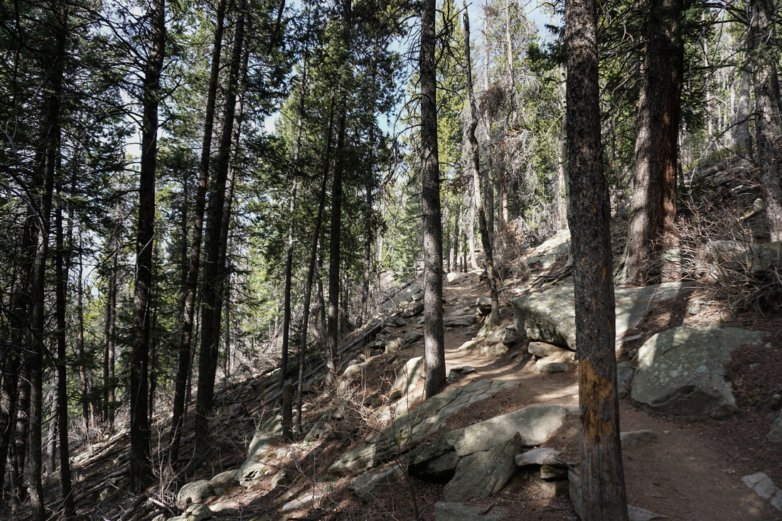
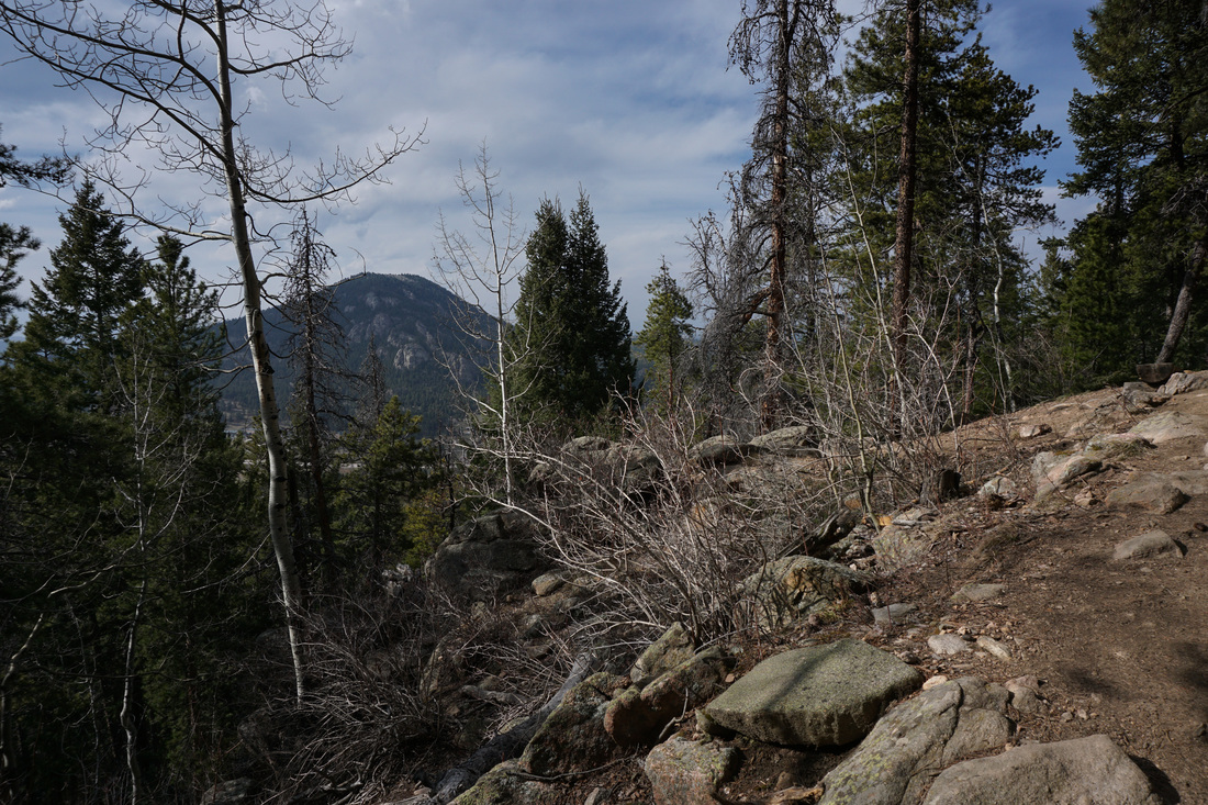
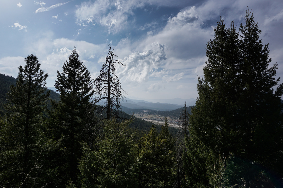
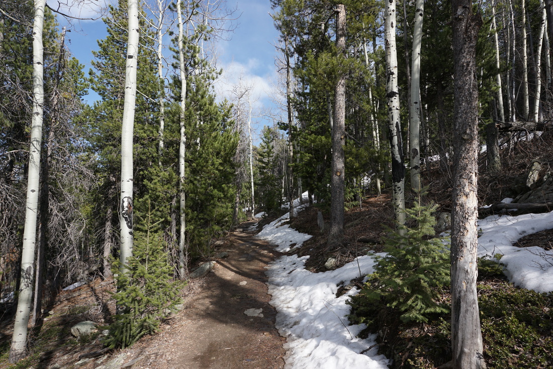
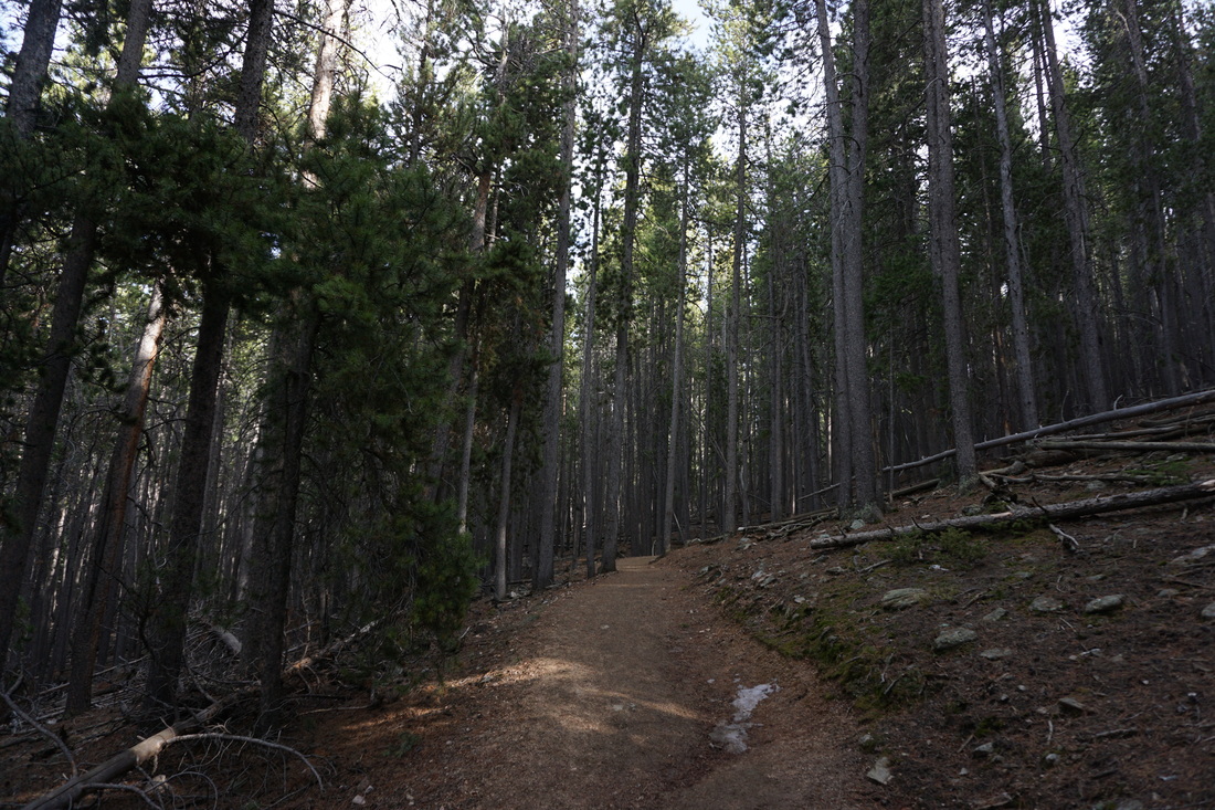
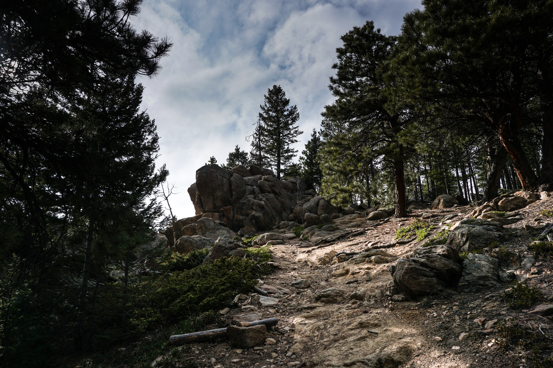
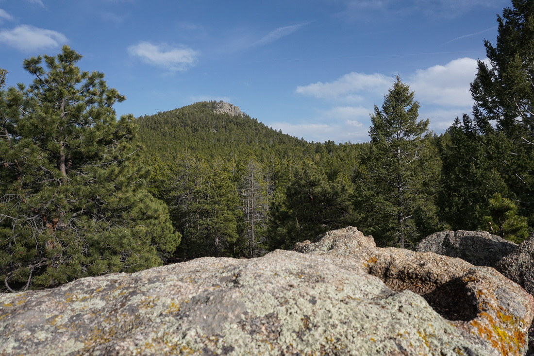
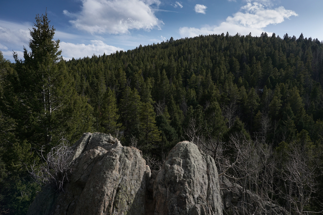
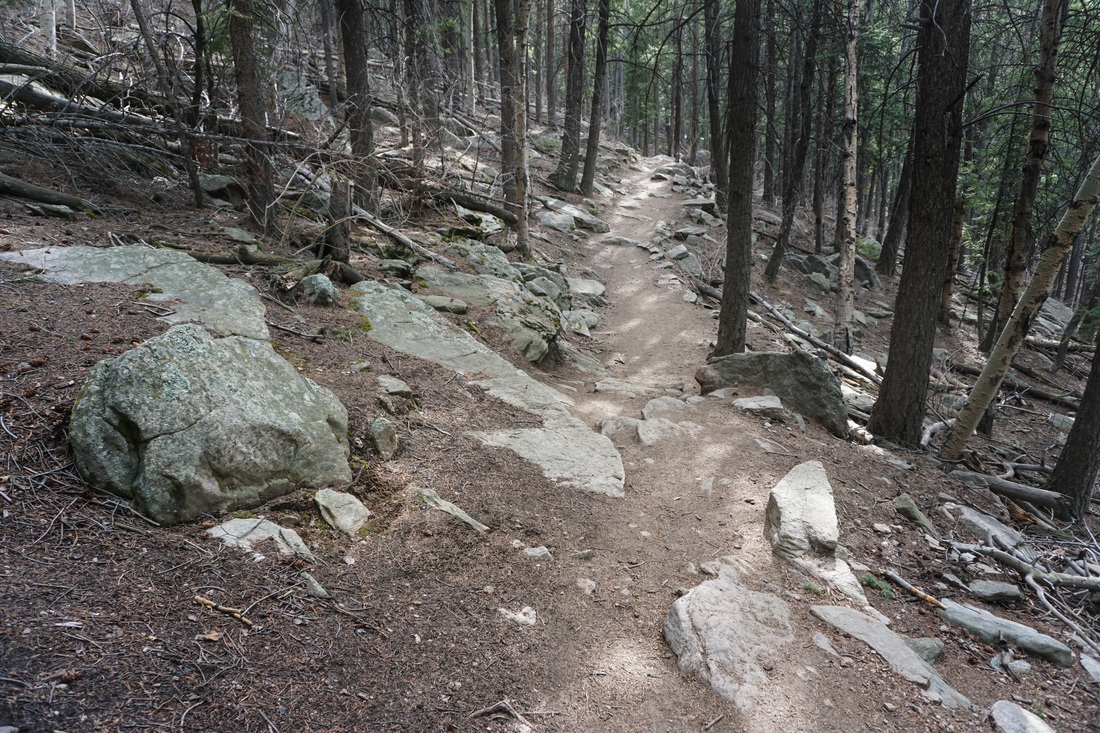
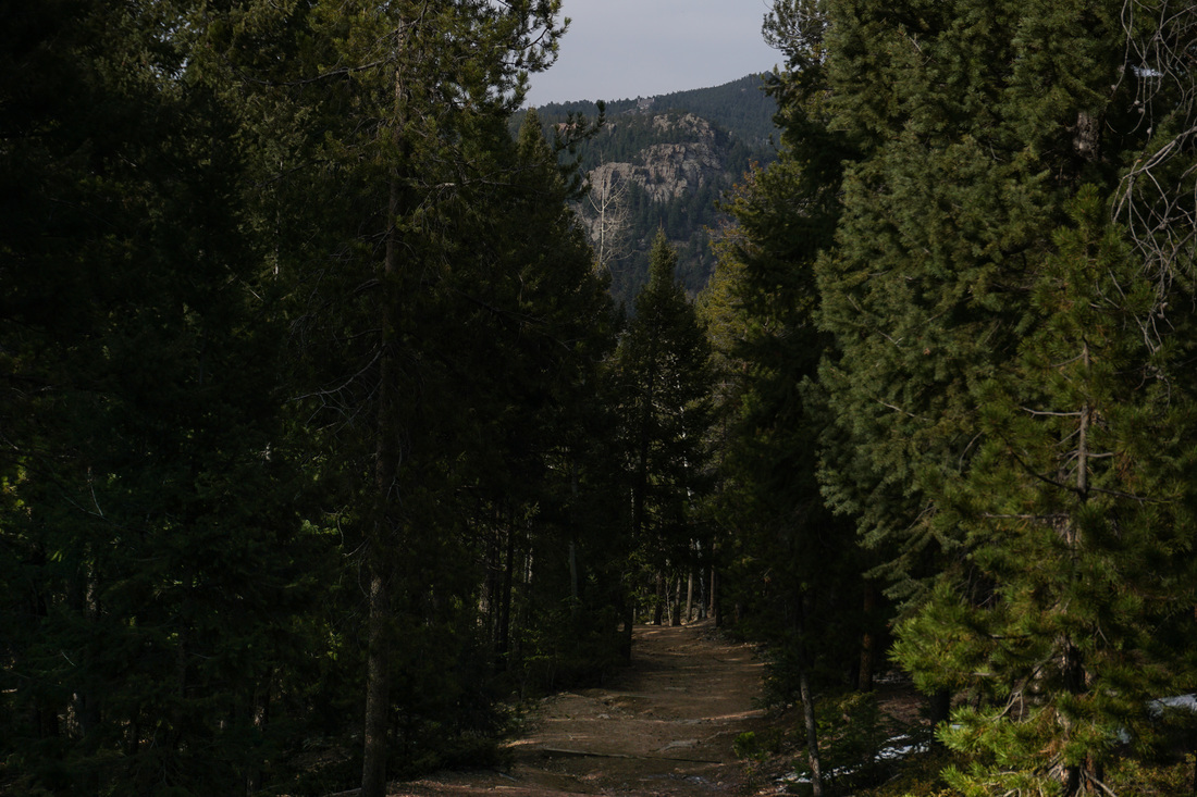
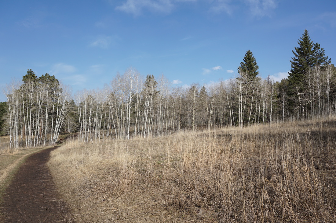
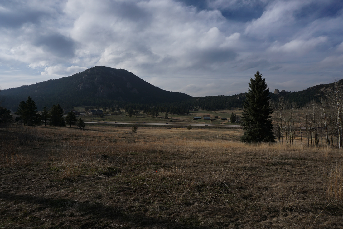
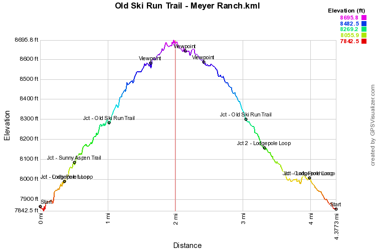
The Old Ski Run Trail is a 2.1 mile lollipop loop that starts from the highest point on the Sunny Aspen Trail. In order to hike this trail, you also have to hike the other trails in the park, making for a terrific 4.4 mi loop. The Old Ski Run Trail contains the only real viewpoints in the park, crosses through impressive Aspen forests, and provides access to the unofficial trail up to Legault Mountain. From the parking area start out on the main path to the trailhead kiosk and then to the restrooms at the start of the park loops. There are three possible loops in the park aside from the Old Ski Run Trail; the Owl’s Perch Loop, the Lodgepole Loop, and the Sunny Aspen Trail. Start off straight uphill from the restrooms on the Owl’s Perch Trail to the start of the Lodgepole Loop. I prefer to hike counterclockwise so turn left at the junction. Head uphill through aspen forests and enter the dense evergreen forest which is the backdrop for most of the hiking at Meyer Ranch. After .2 miles, turn left onto the Sunny Aspen Trail. The trail continues to weave through the evergreens to the Shelter .5 miles away. The shelter lies at the junction with the Old Ski Run Trail, turn left onto the Old Ski Run Trail. The Old Ski Run Trail traverses through the forest passing through Aspen groves as you gain altitude. Look to the left for the wood bench and rocky outcropping giving you a great view to Berrian Mountain and west to Mt. Evans. Continue on the trail to the Old Ski Run loop. Turn right and continue uphill as you turn north, look to the right for the unofficial trail to Legault Mountain (for a more “backcountry” adventure). As the trail turns back west and starts to descend there is an unofficial trail to the right that leads up to a rock outcropping. I strongly suggest taking a few minutes to scramble up this boulder pile, you get great views of Mt. Evans the west and a clear view of Legault Mountain to the southeast. Back on the trail, continue the loop and rejoin the trail that you came up on. As you head back down, turn left on the Sunny Aspen Trail, left on the Lodgepole Loop, and left again on the Owl’s Perch Loop to finish off your looping hike. |
|