GO HIKE COLORADO
Get in Touch:
  • HOME
  • ABOUT
  • HIKES BY REGION
    • DENVER AREA >
      • Denver Mountain Parks
      • Jefferson County Open Space
      • Lakewood Parks
      • Denver Area Greenways
    • BOULDER AREA
    • DOUGLAS COUNTY
    • FORT COLLINS AREA
    • COLORADO SPRINGS AREA
    • FRONT RANGE
    • TENMILE & MOSQUITO RANGES
    • GORE RANGE
    • SANGRE DE CRISTO MOUNTAINS
    • PARK RANGE
    • SAWATCH RANGE
    • ELK MOUNTAINS
    • SAN JUAN MOUNTAINS
    • THE FLAT TOPS
    • GRAND MESA
    • COLORADO PLATEAU
    • EASTERN PLAINS
  • NATIONAL PARK HIKES
    • BENT'S OLD FORT NATIONAL HISTORIC SITE
    • BLACK CANYON OF THE GUNNISON NATIONAL PARK
    • COLORADO NATIONAL MONUMENT
    • CURECANTI NATIONAL RECREATION AREA
    • DINOSAUR NATIONAL MONUMENT
    • FLORISSANT FOSSIL BEDS NATIONAL MONUMENT
    • MESA VERDE NATIONAL PARK
    • ROCKY MOUNTAIN NATIONAL PARK
    • GREAT SAND DUNES NATIONAL PARK
    • HOVENWEEP NATIONAL MONUMENT
    • SAND CREEK MASSACRE NATIONAL HISTORIC SITE
    • YUCCA HOUSE NATIONAL MONUMENT
  • HIKES BY CATEGORY
    • HIKES TO ALPINE LAKES
    • HIKES TO PEAKS & PASSES
    • HIKES THROUGH CANYONS
    • HIKES WITH FALL COLORS
    • HIKES ALONG THE I-70 CORRIDOR
    • HIKES ON PAVED TRAILS
    • HIKES FOR KIDS
    • HIKES TO WATERFALLS
    • HIKES ALONG RIVERS
    • HIKES WITH ROCK FORMATIONS
    • HIKES WITH WILDFLOWERS
    • WINTER HIKES
  • NEWS
  • WEBCAMS
  • $UPPORT GHC
  • INTERACTIVE MAP

Plymouth Mountain
Deer Creek Canyon Park

Date Hiked: ​

Distance: 7.4 mi (RT)

  • Elevation Gain: 2,000ft
  • Elevation Min/Max: 5,704 to 7,261ft
  • Managing Agency: Jefferson County Open Space
  • Fee: None

Deer Creek Canyon Park Website
Picture

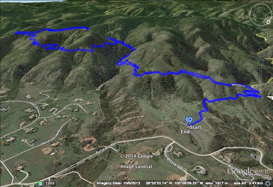
Directions: From Denver take I-70 west to C470 east and exit at Deer Creek Canyon Road.  Head west past the South Valley Park trailhead and make a right at the sign for the park onto Grizzly Drive and into the main parking area.

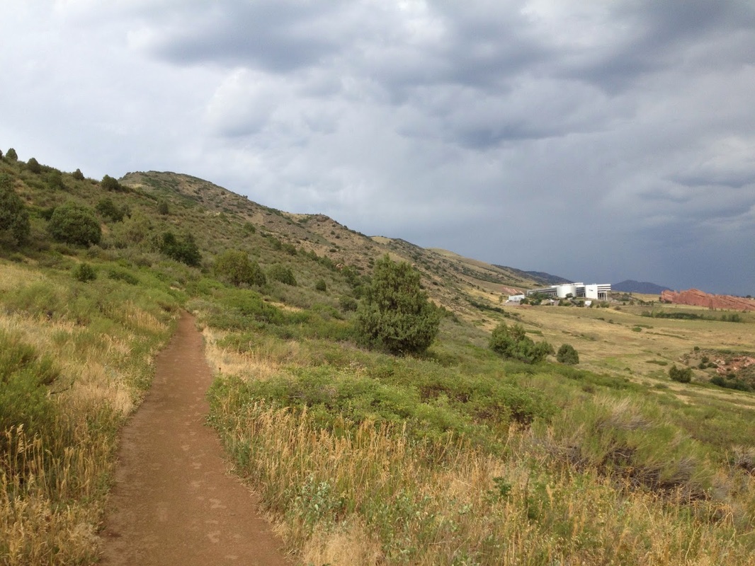
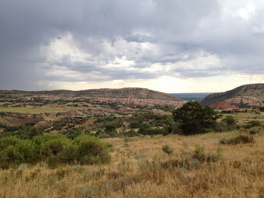
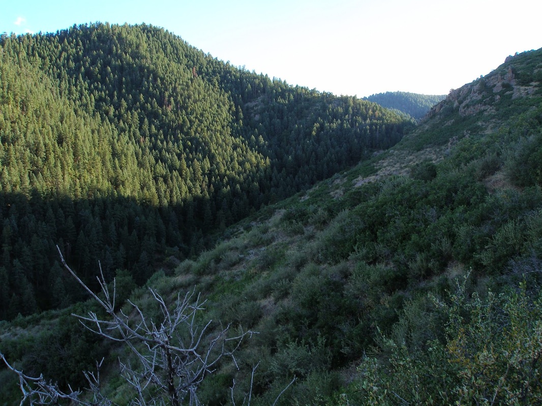
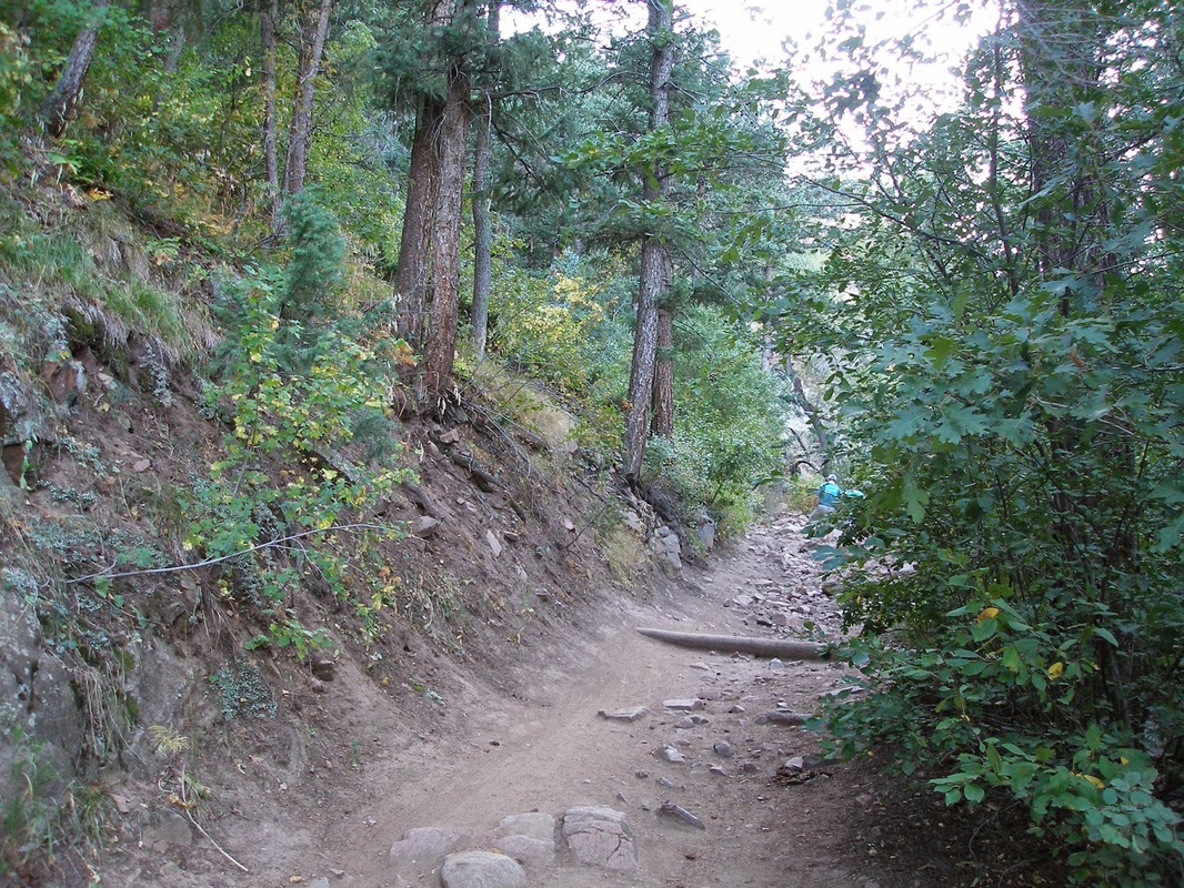
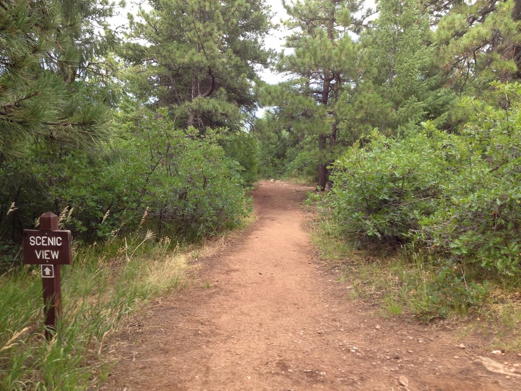
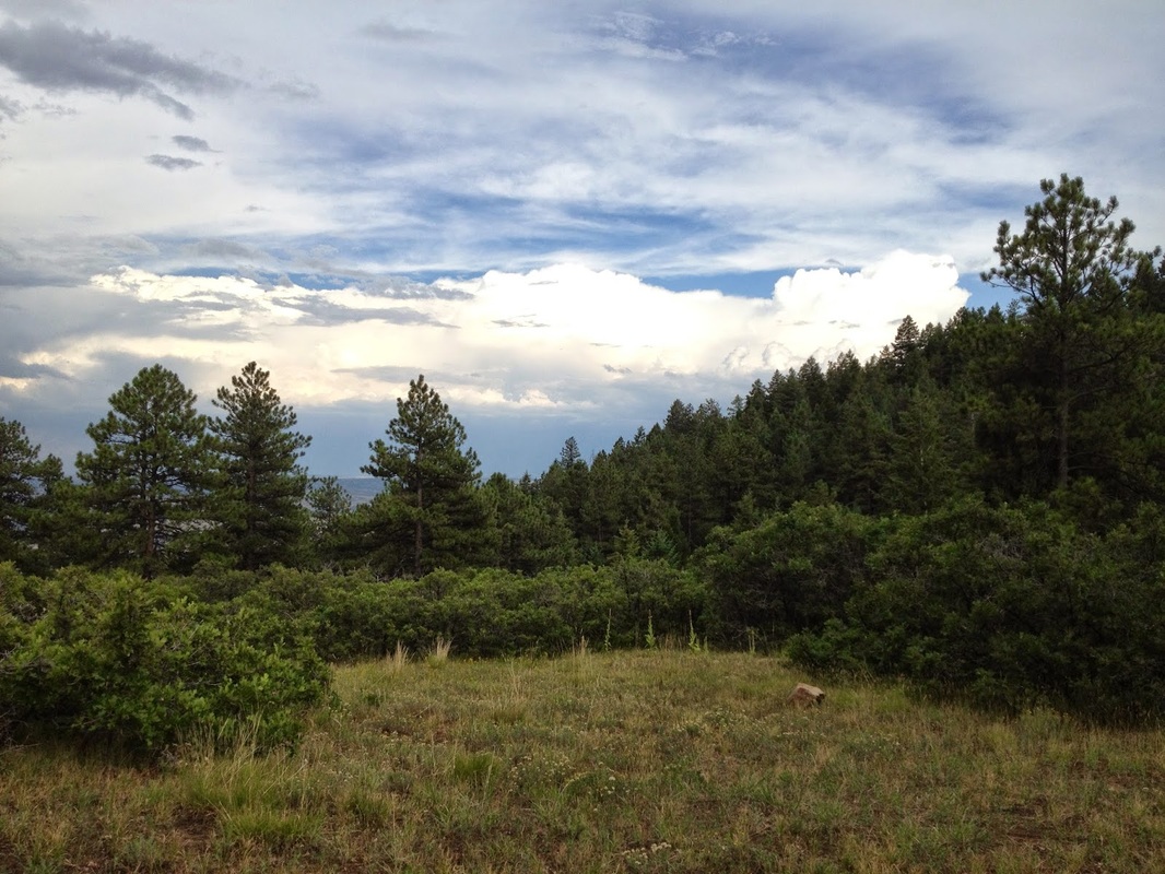
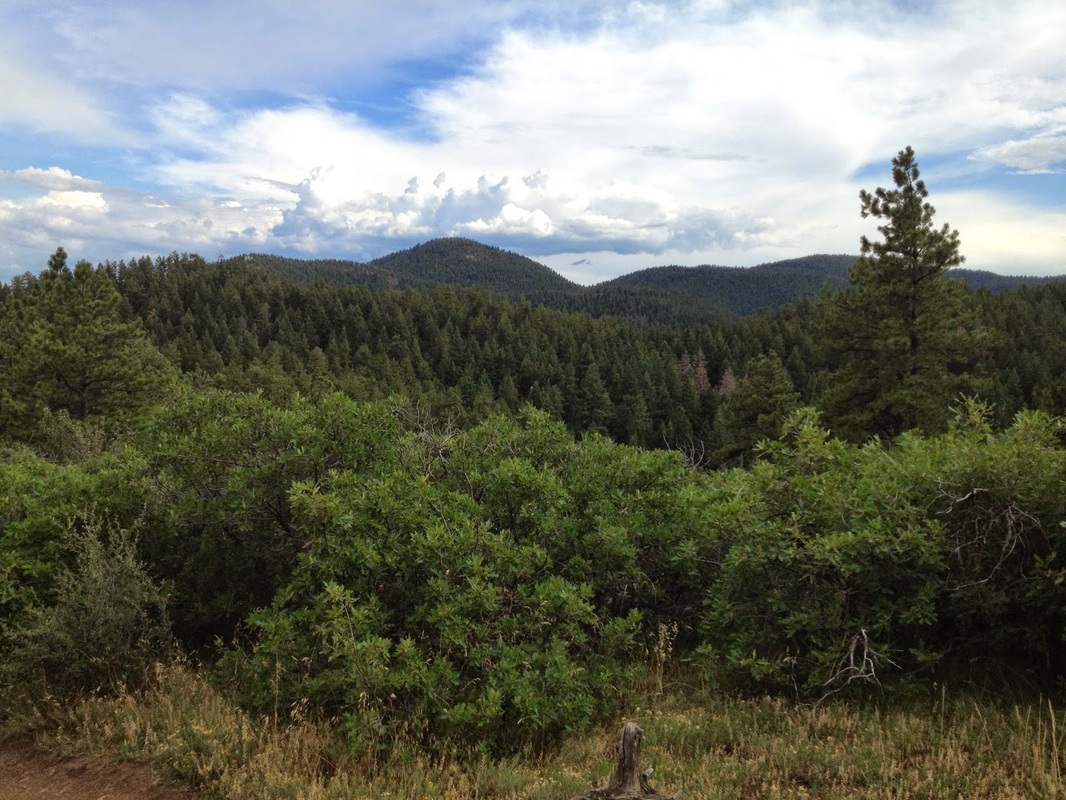
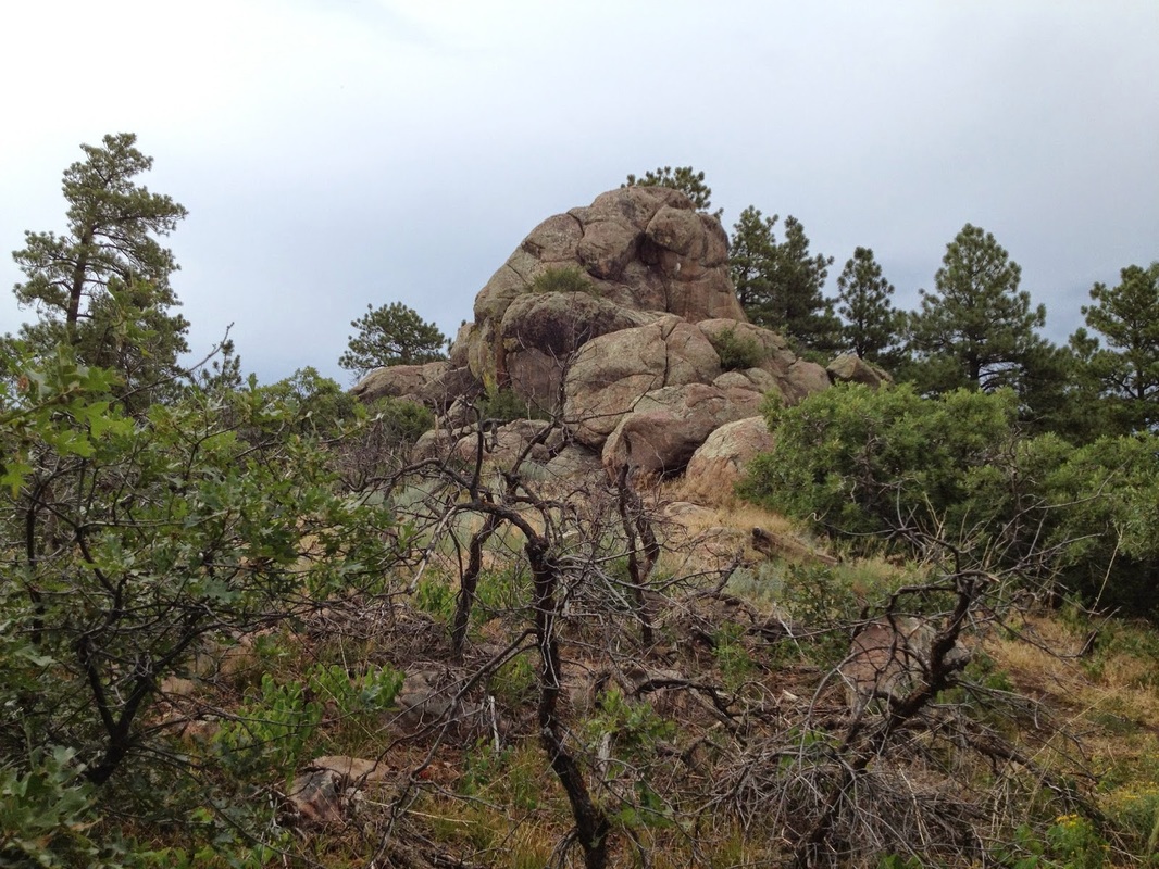
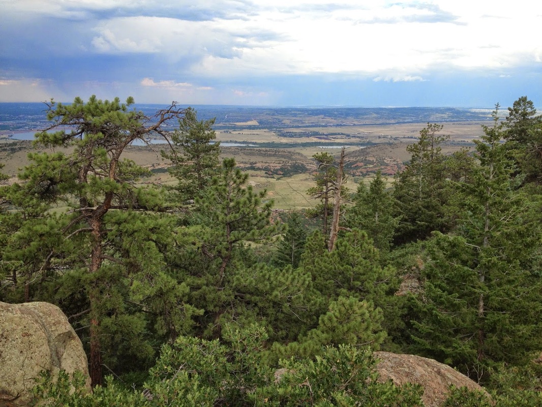
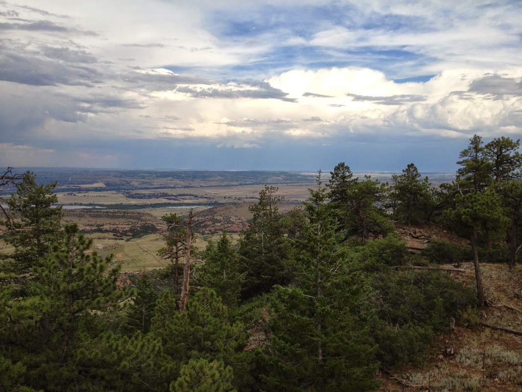
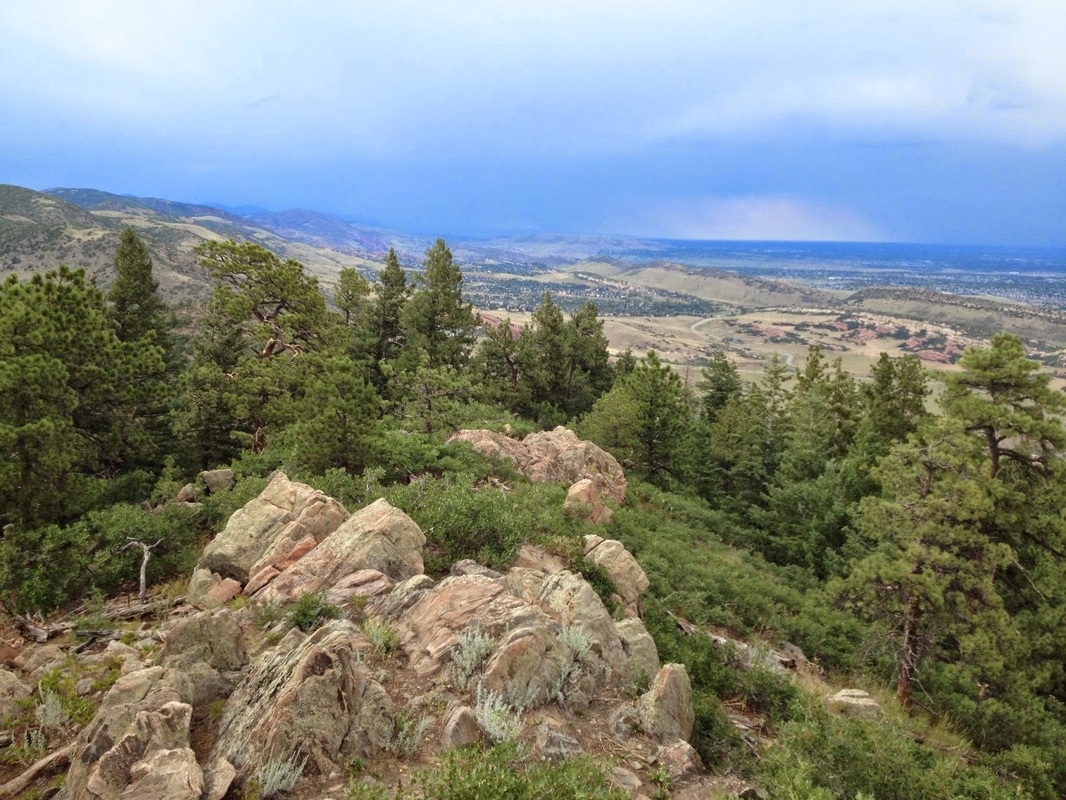
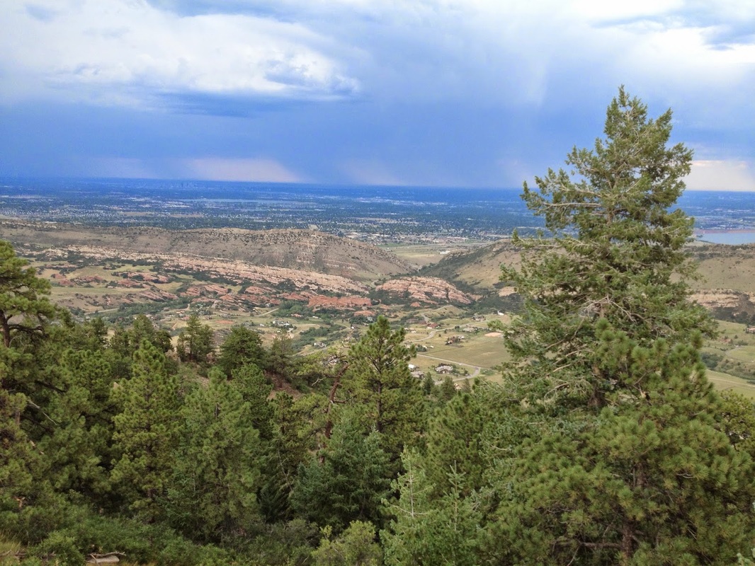
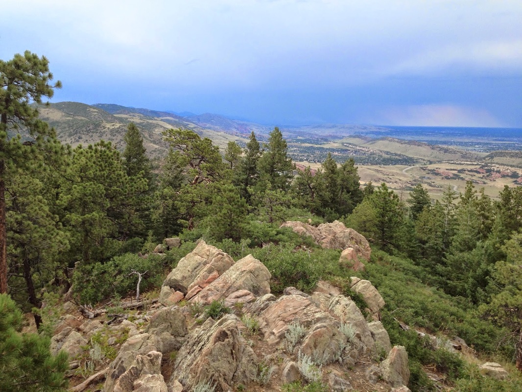
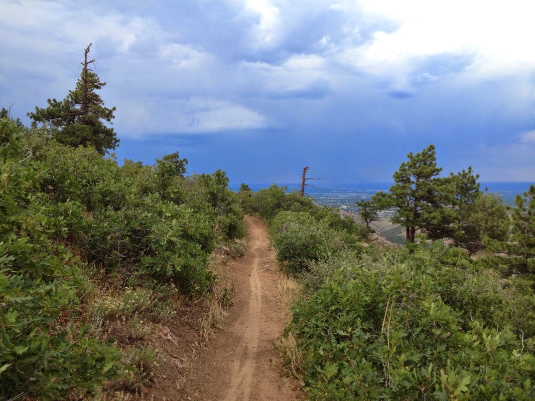
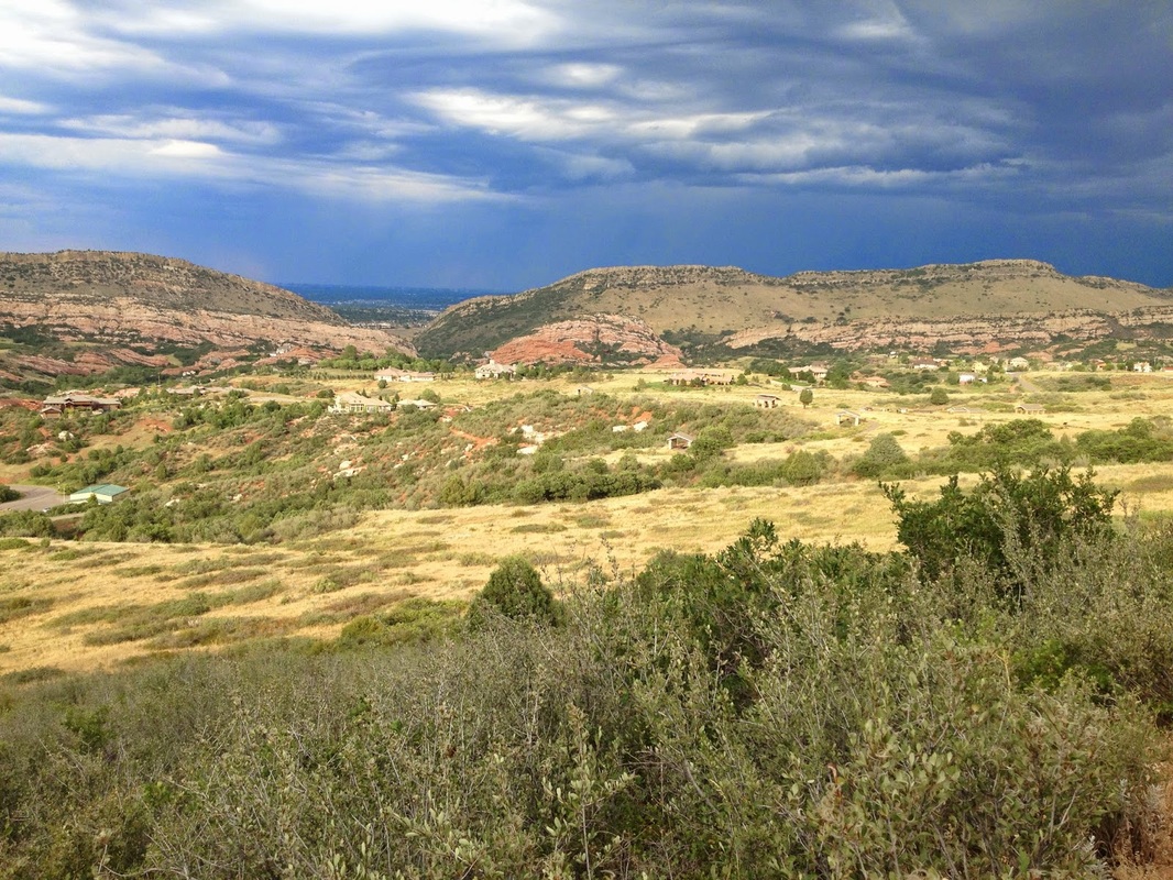
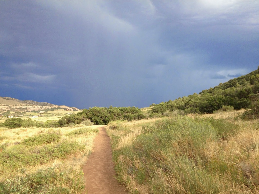
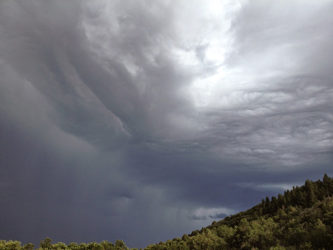
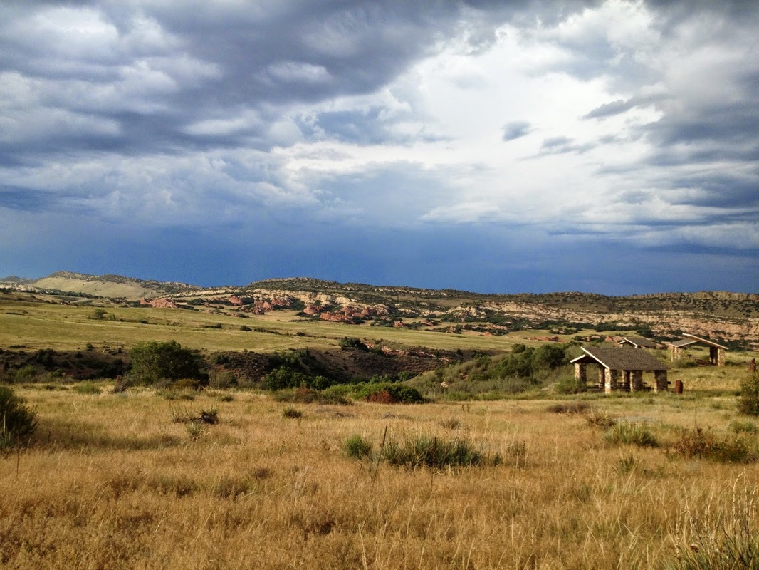
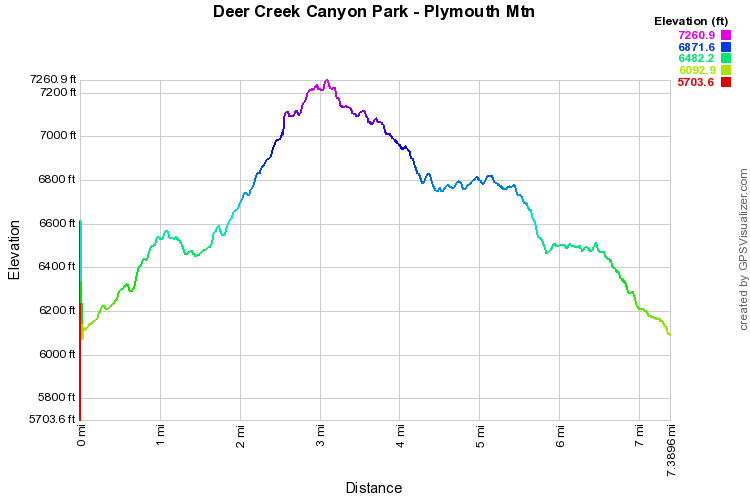
This is my favorite hike in Deer Creek Canyon Park.  At 7.4 miles it is a great workout but not so strenuous that it would take you all day.  Start off my hiking the Meadowlark Trail for 1.6 miles.  When it connects with the Plymouth Creek Trail turn right and head uphill on the rocky and sometimes steep Plymouth Creek Trail (watch out for mountain bikers).  Continue uphill for another .8 miles past the 1st junction with the Plymouth Mountain Trail and turn left at the second junction with the Plymouth Mountain Trail.  By this point you've gained much of the elevation and the hiking gets easier.

After half a mile, turn left onto the Scenic View Trail for a short ways to a wonderful overlook and viewpoint.  There are large boulders here but they are easy to scramble up for the best views.  Return on the Scenic View Trail and turn left back onto the Plymouth Mountain Trail.  Follow the trail as it skirts (mostly downhill) around Plymouth Mountain and connects back to the Plymouth Creek Trail.  On the return you can either continue with the Plymouth Creek Trail or take the Meadowlark Trail back to the parking lot, I prefer the Meadowlark Trail as it is hiker only, but the Plymouth Creek trail is the quickest way back.
Powered by Create your own unique website with customizable templates.