GO HIKE COLORADO
Get in Touch:
  • HOME
  • ABOUT
  • HIKES BY REGION
    • DENVER AREA >
      • Denver Mountain Parks
      • Jefferson County Open Space
      • Lakewood Parks
      • Denver Area Greenways
    • BOULDER AREA
    • DOUGLAS COUNTY
    • FORT COLLINS AREA
    • COLORADO SPRINGS AREA
    • FRONT RANGE
    • TENMILE & MOSQUITO RANGES
    • GORE RANGE
    • SANGRE DE CRISTO MOUNTAINS
    • PARK RANGE
    • SAWATCH RANGE
    • ELK MOUNTAINS
    • SAN JUAN MOUNTAINS
    • THE FLAT TOPS
    • GRAND MESA
    • COLORADO PLATEAU
    • EASTERN PLAINS
  • NATIONAL PARK HIKES
    • BENT'S OLD FORT NATIONAL HISTORIC SITE
    • BLACK CANYON OF THE GUNNISON NATIONAL PARK
    • COLORADO NATIONAL MONUMENT
    • CURECANTI NATIONAL RECREATION AREA
    • DINOSAUR NATIONAL MONUMENT
    • FLORISSANT FOSSIL BEDS NATIONAL MONUMENT
    • MESA VERDE NATIONAL PARK
    • ROCKY MOUNTAIN NATIONAL PARK
    • GREAT SAND DUNES NATIONAL PARK
    • HOVENWEEP NATIONAL MONUMENT
    • SAND CREEK MASSACRE NATIONAL HISTORIC SITE
    • YUCCA HOUSE NATIONAL MONUMENT
  • HIKES BY CATEGORY
    • HIKES TO ALPINE LAKES
    • HIKES TO PEAKS & PASSES
    • HIKES THROUGH CANYONS
    • HIKES WITH FALL COLORS
    • HIKES ALONG THE I-70 CORRIDOR
    • HIKES ON PAVED TRAILS
    • HIKES FOR KIDS
    • HIKES TO WATERFALLS
    • HIKES ALONG RIVERS
    • HIKES WITH ROCK FORMATIONS
    • HIKES WITH WILDFLOWERS
    • WINTER HIKES
  • NEWS
  • WEBCAMS
  • $UPPORT GHC
  • INTERACTIVE MAP

Grubstake > Pick n' Sledge Loop
Apex Park

Date Hiked: July 31, 2012

Distance: 5.4 mi (RT)

Elevation Gain: 1,800ft
Elevation Min: 5,798 to 7,244ft
Managing Agency: Jefferson County Open Space
Fee: None

Apex Park Trail Map
Picture

Directions: From Denver, take I-70 West, exit 6th Ave West/Colfax.  Head West on Colfax and turn right into Heritage Square/Apex Park.

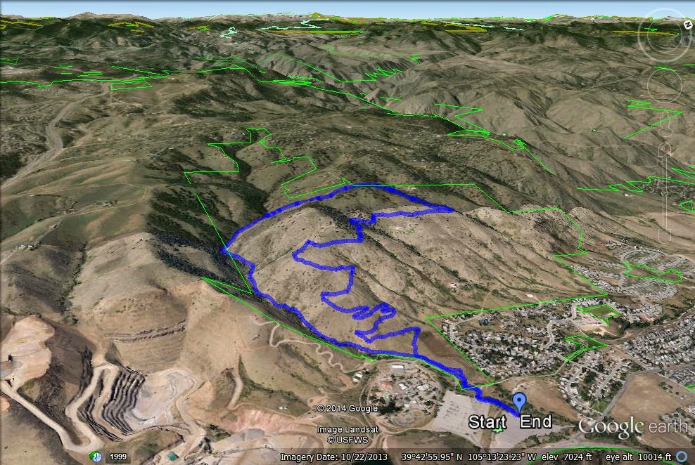
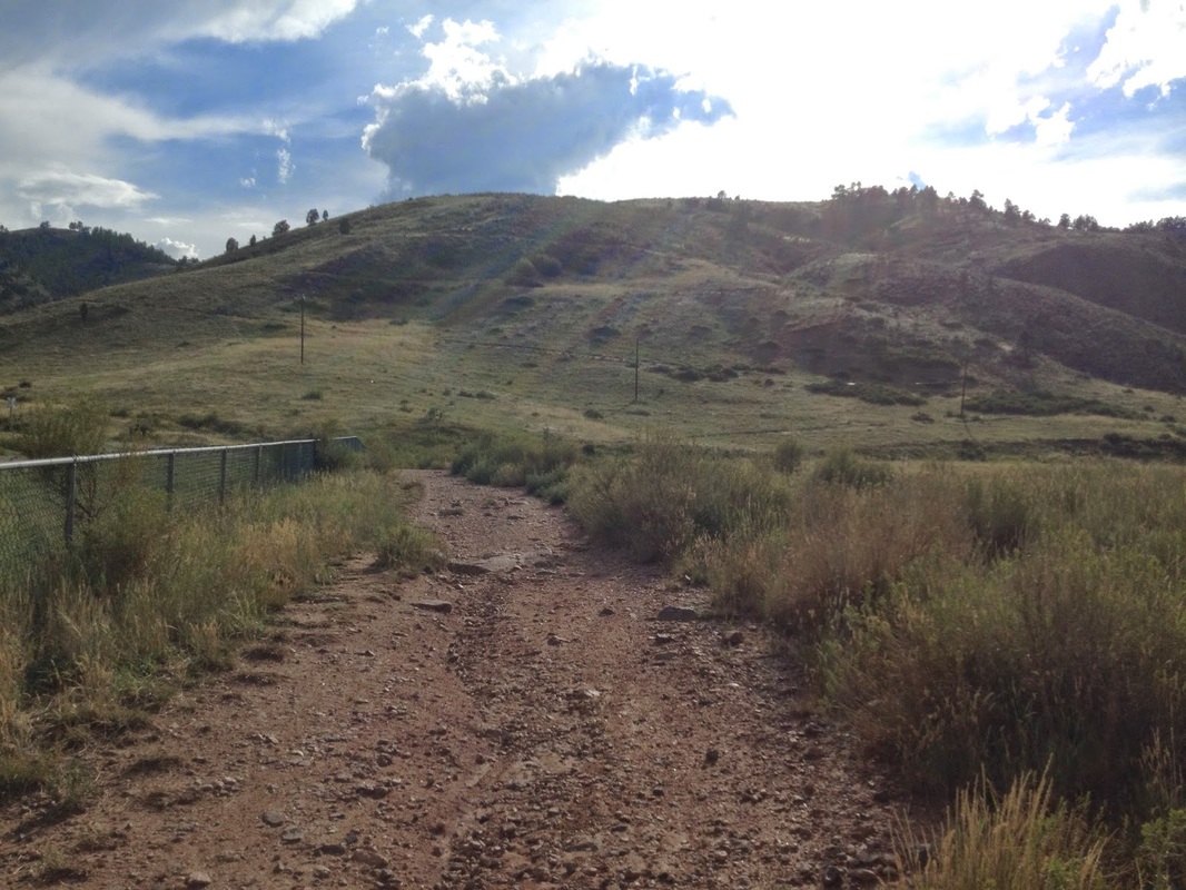
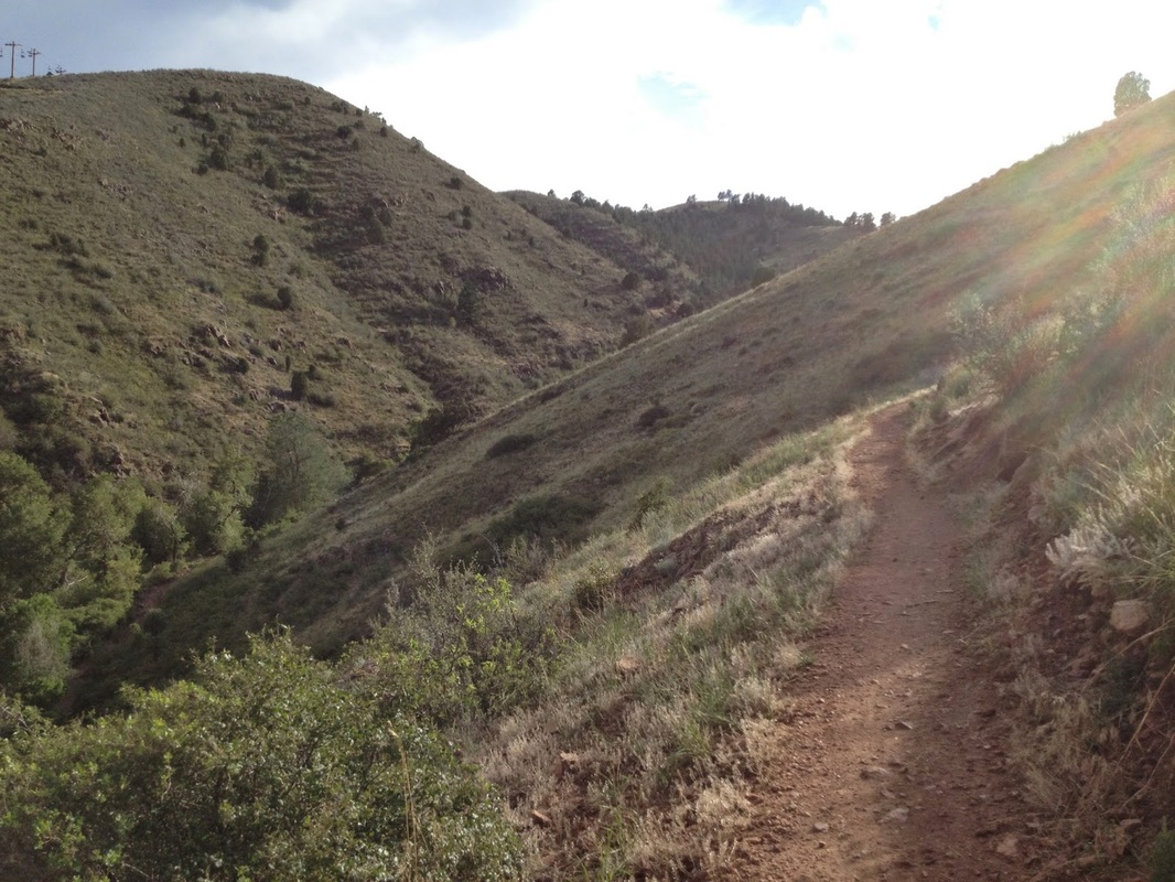
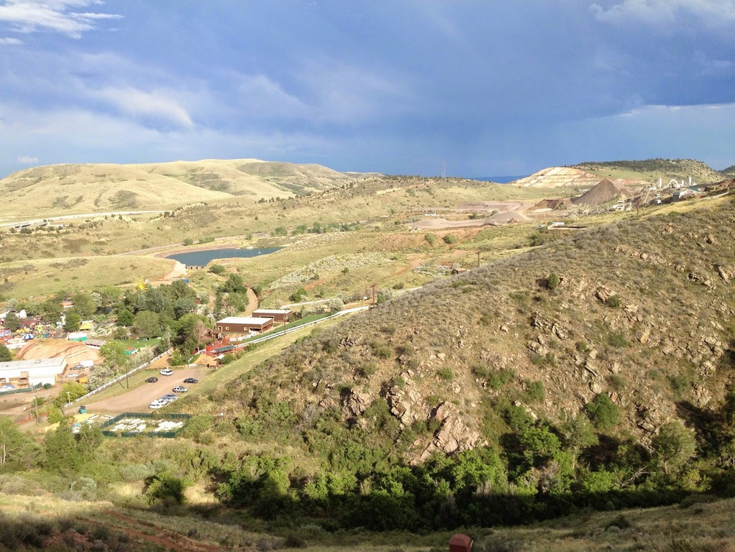
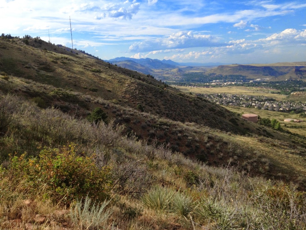
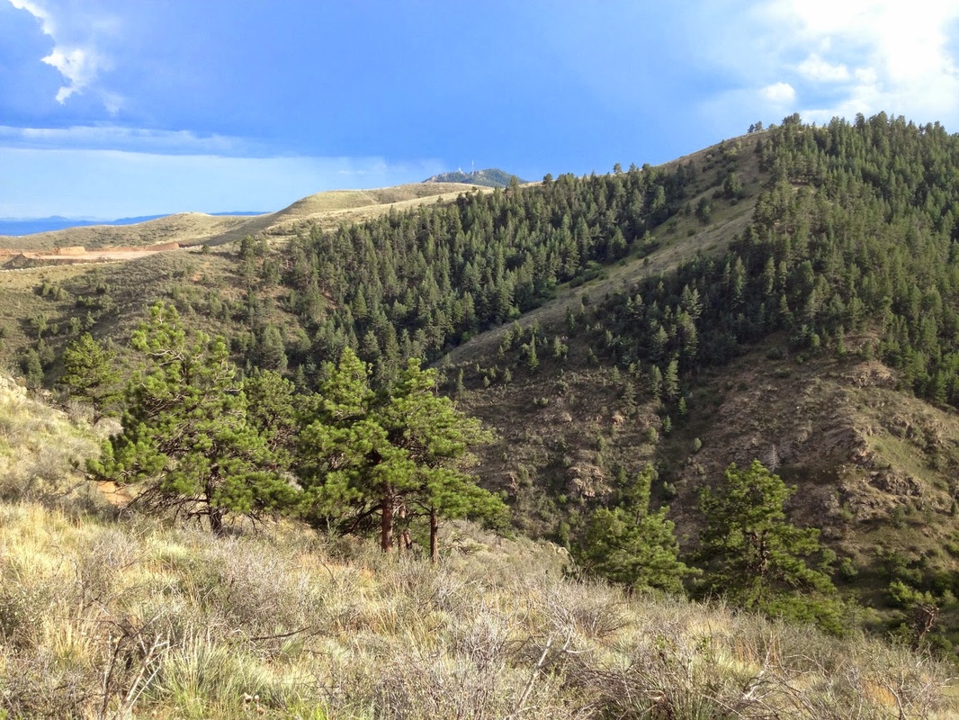
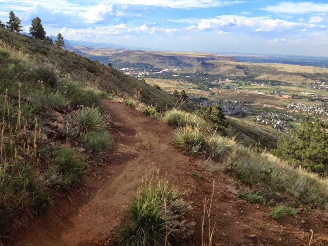
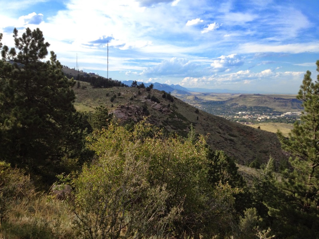
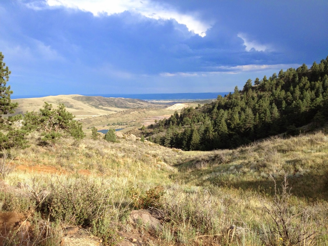
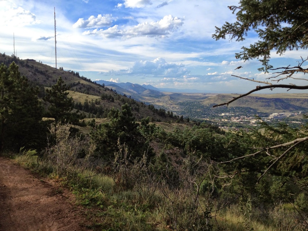
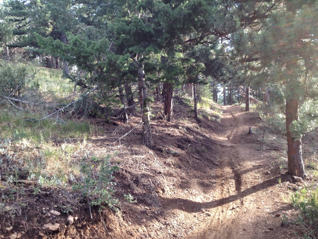
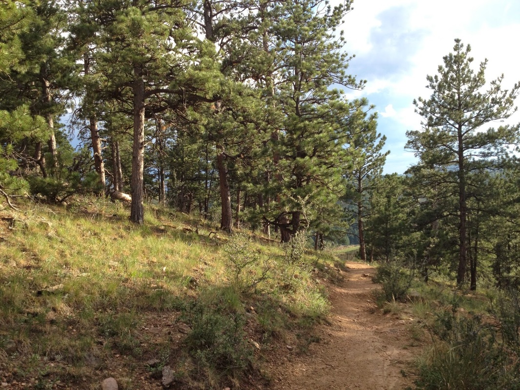
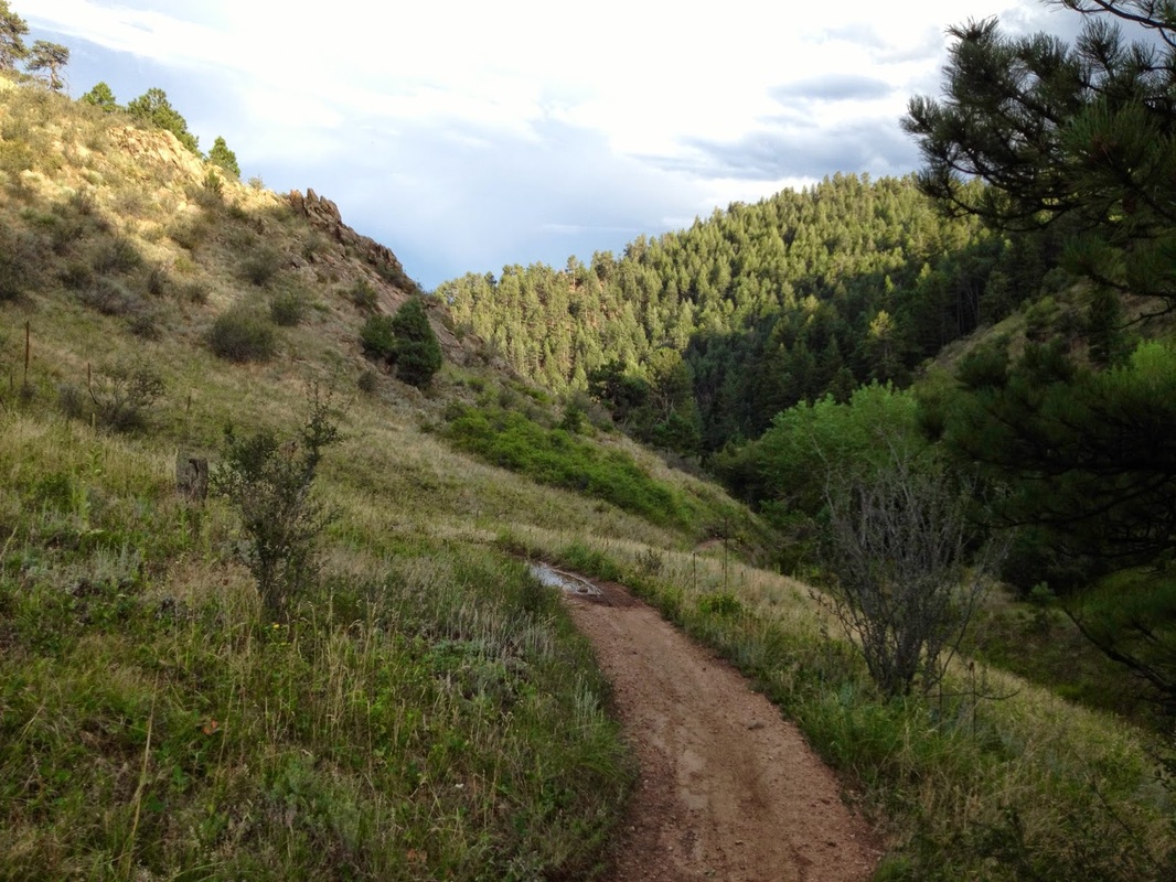
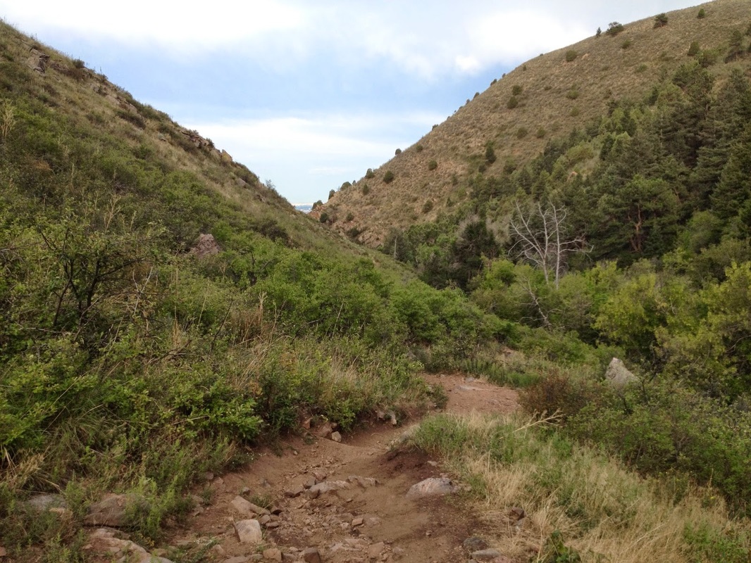
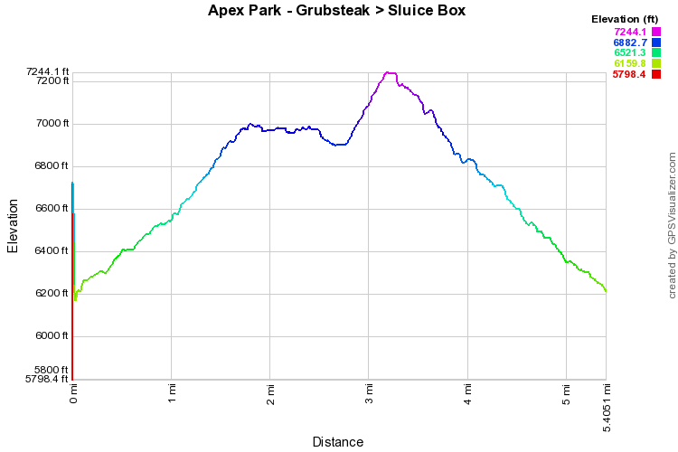
The Grubstake > Pick-N-Sledge loop is accessed via the Argos Trail or the Apex Trail.  This is the main loop in the park and is a great workout.  From the parking lot, take the Argos trail as it switchbacks up the eastern face of Indian Mountain.  After .7 miles you'll reach the junction for Pick-N-Sledge Trail, head right for this hike or head left for a shorter loop.  The Pick-N-Sledge trail continues switchbacking up the mountain to the trail junction for the Grubstake Trail.  The views along the Pick-N-Sledge back east towards Denver and Golden are wonderful and some of the best views the park has to offer.  The Grubstake trail heads north along the side of the mountain weaving in and out of Pine Forest.   After a little ways, you enter a deep dark forest, turn west, then south and switchback up towards the summit of Indian Mountain. 

You don't actually gain the summit before meeting up with the Pick-N-Sledge Trail and Sluicebox trail.   For this hike, I took the Sluicebox Trail down to the Apex Trail to return to the Trailhead, but apparently the Apex trail is still mostly closed due to the 2013 floods, so the Pick-N-Sledge is your only option for returning to the trailhead.  Check the park map before heading out.  If open, the Apex Trail is a straight shot down the canyon back to the parking lot.  The Pick-N-Sledge is a bit more scenic but will take longer.  Either way, you'll be feeling this hike the next day, a great training resource and extremely close to Denver/Golden.
Powered by Create your own unique website with customizable templates.