GO HIKE COLORADO
Get in Touch:
  • HOME
  • ABOUT
  • HIKES BY REGION
    • DENVER AREA >
      • Denver Mountain Parks
      • Jefferson County Open Space
      • Lakewood Parks
      • Denver Area Greenways
    • BOULDER AREA
    • DOUGLAS COUNTY
    • FORT COLLINS AREA
    • COLORADO SPRINGS AREA
    • FRONT RANGE
    • TENMILE & MOSQUITO RANGES
    • GORE RANGE
    • SANGRE DE CRISTO MOUNTAINS
    • PARK RANGE
    • SAWATCH RANGE
    • ELK MOUNTAINS
    • SAN JUAN MOUNTAINS
    • THE FLAT TOPS
    • GRAND MESA
    • COLORADO PLATEAU
    • EASTERN PLAINS
  • NATIONAL PARK HIKES
    • BENT'S OLD FORT NATIONAL HISTORIC SITE
    • BLACK CANYON OF THE GUNNISON NATIONAL PARK
    • COLORADO NATIONAL MONUMENT
    • CURECANTI NATIONAL RECREATION AREA
    • DINOSAUR NATIONAL MONUMENT
    • FLORISSANT FOSSIL BEDS NATIONAL MONUMENT
    • MESA VERDE NATIONAL PARK
    • ROCKY MOUNTAIN NATIONAL PARK
    • GREAT SAND DUNES NATIONAL PARK
    • HOVENWEEP NATIONAL MONUMENT
    • SAND CREEK MASSACRE NATIONAL HISTORIC SITE
    • YUCCA HOUSE NATIONAL MONUMENT
  • HIKES BY CATEGORY
    • HIKES TO ALPINE LAKES
    • HIKES TO PEAKS & PASSES
    • HIKES THROUGH CANYONS
    • HIKES WITH FALL COLORS
    • HIKES ALONG THE I-70 CORRIDOR
    • HIKES ON PAVED TRAILS
    • HIKES FOR KIDS
    • HIKES TO WATERFALLS
    • HIKES ALONG RIVERS
    • HIKES WITH ROCK FORMATIONS
    • HIKES WITH WILDFLOWERS
    • WINTER HIKES
  • NEWS
  • WEBCAMS
  • $UPPORT GHC
  • INTERACTIVE MAP

Hummingbird > Chickadee > Songbird Loop
Reynolds Park

Date Hiked: March 17, 2013

​Distance: 3.6 mi (RT)
Elevation Gain: 800ft
Elevation Min/Max: 7,002 to 7,614ft
Managing Agency: Jefferson County Open Space
Fee: None

Reynolds Park Website
Picture

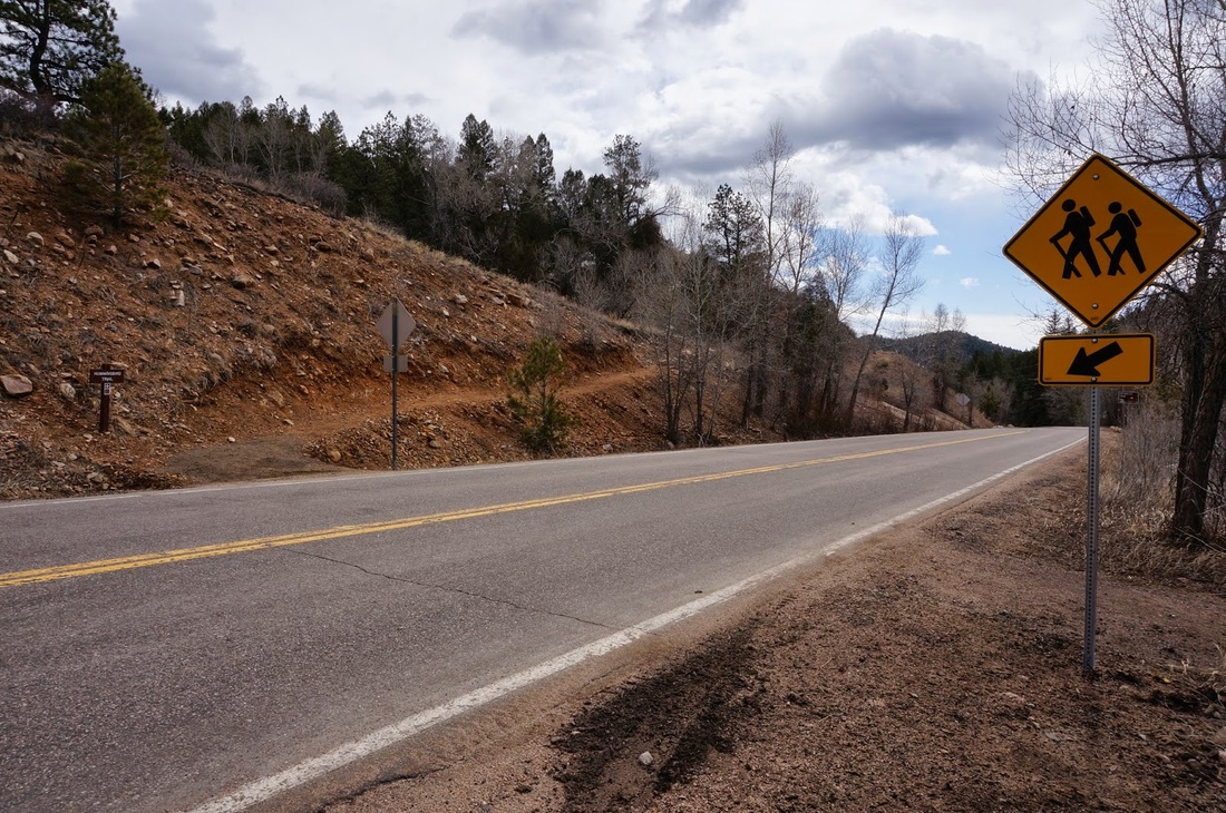
Directions:  From Denver, take 285 south to the Foxton Road exit (look for park signs on the highway).  Head south on Foxton Road until you enter the park.  The main parking area is on the south side of Foxton Road, park here and walk across the road to the Hummingbird Trailhead.

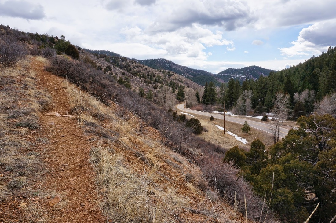
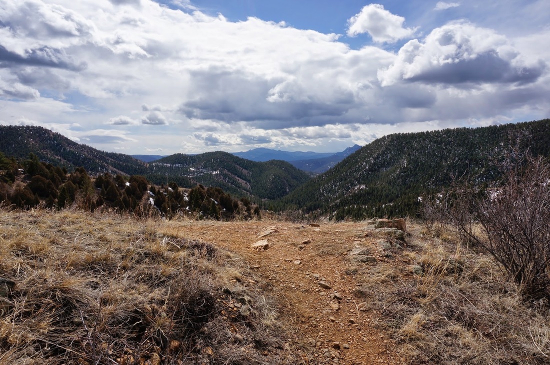
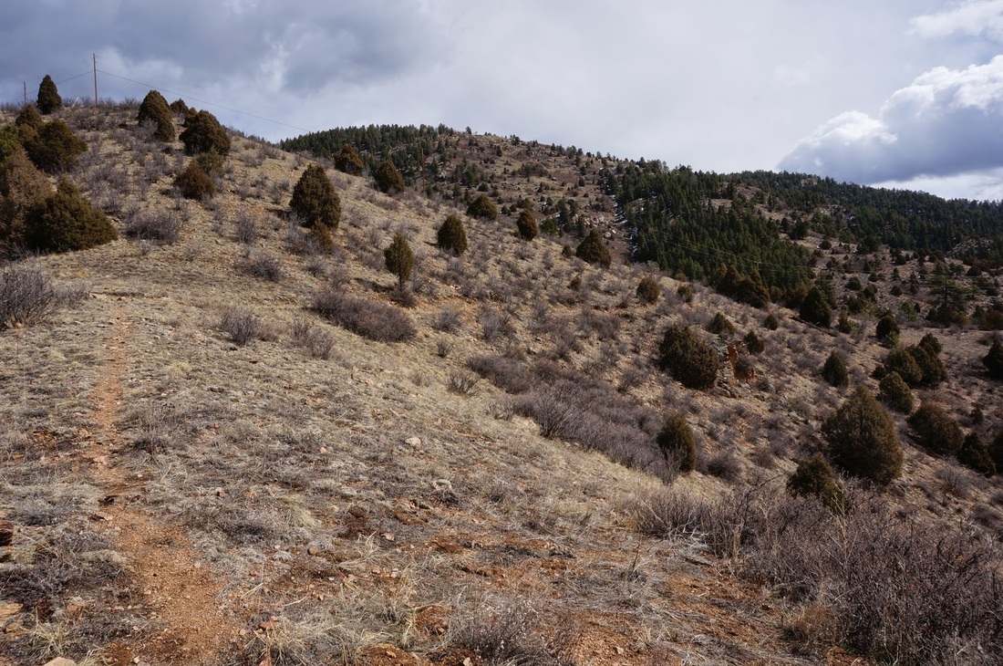
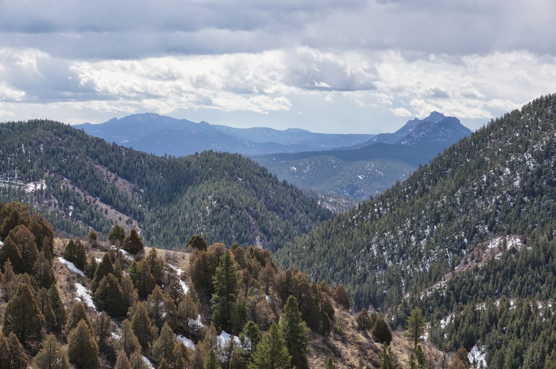
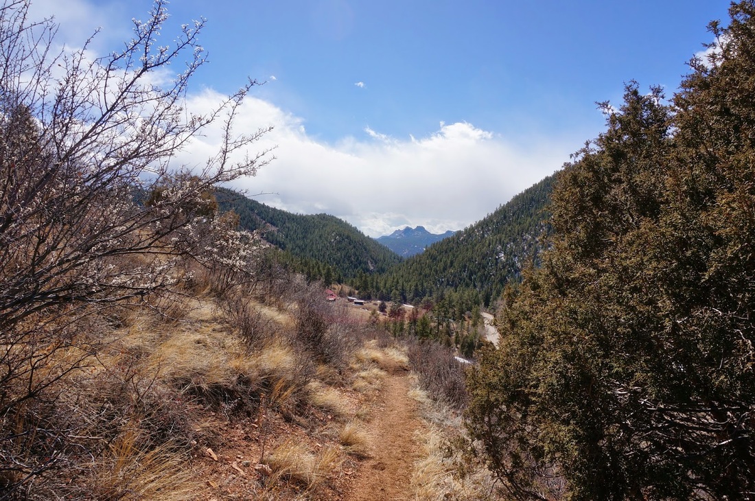
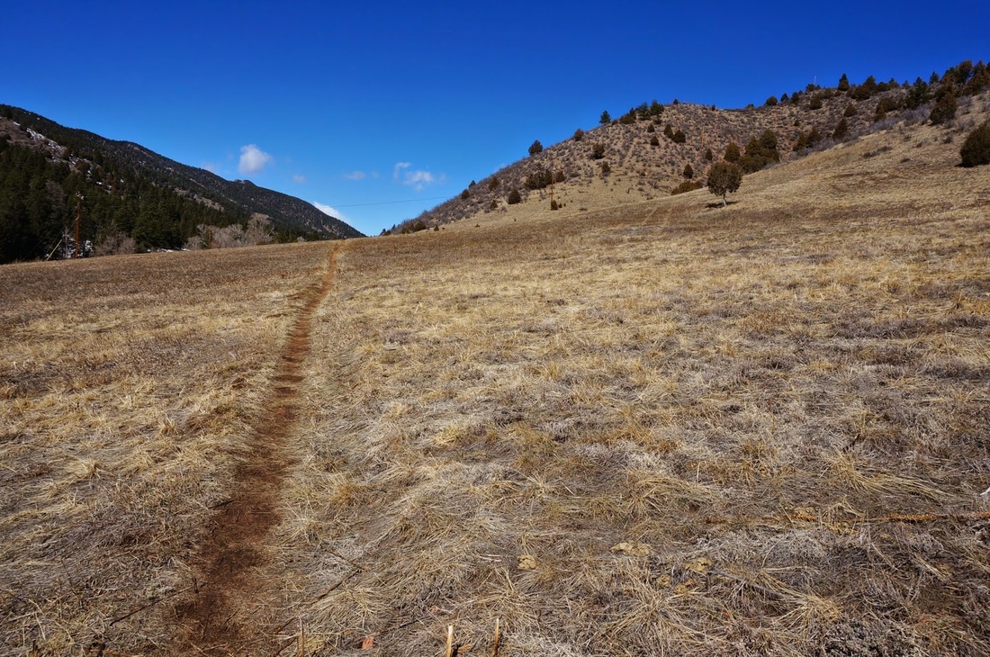
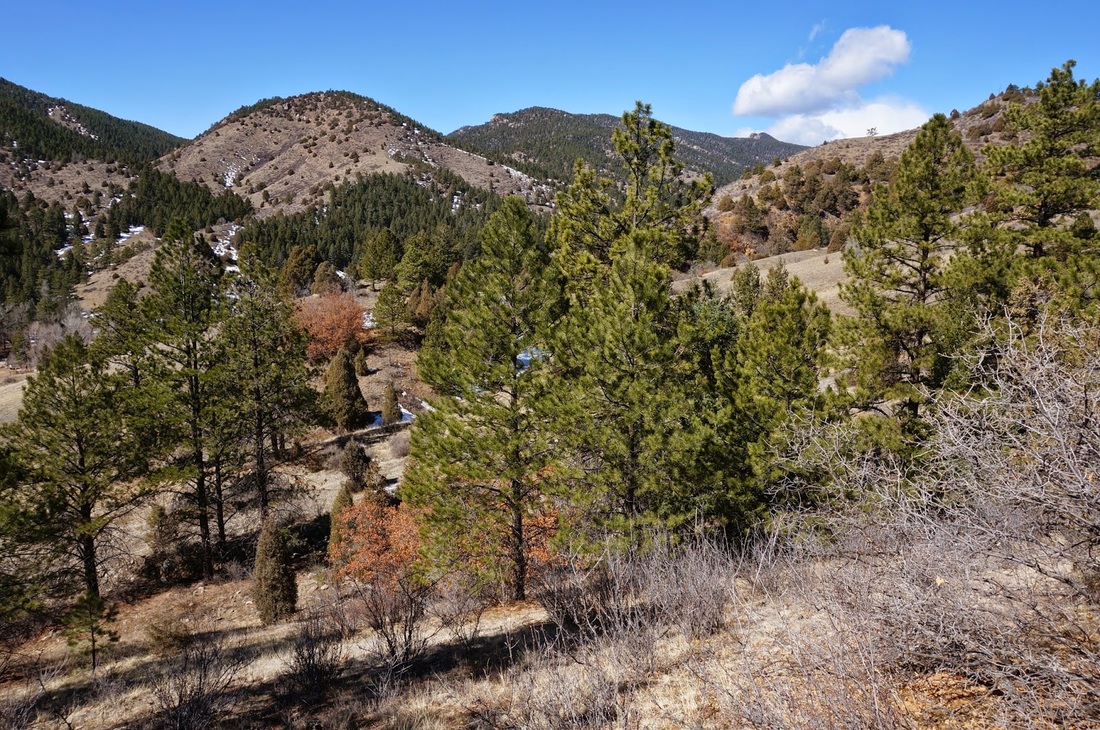
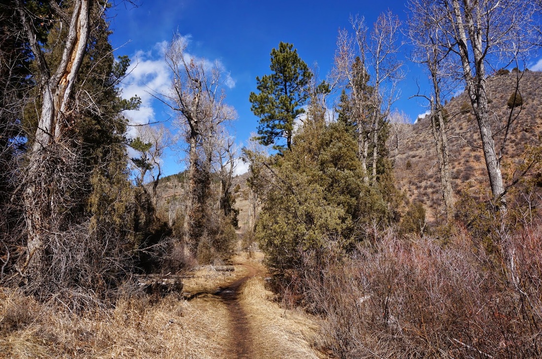
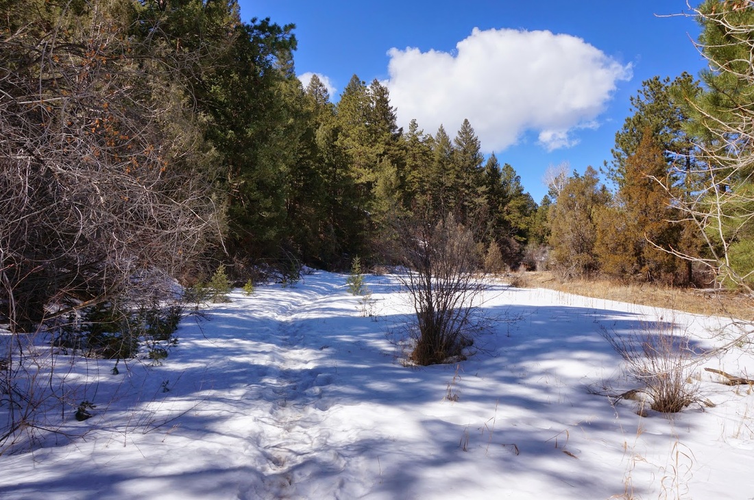
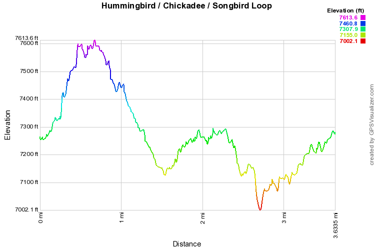
This is the easier of the two trail systems in Reynolds Park, and although you don't get the incredible views of the Eagle's View Trail, you still get great views down the valley to the Cathedral Spires/Scraggy Peak area.  You start switchbacking up the side of the ridge, crest the ridge, and descend down the other side, easy enough...  There are benches and viewpoints along the way and you'll travel in and out of evergreen forest the entire way.  Once you descend from the ridge, you have the option of taking the Chickadee trail for a little more adventure.

The Chickadee trail mainly leads to the park's campground but it makes for a nice hike across rolling fields and small canyons.  Once you reach the campground go back the way you came (unless your camping...).  When you reach the trail junction with the Hummingbird, head south and cross Foxton Rd again, this will put you onto the Songbird trail which you can follow back to the parking area.  The Songbird trail is a beautiful trail, especially in the early season when the creek it follows is flowing.  It makes for a nice way to finish out the hike. 
Powered by Create your own unique website with customizable templates.