GO HIKE COLORADO
Get in Touch:
  • HOME
  • ABOUT
  • HIKES BY REGION
    • DENVER AREA >
      • Denver Mountain Parks
      • Jefferson County Open Space
      • Lakewood Parks
      • Denver Area Greenways
    • BOULDER AREA
    • DOUGLAS COUNTY
    • FORT COLLINS AREA
    • COLORADO SPRINGS AREA
    • FRONT RANGE
    • TENMILE & MOSQUITO RANGES
    • GORE RANGE
    • SANGRE DE CRISTO MOUNTAINS
    • PARK RANGE
    • SAWATCH RANGE
    • ELK MOUNTAINS
    • SAN JUAN MOUNTAINS
    • THE FLAT TOPS
    • GRAND MESA
    • COLORADO PLATEAU
    • EASTERN PLAINS
  • NATIONAL PARK HIKES
    • BENT'S OLD FORT NATIONAL HISTORIC SITE
    • BLACK CANYON OF THE GUNNISON NATIONAL PARK
    • COLORADO NATIONAL MONUMENT
    • CURECANTI NATIONAL RECREATION AREA
    • DINOSAUR NATIONAL MONUMENT
    • FLORISSANT FOSSIL BEDS NATIONAL MONUMENT
    • MESA VERDE NATIONAL PARK
    • ROCKY MOUNTAIN NATIONAL PARK
    • GREAT SAND DUNES NATIONAL PARK
    • HOVENWEEP NATIONAL MONUMENT
    • SAND CREEK MASSACRE NATIONAL HISTORIC SITE
    • YUCCA HOUSE NATIONAL MONUMENT
  • HIKES BY CATEGORY
    • HIKES TO ALPINE LAKES
    • HIKES TO PEAKS & PASSES
    • HIKES THROUGH CANYONS
    • HIKES WITH FALL COLORS
    • HIKES ALONG THE I-70 CORRIDOR
    • HIKES ON PAVED TRAILS
    • HIKES FOR KIDS
    • HIKES TO WATERFALLS
    • HIKES ALONG RIVERS
    • HIKES WITH ROCK FORMATIONS
    • HIKES WITH WILDFLOWERS
    • WINTER HIKES
  • NEWS
  • WEBCAMS
  • $UPPORT GHC
  • INTERACTIVE MAP

Nightbird Gulch to Summit Loop
Mount Galbraith Park

Date Hiked: August 29, 2014

​Distance: 5 mi (RT)

Elevation Gain: 1,296ft
Elevation Min/Max: 5,936 to 7,267ft
Managing Agency: Jefferson County Open Space
Fee: None

Mount Galbraith Park Website
Picture

Directions:  To get to the Nightbird Gulch trailhead, you need to find the neighborhood access.  As neighborhood access, goes, this is pretty good.  There is a long curb for parking and a clear trail sign, please be respectful of the residents as this is a neighborhood street.  From Denver, take I-70 west to 58 towards Golden.  Turn right (north) on Hwy 93.  At the traffic signal turn left on Iowa Drive and then Right on Canyon Point Circle, the trailhead is on the right.

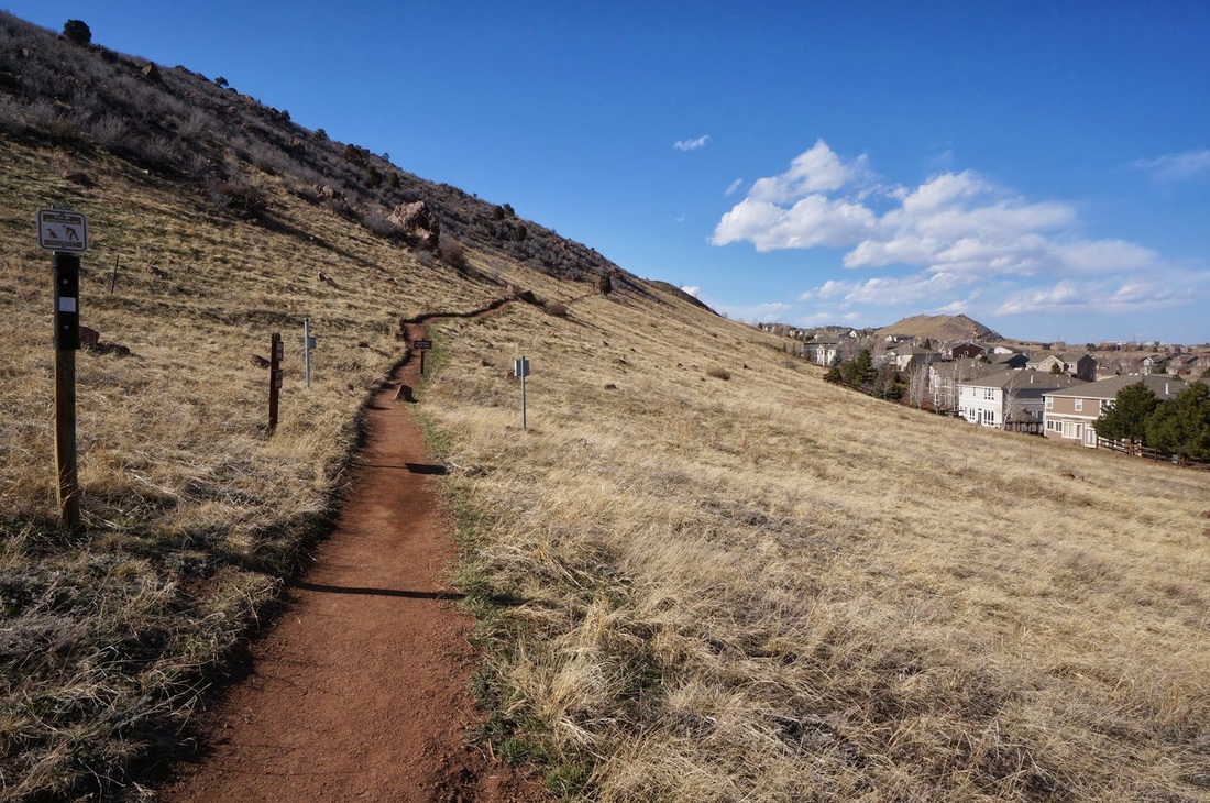
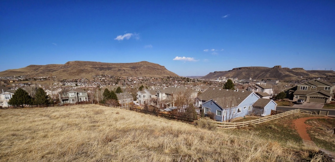
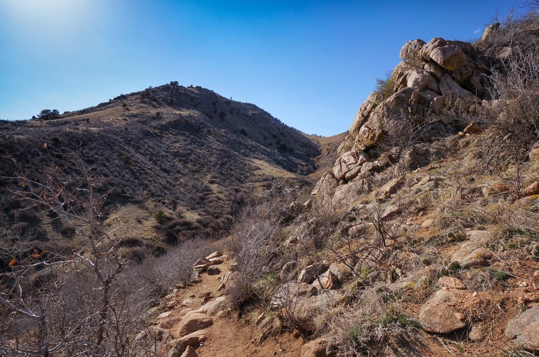
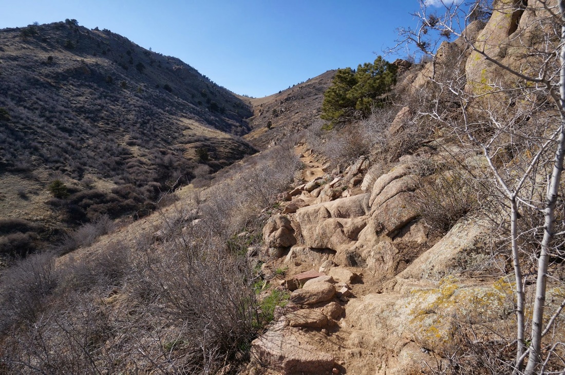
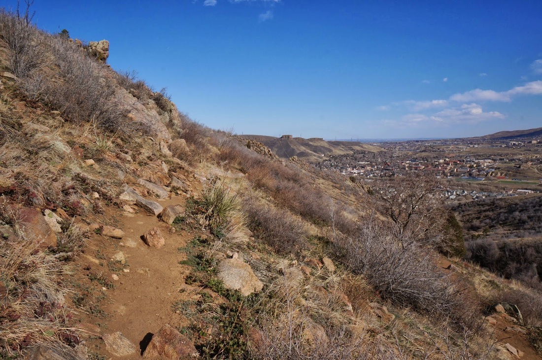
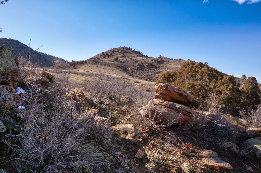
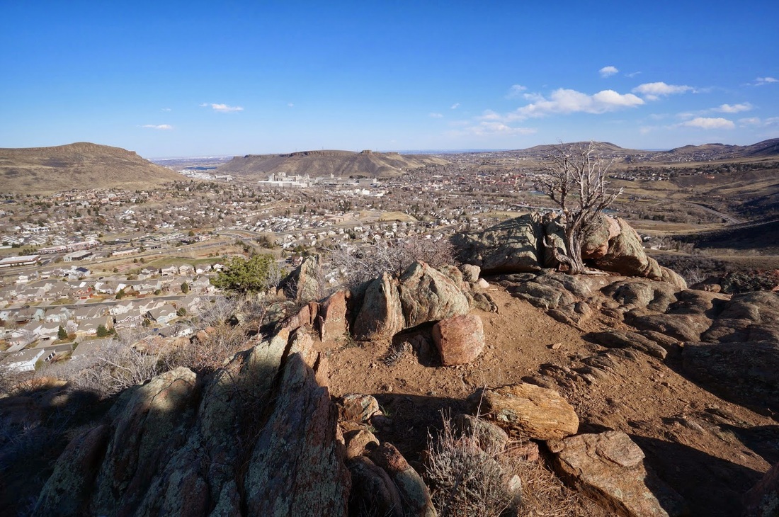
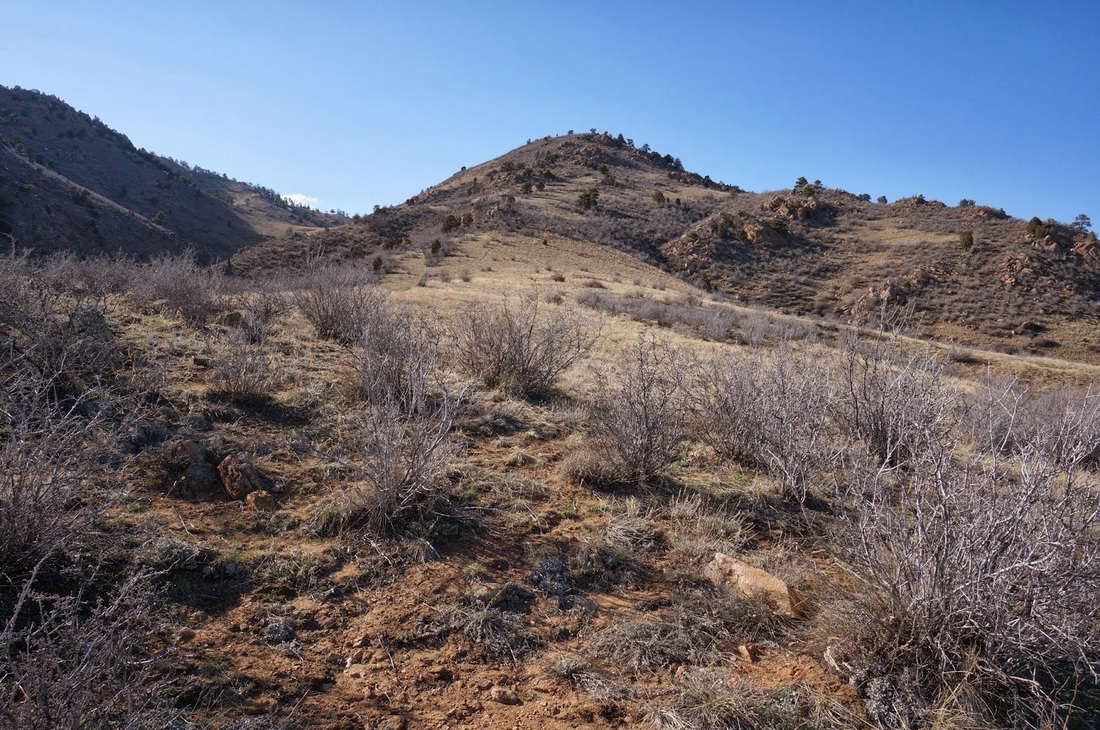
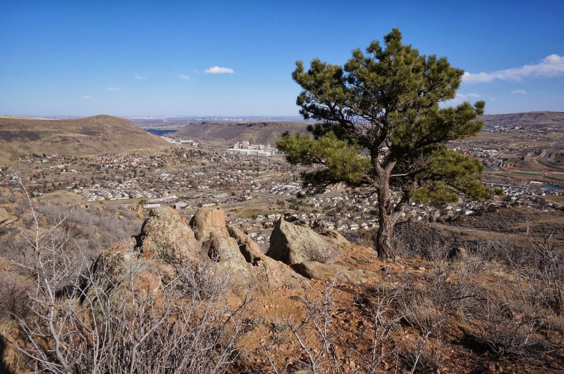
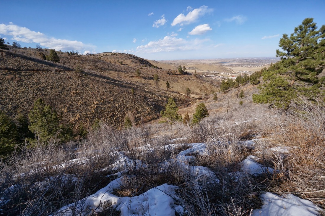
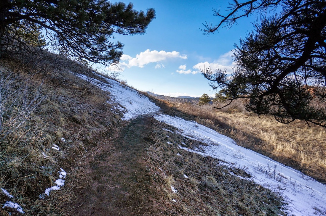
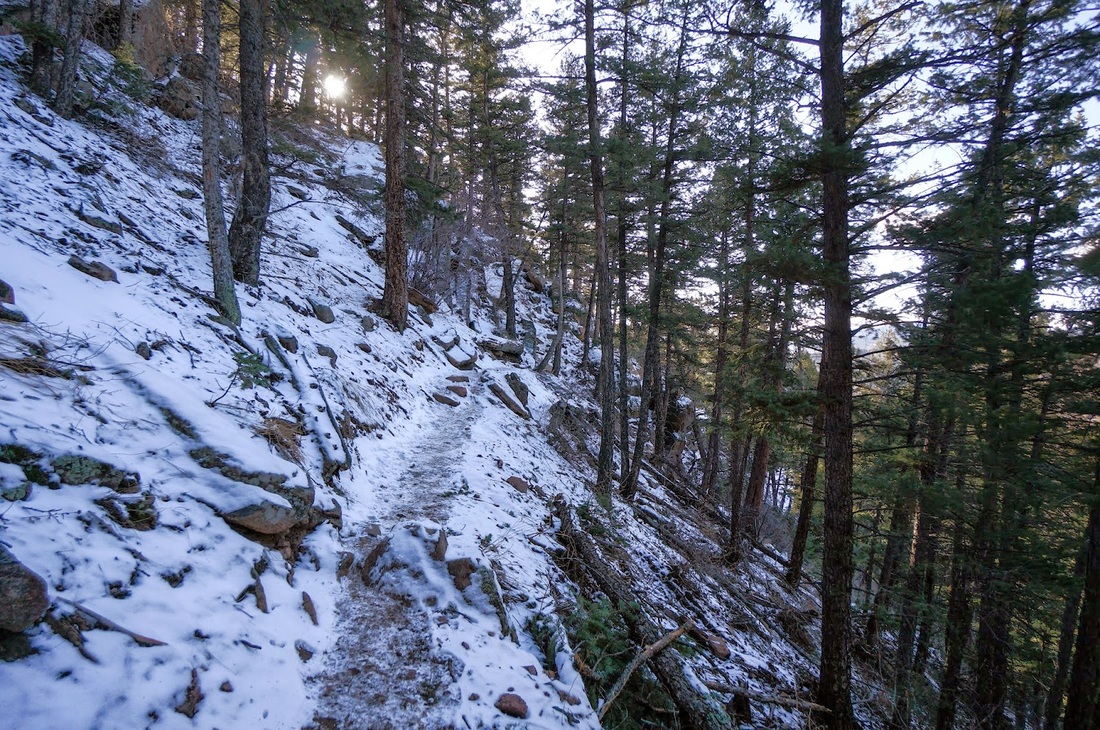
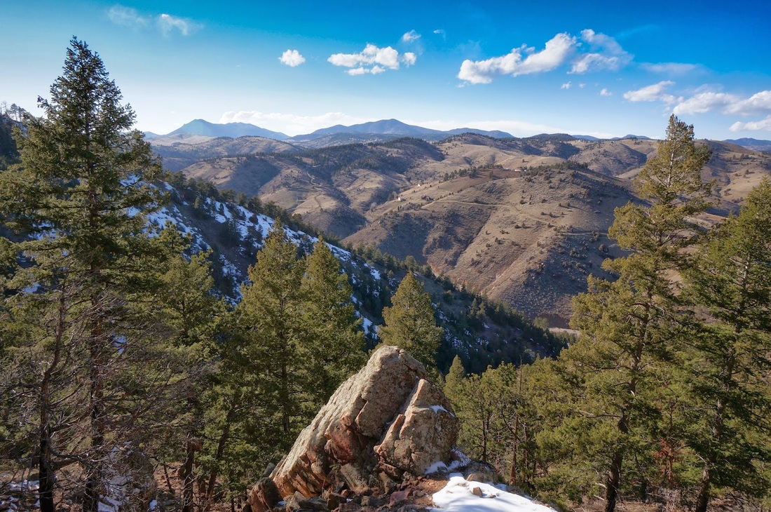
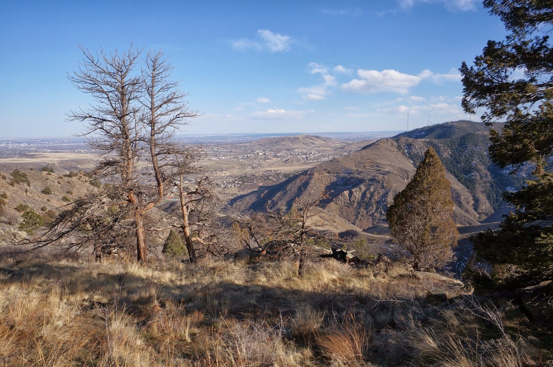
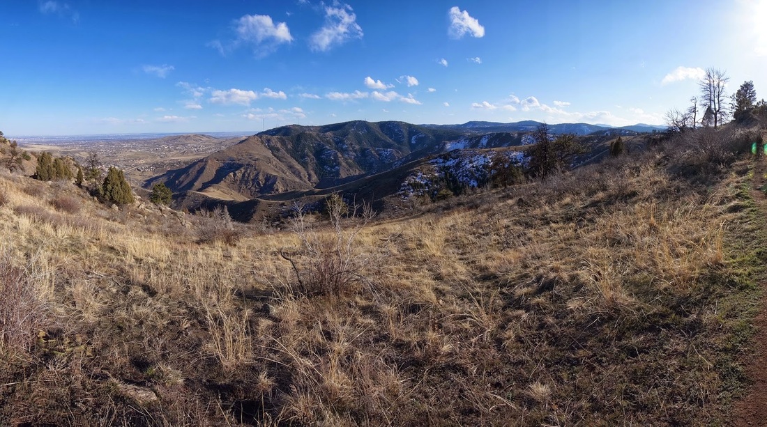
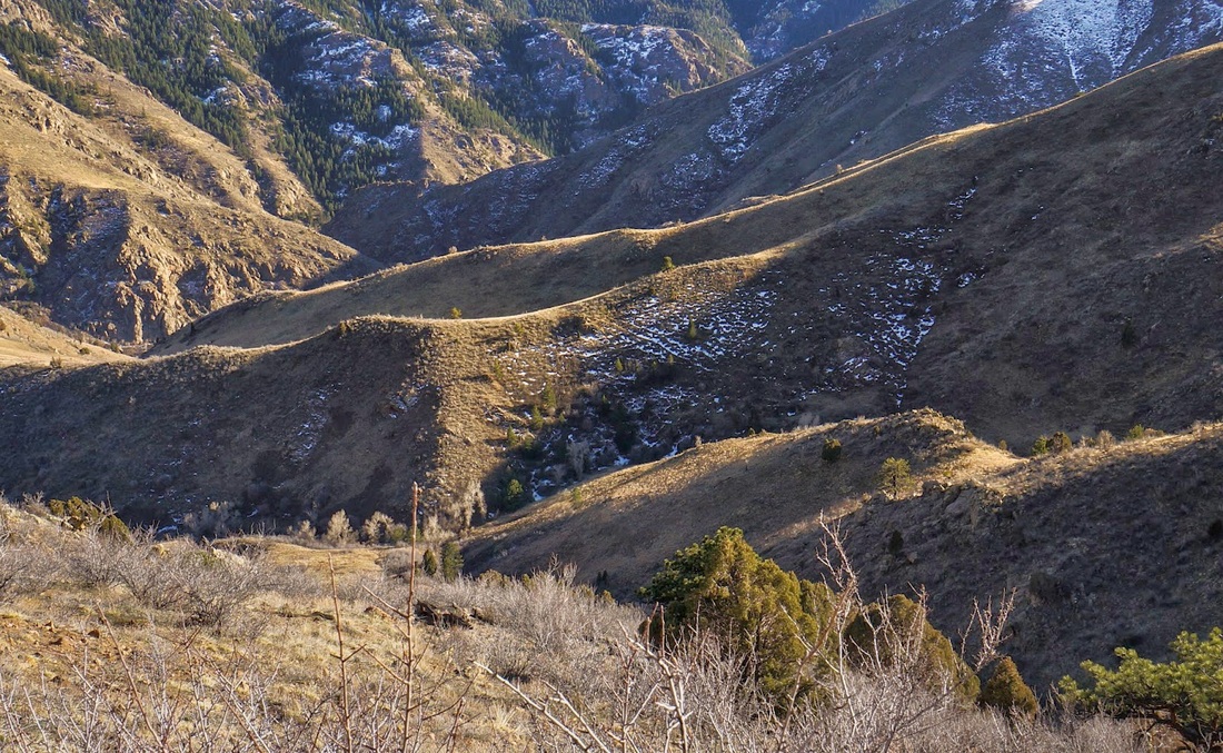
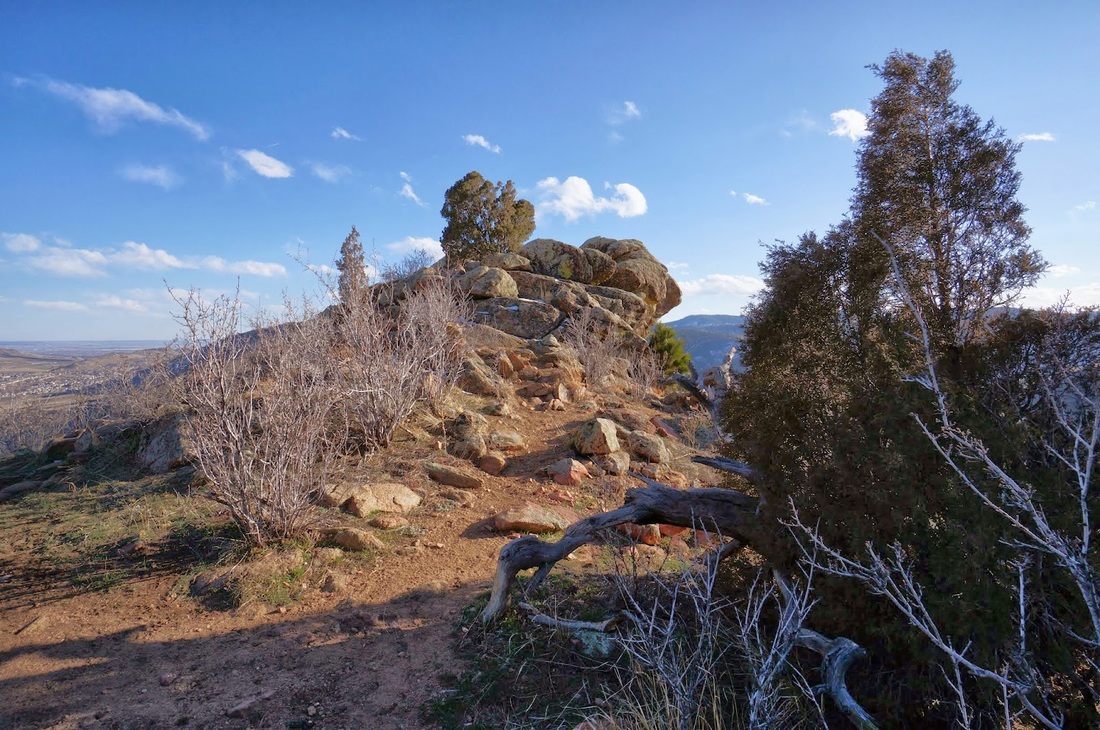
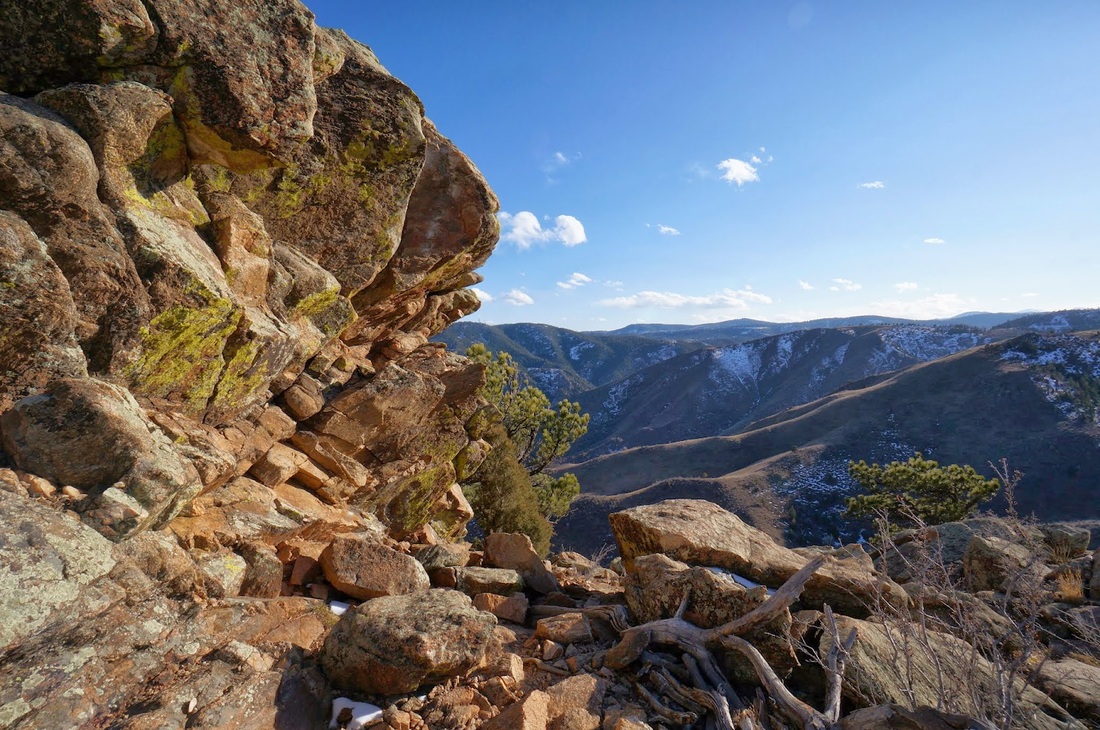
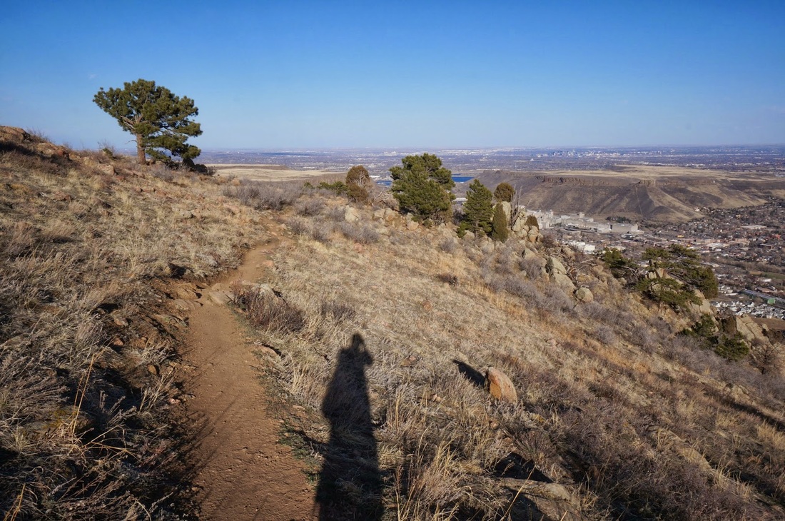
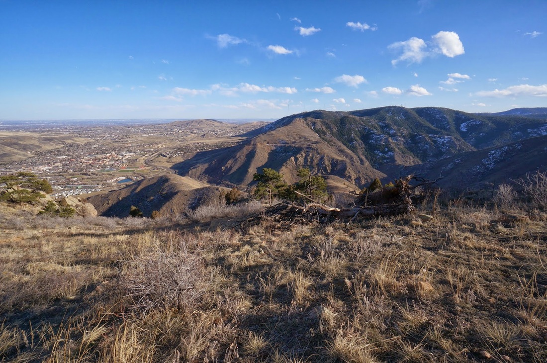
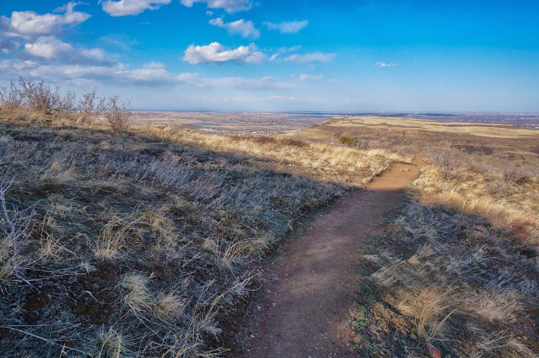
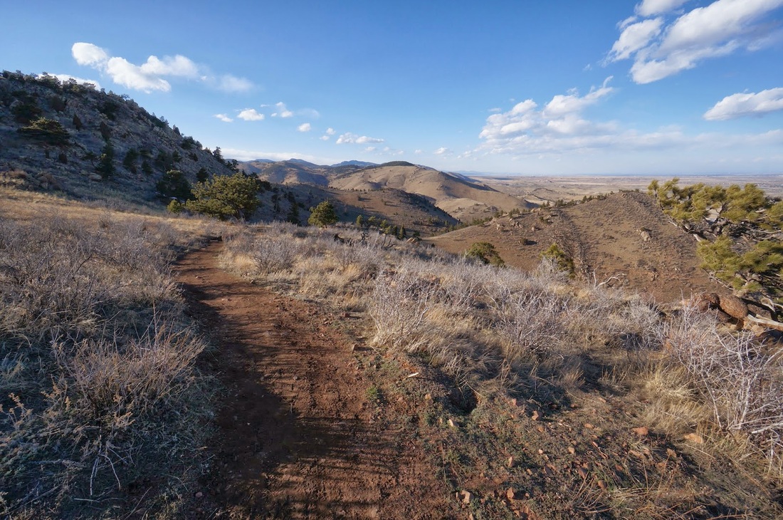
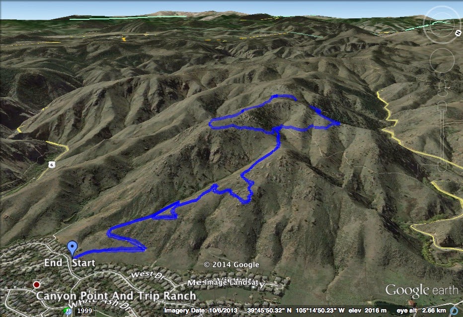
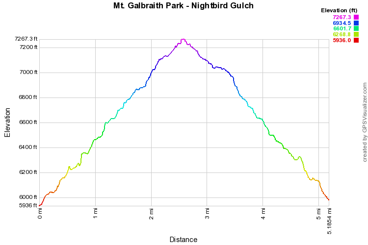
The trail starts by climbing a wood staircase, then you traverse the east slope of Mount Galbraith for a few switchbacks before entering Nightbird Gulch.  This is a really fun trail, it is rocky and rugged and makes for a more wildernessy experience.  Nightbird Gulch makes you feel like you are hiking in the deserts of Nevada, the trail is lined with prickly pear cactus.  The trail switchbacks up the gulch until you reach the saddle.  From here you connect with the Mount Galbraith Loop trail at 1.7 miles.  The loop is 1.5 miles and climbs to the summit of Mount Galbraith, through open hillsides and pine forest.  The trail gets rocky and treacherous when icy.  After you hit the high point (not the real summit) you start to descend along the south face of the mountain and are rewarded with wonderful views of Lookout Mountain, Golden, the Table Mountains, and if you look way to the west you can just make out Mount Evans popping up over the horizon. The trail reconnects with Nightbird Gulch, and down you go.

Mt. Galbraith Park seems just a little more rugged and hidden away then the other Jefferson County Open Space Parks.  t's not as crowded as Mount Falcon or White Ranch even though it is the closest park to Golden.  Maybe it's because the whole park is hiker only, maybe it's just the scenic nature of the mountain.  Whatever it is, Nightbird Gulch offers a less crowded trail and simply a fun hike, Enjoy!


© Go Hike Colorado, 2020.  All Rights Reserved. 
Use of photographs without prior authorization is
​strictly prohibited.


Contact us at:
[email protected]
Legal Disclaimer - Information provided on this site is based upon our own observations, always double check information with the appropriate land management agency before heading into the backcountry.  Backcountry travel is inherently dangerous, please take all proper precautions.  Go Hike Colorado is not responsible for injury or incident.